One of the most beautiful and well-known long-distance trails in the Netherlands is the Pieterpad. The trail, stretching approximately 500 kilometers, runs through the Eastern part of the country from the most northern point all the way to the southern tip of the country. It passes by many national parks, picturesque villages, as well as cultural and historical landmarks. It is not a challenging or mountainous hike, as the Netherlands is mostly flat. But during the hike, which is divided into 26 stages, there is a lot of variety in scenery, and you will see the Dutch landscape gradually change along the way.
Pieterpad
The Trail
Each stage’s starting and ending points are easily accessible and offer flexibility in terms of distance and difficulty. Many people hike the path over multiple weekends or holidays, completing the trail in stages, while others take on the challenge of tackling the path in one continuous journey. The trail is marked in both directions; however, the official route begins in the small village of Pieterburen and heads south.
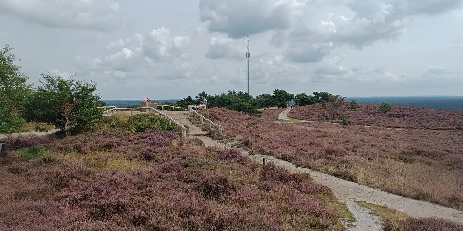
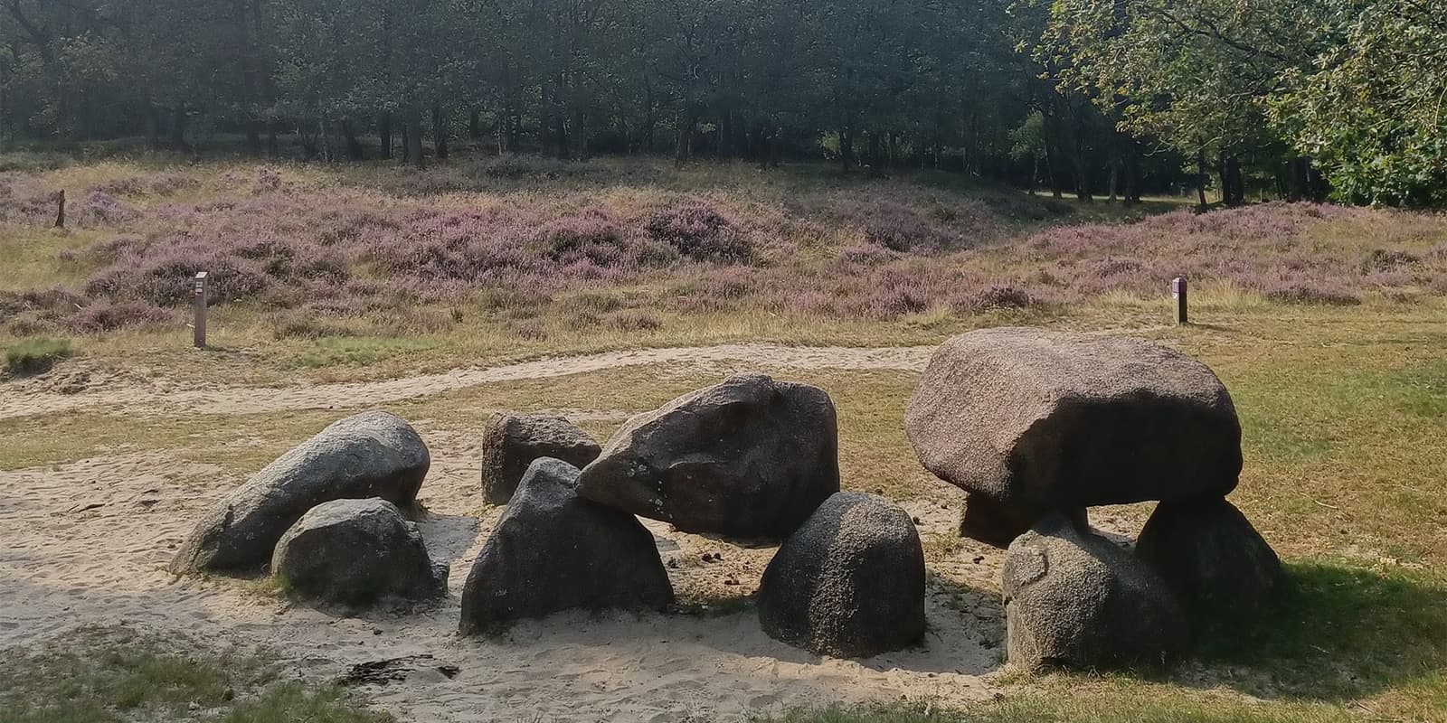
In Pieterburen, you can begin with a 10-kilometer circular prologue hike to the Waddenzee, if you like. Once back, the trail starts and goes via the most beautiful village of the Netherlands towards Groningen. This vibrant city really is worth a visit! The trail then leads further into the tranquil landscapes of the first National Park ‘De Drentsche Aa,’ with a lot of prehistoric hunebeds (stone burial monuments) along the way. Very quickly you will find yourself in the middle of the heather, and if lucky, the purple flowers will be in bloom and smell like honey.
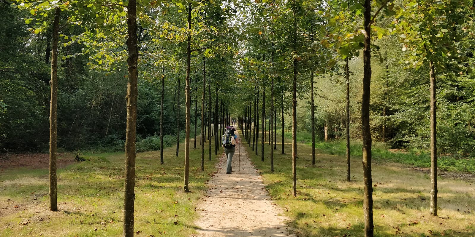
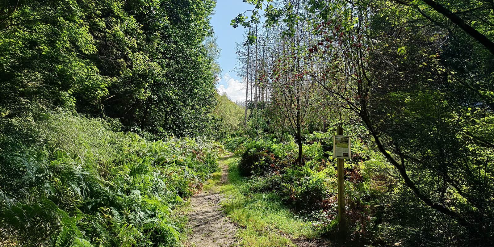
As you head further south, you’ll walk through the forest, which is – in the North of the Netherlands – man-made, and consequently the paths are straight ahead and long. No need to worry, the National Park ‘Sallandse Heuvelrug’ soon will offer variety and the first real elevation meters when you climb the Archemerberg hill. What a view!
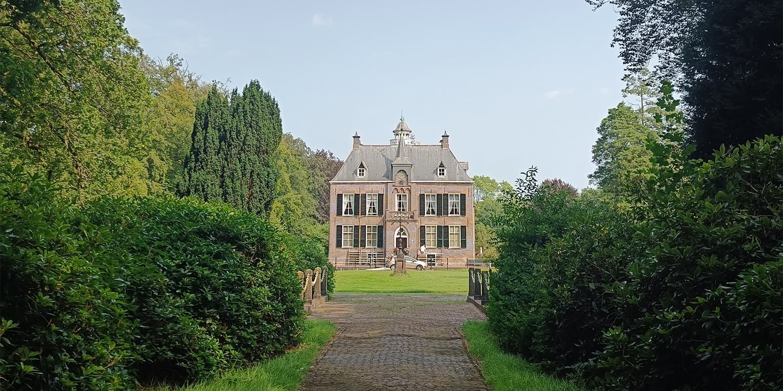
Soon you will find yourself surrounded by beautiful castles instead of hunebeds, which means that you’ve arrived in the famous region of Achterhoek. This is a very quiet region in the Netherlands, a peaceful contrast to the big city life in the west of the country.
Enjoy this lovely countryside before arriving in the ‘land of the big rivers.’ In the region of Nijmegen, the elevation gains become more pronounced, thanks to the river valleys. First, you will have to cross the Rhine with a small ferryboat and later also the river Maas. After this, you will find yourself already in the province of Limburg.
The last part of the trail leads you to the national park ‘Maasduinen’ and even into Germany as the trail is very close to the border. Eventually arriving in the big and vibrant city of Maastricht, where you might be overwhelmed when the red-and-white markers point your way through the most touristic little streets of this city.
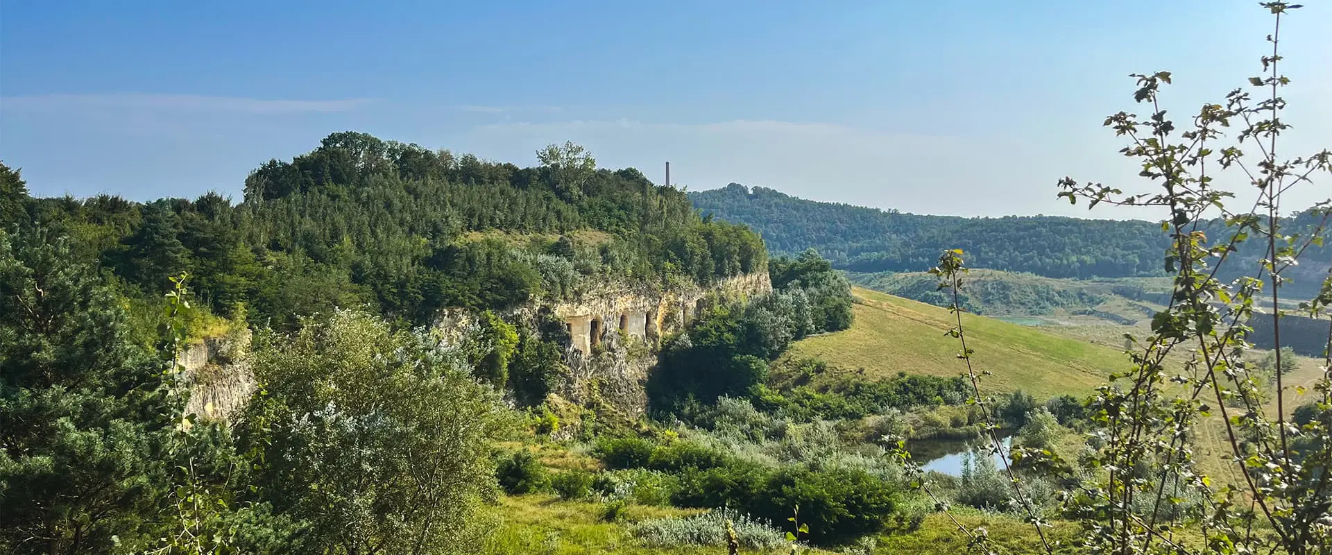
Fortunately, you will find back your peace very quickly when you arrive at Fort Sint-Pieter and finish the trail on the Sint Pietersberg hill. The amazing scenery of the quarry will make you want to continue immediately on the famous GR5 trail that can be started from this point.
Stages
26-stage itinerary
Pieterburen – Winsum, 12 km | 8 mi
Winsum – Groningen, 22 km | 14 mi
Groningen – Zuidlaren, 21 km | 13 mi
Zuidlaren – Rolde, 17 km | 11 mi
Rolde – Schoonloo, 18 km | 11 mi
Schoonloo – Sleen, 23 km | 14 mi
Sleen – Coevorden, 21 km | 13 mi
Coevorden – Hardenberg, 19 km | 12 mi
Hardenberg – Ommen, 21 km | 13 mi
Ommen – Hellendoorn, 21 km | 13 mi
Hellendoorn – Holten, 15 km | 9 mi
Holten – Laren, 15 km | 9 mi
Laren – Vorden, 14 km | 9 mi
Vorden – Zelhem, 17 km | 11 mi
Zelhem – Braamt, 17 km | 11 mi
Braamt – Millingen a/d Rijn, 25 km | 16 mi
Millingen a/d Rijn – Groesbeek, 20 km | 12 mi
Groesbeek – Gennep, 15 km | 9 mi
Gennep – Vierlingsbeek, 19 km | 12 mi
Vierlingsbeek – Swolgen, 24 km | 15 mi
Swolgen – Venlo, 21 km | 13 mi
Venlo – Swalmen, 23 km | 14 mi
Swalmen – Montfort, 22 km | 14 mi
Montfort – Sittard, 24 km | 15 mi
Sittard – Strabeek, 22 km | 14 mi
Strabeek – Sint Pietersberg, 14 km | 9 mi
Photo gallery
Accommodations
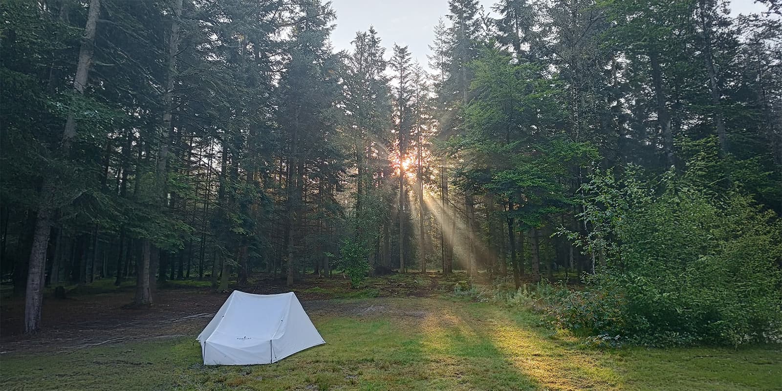
Along the Pieterpad, you’ll pass through numerous charming villages, where you can find a variety of accommodations, from campsites to cozy bed and breakfasts. This allows you to hike the trail in your preferred style – either as a camping trail or with the comfort of staying in more luxurious lodgings. If you opt for camping, there is no need to book in advance, as campsites generally have space for hikers with a small trekking tent staying just one or two nights. For the bed and breakfasts, it is recommended to check availability and make reservations in advance to avoid arriving at fully booked locations.
Best time of the year
It is possible to hike the Pieterpad all year round, but the most comfortable weather conditions are typically from spring to early autumn, between May and October. This is an especially good window if you’re camping along the way and you don’t like cold nights, which are more common outside this period. Because rainy days can always occur in the Netherlands, a good raincoat can make all the difference. I walked the Pieterpad in August and experienced mostly dry days, though there were a few severe thunderstorms at night. Also keep in mind that during the summer months, this trail can be quite busy, as it’s a popular destination for hikers.
Safety & Gear
High-quality boots and socks are essential to prevent blisters and ensure comfort on long stretches. Both high and low hiking boots are possible to wear on the Pieterpad, the choice should be based on your preference. Many hikers, myself included, have come to appreciate hikers’ wool; this natural product of sheep has a healing effect on the skin and prevents blisters. When walking in the forest, the mosquitoes can be particularly aggressive, so bringing mosquito spray or DEET is also highly recommended.
A raincoat is a must, as the weather in the Netherlands can be unpredictable, with rain possible year-round. Although the trail is mostly flat, I used hiking poles to have more balance and rhythm. Especially when carrying a fully equipped backpack, this is a nice extra for support. Many other Pieterpad hikers recommended this as well.
Make sure to carry a GPS device or at least have the GPX file of the trail downloaded. However, a lot of hikers on the Pieterpad like to go back to basics and navigate only with the guidebooks.
Good to know
The Pieterpad is a popular trail, and not a day will go by on the trail where you don’t meet other ‘Pieterpatters.’ However, there is plenty of accommodation available for everyone along the way. Additionally, if you don’t want to carry your bag, a luggage service is also available as part of a package offered by an official partner of the Pieterpad.
There are two Pieterpad guidebooks available. Part 1 describes the northern half of the trail, while Part 2 focuses on the southern part. The trail is described in both directions in these guides. Unfortunately, the guidebooks for the Pieterpad are only available in Dutch, currently no translation in English exists.
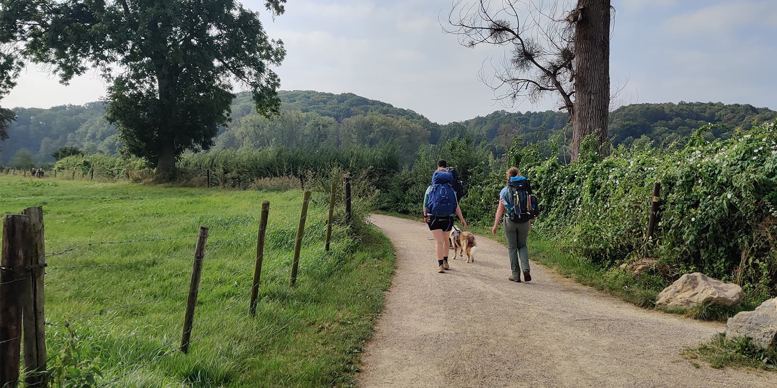
Finally, the trail’s easy difficulty level makes it accessible for dogs, so many hikers bring their furry friends along for the journey.
Useful links
Terms of Use: important to all visitors on this website. We strive to publish high quality content and information on this website. However it’s always possible that we’re missing out on some crucial information. In spite of the fact that this route, associated GPS track (GPX and maps) were prepared under diligent research by the specified contributor and/or contributors, the accuracy of such and judgement of the author is not guaranteed. Therefore, hiking-trails.com and contributors are in no way liable for personal injury, damage to personal property, or any other such situation that might happen to individuals hiking or following this route. Should you choose to hike this trail, this is always at your own risk. Check out our guidelines for safety hiking and Leave No Trace principles at the hiking 101 page.
Download GPX


