About the Pembrokeshire Coast Path

country
Wales
length
300 km(186 mi)
Type of trail
Long-distance
difficulty

Difficulty is highly personal. Be aware of the weather conditions as bad weather turns easier trails in difficult trails especially in the mountains.

Moderate
accommodation

Lodging means a mix of hotels, hostels or AirBnB’s.

Camping, Lodging, Wild camping
terrain
Hills, Coastal
remoteness
Some of the time
Show more

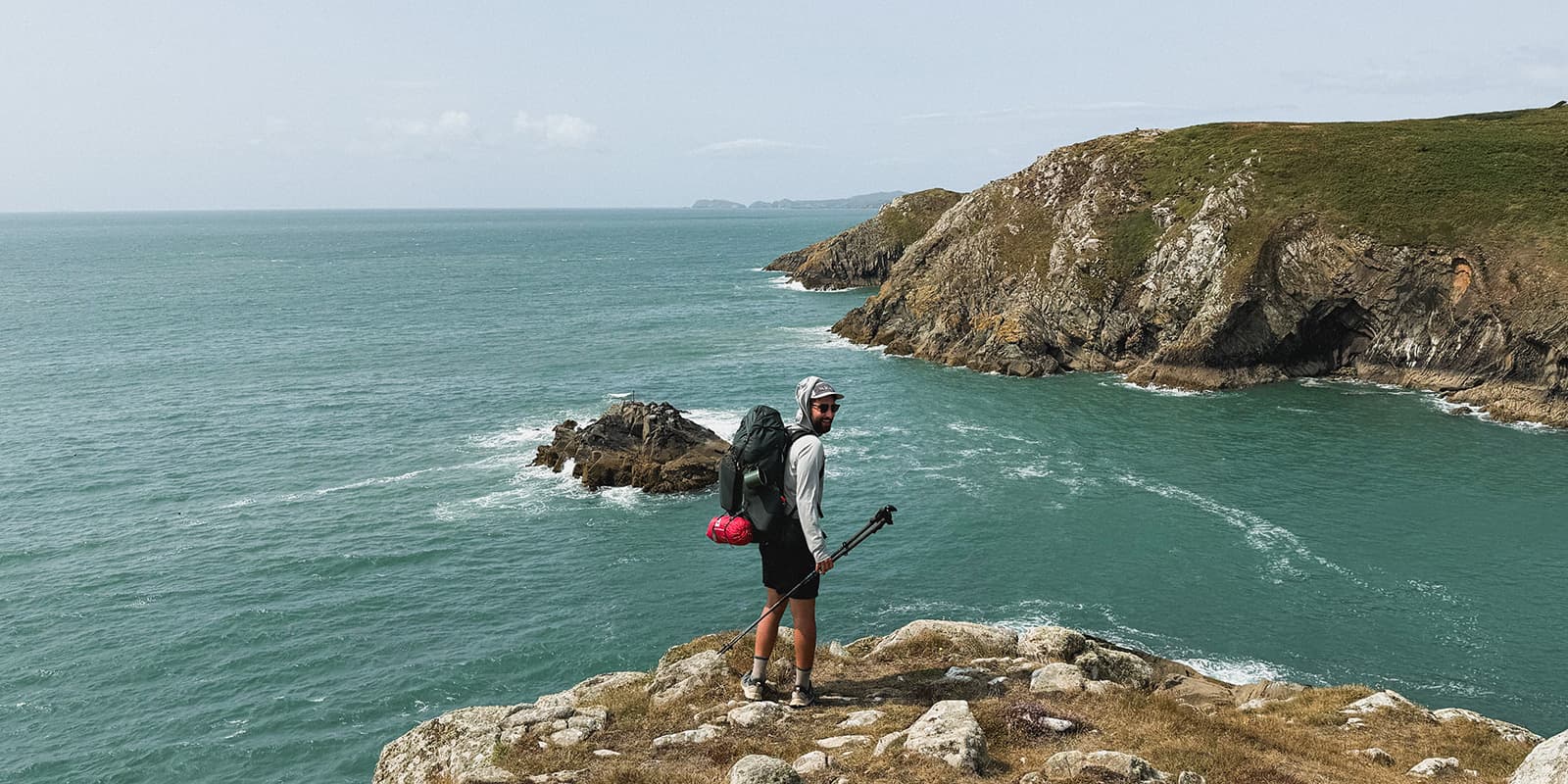
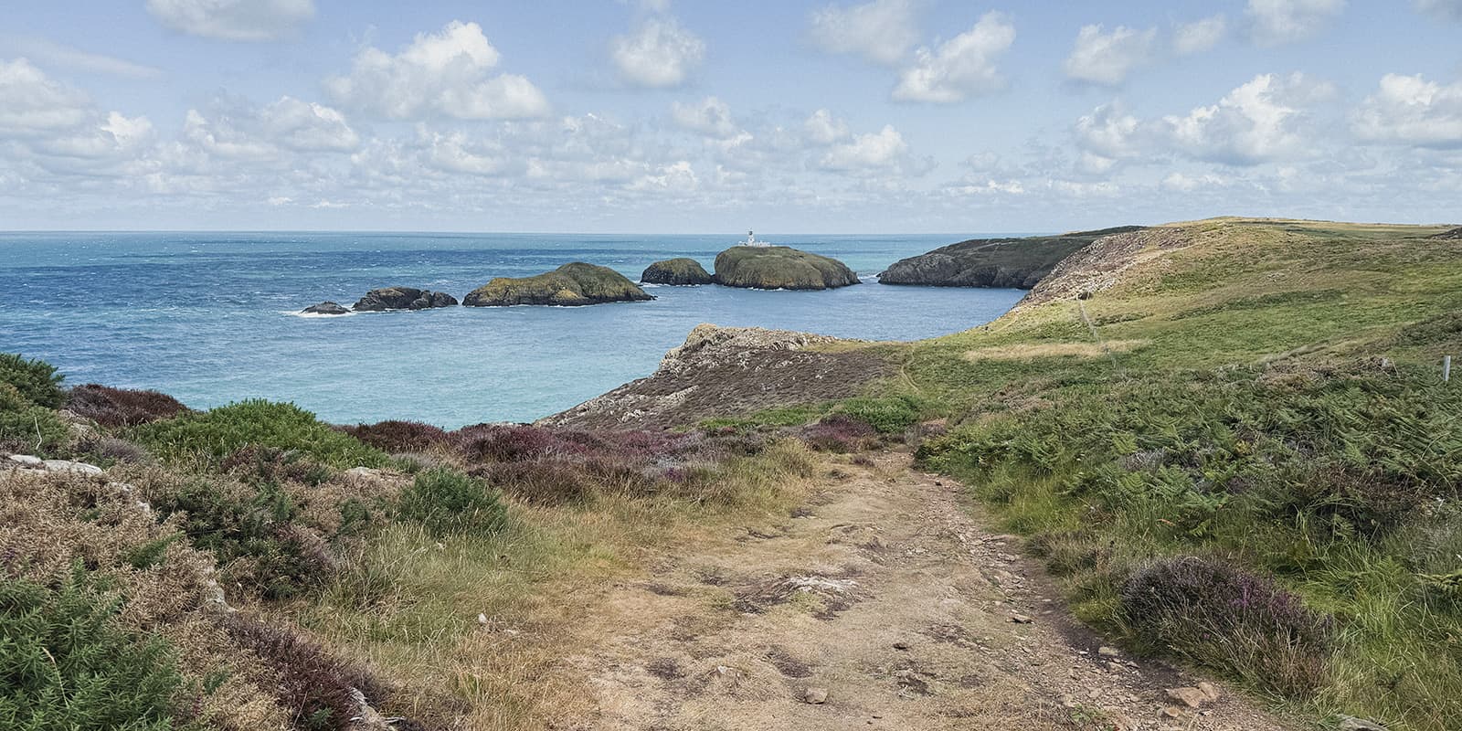
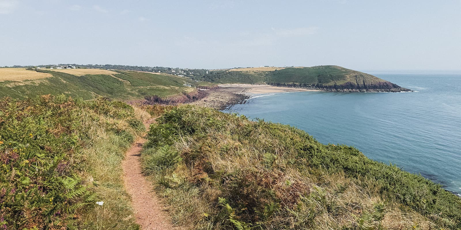
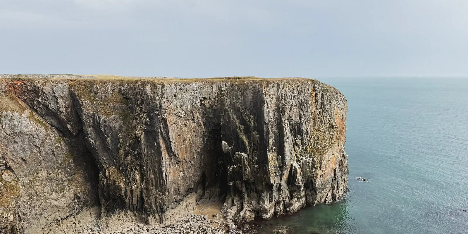
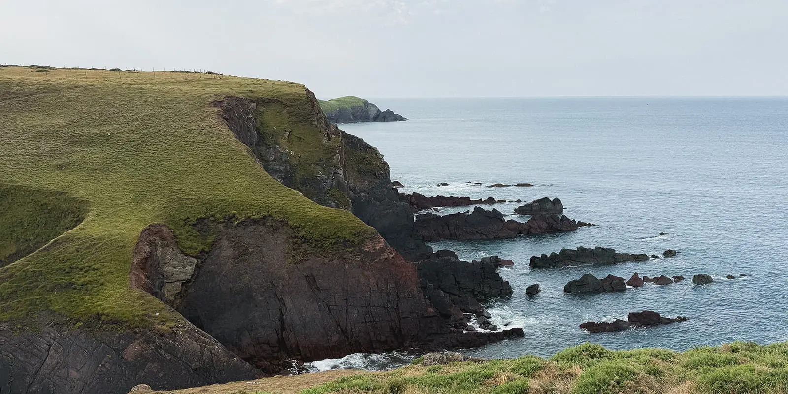
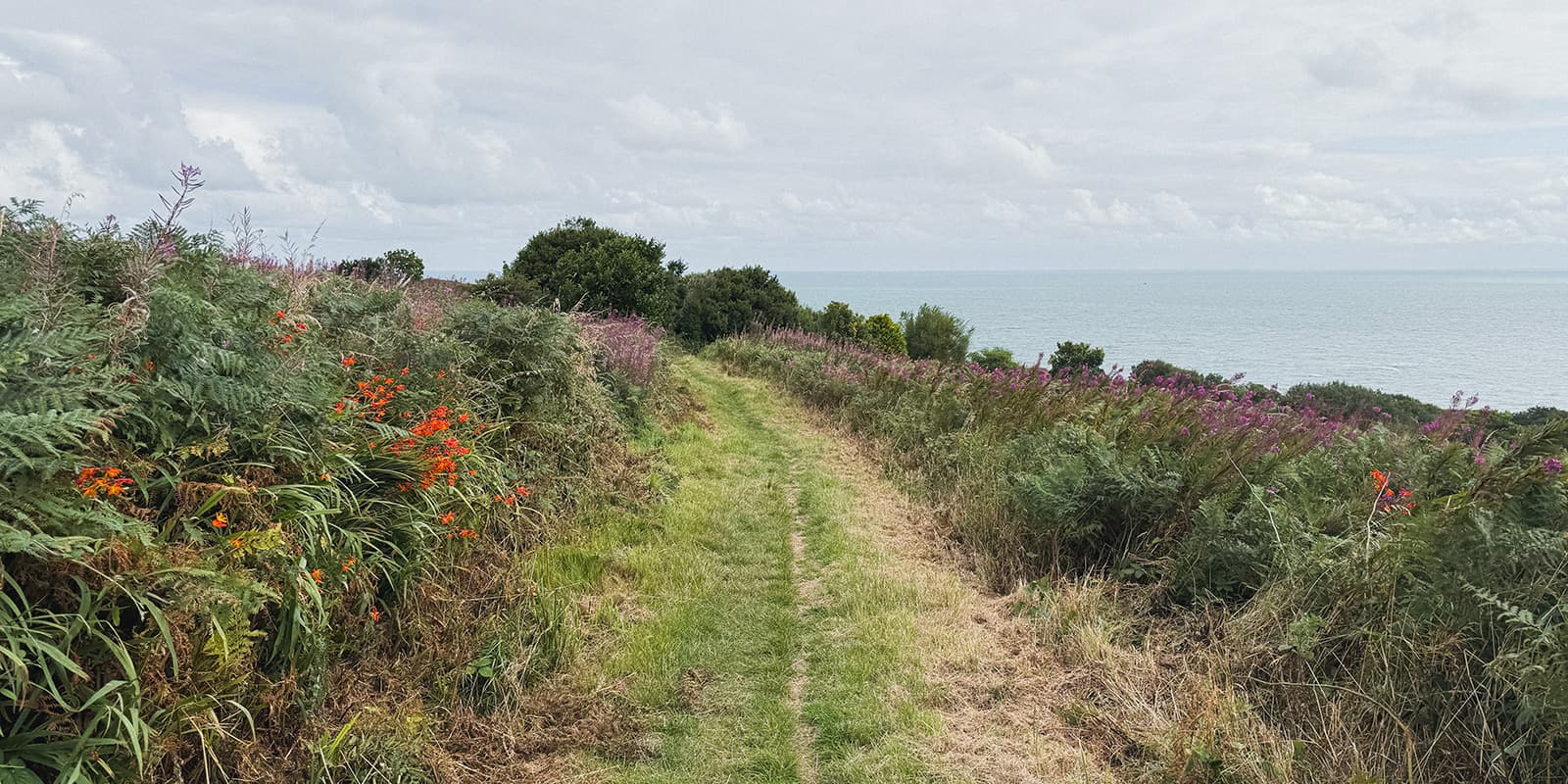
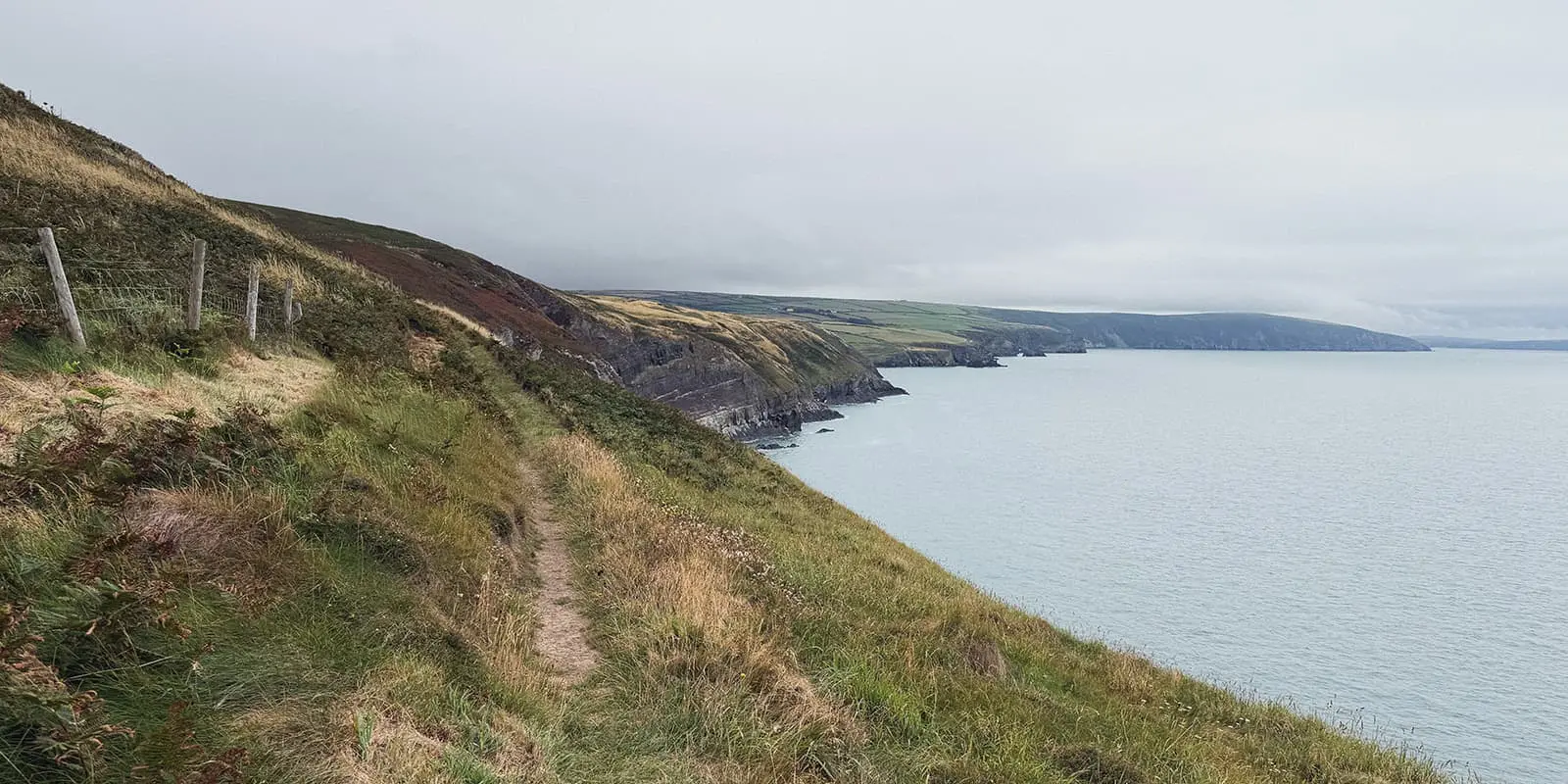
The Pembrokeshire Coast Path is a 15-day hike along one of the most beautiful coastlines in the UK. You follow the cliffs, beaches, and headlands with constant sea views. Over 15 days, the coast changes so much throughout each stage that it never becomes monotonous.

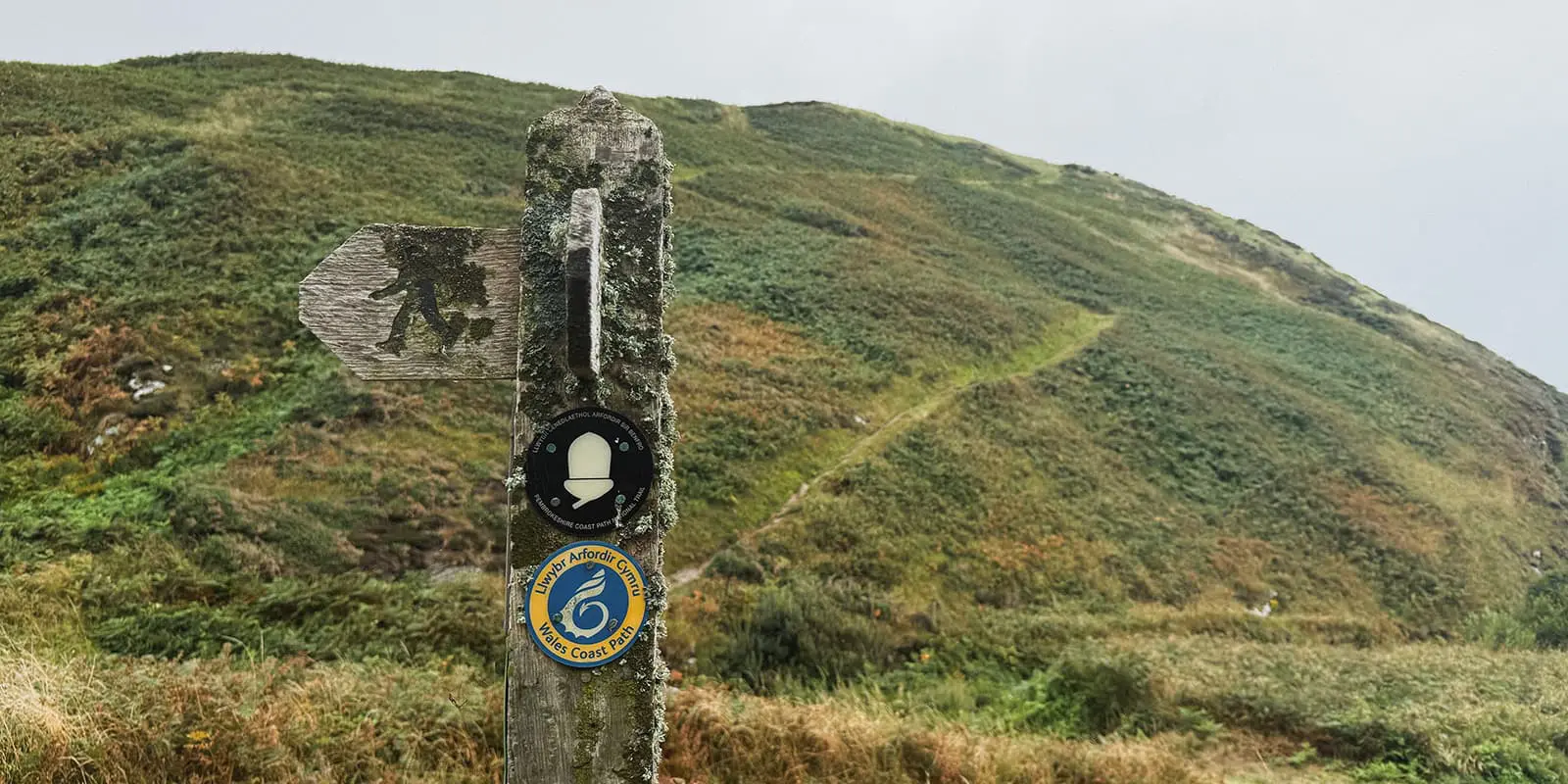
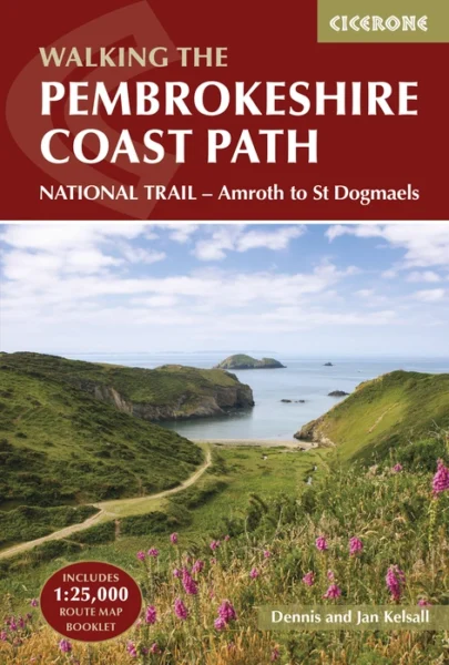
The trail goes along the full length of the Pembrokeshire coast in the National Park, from St Dogmaels in the north to Amroth in the south. With 300 km of (sometimes surprising) hills as you climb up the cliffs and back down to the water, we found it to be a pleasant challenge. This hike is part of the larger Wales Coast Path, which stretches along the entire Welsh coast (1400km). It is also one of the UK’s National Trails, a collection of long-distance through the best landscapes in England and Wales.

women in blue smiling at camera
Editor

Katie Mitchell

After a whirlwind 10 years on the road (and trail!), Katie has hiked the Camino Frances, the Peaks of the Balkans, the Fisherman’s Trail, the Cumbria Way, the Pembrokeshire Way, and more in Europe and the United States. She is an avid trail runner and you can find her either on the trail or in a cafe in a new city, sampling all of their gluten-free treats. You can follow her adventures on Instagram.

View profile

The Trail

The Pembrokeshire Coast Path is an iconic trail through the most beautiful coastline in the UK. Beginning at the official start point in St. Dogmaels, you’ll hike toward Newport during the first stage, slowly making your way into the trees and away from the towns. The trail in the North is very dramatic with dark and plunging cliffs, rough waves pushing up against them, and blustery plateaus. The path is exposed in the first days, and this is where the most difficult climbs are. The northern sections are also much more remote. There will be campsites, but usually just one or two for each stage, and very few food markets. You’ll need to carry more and will be able to enjoy a rare kind of quiet on these stages.

Around the time you reach St. David’s, the first large town after a while, the trail will become more popular for beach-going tourists. It’s still not overwhelmingly busy, as there isn’t much room for large crowds. However, you will see an increase in day-hikers, campervans, and shops as you go. Here, the views become more tropical, with light blue waters, sandstone cliffs, and dolphins and seals playing near the coves. When you descend to different beaches, there will often be ice cream and coffee trucks waiting for you, plus lots of opportunities to swim. This gives it a really fun, vacation feel. The trail also evens out in this middle section, with fewer hills/climbs.

Next, you’ll hike toward Milford Haven. This is where it gets a bit tricky; the trail becomes less pleasant, and you have the option to skip ahead. The path is very industrial from Milford Haven to Angle (about 30km), with oil rigs and refineries as your main views. It is possible to skip ahead using the bus, and it is very common to do so. We skipped to Hundleton and wished we’d taken the bus a few stops further to Angle, as the trail stayed on the road for the majority of the time between the two towns.

However, once you reach Angle, the trail reverts back to its beautiful self and eases you onward to your final days. From around Angle, the trail begins to reintroduce the hills that were so common at the beginning of the trail. While less steep, they’ll still mark your days and give you a good challenge to overcome.

Finally, you will reach Amroth, a sweet village along the beach, where you can celebrate your victory. The official endpoint plaque is at the very end of the town, across the street from the New Inn. There aren’t any campsites at Amroth, so you can either stay at an inn or B&B, detour to camp in one of the nearby towns, or take public transportation to your next destination.

Stages

The trail can be hiked in either direction, with the official start being in the North at St. Dogmaels. However, most folks hike north, starting in Amroth, as this has a more gradual increase in difficulty, and the wind is usually at your back.

15-stage itinerary of the Pembrokeshire Coast Path

Stage 1:

St Dogmaels – Newport, 25 km | 15.5 mi

Stage 2:

Newport – Fishguard, 19 km | 11.8 mi

Stage 3:

Fishguard – Pwll Deri, 15 km | 9.3 mi

Stage 4:

Pwll Deri – Porthgain, 19 km | 11.8 mi

Stage 5:

Porthgain – Whitesands, 10 km | 6.2 mi

Stage 6:

Whitesands – Solva, 21 km | 13 mi

Stage 7:

Solva – Broad Haven, 18 km | 11.2 mi

Stage 8:

Broad Haven – Martin’s Haven, 18 km | 11.2 mi

Stage 9:

Martin’s Haven – Dale, 10 km | 6.2 mi

Stage 10:

Dale – Neyland, 27 km | 16.8 mi

Stage 11:

Neyland – Angle, 26 km | 16.2 mi

Stage 12:

Angle – Freshwater West, 16 km | 10 mi

Stage 13:

Freshwater West – Broad Haven South, 16 km | 10 mi

Stage 14:

Broad Haven South – Skrinkle Haven, 18 km | 11.2 mi

Stage 15:

Skrinkle Haven – Amroth, 23 km | 14.3 mi

Accommodations

For the most part, you will camp along the Pembrokeshire Coast Path. There will be a few towns with B&Bs and lodging, but otherwise, you will sleep in the many, many campsites on the route.

Note that for some of the campsites, you will need to become a member of the Greener Camping Club. It’s 12£ to join for the year (only one person in your party will need to join), and then you can access a wider range of campsites along the path. Usually, they’re smaller and cleaner, which is a reason alone to choose these sites! You’ll be able to sign up when you arrive at a participating campsite, so no need to sign up beforehand if you’re not sure if you’ll take advantage of them yet.

One thing to be aware of is that many of the campsites are situated on hills. This means that you may be sleeping on a tilt some nights, so prepare yourself. We found the campsites to be very calm and quiet for the most part, even the ones filled with caravans and campers.

Best time of the year

The best time of the year to hike the Pembrokeshire Coast Path is between June and August. While it doesn’t get too hot in the region, with a normal high of 25°C, it does get very rainy and windy. The trail is characterized by its western and southwestern winds, which can be pleasant on a hot day and incredibly unpleasant on a rainy one. It’s best to base your trip on the forecast for the year when deciding which summer month to hike.

Safety & Gear

To be safe on the Pembrokeshire Coast Path, you should prepare for long days without much water. There will be options to refill at the campsites each morning, but there is not much freshwater along the trail. There are a few streams that show up on the map, but these are usually very low and extremely polluted or difficult to reach (i.e., climbing down a cliff to access them). On the second half of the trail, there will likely be more coffee or ice cream trucks you’ll pass where you can buy water, but it’s best not to rely on these.

Additionally, there is little cover on the trail, so it’s good to have weather-resistant clothing and gear you trust for windy or rainy days, and enough sun protection for clear days.

Finally, make sure you pack enough food. Especially in the northern stages, the markets and restaurants are rare, so you’ll need to look ahead on your itinerary to pack enough for the days to come.

Difficulty

The Pembrokeshire Coast Path is moderately difficult because of continuous steep hill climbs throughout the trail. While the elevation changes are small, and the highest point is only 160M, there are many climbs throughout the day! You’ll hike up and down the cliffs daily, which can become tiring if you’re not expecting it. While the climbs aren’t strenuous, they may surprise you for a coastal walk.

Good to know

Most people skip the sections between Milford Haven and Angle because they’re very industrial with oil rigs/refineries. This is easy to do via bus from Milford Haven. Although this is an important piece of Pembroke history, it is in strong contrast to the experience of the rest of the trail.

The trail is also a part of the longer Wales Coast Path, which runs 1400 km along the entire Welsh coast. This means that if you want to extend when you reach either St. Dogmaels or Amroth, this is a possibility.

route
point-to-point
highest point
160m (525 ft)

Guidebooks

Pembrokeshire Coast Path

View guidebook

Want to submit a trail or make this page more complete?

Always read the disclaimer

Terms of Use: important to all visitors on this website. We strive to publish high quality content and information on this website. However it’s always possible that we’re missing out on some crucial information. In spite of the fact that this route, associated GPS track (GPX and maps) were prepared under diligent research by the specified contributor and/or contributors, the accuracy of such and judgement of the author is not guaranteed. Therefore, hiking-trails.com and contributors are in no way liable for personal injury, damage to personal property, or any other such situation that might happen to individuals hiking or following this route. Should you choose to hike this trail, this is always at your own risk. Check out our guidelines for safety hiking and Leave No Trace principles at the hiking 101 page.

Download GPX

Join the community!

Login or create a FREE account 😊

With an account you can:

Download GPX files

Pin trails to your wishlist

Mark trails as hiked by you

Rate hiking trails

Comment on trails, blogs and gear reviews

Happy trails!
Login

Don't have an account yet? Register here