About the Pekoe Trail

country
Sri Lanka
length
307 km(191 mi)
Type of trail
Thru-hike, Long-distance
difficulty

Difficulty is highly personal. Be aware of the weather conditions as bad weather turns easier trails in difficult trails especially in the mountains.

Moderate
accommodation

Lodging means a mix of hotels, hostels or AirBnB’s.

Wild camping, Lodging
Elevation gain
12280 m(40289 ft)
terrain
Highlands, Forest
remoteness
Some of the time
Show more

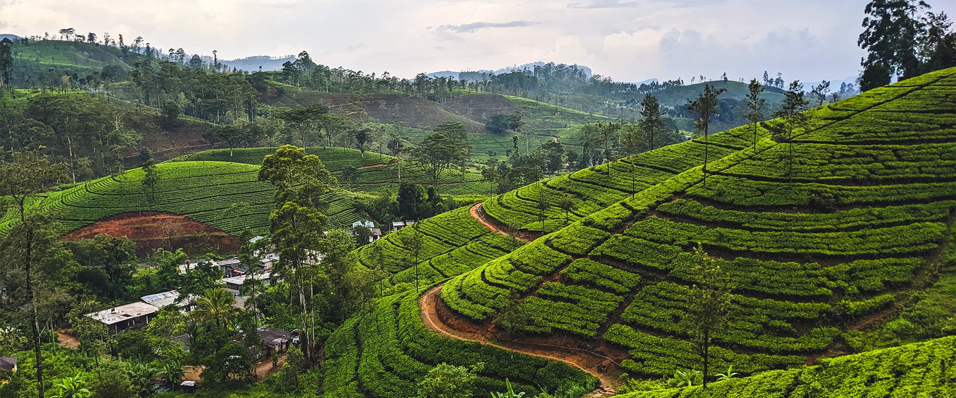
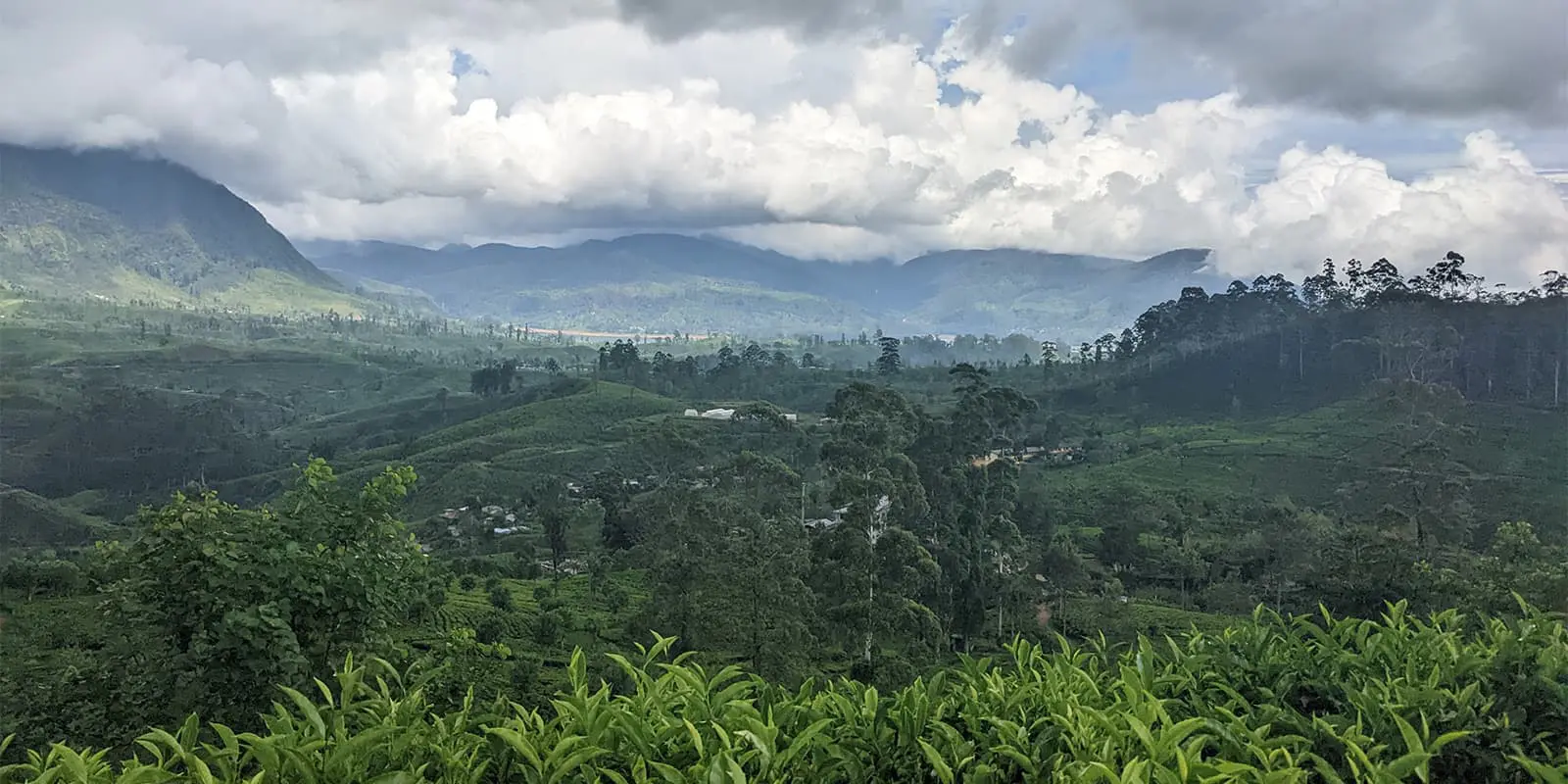
The Pekoe Trail is a brand new long-distance trail, which only opened fully in 2024. It spans Sri Lanka’s Central Highlands. The 307km trail takes the hiker through the country’s tea plantations, which were first established by British colonizers in the 19th century. You will pass friendly Tamil tea workers, who will give you a welcoming wave as they work.

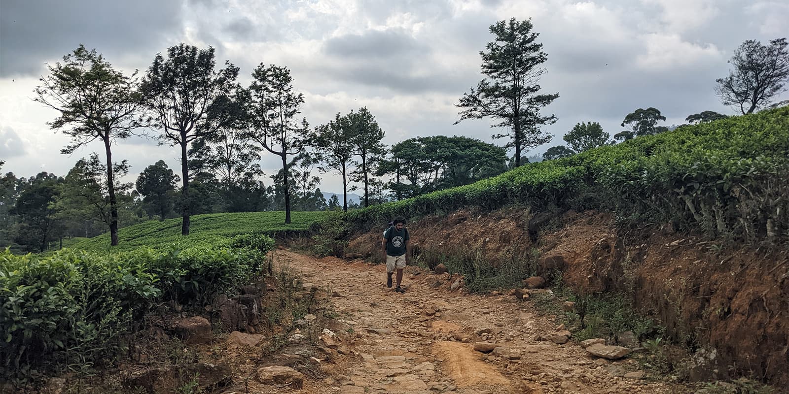
Much of the trail is on hard surfaces of some kind – usually on old British-built stone tracks winding through the tea plantations. For experienced hikers, this could be disappointing, not to mention painful for the feet. For others who need a more accessible trail, or who are less experienced, the hard surfaces might be perfect.

profile picture Lisa Butler
Author

Lisa Butler

Lisa Butler has been obsessively hiking long-distance trails for more than ten years. She’s covered more than 7,000km all over the world. She prefers to hike solo to give her a deeper connection to nature and encourages as many women as possible to hike and wild camp solo too. You can follow Lisa on Instagram @thruhikes.

View profile

The Trail

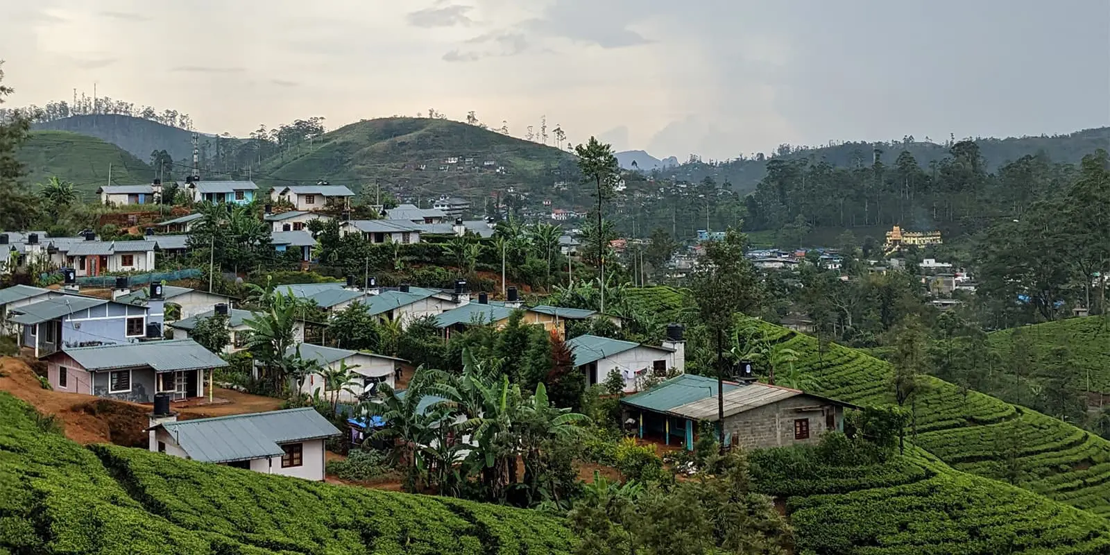
You will pass through numerous tiny tea-worker villages, as well as large, popular tourist towns, such as Kandy, Ella, and Nuwara Eliya. While most of the sections are through plantations, you’ll also hike through eucalyptus and pine forests. The trail also crosses  Horton Plains National Park, famous for its leopards – although you’re unlikely to see them!

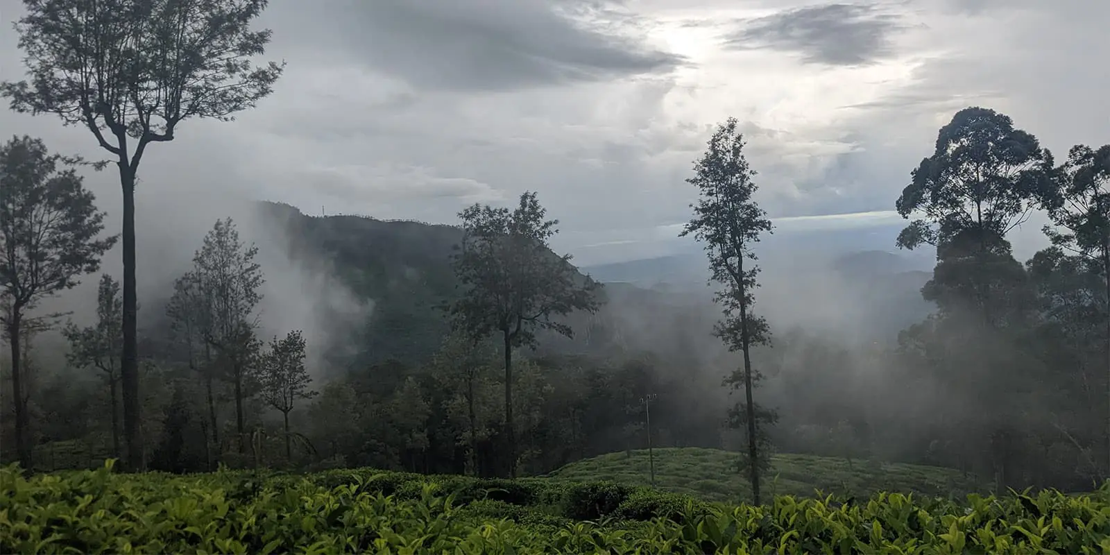
The highlands of Sri Lanka are very humid, with high rainfall. Because of this, hikers should pack accordingly – wet weather gear is essential!

The information you need about the trail is comprehensive. The Pekoe Trail has its own website and the trail creators have provided the gpx and trail notes in their entirety on both Wikiloc and Alltrails.

However, there could be better information about the shops on the route – but this can be solved by studying maps. Additionally, there is currently inadequate information from the official trail creators about accommodation for each section. Because this is a brand new trail, villages on the route haven’t opened many guest houses, and wild camping is forbidden in most sections. This can make planning a thru-hike of this trail a complex task of working out where exactly you will sleep each night, and sometimes involves coming off the trail completely (read more in the Accommodation section below). As the trail becomes more popular, it is inevitable that more guesthouses will pop up in the future, making trip planning much easier for hikers in the coming months and years. But as of summer 2024, this trail is much better walked as a section hike, rather than a thru-hike.

The website breaks the trail down into 22 sections, many of which are short. So with a bit of planning around accommodation, you could double up on sections if you so wish, and if you don’t mind risking walking in afternoon rain.

Hikers can walk the trail in any direction – all sections are now waymarked. The best way to get to the trailhead is by taxi at either end, either from Kandy to the start of stage 1, or from Nuwara Eliya to the start of stage 22.

There are currently no charges or permits needed for hiking the Pekoe Trail, but the official website states:

“In the future there is likely to be a requirement for a Pekoe Trail pass to ensure the trail is properly maintained/signposted as a mechanism to support the communities it passes through. Stay tuned to official Pekoe Trail channels for updates.”

Bear in mind that there can be entry fees for some sections which aren’t mentioned in the official trail notes. For example, there is a small fee for hiking through the Loolkandura Estate (James Taylor’s Seat), which you pay upon exit of the section. There is also an entry fee for Ella Rock, which isn’t currently mentioned in the trail notes. The biggest expense of the trail will be hiking through the Horton Plains National Park, which as of 2024 is around US$50 per person.

Stages

You can view all 22 sections on the Pekoe Trail website, Wikiloc, and Alltrails.

22-stage itinerary

Stage 1:

Hanthana – Galaha, 12.8 km | 8 mi

Stage 2:

Galaha – Loolkandura, 14.7 km | 9.1 mi

Stage 3:

Loolkandura – Tawalantenne, 18.1 km | 11.2 mi

Stage 4:

Tawalantenne – Pundaluoya, 14 km | 8.7 mi

Stage 5:

Pundaluoya – Watagoda, 14 km | 8.7 mi

Stage 6:

Watagoda – Kotagala, 15.3 km | 9.5 mi

Stage 7:

Kotagala – Norwood, 16.3 km | 10.1 mi

Stage 8:

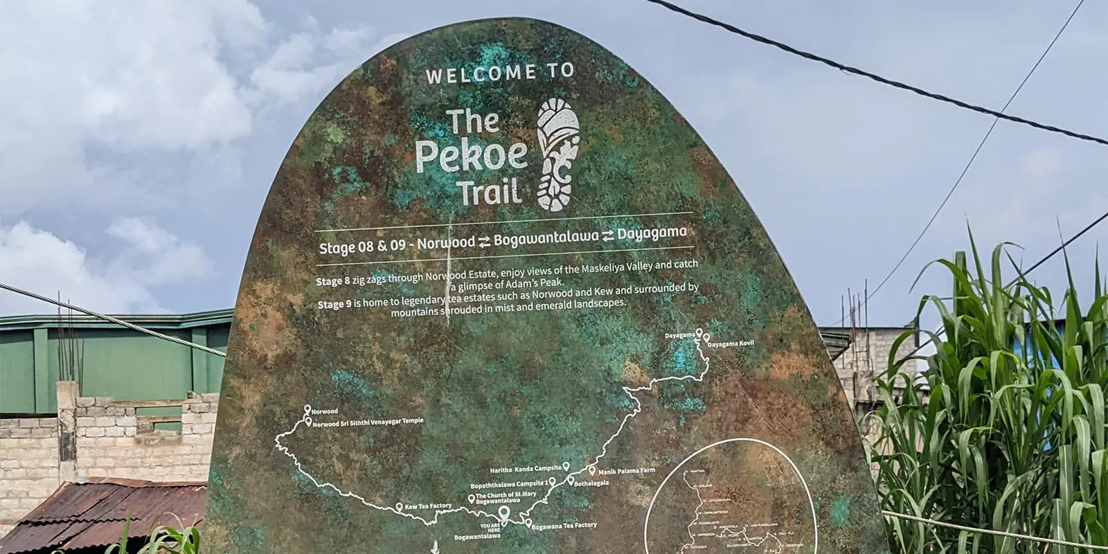
Norwood – Bogawantalawa, 15.8 km | 9.8 mi

Stage 9:

Bogawantalawa – Dayagama, 16.5 km | 10.3 mi

Stage 10:

Dayagama – Horton Plains, 14.9 km | 9.3 mi

Stage 11:

Horton Plains – Udaweriya, 13.1 km | 8.1 mi

Stage 12:

Udaweriya – Haputale, 14.8 km | 9.2 mi

Stage 13:

Haputale – St Catherine, 13.5 km | 8.4 mi

Stage 14:

St Catherine – Makulella, 9.4 km | 5.8 mi

Stage 15:

Makulella – Ella, 9.5 km | 5.9 mi

Stage 16:

Ella – Demodara, 8.7 km | 5.4 mi

Stage 17:

Demodara – Hali Ela, 13 km | 8 mi

Stage 18:

Hali Ela – Ettampitiya, 14 km | 8.7 mi

Stage 19:

Ettampitiya – Lunuwatte, 18.9 km | 11.7 mi

Stage 20:

Lunuwatte – Uda Pussellawa, 12.6 km | 7.8 mi

Stage 21:

Uda Pussellawa – Kandapola, 16.7 km | 10.4 mi

Stage 22:

Kandapola – Pedro Estate, 10.8 km | 6.7 mi

Accommodations

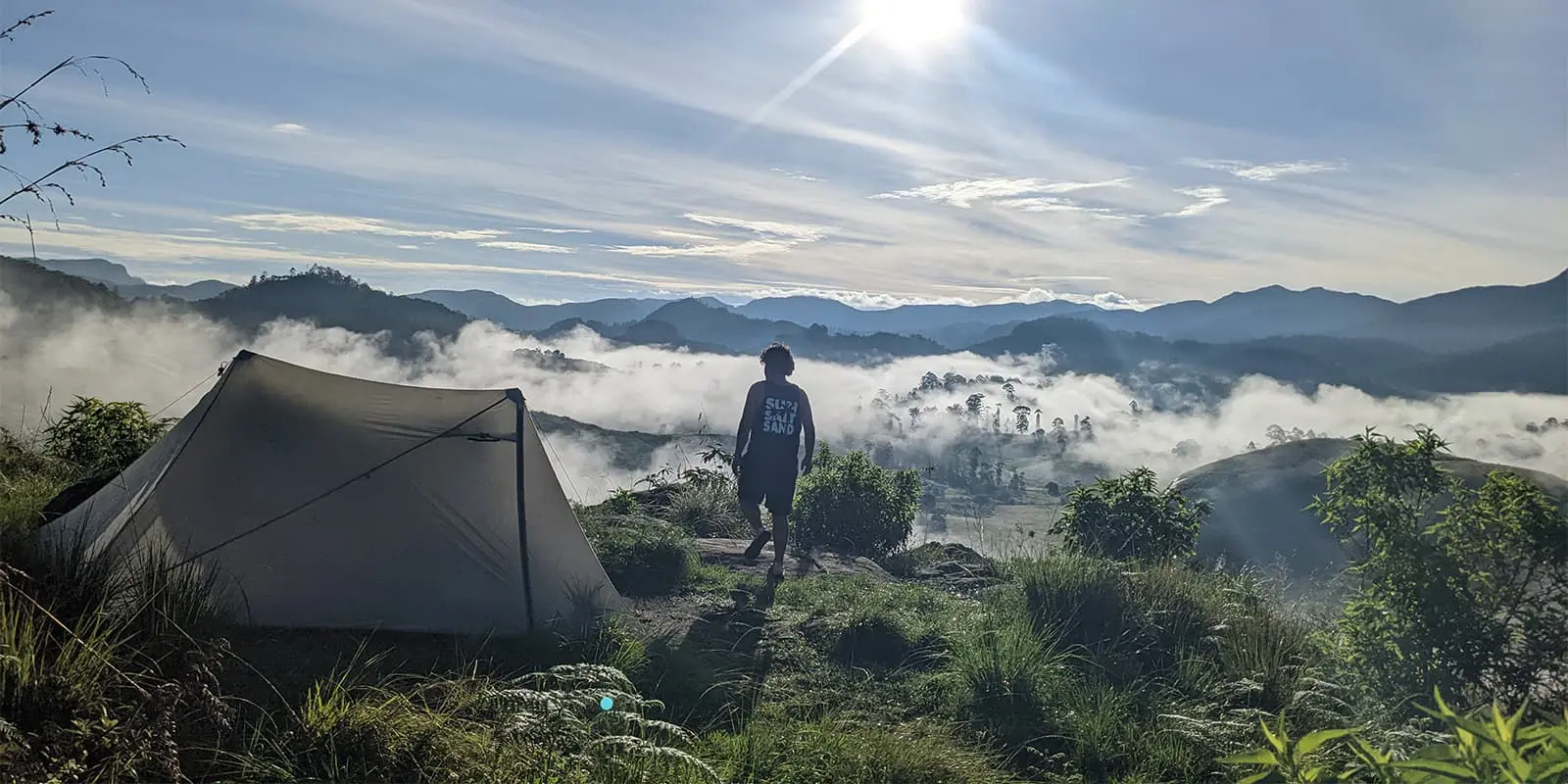
As of 2024, wild camping is not recommended by the trail organizers for the majority of the trail. So if you’re a hiker who enjoys sleeping in the wilderness, you’ll be sadly disappointed. You can, of course, stealth camp at your own discretion – but the organizers will state that you should seek landowner permission before sleeping under the stars. Bear in mind that most of the time you will be hiking in tea plantations, and the only option to stealth camp will be in workers’ shelters, or weighing stations – both of which have a roof and no walls – long after everyone has gone home. There is, however, an amazing designated wild camping spot at Haritha Kanda on section 9 of the trail.

The officially accepted way is to spend the night in guesthouses, some of which will also allow you to set up a tent. When the trail first opened, finding guesthouses directly on the route was very difficult in some sections, but this will no doubt change fast as locals open businesses.

The Pekoe Trail’s main website and trail notes are severely lacking when it comes to accommodation information. Many of the hotels mentioned on the website’s accommodation list are very expensive, and not the kind of accommodation that the usual thru-hiker will be expecting!

You will need to rely on the Pekoe Trail Facebook page, where hikers have listed all of the accommodation options for each section, and where more and more locals will be advertising their newly-opened stays as the months pass. This Facebook page is essential for successfully planning a thru-hike.

Of course, staying in guesthouses means that this won’t be the cheapest hike you’ll do – so you will need to factor this into planning.

Best time of the year

The Pekoe Trail can be walked year-round. Because of its altitude, temperatures can be considerably cooler than the hot coastal tourist spots. You may want to avoid May-June and September-December because of high rainfall as the monsoon hits. Dampness and rain mean one thing: leeches. And a lot of them!

Safety & Gear

Always check the weather conditions, and bear in mind that rain can roll in in the afternoons. During the monsoon season, you are likely to get soaked later in the day. The altitude can make it surprisingly chilly in the rainy months. Forest fires can be a problem in the hottest months – in 2024, the Ella Rock section of the trail was briefly closed as a fire engulfed the forest. The Pekoe Trail’s social media pages will update hikers if there are closures to sections.

Leeches will, no doubt, be every hiker’s biggest worry. While hiking through the damp forest, don’t be surprised if you find ten – or even twenty – leeches on your feet and legs! Taking them off is fairly easy – just slide your fingernail under the base of the leech that is sucking you and it should unstick.

Regarding gear, you will need to decide whether it is worth carrying the weight of a tent, mat, and sleeping bag when many sections ban camping. Study which guesthouses allow you to camp, and then weigh up whether it would be better to stay in a bed.

Much of the terrain is on hard rock and even on paved roads. Therefore, you might find that hiking boots are far too painful, and might want to choose much softer trail running shoes.

Good to know

This trail is a wonderful way to see Tamil culture in the tea plantations, learn about the British colonization in Sri Lanka, and spend money in areas that don’t usually see tourists.

You can either buy mineral water at shops on the trail or bring your filter. The Pekoe Trail website states:

“The Pekoe Tail is working on establishing refilling points with clean water along the trail.”

You might find that days and days of walking through tea plantations may become monotonous, and therefore you might decide that section-hiking the trail is a better option. Picking and choosing your sections will also mean that finding accommodation is easier than if you thru-hike the trail in its entirety.

This trail can not be considered remote, as most of the hike is through cultivated land. Every day you’ll see tea workers, and you’ll pass through highland towns that see no tourists. As this is still a relatively unknown trail, there are many sections where you will see zero other hikers. The sections around Ella are more popular with backpackers, who use the tourist town as a base for day hikes.

route
Point to point
Highest point
2,170m (7,119 ft)

Want to submit a trail or make this page more complete?

Always read the disclaimer

Terms of Use: important to all visitors on this website. We strive to publish high quality content and information on this website. However it’s always possible that we’re missing out on some crucial information. In spite of the fact that this route, associated GPS track (GPX and maps) were prepared under diligent research by the specified contributor and/or contributors, the accuracy of such and judgement of the author is not guaranteed. Therefore, hiking-trails.com and contributors are in no way liable for personal injury, damage to personal property, or any other such situation that might happen to individuals hiking or following this route. Should you choose to hike this trail, this is always at your own risk. Check out our guidelines for safety hiking and Leave No Trace principles at the hiking 101 page.

Download GPX

Join the community!

Login or create a FREE account 😊

With an account you can:

Download GPX files

Pin trails to your wishlist

Mark trails as hiked by you

Rate hiking trails

Comment on trails, blogs and gear reviews

Happy trails!
Login

Don't have an account yet? Register here