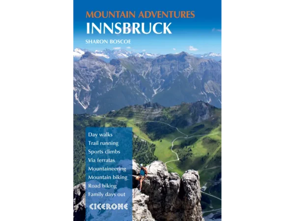
innsbruck logo

About the Panoramaweg Pleisen Trail

Innsbruck
country
Austria
length
4.5 km(3 mi)
Type of trail
Day hike
difficulty

Difficulty is highly personal. Be aware of the weather conditions as bad weather turns easier trails in difficult trails especially in the mountains.

Moderate
accommodation

Lodging means a mix of hotels, hostels or AirBnB’s.

Lodging
Elevation gain
240 m(787 ft)
terrain
Hills, Forest
remoteness
Some of the time
Show more

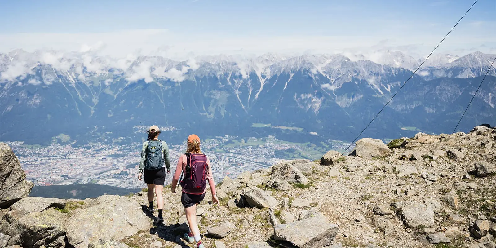
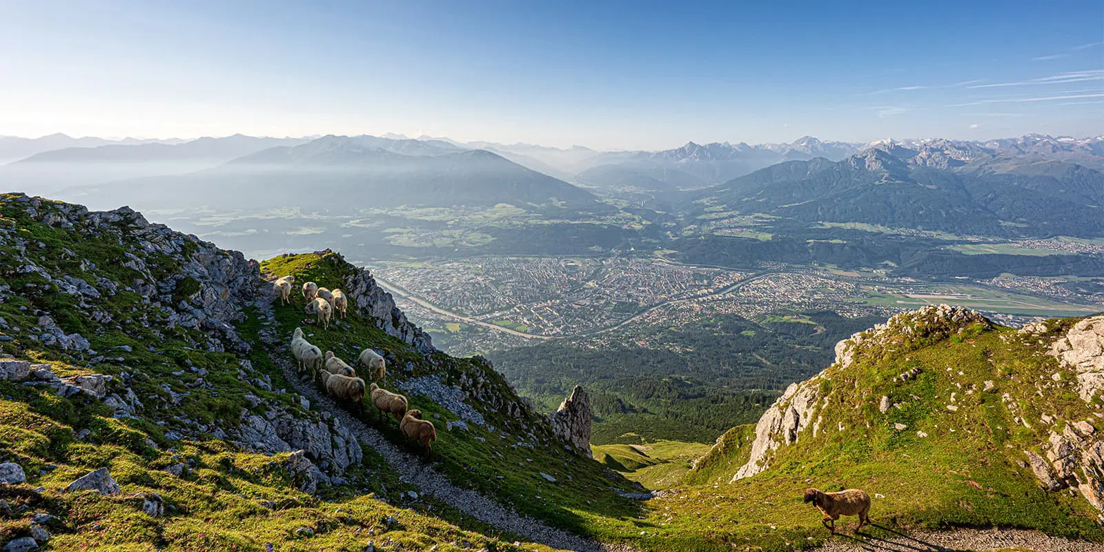
The Pleisen Panorama Trail is a short trail above Innsbruck that starts and ends at the top of the Patscherkofel cable car. It is about four kilometers in total, follows well-maintained paths, and has 240 meters of elevation gain. It’s great for a morning or afternoon and has views of the Inn Valley and Nordkette range. This hike fits into a half-day, which means it is easy to combine with a visit to Patscherkofel or other nearby trails.

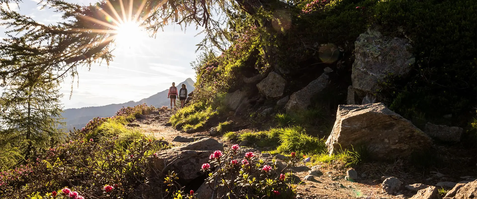
It’s accessible by cable car, and works well for families, visitors short on time, or anyone trying to fit in a walk between travel days.

women in blue smiling at camera
Editor

Katie Mitchell

After a whirlwind of 8 years on the road (and trail!), Katie has hiked the Camino Frances, the Peaks of the Balkans, the Fisherman’s Trail, and extensively in the United States. She is an avid trail runner and now lives in Colorado where she plays in the mountains in her free time. You can follow her adventures on Instagram.

View profile

The Trail

The trail begins at the top station of the Patscherkofelbahn (1,965 m), where you’ll head south past the restaurant and follow signs for the “Panoramaweg.” The path curves gently across the slope, cutting through sections of open hillside and light forest. Then, after about 20–30 minutes, you’ll reach a small rest area with benches. From here, the trail bends back toward the lift, looping in a wide arc.

Continue past a short ridge and along a gravel path that remains mostly level. Here, the views will shift from the Stubai Valley to the Nordkette mountains. You’ll finish by joining a wide path that leads back to the cable car station. There are no steep climbs or exposed sections. Innsbruck is great about having clear signage throughout, and the side trails are well-marked.

To return, you can either hike the same route back to the cable car, or there are two other options. The first is to follow the trail downhill below the life station. The second option is to hike down the (sometimes very steep!) “Axamer Skiabfahrt” ski run to the village of Azams. This will take 1.5-1.75 hours to descend. Enjoy!

Accommodations

There are many accommodation options in Innsbruck if you’re looking for somewhere to stay before or after your hike, and you can find more information on the Innsbruck website. You’ll find options for everything from budget hostels to luxury hotels or bed and breakfasts. There are options for every budget and expectation!

Best time of the year

The best time of year to hike the Panoramaweg Pleisen Trail is between June and September. While the hike itself doesn’t take you up too many altimeters, Innsbruck itself already sits at 1883 meters. With the highest point of the hike, Hoadl, being at 2340 meters, this means that it can get quite snowy and icy in the later months. If you’re hiking in the shoulder season, make sure to bring microspikes, as these can be helpful. The Innsbruck tourism website also has webcams that will allow you to see the trail conditions before you set out.

Safety & Gear

Preparing for the Panoramaweg Pleisen Trail can be as easy as throwing some layers and snacks in a bag, or you can take more care to curate your gear for the trail specifically. However, a short day hike like this doesn’t require too much extra gear other than layers and a good pair of shoes.

Additionally, it’s great to bring extra snacks and water for the hike to be prepared. If you’re feeling extra cautious, you can also pack a miniature first aid kit or medication for allergies.

Difficulty

The Panoramaweg Pleisen Trail is rated as medium difficulty for its sustained uphill climb. You’ll be hiking up to the Hoadl for 240 meters, which can demand endurance from you as a hiker. On the other side, you’ll then need to descend for 240 meters, which can also be a bit tough on the joints. Make sure you stretch beforehand, and you should be okay.

If you decide that you want to train for this and other hikes, it can be helpful to work on strengthening your muscles in addition to cardio. Take walks with weighted backpacks or try walking on uneven ground instead of paved walkways. Finding ways to train your balance and endurance in your everyday life is very doable and important if you want to sustain a healthy hiking habit!

Good to know

Patscherkofel is easy to reach from Innsbruck. Take the J bus to the Patscherkofelbahn base station in Igls. From there, you can ride the cable car to the top. The trail starts just outside the top station, and tickets are available at the lift or with the Innsbruck Welcome Card, which also covers some public transport.

Bring water, as there are no fountains along the trail. The Patscherkofel restaurant is at the start and finish point if you want to stop for food. Weather changes quickly at this altitude, so check the forecast. The trail is open during the cable car’s summer operating season, usually from May to October.

route
there-and-back
highest point
2340m (7677 ft)

Guidebooks

Innsbruck guidebook for hiking

Hiking in Innsbruck

View guidebook

Want to submit a trail or make this page more complete?

Always read the disclaimer

Terms of Use: important to all visitors on this website. We strive to publish high quality content and information on this website. However it’s always possible that we’re missing out on some crucial information. In spite of the fact that this route, associated GPS track (GPX and maps) were prepared under diligent research by the specified contributor and/or contributors, the accuracy of such and judgement of the author is not guaranteed. Therefore, hiking-trails.com and contributors are in no way liable for personal injury, damage to personal property, or any other such situation that might happen to individuals hiking or following this route. Should you choose to hike this trail, this is always at your own risk. Check out our guidelines for safety hiking and Leave No Trace principles at the hiking 101 page.

Download GPX

Join the community!

Login or create a FREE account 😊

With an account you can:

Download GPX files

Pin trails to your wishlist

Mark trails as hiked by you

Rate hiking trails

Comment on trails, blogs and gear reviews

Happy trails!
Login

Don't have an account yet? Register here