About the Nordkalottleden

country
Sweden, Finland, Norway
length
750 km(466 mi)
Type of trail
Long-distance
difficulty

Difficulty is highly personal. Be aware of the weather conditions as bad weather turns easier trails in difficult trails especially in the mountains.

Moderate
accommodation

Lodging means a mix of hotels, hostels or AirBnB’s.

Wild camping
Elevation gain
16453 m(53980 ft)
terrain
Mountains, Forest, Hills
remoteness
All the time
Show more

The Nordkalottleden Trail is a roughly 750-kilometer hiking route stretching from Sulitjelma (or Kvikkjokk) to Kautokeino, or vice versa. It goes through the wilderness of northern Norway, Finland, and Sweden, crossing international borders 15 times. The trail passes through five national parks and gives you access to around 50 overnight cabins, where you’ll see some of Europe’s most pristine and dramatic landscapes.

The ecology of the region is incredibly diverse, with everything from high mountains and alpine plateaus to green valleys, rivers, and lakes. You will walk through national parks and nature reserves, such as Rago National Park (Norway), Padjelanta and Sarek National Parks (Sweden), and Øvre Dividal National Park (Norway), which are known for their pristine nature and stunning scenery.

Maaike profile picture

Maaike van den Ende

Maaike is a passionate hiker and outdoor enthusiast from the Netherlands. She completed the John Muir Trail solo in the summer of 2022—her first solo thru-hike, and a truly wild adventure. From unpredictable weather and remote terrain to tricky river crossings, the trail tested her in every way. Along the journey, she also discovered the warm and social nature of American hiking culture.

Since then, Maaike has continued to chase long-distance trails, including the Grande Traversée des Alpes (640 km) in 2021 and 2023, and the Nordkalottleden in 2024. You can follow her adventures on Instagram: @Maaike.to.the.End

View profile

The Trail

Nordkalottleden is one of the more remote long-distance trails in Europe, where you will get a sense for the isolation and tranquility that’s hard to find on more crowded routes. In some sections, you might see Sami settlements or signs of reindeer migration, providing some insight into the symbiotic relationship between the Sami and this rugged landscape.

You can hike the Nordkalottleden either south to north (NOBO) or north to south (SOBO). You’ll want to decide this based on season and personal preferences. There’s no huge indicator of whether one is better than the other.

There are also options to enjoy alternate, side routes while you’re hiking. The trail crosses the highest point of Sweden (Kebnekaise, 2,099 metres / 6,960 ft) and the highest point of Finland (Halti, 1,365 m/4,478 ft); both can be climbed as side trails.

Stages

  • Section 1: Sulitjelma – Vaisaluokta (connecting to Ritsem), 105 km | 65 mi
    Or Kvikkjokk – Vaisaluokta (connecting to Ritsem), 165 km | 102 mi
  • Section 2: Vaisaluokta – Abisko, 225 km | 139 mi
  • Section 3: Abisko – Kilpisjarvi, 190 km | 118 mi
  • Section 4: Kilpisjarvi – Kauotkeino, 190 km | 118 mi

Accommodations

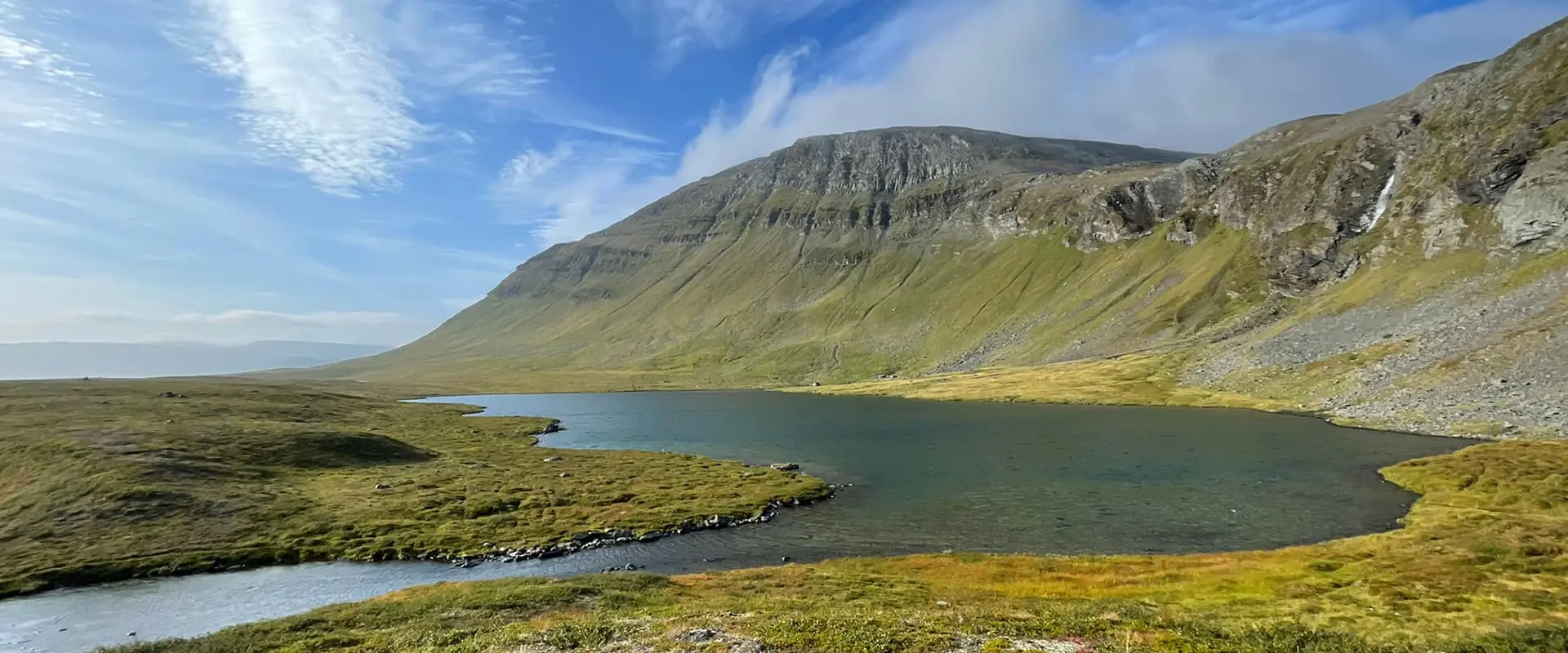
While the Nordkalottleden has various unmanned huts and shelters, some stretches, like between Vaisaluokta and Røysvatnhytta or around Reisa National Park, have long gaps without accommodations, which means a tent is essential.

Free or wild camping is governed by “Allemansrätten” (Sweden/Norway) and “Jokamiehenoikeus” (Finland), which grant the right to camp responsibly in nature. Apply leave no trace principles and be prepared for challenging conditions, such as wet or rocky terrain and exposure above the treeline, which requires wind-resistant tents.

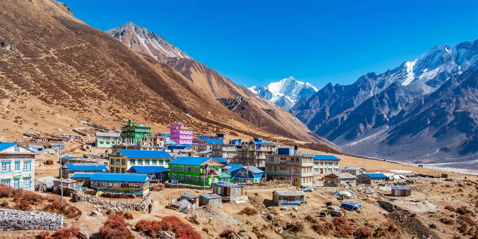
When you do stay in huts, you’ll see that the Scandinavian huts are generally rather simple in nature. In all of the huts, there is no electricity, no running water, or any other modern amenities, but there is a dry toilet and a chimney with wood provided. However, after a cold, rainy day of hiking, the warmth of a fire and the ability to dry your clothes are a welcome reward. All guests are expected to help each other by carrying firewood and cleaning prior to leaving in the morning.

The hut system differs per country and organisation along the trail:

  1. Norwegian (DNT):
    Unmanned, accessed with a DNT key.
    Equipped with bunk beds, mattresses, fully equipped kitchens, occasional solar panels, and a few have a sauna.
    Costs: 500 NOK (non-members), 250 NOK (DNT/STF-members).
    Guests must clean and carry out trash.
  2. Norwegian (Statskog):
    Unmanned and open
    Minimal amenities: chimney, tools to cut wood, bunk frames. Bring a sleeping pad and bag.
    Free, basic shelters for 2-4 people.
    Guests must clean and carry out trash.
  3. Swedish (STF):
    Staffed huts in summer and winter, often selling snacks.
    Equipped with bunk beds, kitchens, and mostly saunas.
    Costs: 500 SEK (non-members), 450 SEK (STF/DNT members).
  4. Finnish huts:
    Free and open basic wilderness cabins
    There are minimal amenities: a stove, a chimney, firewood, and bunk frames. Bring a sleeping pad and bag. The dry toilets don’t have paper.
    Dry trash can be left at recycling points.

All huts prioritize self-sufficiency and mutual responsibility among hikers.

Best time of the year

Choosing the ideal time depends on factors like temperature, daylight, snow, stream conditions (water level), mosquitoes, and trail activity. The prime hiking season is July to mid-September. Many Scandinavian hikers consider August to mid-September the optimal time for hiking, as it offers a balance of mild weather and fewer bugs. You will encounter the most hikers around this time.

Snow and storms are possible year-round. Winter skiing is best in March-April, when frozen lakes and longer daylight hours make it possible.

Safety & Gear

Resupply

Food carries between towns (Ritsem, Abisko, and Kilpisjärvi) are long, so choose your supplies carefully and consider lightweight options like freeze-dried meals. In sections with DNT huts, which have fully equipped kitchens (except for microwaves and ovens), you can bring other easily prepared foods for convenience.

Kilpisjärvi and Abisko supermarkets offer decent supplies, while STF Ritsem’s store is very limited, especially for dietary restrictions. If hiking northbound, consider mailing a resupply to Ritsem. Southbound, the distance is shorter, with snack sales at Padjelantaleden huts and a hiker shop in Staloluokta.

Gear

Normal hiking gear appropriate for all kinds of weather is needed. A lot of the trail is exposed, so your tent should be able to cope with hard winds, and you should bring windproof clothes. Don’t forget your map and compass, and bring an emergency beacon as there is no cell reception on most of the trail.

Hut gear

If you are planning to stay (regularly) in one of the huts, some of the following might come in handy:

  • DNT key
  • Sheets or a sleeping bag are mandatory, but you will have them with you for camping already. An additional pillow case comes in handy as well.
  • A washcloth to wash yourself.
  • Fire starters are useful when staying in the free huts.
  • Rechargeable light and/or candles are useful when it is getting dark earlier (September).
  • Use a USB cable to charge your phone and power bank, as some DNT huts have solar panels with only a USB outlet.

Good to know

A few extra tips to remember for the trail when you get going are to pack wisely, which means remembering extra items like toilet paper! You’ll also enjoy the chance to forage while you’re hiking, so be sure to brush up on your identification skills before you go.

For navigation, it is smart to have a few options. Download the maps offline and bring a map and compass as a backup. To be safe, you’ll then also want an external battery charger for your navigation device!

Finally, it is highly recommended that you get a DNT membership and key to access comfortable huts along the trail in Norway.

route
Point-to-point
Highest point
1035m (3395 ft)

Want to submit a trail or make this page more complete?

Join the community!

Login or create a FREE account 😊

With an account you can:

Download GPX files

Pin trails to your wishlist

Mark trails as hiked by you

Rate hiking trails

Comment on trails, blogs and gear reviews

Happy trails!
Login

Don't have an account yet? Register here