About the Mullerthal Trail

country
Luxembourg
length
112 km(70 mi)
Type of trail
Long-distance
difficulty

Difficulty is highly personal. Be aware of the weather conditions as bad weather turns easier trails in difficult trails especially in the mountains.

Moderate
accommodation

Lodging means a mix of hotels, hostels or AirBnB’s.

Lodging, Camping
Elevation gain
2200 m(7218 ft)
terrain
Forest, Hills
remoteness
Some of the time
Show more

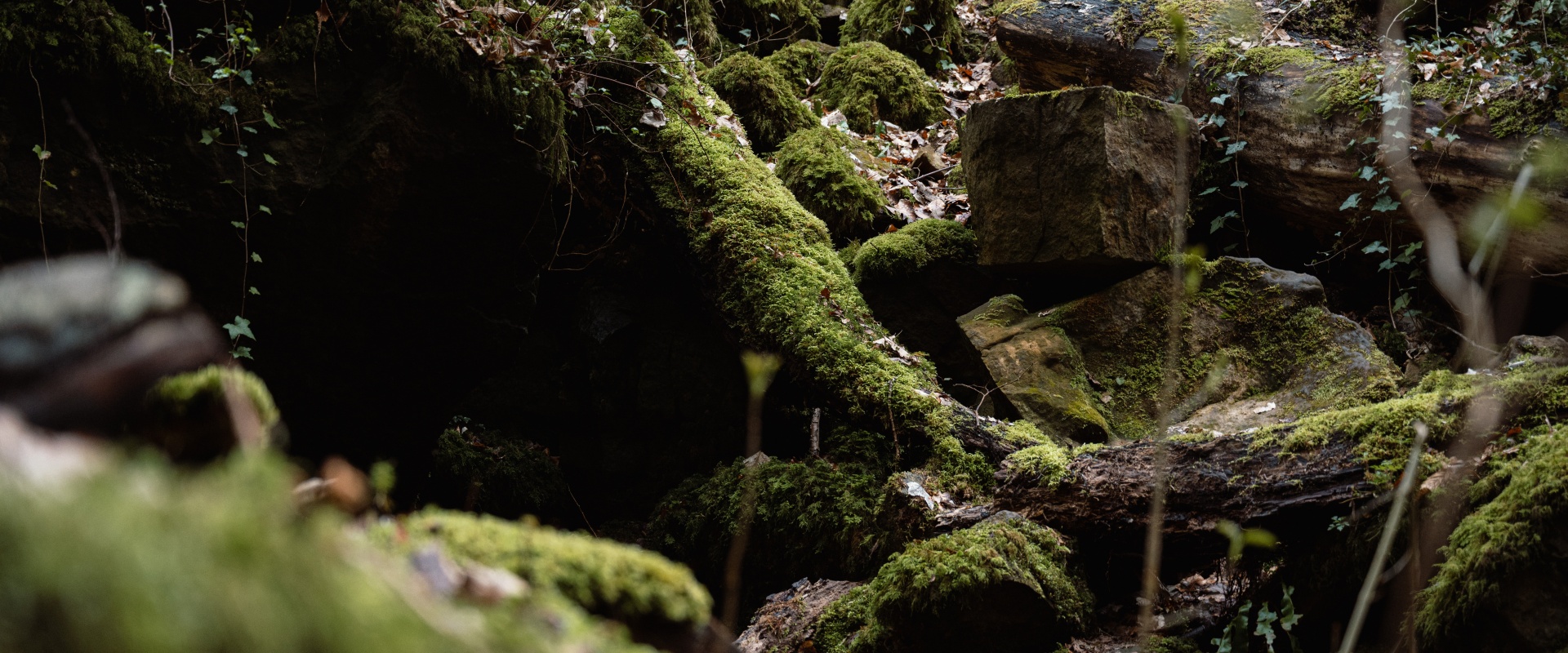
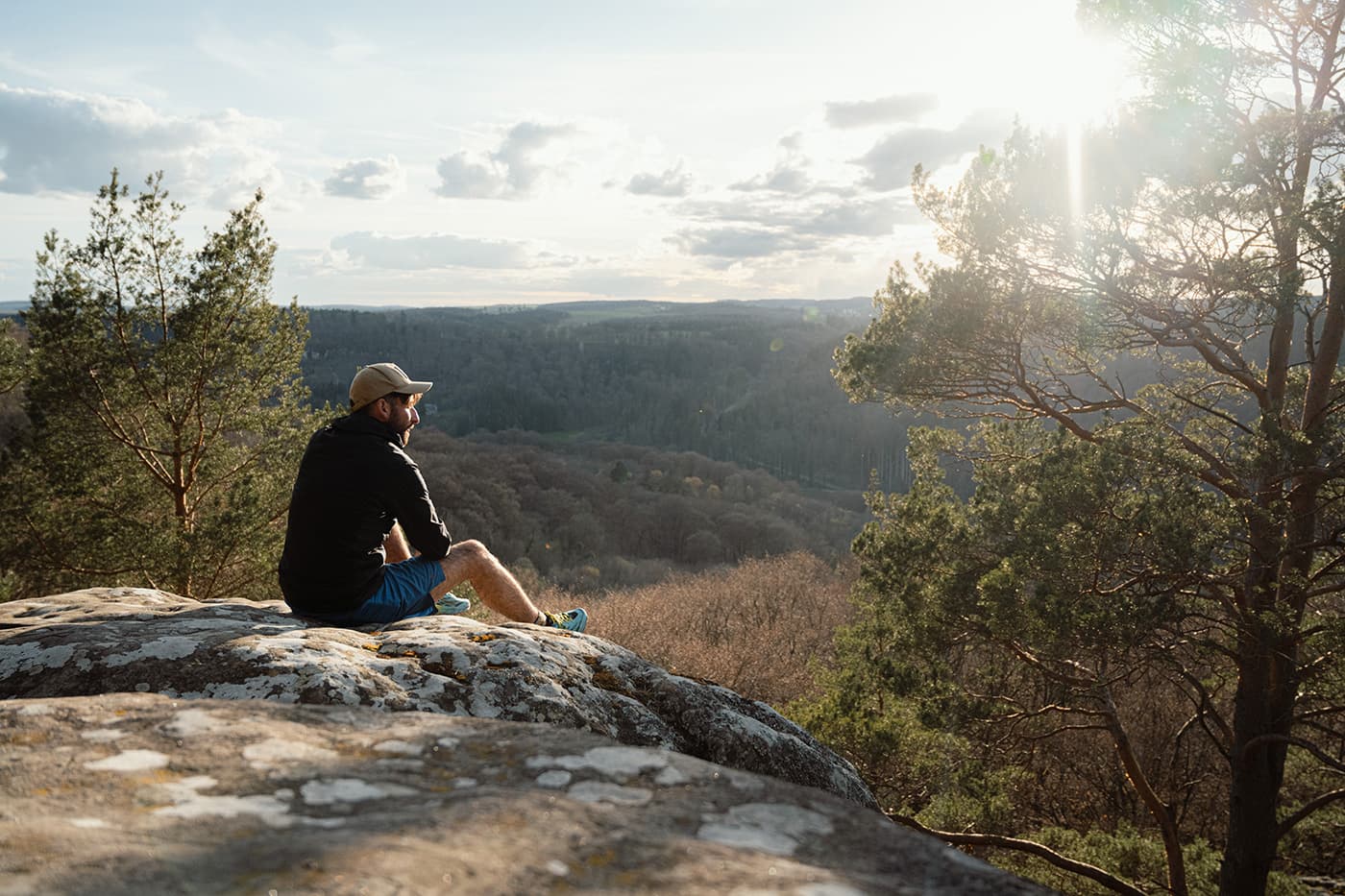
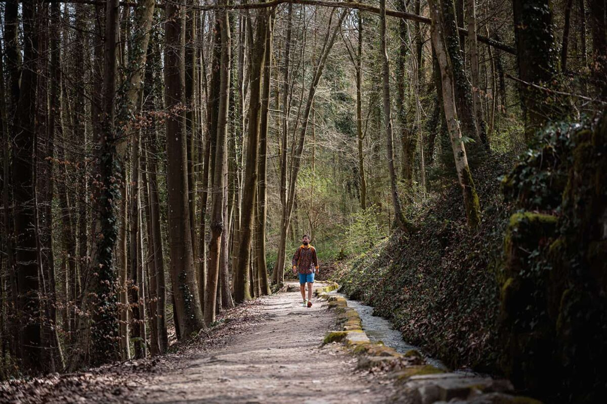
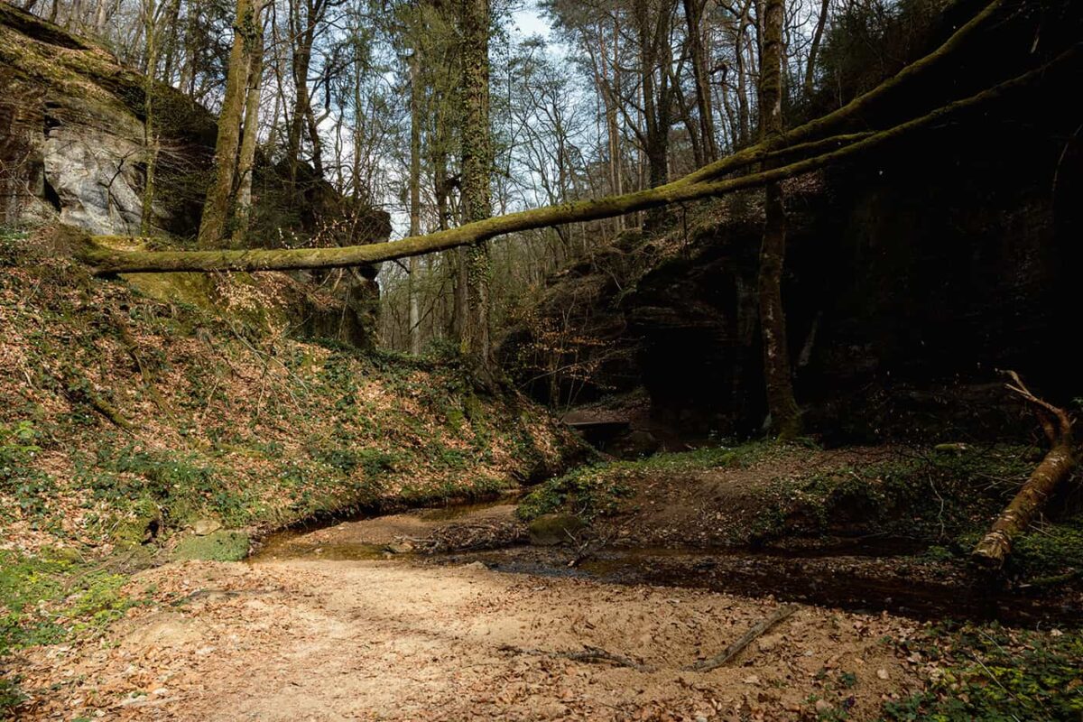
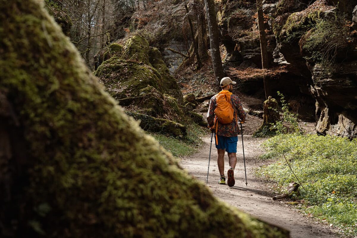
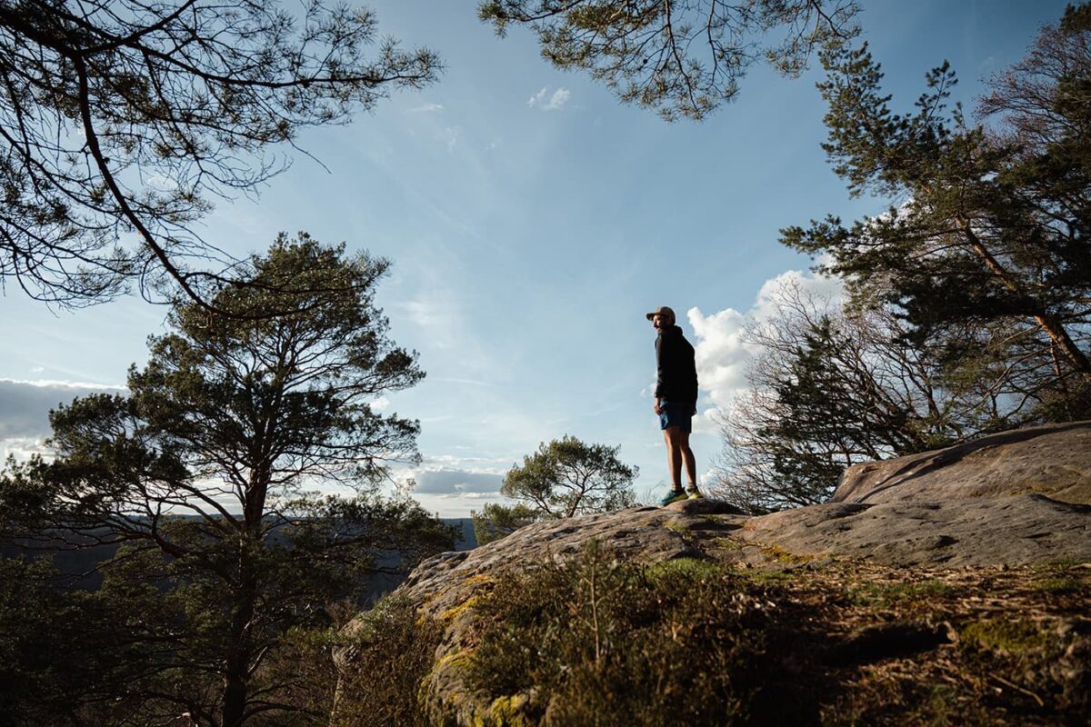
The Mullerthal Region, also known as Little Switzerland due to its high sandstone rock formations, has one of Europe’s most beautiful hiking networks including the Mullerthal Trail. From the historic places of Echternach, Beaufort, and Berdorf, you can walk three different ‘loops’ to wander 112 kilometers through forests with large rock formations, narrow crevices, and deep canyons on the Mullerthal Trail. The path leads you past castles and rivers in enchanting Luxembourg, showcasing how a small country can excel.

Sustainability is a cornerstone of the Mullerthal Region’s tourism model. Efforts to preserve the natural environment are shown through the provision of free public transportation, which not only enhances accessibility to the region’s attractions but also aligns with Luxembourg’s environmental conservation goals.

Elmar profile picture
Editor

Elmar Teegelbeckers

Passionate hiker Elmar spends months of his time on the trail. He’s usually on the lookout for hidden gems in one of his favourite countries such as Slovenia, Switzerland and Japan. He founded hiking-trails.com in need for a community and detailed information about the trails. Before this, he worked for the Alpine asscociation in the Netherlands[ (NKBV) but lost his heart to the trails.

Not long ago, Elmar published the book (in Dutch) Hiking Trails – best long-distance trails in Europe. With this book, website and socials, he hopes to inspire and shape an inclusive community for hikers all over world. No matter your speed, experience or level, you can get out there to enjoy the trails and connect with the heartwarming hiking community. Life is so much better outside and he hopes to inspire hikers to take their first, or next, step on the trail.

You can reach Elmar at info@hiking-trails.com.

View profile

The Trail

This long-distance hike is slightly different from other hiking trails. The path consists of three so-called ‘loops,’ averaging 38 kilometers each, that overlap here and there. Most hikers choose to do a portion of each loop from a single base location. This means you select one place to stay (camping or accommodation) that is your base, and from there travel each day to the starting points of the different walks to experience the most beautiful parts of the Müllerthal Trail. Public transport is never far away and is even free in Luxembourg to take you back to your campsite or accommodation. Also, there’s a great option to hike this trail as a long-distance trail as we outlined in the stages sections.

Truly great is the Luxembourg’s free public transport system that ensures you to easily reach all popular starting points like Echternach, Berdorf and Beaufort. Simply hop on a bus or train and hike straight on the trail without worrying about the costs and connections.

Stages

As this trail consists of three loops you may choose to hike the loops separately or you can choose to hike the Mullerthal Trail as a long-distance trail. These are the suggested stages for the long-distance option.

Stages of the Mullerthal Trail

Stage 1:

Echternach – Moersdorf, 18km | 11 miles

Stage 2:

Moersdorf – Echternach, 20km | 12 miles

Stage 3:

Echternach – Mullerthal, 12km | 7 miles

Stage 4:

Mullerthal – Larochette, 17km | 11 miles

Stage 5:

Larochette – Müllerthal, 20km | 12 miles

Stage 6:

Mullerthal – Echternach, 25km | 16 miles

Accommodations

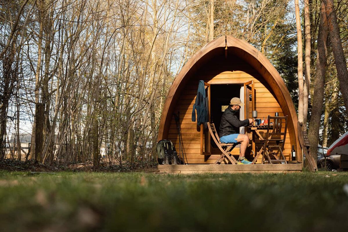
On the Mullerthal Trail, you can choose between camping or accommodations such as hotels in the villages for example Beaufort, Echternach, and Berdorf. Also, several campsites are located near the trail and offer a great place to sleep at a camping spot or small cabins that you can rent.

Best time of the year

The best time of the year to hike the Mullerthal Trail is from late spring to early autumn, specifically between May and October. During these months, the weather is best for hiking, with warmer temperatures and longer daylight hours. Note that it can be snowy and temperatures drop dramatically in the winter months here.

Safety & Gear

Always bring your essentials for a better trail experience, like shoes with enough grip, especially when it rains and the paths can be muddy. Bring your layers, at least a baselayer, mid-layer, and a hardshell rain jacket for occasional rain showers. Take enough water and food with you and always put the GPX in an app for navigation on your mobile phone.

Good to know

The Mullerthal is a suitable hike for beginner long-distance hikers and is best walked from April to October. The paths are well-marked and not too technical. It’s a wonderful area to get away from it all, recharge, and enjoy nature. In the winter months, it can be quite cold and snowy. You can extend the Müllerthal by taking one of the additional tours. Besides the three ‘standard’ loops, several extra day hikes have been created to further explore the region. You can find water resources in streams for filtering alongside the way and sometimes restaurants and accommodations in the villages. One thing that is truly great about Luxembourg is the free public transport in the whole country.

Download the GPX files for each loop on this website.

Route
Circuit
Highest point
416M (1356 FT)

Want to submit a trail or make this page more complete?

Comments

Be the first one to comment on this trail!

Reply to this trail

Log in to comment on this trail
Always read the disclaimer

Terms of Use: important to all visitors on this website. We strive to publish high quality content and information on this website. However it’s always possible that we’re missing out on some crucial information. In spite of the fact that this route, associated GPS track (GPX and maps) were prepared under diligent research by the specified contributor and/or contributors, the accuracy of such and judgement of the author is not guaranteed. Therefore, hiking-trails.com and contributors are in no way liable for personal injury, damage to personal property, or any other such situation that might happen to individuals hiking or following this route. Should you choose to hike this trail, this is always at your own risk. Check out our guidelines for safety hiking and Leave No Trace principles at the hiking 101 page.

Download GPX

Join the community!

Login or create a FREE account 😊

With an account you can:

Download GPX files

Pin trails to your wishlist

Mark trails as hiked by you

Rate hiking trails

Comment on trails, blogs and gear reviews

Happy trails!
Login

Don't have an account yet? Register here