About the Milford Track

country
New Zealand
length
53.5 km(33 mi)
Type of trail
Hut to hut, Long-distance
difficulty

Difficulty is highly personal. Be aware of the weather conditions as bad weather turns easier trails in difficult trails especially in the mountains.

Moderate
accommodation

Lodging means a mix of hotels, hostels or AirBnB’s.

Mountain huts, Lodging
Elevation gain
1755 m(5758 ft)
terrain
Mountains, Forest
remoteness
Some of the time
Show more

To some people, the Milford Track is known as “The World’s Most Beautiful Multiday Hike.” This is not surprising as it’s situated in Fiordland National Park; part of the South West New Zealand World Heritage Area or, Te Wāhipounamu Te in Maōri. The Milford Track takes you on a journey where the early explorers of the world once set foot.

You’ll come across valleys carved by glaciers, wander through lush ancient rainforests, and —with a little rain— you’ll have plenty of opportunities to be within arms reach of the majestic waterfalls known to the area.

women with blond hair and hat on
Author

Linde van Emmerik

Originally, Linde grew up in The Netherlands, but after graduating she made the move Down Under and spent six years between Australia and New Zealand. This is where she truly found her love for nature. She’s a little silly, which resulted in embarking on a journey of a lifetime: Te Araroa. Without ever having done an overnight hike, she decided to hike the length of New Zealand and got swept off her feet by the beauty this country had to offer. In 2024 she moved back to her home country, a country without a single mountain. So instead of climbing summits and hiking in the backcountry, she does the next best thing: write about it!

You can follow Linde on Instagram @lindevanemmerik

View profile

The Trail

As the start of the Milford Track is relatively remote, your transport to and from the trail goes by boat. Your journey starts in Te Anau Downs, where you’ll make a 1-hour boat trip to the trailhead at Glade Wharf. As you walk along the Clinton River you get glimpses of its crystal clear water, but don’t stop and stare for too long!

The sandflies in the South Island are notorious, so bring some strong insect-repellant. The first day is a gentle stroll through a beautiful beach forest which will lead you to Clinton Hut, where all hikers will spend their first night. If you’re feeling adventurous after you’ve picked your bunk and cooked your dinner, there is an impressive glowworm cave nearby the hut that’s worth exploring! You have also set foot in kiwi-territory and although these local birds are quite shy during the day, you might hear them calling out after dark!

From Clinton Hut, you gradually climb along the Clinton River, following it all the way up to Lake Mintaro. Shortly after passing Hirere Falls, you’ll get the first views of McKinnon Pass, as well as the Pompolona ice field. As you move through the Clinton Valley you’ll pass through different landscapes and get to soak in the stunning views of the huge rock walls on either side. If it has been raining, there will be countless waterfalls flowing all around and it’ll be hard to choose your photo-angle! You’ll easily forget that you’re slowly gaining elevation and before you know it, you’ve made it to Mintaro Hut.

The elevation thus far has been gradual and slowly building up. After leaving Mintaro Hut the real climb starts. You’ll make your way over the MacKinnon Pass, named after explorer Quintin McKinnon. On a clear day, you will get exceptional views of Lake Mintaro and the Clinton Canyon, but more often than not, there is quite some cloud coverage. If you’re lucky, the memorial is a great place for a 360º view, before reaching the highest point of the track at MacKinnon Pass Shelter (1154m). If you’ve got time, the shelter is a great place for a cup of tea, a snack, or a lunch break. MacKinnon Pass, as well as the rest of Fiordland National Park, is Kea territory; New Zealand’s alpine parrot. It’s a cheeky, curious bird that’s probably got their eyes on your lunch or loose gear, so make sure you don’t leave your stuff unattended!

From the MacKinnon Pass Shelter, you’ll gradually start to descend. On the way down you’ll pass multiple waterfalls along the Roaring Burn River before it’s time for another snack break at Quintin Shelter. From Quintin Shelter, you can add a little side trip to Sutherland Falls, which drops a spectacular 580 meters from Lake Quill and is the tallest waterfall in New Zealand. Well worth the 1.5-hour return trip and for the true daredevils amongst us, another excuse to get wet! From here it’s a steady walk to the final hut on the track: Dumpling Hut.

Your last day on the Milford Track is packed with some more magic. From Dumpling Hut you will follow the Arthur River. You’ll cross some swing bridges with amazing views on either side before you reach yet another waterfall! Mackay Falls is tucked away in a beautiful little corner of the forest and cascades down mossy rocks into a clear turquoise rockpool. This is also where you can find Bell Rock, which got its name due to the hollow inside; you can even crawl in if you want.

The last three kilometers of the track, you’ll walk on a smooth easy path built by prisoners between 1890 and 1892. Make sure you time your arrival at Sandfly Point well, as it does justice to its name. Although you can admire the spectacular views of the world-famous Milford Sound, you’ll quickly become an all-you-can-eat buffet for the sandflies! From Sandfly Point, a short boat trip will take you across the water, from where you can look back on a beautiful 4-day hike in the midst of Fiordland National Park.

Stages

Stage 1:

Glade Wharf – Clinton Hut, 5 km | 3 mi (1h – 1.5h)

Stage 2:

Clinton Hut – Mintaro Hut, 17.5 km | 10.9 mi (6h)

Stage 3:

Mintaro Hut – Dumpling Hut, 13 km | 8 mi (6-7h)

Stage 4:

Dumpling Hut – Sandfly Point, 18 km | 11.2 mi (5.5h – 6h)

Accommodations

Camping is not allowed on this track and the exclusivity of this walk is probably why the huts book out so quickly. In Great Walk Season the Milford Track Huts need to be booked well in advance. This means no matter your fitness, no matter your abilities, no matter your intentions: you will have to stay in all three huts on this trail. Per day, only 40 people are allowed to walk from hut to hut due to the safety and preservation of the trail.

In the evening, the hut warden hosts a hut talk in which they’ll typically share information about the history, native plants, and animals, and provide accurate weather forecasts. They normally stick around for a little while so hikers can ask questions if they have any, or want to have a friendly chat.

Prior to starting the track, it’s advised to arrange accommodation in Te Anau as this is the closest town to the start of the track. Your boat ride to the start of the track will depart from Te Anau Downs and all transport needs to be arranged before starting your trip, as you will have no cell service shortly after departure.

There is the possibility to book a guided walk of the Milford Track through a third party. In this case, your accommodation will be included and will be in their private lodges, rather than huts.

Accommodations per stage

Stage 1:

Clinton Hut

Stage 2:

Mintaro Hut

Stage 3:

Dumpling Hut

Best time of the year

The best time of the year to hike the Milford Track is from late October until late April. This is within the New Zealand Great Walk Season and will be the summer season in the Southern Hemisphere. Because transport needs to be arranged prior to your departure, it’s good to keep an eye on when the last boat of the season leaves.

Fiordland National Park is known to get a lot of rain all year around; an average of 200 days per year. In the colder months and outside of the Great Walk Season there’s the possibility of snow and ice. The track remains open between May and October, but with limited facilities and the weather, track and avalanche conditions need to be carefully considered. Always contact the Fiordland National Park Visitor Centre before departure and take your own experience, safety, and abilities into consideration.

Safety & Gear

For New Zealand in particular, the Department of Conservation has multiple visitor centers. Most of the time, they are located in a town close to the national parks. Not only do the visitor centers have a wide array of brochures to read about the trails in the area, but the staff also gets an accurate weather update and will help answer all the questions you have. Don’t be afraid to stop by or give them a call! In addition to this, a lot of information can be found on the Department of Conservation website, which will be linked below.

Always share your hiking plans with friends and family and provide details like starting times, expected finish times, the route you’re walking, and emergency contact information.

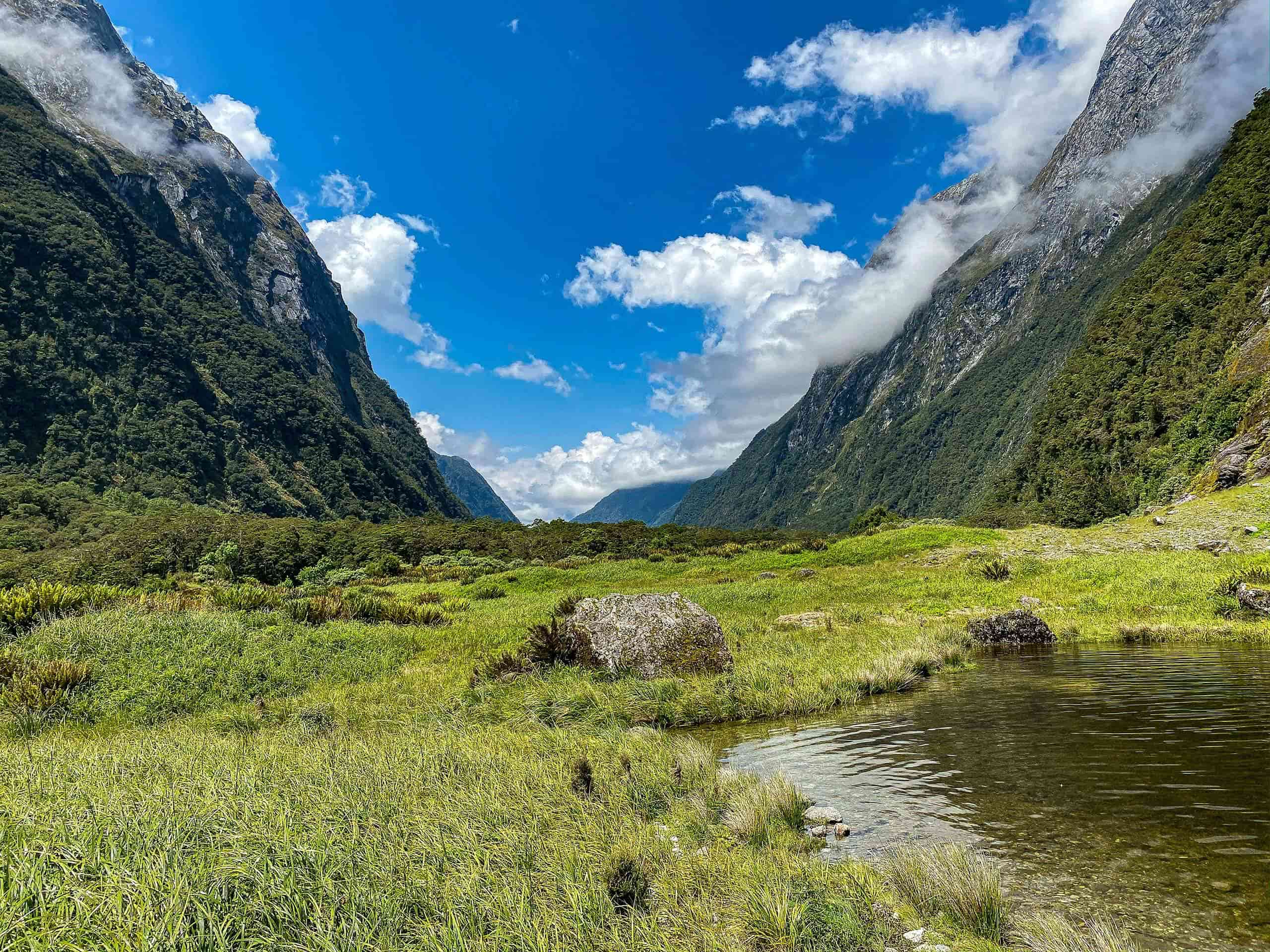
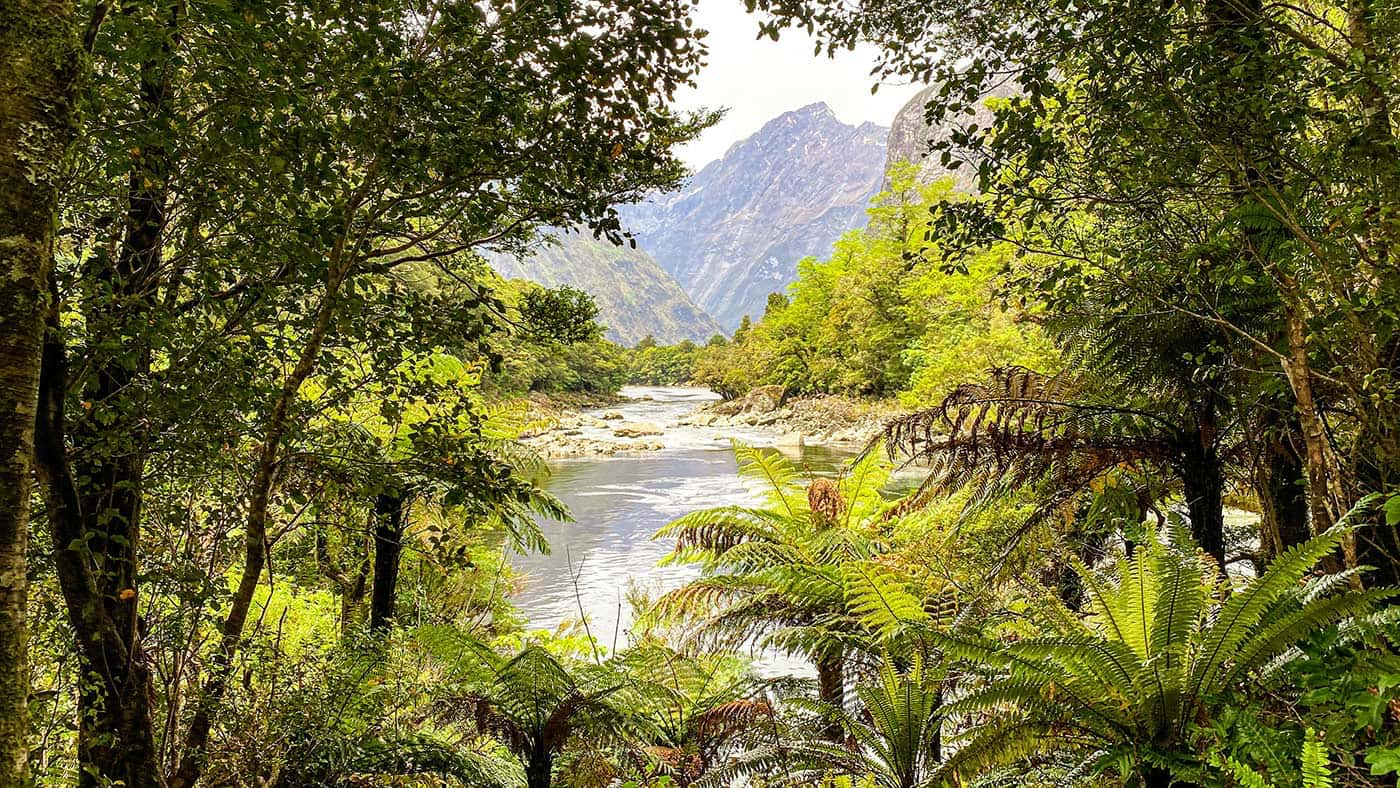
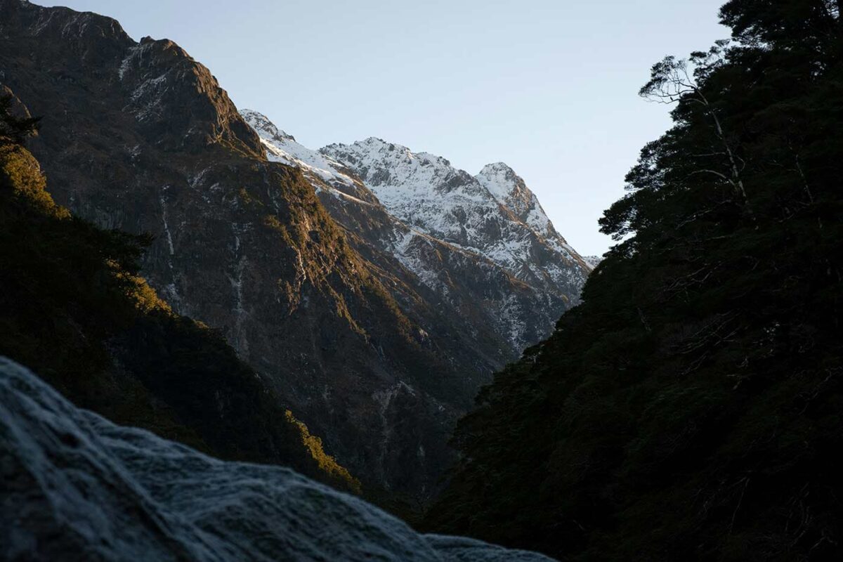
Especially in the mountains of New Zealand, weather can be unpredictable and change unexpectedly. Therefore, it’s important to be prepared for all weather conditions. Avoid hiking during severe weather like heavy rainfall, thunderstorms, or extreme heat. All these factors can be a risk to your safety. Other key factors for you to assess are trail difficulty, length, elevation gain, and terrain.

Make sure you carry at least two liters of water each day and make sure to know where your water sources are. Eating nutritious foods is essential for your energy levels. Make sure you bring enough snacks and include an emergency meal in case you get stuck for a day.

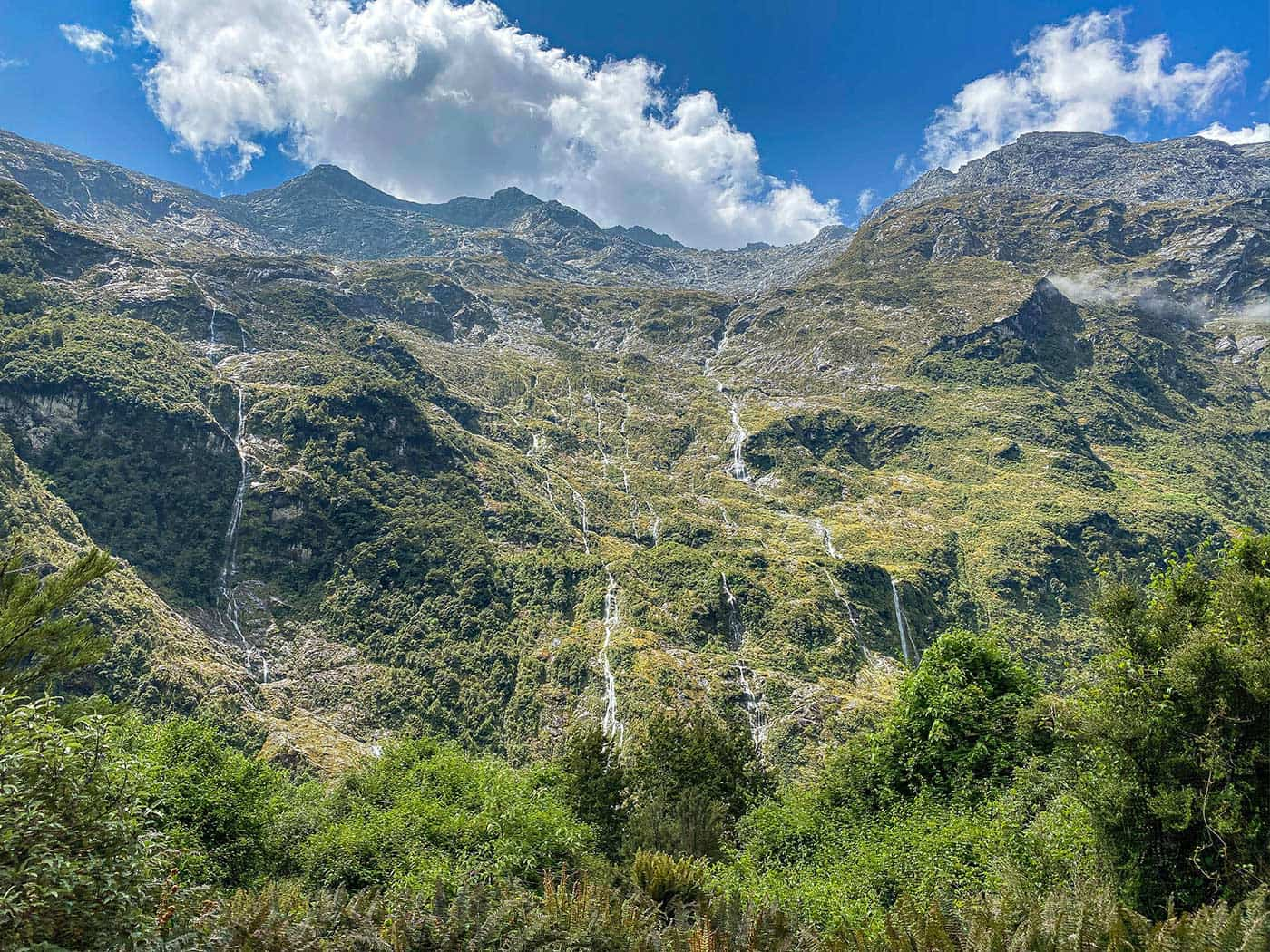
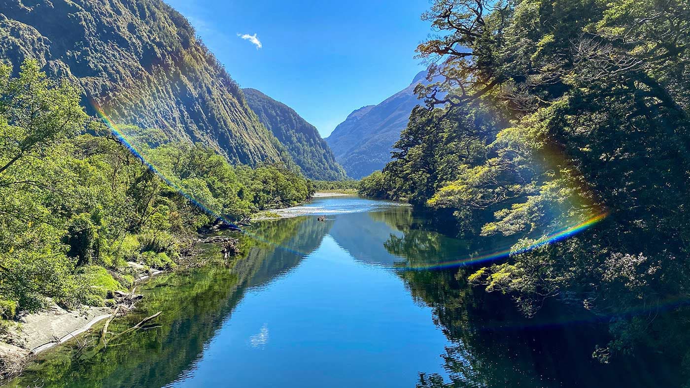
All huts have water tanks, but boiling or filtering water is advised. There are streams and waterfalls that can be used as resources, but again, to be safe, bring a waterfilter with you.

Carry navigational tools such as a compass or GPS device to stay oriented and avoid getting lost. A PLB —or personal locator beacon— can make a huge difference in case of an emergency. Make sure your maps or directions are accessible offline and don’t rely on just one app.

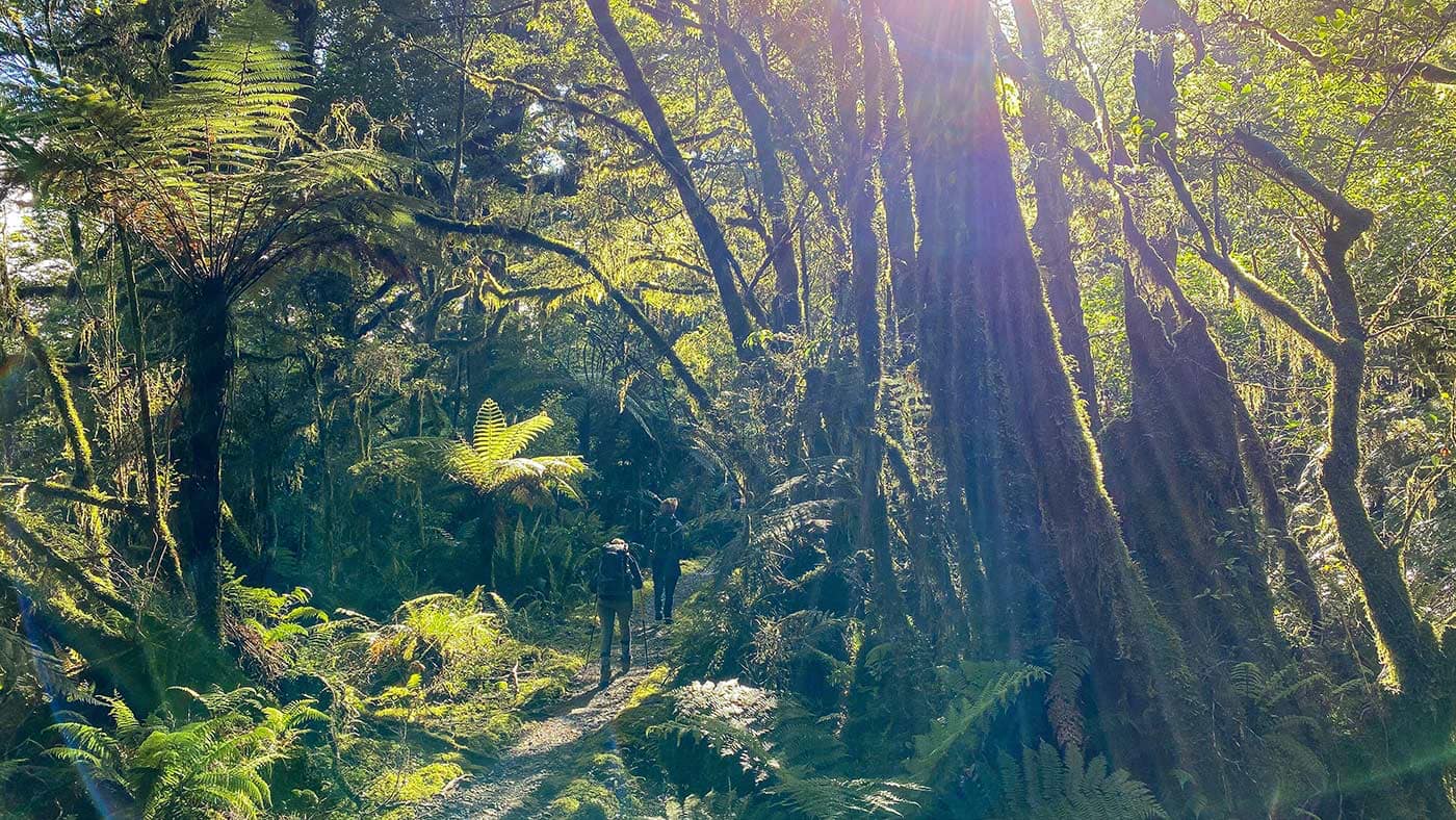
Invest in the right hiking gear, including comfortable, supportive footwear, good hiking clothes, such as warm base layers and a hardshell rain jacket, hiking poles, a well-fitted backpack, and essential equipment like maps, GPS devices (when needed), and a first-aid kit. Check out the comprehensive gear list for multi-day hikes like this.

Respect the principles of Leave No Trace by minimizing your impact on the environment. Stick to designated trails, pack out all rubbish, and respect the wildlife and their natural habitats.

Good to know

The trail is remote and there won’t be any cell service. The chance of running into someone is there as a maximum of 40 people move from hut to hut, daily and all stay in the same hut.

Every year the Department of Conservation will announce the date that bookings for the season open. If you don’t want to miss out, make sure you keep your eyes peeled!

Have you secured the hutpasses? Great! Don’t forget to bring a copy of your booking confirmation and reference number as all huts on the track are supervised by hut wardens, and they will check your booking.

Missed out on tickets? No need to stress just yet! Throughout the year, people’s plans change and there’s always the chance of cancellations. Keep an eye on the booking system as you might be in luck and snatch up some last-minute tickets!

For New Zealand in general I highly recommend the NZ Topo50 apps. There is a separate app for both North- and South Island and it’s got all the information you need! Most marked trails are visible on the map, offline available when downloading the app and you can import .gpx files as you like.

Route
Point to point
Highest point
1154m (3786 ft)

Want to submit a trail or make this page more complete?

Comments

Be the first one to comment on this trail!

Reply to this trail

Your email address will not be published. Required fields are marked *

Reply to this trail

Log in to comment on this trail
Always read the disclaimer

Terms of Use: important to all visitors on this website. We strive to publish high quality content and information on this website. However it’s always possible that we’re missing out on some crucial information. In spite of the fact that this route, associated GPS track (GPX and maps) were prepared under diligent research by the specified contributor and/or contributors, the accuracy of such and judgement of the author is not guaranteed. Therefore, hiking-trails.com and contributors are in no way liable for personal injury, damage to personal property, or any other such situation that might happen to individuals hiking or following this route. Should you choose to hike this trail, this is always at your own risk. Check out our guidelines for safety hiking and Leave No Trace principles at the hiking 101 page.

Download GPX

Join the community!

Login or create a FREE account 😊

With an account you can:

Download GPX files

Pin trails to your wishlist

Mark trails as hiked by you

Rate hiking trails

Comment on trails, blogs and gear reviews

Happy trails!
Login

Don't have an account yet? Register here