About the Malerweg

country
Germany
length
116 km(72 mi)
Type of trail
Long-distance
difficulty

Difficulty is highly personal. Be aware of the weather conditions as bad weather turns easier trails in difficult trails especially in the mountains.

Moderate
accommodation

Lodging means a mix of hotels, hostels or AirBnB’s.

Lodging, Mountain huts
Elevation gain
3600 m(11811 ft)
terrain
Mountains, Forest, Hills
remoteness
Some of the time
Show more

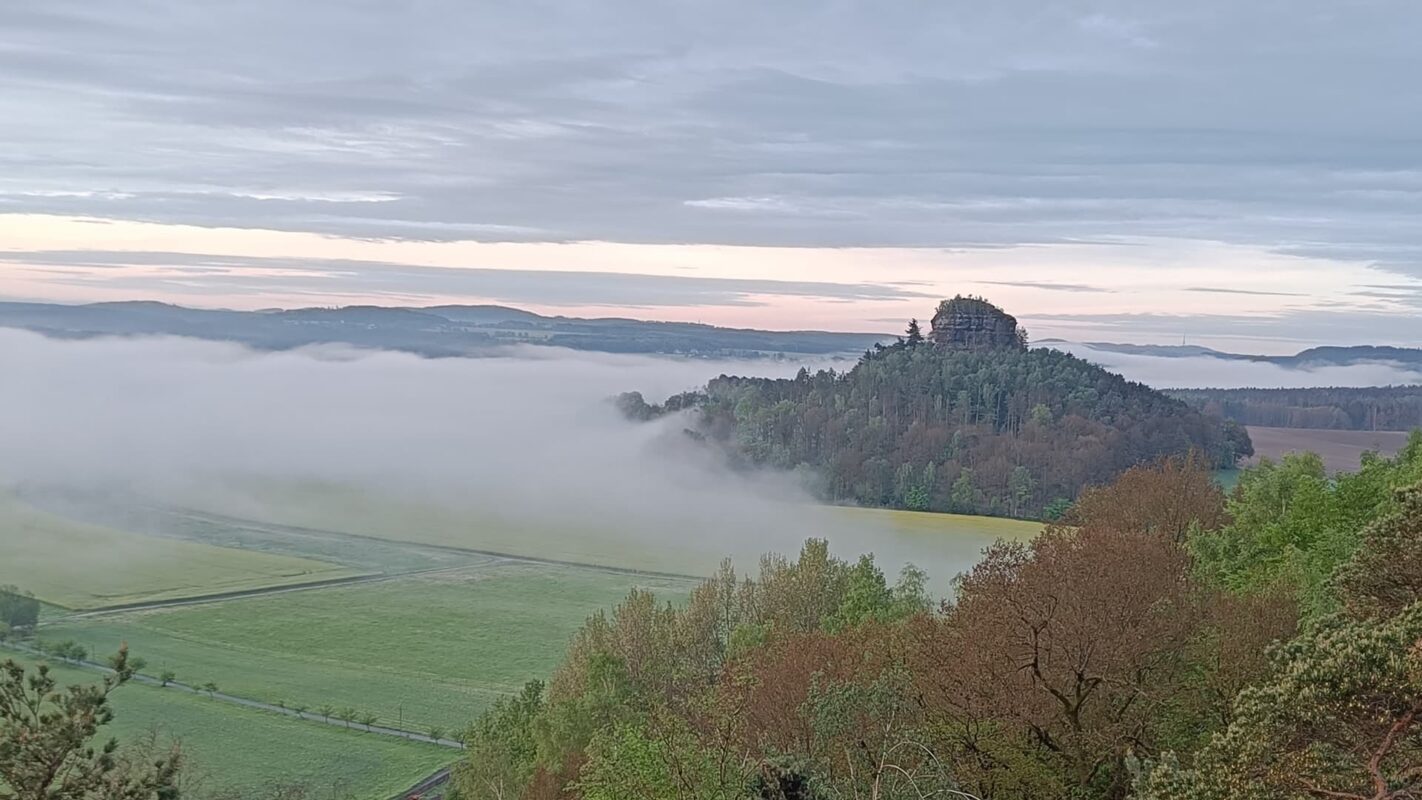
The Malerweg, also known as the Painter’s Way, is a long-distance hiking trail that goes through Saxon Switzerland National Park in Germany. Roughly 116 kilometers (72 miles), the trail has eight stages. The trail is right on the border with Czechia, so you’ll have a fun blend of cultures as you hike.

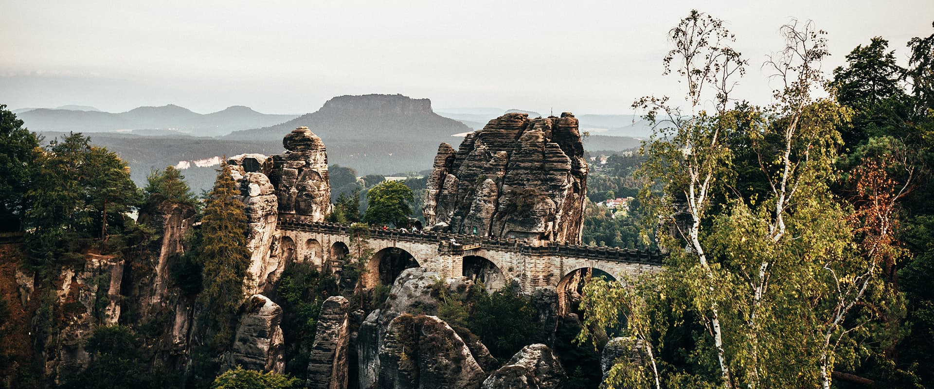
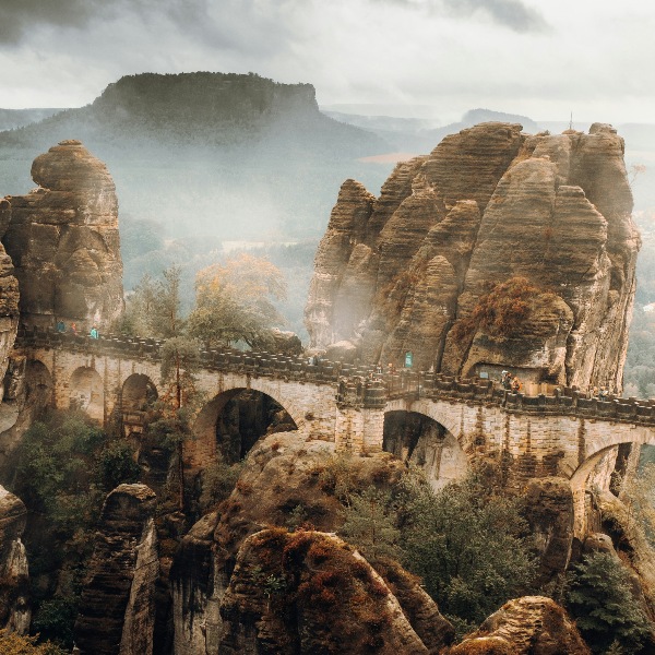
Starting in the town of Pirna, the route takes you through different environments, including spooky forests, dramatic sandstone formations, and river valleys that have inspired artists around the world. One of the highlights is the Bastei Bridge, a famous rock formation offering panoramic views of the Elbe River and surrounding countryside. As the trail progresses, you will also see villages, castles, and ancient rock carvings, providing a rich experience.

Emma Wileart profile picture
Author

Emma Willaert

Emma Willaert discovered her passion for hiking during the COVID pandemic and hasn’t stopped walking ever since. She likes to prepare her trips by means of a PowerPoint slide deck to inform and inspire her friends.

You can follow Emma and find her presentations on Instagram @slidesandhikes.

View profile

The Trail

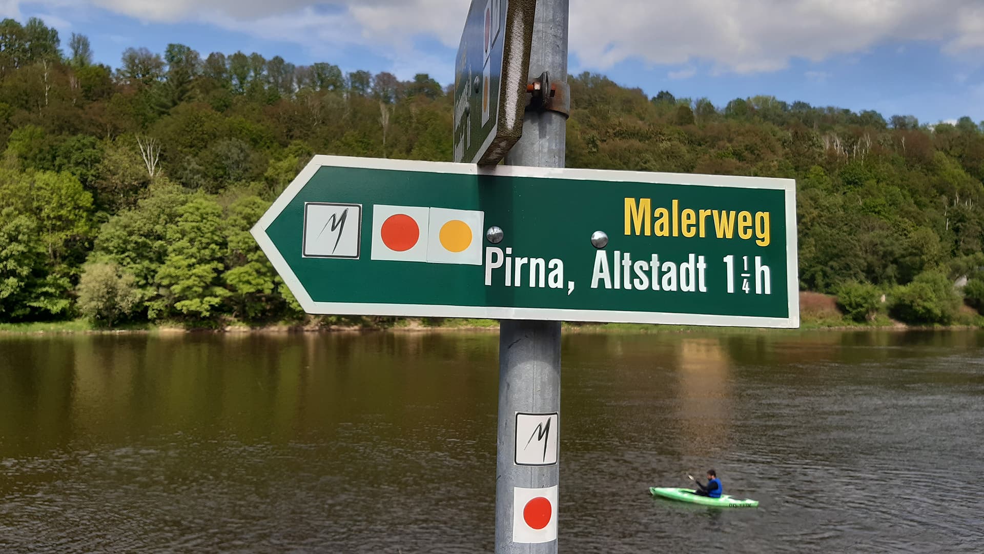
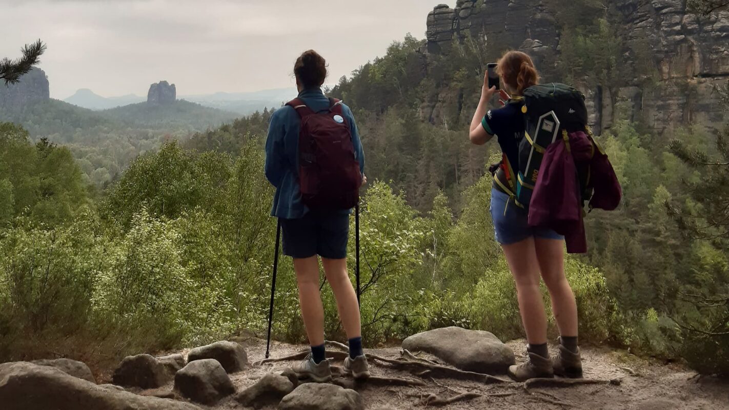
Each stage of the Malerweg varies in difficulty, with some sections having steep climbs and descents, while others are more chill in meadows and woodlands. The trail is well-marked, and has lots of accommodations, with everything from cozy guest houses to campsites along the way. The Malerweg not only has the beautiful nature that’s so unique to this region but also has a fun artistic and historical heritage, making it an all-around wholesome trail.

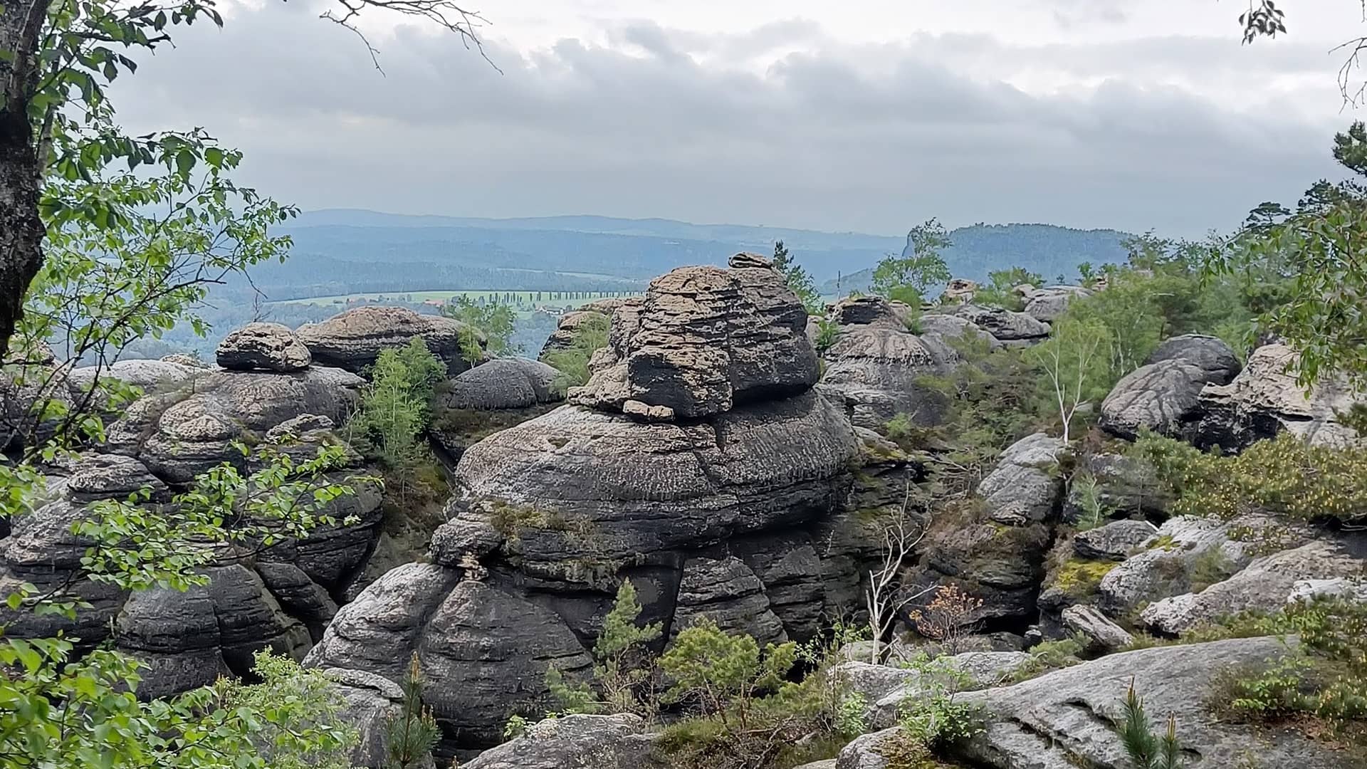
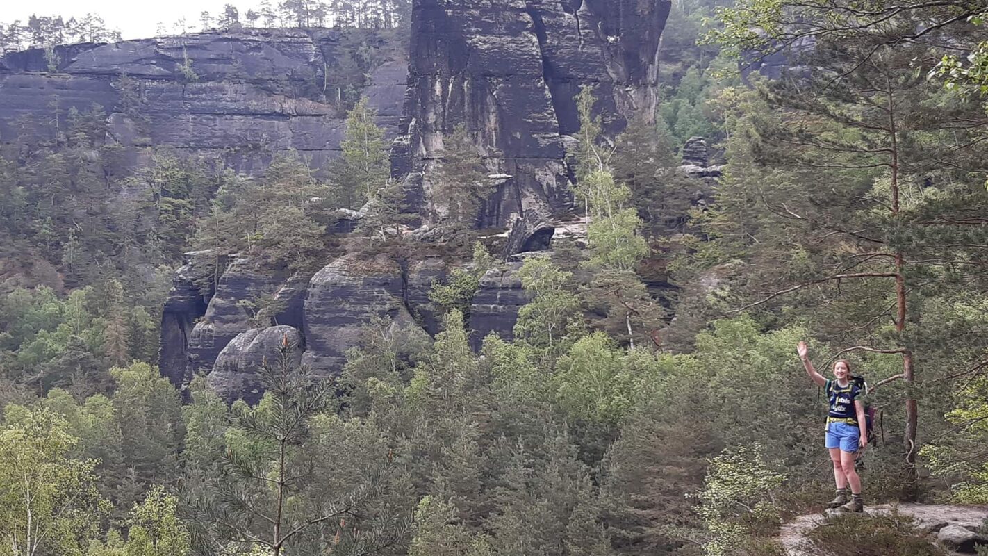
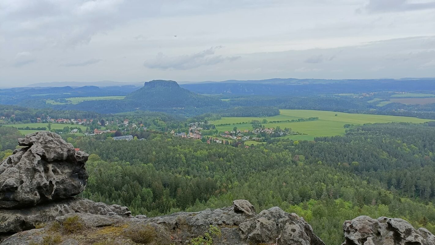
The Malerweg is set within the Saxon Switzerland National Park, which is famous for its rock formations. The park is a part of the larger Elbe Sandstone Mountains range, which extends into the Czech Republic. So as you hike through the gorges and valleys, along rivers, you’ll be surrounded by ancient rocks looming over the trail.

As an extra quest, you can collect stamps at each stage. When you’ve finished the eight stages, don’t forget to stop over at the tourist information center in Pirna. You will receive a certificate and a souvenir of the Malerweg!

Stages

8-stage itinerary

Stage 1:

Liebethal – Stadt Wehlen, 11.8km | 7.3 mi

Stage 2:

Stadt Wehlen – Hohnstein, 11km | 6.8 mi

Stage 3:

Hohnstein – Altendorf, 14.2km | 8.8 mi

Stage 4:

Altendorf – Neumannmühle, 18.4km | 11.4 mi

Stage 5:

Neumannmühle – Schmilka, 13.6km | 8.5 mi

Stage 6:

Schmilka – Gohrisch, 17.2km | 10.7 mi

Stage 7:

Gohrisch – Weißig, 15.7km | 9.8 mi

Stage 8:

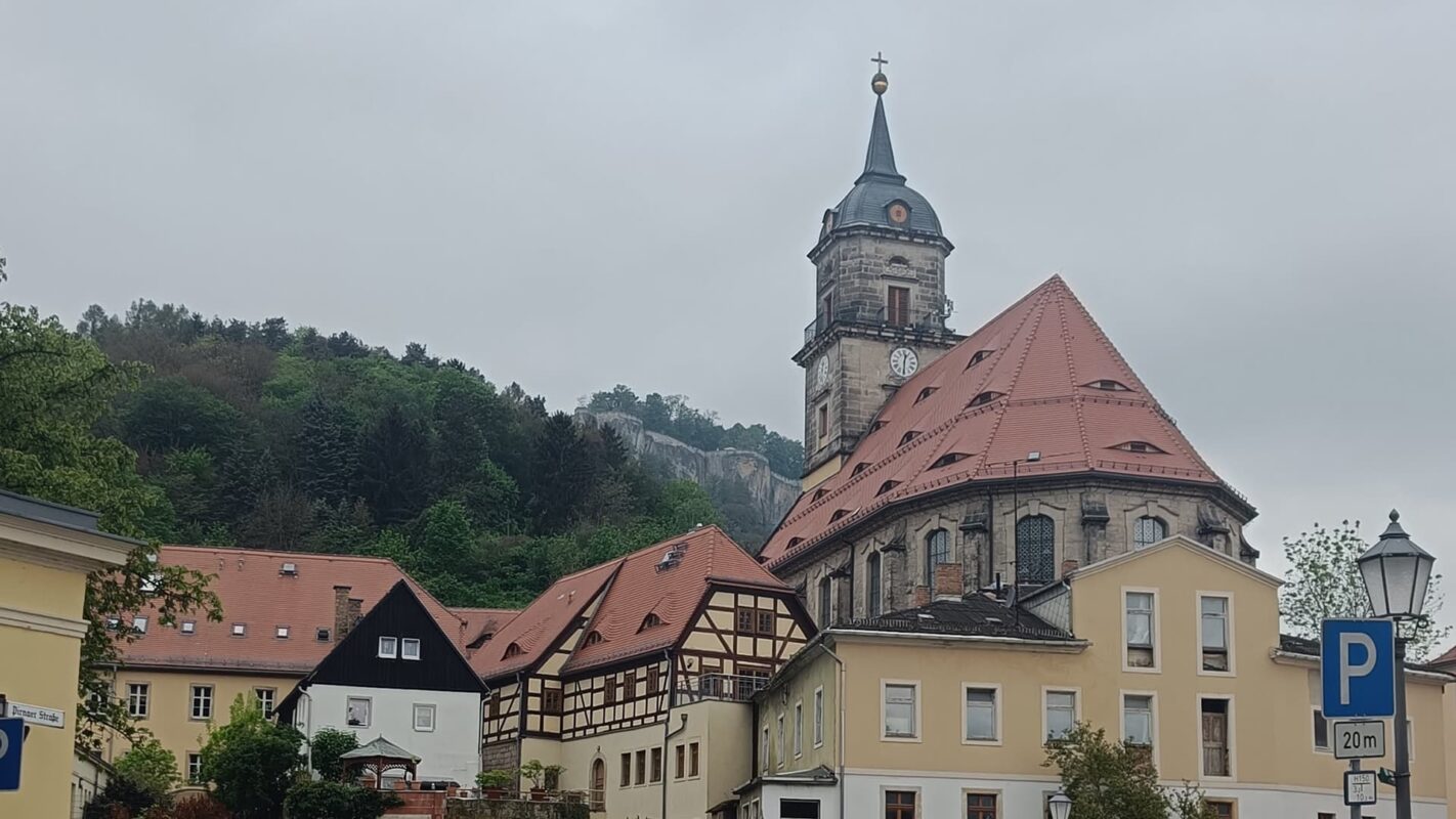
Weißig – Pirna, 13.9km | 8.7 mi

Accommodations

When hiking this trail you can stay in one of the beautiful mountain huts, hostels, or charming guest houses, many of which are family-run. These are especially convenient if you’re looking for budget-friendly accommodations.

Most of the accommodations have a restaurant, where you can taste the hearty, traditional German cuisine. Enjoy your daily schnitzel or bockwurst!

If your budget permits, some sections of the trail have hotels, and sometimes they even have wellness facilities like saunas or spas.

It is also possible to camp at some of the stages, but not on every stage.

Booking all accommodations a few months in advance is recommended, due to the trail’s popularity.

Overnights in the mountain huts/accommodations per stage:

Stage 1:

Holiday houses in Stadt Wehlen

Stage 2:

Rathewalder Mühle or holiday houses/hotels in Hohnstein

Stage 3:

Ostrauer Mühle

Stage 4:

Neumannmühle or Felsenmühle or Buschmühle

Stage 5:

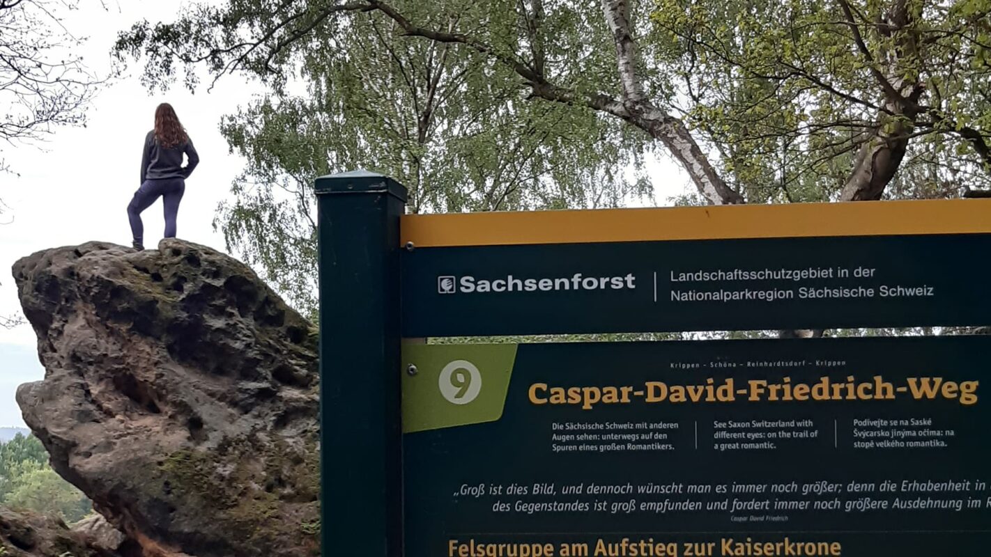
Guest house Kaiserkrone (gives the perfect opportunity to make an early morning hike in the dew to the Kaiserkrone)

Stage 6:

Unterkünfte “Familie Eisert”

Stage 7:

Hinterland Hostel

Stage 8:

Hotels in Pirna

Best time of the year

Hiking the Malerweg is actually possible during the whole year, however, the most convenient times are from late spring to early autumn. Late spring (May to June) offers mild temperatures, lush green landscapes, and blooming flowers, with fewer crowds than summer. This season provides an ideal balance of pleasant weather and tranquility.

Summer (July to August) brings warm to hot weather and a fun atmosphere as it’s the peak tourist season. All facilities along the trail are open, but popular sections can be crowded, and accommodations may need to be booked in advance.

Early autumn (September to October) features cool temperatures and stunning colorful foliage. This period offers a more serene hiking experience with fewer people, though shorter daylight hours require careful planning.

Safety & Gear

Make sure to share your hiking plans with someone you trust. Let them know your start and end times, the trail you’re taking, and who to contact in an emergency. This helps if something unexpected happens.

Check the weather before you go. Avoid hiking in bad weather like thunderstorms, heavy rain, or extreme heat since these conditions can be dangerous. Luckily, the Malerweg has lots of places to stop along the way in case of an emergency.

Stay hydrated and bring snacks. Pack at least two liters of water and some energy-boosting snacks to keep your energy up and avoid dehydration.

Know your trail map and carry navigation tools like a compass or GPS to stay on track and avoid getting lost.

Wear the right gear. Good shoes, proper clothing (like warm layers and a rain jacket), hiking poles, a comfortable backpack, and essential items like maps, a GPS, and a first-aid kit are all important. Check out our gear list for more ideas.

Lastly, follow Leave No Trace principles. Stick to the trails, pack out all your trash, and respect the wildlife and natural areas.

Good to know

The Malerweg is a popular destination among hikers, especially from Germany. Make sure you book the huts a few months in advance to secure a sleeping place during the night. Most huts can be booked by sending them an email or applying on their personal website.

Accompanied by a four-legged friend? It is perfectly possible to hike the Malerweg with your dog, aside from two or three passages that include stairs and ladders to climb the sandstone rocks. To avoid struggling with these obstacles, you can take a detour around the rock instead. On the official website of the Malerweg, there is an alternative GPX-route available that is dog-friendly.

Route
Point to point (possible to make loop)
Highest point
556m (1824 ft)

Guidebooks

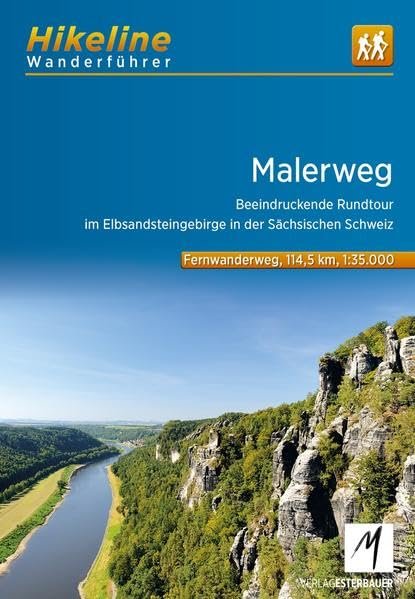
Guidebook Malerweg

View guidebook

Want to submit a trail or make this page more complete?

Always read the disclaimer

Terms of Use: important to all visitors on this website. We strive to publish high quality content and information on this website. However it’s always possible that we’re missing out on some crucial information. In spite of the fact that this route, associated GPS track (GPX and maps) were prepared under diligent research by the specified contributor and/or contributors, the accuracy of such and judgement of the author is not guaranteed. Therefore, hiking-trails.com and contributors are in no way liable for personal injury, damage to personal property, or any other such situation that might happen to individuals hiking or following this route. Should you choose to hike this trail, this is always at your own risk. Check out our guidelines for safety hiking and Leave No Trace principles at the hiking 101 page.

Download GPX

Join the community!

Login or create a FREE account 😊

With an account you can:

Download GPX files

Pin trails to your wishlist

Mark trails as hiked by you

Rate hiking trails

Comment on trails, blogs and gear reviews

Happy trails!
Login

Don't have an account yet? Register here