About the Larapinta Trail

country
Australia
length
223 km(139 mi)
Type of trail
Long-distance
difficulty

Difficulty is highly personal. Be aware of the weather conditions as bad weather turns easier trails in difficult trails especially in the mountains.

Moderate
accommodation

Lodging means a mix of hotels, hostels or AirBnB’s.

Camping
Elevation gain
16553 m(54308 ft)
terrain
Desert
remoteness
Some of the time
Show more

The Larapinta Trail is located right in the heart of Australia’s Outback, in the Tjoritja West MacDonnell National Park, located close to Alice Springs (called Mparntwe in the local Eastern Arrernte language) in the Northern Territory. The trail is dry, rugged, and rocky. It takes hikers through remote, arid desert areas with only snakes, wallabies – and, if you’re lucky, dingoes – for company, and then emerges into tourist-filled gorges and swimming holes.

Hikers can walk the trail in either direction, from Alice Springs/Mparntwe – the official start point – or from Redbank Gorge (the official finish point of the trail). Hiking from Redbank to Alice Springs means that you will finish in the city, and won’t need to worry about a transfer back to civilization.


profile picture Lisa Butler
Author

Lisa Butler

Lisa Butler has been obsessively hiking long-distance trails for more than ten years. She’s covered more than 7,000km all over the world. She prefers to hike solo to give her a deeper connection to nature and encourages as many women as possible to hike and wild camp solo too. You can follow Lisa on Instagram @thruhikes.

View profile

The Trail

Everything about the trail is well organized, from the trail website, trail notes, and really amazing paper map and trail notes package (which you can buy either online or in Alice), to the campsites and water tanks, which are located at every campsite. Without the amazing rangers filling up the water tanks, this trail would be near impossible to complete. The trail is very well-waymarked, so it is very difficult to get lost.

There are no shops on the route, which means you’ll have to arrange food drops for your entire hike (more on that below).

The website breaks down the hike into 12 sections and gives an estimate of the amount of time each section should take. The timings are very generous, meaning that slower hikers can easily complete each section in the designated time. Faster (or ultralight) hikers can sometimes complete two sections on the same day if they feel like it, and if the weather permits.

Before hiking the trail, you might have the impression that you’ll be hiking in complete wilderness. This isn’t quite the case (although if you’re bitten by a snake then it might take a long time for someone to come and help you). There’s a tourist road running through the Tjoritja West MacDonnell Ranges, meaning that tourists can access many of the same gorges as hikers by car. This means that at Redbank Gorge, Ormiston Gorge, Angkerie Atwatye (Standley Chasm), Ellery Creek, Serpentine Gorge, and Simpsons Gap you’ll see tourists and cars. In between those gorges, you’ll likely only see other hikers – or, if you’re hiking off-season, you’ll be alone.

The Larapinta Trail is on Arrernte First Nations land. It is essential that you acknowledge the Arrernte custodians, respect and learn about their culture, and recognize that the sites you are walking through are sacred.

You must book your hike in advance on the Northern Territory Parks website here. To hike the trail from end to end, it will cost you $125.

Food drops

Before hiking, you need to plan your food drops, because there are no places to restock on the route. You have the choice of organizing your own food drops or paying a company to do it for you (see here).

There are official food storage sheds on the trail, with locked cupboards. Before starting your hike, you will need to pick up the key to these sheds in Alice Springs. The Northern Territory Parks website states:

“You can leave food in storage rooms at Ellery Creek South, Serpentine Gorge, and Ormiston Gorge. Get a key from the Tourism Central Australia visitor center.

You will need to pay a deposit of $50, refundable when the key is returned.
A non-refundable fee of $10 will be charged by Tourism Central Australia to cover costs.”

You can also privately arrange to store food at Standley Chasm. Contact them directly if you want to do this.

If organizing your food drops yourself, you’ll need to put each food package in a mouse-proof, sturdy plastic box with a lid and secure it tightly shut. You can buy these containers at Bunnings in Alice Springs.

If hiking on a very tight budget, it is completely possible to hitchhike to the start of the trail (if you’re beginning at Redbank Gorge). On your hitchhiking route to the trailhead, you can stop off and put your food drops into the storage cupboards. You might also be able to arrange for the staff at Ormiston Gorge to pick up your box if they are in Alice on their own errands. Contact them directly.

Note that there are cafes at Standley Chasm and Ormiston Gorge to buy snacks and cooked food.

Stages

You can download PDFs for each section of the trail on the government’s Northern Territory website here.

Stage 1:

Alice Springs Telegraph Station – Simpsons Gap, 24.7 km | 15.3 mi (9h)

Stage 2:

Simpsons Gap – Jay Creek, 26.2 km | 16.2 mi (8h)

Stage 3:

Jay Creek – Standley Chasm, 13.6 km | 8.5 mi (5.5h)

Stage 4:

Standley Chasm – Birthday Waterhole, 17.9 km | 11.1 mi (8.5h)

Stage 5:

Birthday Waterhole – Hugh Gorge, 14.9 km | 9.3 mi (10h)

Stage 6:

Hugh Gorge – Ellery Creek, 28.9 km | 18 mi (11h)

Stage 7:

Ellery Creek – Serpentine Gorge, 12.8 km | 8 mi (5.5h)

Stage 8:

Serpentine Gorge – Serpentine Chalet Dam, 13 km | 8 mi (5.5h)

Stage 9:

Serpentine Chalet Dam – Ormiston Gorge, 28.9 km | 18 mi (12h)

Stage 10:

Ormiston Gorge – Finke River, 8.9 km  | 5.5 mi (4h)

Stage 11:

Finke River – Redbank Gorge, 25.8 km | 16 mi (9.5h)

Stage 12:

Redbank Gorge – Mount Sonder – Redbank Gorge, 15.8 km | 9.8 mi (6h)

Accommodations

You will camp throughout the Larapinta Trail. There are 26 designated camping areas on the trail. Since 2021, camping fees have been introduced. Most of the camps are $10 per adult per night. Standley Chasm and Ormiston Gorge have their own pay-on-arrival system.

You must book your hike, as well as the campsites, on the Northern Territory Parks website here.

Campsites are well-maintained. Many have shelters to protect hikers from the heat or thunderstorms. Toilets even have toilet paper, at least when it isn’t too busy. Each campsite has a water tank, filled up by rangers. Campfires are banned.

Wild camping is only allowed in some designated areas. These are campgrounds with no toilets or water tanks. The Larapinta Trail map shows these spots.

For a full list of campsites for each section, including photos, see the Larapinta Trail camping section here and the Northern Territory Parks website here.

Best time of the year

The best time of the year is May till September, with July and August being the busiest times. Temperatures in June and July are around 20°C in the daytime. Nights can be cool, so bring layers for 0-5°C evenings.

If you can cope with the heat, outside of the main trekking season window you will find the trail completely empty of hikers – which can be a bonus if you like solitude. But as the Australian summer approaches, you will likely be hiking in the 30-something°C heat, with no shade on your hike. Hiking in the summer (November-February) is not recommended – you might be walking in 40°C heat with no other hikers on the trail to help you if you get into trouble.

See the Larapinta Trail website for more detailed information about weather conditions.

Safety & Gear

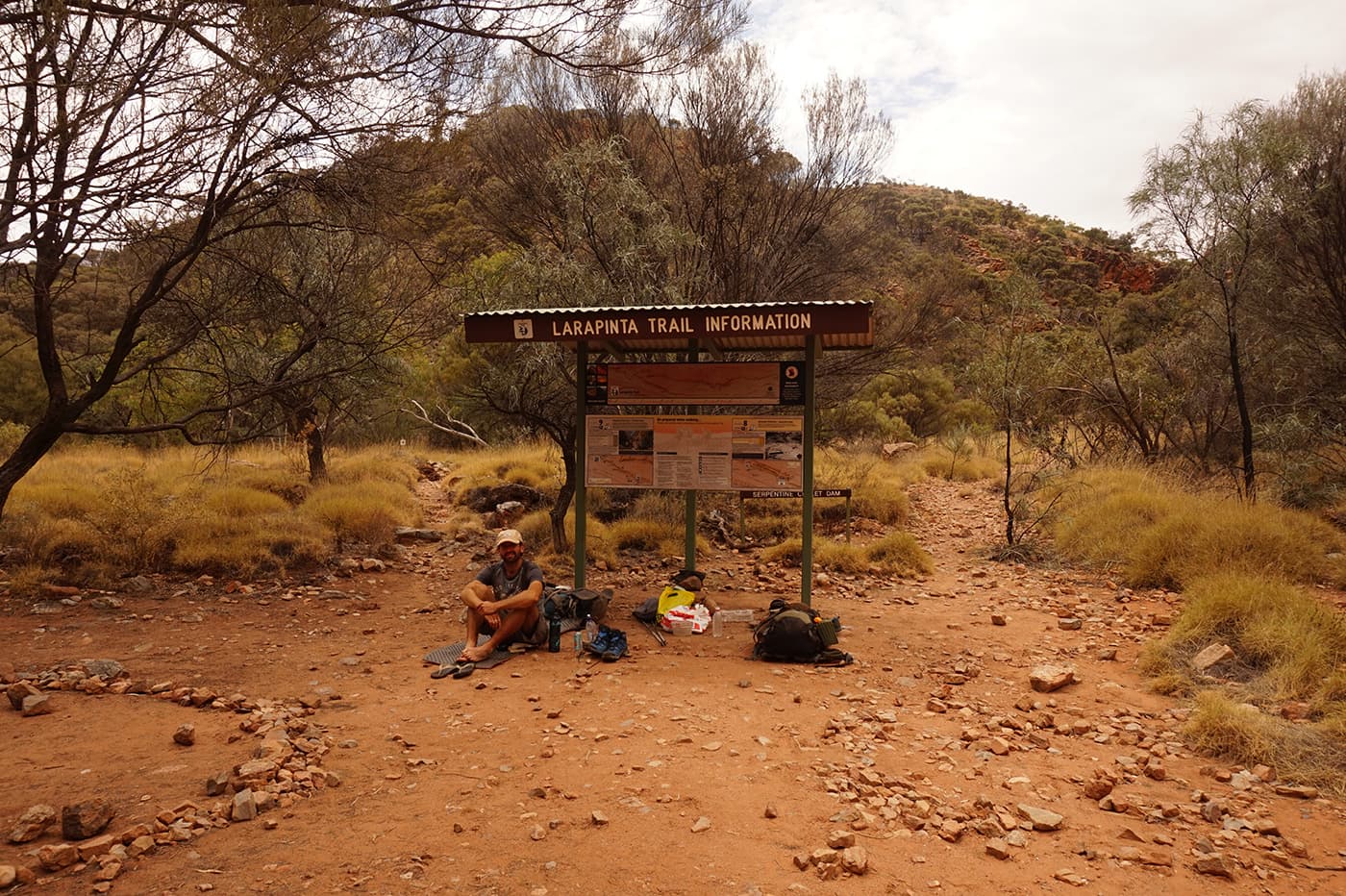
Don’t forget to buy the Larapinta Trail map package, available in Alice Springs, before hiking. Familiarize yourself with the route and plan your itinerary. Although it is very, very unlikely that you’ll get lost on the trail (the route is well-waymarked), you should also buy a compass and learn how to use it to navigate.

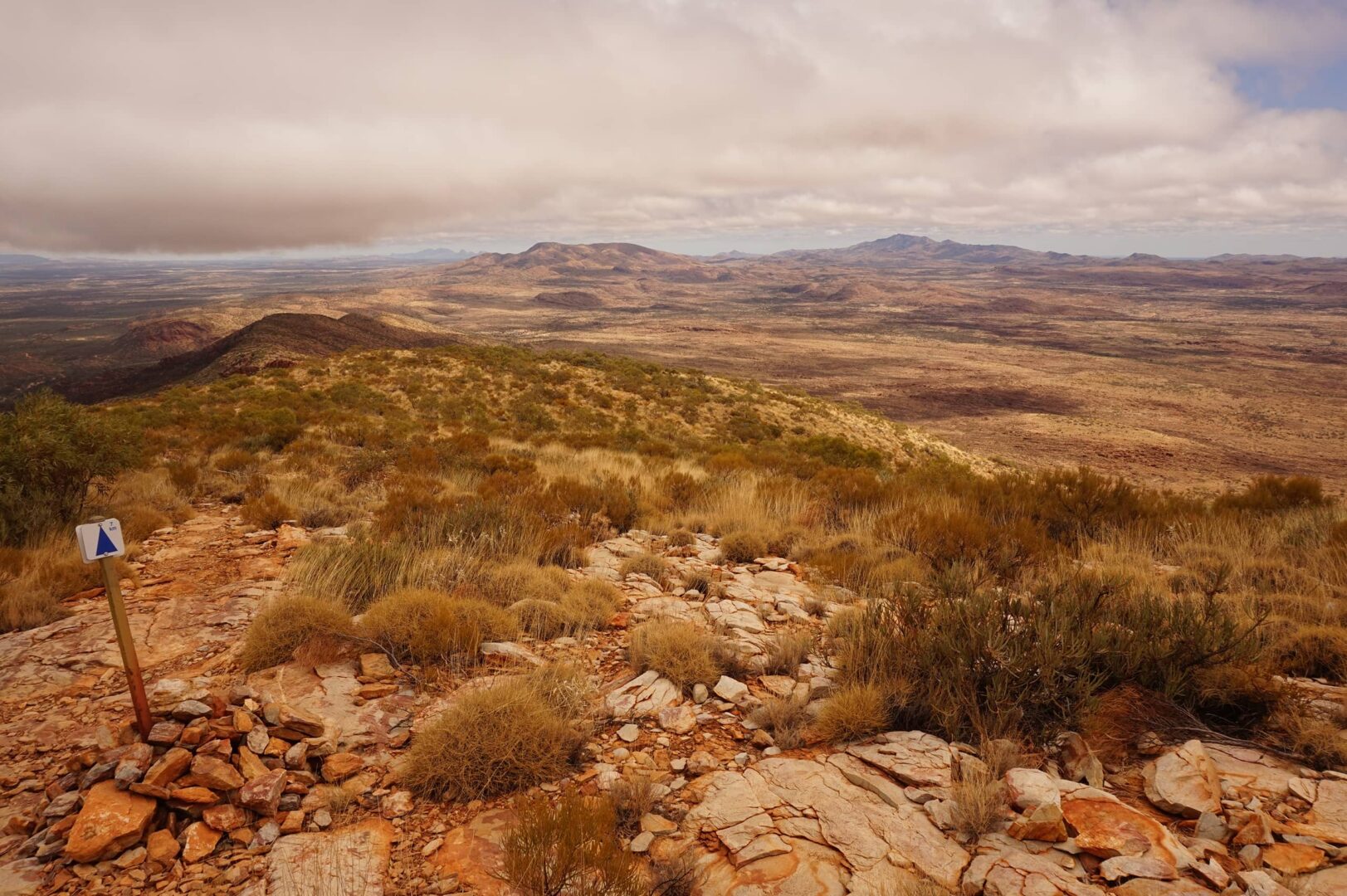
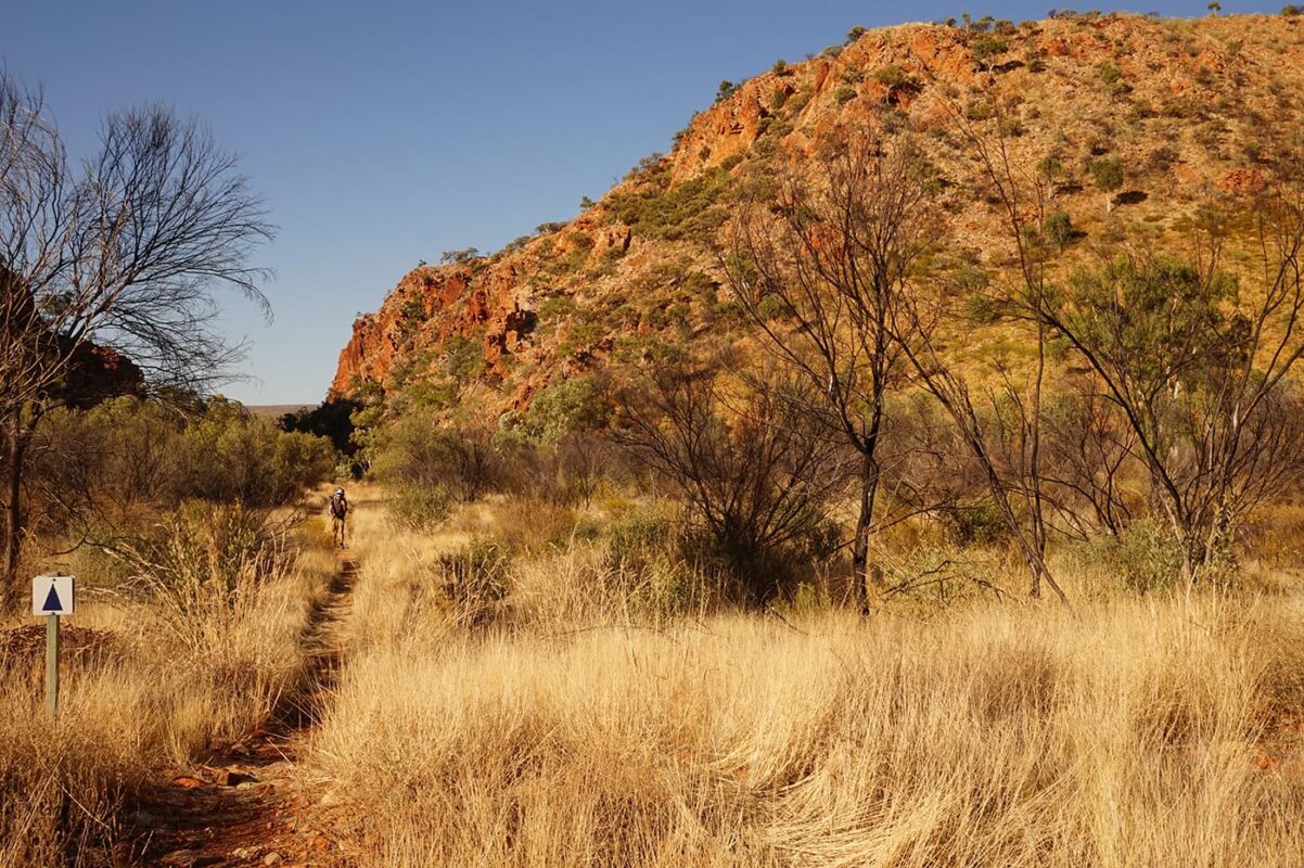
The biggest risk on the Larapinta Trail is the climate. This is an arid, hot desert area, so heat exhaustion, dehydration, and UV exposure are a real risk. You’ll mostly be hiking without tree protection, so a wide-brimmed hat should be considered for protecting your face and neck. Also, think about purchasing a sun hoody prior to getting on the trail.

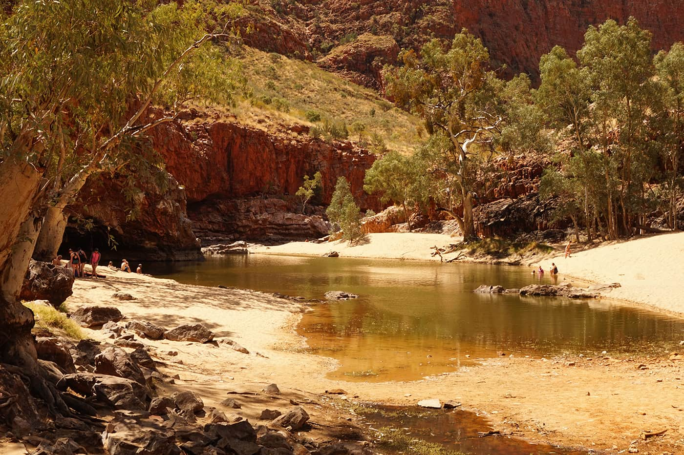
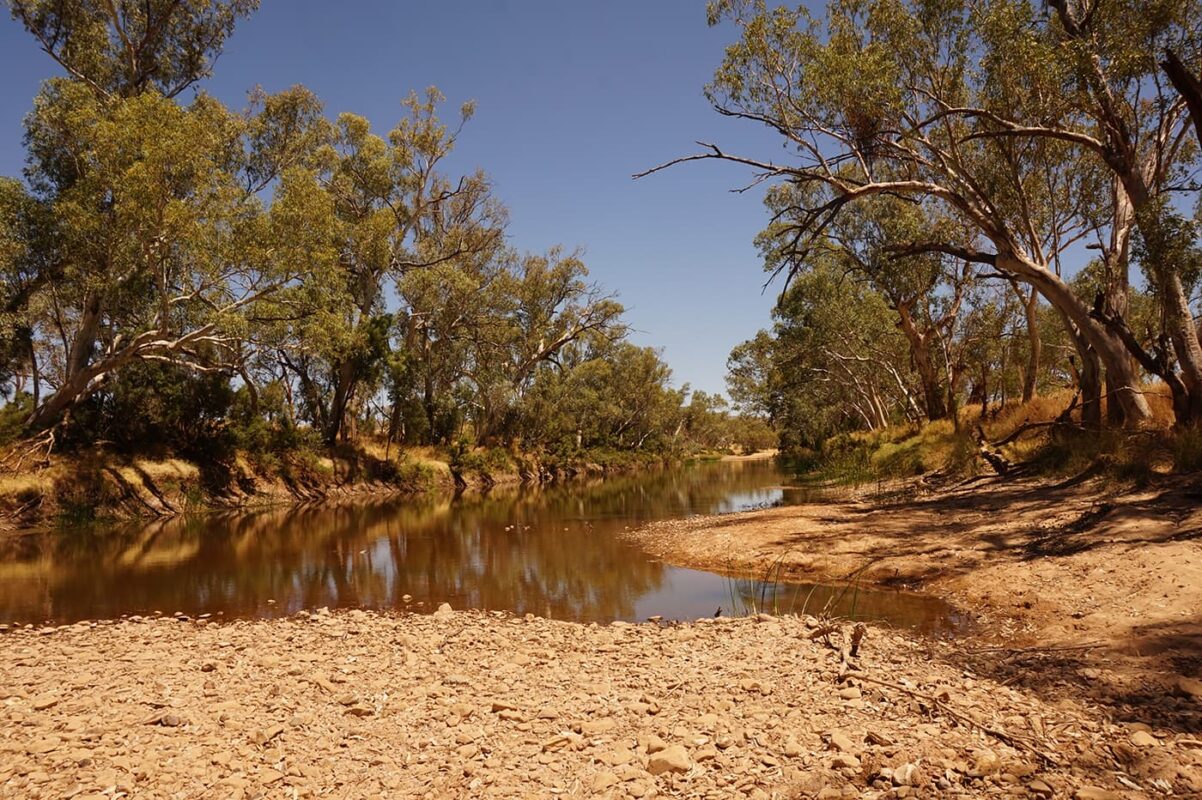
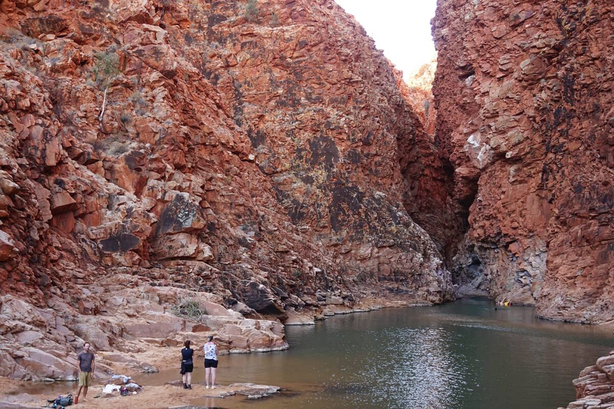
There are a lot of water points on the trail – in each of the campsites. But you must carry enough to last you between sections. Bear in mind that Section 9 is a 29km section without water.

More of a nuisance than a safety worry, flies are everywhere on the trail. They’re persistent, crawling into hikers’ eyes and mouths. Some tourists buy fly nets to protect their faces (available to buy in Alice Springs).

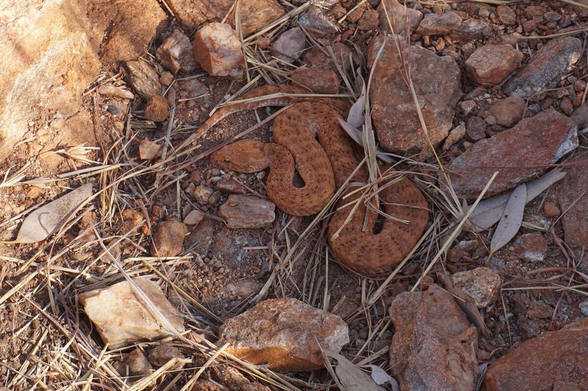
Snakes can be on the trail. They are something to consider, but not to panic about. Take a snake bandage in your First Aid Kit and learn how to use it beforehand. Dingoes are also on the trail, but will very rarely pose a risk. They might come into camp to steal any unsecured food, though – so make sure that you secure any food at camp.

Never camp under the river redgum eucalyptus trees – their branches can fall silently and without warning.

Although the road is never actually far away from the trail, if you need rescuing it can take between 2 and 12 hours. It is wise to carry a personal locator beacon, such as the Garmin inReach Mini 2, which is highly recommended by hikers who have tried and tested it on trails.

Always check the weather conditions, and bear in mind that big storms can roll in. You’ll prefer to be at camp during one of the Outback storms.

Always check the latest trail conditions. See here for updates.

Don’t forget to send your itinerary to someone you know. There is very limited phone signal on the trail. Beyond Wild Places states that you’ll get a phone signal in these spots:

  • Simpsons Gap (Telstra only)
  • Standley Chasm (Telstra only)
  • Brinkley Bluff (limited Telstra and Optus)
  • Ormiston Gorge (Optus only)

To read more about emergency planning on the Larapinta Trail, click here.

Good to know

Water resources: All campsites have water tanks. There are barely any water sources in between the water tanks, meaning that carrying a water purifier isn’t really necessary. Section 9, between Serpentine Chalet Dam and Ormiston Gorge, is a 29km stretch without a water tank. This section is usually split between 2 days, meaning that you will need to take enough water for camping for one night and cooking meals (approx 6 liters per person).

This trail is a wonderful mix of complete remoteness and tourist-filled gorges. Be prepared to be alone on the trail but then emerge to carparks of cars and daytrippers swimming. These gorges and waterholes are perfect for days off and relaxing in the sun if you need a break.

You must book your hike in advance on the Northern Territory Parks website here.

Route
Point to point
Highest point
1379m (4524 ft)

Want to submit a trail or make this page more complete?

Comments

Be the first one to comment on this trail!

Reply to this trail

Your email address will not be published. Required fields are marked *

Reply to this trail

Log in to comment on this trail
Always read the disclaimer

Terms of Use: important to all visitors on this website. We strive to publish high quality content and information on this website. However it’s always possible that we’re missing out on some crucial information. In spite of the fact that this route, associated GPS track (GPX and maps) were prepared under diligent research by the specified contributor and/or contributors, the accuracy of such and judgement of the author is not guaranteed. Therefore, hiking-trails.com and contributors are in no way liable for personal injury, damage to personal property, or any other such situation that might happen to individuals hiking or following this route. Should you choose to hike this trail, this is always at your own risk. Check out our guidelines for safety hiking and Leave No Trace principles at the hiking 101 page.

Download GPX

Join the community!

Login or create a FREE account 😊

With an account you can:

Download GPX files

Pin trails to your wishlist

Mark trails as hiked by you

Rate hiking trails

Comment on trails, blogs and gear reviews

Happy trails!
Login

Don't have an account yet? Register here