About the Kom-Emine

Balkan
country
Bulgaria
length
600 km(373 mi)
Type of trail
Thru-hike, Long-distance
difficulty

Difficulty is highly personal. Be aware of the weather conditions as bad weather turns easier trails in difficult trails especially in the mountains.

Moderate
accommodation

Lodging means a mix of hotels, hostels or AirBnB’s.

Lodging, Mountain huts, Wild camping
Elevation gain
18000 m(59055 ft)
terrain
Mountains, Forest
remoteness
Most of the time
Show more

The Kom-Emine is a long-distance hiking trail that crosses Bulgaria from west to east along the ridge of the Balkan mountain (Stara Planina). This trail, the Kom Emine is Bulgaria’s thru-hike and really a hidden gem among hikers. You’ll mostly hike through remote beautiful mountainous areas and experience the hospitality of the Bulgarian people.

Starting at Kom peak (2016m) and finishing at Cape Emine, where the mountain meets the Black Sea, the trail passes through various peaks with an altitude of more than 2000m with the majority of them located within the mountain’s gem, Central Balkan National Park.

Iskren Koev
Author

Iskren Koev

Iskren is a passionate hiker from Bulgaria. He has set up the Facebook group for the Kom-Emine, Bulgaria’s hidden gem and thru-hike to help hikers find each other and exchange experiences of this long-distance trail to promote the trail to the international community, provide detailed up-to-date info in English, help hikers find each other and exchange experiences of this long-distance trail.

View profile

The Trail

With its beautiful nature, good climate, a vast network of mountain huts that offer food and accommodation, an abundance of water sources, free shelters, picnic areas, and wild camping possibilities, Kom-Emine is a hiker’s paradise and still waiting to be discovered.

It is wild, mountainous, and secluded. Within the first 400km where the town of Kotel marks the beginning of the last part of the journey, the trail only goes through two small villages.

Kom-Emine marks the end of the E3 European long-distance path, linking the Atlantic Ocean to the Black Sea. The Bulgarian segment begins at Mount Kom (2016 m), near the Serbian border, and follows the Balkan Mountains (Stara Planina), covering almost 600 km to the Black Sea coast.

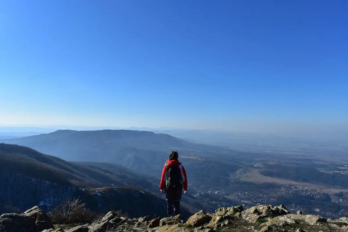
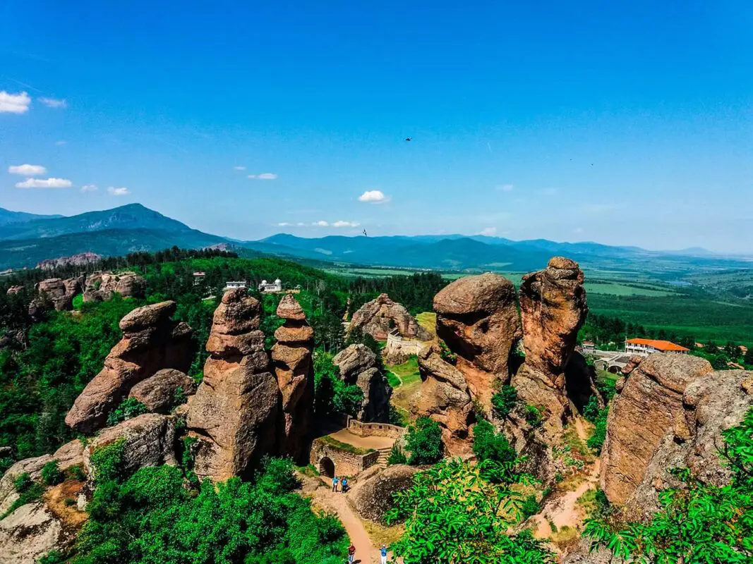
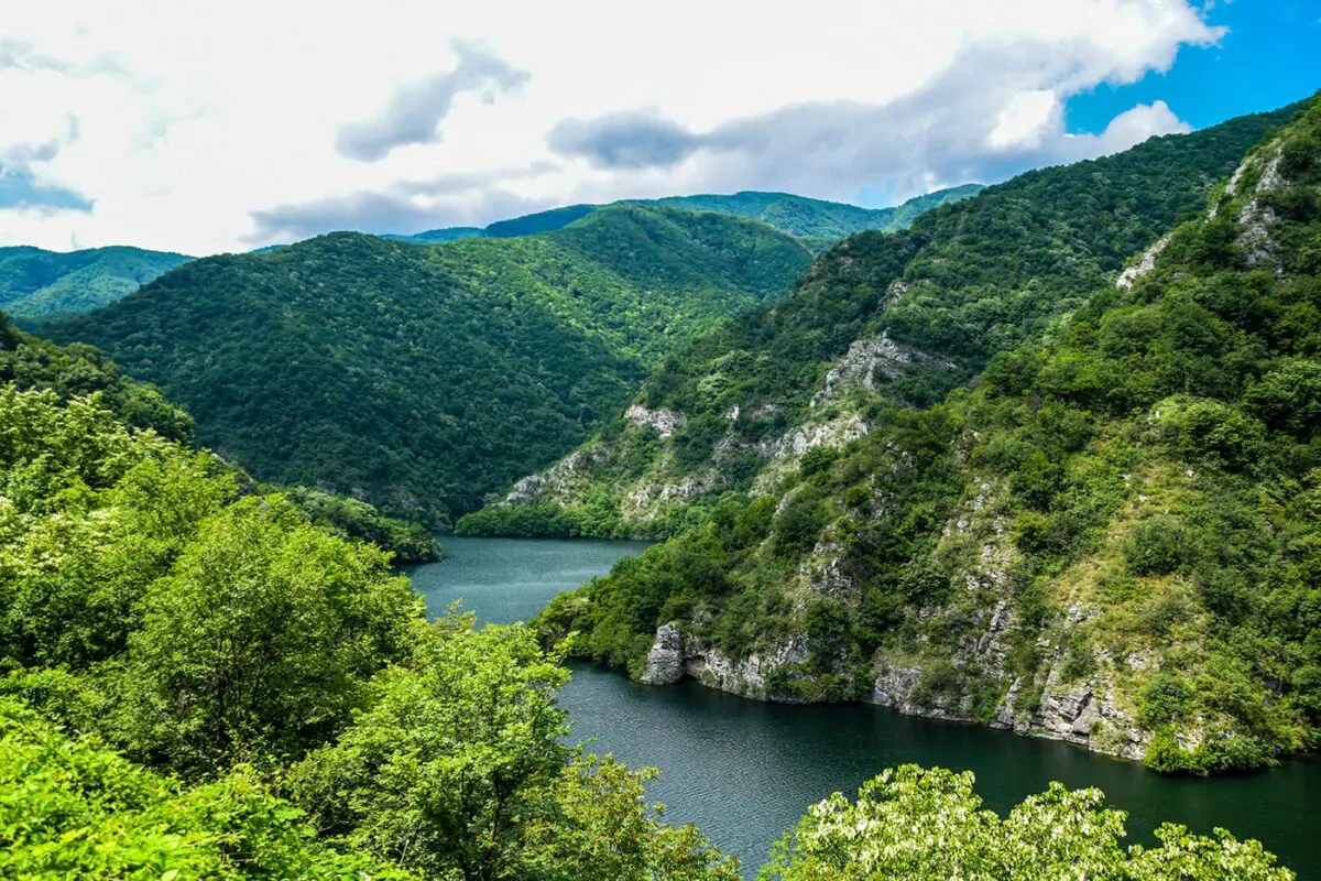
The trail climbs most major peaks in Bulgaria’s Balkan Mountains, including more than 20 peaks over 2000m, featuring some with alpine relief. The path ends at the Cape Emine lighthouse, the easternmost point of the Balkan Mountains, with Irakli Beach just a short hike away for a refreshing end of your thru-hike.

The Bulgarian section of the E3 route is marked with red markings and signposts. Exposed areas have winter markings with metal poles and azimuth plates. It crosses the town of Kotel and several villages like Lakatnik, Planinitsa, Daskotna, Dobra Polyana, Kozichino and Emona.

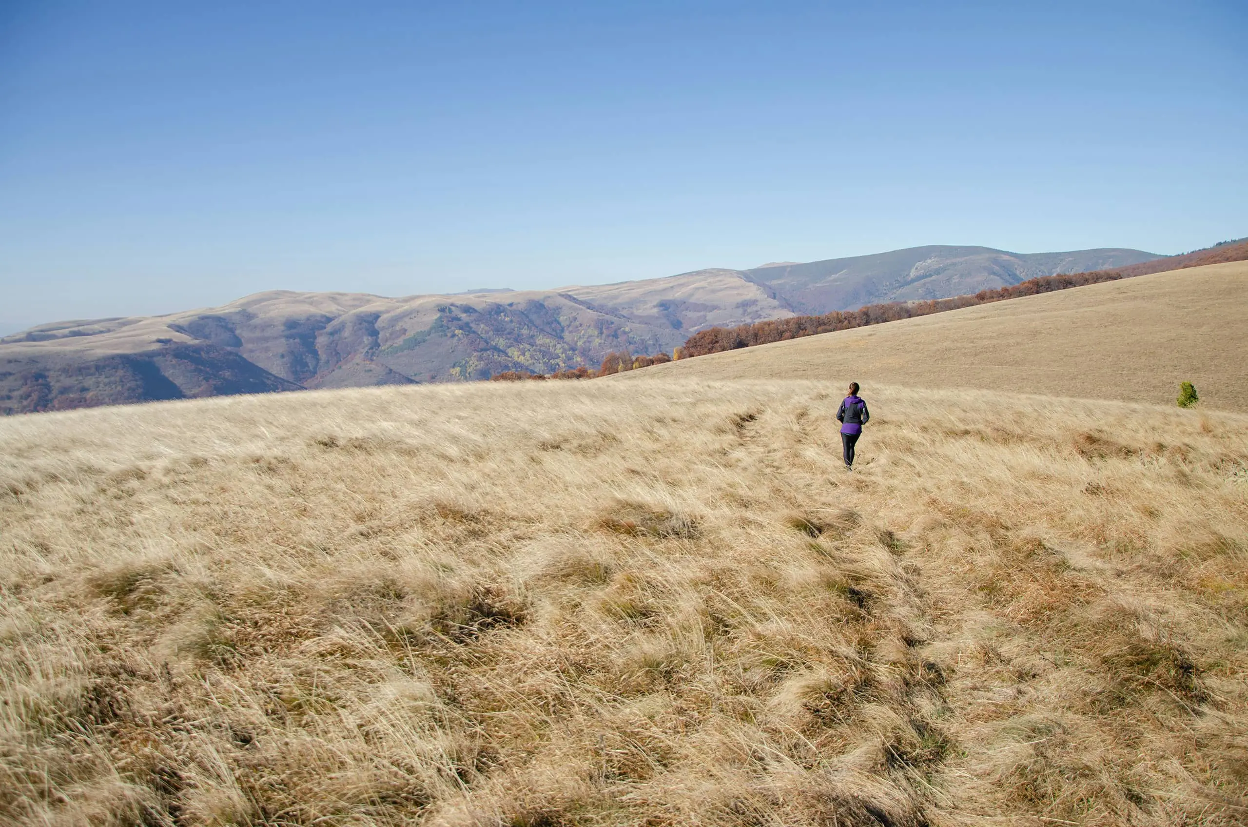
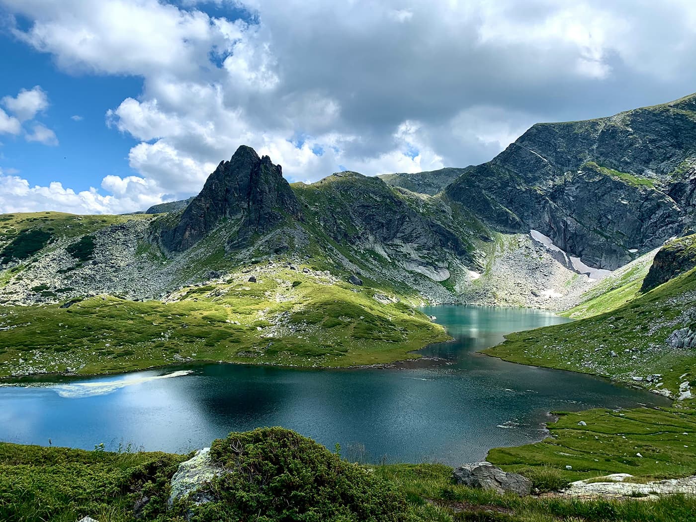
The Kom Emine typically takes 21 days for moderately trained hikers, with daily hikes lasting 8 to 15 hours, ending at huts or shelters. Some stages can be shortened for a less strenuous hike. Most of the route does not require special technical skills, but certain sections in the Central Balkan National Park are more challenging and suited for experienced hikers.

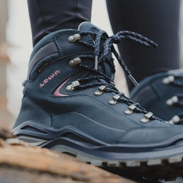
In summer, It’s totally OK for a first long-distance hike. The only somewhat technical section is equipped with cables and can also be avoided through an alternate route. The rest is mostly paths and dirt roads that do not require any previous experience. However, in winter, it is absolutely necessary to bring crampons, ice picks, ropes, and avalanche safety gear. Only attempt this if you have vast winter alpinism experience.

The trail passes through limited towns and villages, making grocery options scarce. Mountain huts and shelters offer some meals, and some even offer a wide variety. Some sections lack drinkable water sources, so it’s crucial to carry enough for the day.

Stages

Stage 1:

Kom-nova hut – Kom peak – Proboinica hut, 31 km | 19.3 miles (+1000m/-1500m)

Stage 2:

Proboinica hut – Trastenaya hut, 21 km | 13 miles (+860m/-720m)

Stage 3:

Trastenaya hut – Leskova hut, 21 km | 13 miles (+660m/-500m)

Stage 4:

Leskova hut – Vitinya dormitory, 35 km | 21.8 miles (+960m/-1280m)

Stage 5:

Vitinya dormitory – Kashana hut, 29.5 km | 18.3 miles (+1125m/-735m)

Stage 6:

Kashana hut – Benkovski hut, 26.5 km | 16.5 miles (+1280m/-1090m)

Stage 7:

Benkovski hut – Kozya Stena hut, 23 km | 14.3 miles (+1050m/-1030m)

Stage 8:

Kozya Stena hut – Dobrila hut, 25.3 km | 15.7 miles (+930m/-720m)

Stage 9:

Dobrila hut – Botev shelter, 14 km | 8.7 miles (+1080m/-810m)

Stage 10:

Botev shelter – Mazalat hut, 22.8 km | 14.2 miles (+1050m/-1600m)

Stage 11:

Mazalat hut – Buzludzha hut, 31.5 km | 19.6 miles (+1050m/-1250m)

Stage 12:

Buzludzha hut – Gramadliva hut/Himik hut, 30 km | 18.6 miles (+760m/-1220m)

Stage 13:

Gramadliva hut/Himik hut – Chumerna hut, 32 km | 19.9 miles (+1320m/-780m)

Stage 14:

Chumerna hut – Vratnik Pass, 25 km | 15.5 miles (+770m/-1030m)

Stage 15:

Vratnik Pass – town of Kotel, 28.5 km | 17.7 miles (+580m/-1180m)

Stage 16:

Town of Kotel – Varbitsa Pass, 25 km | 15.5 miles (+630m/-830m)

Stage 17:

Varbitsa Pass – Rishki Pass, 31 km | 19.3 miles (+1120m/-1030m)

Stage 18:

Rishki Pass – village of Daskotna, 27.5 km | 17 miles (+600m/-780m)

Stage 19:

Village of Daskotna – village of Kozichino, 41.3 km | 25.7 miles (+750m/-450m)

Stage 20:

Village of Kozichino – cape Emine, 39 km | 24.2 miles (+490m/-870m)

Accommodations

You are free to choose whether to stay at one of the many mountain huts along the trail or bring your own tent. Or you can do a little bit of both.
If you don’t feel like carrying camping gear, that’s alright too, but at some sections, you’ll have to be prepared to cover up to 35km to be able to reach the next hut. A few stages lack accommodation and you might have to get a taxi to the nearest town or book a stay at a guesthouse that picks you up from the trail. Most of the time a light sleeping bag and a mat will save you the hassle, as there are suitable bivouacking spots or shelters.

Wild camping is allowed anywhere but within the borders of Central Balkan National Park where it is only allowed next to some huts for a fee. But don’t worry, if you apply the general principles – camp late and away from people’s eyes, get up early, and leave no trace, you’ll be alright.

The busiest huts along the trail sometimes get booked for summer weekends for weeks, or even months ahead. Having a reservation is always advisable, and a must if you are a larger group. If you are on your own or a very small group, calling a day or two in advance to let the warden know you are coming and make sure there will be food for you is a very good idea during weekdays. On Fridays and Saturdays, a reservation is absolutely necessary even for a solo hiker. They are usually done by phone, Viber, or Facebook Messenger.

Best time of the year

July and August are usually the best months. The main challenge during that time is the heat and the midges in the lower eastern part of the trail. June is usually a bit more rainy and muddy and the chance you could get stuck somewhere for days due to bad weather is higher. In September you have shorter days and fewer water sources as some of them tend to dry up later in the summer.

Warning: Hiking Kom-Emine in late autumn/winter/early spring (November to May) is only doable by hikers with vast winter experience at high altitudes, proper alpine equipment, and good knowledge of the specific terrain.

Safety & Gear

During the summer season, the trail is not technically difficult and does not require any special training or equipment. The only technical section, Dobrila hut to Botev shelter (only about 5km of it), is equipped with cables at the most challenging spots and is not recommended to people with a fear of heights, cyclists, or if there is bad weather. It does require concentration and steady feet. It can however be avoided by an alternative route through Levski hut.

The main hazards you might encounter along the trail are getting lost, thunderstorms, thick fog, hail, freezing temperatures at the upper sections or summer heat at the lower ones, dehydration, ticks and other stinging insects, and shepherd dogs. Here, as anywhere else, general research on the trail and planning each section are essential.

Awareness of the terrain and distance to your next hut and water source are a must. Keep an eye on the weather forecast and know when to avoid exposed sections or call it a day.

In the lower sections, start as early as possible and move fast to avoid the burning afternoon hours. Cover your head and drink plenty of water. Always carry a GPS device with extra batteries.

Good to know

The Kom-Emine trail was known in the past as “the trail of the friendship.” Often times people that meet each other on the trail and hike sections of it together remain friends for life. There is a very old tradition that every hiker needs to be aware of. At the top of Kom Peak – the starting point of the trail, one has to pick two small stones and carry them all the way to the end. Once at Cape Emine, you throw one of these stones into the sea, and you keep the other one as a reminder of your journey.

Route
Point to point
Highest point
2376m (7795 ft)

Guidebooks

Guidebook cover Kom Emine trail

Kom Emine

View guidebook

Want to submit a trail or make this page more complete?

Comments

Be the first one to comment on this trail!

Reply to this trail

Your email address will not be published. Required fields are marked *

Reply to this trail

Log in to comment on this trail
Always read the disclaimer

Terms of Use: important to all visitors on this website. We strive to publish high quality content and information on this website. However it’s always possible that we’re missing out on some crucial information. In spite of the fact that this route, associated GPS track (GPX and maps) were prepared under diligent research by the specified contributor and/or contributors, the accuracy of such and judgement of the author is not guaranteed. Therefore, hiking-trails.com and contributors are in no way liable for personal injury, damage to personal property, or any other such situation that might happen to individuals hiking or following this route. Should you choose to hike this trail, this is always at your own risk. Check out our guidelines for safety hiking and Leave No Trace principles at the hiking 101 page.

Download GPX

Join the community!

Login or create a FREE account 😊

With an account you can:

Download GPX files

Pin trails to your wishlist

Mark trails as hiked by you

Rate hiking trails

Comment on trails, blogs and gear reviews

Happy trails!
Login

Don't have an account yet? Register here