About the Jordan Trail

country
Jordan
length
675 km(419 mi)
Type of trail
Thru-hike, Long-distance
difficulty

Difficulty is highly personal. Be aware of the weather conditions as bad weather turns easier trails in difficult trails especially in the mountains.

Difficult
accommodation

Lodging means a mix of hotels, hostels or AirBnB’s.

Camping, Lodging
Elevation gain
25000 m(82021 ft)
terrain
Desert, Forest, Hills
remoteness
Most of the time
Show more

The Jordan Trail is a long-distance hiking route stretching across Jordan, from Um Qais in the north to Aqaba in the south. It is 40 days of trekking over more than 650 kilometers, passing through 52 villages and towns. The trail is the perfect way to see Jordan’s many landscapes, including the rolling wooded hills in the north, rugged wadis and cliffs overlooking the Jordan Rift Valley, the carved rock of Petra, the sands and mountains of Wadi Rum, and the waters of the Red Sea.

Walking the Jordan Trail feels like a journey through the center of Jordan’s history and culture. As you travel the length of the country, you get to peel back the layers of its culture, taste different cuisines, and meet locals by sleeping in their homestays. You also learn about Jordan’s history and the various civilizations that have left their marks on the land.

women in blue smiling at camera
Editor

Katie Mitchell

After a whirlwind of 8 years on the road (and trail!), Katie has hiked the Camino Frances, the Peaks of the Balkans, the Fisherman’s Trail, and extensively in the United States. She is an avid trail runner and now lives in Colorado where she plays in the mountains in her free time. You can follow her adventures on Instagram.

View profile

The Trail

Moving through Jordan on foot traces back to ancient times. For thousands of years, people walked these trails for business and communication with distant cultures. However, recently outdoor recreation and adventure travel have boomed in Jordan, with many travel agencies connecting both local and international hikers to the country’s nature.

In July 2015, the Jordan Trail Association (JTA) was formed to develop and maintain the trail. They aimed to make the trail more accessible by building strong connections and providing comprehensive information. By mid-2016, the JTA received a grant from USAID, support from the Jordan Tourism Board, contributions from the private sector, and help from local volunteers. The Jordan Trail boosts economic development in local communities by creating jobs and it promotes low-impact tourism, fostering an outdoor culture and environmental awareness.

Starting in the ancient city of Um Qais, this trail goes through the hills of northern Jordan. Surprisingly green, you’ll pass through olive groves, small villages, and dense forests. This area is rich in history, with ruins from the Roman and Byzantine eras. The section leads you to the Ajloun Castle, a 12th-century fortress with panoramic views of the countryside.

From Ajloun, the trail continues south through the Ajloun Forest Reserve. You’ll trek through oak and pine forests and pass traditional Jordanian villages where you will be treated to local hospitality. From here, you’ll hike toward Fuheis, where the terrain will turn into more valleys and hills.

Leaving Fuheis, you hike through the central highlands, diving into the Jordan Rift Valley. This section has stunning views of the Dead Sea and the surrounding mountains and passes through agricultural land. You’ll also go to the ancient city of Madaba, famous for its Byzantine mosaics in this section. Finally, you’ll end up in the hot springs of Wadi Zarqa Ma’in, a perfect spot to rest after hiking in the desert for so long already.

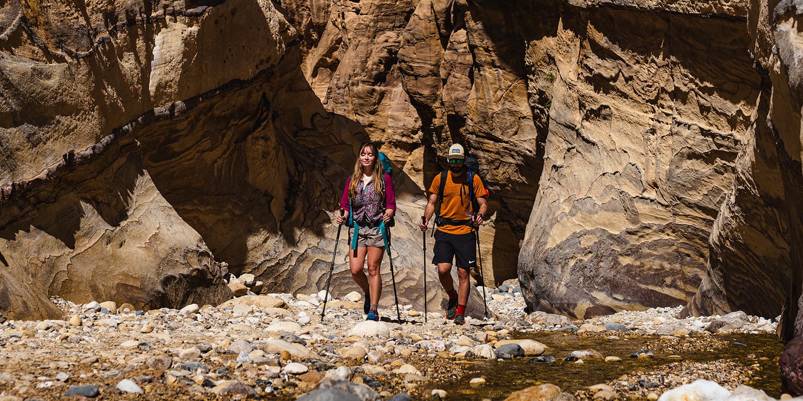
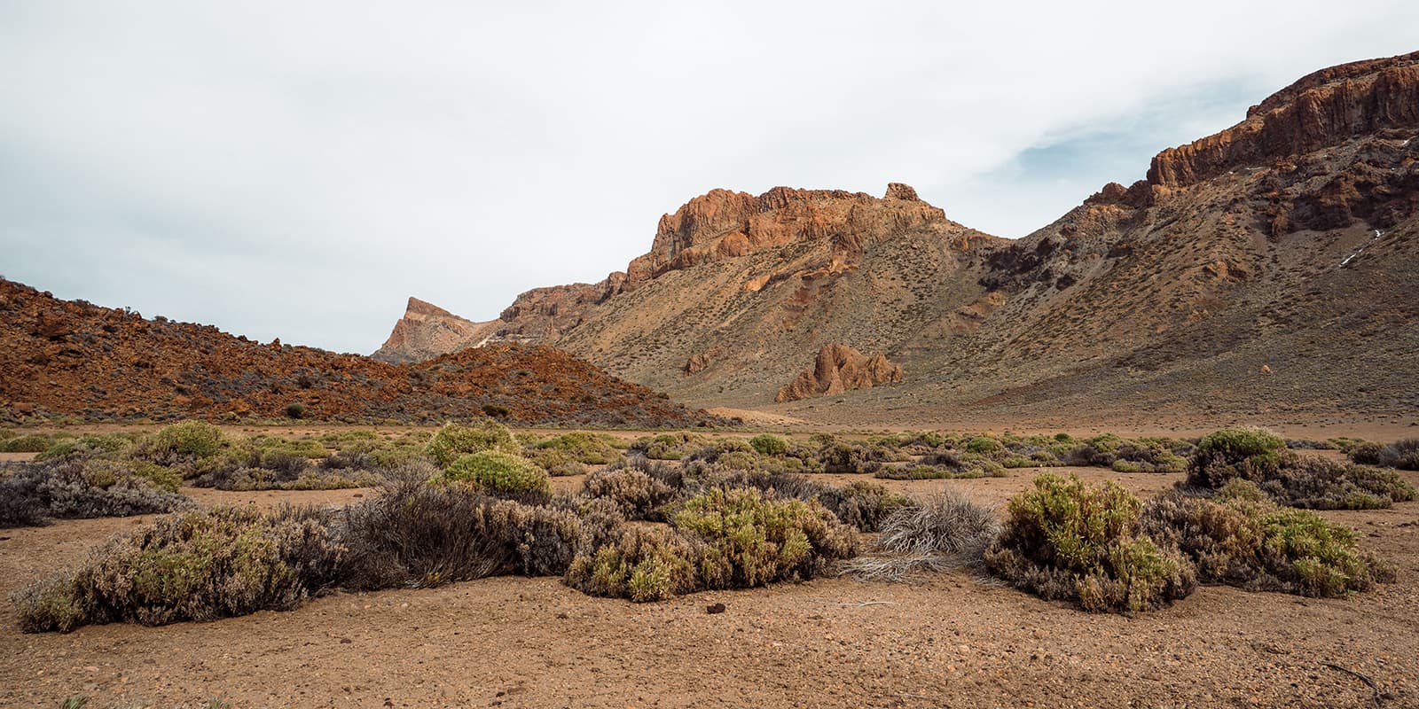
As you move on from the hot springs, you’ll hike to the historic city of Karak. On the way, you’ll walk across arid landscapes, deep gorges, and high plateaus. The trail will follow the ancient King’s Highway, passing by the famous Mujib Biosphere Reserve.

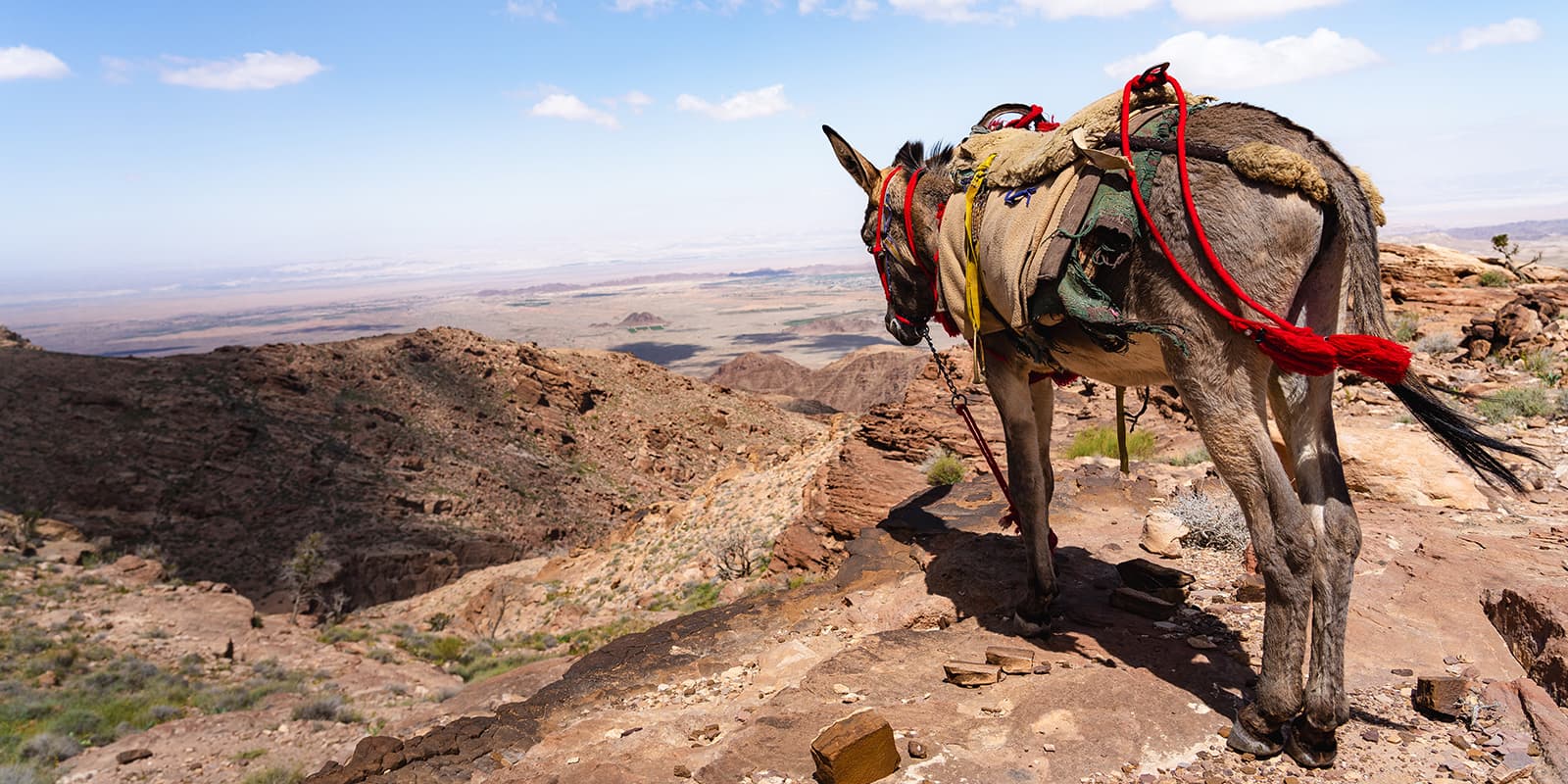
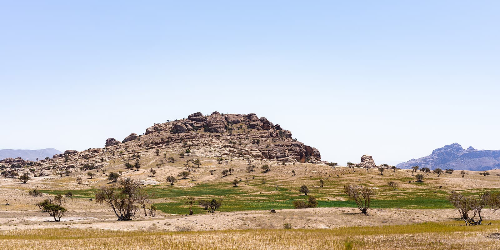
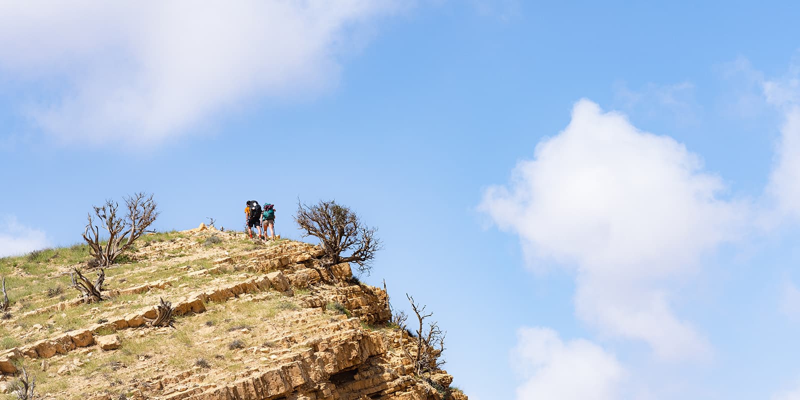
From Karak, you continue south through the Jordanian Highlands. This section is challenging because of its steep climbs and descents. However, the difficulty isn’t without reward. You’ll also pass through small villages and Bedouin camps, which will give you a glimpse into the traditional lifestyle of the local people, as well as finish in the Dana Biosphere Reserve, Jordan’s largest nature reserve.

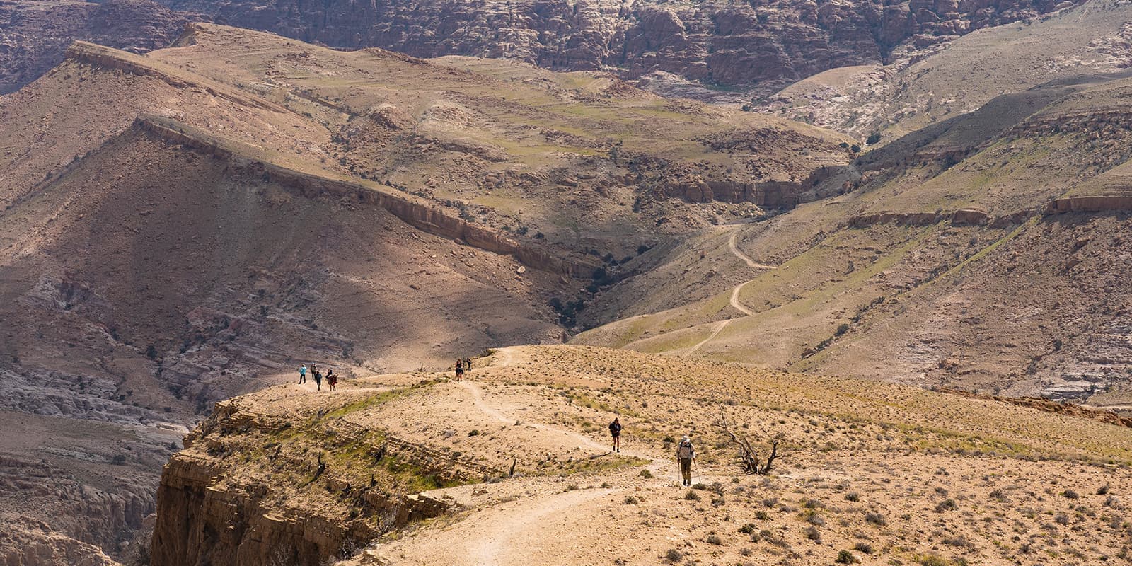
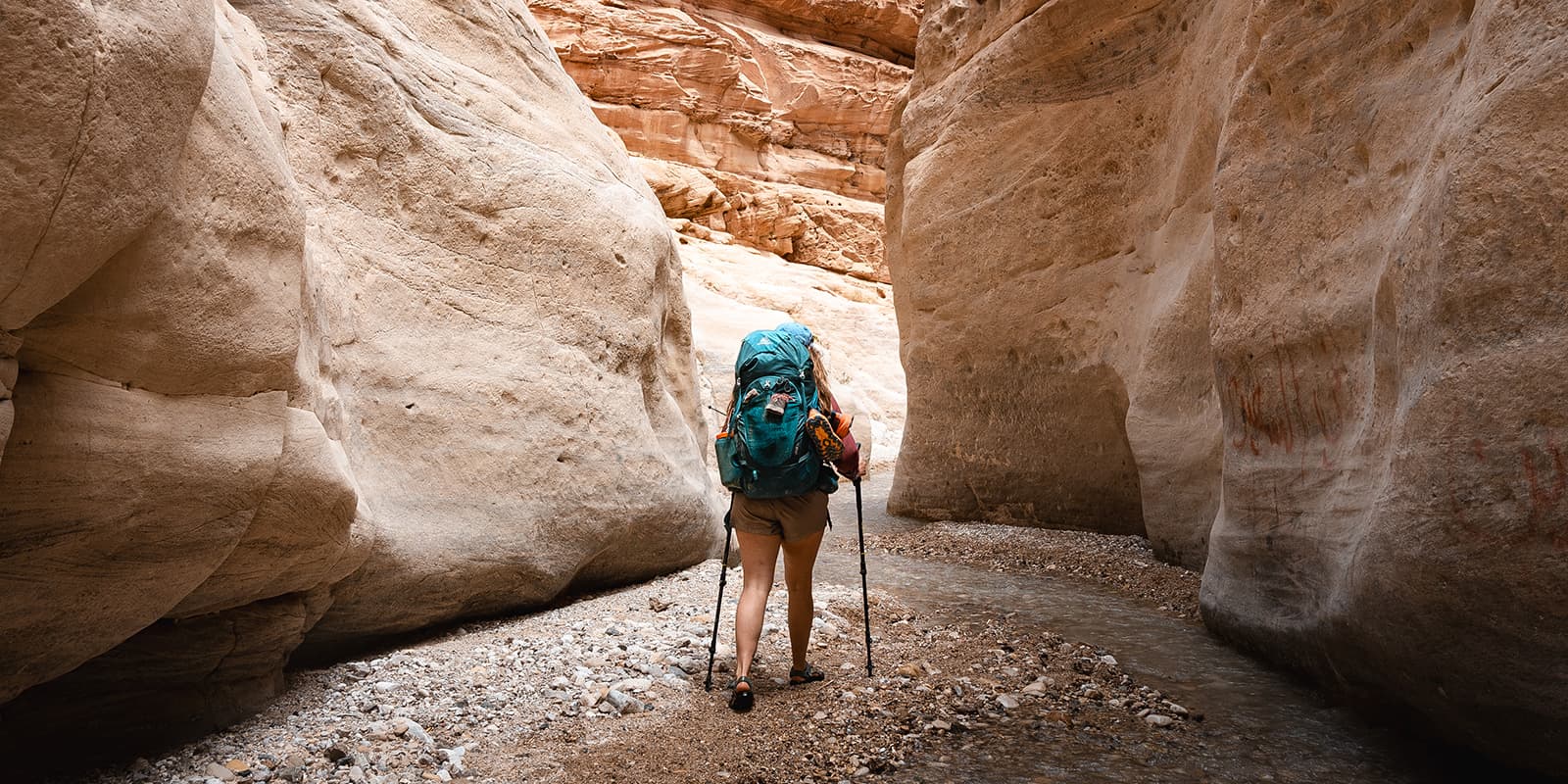
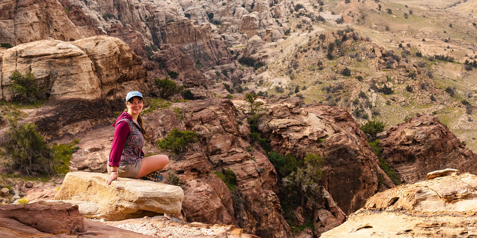
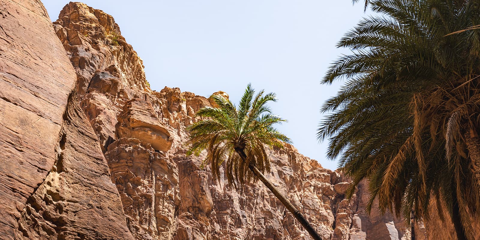
One of the most scenic sections, this part of the trail takes you from Dana to the iconic city of Petra. You hike through the stunning Wadi Feynan with palm trees waving in the air above you, as you pass copper mines and beautiful rock formations. The trail leads you through the remote Sharah Mountains. As you approach Petra, the landscape becomes more rugged, with narrow canyons and towering cliffs. This section ends at the entrance to Petra, where you can explore the ancient Nabatean city carved into the rock.

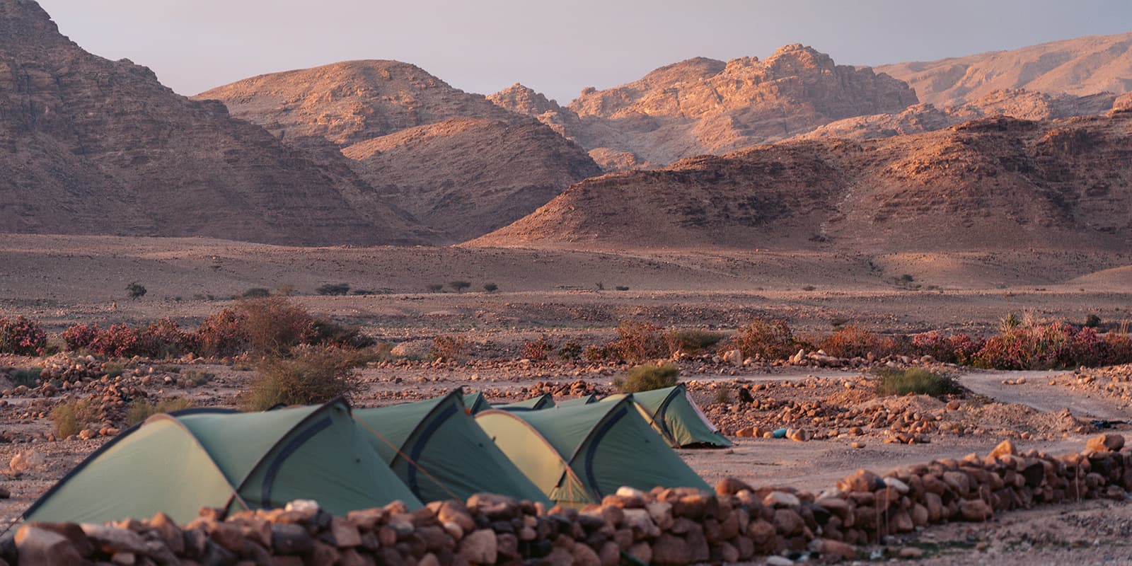
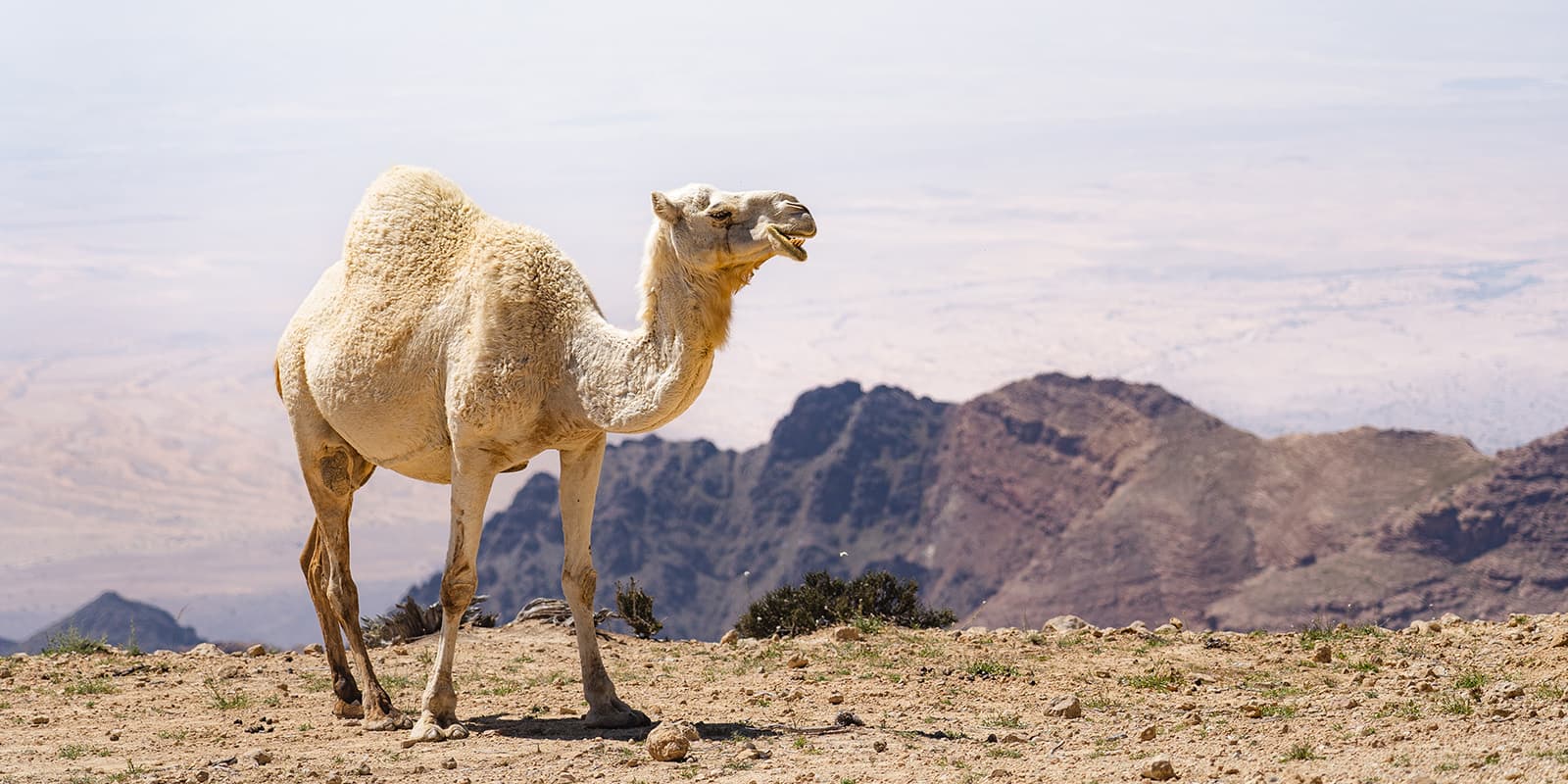
From Petra, you head further south into the vast desert landscapes of Wadi Rum. This section is known for its wide-open spaces, dramatic sandstone mountains, and red sand dunes. You’ll see more Bedouin camps and ancient rock carvings here. Wadi Rum, also known as the Valley of the Moon, is a UNESCO World Heritage site and a highlight of the Jordan Trail. You’ll feel the silence and beauty of the desert, with opportunities for star-gazing. This is also a good place to plan an extra day for a camel ride if that’s exciting to you!

The final section of the Jordan Trail takes you from the desert of Wadi Rum to the coast of Aqaba. You hike through arid desert landscapes, passing through canyons and over rocky terrain. As you approach Aqaba, the landscape changes to coastal plains. The trail ends at the shores of the Red Sea, where you can relax on the beach and enjoy the vibrant marine life.

Stages

There are eight main sections of the Jordan Trail that equal about 40 stages in total. These will be divided up as you see fit with your guide.


  • Section 1: Um Quais – Ajloun, 80 km | 50 mi 
  • Section 2: Ajloun – As-Salt, 62.4 km | 38.8 mi
  • Section 3: Salt – Wadi Zarqa Ma’in, 84.4 km | 52.4 mi
  • Section 4: Three Wadis – Karak, 75 km | 46.6 mi
  • Section 5: Al-Karak – Dana, 83.2 km | 51.7 mi
  • Section 6: Dana – Petra, 84.5 km | 52.5 mi
  • Section 7: Petra – Wadi Rum, 90.6 km | 56.3 mi
  • Section 8: Wadi Rum – Aqaba, 112 km | 70 mi

Accommodations

For the most part, you’ll camp along the trail. Depending on your guide or if you book a package, this camping will look different than usual. It’s possible that you’ll have meals provided by a traveling kitchen and will have a portable bathroom set up (think squatty-potty). However, you will still be sleeping in a tent or under the stars on your mattress. There may be options to stay in homestays with Bedouin locals along the way as well! This will be something you can decide as you book your trail.

Best time of the year

The best time to hike the Jordan trail depends on which direction you hike. You’ll want to be in the southern areas in February and March, while the northern areas are okay as late as April. You can also hike the trail in the fall from September to November, although September is still very hot.

Safety & Gear

The Jordan Trail is a beautiful way to see this country. It is not, however, without risks. When hiking for such a long time in the desert, you’ll need to work on preparations for a while ahead of time. There are guided tours of the trail that you can book on the official Jordan Trail website. Booking one of these tours will mean you have the correct GPX paired with local knowledge of the area, water sources, safe places to sleep, and someone who speaks the language (if you do not speak Arabic). There are also options for larger tour groups in your native language and for shorter sections of the trail.

Make sure to pack the right clothing for the trail. For sun protection alone, you will need a sun hoodie, a large hat and sunglasses, and ample sunscreen. A potentially unexpected item people are glad they packed is water shoes for when you hike through the wadis.

The trail has lots of venomous spiders and scorpions, as well as many dogs. Check your boots every morning and under the rocks where you plan to sit. You’ll also want to always have a trekking pole with you, not only for sturdy footing but for dog protection! There are also a lot of camel packs along the way, but they’re fairly peaceful and will leave you alone if you create a lot of space between them and yourself as you hike.

Additionally, keep an eye on the political climate of the area. Because of the war in Israel and Palestine, it is advised to stay out of neighboring areas for your safety. Especially the final sections near the Israeli border.

Good to know

Remember that to enter Petra and the Dana Biosphere Reserve you’ll need a ticket, so reserve them ahead of time! Your tour guide should take care of this, but it’s something to check if it is included when you’re choosing your package.

For women, this is a country where you will want to cover up and dress modestly, covering your shoulders and knees. When you’re out on the trail, there’s more leeway for a tank top or running shorts, but you’ll want a more covered option for when you enter Bedouin communities and villages to be respectful. You may bring a pashmina or scarf to cover your hair as well. It’s not expected of visitors, but may help reduce attention in larger cities.

ROUTE
POINT TO POINT
HIGHEST POINT
1300M (4265 FT)

Want to submit a trail or make this page more complete?

Comments

Be the first one to comment on this trail!

Reply to this trail

Your email address will not be published. Required fields are marked *

Reply to this trail

Log in to comment on this trail
Always read the disclaimer

Terms of Use: important to all visitors on this website. We strive to publish high quality content and information on this website. However it’s always possible that we’re missing out on some crucial information. In spite of the fact that this route, associated GPS track (GPX and maps) were prepared under diligent research by the specified contributor and/or contributors, the accuracy of such and judgement of the author is not guaranteed. Therefore, hiking-trails.com and contributors are in no way liable for personal injury, damage to personal property, or any other such situation that might happen to individuals hiking or following this route. Should you choose to hike this trail, this is always at your own risk. Check out our guidelines for safety hiking and Leave No Trace principles at the hiking 101 page.

Download GPX

Join the community!

Login or create a FREE account 😊

With an account you can:

Download GPX files

Pin trails to your wishlist

Mark trails as hiked by you

Rate hiking trails

Comment on trails, blogs and gear reviews

Happy trails!
Login

Don't have an account yet? Register here