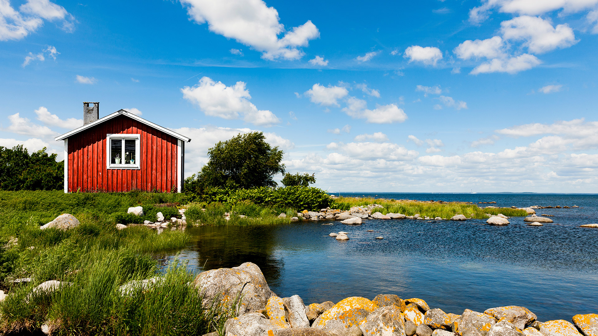
Red house near lake Sweden

High Coast Trail

Höga Kustenleden

About the High Coast Trail

country
Sweden
length
135 km(84 mi)
Type of trail
Long-distance
difficulty

Difficulty is highly personal. Be aware of the weather conditions as bad weather turns easier trails in difficult trails especially in the mountains.

Moderate
accommodation

Lodging means a mix of hotels, hostels or AirBnB’s.

Camping, Lodging, Shelters, Wild camping
Elevation gain
3162 m(10374 ft)
terrain
Coastal, Forest
remoteness
Some of the time
Show more

The 135-kilometer High Coast Trail, or Höga Kustenleden, stretches along the entire World Heritage Site that shares its name. It starts in Hornöberget in the south and ends in Örnsköldsvik in the north. The trail is a unique mix of coast and forest that fulfills your dreams of unplugging for a week.

The trail goes through Skuleskogen National Park, has views of the High Coast Archipelago, and spends a lot of time in the varied boreal, birch, and aspen forests that are so common in the northern region of Europe. Additionally, you’ll have the option to hike the trail in either direction, depending on your plans.

Stiina Kristal

Stiina Kristal

Stiina is an IML-qualified mountain leader and an experienced long-distance hiker. Together with her partner Kris, they love to explore trails all around the world, learning more about themselves with every adventure.

View profile

The Trail

The trail runs through the High Coast, a UNESCO World Heritage site famous for its unique landscape shaped by glaciers. Starting at Hornöberget in the south and ending up in Örnsköldsvik in the north, it winds through forests, cliffs, and lakes. The High Coast Trail is split into sections, each with its own vibe and level of difficulty. It’s well-marked and has plenty of spots to rest, shelters, and campsites, making for an easy and comfortable hike.

You’ll find that the trail has just the right amount of variation to keep you from getting bored, it has actually been listed as one of Sweden’s 12 Signature Hiking Trails in the past few years!

The trail’s got something for everyone, whether you’re a newbie or a seasoned hiker. Some parts are easy with flat paths, while others push up the challenge with steep climbs and rough terrain.

How to Get There

Y-buss operates daily services from Stockholm, with a stop at Hornöberget, which is the beginning of the High Coast Trail. For local transportation within the region, Länstrafiken Din Tur is available. Train services to the area are provided daily from Stockholm by SJ and Norrtåg. For those driving, parking facilities are available at Hotell Höga Kusten, located conveniently at the trail’s starting point at Hornöberget. When you end the hike, the most convenient option for return transport is by bus.

Stages

This trail is 135 kilometers and divided into 7 stages, perfect for a week outside. There will be shelters at the end of each stage. However, if you need to modify the stages, you have the chance to do so by camping.

Stages of the High Coast Trail

Stage 1:

Hornöberget – Lövvik, 11 km | 6.8 mi

Stage 2:

Lövvik – Gavik, 23.7 km | 14.7 mi

Stage 3:

Gavik – Lappudden, 9.4 km | 5.8 mi

Stage 4:

Lappudden – Ullånger, 14.6 km | 9.1 mi

Stage 5:

Ullånger – Skuleberget, 20.8 km | 12.9 mi

Stage 6:

Skuleberget – Köpmanholmen, 24.2 km | 15 mi

Stage 7:

Köpmanholmen – Örnsköldsvik, 31.6 km | 19.6 mi

Accommodations

Each segment of the trail offers at least one opportunity for sheltered overnight stays, from basic cabins that provide a rustic experience to more comfortable serviced hostels and hotels for those who want more amenities. Additionally, Sweden’s right to roam (Allemansrätten) allows for wild camping in natural areas, offering you the freedom to set up camp in the wilderness.

Best time of the year

The optimal period for hiking the High Coast Trail is during the summer months, from June to September. This season offers the most favorable weather conditions, with longer daylight hours, milder temperatures, and the natural landscape in full bloom, making the overall experience better.

Safety & Gear

Prepare for the trek by training to be sure you’ll be ready for the terrain. You can research what to expect by using the guidebook or GPX to have a further understanding of each day’s demands.

We also recommend that you share your itinerary with someone you trust and alert them if something changes. You’ll want to also bring lots of water and snacks! When you’re on an exposed trail like this, there’s a higher chance of dehydration, so be sure to fill up at every chance you get.

Good to know

Many new sections and side trails on the Höga Kustenleden were added to the original route during the summer of 2023. Some maps and information on the official website may still be outdated – follow the signs out in nature.

Route
Point to point
Highest point
250m (820 ft)

Want to submit a trail or make this page more complete?

Always read the disclaimer

Terms of Use: important to all visitors on this website. We strive to publish high quality content and information on this website. However it’s always possible that we’re missing out on some crucial information. In spite of the fact that this route, associated GPS track (GPX and maps) were prepared under diligent research by the specified contributor and/or contributors, the accuracy of such and judgement of the author is not guaranteed. Therefore, hiking-trails.com and contributors are in no way liable for personal injury, damage to personal property, or any other such situation that might happen to individuals hiking or following this route. Should you choose to hike this trail, this is always at your own risk. Check out our guidelines for safety hiking and Leave No Trace principles at the hiking 101 page.

Download GPX

Join the community!

Login or create a FREE account 😊

With an account you can:

Download GPX files

Pin trails to your wishlist

Mark trails as hiked by you

Rate hiking trails

Comment on trails, blogs and gear reviews

Happy trails!
Login

Don't have an account yet? Register here