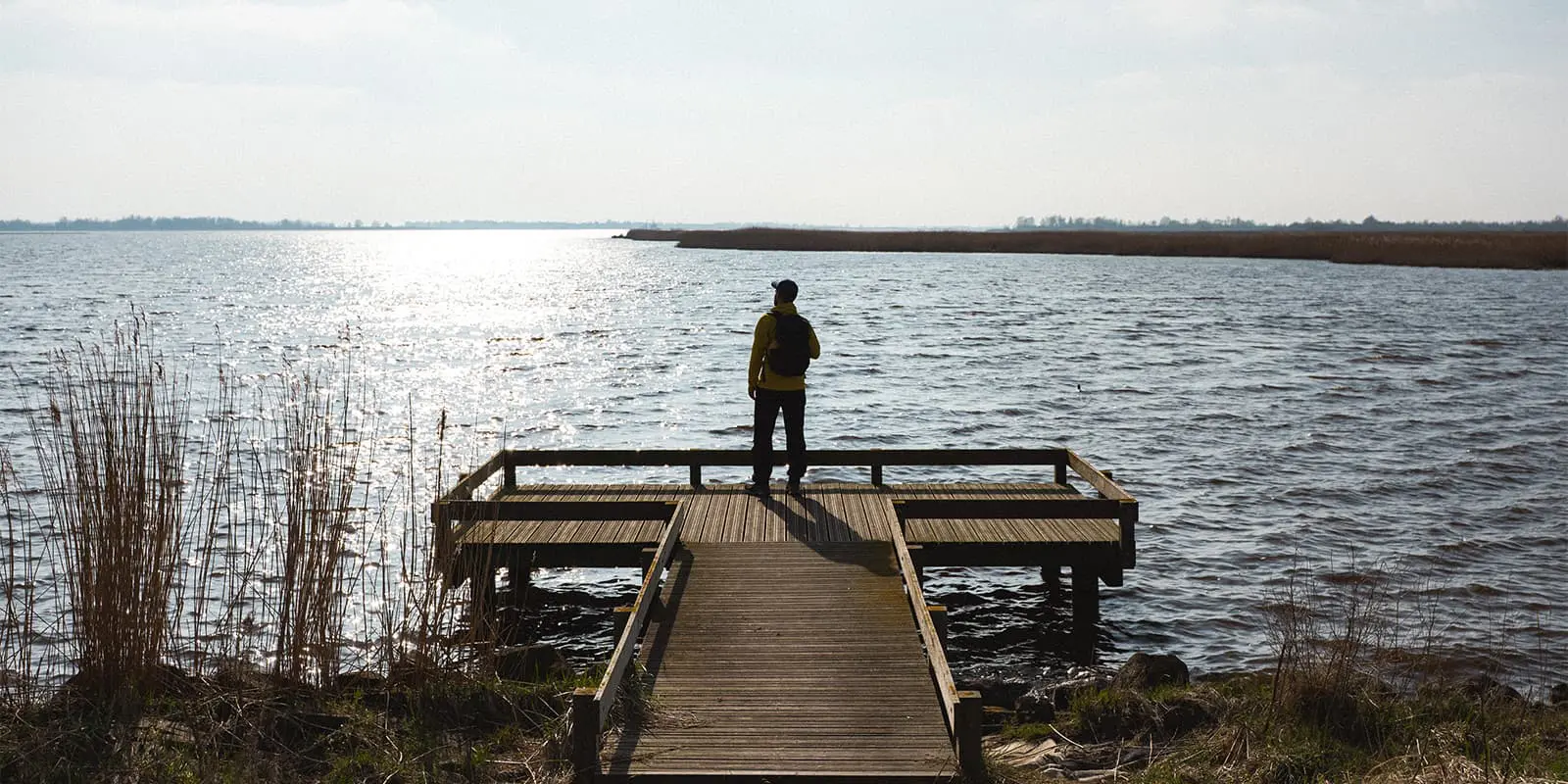
About the Het Ziltepad

country
Netherlands
length
250 km(155 mi)
Type of trail
Long-distance, Pilgrimage
difficulty

Difficulty is highly personal. Be aware of the weather conditions as bad weather turns easier trails in difficult trails especially in the mountains.

Easy, Moderate
accommodation

Lodging means a mix of hotels, hostels or AirBnB’s.

Lodging, Shelters
Elevation gain
220 m(722 ft)
terrain
Coastal, Countryside, Flat, Urban
remoteness
Some of the time
Show more

Het Ziltepad (Dutch for “Salty Path”) is a new long-distance trail along the far northern coast of the Netherlands, guiding you through the provinces North Holland, Friesland and Groningen.

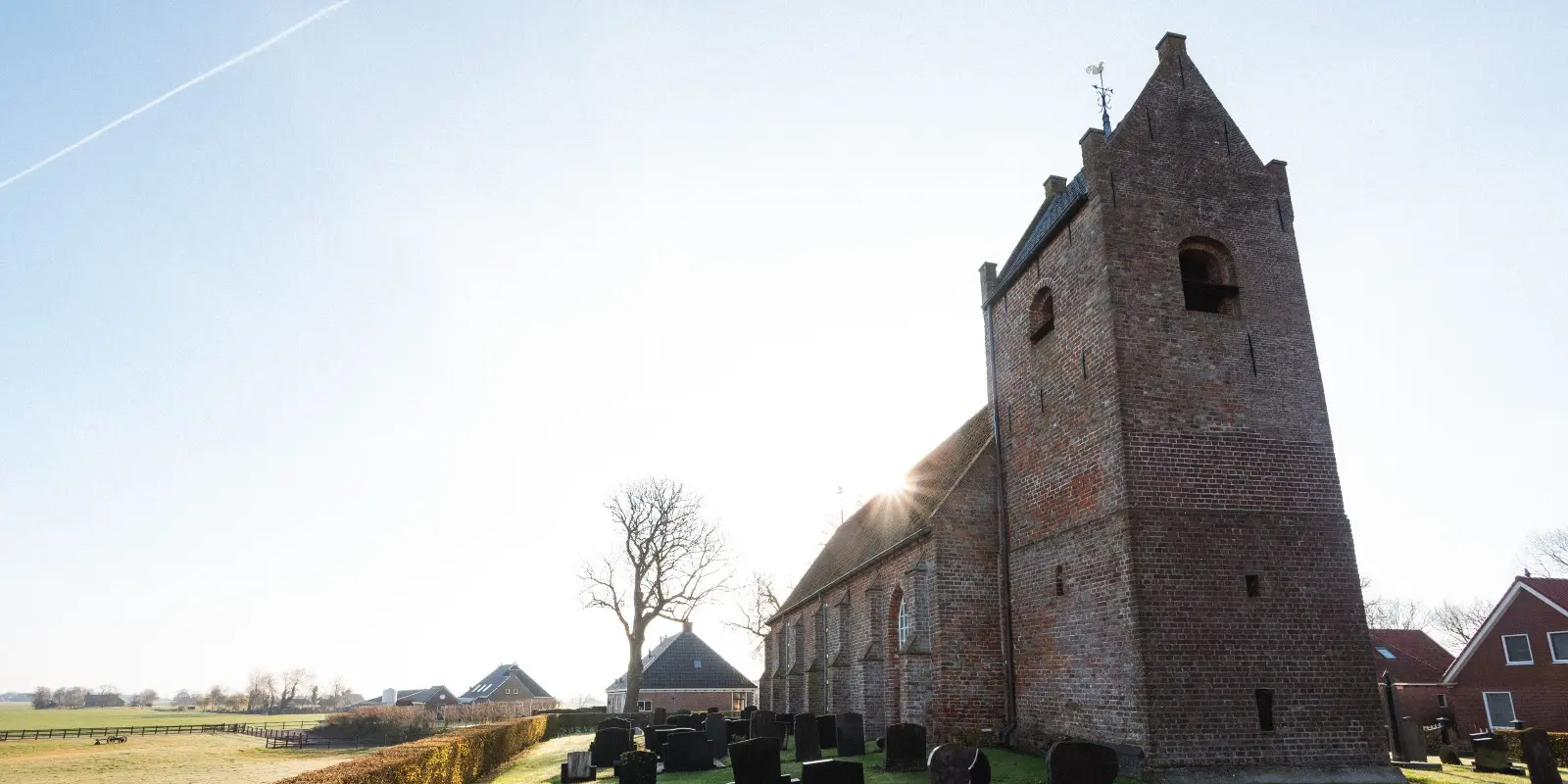
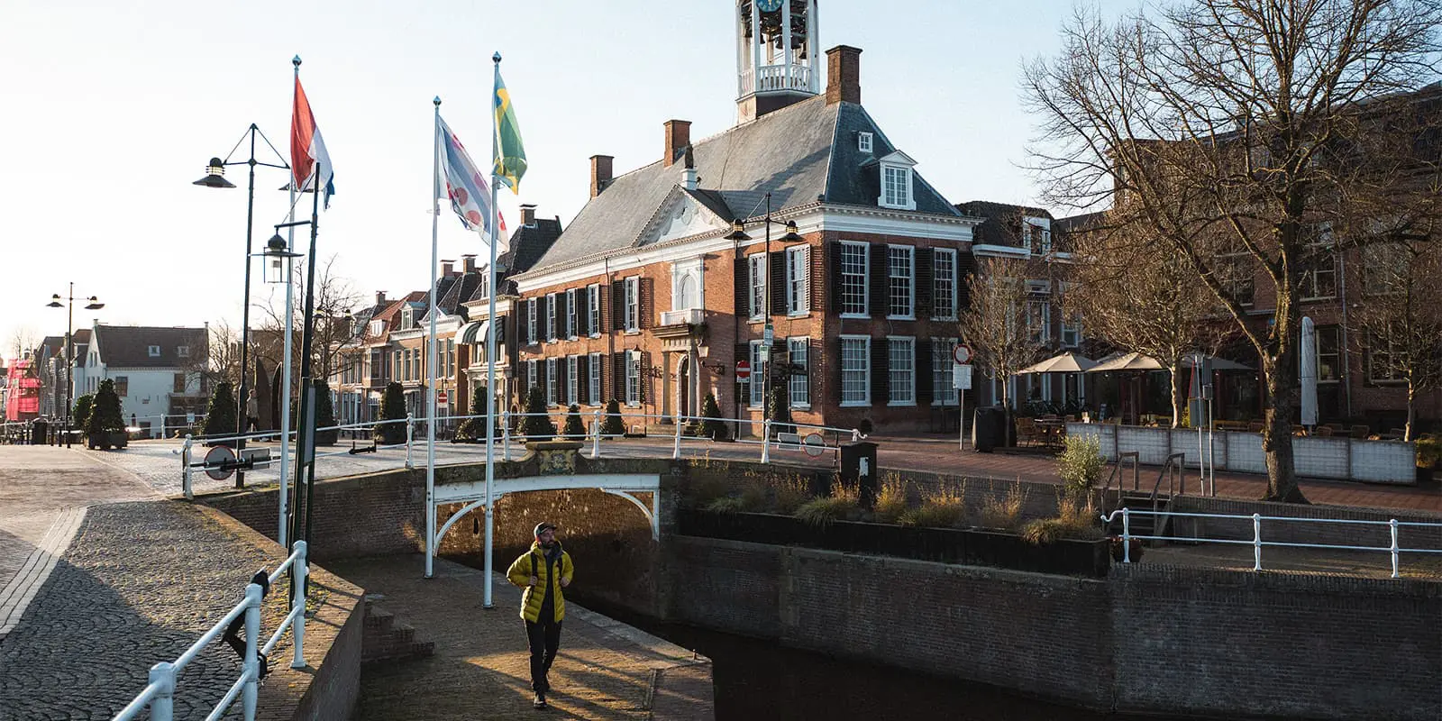
This mostly flat, 15-stage route connects a series of medieval churches on man-made hills (terpen) across the Wadden Sea coastal plain. Hikers are invited to explore the unique nature, authentic villages, and centuries-old cultural history at a relaxed pace​. Church spires that once served as navigation beacons for sailors now welcome modern pilgrims on foot​. The route will even be extended to more than 20 stages. We keep you updated!

Elmar profile picture
Editor

Elmar Teegelbeckers

Passionate hiker Elmar spends months of his time on the trail. He’s usually on the lookout for hidden gems in one of his favourite countries such as Slovenia, Switzerland and Japan. He founded hiking-trails.com in need for a community and detailed information about the trails. Before this, he worked for the Alpine asscociation in the Netherlands[ (NKBV) but lost his heart to the trails.

Not long ago, Elmar published the book (in Dutch) Hiking Trails – best long-distance trails in Europe. With this book, website and socials, he hopes to inspire and shape an inclusive community for hikers all over world. No matter your speed, experience or level, you can get out there to enjoy the trails and connect with the heartwarming hiking community. Life is so much better outside and he hopes to inspire hikers to take their first, or next, step on the trail.

You can reach Elmar at info@hiking-trails.com.

View profile

The Trail

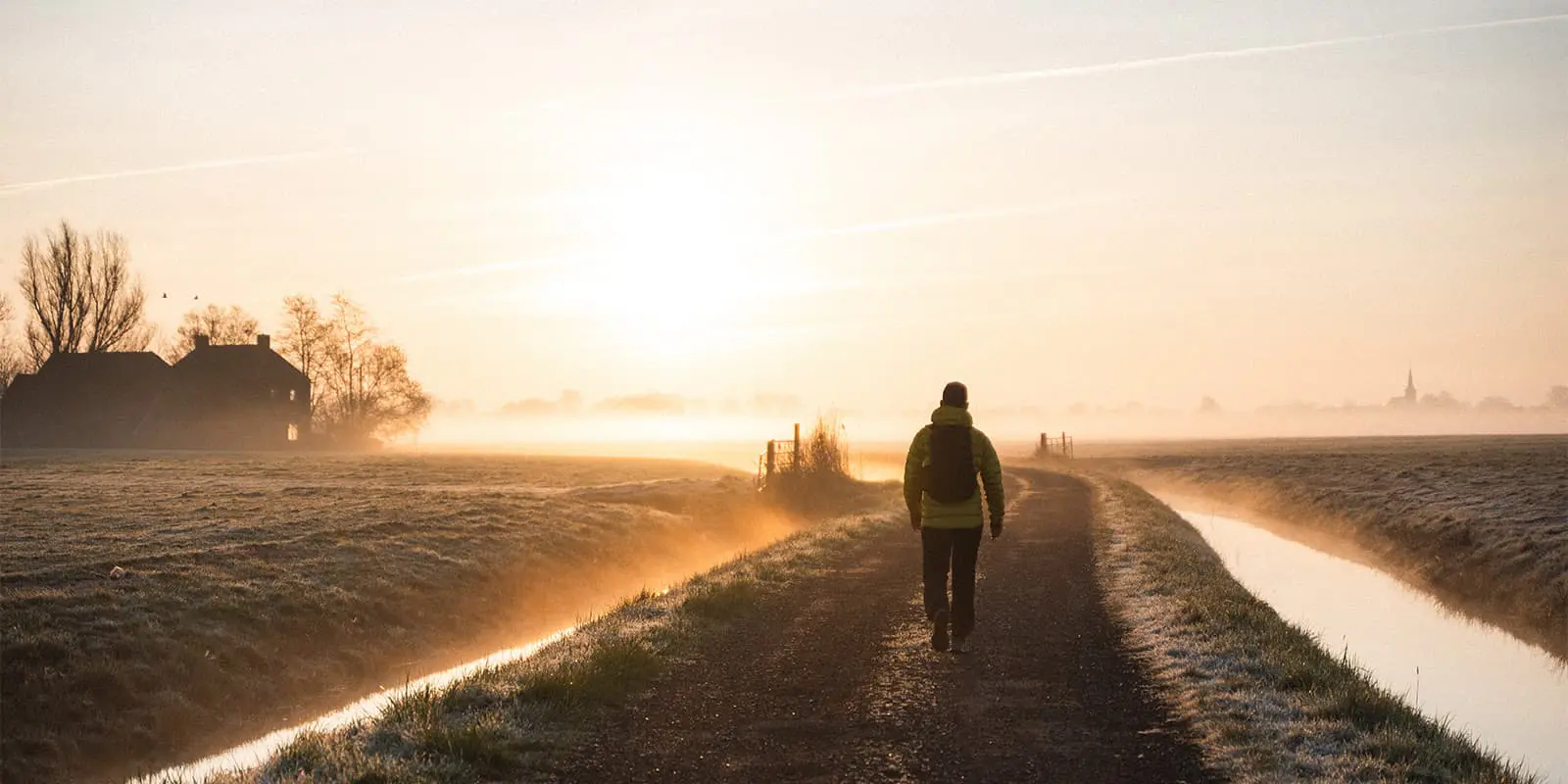
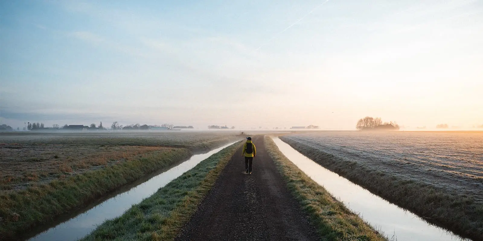
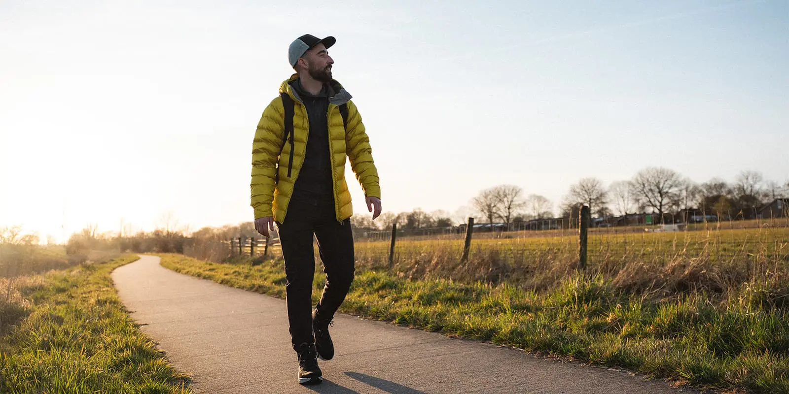
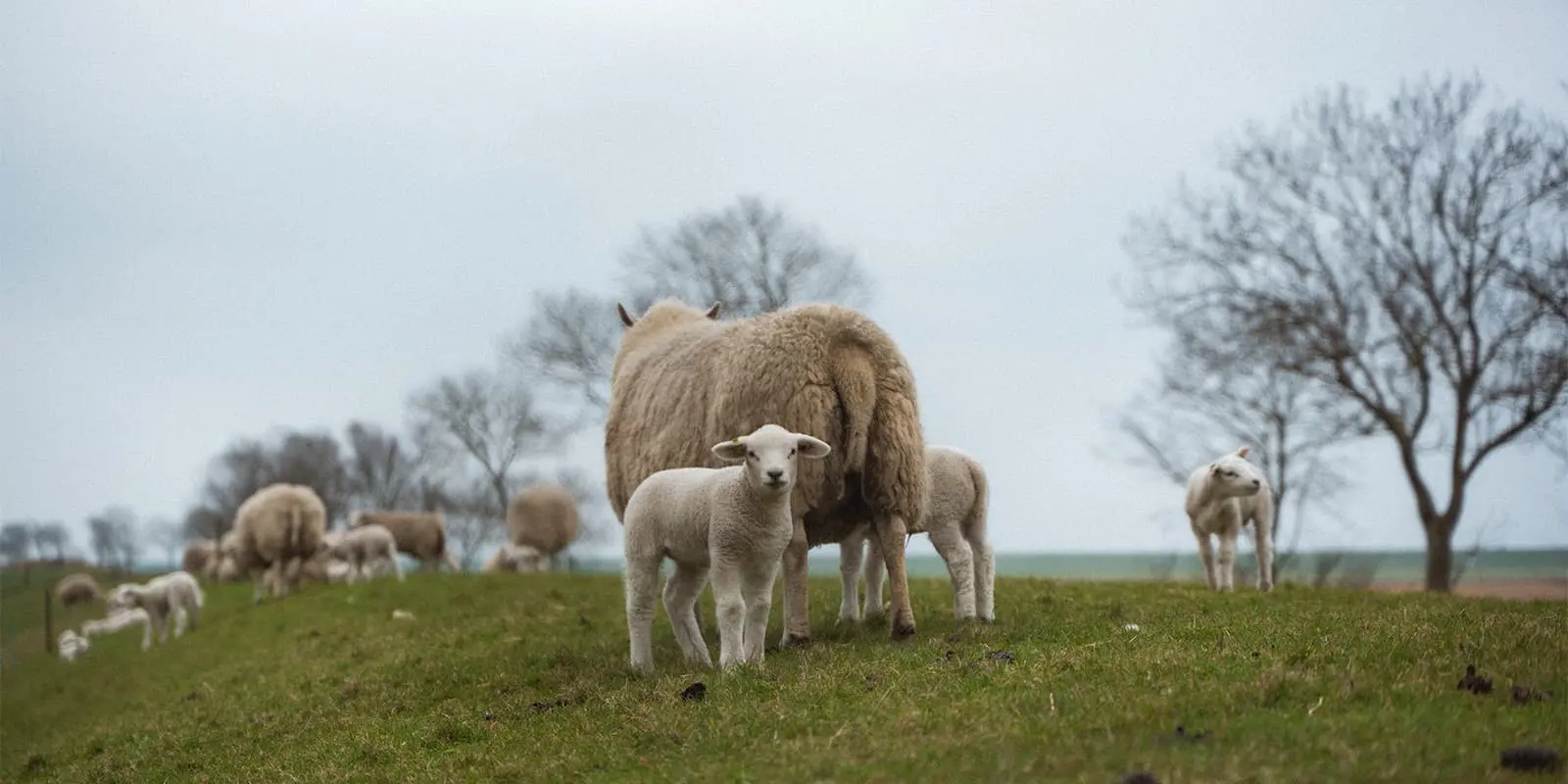
The trail currently runs roughly 15–25 km per stage between the villages of Stroe and Losdorp. Along the way, you’ll trace old shorelines, walk atop dikes and grassy paths, and visit beautifully preserved churches that double as small museums and even overnight shelters. This is a pilgrimage with a twist – there’s no single religious requirement or crowded shrine, just an invitation to slow down and reflect along the most serene landscapes and quiet farm lands.

Thanks to a detailed guide by local author Fokko Bosker, the route is easy to follow and each village church has its doors “already opened for you” with information guides and a warm welcome. In short, Het Ziltepad offers a perfect mix of nature, culture and heritage that shows off the rugged charm of the Dutch North.

Trail highlights

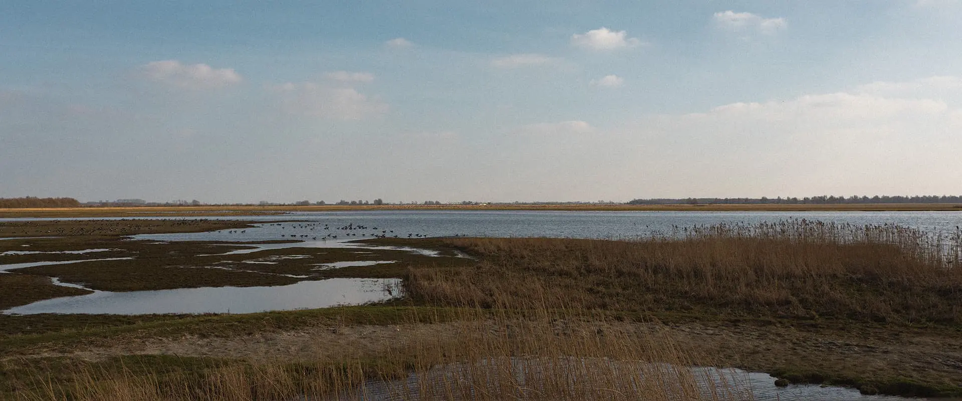
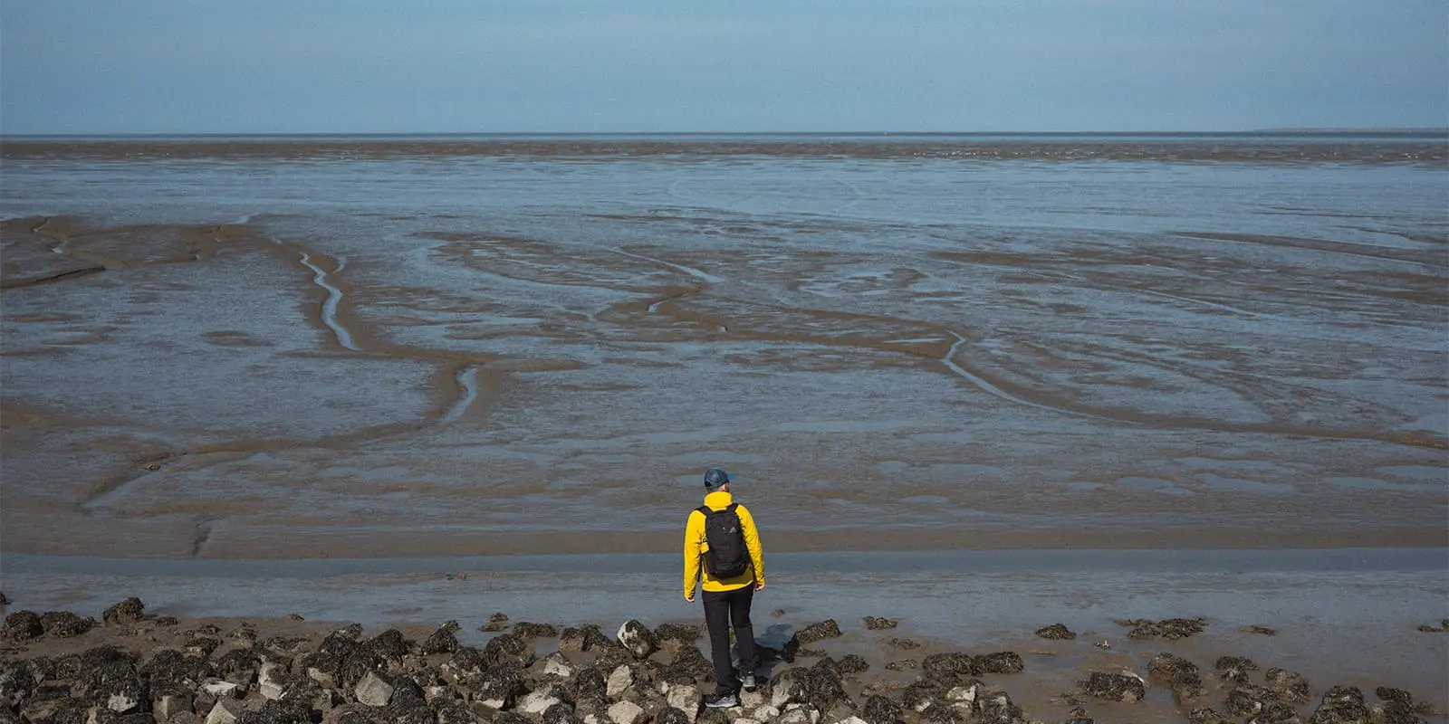
Almost each stage features ancient churches on a terp (mound) rising above the flat landscape. You’ll climb the 9 m-high terp of Hegebeintum, the highest in the Netherlands​. Next to that, the Wadden Sea Scenery is truly spectacular. Experience the wild beauty of the Wadden coast, a UNESCO World Heritage zone. The trail leads past salt marshes, mudflat polders and an 8-mile (13 km) seawall that shields the Lauwersmeer inland lagoon from the North Sea. ​

Year-round you’ll spot abundant birdlife from crooning cuckoos and warblers in the reeds​ to flocks of migratory geese overhead. Lucky hikers might even glimpse wild Konik horses grazing the salt flats or seals along the distant shore​.

Het Ziltepad is as much a cultural journey as a nature walk. It’s an unique pilgrim experience: perhaps the most memorable highlight is the chance to spend the night in the churches themselves. The route trail links communities in what was once the “rugged edge of the North”, and locals are proud to share their heritage. You’ll get into many conversations with friendly locals, curious about travelers on this new Salty Path. Truly amazing!

Stages

Het Ziltepad is divided into 15 stages, each anchored by a notable village church. You can thru-hike the entire route in order (roughly fifteen days), or tackle individual stages at your own pace. Here’s an overview of the stages, and remember, take your time and relax!

Het Ziltepad 20-stage itinerary

Stage 1:

Stroe – Oosterland, 3 km | 1.9 mi 

Stage 2:

Oosterland – Zurich, 35 km | 21.7 mi (currently closed)

Stage 3:

Zurich – Peins, 23 km | 14.2 mi

Stage 4:

Peins – Sint Jacobiparochie, 24 km | 15 mi

Stage 5:

Sint Jacobiparochie – Hijum, 25 km | 15.5 mi

Stage 6:

Hijum – Hegebeintum, 15 km | 9.3 mi

Stage 7:

Hegebeintum – Holwerd, 17 km | 10.5 mi

Stage 8:

Holwerd – Oostrum, 27 km | 16.7 mi

Stage 9:

Oostrum – Vierhuizen, 42 km | 26 mi

Stage 10:

Vierhuizen – Hornhuizen, 11 km | 6,8 mi

Stage 11:

Hornhuizen – Pieterburen, 14 km | 8.7 mi

Stage 12:

Pieterburen – Usquert, 16 km | 10 mi

Stage 13:

Usquert – Uithuizermeeden, 15 km | 9.3 mi

Stage 14:

Uithuizermeeden – Losdorp, 15 km | 9.3 mi

Accommodations

One of the charms of Het Ziltepad is the variety of accommodations available, from traditional inns to truly unusual stays. Standard options include small hotels and B&Bs in the villages. But the most remarkable stay for those seeking a more immersive pilgrim experience, Het Ziltepad truly delivers: several churches along the route double as overnight shelters. The facilities are basic (expect a cold water sink and a toilet) but clean, and a light breakfast is often provided. What these stays lack in luxury they repay with atmosphere: a centuries-old chapel, the echo of your footsteps on stone floors, and absolute silence at midnight other than the church’s bells.

Overall, Het Ziltepad provides a good mix of lodging options each stage or two. You could plan a fairly comfortable itinerary hopping between B&Bs and hotels, or embrace the pilgrim spirit and spend a few nights on a church floor – or do a bit of both. Whatever you choose, you’ll never have to travel far off-route to find a bed. Just keep in mind that in the off-season (winter) some accommodations or restaurants may have limited hours. It’s a good practice to call ahead or use the trail’s official info to arrange your stays.

Best time of the year

The best time of the year to hike Het Ziltepad is from May till October. The trail can be enjoyed in all seasons, but each has its considerations. Generally, the best time to tackle Het Ziltepad is late spring through early autumn, when the weather is mild, days are longer, and services are fully open. Spring transforms the coastal plains with fresh greenery and blooms. In April and May, fields of bright yellow rapeseed flowers light up the landscape​ while summer is peak season for Het Ziltepad. This far north, summers are usually moderate – think comfortable temperatures and a mix of sunny and partly cloudy days. It’s the driest period on average, though occasional rain showers happen.

Early autumn, particularly September and early October, can rival spring as the top time to hike. The summer warmth may extend into September, but the crowds thin out. The landscape takes on golden tones as crops are harvested and the first leaves turn color. It’s also a fantastic time for bird watching – thousands of migratory birds gather in the Wadden wetlands in autumn, so bring binoculars if that interests you. Weather is usually still mild in September, cooling down in October. Rain becomes a bit more frequent, and storms off the North Sea can happen, so be prepared with rain gear.

Safety & Gear

The Wadden coast is known for its windy, changeable weather. Even in summer, a morning can be cool and breezy and an afternoon suddenly warm or vice versa. Pack layers that you can easily add or remove: a windproof jacket is essential (the open polders offer little shelter from gusts), and a lightweight rain jacket or poncho will come in handy when North Sea drizzle sweeps in. In cooler months, gloves and a warm hat are smart to have, as wind chill can make it feel colder than the thermometer reads. Conversely, on sunny summer days the sun is strong and shade is scarce – sunscreen, a cap, and sunglasses are important to protect against UV and glare.

The route is described as easy to follow thanks to dedicated information. But at this early stage the trail is not waymarked. Some portions may coincide with existing local trails or other networks (knooppunten), but you shouldn’t rely on finding “Ziltepad” signs everywhere yet. Therefore, bring navigation tools: downloading the official GPX files for each stage is recommended​.

One special consideration on Het Ziltepad is the presence of protected nature reserves along the way. Parts of the trail border bird nesting areas and delicate salt marsh ecosystems. And of course, leave no trace.

Good to know

To make Het Ziltepad adventure as smooth as possible, here are some practical tips and local logistics to keep in mind. The trail can be walked in either direction – there’s no official “start” vs “end” direction. You may choose west to east (Stroe to Losdorp) as described here, which starts in North Holland and ends in Groningen, or go east to west. The prevailing winds are westerly, so walking eastward means you might often have a tailwind pushing you along, a small perk.

route
point-to-point

Want to submit a trail or make this page more complete?

Always read the disclaimer

Terms of Use: important to all visitors on this website. We strive to publish high quality content and information on this website. However it’s always possible that we’re missing out on some crucial information. In spite of the fact that this route, associated GPS track (GPX and maps) were prepared under diligent research by the specified contributor and/or contributors, the accuracy of such and judgement of the author is not guaranteed. Therefore, hiking-trails.com and contributors are in no way liable for personal injury, damage to personal property, or any other such situation that might happen to individuals hiking or following this route. Should you choose to hike this trail, this is always at your own risk. Check out our guidelines for safety hiking and Leave No Trace principles at the hiking 101 page.

Download GPX

Join the community!

Login or create a FREE account 😊

With an account you can:

Download GPX files

Pin trails to your wishlist

Mark trails as hiked by you

Rate hiking trails

Comment on trails, blogs and gear reviews

Happy trails!
Login

Don't have an account yet? Register here