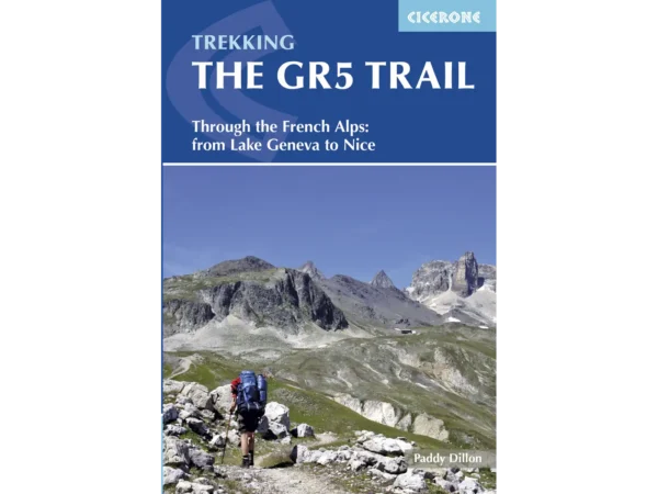
About the Grande Traversée des Alpes

country
France
length
620 km(385 mi)
Type of trail
Long-distance
difficulty

Difficulty is highly personal. Be aware of the weather conditions as bad weather turns easier trails in difficult trails especially in the mountains.

Difficult
accommodation

Lodging means a mix of hotels, hostels or AirBnB’s.

Wild camping, Mountain huts
Elevation gain
29000 m(95144 ft)
terrain
Mountains
remoteness
Some of the time
Show more

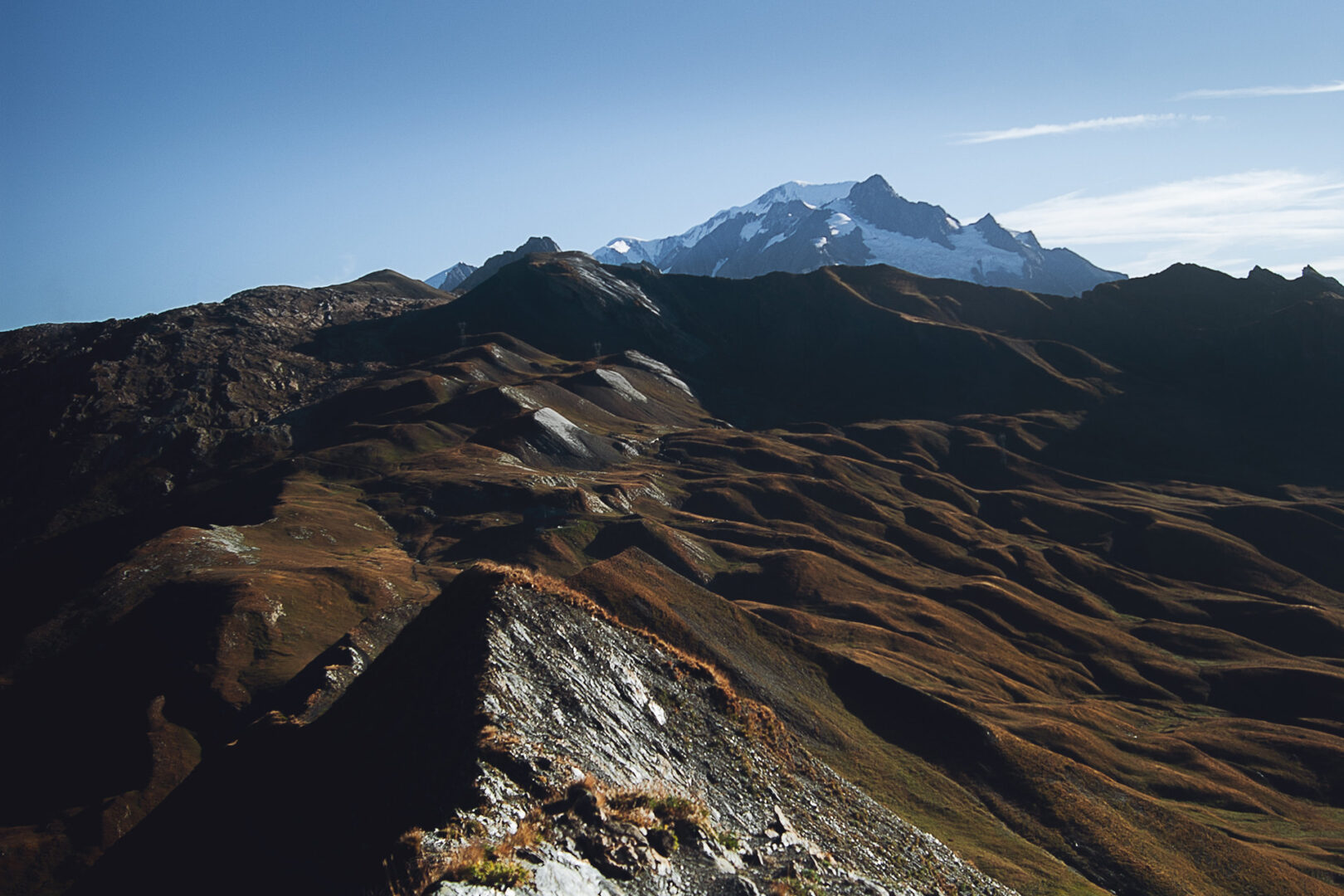
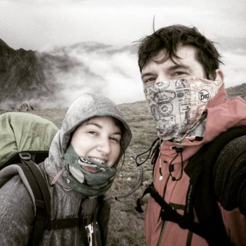
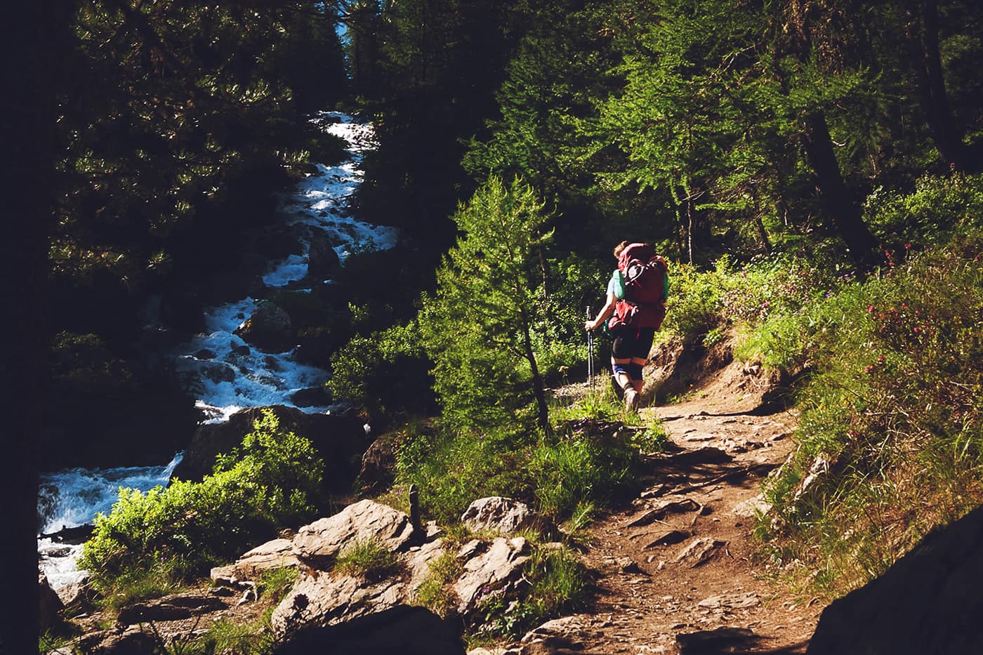
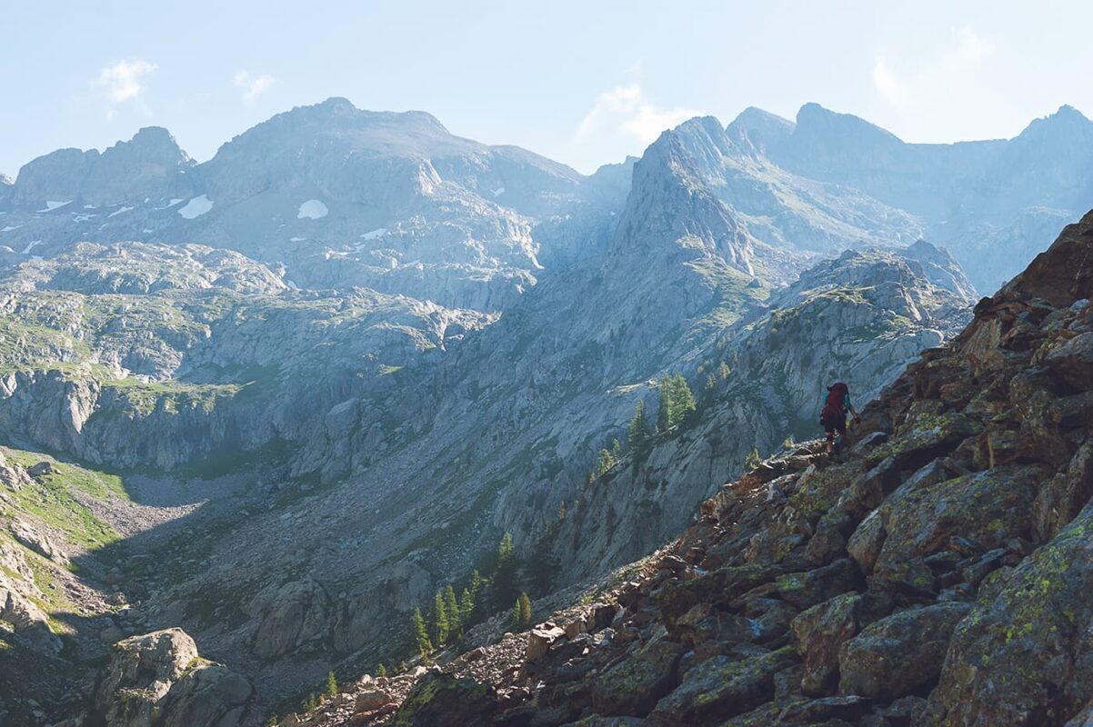
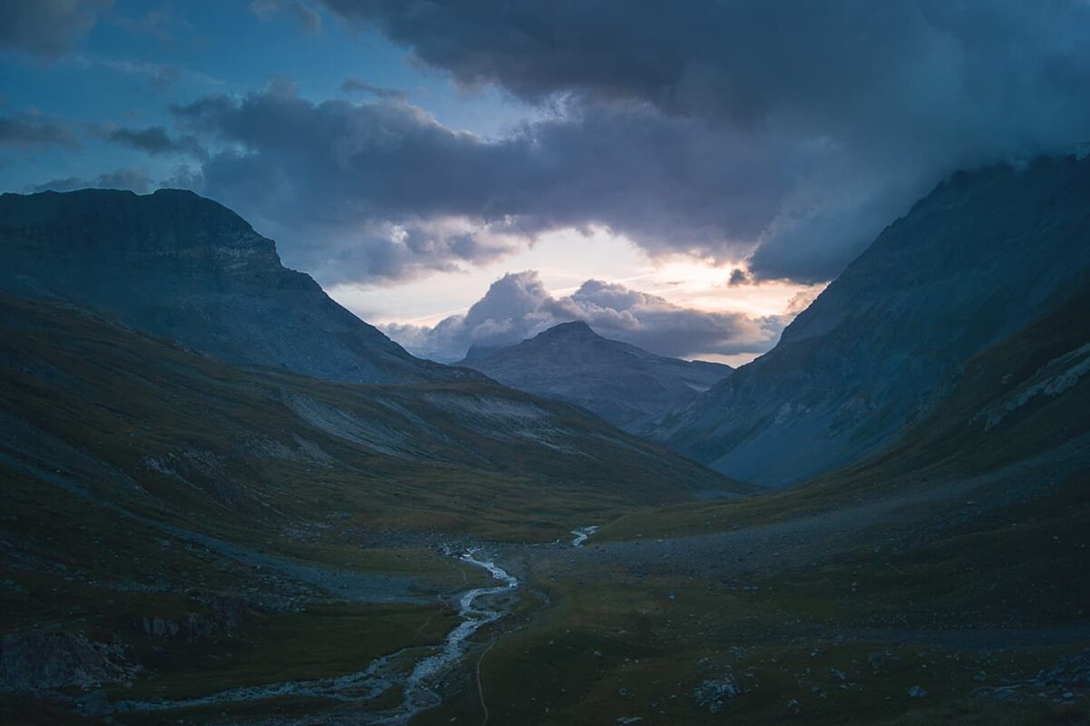
The GTA, or Grande Traversée des Alpes, consists of the French Alpine leg of the GR5 that connects the North Sea to the Mediterranean Sea. The GTA starts right on the Leman lake shore in St Gingolf and ends on the Mediterranean seaside in Nice, 600km and 29000m ascent later. The trail leads you through several national or regional natural parks, among which are Chablais, Beaufortain, Vanoise, Queyras, and Mercantour. Each one of those mountain parks provides a unique atmosphere, as well as its own challenges.

The full GR5 starts in the Netherlands and travels through Belgium, Luxembourg, France, and Switzerland before ending in Nice, France. However, its most famous and scenic section is undoubtedly through the French Alps.

Hadrien and Lisa profile picture

Hadrien & Lisa

Hadrien and Lisa weren’t born in the mountains, as they respectively come from Brittany (France) and Belgium, and live in the Netherlands. Nevertheless, over the past 10 years, they gradually gained experience and knowledge each year, ultimately leading them to Thru-hike the French Alps and the Pyrenees, as well as doing the Camino twice! You can follow Hadrien and Lisa on Instagram @the.wild.dukes

View profile

The Trail

Arriving in Chamonix, the trail then merges with the TMB (Tour du Mont Blanc) for a couple of days. While the trail definitely is busier, it also provides magnificent views of both the Mont Blanc and the Aiguilles Rouges mountain ranges.

GTA leaves the TMB at the Col du Bonhomme pass, for a breathtaking day onto the Beaufortain regional park. The trail follows a spectacular ridge (Crete des Gittes), and while the view is worth it, make sure you turn around for a last view of the Mont Blanc summit – if the weather allows.

Next in line is the Vanoise National Park, the most ancient French natural park created in 1963 to prevent Alpine Ibex from going extinct in the region. Thus, the ibex became the park emblem, Vanoise National Park being home to the largest population of ibex in France, around 1800 individuals. Unlike other GTA sections, it is not allowed the wild camp in Vanoise. Pitching your tent is only allowed next to mountain huts that allow it.

As you are heading south, the terrain gradually becomes rockier. Queyras Regional Park is next, and the land mixes stoney terrain, and pine forests (actually European larch, whose golden colors shape the mountain in autumn), but also offers you an opportunity to rest in Briançon as you reach almost the middle part of your hike.

Finally, GTA leads you to the Mercantour National Park, the last piece before reaching the Mediterranean Sea. You’ll have to make a decision mid-way in the Mercantour park, whether to continue on the GR5 and finish in Nice, or switch to the GR52 and finish in Menton. The latter of the two enables you to traverse the “Vallée des Merveilles,” holding one of the largest quantities of open-air Bronze Age petroglyphs (rock engraving) in Europe.

Stages

Because the GTA is so long, it is unadvised to put down specific stages for the trail. Wild camping is allowed everywhere on the trail except Vanoise National Park, which means you can decide your stage lengths each day as you see how you feel.

For a detailed layout of the trail itinerary, you can check the official website (in French).

Accommodations

When hiking this trail you’ll have both the opportunity to wild camp, or to go hut-to-hut. Wild camping is allowed, except in the Vanoise National Park, in which pitching a tent is only possible next to mountain huts that allow it.

Going for the hut-to-hut option, make sure you book a bed a few months in advance, especially on the common section with TMB, and in Vanoise.

The GTA will allow you to taste regional specialties, among which are Reblochon, Abondance cheese, Crozet, as well as tartiflette and croziflette so don’t miss out!

Best time of the year

The best time of the year to hike the GTAl is undoubtedly in summer and early September. Tackling the trail earlier than mid-June might be difficult, as passes might still be snowy and ridges too slippery (not to mention huts are closed off-season). Generally, the hiking season in the European Alps is limited to the summer months when the weather is milder and the snow has melted, making the trails accessible.

Keep in mind that the weather in the high mountains can change rapidly, and it’s essential to be prepared for various conditions, including sudden rain or snow showers. Always check trail conditions, and local weather forecasts before embarking on a high-alpine hike. Additionally, consider your hiking experience and skill level, as some trails in the high section of the Alps can be challenging and require proper equipment and a bit of experience.

Safety & Gear

Conduct thorough research on the trail. This is a long-distance trail, which means smart planning will be very helpful. This includes assessing factors such as trail difficulty, length, elevation gain, and terrain and putting them into the context of your ability.

Check in periodically with people at home, providing details like your start and end times for especially tricky sections, and emergency contact information.

Stay informed about the weather conditions by using weather apps (when you have data or wifi!) and by talking with locals. Avoid being out on the trail during severe weather conditions, including thunderstorms, heavy rainfall, or extreme heat.

Be sure you have enough water and snacks to maintain your energy levels and prevent dehydration and exhaustion. Bring at least two liters of water with you.

Familiarize yourself with the trail map and carry navigation tools such as a compass or GPS device to stay oriented and avoid getting lost.

Invest in the right hiking gear, including comfortable, supportive footwear, proper hiking clothing, such as warm base layers and a hardshell rain jacket, hiking poles, a well-fitted backpack, and essential equipment like maps, GPX devices (when needed), and a first-aid kit. Check out our comprehensive gear list for long-distance trails like this.

Respect the principles of Leave No Trace by minimizing your impact on the environment. Stick to designated trails, pack out all trash, and have respect for wildlife and natural habitats.

Good to know

It is possible to section-hike the GTA, starting or finishing in places accessible via public transport, such as (but not limited to) Chamonix, Modane, Tignes, Briançon, or Ceillac.

For the same reason, it is possible to resupply quite frequently – thus if you don’t go hut-to-hut, carrying more than 5 days of food is more likely to be unnecessary.

Looking for a bigger challenge? The GTA is the French Alp and final section of the GR5, which starts in the Netherlands and traverses through Belgium, Luxemburg, a few kilometers of Switzerland, and France, for a total of more than 2500km (1550 mi.).

Route
Point to point
Highest point
2764M (9068 ft)

Guidebooks

cover guidebook

GR5 through French Alpes

View guidebook

Want to submit a trail or make this page more complete?

Comments

Be the first one to comment on this trail!

Reply to this trail

Your email address will not be published. Required fields are marked *

Reply to this trail

Log in to comment on this trail
Always read the disclaimer

Terms of Use: important to all visitors on this website. We strive to publish high quality content and information on this website. However it’s always possible that we’re missing out on some crucial information. In spite of the fact that this route, associated GPS track (GPX and maps) were prepared under diligent research by the specified contributor and/or contributors, the accuracy of such and judgement of the author is not guaranteed. Therefore, hiking-trails.com and contributors are in no way liable for personal injury, damage to personal property, or any other such situation that might happen to individuals hiking or following this route. Should you choose to hike this trail, this is always at your own risk. Check out our guidelines for safety hiking and Leave No Trace principles at the hiking 101 page.

Download GPX

Join the community!

Login or create a FREE account 😊

With an account you can:

Download GPX files

Pin trails to your wishlist

Mark trails as hiked by you

Rate hiking trails

Comment on trails, blogs and gear reviews

Happy trails!
Login

Don't have an account yet? Register here