Book release!Pre-order: Hiking Trails (in English!)

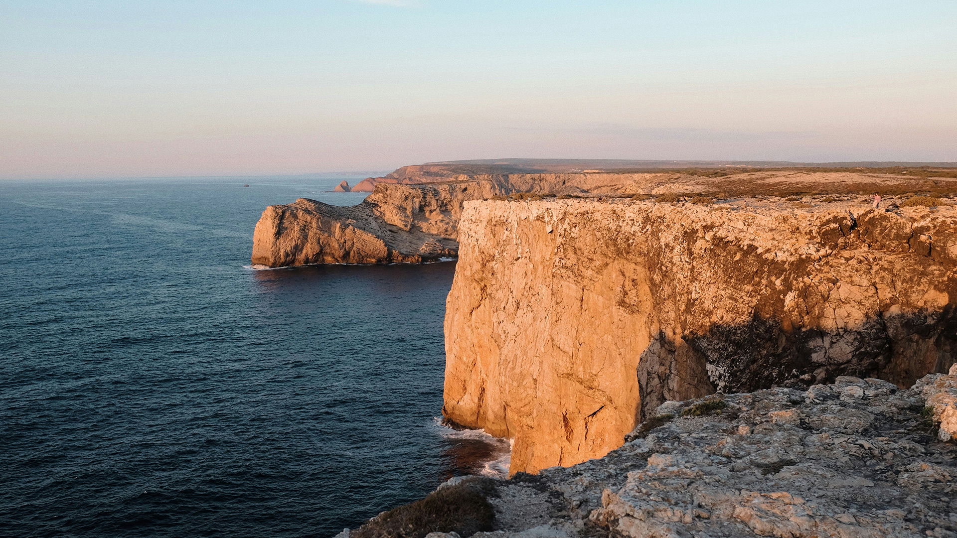
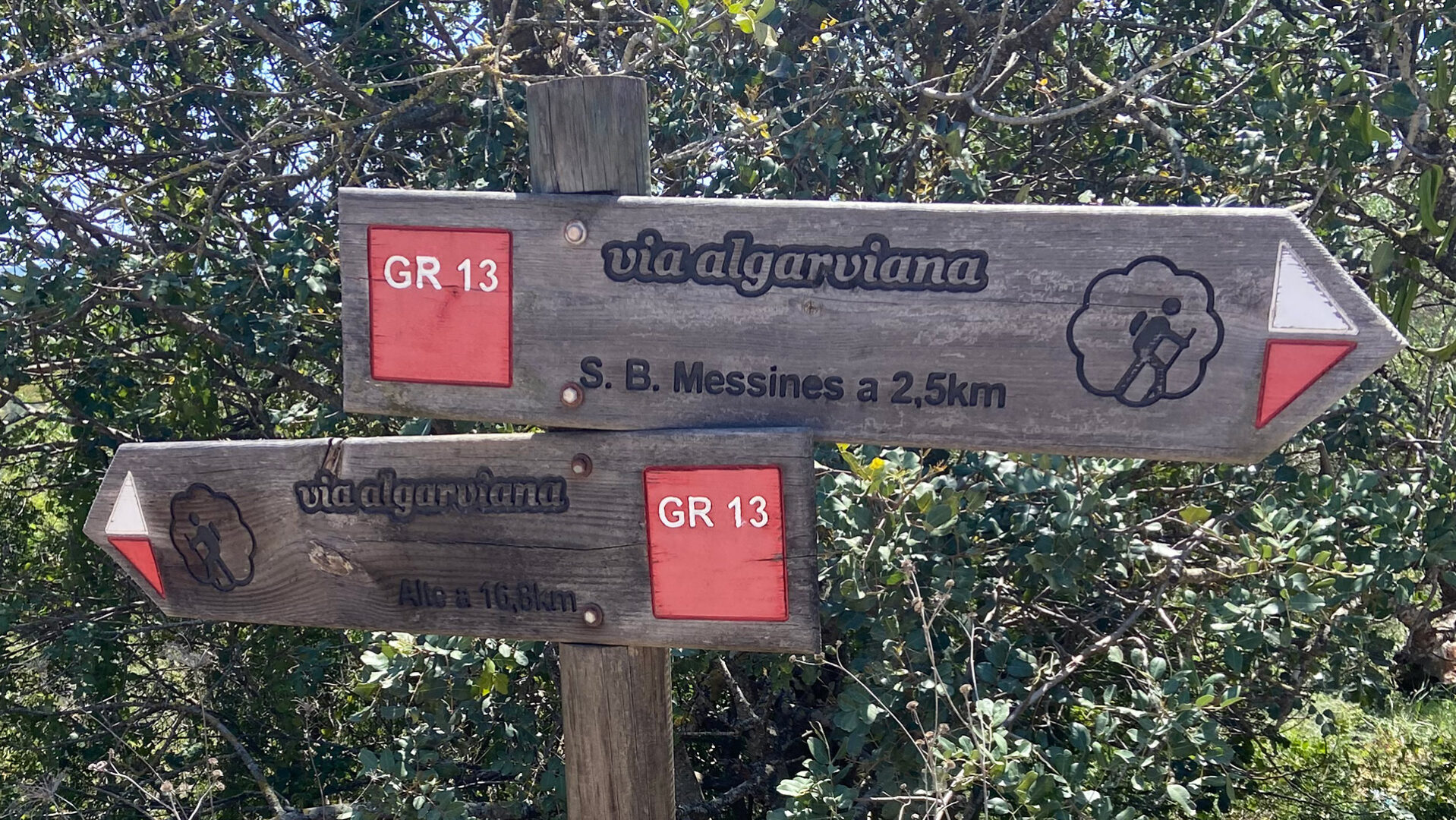
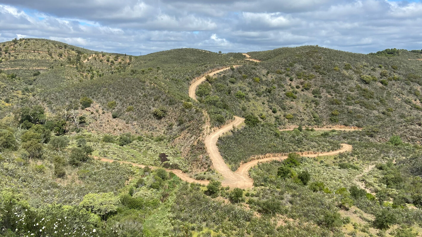
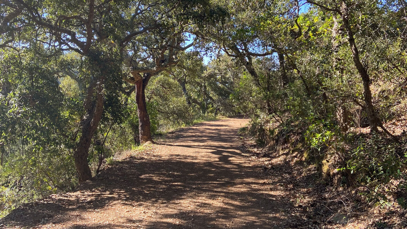
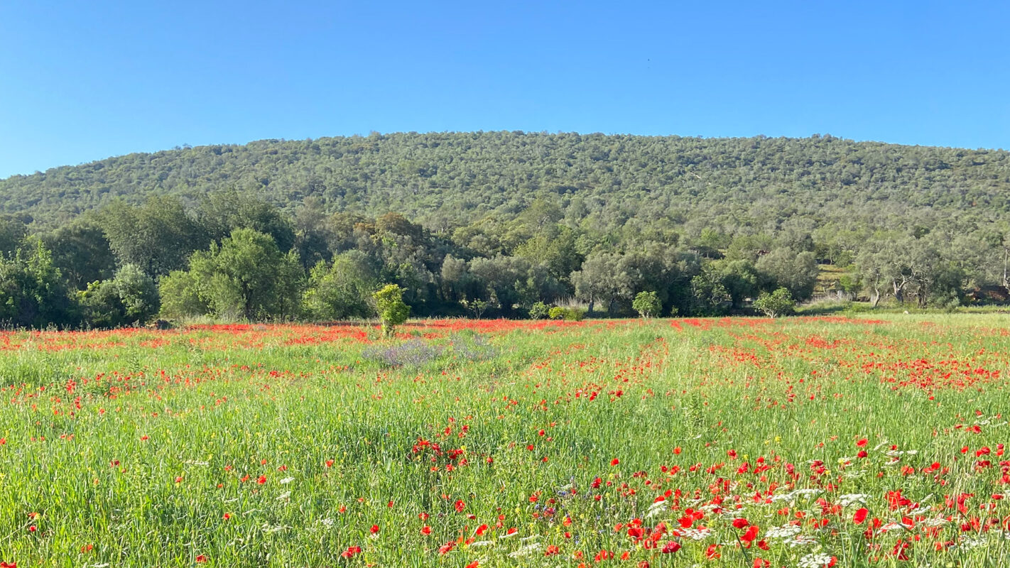
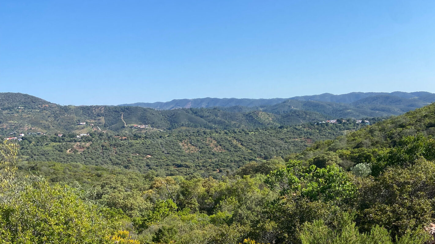
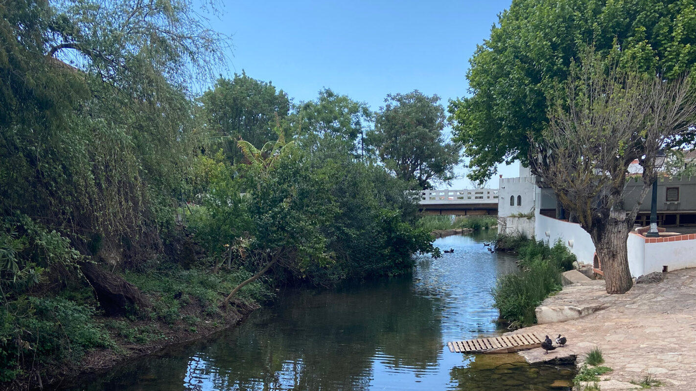
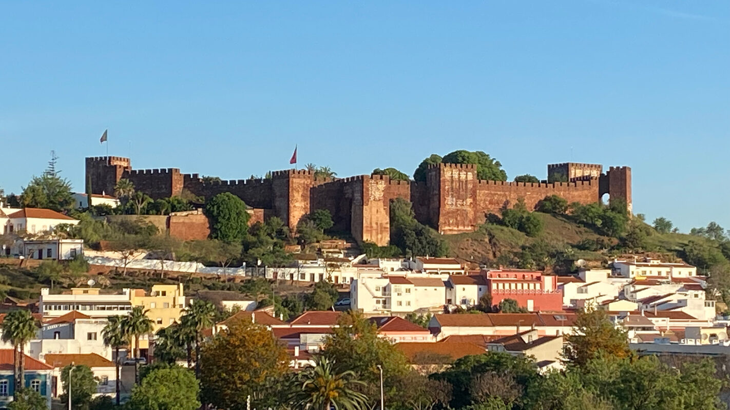
GR13 – Via Algarviana is the perfect chance to explore the hidden gems of the Algarve. Mainly a very developed and touristic area, the Algarve is a holiday destination for thousands of Europeans looking for sunshine and beaches. But the Via Algarviana shows you a different Algarve. The trail leads you 300 kilometers through the entire length of the Algarve and connects to the Southwest Alentejo and Costa Vicentina Natural Park, and with the Rota Vicentina.
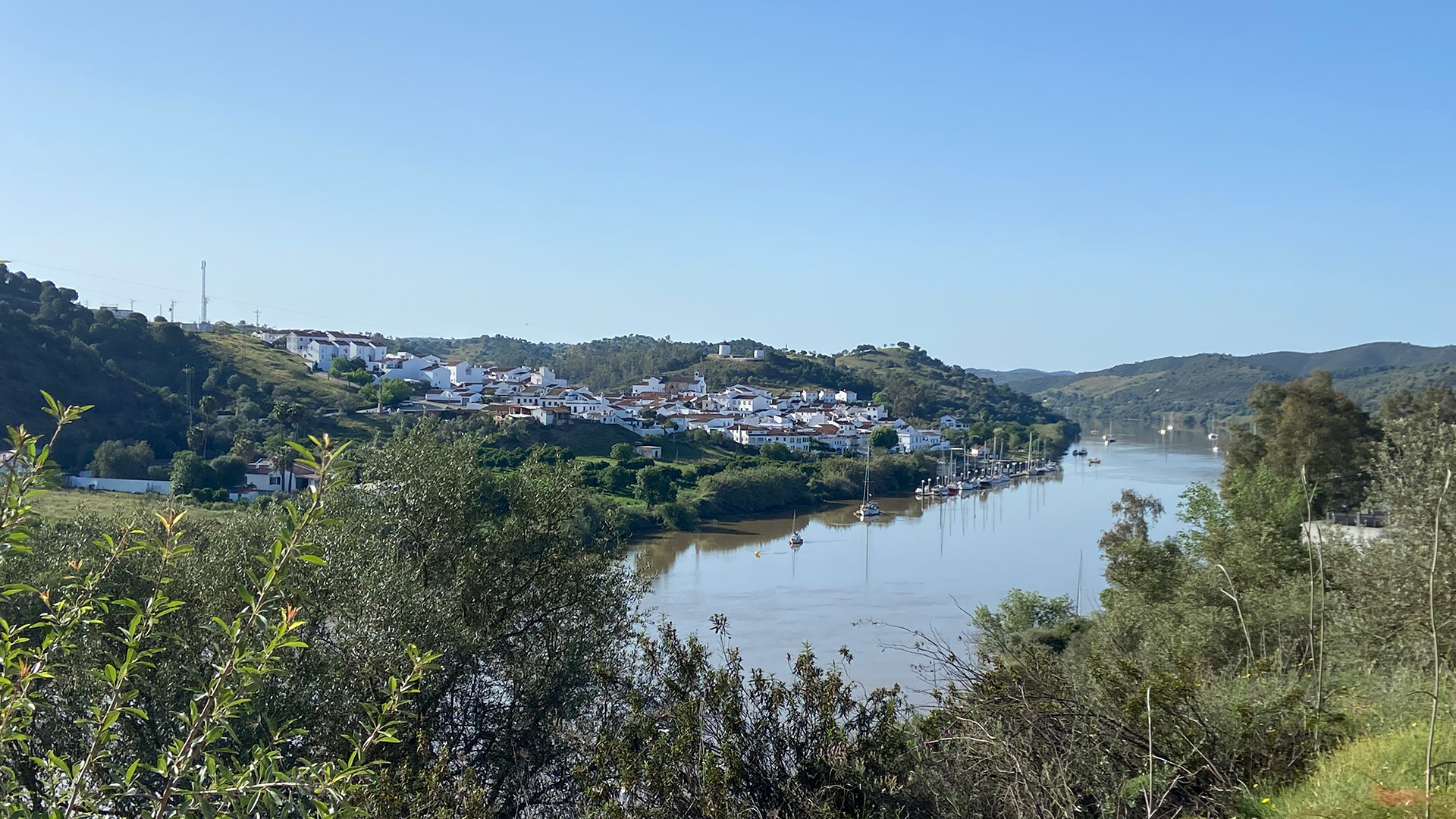
The trail begins in Alcoutim, on the banks of the Guadiana River, and extends to Cabo de São Vicente, where it ends at the Atlantic Ocean. In between the two, it heads inland into the Algarve, covering approximately 300 kilometers.