About the GR10

Pyrenees
country
France
length
922 km(573 mi)
Type of trail
Thru-hike, Long-distance
difficulty

Difficulty is highly personal. Be aware of the weather conditions as bad weather turns easier trails in difficult trails especially in the mountains.

Difficult
accommodation

Lodging means a mix of hotels, hostels or AirBnB’s.

Lodging, Camping
Elevation gain
58000 m(190289 ft)
terrain
Mountains
remoteness
Some of the time
Show more

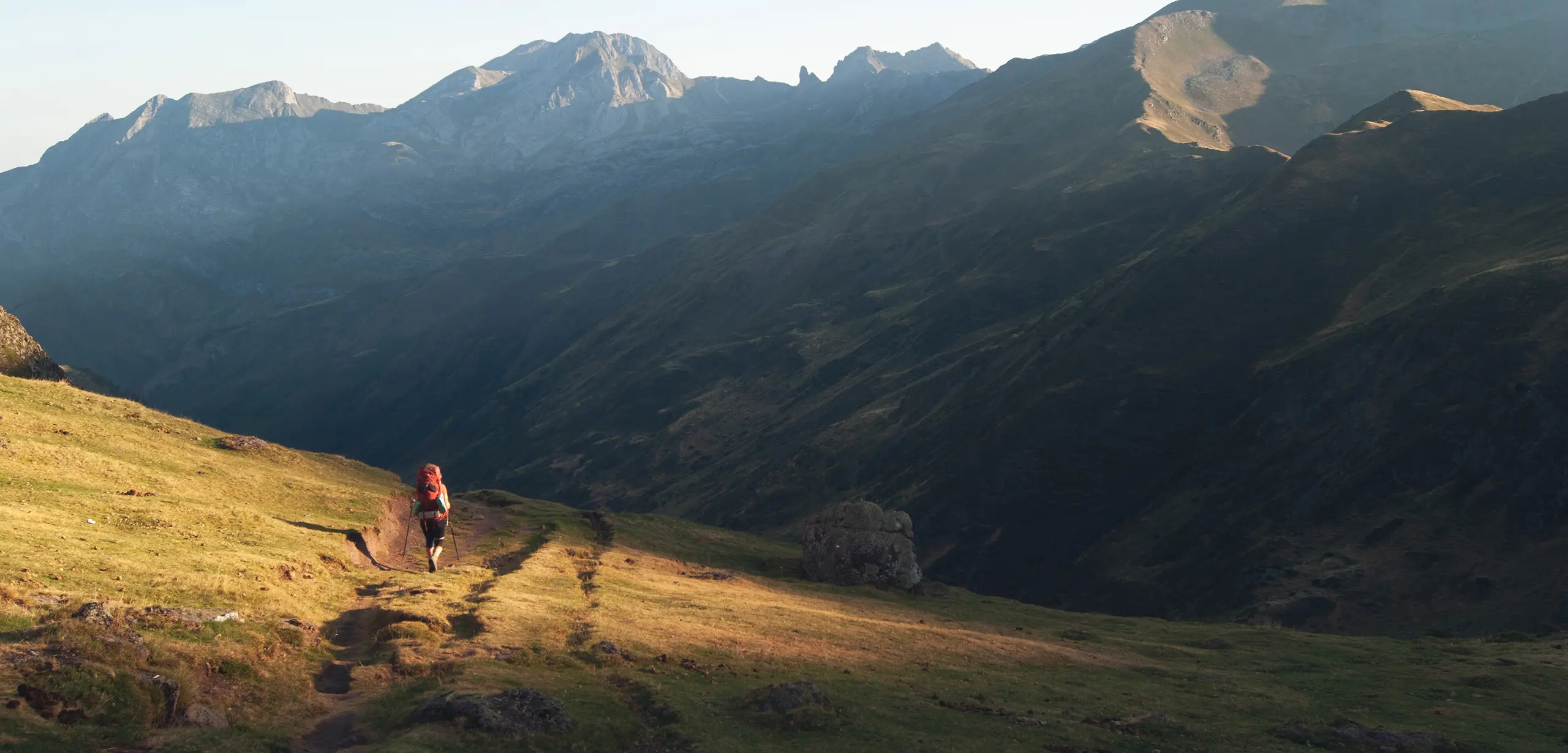
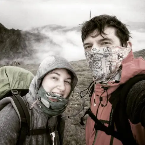
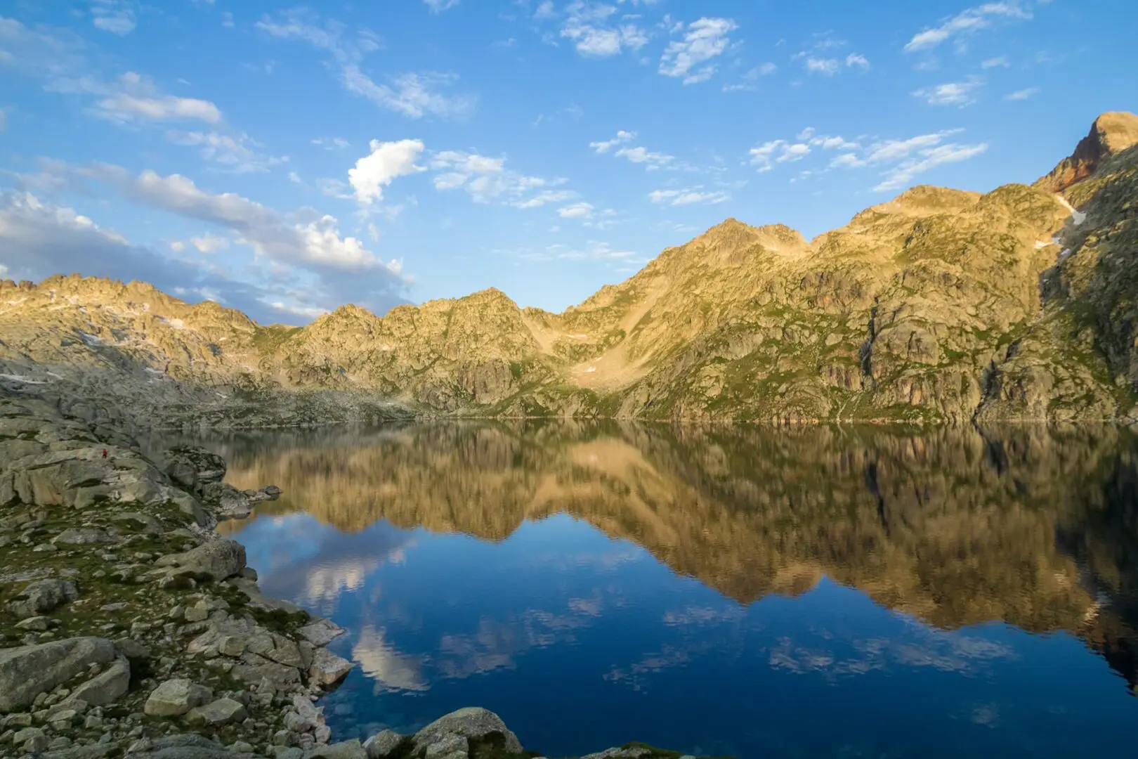
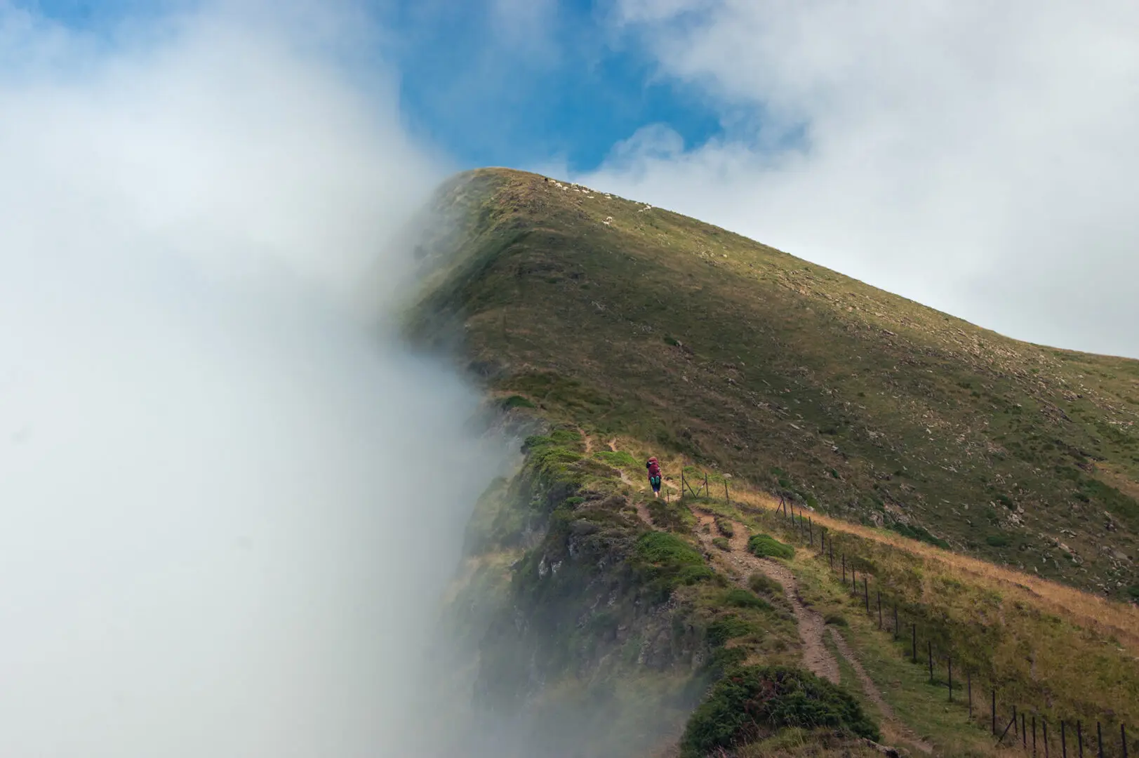
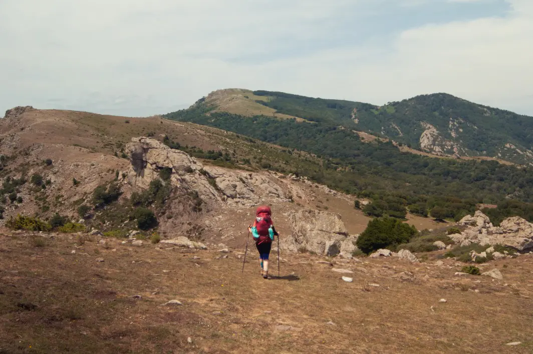
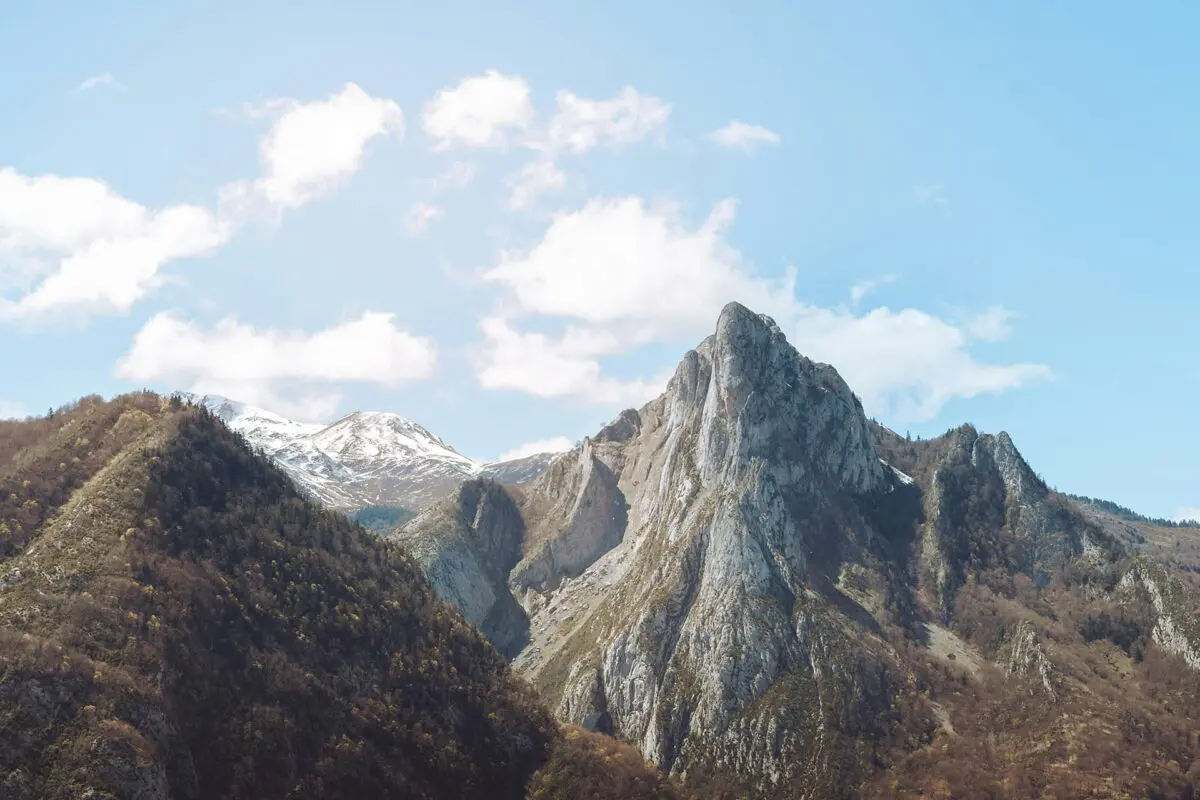
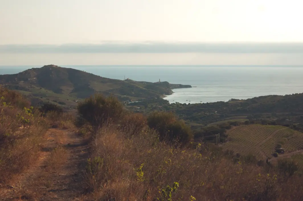
The GR10 is the French Pyrenees thru-hike, ranging from the Atlantic Ocean (in Hendaye) to the Mediterranean Sea (in Banyuls-sur-Mer). The GR10 comfortably sits in between the HRP trail that stays up in the mountain and the valley. But do not underestimate the trail, as while it does not go so high on the Pyrenees ridge (maximum 2753m), it piles up a massive denivelation often descending low in the valley.

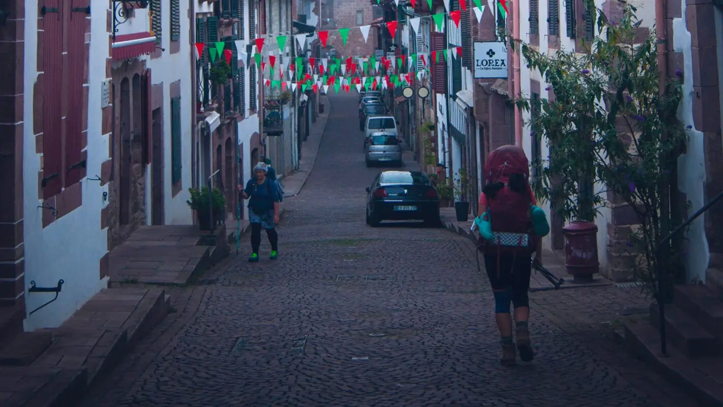
Numerous train stations and bus stations are scattered along the GR10, making it easy to access for a complete thru-hike or a section hike.

Hadrien and Lisa profile picture

Hadrien & Lisa

Hadrien and Lisa weren’t born in the mountains, as they respectively come from Brittany (France) and Belgium, and live in the Netherlands. Nevertheless, over the past 10 years, they gradually gained experience and knowledge each year, ultimately leading them to Thru-hike the French Alps and the Pyrenees, as well as doing the Camino twice! You can follow Hadrien and Lisa on Instagram @the.wild.dukes

View profile

The Trail

GR10 is mountainous but regularly oscillates between the Pyrenean ridge and the valley. In that sense, it sits in between the HRP (Haute Route Pyrrénéenne) that stays up on the Pyrénées, and other GR official trails lower in the valley (the GR78 for example). This in-between positioning of the GR10 enables you to personalize the trail accordingly, for example depending on weather conditions (for which you might want to head down to the valley) or the fact you are autonomous and thus might want to stay up in the mountain on the HRP.

While it is possible to eat & sleep in mountain huts, camping, or other accommodations along the way, it is also possible to wild camp in most parts of the trail. This thru-hike trail encompasses a variety of the Pyrenees, from the Mediterranean landscape to high mountainous plateaus, through steep forests.

The GR10 is quite well-marked, enabling you to hike from west to east, or east to west (as the authors of this article). However, the GR10 is almost exclusively explained from west to east in guidebooks.

It also crosses some natural parks, for which you will not be able to wild camp or hike with a dog. This will (likely) be mentioned on signs along the trail. In case of doubt, always refer to mountain huts that will provide you with the required information.


Stages

The GR10 can roughly be divided into four stages, each requiring approximately two weeks to hike.

Stage 1:

Pyrénées Occidentales: Hendaye – Arrens, traversing the Basque country

Stage 2:

Pyrénées Centrales: Arrens – Bagnères de Luchon, the GR10 becoming more mountainous at that point

Stage 3:

Pyrénées Ariégeoises: Bagnères de Luchon – Merens, discovering the foresty but more than hilly Arièges

Stage 4:

Pyrénées Orientales: Merens – Banyuls, the Mediterranean landscape part

Accommodations

Numerous accommodations are possible along the way, from wild camping to hotels. Thus, depending on whether you thru-hike the GR10 or section-hike it, there will be a bed that fits your needs!

The French GR10 website shares numerous wild camping spots, as well as formal camping spots and guest houses for you to plan your hike accordingly.

Best time of the year

The best time of the year to thru-hike the Pyrénées is undoubtedly from June to September. As you’re hiking in the mountains be aware that there might be snowfields even in early summer and there might be early snowfalls in late summer and early autumn. Generally, the hiking season in the Pyrenees is limited to the summer months when the weather is milder and the snow has melted, making the trails more accessible.
Consider the time required to thru-hike the GR10 in combination with this “best time of the year.”

Keep in mind that the weather in the mountains can change rapidly, and it’s essential to be prepared for various conditions, including sudden rain and storms/lightning or snow showers. Always check trail conditions, and local weather forecasts before embarking on a high-alpine hike. Additionally, consider your hiking experience and skill level, as some trails parts of the hike can be challenging and require proper equipment and experience.

Safety & Gear

When planning this hike, it’s essential to consider several key factors to guarantee a secure outdoor adventure. Before you start hiking, research your trail! This includes assessing difficulty, length, elevation gain, and terrain, and then thinking about your abilities for these factors.

Share your plans with your friends, providing your start and end times, chosen route, and emergency contact information.

Very important: Stay informed about the weather conditions in the area. You can check these with weather radar apps or by talking with knowledgeable locals. Please do not hike during severe weather conditions like thunderstorms, heavy rainfall, or extreme heat.

Ensure you have enough water and snacks to stay energized and prevent dehydration and exhaustion. Bring at least two liters of water with you.

Familiarize yourself with the map and carry tools such as a compass or GPS device to stay oriented.

Invest in the right hiking gear, including comfortable, supportive footwear, proper hiking clothing, such as warm base layers and a hardshell rain jacket, hiking poles, a well-fitted backpack, and essential equipment like maps, GPS devices (when needed), and a first-aid kit. Check out our comprehensive gear list for long-distance trails like this.

Respect the principles of Leave No Trace by minimizing your impact on the environment. Stick to designated trails, pack out all trash, and have respect for wildlife and natural habitats.

Good to know

The official guidebooks usually display variants that can be relevant in case of challenging weather, vertigo, or must-see places such as the Gavarnie Cliff.

The GR10 is easy to section-hike. Each official guidebook details (roughly) a 2-week section. The Tour des Perics is also a nice way to discover the Pyrenees in about a week, with 1 to 2 days sharing the trail with GR10.

You are quite likely to find water along the way to refill your water bottle. This depends, of course, on the moment of the year you tackle this hike. The challenging area for water is the Pyrénées Orientales, especially the few days around Banyuls, for which there will likely be no water available during the day. In this section, you’ll be required to carry enough water for the day, to only refill at the end of the day. Always double-check with inhabitants of the surrounding on the possibility of finding water along the way.

Route
Point to point
Highest point
2753m (8500 ft)

Guidebooks

cover guidebook

Trekking the GR10

View guidebook

Want to submit a trail or make this page more complete?

Comments

Be the first one to comment on this trail!

Reply to this trail

Your email address will not be published. Required fields are marked *

Reply to this trail

Log in to comment on this trail
Always read the disclaimer

Terms of Use: important to all visitors on this website. We strive to publish high quality content and information on this website. However it’s always possible that we’re missing out on some crucial information. In spite of the fact that this route, associated GPS track (GPX and maps) were prepared under diligent research by the specified contributor and/or contributors, the accuracy of such and judgement of the author is not guaranteed. Therefore, hiking-trails.com and contributors are in no way liable for personal injury, damage to personal property, or any other such situation that might happen to individuals hiking or following this route. Should you choose to hike this trail, this is always at your own risk. Check out our guidelines for safety hiking and Leave No Trace principles at the hiking 101 page.

Download GPX

Join the community!

Login or create a FREE account 😊

With an account you can:

Download GPX files

Pin trails to your wishlist

Mark trails as hiked by you

Rate hiking trails

Comment on trails, blogs and gear reviews

Happy trails!
Login

Don't have an account yet? Register here