Panoramic view of green hills and countryside landscape during cloudy day

GR Flemish Ardennes

Streek GR Vlaamse Ardennen

About the GR Flemish Ardennes

country
Belgium
length
157 km(98 mi)
Type of trail
Long-distance
difficulty

Difficulty is highly personal. Be aware of the weather conditions as bad weather turns easier trails in difficult trails especially in the mountains.

Easy
accommodation

Lodging means a mix of hotels, hostels or AirBnB’s.

Lodging, Camping
Elevation gain
2786 m(9140 ft)
terrain
Forest, Countryside, Hills
remoteness
Most of the time
Show more

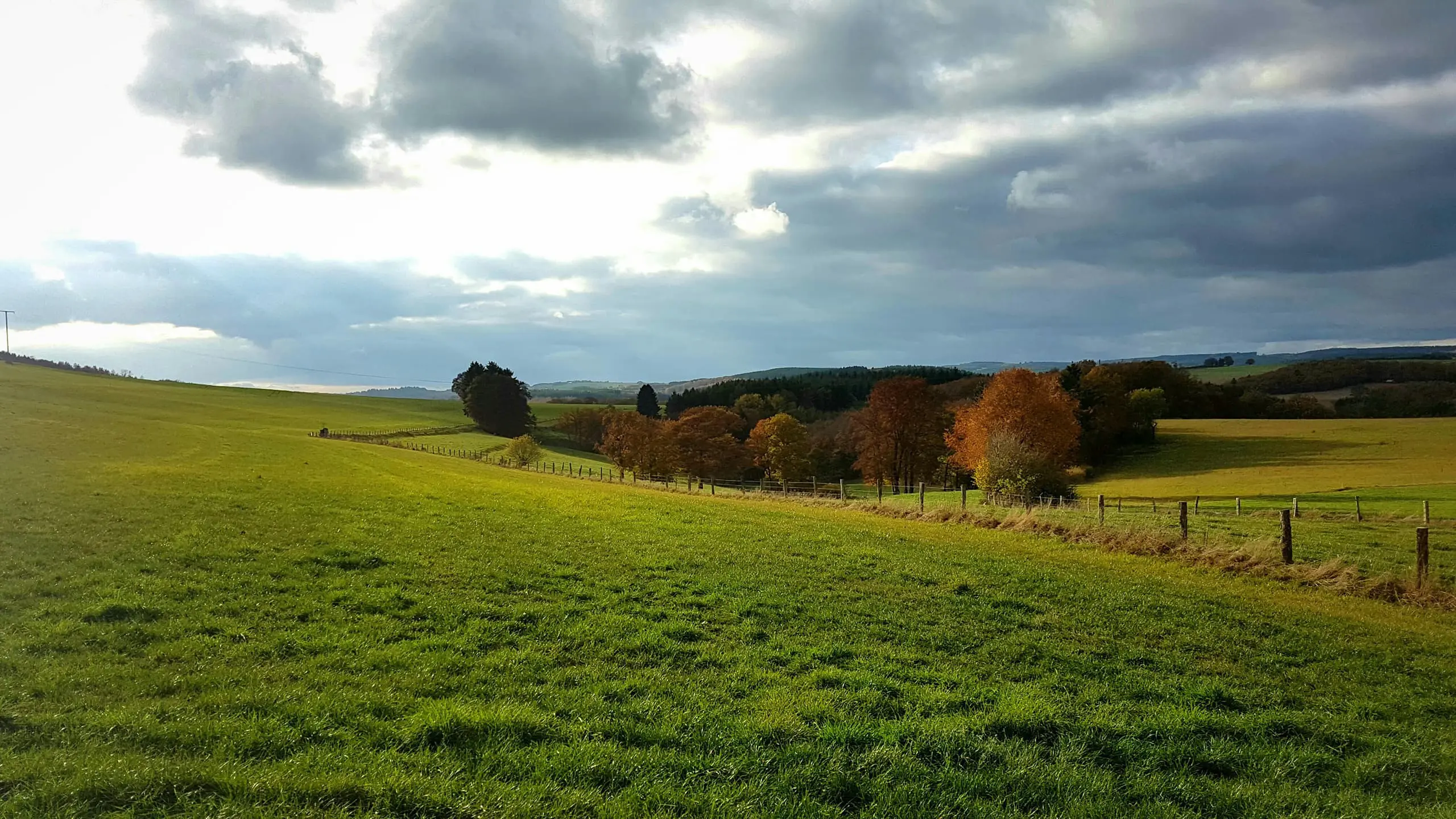
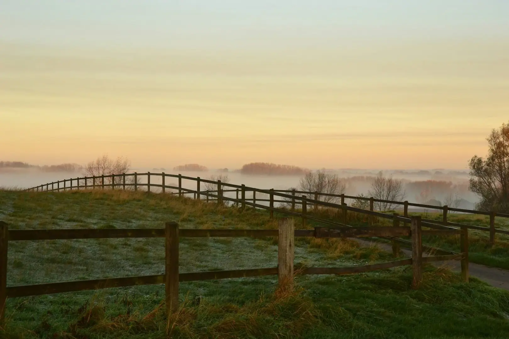
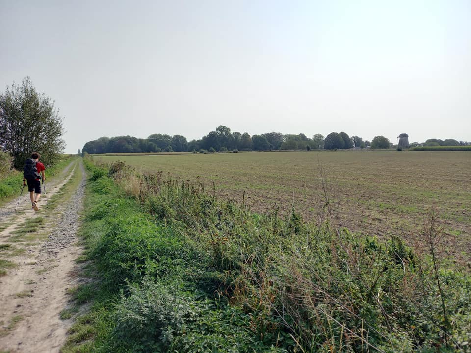
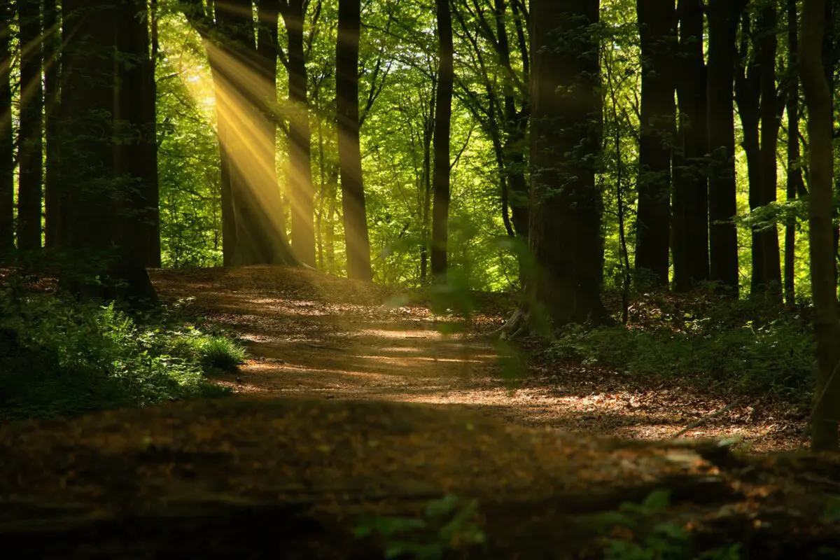
The Region-GR Flemish Ardennes runs uphill and downhill over the many short slopes that are so well known from the Tour of Flanders for cyclists. The hills are actually old petrified sandbanks or witness hills between the valleys of Schelde and Dender (2 rivers in East-Flanders). They provide a nice hiking landscape with a lot of variety along the way.

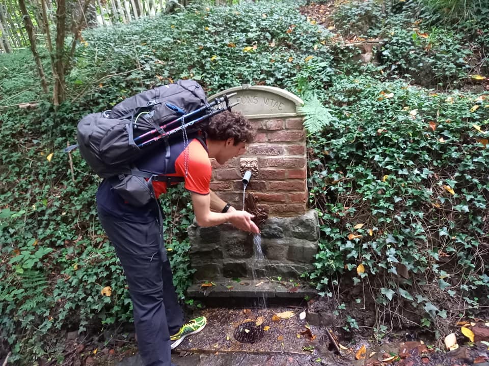
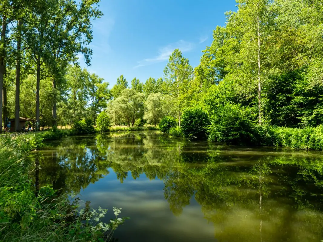
You will pass rolling hills with wooded ridges, green carpets of fields, and meadows with simple farmhouses embedded in them, or even a popular bar or cafe if you’re lucky. Be sure to bring your camera, because there are plenty of opportunities for romantic pictures along the way, too! This is a great option for a relaxing week out in the Flemish Ardennes.

Lenny Bassleer foto
Author

Lenny Bassleer

Lenny Bassleer is born in the Flemish Ardennes, in Belgium. He is known as the youngest person who ever walked the highest distance in a lifetime under the age category of -30 years old. With 2 world records and one European record, he is a crazy hiker. He hiked all over the world, finishing the Pacific Crest Trail, the GR5, the Via Francigena, and way more.

You can follow Lenny on Instagram Lenny Bassleer (@ultrawalkerlenny) • Instagram photos and videos


View profile

The Trail

However, the Flemish Ardennes are not an open-air museum either. Of course, people also live and work here in the 21st century and you see new subdivisions popping up, ribbon buildings, and more and more pavement. The strong modeling of the landscape by man is also noticeable in the remaining forest and nature reserves: they are all gems with sometimes even a sensational plant bloom, but they’re only small remnants of formerly much larger forests.

This chunk of the hilly Flanders is quite varied and occasionally even a bit challenging, although the short and sometimes even sharp slopes cannot be compared with the real Ardennes, let alone with European central mountains.

Our ancestors strongly kneaded the landscape of the Flemish Ardennes into what you see today: a patchwork of plucked forest, meadows, fields, farms, allotments.

GR Flemish Ardennes has been developed in such a way that it is possible to walk as much as possible on unpaved paths, although it is often also on paved roads for a longer time. Nevertheless, you can conclude that this is one of the most varied long trips you can make in Flanders, and it is definitely recommended. This landscape is at its most beautiful in April and May when the dust of cycling madness has settled.

This hiking trail runs in a loop shape and about 40% of the path is unpaved and can therefore be muddy. The rest is lightly paved with pebbles or gravel and is fine to hike alone or with a partner. It is highly recommended to walk this path in the spring season. The months of April and May will spoil your sense of smell and create unforgettable memories.

How to Get Around

The train stations in the cities of Oudenaarde, Ronse, and Geraardsbergen are 0.5 to 1.5 km from GR Flemish Ardennes. The walking route also runs past 2 smaller stations in Lierde and Zandbergen.

Most villages are accessible by De Lijn buses, especially from places such as Oudenaarde, Ronse, Brakel, Geraardsbergen, Zottegem, and Ninove. However, quite a few smaller villages and hamlets depend on the dial-a-bus system, especially during the weekend.

Important public transportation websites:
Train: NMBS official website
Bus: De Lijn

Stages

You can hike the GR Flemish Ardennes in 7 stages, with the option to modify the trail to your preferences.

Stage 1:

Oudenaarde – Kwaremont, 19 km | 11.8 mi

Stage 2:

Kwaremont – Kanarieberg, 24 km | 14.9 mi

Stage 3:

Kanarieberg – Geraardsbergen, 25 km | 15.5 mi

Stage 4:

Geraardsbergen – Sint – Lievens – Esse, 28 km | 17.4 mi

Stage 5:

Sin – Lievens – Esse – Rozebeke, 23 km | 14.3 mi

Stage 6:

Rozebeke – Maarke – Kerkem, 24 km | 14.9 mi

Stage 7:

Maarke – Kerkem – Oudenaarde, 14 km | 8.7 mi

Accommodations

There are several options to stay overnight. There is a (small) range of camping, hostels, hotels, Airbnbs, and so on. You can also find more information (only in Dutch) about the bivouac zones at bivakzone.be. In a bivouac zone, the facilities are very basic, you can stay there for free for a maximum of 16 hours, have a maximum of 10 people, and you must take care of the environment yourself under the motto ‘Leave No Trace.’ Making a fire is not allowed.

You can also find some accommodation options (B&B’s) on this website.

In addition, there are also a few campsites located close to the route. For the opening hours and rates of campsites, it is best to surf their websites for up-to-date information.

Best time of the year

The GR Flemish Ardennes is accessible all year round! Many people prefer the spring period because the flowers are in full bloom and it is less warm. In the summer months, most tourists come and accommodations can be full. But bars and restaurants are more open because of the summer season. The autumn period offers an exceptional view of Flemish nature. In the winter it can be quite cold, but still walkable.

I have a strong preference for spring as the most beautiful time to discover Region-GR Flemish Ardennes. In April, the forests first turn white from the many forest anemones, then some forests (such as the Koppenbergbos, Brakelbos, and Bos Ter Rijst) turn into a purple sea when bluebells bloom en masse. They are a delight for the eye and pleasant stimulation of the sense of smell. The entire month of May is also special in the Flemish-Ardennes landscape; trees present their fresh green leaves to the passing walker. During spring, avoid the days of the cycling classic Tour of Flanders, due to the crowds and cycling madness in the region. Unless you think that’s an extra asset, of course.

Rainy weather should not deter you from walking. Quite a few paths can be in muddy condition, but the rolling hills of the Flemish Ardennes are often the most attractive and contrasting under a cloudy sky. For example, we once walked on this regional GR in winter in stormy weather with rain, hail, and even snow gusts and with the occasional dash of sun. It produced beautiful images.

Safety & Gear

Be sure to bring enough water and snacks with you every day to maintain your energy and avoid dehydration or exhaustion. This means roughly 2 liters of water. We also recommend that you bring clothes that layer comfortably, with a hardshell rain jacket, just in case.

Check the weather before you hike each day and avoid being on the trail during extreme weather warnings. You can ask locals or check a weather radar app for information pertinent to your exact region.

Finally, Leave No Trace! Pack out your trash and leave the trail better than you found it.

Good to know

If you want to have a bed in the hostels/hotels, book in advance. The possibilities for camping are rare, so indoor sleeping will be the most common on the trail. Furthermore, enjoy the culture, history, and nature of the beautiful Flanders.

Route
Circuit
Highest point
156m (511 ft)

Want to submit a trail or make this page more complete?

Comments

Be the first one to comment on this trail!

Reply to this trail

Your email address will not be published. Required fields are marked *

Reply to this trail

Log in to comment on this trail
Always read the disclaimer

Terms of Use: important to all visitors on this website. We strive to publish high quality content and information on this website. However it’s always possible that we’re missing out on some crucial information. In spite of the fact that this route, associated GPS track (GPX and maps) were prepared under diligent research by the specified contributor and/or contributors, the accuracy of such and judgement of the author is not guaranteed. Therefore, hiking-trails.com and contributors are in no way liable for personal injury, damage to personal property, or any other such situation that might happen to individuals hiking or following this route. Should you choose to hike this trail, this is always at your own risk. Check out our guidelines for safety hiking and Leave No Trace principles at the hiking 101 page.

Download GPX

Join the community!

Login or create a FREE account 😊

With an account you can:

Download GPX files

Pin trails to your wishlist

Mark trails as hiked by you

Rate hiking trails

Comment on trails, blogs and gear reviews

Happy trails!
Login

Don't have an account yet? Register here