About the GR 92

Catalonia
country
Spain
length
571 km(355 mi)
Type of trail
Long-distance
difficulty

Difficulty is highly personal. Be aware of the weather conditions as bad weather turns easier trails in difficult trails especially in the mountains.

Difficult
accommodation

Lodging means a mix of hotels, hostels or AirBnB’s.

Lodging, Camping, Mountain huts
Elevation gain
9780 m(32087 ft)
terrain
Mountains, Coastal, Forest
remoteness
Most of the time
Show more

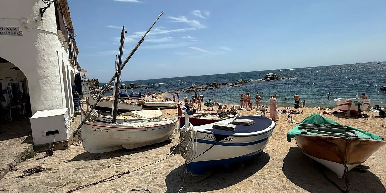
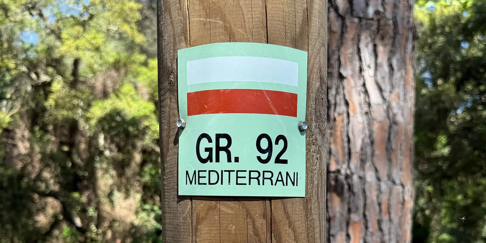
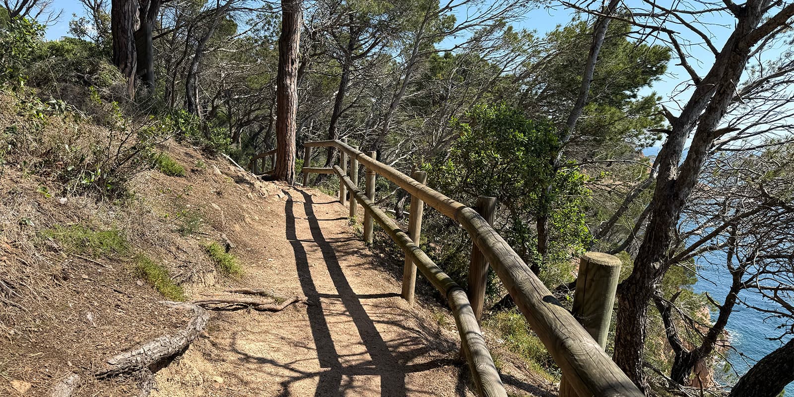
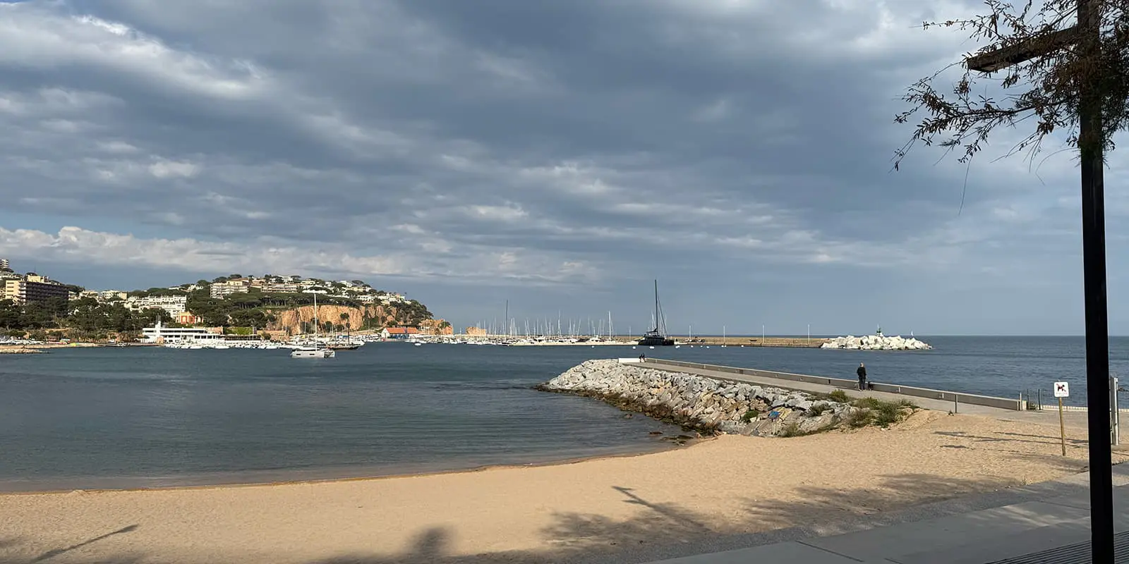
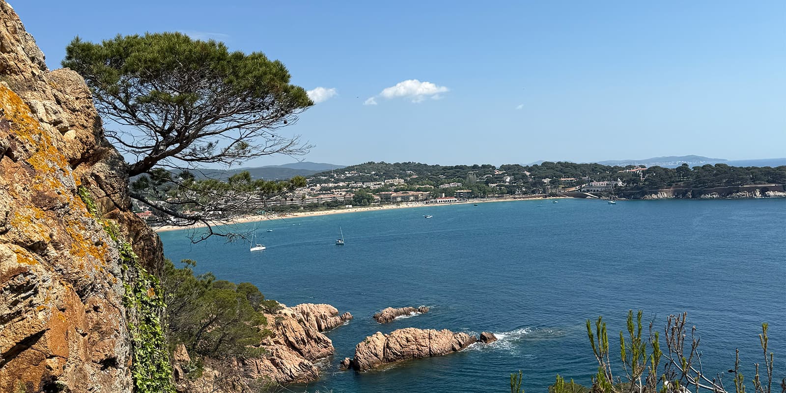
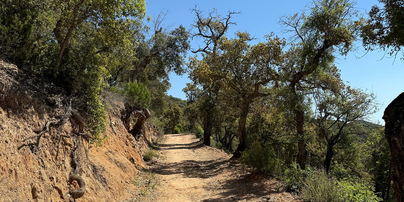
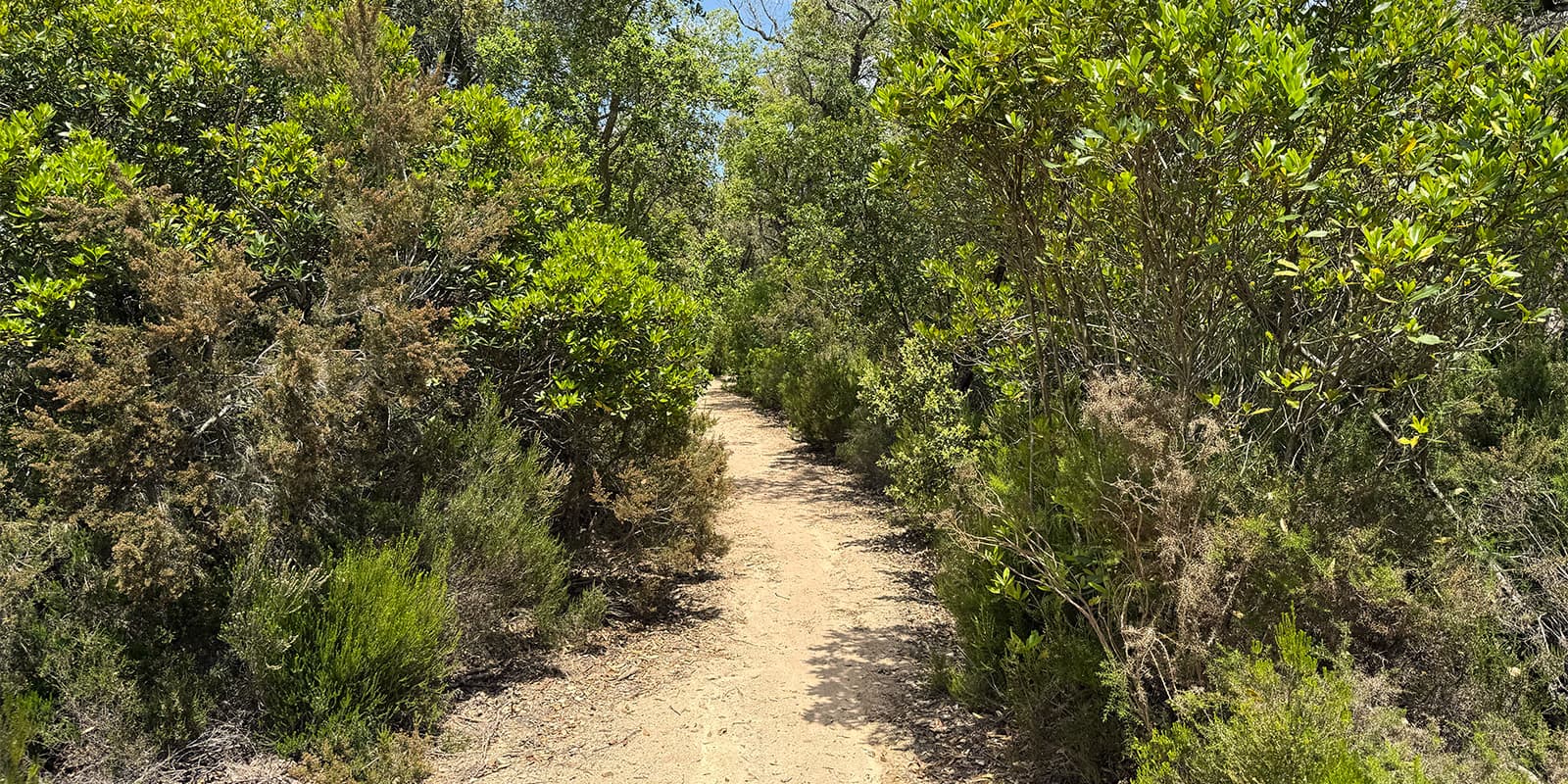
The GR 92 is a long-distance hiking trail that follows Spain’s Mediterranean coast. In Catalonia, it runs from Portbou on the French border to Ulldecona on the Valencian border, covering about 583 km in 31 stages. It builds on older paths like the Camí de Ronda, once used by coast guards to monitor the shoreline and stop smugglers.

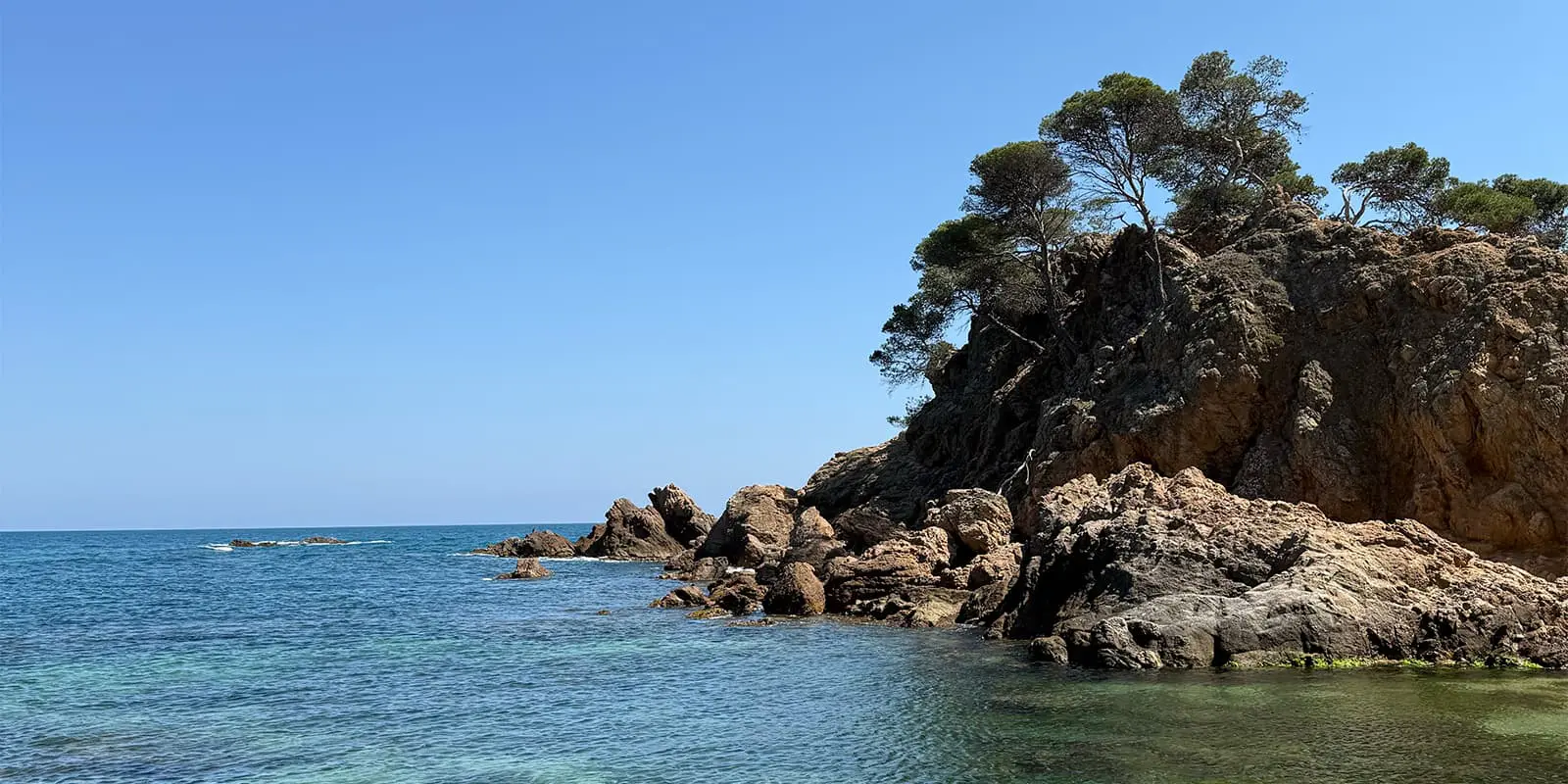
The route connects a range of environments: coastal towns, fishing harbors, rocky coves, beaches, inland wetlands, natural parks, castles, and hermitages. It passes through spots like Cap de Creus, the Aiguamolls wetlands, Collserola near Barcelona, and the Ebro Delta. Along the trail, you’ll also come across medieval towns, Montgrí Castle, Empúries, Sant Martí d’Empúries, and historical ruins.

women in blue smiling at camera
Editor

Katie Mitchell

After a whirlwind of 8 years on the road (and trail!), Katie has hiked the Camino Frances, the Peaks of the Balkans, the Fisherman’s Trail, and extensively in the United States. She is an avid trail runner and now lives in Colorado where she plays in the mountains in her free time. You can follow her adventures on Instagram.

View profile

The Trail

The GR 92 in Catalonia begins at Portbou and ends at the Pont de l’Olivar near Ulldecona. It is broken into 31 stages, ranging from about 10 km to 28 km. If you start in the north in Portbou, the trail will be quite mountainous and rocky to begin with. For the first week or so, you’ll hike on more exposed ridges, with a lot of elevation gain and descent. You’ll enjoy some dune hiking and lots of ocean views.

From stage seven, you’ll stay more in the pine wood forests and on coastal paths. It is much more gradual, and you’ll even hike on some stages of the Camí de Ronda. This is what most people think of when they think of the Spanish coast.

Week three, from stage 15, is when the coastal paths turn more into a hilly inland section. You’ll be closer to Barcelona (although you won’t go into the city) and will get to see Massís de les Gavarres and Collserola Park in the region as you hike. You’ll have more climbing here and forests.

Finally, on the last week of the trail, you will go back to the coastal paths and hike on the Garraf coast, in the Tarragona area, and on through the Ebro delta. The trail is much flatter, and you’ll see more marshes and farmland as you hike between beaches.

Accommodations

Most stages link towns with hotels, hostels, or guesthouses nearby . In summer, it’s best to book ahead in coastal areas. Camping is possible in some beachside or rural campsites, though wild camping is illegal. In wetlands and natural parks, you’ll find rural lodges or basic guesthouses. Services and meals are generally available in towns at the end of most stages.

Decide ahead of time if you will camp along the way or in accommodations in order to pack properly and create a successful resupply plan.

Best time of the year

You can hike the GR 92 year-round thanks to the mild Mediterranean weather. Summer (July & August) has high temperatures and crowding, so spring is best with cooler weather and fewer people . You’ll find that coastal towns stay active from late spring to early autumn. But outside that, some lodgings may close, and the weather is less predictable. However, it is technically possible to hike the trail all year. You just might have to be a bit creative and well-planned with your accommodations!

Safety & Gear

Hiking for 31 days on the GR92 takes some preparation, but not as much as you would think! Booking accommodations ahead of time will be key when you’re hiking in high season, but otherwise, you will be able to pick up provisions in town (including sunscreen!) and have plenty of chances to rest as you hike. Using resources that tell you where to camp (linked below) will help you measure how much you want to hike each day to stay on track and how much food to carry at any given point.

Be sure to pack layers for hiking along the coast, as it can go from sunny and hot to rainy and windy very quickly. You will also want to bring a backpack that is comfortable, along with shoes that won’t wear out on you. Make sure to check how the tread is doing on them before you go! Sand will wear them down pretty quickly, so you want to start with shoes that are in good shape.

Difficulty

This trail is listed as difficult for its length and varying elevations. However, it could be seen as a moderate-to-difficult hike. Because you will be on the trail for a long time, around a month, the preparation and impact on your body can be significant, but the elevation gain over that time is not drastic. Keeping your pack light and picking up food in each town will help mitigate the physical impact.

Good to know

If you start in Portbou, there are many train connections to/from France and Catalonia . Once you finish in Ulldecona, you can take a bus or train north or south from there. Public transport is good along the route; many stages start and end in towns with rail or bus stations. That makes it easy to skip or adjust stages and resupply along the way.

route
point-to-point
highest point
640m (2100 ft)
Water resources
At mountain huts and villages

Want to submit a trail or make this page more complete?

Always read the disclaimer

Terms of Use: important to all visitors on this website. We strive to publish high quality content and information on this website. However it’s always possible that we’re missing out on some crucial information. In spite of the fact that this route, associated GPS track (GPX and maps) were prepared under diligent research by the specified contributor and/or contributors, the accuracy of such and judgement of the author is not guaranteed. Therefore, hiking-trails.com and contributors are in no way liable for personal injury, damage to personal property, or any other such situation that might happen to individuals hiking or following this route. Should you choose to hike this trail, this is always at your own risk. Check out our guidelines for safety hiking and Leave No Trace principles at the hiking 101 page.

Download GPX

Join the community!

Login or create a FREE account 😊

With an account you can:

Download GPX files

Pin trails to your wishlist

Mark trails as hiked by you

Rate hiking trails

Comment on trails, blogs and gear reviews

Happy trails!
Login

Don't have an account yet? Register here