About the Glacier Trail

Saas-Fee
country
Switzerland
length
10 km(6 mi)
Type of trail
Day hike
difficulty

Difficulty is highly personal. Be aware of the weather conditions as bad weather turns easier trails in difficult trails especially in the mountains.

Difficult
accommodation

Lodging means a mix of hotels, hostels or AirBnB’s.

Lodging, Mountain huts
Elevation gain
619 m(2031 ft)
terrain
Mountains
remoteness
None of the time
Show more

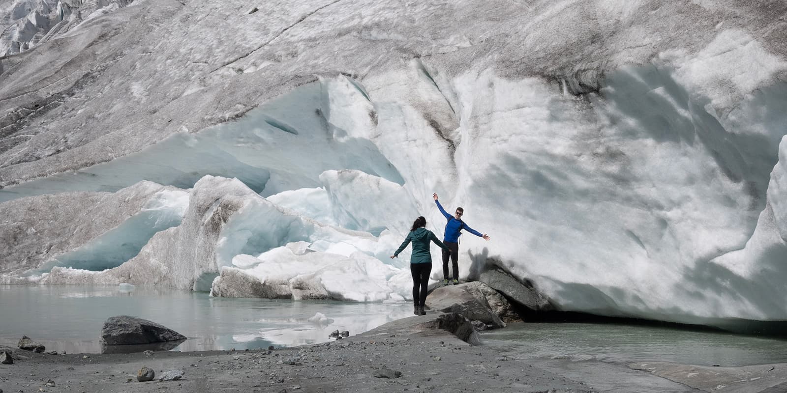
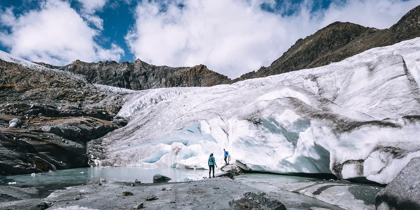
The Glacier Trail is a 10.2-kilometer (6.2 mi.) alpine day hike, where you will explore two of the glaciers around the Saas Valley – the Hohlaub and the Allalin glaciers.

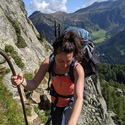
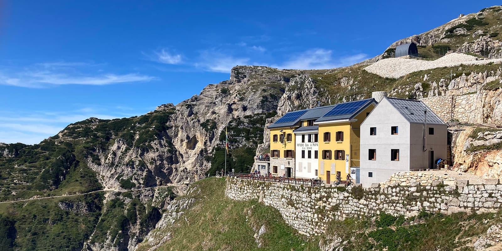
Whether hikers, winter sports enthusiasts, mountain bikers, mountaineers, or climbers, Saas-Fee has something for everyone. The car-free village is located in the Saas Valley in the Swiss canton of Valais.

Merle profile picture

Merle Wünderling

Merle is an outdoor enthusiast who’s passionate about hiking, rock climbing, mental health, and sustainability. Born in Germany but at home in the world, she’s hiked trails in New Zealand (Abel Tasman Coast Track, Kepler Track), Europe (Rota Vicentina/ Fishermen’s Trail, Tour du Mont Blanc, GR20 Corse, Kungsleden… ), and the Balkans (Peaks of the Balkans). Over the years she became a bit of a nerd, constantly improving her gear for upcoming hikes, such as GR11 Spain, Tour des Ecrins, Te Araroa, and the Transcaucasian Trail.

You can follow Merle on Instagram @merlewunderkind.

View profile

The Trail

The Glacier Trail starts from the Morenia Station in Saas-Fee and goes over the Egginerjoch and the Britannia Hut to the Mattmark area. The two glaciers that this hike is known for are located behind the Britannia Hut, which is also worth a visit for a break. From the hut, the path will take you through the two glaciers across a scree field that lies between them. The path is well-marked, but it is still worthwhile to download the GPX just in case.

After the Allalin glacier, you will climb over the snow and scree on a path that leads to the Schwarzbergchopf, where you’ll have a stunning view of the Mattmark reservoir. From here, red and white signposts guide the partly exposed and steep way down to the Schwarzbergalp. Once you reach Schwarzbergalp, there will be a mountain road that leads you down to the Mattmark reservoir.

Best time of the year

The Glacier Trail can be hiked from July to September. This is when the trail conditions will be best and you will have the safest passage. If you are unsure of the accessibility of the trail and want to call ahead of time, you can check in with the Saas Fee Valley Tourism Board before you head to Saas Fee. It’s better to be safe than sorry!

Safety & Gear

The Glacier Trail is a difficult alpine hiking trail, Therefore, it is important to gather information about the route (length, altitude, difficulty, current conditions) and assess your skills realistically before the hike.

As you prepare, it’s important to keep in mind that the weather in the high mountains can change quickly. Always check the trail conditions and local weather forecasts. As you pack and decide on your layers, you’ll want to be prepared for all conditions, including rain, sun, or snow. Especially when glaciers are involved!

Difficulty

The Glacier Trail is a difficult alpine hiking trail in partly steep terrain. It requires very good physical condition as well as surefootedness. You will have to overcome climbing sections. You should also be free from vertigo when it comes to more exposed sections. T4 hiking routes require previous experience in alpine hiking environments and you should not attempt this without prior knowledge of the alpine.

Good to know

The Glacier Trail in Saas-Fee/Saastal can be reached easily by public transport. The SBB takes you to Visp, where you change to the bus 511 towards Saas-Fee.

If you decide to come by car, you can take either the Furka Pass/ Furka car transport from the east or the Simplon Pass/ Simplon car transport from the south. There are parking lots right at the entrance to Saas-Fee.

route
point-to-point
highest point
3.037m (9.963 ft)

Want to submit a trail or make this page more complete?

Always read the disclaimer

Terms of Use: important to all visitors on this website. We strive to publish high quality content and information on this website. However it’s always possible that we’re missing out on some crucial information. In spite of the fact that this route, associated GPS track (GPX and maps) were prepared under diligent research by the specified contributor and/or contributors, the accuracy of such and judgement of the author is not guaranteed. Therefore, hiking-trails.com and contributors are in no way liable for personal injury, damage to personal property, or any other such situation that might happen to individuals hiking or following this route. Should you choose to hike this trail, this is always at your own risk. Check out our guidelines for safety hiking and Leave No Trace principles at the hiking 101 page.

Download GPX

Join the community!

Login or create a FREE account 😊

With an account you can:

Download GPX files

Pin trails to your wishlist

Mark trails as hiked by you

Rate hiking trails

Comment on trails, blogs and gear reviews

Happy trails!
Login

Don't have an account yet? Register here