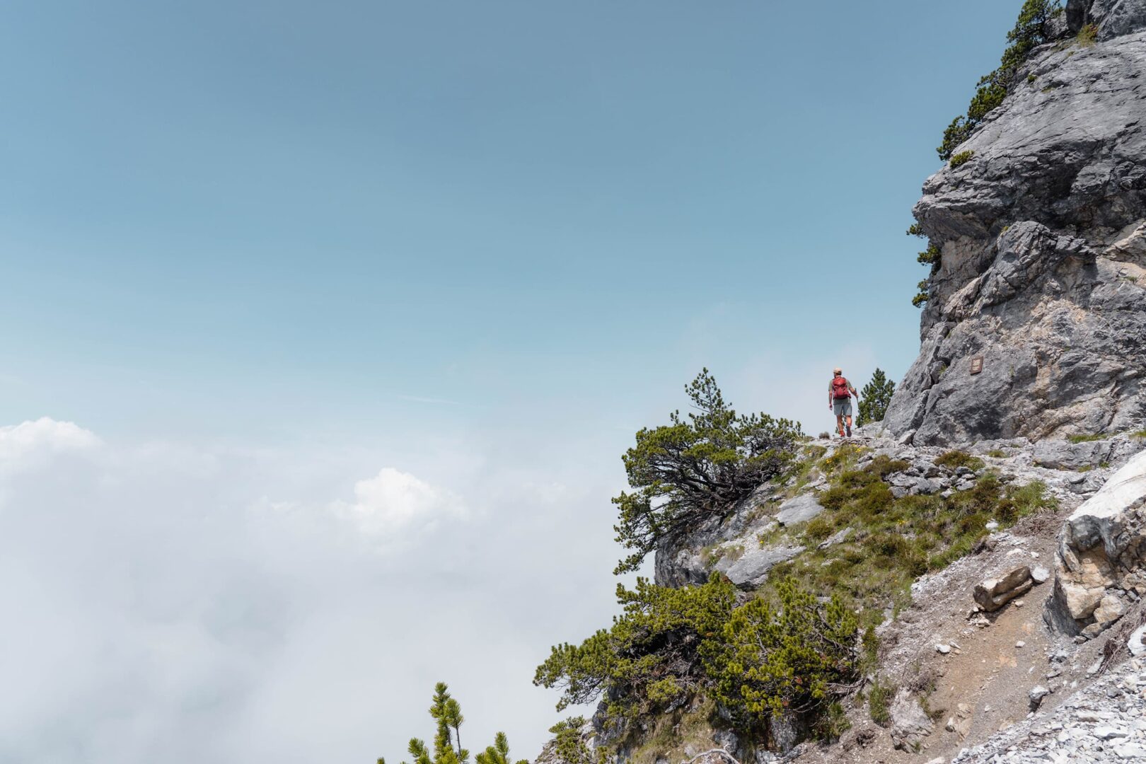
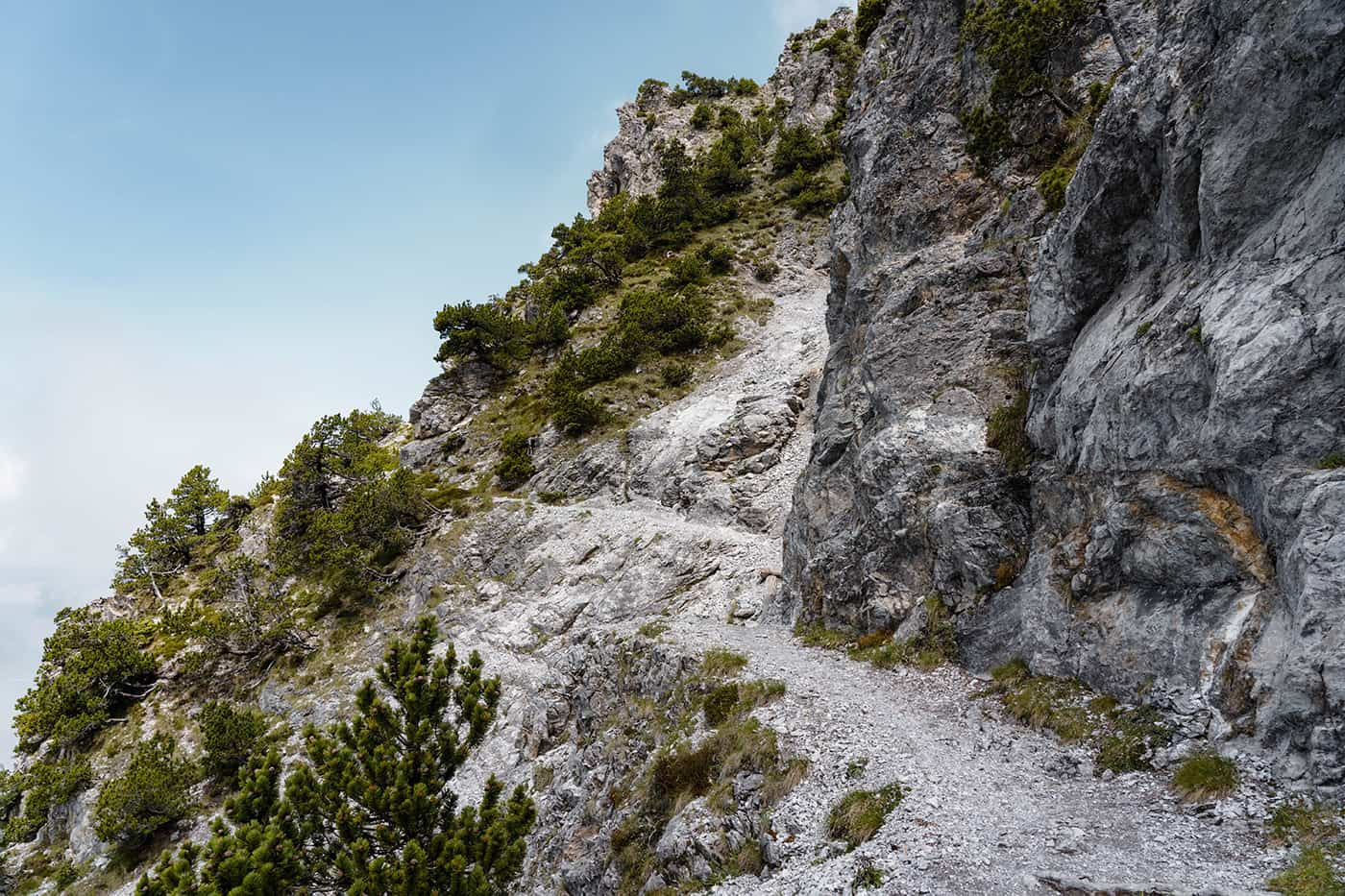
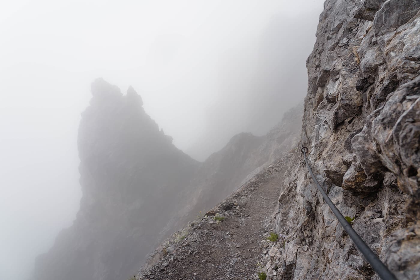
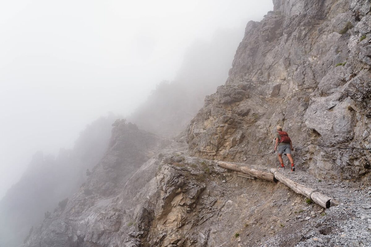
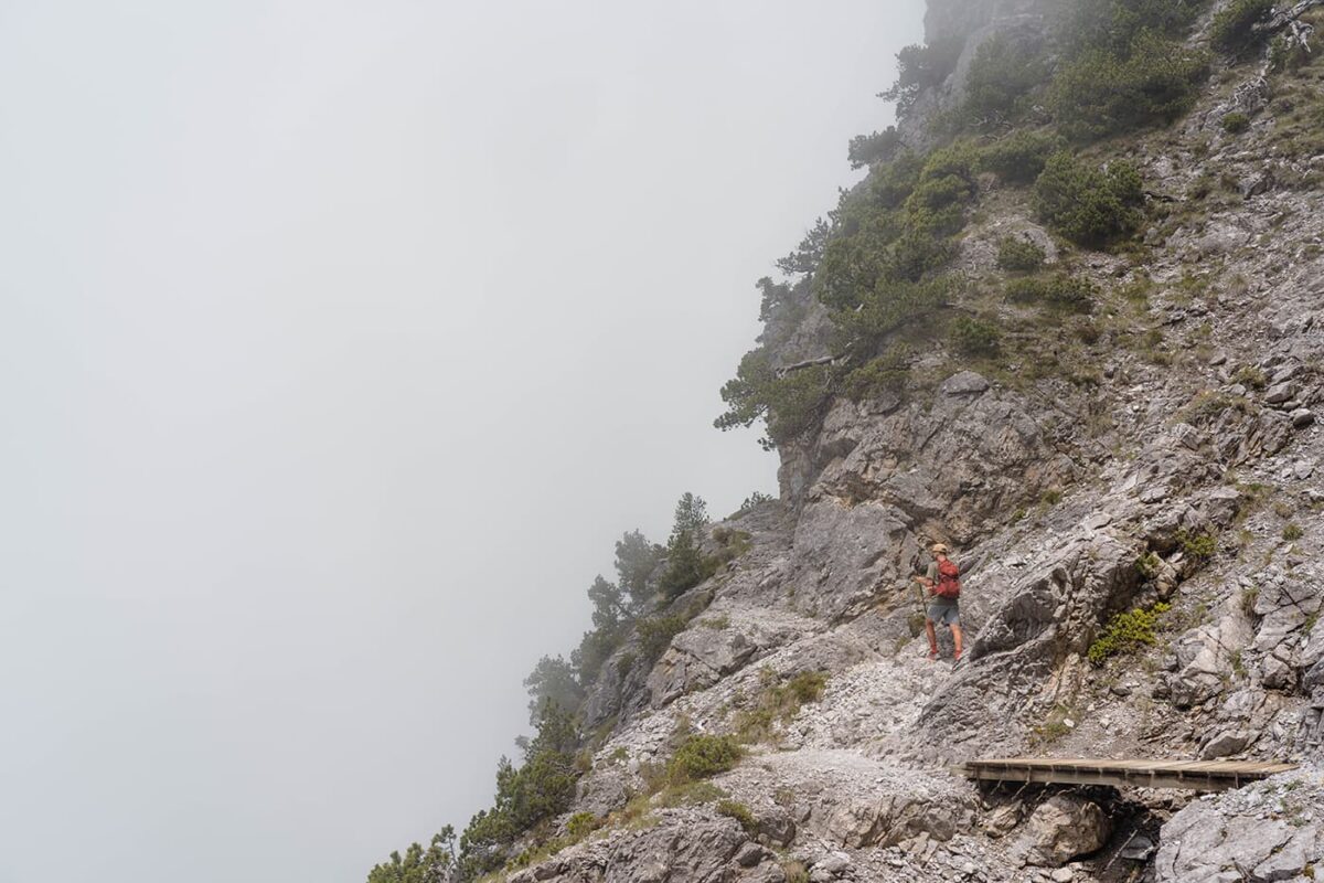
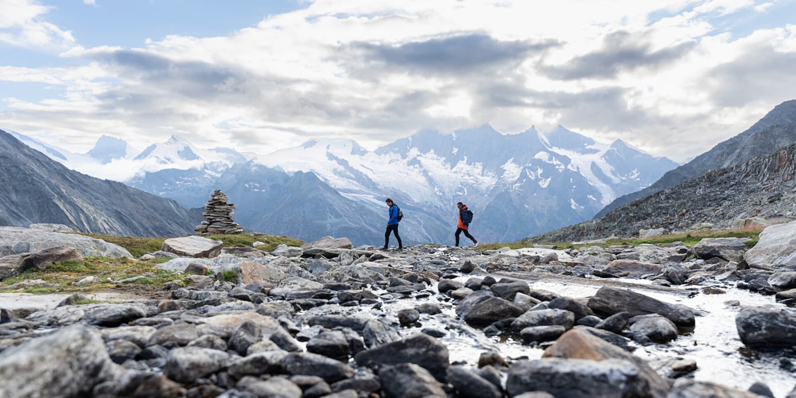
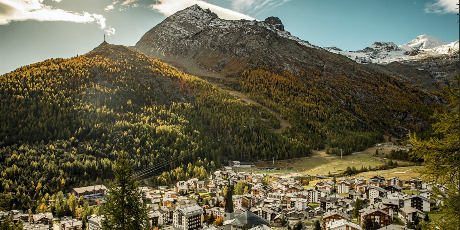
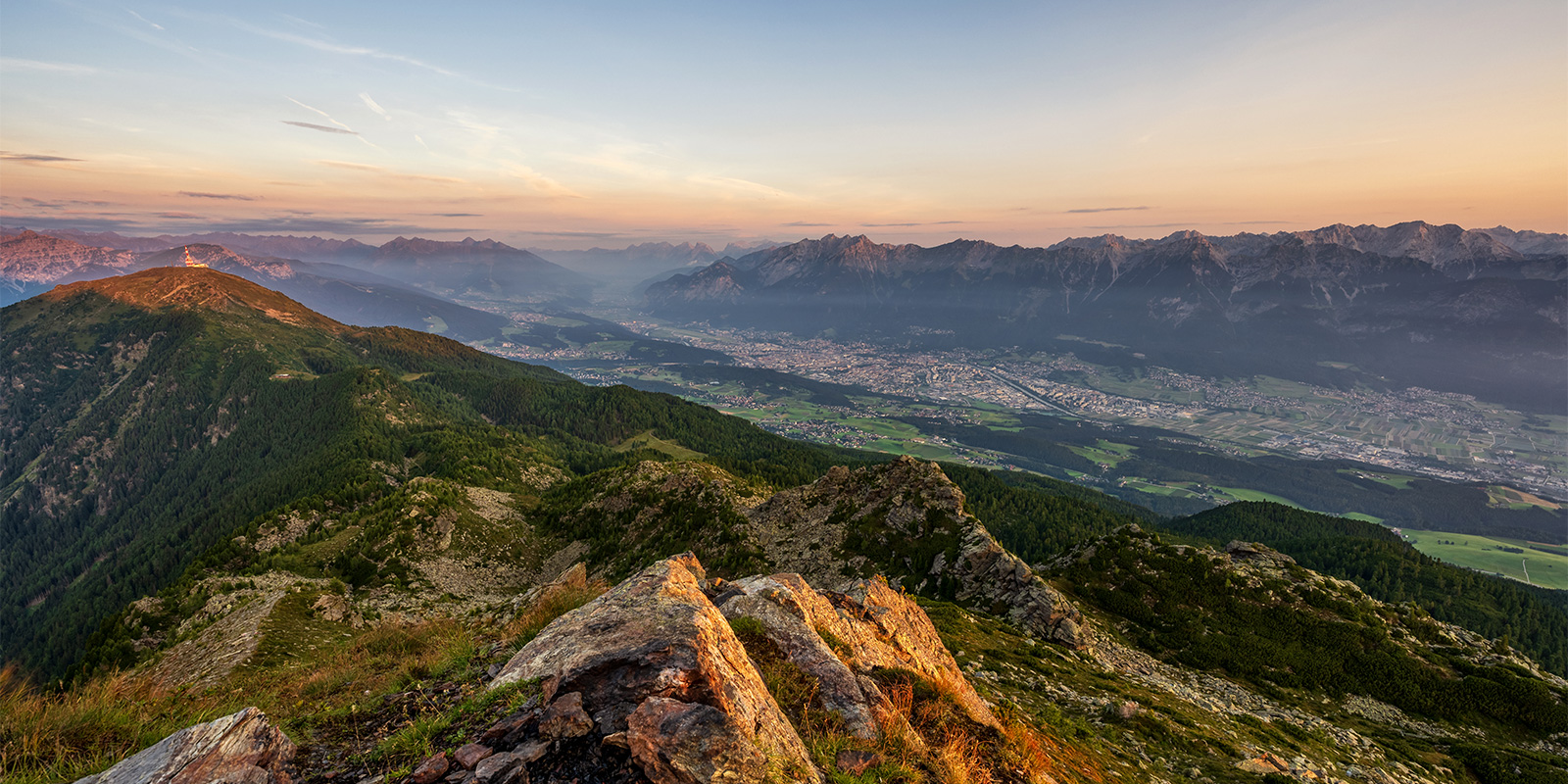
man hiking on small mountain path

Fürstensteig – Three Sisters

Drei Schwestern Weg

About the Fürstensteig – Three Sisters

country
Liechtenstein
length
12 km(7 mi)
Type of trail
Day hike
difficulty

Difficulty is highly personal. Be aware of the weather conditions as bad weather turns easier trails in difficult trails especially in the mountains.

Strenuous
Elevation gain
1560 m(5118 ft)
terrain
Mountains
remoteness
Most of the time
Show more

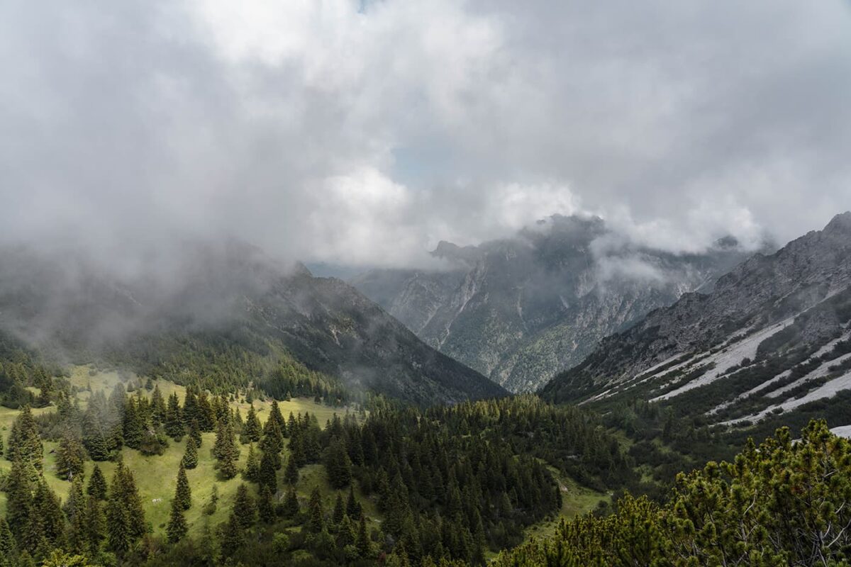
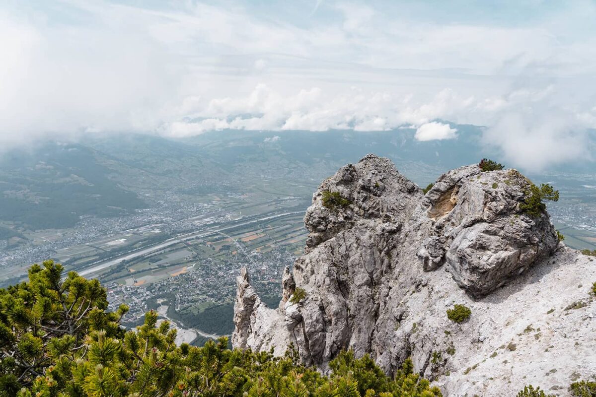
In the heart of Europe, you’ll find the tiny country of Liechtenstein. In this country, you’ll find the challenging Fürstensteig – Three Sisters day hike. With just over 12 kilometers of alpine hiking trails, this is a beautiful way to enjoy Liechtenstein’s higher trails and overlook the country.

Also called the Fürstentum Liechtenstein, it is surrounded by Switzerland to the west and south and Austria to the east and north, and spans just over 160 square kilometers, making it the fourth smallest state in Europe. Despite its size, Liechtenstein attracts tourists and hikers from all over the world.

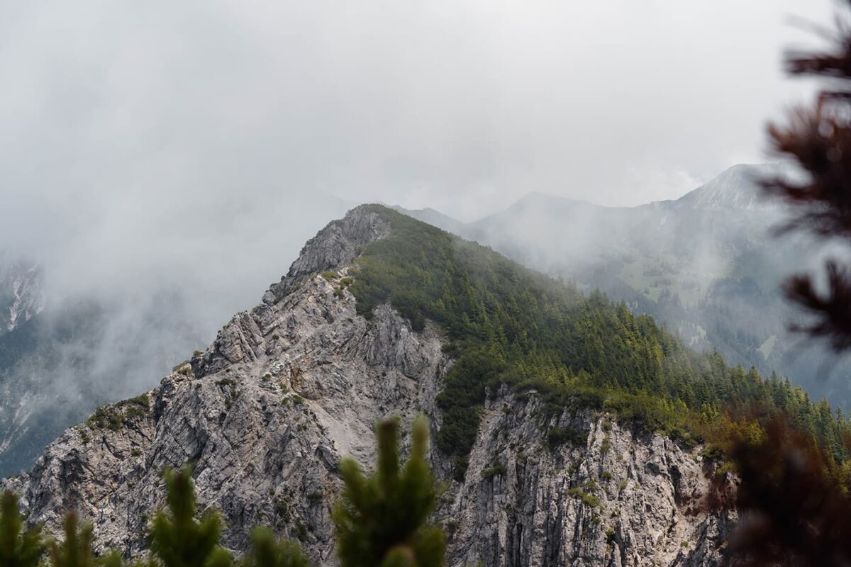
First established in 1898, the Fürstensteig and Three Sisters trails are known for their adventurous and exquisitely designed paths. They are linked by a scenic route that offers panoramic views as it meanders along the mountain ridges overlooking the Austrian Rätikon mountain range, along with the Swiss and Vorarlberg alpine landscapes.

Elmar profile picture
Editor

Elmar Teegelbeckers

Passionate hiker Elmar spends months of his time on the trail. He’s usually on the lookout for hidden gems in one of his favourite countries such as Slovenia, Switzerland and Japan. He founded hiking-trails.com in need for a community and detailed information about the trails. Before this, he worked for the Alpine asscociation in the Netherlands[ (NKBV) but lost his heart to the trails.

Not long ago, Elmar published the book (in Dutch) Hiking Trails – best long-distance trails in Europe. With this book, website and socials, he hopes to inspire and shape an inclusive community for hikers all over world. No matter your speed, experience or level, you can get out there to enjoy the trails and connect with the heartwarming hiking community. Life is so much better outside and he hopes to inspire hikers to take their first, or next, step on the trail.

You can reach Elmar at info@hiking-trails.com.

View profile

The Trail

INFO: This is a high alpine mountain trail with serious drops and narrow paths. Only for sure-footed hikers.

If you want to avoid the more difficult trails, consider hiking the Fürstensteig via Bärgällasattel and the Three Sisters via Alp Garsella/Garsella Eck.

If you hike these trails, you’ll hike first on the Fürstensteig as this goes over the Drei-Schwestern-Weg (Three Sisters Trail). Both trails are celebrated as iconic mountain trails. These trails, designed for hikers who are confident on their feet, follow narrow trails that wind through cliffs which are only for hikers without vertigo.

Accommodations

A perfect stay in Liechtenstein is the Schaan-Vaduz Swiss Youth Hostel, a great affordable place to meet other hikers and enjoy the healthy food in the hostel.

During your hike, consider a stop or even an overnight at the Gafadura hut, operated by the Liechtenstein Alpine Club, open from mid-May to mid-October.

Best time of the year

The best time to hike the Fürstensteig trail is typically from late spring to early fall, roughly between early June and late September. This period offers the best weather conditions, with warmer temperatures, less or no snow on the trails, and longer daylight hours, making them the perfect months for hiking in Liechtenstein.

Safety & Gear

It’s important to know that mountain weather can be unpredictable, so it’s always a good idea to check the local weather forecast and trail conditions before setting out. Additionally, the Gafadura cabin, mentioned as a lodging option along the trail, is also open during this optimal hiking period, providing a convenient stopover for hikers.

Bring always the essentials for your day hike such as good sturdy shoes for mountainous terrain, and be sure to layer up with a baselayer, mid-layer, and hardshell for rain conditions. Bring enough food and always a minimum of two liters of water with you. Download the GPX on your device and bring when necessary a paper map with you.

Good to know

This is a difficult mountain trail for hikers with secure feet and alpine experience. Please consider another trail if you have a fear of heights. You can park the car in Gaflei or take the bus from Vaduz to Gaflei. Also, you can return with the bus from Hotel Soroja in Planken.

Route
Point to point
Highest point
2052m (6732 ft)

Want to submit a trail or make this page more complete?

Comments

Be the first one to comment on this trail!

Reply to this trail

Your email address will not be published. Required fields are marked *

Reply to this trail

Log in to comment on this trail
Always read the disclaimer

Terms of Use: important to all visitors on this website. We strive to publish high quality content and information on this website. However it’s always possible that we’re missing out on some crucial information. In spite of the fact that this route, associated GPS track (GPX and maps) were prepared under diligent research by the specified contributor and/or contributors, the accuracy of such and judgement of the author is not guaranteed. Therefore, hiking-trails.com and contributors are in no way liable for personal injury, damage to personal property, or any other such situation that might happen to individuals hiking or following this route. Should you choose to hike this trail, this is always at your own risk. Check out our guidelines for safety hiking and Leave No Trace principles at the hiking 101 page.

Download GPX

Join the community!

Login or create a FREE account 😊

With an account you can:

Download GPX files

Pin trails to your wishlist

Mark trails as hiked by you

Rate hiking trails

Comment on trails, blogs and gear reviews

Happy trails!
Login

Don't have an account yet? Register here