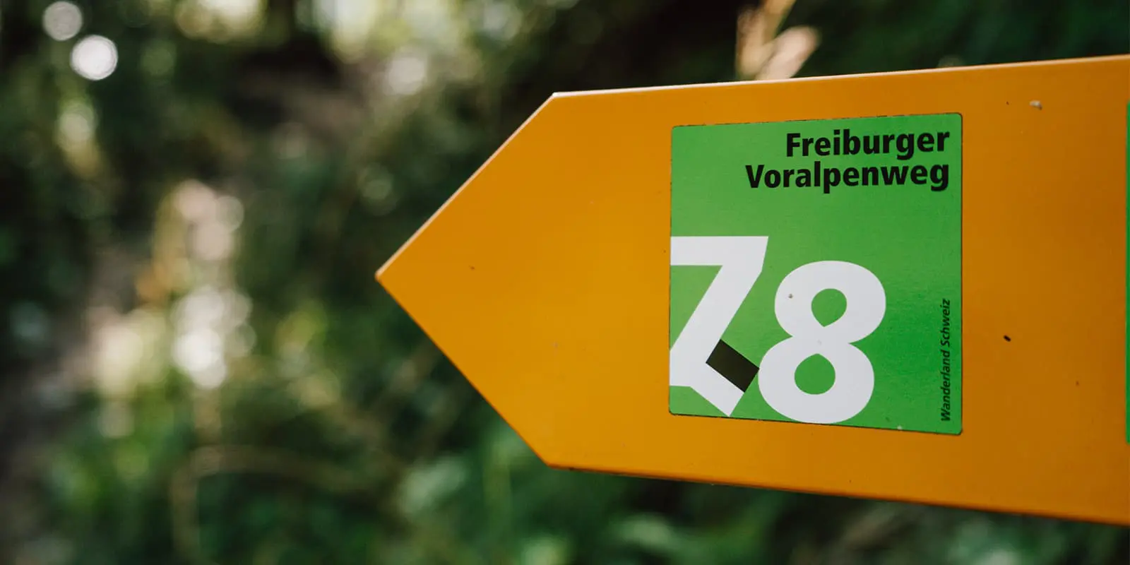
The Freiburger Voralpenweg takes you from the old city center of Fribourg to the mountains of Gruyère. The altitude slowly increases with distance, making the first stages a nice warm-up. Along the first half of this 75-kilometer route, there are no mountain huts, but bed & breakfasts, hotels and AirBnB’s to choose from. The second half of the trip is a mini hut-to-hut tour.
Freiburger Voralpenweg
The Trail
You’ll start the first day roaming the streets of the university town Fribourg, southwest of Bern. Make sure to try local delicatessens in the bakery and wander past old buildings that are somehow still in very good condition. When you’re ready to go, you’ll cross the 13th-century bridge and follow gravel paths through the rolling hills. Enjoy the views over meadows with cows and small patches of forest and notice how the language of the street names changes often in a small distance. This happens because you will be walking on the German-French language border. On the horizon, you can see the higher mountain peaks in the distance.
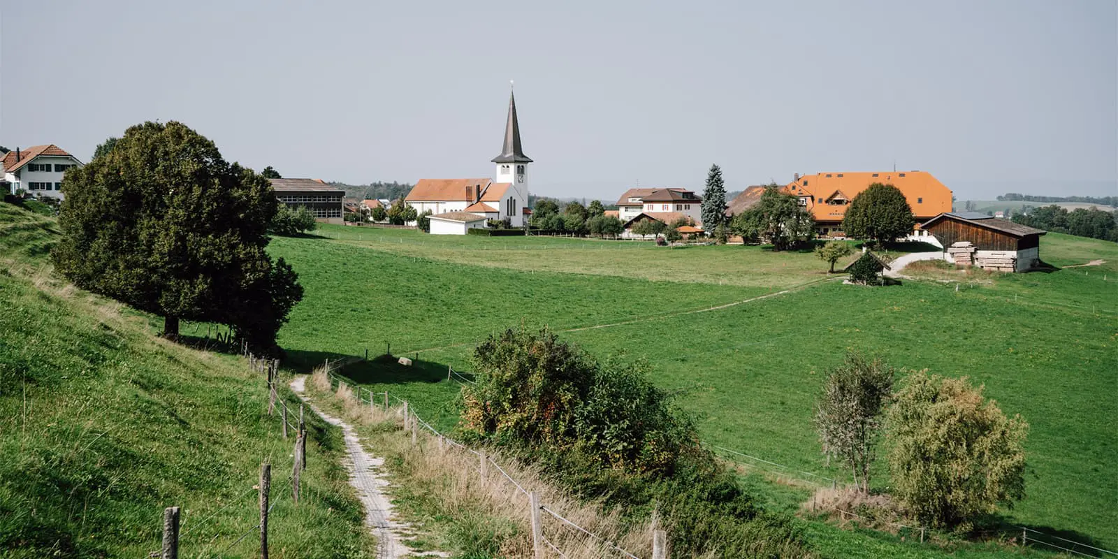
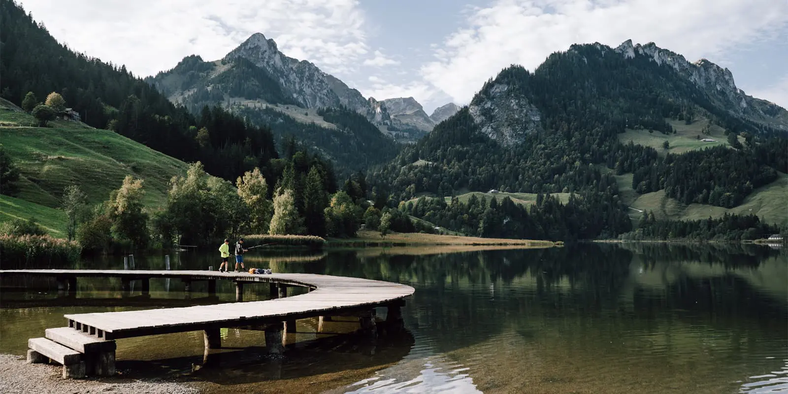
The next day, you’ll leave the quiet village of Rechthalten to start into the fields. On a sunny day, they turn golden in the warm morning light. A long forest path will take you to a clearing at the top of a hill. Here, you can enjoy the clattering of the drinking fountain from one of the benches near the little white chapel. A gravel path will lead you out of the shade and into the open fields. Here, you can spot the white church with a black roof, surrounded by the stately white houses of Plaffeien. With hazy mountain tops at the horizon, this place proves that an easy hike does not mean the views are not spectacular. On the other side of the village, the route follows one of the last wild rivers of the Alps, the Sense. Follow the river upstream until you’ve reached the lake of Schwarzsee.
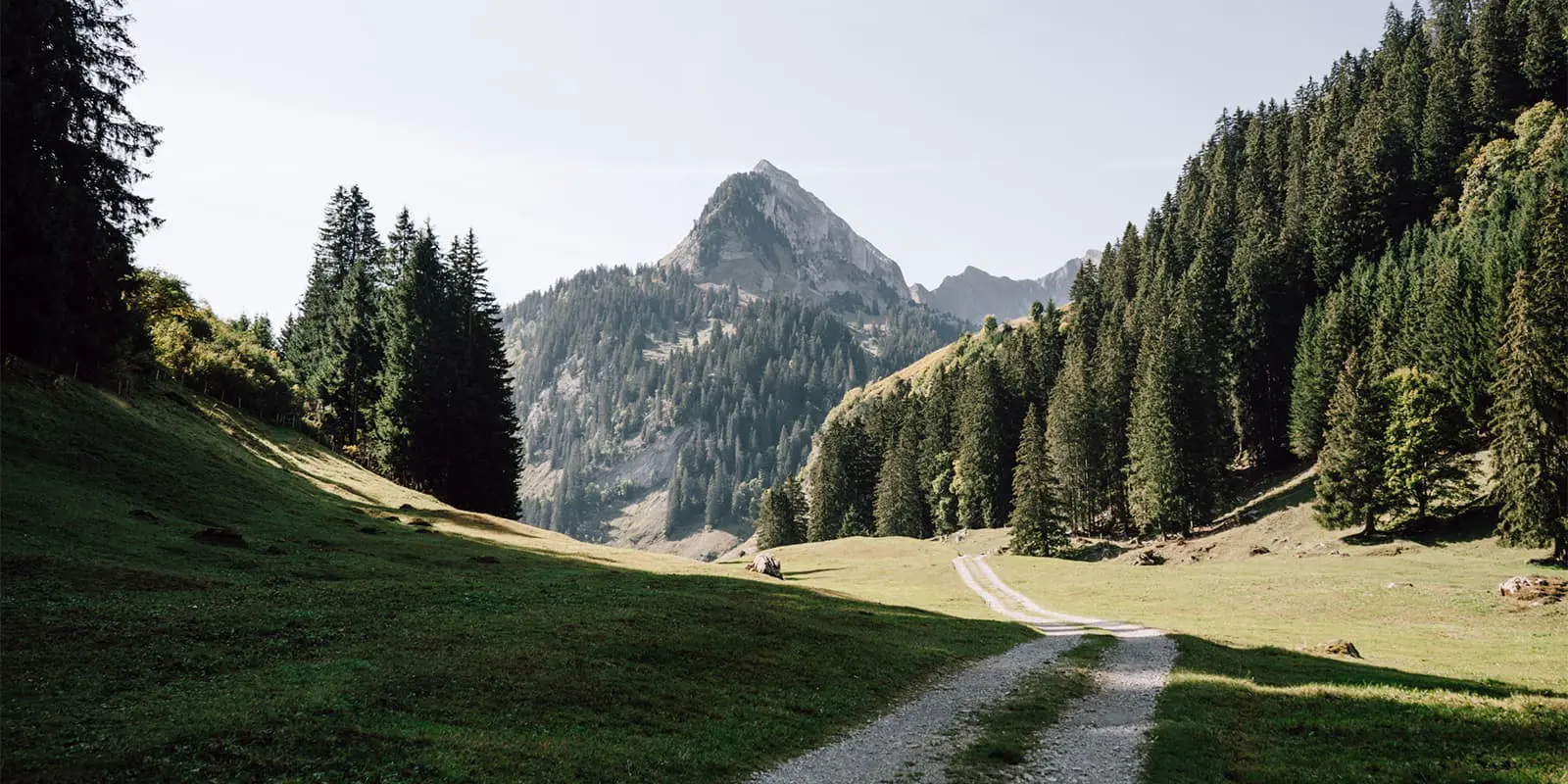
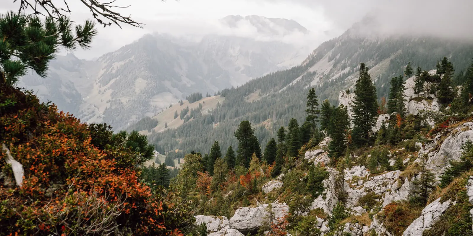
From Schwarzsee, you can follow the Freiburger Voralpenweg on gravel paths ascending the mountain. If your legs are not ready for such an ascent, you take the Kaiseregg cable car up. Now, you are finally at a higher altitude, among the mountains that you saw on the horizon in the past two days. Walk along the debris flank of the Kaiseregg, the pointed summit that dominates the view. Follow the farm track over the pasture with cows, all the way to the 1,560-meter Euschels Pass. If the wind is not too strong, this is a perfect place for a picnic with a view. From here, you will descend into the typical Swiss village of Jaun. Something nice to visit here is the graveyard of the old church, where the jobs of the deceased are shown on their headstones.
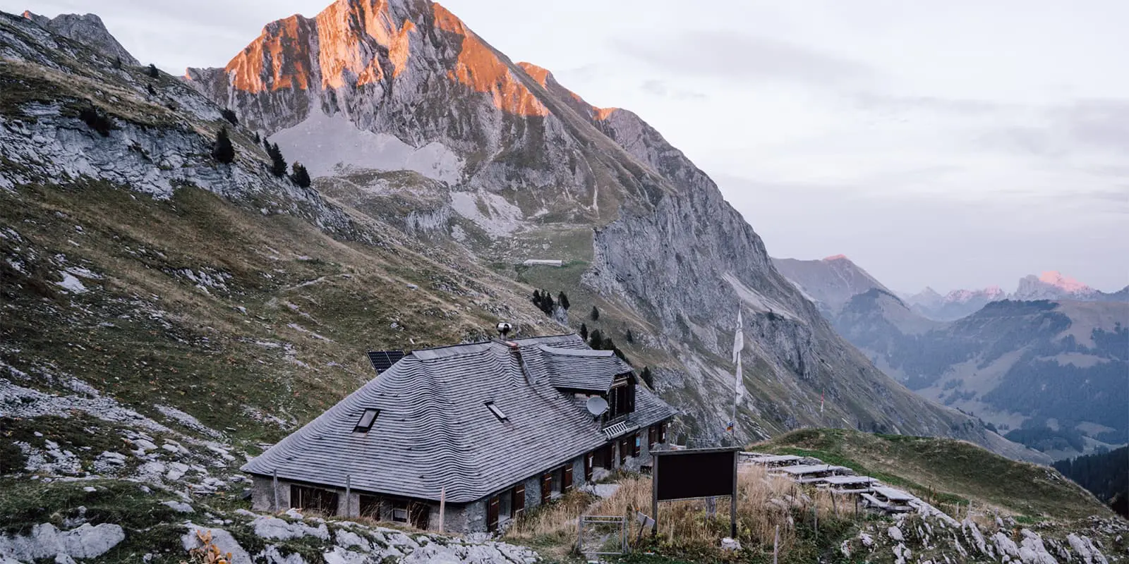
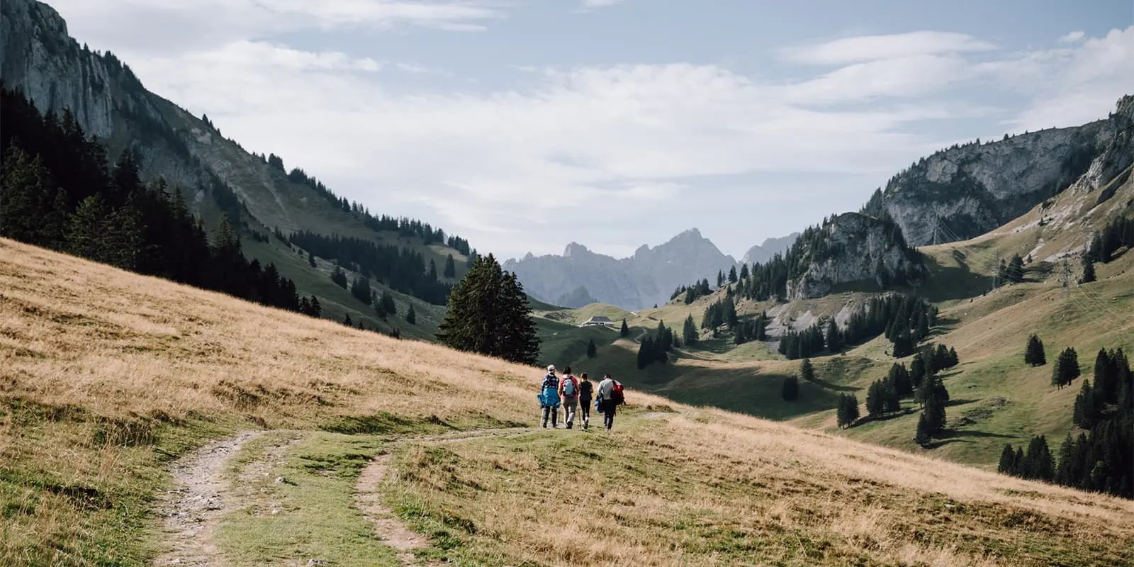
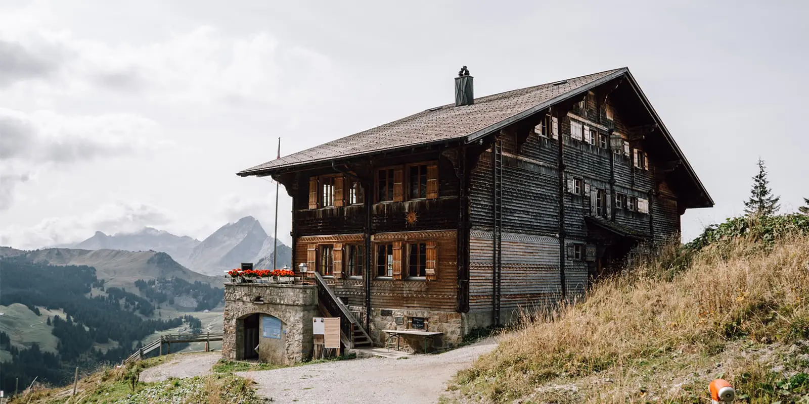
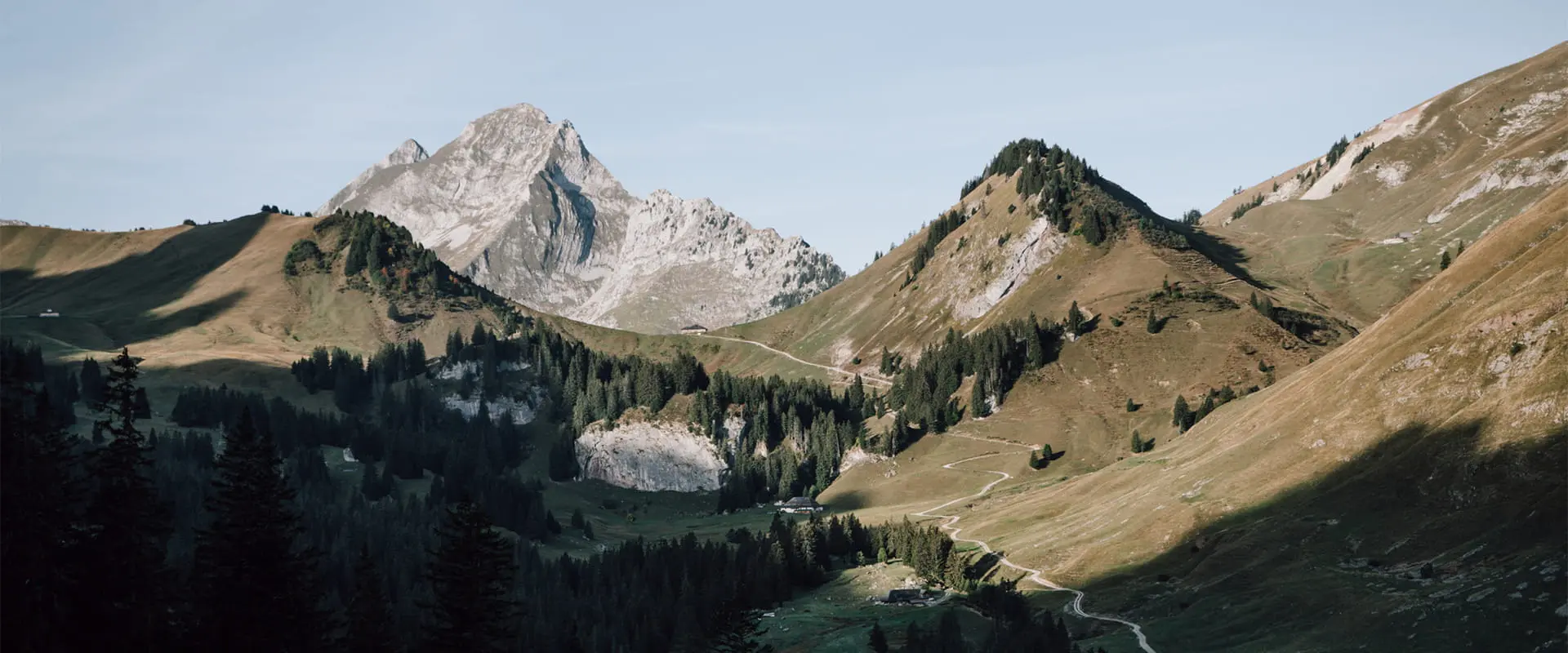
Before taking the uphill path from Jaun, make sure to shop some local delicatessens in the town bakery. Don’t miss the Gruyere cheese and a sweet roll with saffron. Now, it’s time to follow the route uphill, passing a waterfall and looking down on the orange roofs of the village. After you’ve left the forest, an open landscape with a farm and a mountain restaurant awaits you. The real eye-catcher is the Gastlosen mountain range. You’d expect this kind of mountain, with light rocks and many steep peaks, in the Dolomites, but not in this kind of landscape. You’ll walk along the steep slopes to the Chalet du Soldat, and because this stage is so short, you have time to explore the mountains a bit more from the hut.
The next day, on your way to Cabane des Marindes, you get plenty of opportunities to be more amazed by the Gastlosen. You leave the hut into a valley at the foot of the mountains. The path is more narrow and uneven here, but nothing technical or exposed. At the end of the valley, it’s time to say goodbye to this special mountain. You are now entering the Vanil Noir nature reserve. This area is known for the many wildflowers in spring, and the many herds of chamois that graze the slopes. The ascent to Cabane des Marindes might make your leg muscles burn, but the views up there are worth it. Not only the views of the mountains surrounding the hut but also views of the characteristic hut itself.
For the last stage of this tour, you backtrack for a few kilometers. At a lower altitude, and – if you’re lucky – after spotting some more chamois, you round the mountain. You’ll enter another valley, with green mountain slopes and peaks, and in the far distance, the white cap of the Mont Blanc. You’ll gently descend over the green mountain slope. The closer to the town of Château-d’Oex you get, the more cattle, farms, and people you’ll see. Château-d’Oex is known as the hot-air balloon town, and if you time your visit well, you might see colorful balloons rise between the mountains.
Stages
6-stage itinerary
Fribourg – Rechthalten, 13.2 km | 8.2 mi
Rechthalten – Schwarzsee, 15.9 km | 9.9 mi
Schwarzsee – Jaun, 13.6 km | 8.5 mi
Jaun – Chalet du Soldat, 6.7 km | 4.2 mi
Chalet du Soldat – Cabane des Marindes, 12.2 km | 7.6 mi
Cabane des Marindes – Château-d’Oex, 13.2 km | 8.2 mi
Photo gallery
Accommodations
The first three stages of the Freiburger Voralpenweg end in quiet towns with a few hotels and Airbnbs. If you have trouble finding a place in Rechthalten, book two nights in Schwarzsee and use buses to travel between the two towns.
The fourth and fifth stages end at the doorstep of a mountain hut. Chalet du Soldat is the bigger and more modern one of the two. The staff knows how to cook mountain comfort food and serve three delicious courses. Cabane des Marindes is run by volunteers and doesn’t offer meals. You can order a very light soup, and if you’re lucky they have some drinks in stock. Bring your own food to prepare with boiling water from the kitchen. Don’t forget to take a little walk further onto the plateau near sunset, because there’s a large group of chamois coming together to graze.
Accommodation in Schwarzsee
Accommodation in Schwarzsee
Accommodation in Jaun
Best time of the year
The Freiburger Voralpenweg stays mostly at a relatively low altitude. That means it’s accessible earlier in spring and until later in autumn than many other hut-to-hut routes.
Walk in April or May to enjoy a sea of wildflowers. Walk in late September or October to enjoy autumn colors. Between June and early September, you have the largest chance of clear paths and nice weather. That’s also the best time to travel if you enjoy company in the huts. On weekdays early and late in the season, there’s a large chance you’ll be the only guest in the huts. The advantage of this is that you don’t have to make a reservation and can show up last minute.
Safety & Gear
The first 3 stages of the Freiburger Voralpenweg are not far from a walk in the park. You could even do these when there is a layer of snow. The last three stages are at a higher altitude level, surrounded by more prominent peaks. Here, you should be more wary of fog, thunderstorms, and snow fields. The path is nowhere near exposed, and near the highest points, there are often huts or a cablecar station to seek shelter.
In the first three stages, it’s easy to leave the route during the day or at the end of the stage. For the more remote stages between Jaun and the endpoint, this is not the case. Check the weather forecast before you set off from Jaun.
You don’t need specific safety gear for this hike. Do bring a map and keep in mind that phone signal is patchy on the more remote stretches.
Good to know
The Freiburger Voralpenweg is relatively unknown and therefore quieter than other hut-to-hut hikes. The landscapes are even more beautiful in autumn, although you might not be able to use a lift during that time of the year. If you’re looking for a shorter adventure, hike only the last 3 stages, which could easily fit in 2 days.
Make sure to bring enough cash with you if you need to use a bus to travel along the route. In 2023, the local buses didn’t accept card payments. Finding a cash machine along the route is not easy and local businesses are not able or willing to help out.
Useful links
Terms of Use: important to all visitors on this website. We strive to publish high quality content and information on this website. However it’s always possible that we’re missing out on some crucial information. In spite of the fact that this route, associated GPS track (GPX and maps) were prepared under diligent research by the specified contributor and/or contributors, the accuracy of such and judgement of the author is not guaranteed. Therefore, hiking-trails.com and contributors are in no way liable for personal injury, damage to personal property, or any other such situation that might happen to individuals hiking or following this route. Should you choose to hike this trail, this is always at your own risk. Check out our guidelines for safety hiking and Leave No Trace principles at the hiking 101 page.
Download GPX


