About the Forststeig

country
Germany
length
105 km(65 mi)
Type of trail
Long-distance
difficulty

Difficulty is highly personal. Be aware of the weather conditions as bad weather turns easier trails in difficult trails especially in the mountains.

Moderate
accommodation

Lodging means a mix of hotels, hostels or AirBnB’s.

Trekking huts, Camping, Lodging, Shelters
Elevation gain
2911 m(9551 ft)
terrain
Mountains, Forest, Hills
remoteness
Some of the time
Show more

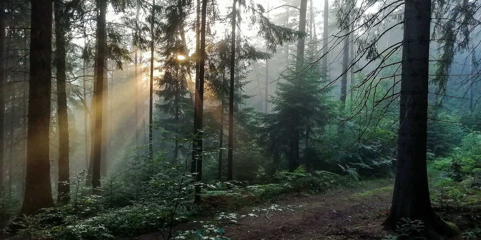
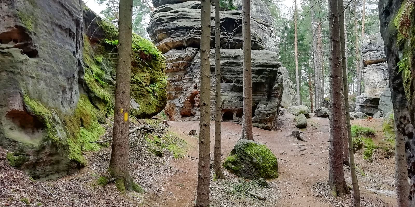
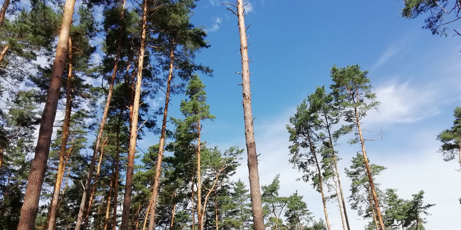
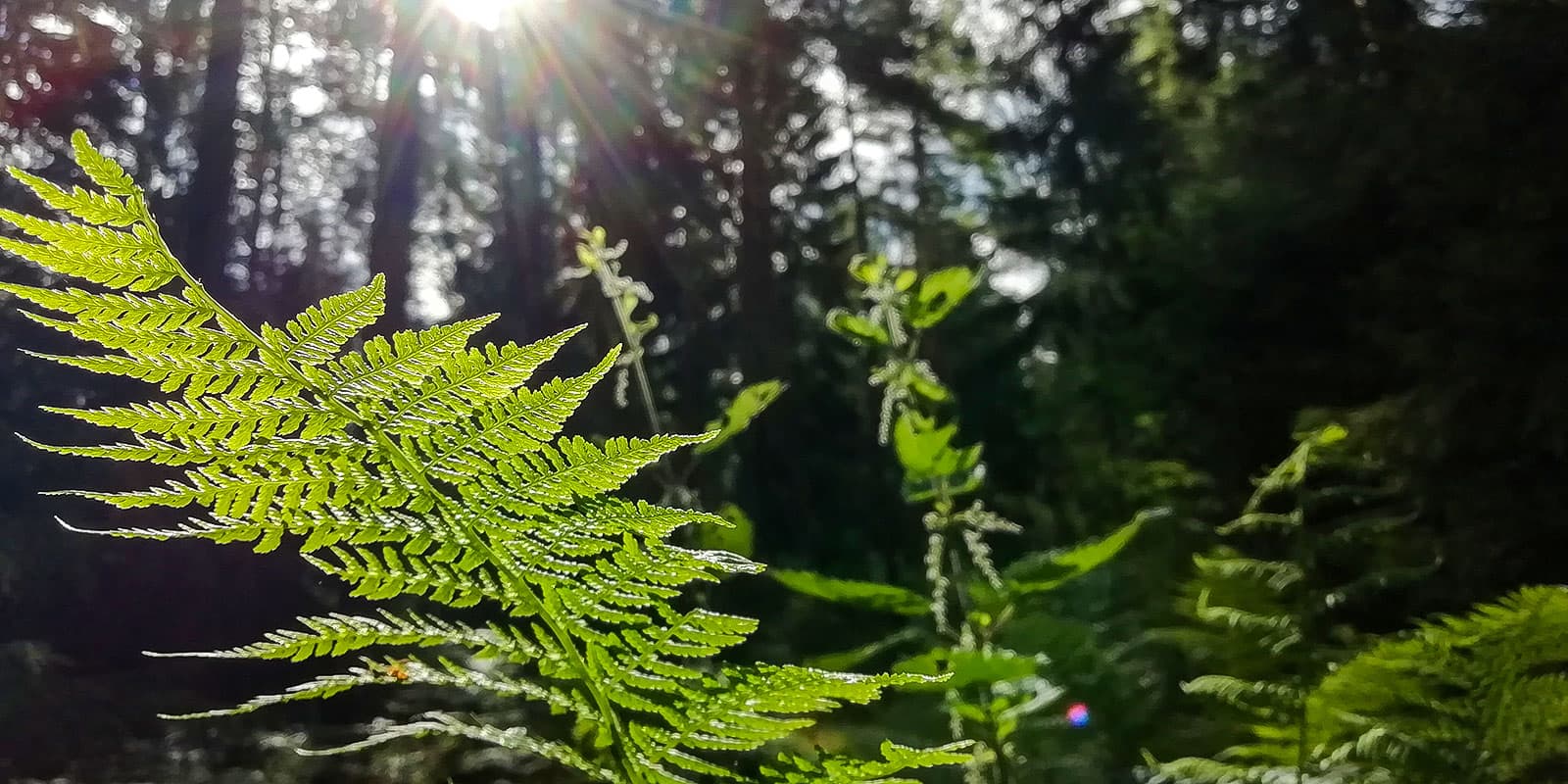
The Forststeig is the less touristic alternative to the Malerweg on the left bank of the Elbe (river) in Saxon and Bohemian Switzerland (east of Germany/Czech Republic). New as of 2018, the Forststeig is one of the newer, yet still not overly-popularized, long-distance hiking trails in Germany.

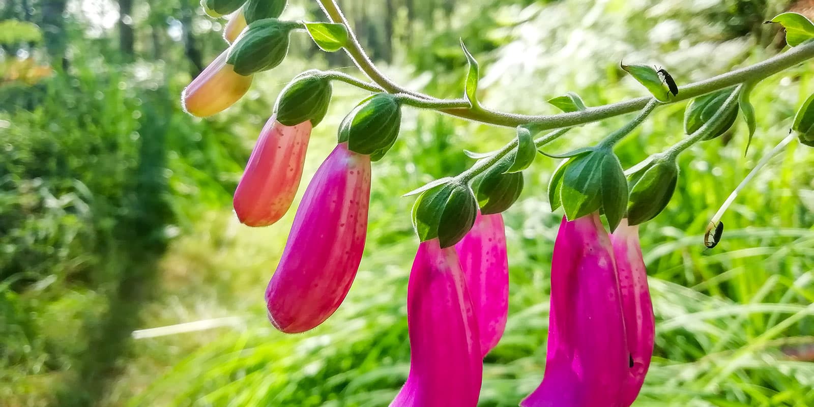
The trail winds 105 kilometers (65 mi.) through deserted forests, past unique sandstone towers, and up and down 13 panoramic table mountains. It is perfect if you crave quietness and solitude in nature, even from other hikers. You will enjoy one of the most unique ecological environments in Germany, a great example of its vastness and diversity. A week in this region is a holiday you won’t want to miss!

Merle profile picture

Merle Wünderling

Merle is an outdoor enthusiast who’s passionate about hiking, rock climbing, mental health, and sustainability. Born in Germany but at home in the world, she’s hiked trails in New Zealand (Abel Tasman Coast Track, Kepler Track), Europe (Rota Vicentina/ Fishermen’s Trail, Tour du Mont Blanc, GR20 Corse, Kungsleden… ), and the Balkans (Peaks of the Balkans). Over the years she became a bit of a nerd, constantly improving her gear for upcoming hikes, such as GR11 Spain, Tour des Ecrins, Te Araroa, and the Transcaucasian Trail.

You can follow Merle on Instagram @merlewunderkind.

View profile

The Trail

From the train station in Schöna, the route runs south along the slopes of the Elbe River to the idyllic Gelobtbachtal. It continues uphill to the panoramic view of the big Zschirnstein and further on through peaceful forests to the Grenzbaude junction. Here, you will find a 100-year-old self-catering trekking hut.

From Grenzbaude, the trail takes you from Germany, through wild stretches of land, including carpets of blueberry bushes and birch trees, towards the Czech Republic. There, you will climb up Hoher Schneeberg. At 723m, it is the highest table mountain of the Elbe Sandstone Mountains. The descent afterwards guides you past a popular climbing area, all the way to the campsite in Ostrov.

The next day is more adventurous and you will hike through wild canyons and rocky landscapes. Shortly before Tisa, the path crosses the German-Czech border again. It continues through birch forests. The day ends at the trekking hut in Beutwald.

From Beutwald, the Forststeig winds through the climbing paradise of Bielatal, with its bizarre rock formations. At Daxensteinbaude, you can purchase snacks and drinks. The trail alternates between rocks and forest and changes sides of the valley several times and old border paths and forest trails will guide you to the Rotsteinhütte trekking hut.

The next day has some panoramic views to offer. On the way from the Rotsteinhütte
to Nikolsdorf, it starts with the Schneeberg view at Katzstein, followed by the Lampertsstein Mountain view. At the end of the day, you will arrive at a bivouac in Nikolsdorf.

Compared with the other stages, the next one might become a little more touristic. The reason therefore is the well signposted Pfaffenstein, a popular viewpoint with a restaurant for day visitors. Here you can choose to either take a side trip up Pfaffenstein or follow the forest paths around. On the outskirts of Gohrisch, you can bivouac in the old greenhouse of ‘Alte Gärtnerei,’ an old garden center.

The last stage is rather short. It guides you across three more table mountains, the Gohrisch, the Papststein, and the Kleinhennersdorfer Steine, back to the train
station in Bad Schandau.

Stages

The Forststeig is typically hiked in seven days. Depending on your timeframe and condition, you can combine stages.

7-day itinerary

Stage 1:

Schöna – Grenzbaude, 15 km | 9.3 mi

Stage 2:

Grenzbaude – Ostrov, 15 km | 9.3 mi

Stage 3:

Ostrov – Beutwald, 14 km | 8.6 mi

Stage 4:

Beutwald – Rotsteinhütte, 20 km | 12.4 mi

Stage 5:

Rotsteinhütte – Nikolsdorf, 20 km | 12.4 mi

Stage 6:

Nikolsdorf – Gohrisch, 12 km | 7.4 mi

Stage 7:

Gohrisch – Bad Schandau, 9 km | 5.5 mi

Accommodations

When hiking Forststeig, you’re free to choose between five simply equipped and shared trekking huts for up to 12 people. As well, there are six bivouac sites for up to five two-man tents at each site. To stay in trekking huts and bivouac sites you have to purchase a trekking ticket in advance. The proceeds from the trekking tickets go towards the maintenance and care of the Forststeig.

For those who are looking for a little more comfortable accommodation, there are campsites as well as guesthouses, which can be reached via smaller detours. On the official Forststeig website, you´ll find a list of accomodations with Forststeig Partners.

Accommodations per stage

Stage 2:

Ostrov Autokemp pod Cisarem

Stage 3:

Beutwald Willys Ruh trekking hut

Stage 5:

Bivouac in Nikolsdorf

Stage 6:

Gohrisch bivouac in the old greenhouse of ‘Alte Gärtnerei’

Best time of the year

Hiking the Forstweg is possible all year long. But the best time of the year to hike Forststeig is from April to October when trekking huts are open.

The most convenient times are in late spring (May to June) or early autumn (September to October), when the temperatures are mild. Due to fewer tourists than in summer (July to August), these seasons are perfect for those who want to avoid the crowds.

Safety & Gear

Before the hike, gather information about the route (length, altitude, difficulty, current conditions) and assess your skills realistically.

Plan your overnight stays and keep in mind that wild camping in the forest is prohibited. Please choose between trekking huts or bivouac sites (purchase and bring your trekking ticket!) or book campgrounds or guesthouses instead.

Adapt your equipment to the tour. Wear layers, choose suitable footwear, and be prepared for rain and shine. Bring sufficient food and drinking water as well as a water filter. Also, remember to bring a first-aid kit. A map or GPS will help you find your way. If you walk by yourself, share your plans with somebody else for your safety.

Before you start to hike, check the local weather forecast, as rain, wind, and cold increase the risk of accidents.

During the hike avoid taking shortcuts and stay on marked trails. Pay attention to closures and notices due to forestry work.

Difficulty

Forststeig is a demanding trekking route. It leads over a total of thirteen table mountains with many steep ascents and descents. Therefore, a good level of fitness is required.

Good to know

Take enough drinking water with you and top up your water supply whenever possible. Springs are rare and you won’t come across many villages. At the trekking huts and bivouac sites, there´s only collected rainwater available for use. Therefore, it is recommended to use good topographical hiking maps or apps, where springs and other watersourses are marked. Also, bring suitable equipment for water treatment.

The Forststeig can be reached easily by public transport, which runs every day during the season. A standardized fare (VVO-Tarif) applies to all trains, the bus, and almost every ferry. Timetables are coordinated with one another and short distances make transfers between methods of transportation easy. A sustainable arrival and departure has never been easier!

route
point-to-point
highest point
723m (2372 ft)

Guidebooks

guidebook forststeig

Guidebook (German only)

View guidebook

Want to submit a trail or make this page more complete?

Always read the disclaimer

Terms of Use: important to all visitors on this website. We strive to publish high quality content and information on this website. However it’s always possible that we’re missing out on some crucial information. In spite of the fact that this route, associated GPS track (GPX and maps) were prepared under diligent research by the specified contributor and/or contributors, the accuracy of such and judgement of the author is not guaranteed. Therefore, hiking-trails.com and contributors are in no way liable for personal injury, damage to personal property, or any other such situation that might happen to individuals hiking or following this route. Should you choose to hike this trail, this is always at your own risk. Check out our guidelines for safety hiking and Leave No Trace principles at the hiking 101 page.

Download GPX

Join the community!

Login or create a FREE account 😊

With an account you can:

Download GPX files

Pin trails to your wishlist

Mark trails as hiked by you

Rate hiking trails

Comment on trails, blogs and gear reviews

Happy trails!
Login

Don't have an account yet? Register here