About the Fimmvörðuháls

country
Iceland
length
24 km(15 mi)
Type of trail
Day hike
difficulty

Difficulty is highly personal. Be aware of the weather conditions as bad weather turns easier trails in difficult trails especially in the mountains.

Difficult
Elevation gain
1000 m(3281 ft)
terrain
Mountains
remoteness
Most of the time
Show more

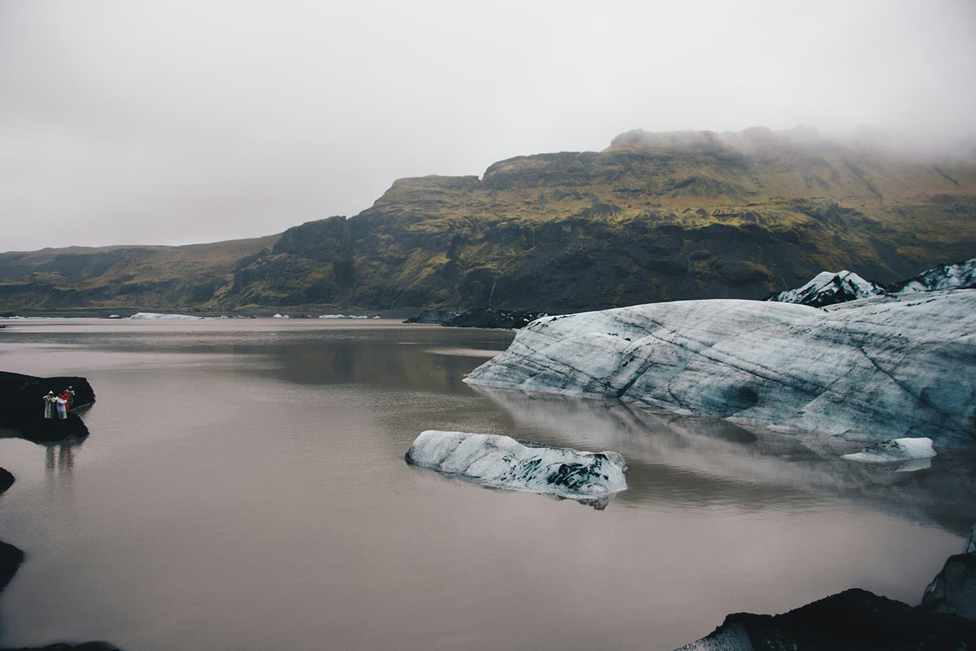
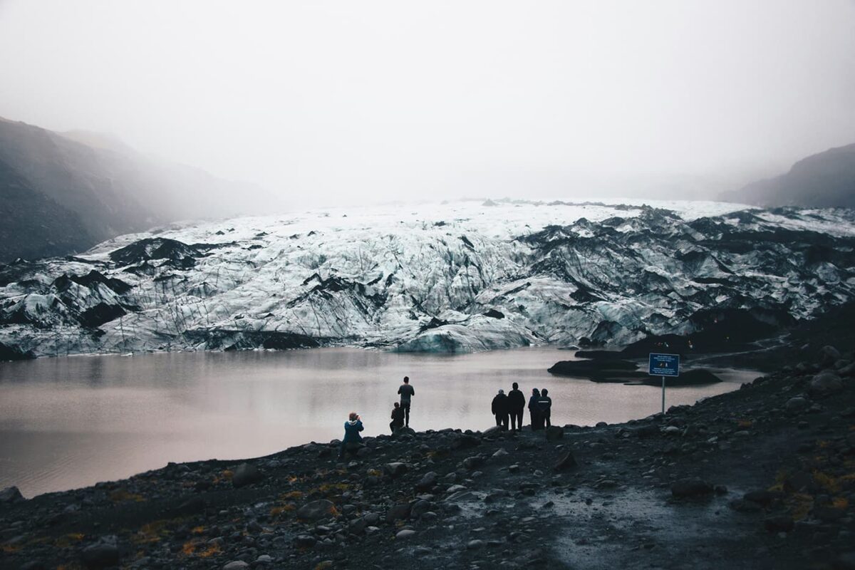
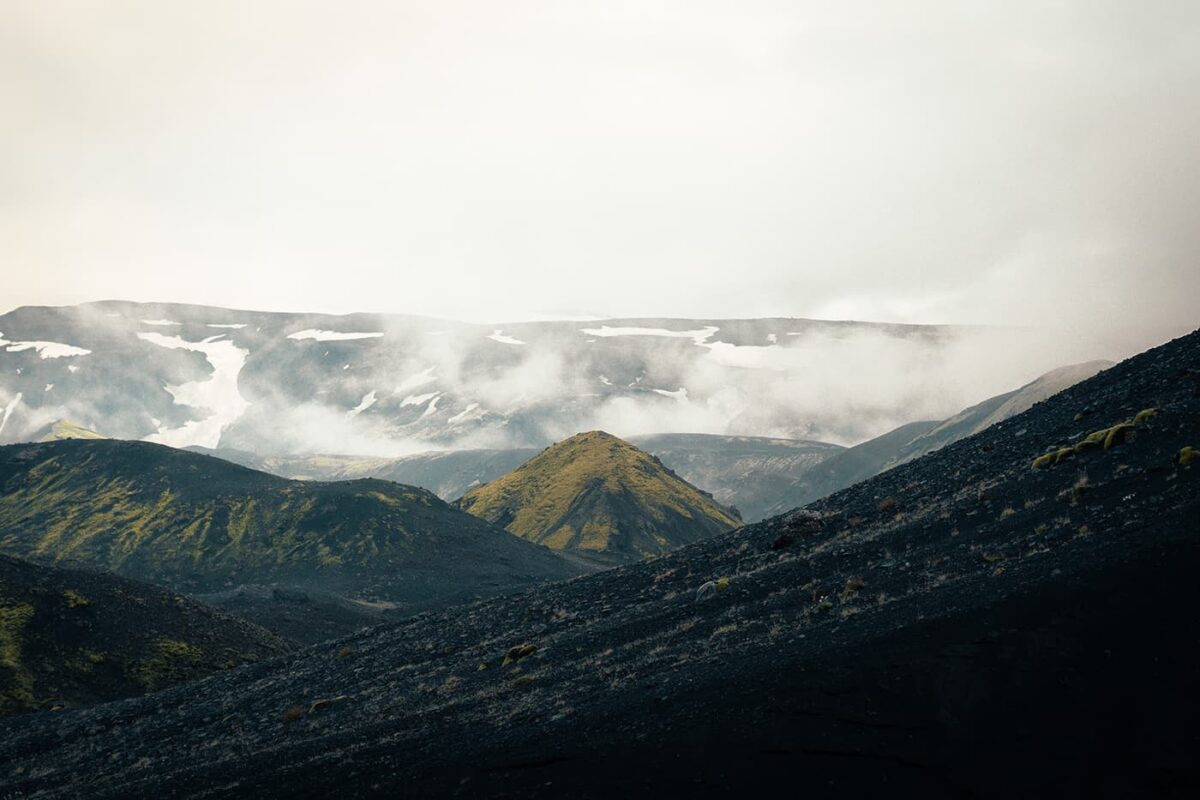
The Fimmvörðuháls, well known as an extension of the Laugavegur Trail, lies between two glaciers which connect Þórsmörk to Skógar. You can hike this trail in one or two days, depending on your preference. You will hike alongside the mighty glaciers Eyjafjallajökull and Mýrdalsjökull on this rugged mountain trail in Iceland.

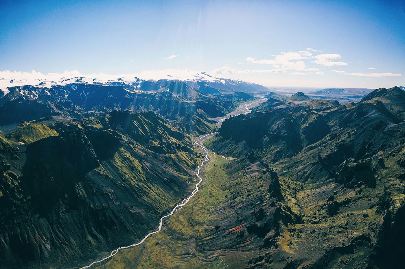
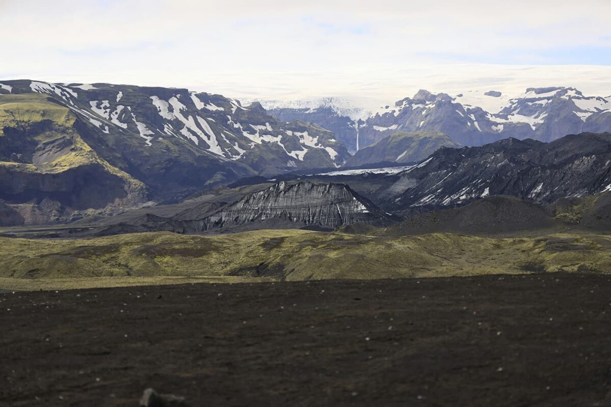
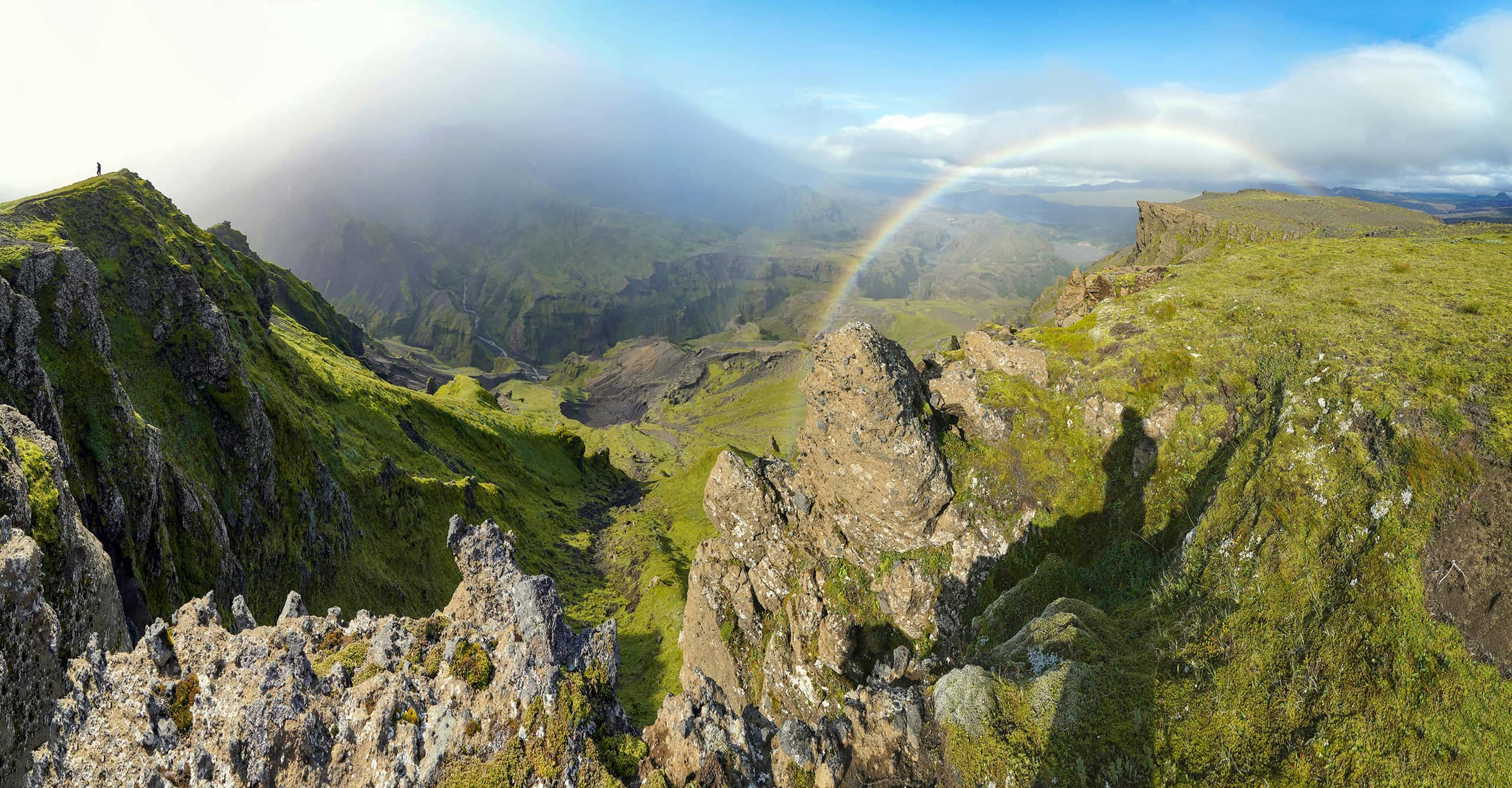
Iceland, often described as the “Land of Fire and Ice,” embodies true adventure in the untamed nature. Despite its location near the Arctic Circle, the influence of the Gulf Stream gifts Iceland a relatively gentle climate especially in the summer months. But be prepared on any circumstances, the weather can change shiftly, also in the summer with rain, hail and even snow.

Editor

Elmar Teegelbeckers

Passionate hiker Elmar spends months of his time on the trail. He’s usually on the lookout for hidden gems in one of his favourite countries such as Slovenia, Switzerland and Japan. He founded hiking-trails.com in need for a community and detailed information about the trails. Before this, he worked for the Alpine asscociation in the Netherlands[ (NKBV) but lost his heart to the trails.

With this website and socials, he hopes to shape an inclusive community for hikers all over world. No matter your speed, experience or level, you can get out there to enjoy the trails and connect with the heartwarming hiking community. Life is so much better outside and he hopes to inspire hikers to take their first, or next, step on the trail.

View profile

The Trail

Most hikers will hike from Skógar to Þórsmörk as this is a bit easier than the other way around. It’s wise to start with a steady pace, as the trek ahead is lengthy. The trail, clear and to the right of the Skógá River, presents some of the most beautiful waterfalls. At the eight-kilometer mark, crossing Skógá River’s bridge is a perfect moment to refill your water bottles. Be sure to always bring a water filter with you!

Continuing from the bridge, the path leads to Baldvinsskáli hut, just over four kilometers along the gravel road, offering basic amenities but no water. The alternative route leans west, taking you to Fimmvörðuskáli hut, slightly longer.

At Baldvinsskáli, prepare for a snowy traverse over Fimmvörðuháls, which will be marked for guidance. Late summer has a clearer path as more hikers pass through. The journey continues to the Goðahraun lava field and the newborn mountains Magni and Móði, where you can do a detour to their summits. The trail then goes alongside the ridge Heljarkambur, equipped with a support iron chain, and connects to the Morinsheiði, offering beautiful views of Mýrdalsjökull glacier and Katla volcano.

Descending from Morinsheiði, the trail offers options, but the main path is marked and straightforward, eventually bringing you to Kattarhryggir, a challenge for those with a fear of heights, yet now safer thanks to improvements on the trail. The descent becomes steep, with safety lines in place for support, leading to Strákagil’s verdant gateway to Goðaland. Here, Útivist’s hut is just a short walk away, with Ferðafélag Íslands’ hut accessible by crossing the Krossá River via a hiking bridge.

Accommodations

If you want to hike the Fimmvörðuháls trail in two days you can opt for one mountain hut alongside the route: Baldvinsskáli. There are only beds for 20 hikers, so make sure you book the hut in advance. You’ll need to bring a sleeping bag for this accommodation.

Best time of the year

If you’re hiking the Fimmvörðuháls Trail, you’re bound to the summer months. The best time to hike the trail is July and August, though it’s wise to prepare for unpredictable weather, including possible snow blizzards and strong winds even in these months. You should only hike this trail in the off-season if you’re seriously prepared for harsh winter conditions.

Safety & Gear

Hiking in Iceland offers some of the most stunning and varied landscapes on the planet, however, the rugged terrain and unpredictable weather conditions mean you need to prepare carefully and respect the safety guidelines.

Bring layers, including a reliable wind- and waterproof jacket, and consider pre-booking mountain huts for a comfortable night’s rest. The most important thing while hiking in Iceland is that you be aware of the harsh weather conditions which are also possible in the summer season. Snow blizzards or heavy rain with a cold wind are always a possible threat so bring your hardshell layers and know how to deal with such weather.

Good to know

Most people hike the Fimmvörðuháls after they hike the Laugavegur Trail. Weather can be harsh, also in the summer months. Make sure you’re prepared for such weather conditions and you can always consider a group tour with a tour guide as a possibility. If you have a fear of heights, this trail is not optimal because of some steep descents and ascents with steel cables.

Route
Point to point
Highest point
1086m (3563 ft)

Want to submit a trail or make this page more complete?

Comments

Be the first one to comment on this trail!

Reply to this trail

Your email address will not be published. Required fields are marked *

Reply to this trail

Log in to comment on this trail
Always read the disclaimer

Terms of Use: important to all visitors on this website. We strive to publish high quality content and information on this website. However it’s always possible that we’re missing out on some crucial information. In spite of the fact that this route, associated GPS track (GPX and maps) were prepared under diligent research by the specified contributor and/or contributors, the accuracy of such and judgement of the author is not guaranteed. Therefore, hiking-trails.com and contributors are in no way liable for personal injury, damage to personal property, or any other such situation that might happen to individuals hiking or following this route. Should you choose to hike this trail, this is always at your own risk. Check out our guidelines for safety hiking and Leave No Trace principles at the hiking 101 page.

Download GPX

Join the community!

Login or create a FREE account 😊

With an account you can:

Download GPX files

Pin trails to your wishlist

Mark trails as hiked by you

Rate hiking trails

Comment on trails, blogs and gear reviews

Happy trails!
Login

Don't have an account yet? Register here