About the Everest Base Camp

Himalaya
country
Nepal
length
130 km(81 mi)
Type of trail
Long-distance
difficulty

Difficulty is highly personal. Be aware of the weather conditions as bad weather turns easier trails in difficult trails especially in the mountains.

Moderate
accommodation

Lodging means a mix of hotels, hostels or AirBnB’s.

Lodging
Elevation gain
5000 m(16404 ft)
terrain
Mountains, Forest, Hills
remoteness
Some of the time
Show more

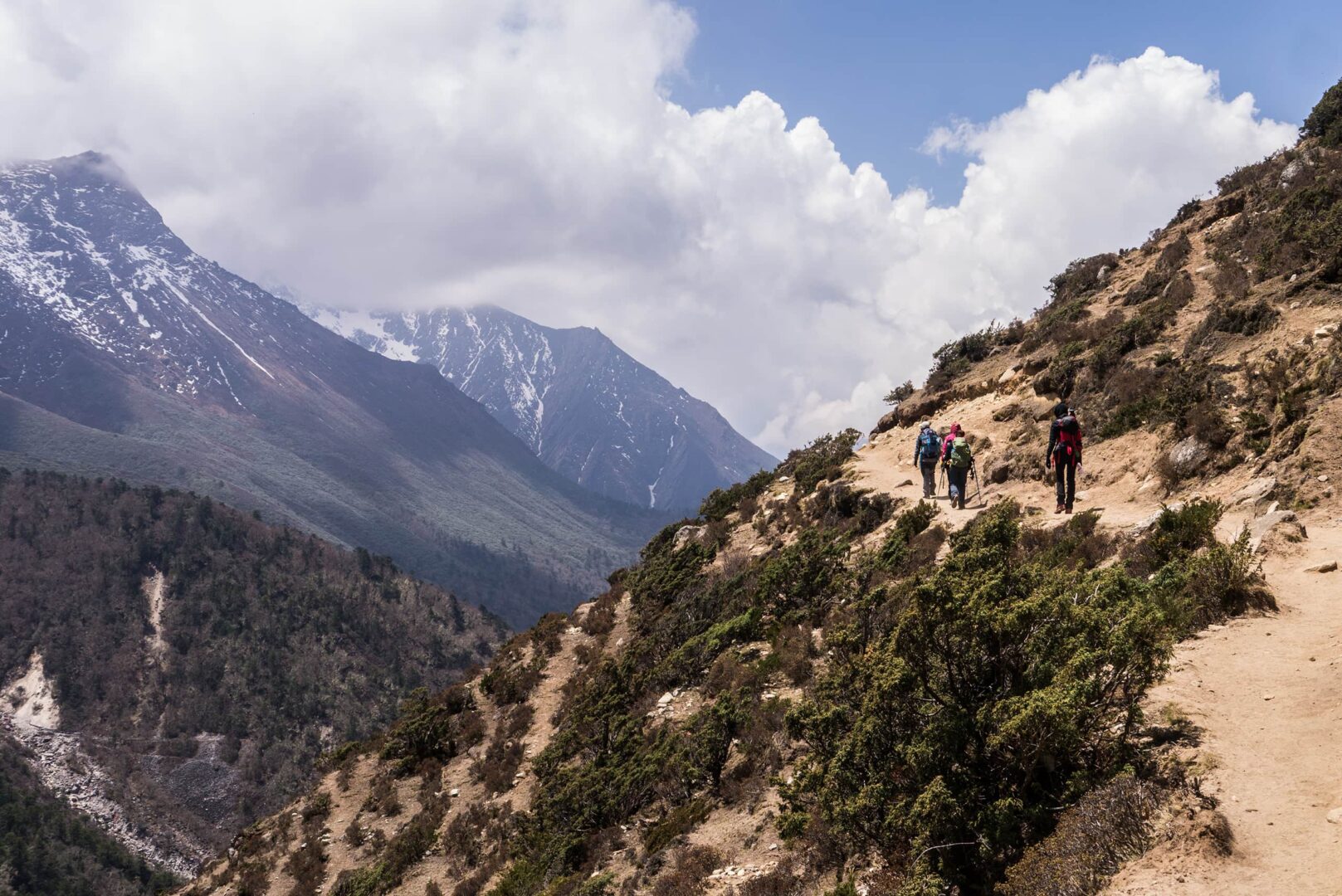
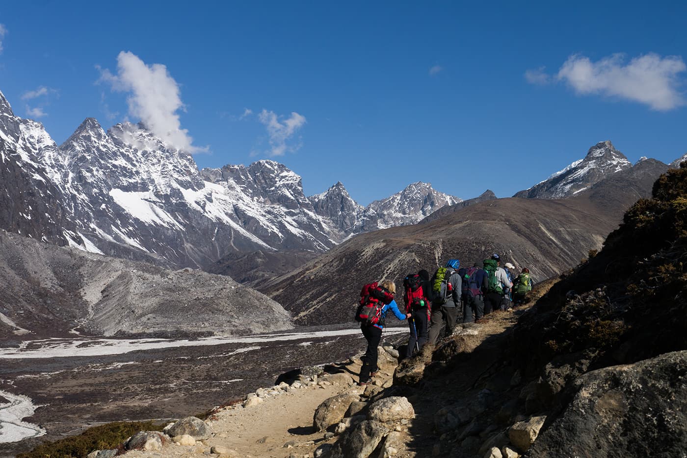
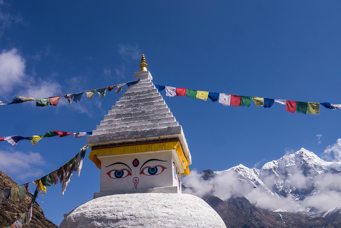
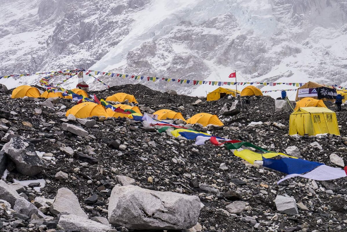
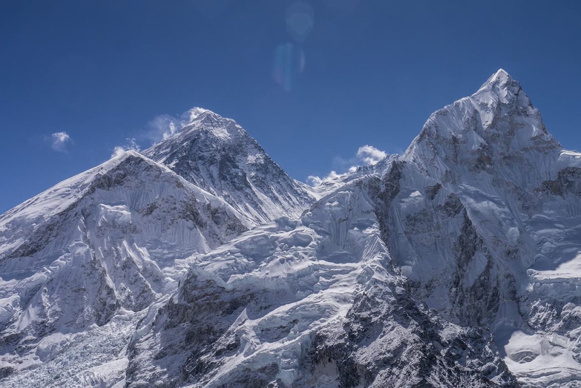
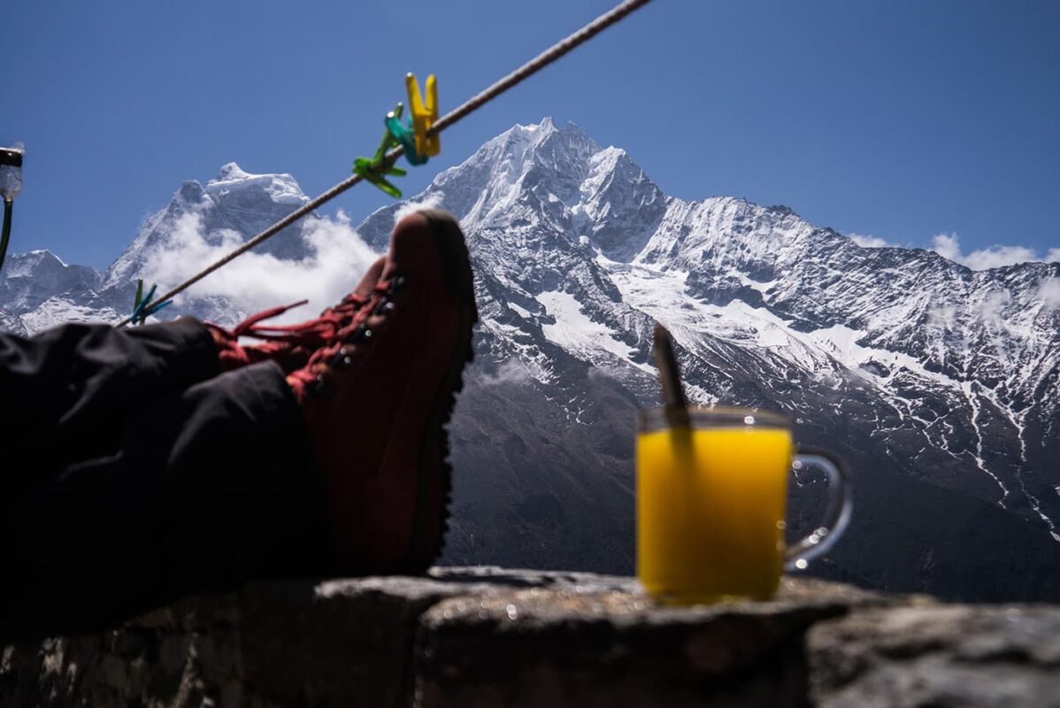
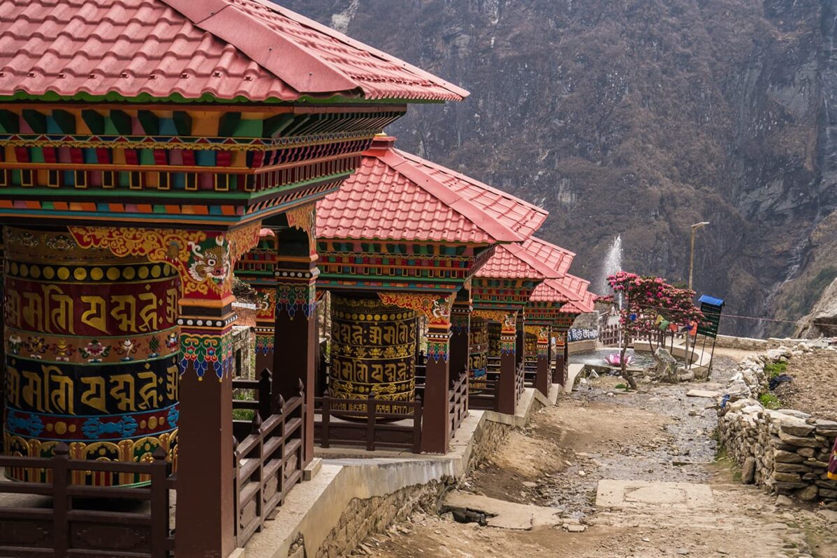
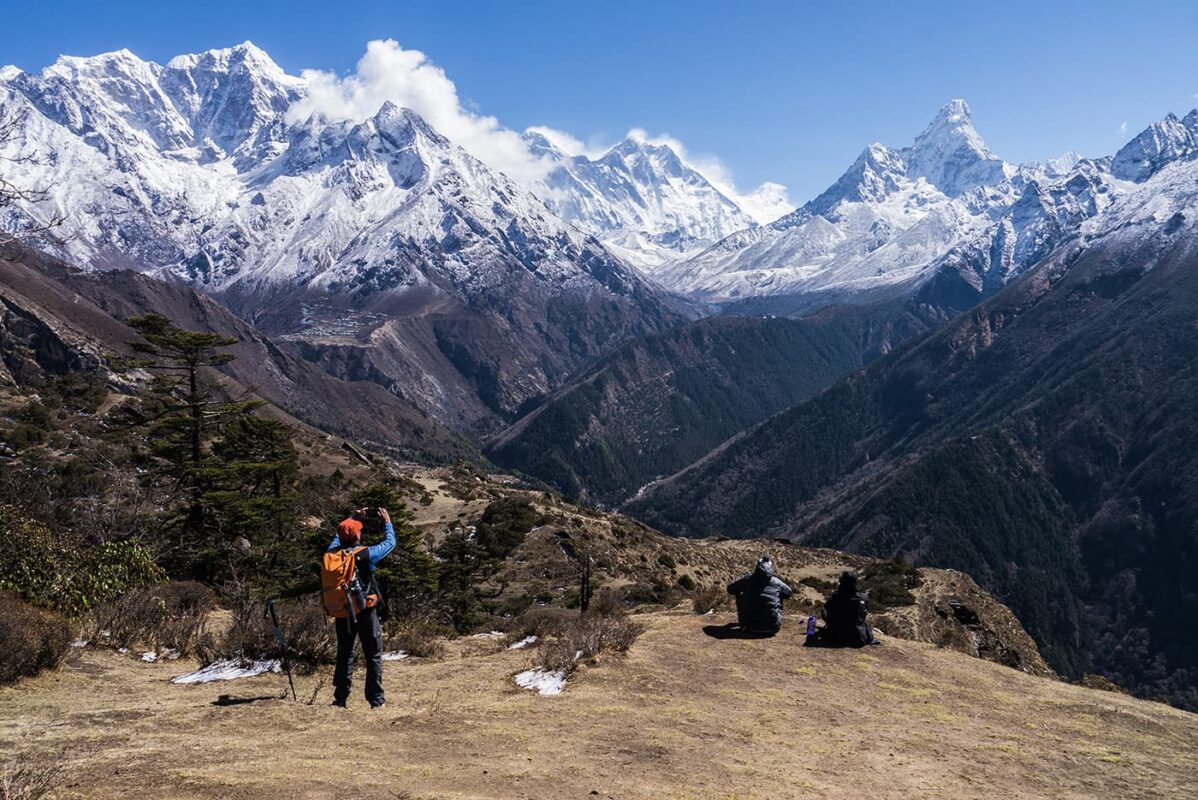
Trekking to Everest Base Camp is the dream of every long-distance trail enthusiast. The fame of this route is well deserved: an enchanting valley among immense ice-covered peaks, colorful temples, and big smiles from the local people. However, also be prepared for a crowded trail, unbelievably high prices for being in Nepal, and helicopters flying over the valley all day to bring the wealthiest tourists to see Everest effortlessly.

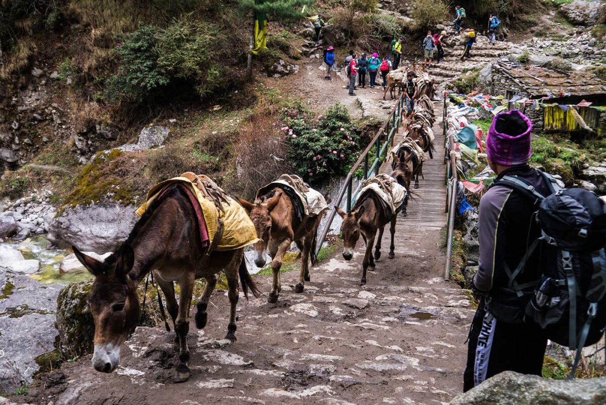
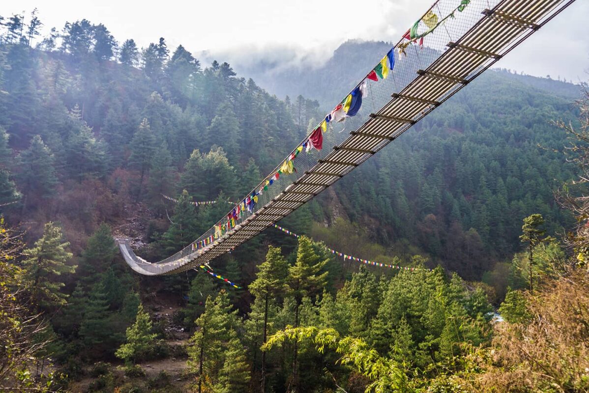
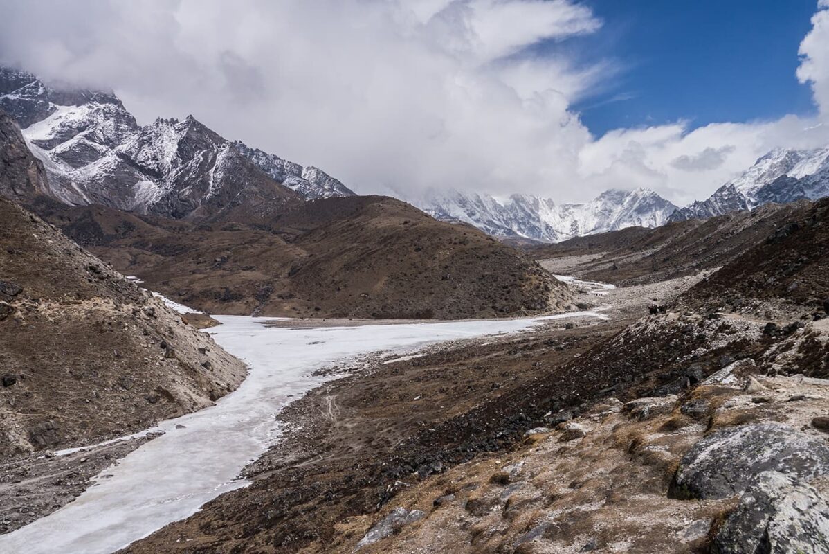
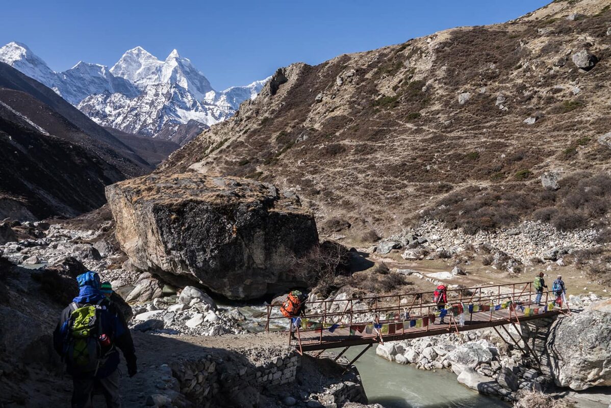
The Everest Base Camp trail itself is easy, a comfortable wide path, often paved, connects the small villages along the valley. There is no difficulty, outside of the elevated altitude. At 5,000 meters, the oxygen is half that at sea level, which is why the ascent must be approached slowly.

Elisa, profile picture
Author

Elisa

Born in the city, I was always annoyed by the streets crowded with cars, the buildings that hid the sky, and the rush of people. I soon realized that my place was no longer in Padova but in the white rocks of the Dolomites. So I used to spend the week at the University of Forest Sciences, and the weekend exploring the trails of the Wight Mountains because I wanted to get to know them in all their nuances.

It was my parents who took me to the mountains from an early age. They took me to Val di Zoldo, in the winter with skis on my feet and in the summer to walk, but… I hated it! I was annoyed, all I did was ask, “How much longer?” But then I grew up, and I discovered that walking is essential for me. Scouting then taught me about the outdoors and the satisfaction of long treks in tents. The Italian Alpine Club made me discover mountaineering and the world outside Val di Zoldo. But walking was never enough for me, I was hungry for trails, views, and adventures. So I accumulated experience and kilometers, and in 2021 I realized a dream I had cradled for years: in 3 months I crossed the Alps on foot, from Finale Ligure to Trieste, alone and sleeping in a tent!

On this trip, I searched for my way in these mountains, until I realized that there is nothing that gives me greater joy than bringing people up here and watching their astonished expressions in front of so much beauty. So at the end of the trip, I took the course to become an Environmental Hiking Guide, and now I bring people up here, where falling in love is easy.

View profile

The Trail

It will take eight days to climb, and only four to descend. Don’t be fooled by the short stages, and don’t get caught up in the rush. If you want to get to the top, you must give your body time to get used to the altitude by climbing slowly. Each day you will sleep 200 or 300 metres higher than the one before. Sometimes the route takes the hiker up and then down. One whole day (the sixth) is dedicated to acclimatization: you will climb a peak that touches 5,000 meters, then return to sleep at the bottom.

During this slow ascent, you will have time to enjoy your surroundings. Starting from Lukla, the landscape is agricultural, you will find cultivated fields and orchards, many farms, and luxury lodges to welcome tourists from all over the world. As you climb up the valley, the villages will become smaller, the lodges more bare. Namche Bazar is the lively capital of the Sherpa people, a cheerful and colorful village, where you can taste the famous momos and buy any kind of hiking or mountaineering equipment. On the way up you can visit some beautiful temples, just don’t forget to respect the local rituals and leave some offerings.

Lukla can only be reached by plane or helicopter. Its tiny airport is considered the most dangerous in the world! The flight from Kathmandu only leaves in good weather, so it is customary to have 2 or 3 days’ buffer before and after the trek, to avoid any unpleasantness by missing an international flight.

From Lukla onwards, there is no motorized transport (apart from helicopters). The trail is also the main road, and all day long hundreds of donkeys, horses, and yaks with their loads travel along it. Not only do the animals carry objects, but you will see people with huge, heavy luggage, the weight resting all on their foreheads. They easily pass the harried foreign tourists, always smiling and in flip-flops, with loudspeakers blasting Indian music.
If on the trail you will only find men (guides, porters, shepherds), the tourist reception is all in the hands of the women. They run the simple huts along the trail with passion.

Currently (February 2024) the Everest Valley is the only place in the whole of Nepal where trekking without a guide is allowed. This may change soon, so check before you go if only hiking is allowed. However, having a guide gives you many advantages: he knows the route, and he will be able to guide you along alternative and less crowded paths. It will secure your sleeping place for the evening (no, booking is not enough, first come first served!). It will save you long queues at the points where you have to pay the park entrance fee (because the guides have priority, and the others wait). A guide knows how best to divide the stages to help you acclimatize. You can find a guide in Kathmandu, or you can rely on an agency that will manage everything: guide, accommodation, meals.


Permits for the Everest Base Camp Trek

  • A Nepalese visa (15 days $30) can be obtained on arrival at the airport. Bring 2 passport photos.
  • Permit for Sagarmatha National Conservation Area (36$ approx). Also in Kathmandu or at the park entrance.
  • Pasang Lhamu Rural Village Development Permit (2000IDR, 24$ approx). At Lukla.

Stages

Most hikers choose the 12 day itinerary for the Everest Base Camp trek. Remember always to acclimatize and take it slow on this high altitudes.

12 day itinerary Everest Base Camp Trek

Stage 1:

Lukla – Phakding, 8 km | 5 mi

Stage 2:

Phakding – Namche Bazar, 12 km | 7.5 mi

Stage 3:

Namche Bazar – Khumjung, 5 km | 3 mi

Stage 4:

Khumjung – Pangboche, 11.5 km | 7 mi

Stage 5:

Pangboche – Dingboche – Chukhung, 6.5 km | 10 mi

Stage 6:

Dingboche – Nangkartshang – Dingboche, 5 km | 3 mi (acclimatization)

Stage 7:

Dingboche – Lobuche, 9 km | 11.8 mi

Stage 8:

Lobuche – Everest base camp – Gorakshep, 12 km | 7.5 mi

Stage 9:

Gorakshep – Kala Pattar – Pheriche, 17 km | 10.5 mi

Stage 10:

Pheriche – Phortse, 13 km | 8 mi

Stage 11:

Phortse – Monjo, 18 km | 11 mi

Stage 12:

Monjo – Lukla, 14 km | 8.6 mi

Accommodations

Each village has hotels and lodges. The higher you go, the smaller they are, as well as fewer in number. In the first villages, there are luxury hotels, with a swimming pool and spa, and at the end, there are only small lodges, with shared rooms and outside latrines. In addition, the lodges at the end are few and therefore very crowded. Make sure you have a place, and try to arrive early to occupy it.

The kitchen is very spartan and quaint: a large hearth in the middle of a room, on which everything is cooked. The rooms are not heated. Only the dining room is heated by a large stove in the center, fuelled by yak dung. The hygiene standards are not quite the same as we are used to. You can only take a shower as far as Namche Bazar. Prices also increase with altitude.

During the day you can often stop for a hot tea, don’t forget to try the famous ginger-lemon honey tea!

Best time of the year

The best time of the year to hike the Everest Base Camp trek is from March to May, although it is known for less stable weather and more chance of thunderstorms in the afternoons. And the second season from October to December when there is more stable weather, but it can be a bit more crowded on the trails. In the other months, it’s not recommended to hike the Everest Base Camp Trek.

There are two alternating seasons in Nepal: the dry season and the monsoon season. The monsoon or wet season runs from June to September when the warmth attracts the moist air from the Indian Ocean and the dry season from October to June as it is a bit colder and therefore also drier.

Safety & Gear

If you want to be successful on this trip, prioritize acclimatization. Prepare yourself before departure with a good workout to get to the fitness level of climbing at elevations over 3,000 meters. Obtain the necessary fragments to help you cope with high altitude (e.g. diuretics), study the symptoms of altitude sickness, how to recognize it, and how to deal with it.

Since you will spend the nights in the lodges, you will not need much equipment: a few changes of clothes, a raincoat, and a jacket. Remember that it will be very hot during the first stages (25-30 degrees), while at the end it may be very cold (even below zero). A good sleeping bag is always valuable, as the rooms are not heated.

Invest in a good pair of shoes and don’t forget trekking poles. Depending on the season and conditions, you may need crampons on the last stage.

If you go with an agency you will also have a carrier. You might think it is over-exploitation and hard work, but consider that for them it is not. On the contrary, those who bring their equipment and have neither guide nor porters are often treated a bit badly, because they do not give work back to the community. Having a porter will also greatly increase the chances of success of your trip.

Good to know

For water, please know that torrent water is not good for drinking. If you want to use it, consider that a mechanical filter is not enough (it does not eliminate viruses!). You have to boil it for at least 20 minutes. In every lodge where you can find water, you have 2 possibilities. You can buy mineral water, which costs more the higher you go. In the last stages, it even costs 15 euros per liter! This is because it is always carried by someone. I advise you to buy boiled water: cheaper and more ecological. You can have your flasks (aluminum ones!!) filled in the evening with hot water, and use them as warmers in your sleeping bag. In the morning it will be cold and ready to drink.

Additionally, there is phone signal if you buy a Nepalese SIM card (or eSIM). In each lodge, you can buy wifi access. Charging devices is also a paid service.

All in all, the basecamp is not much: a city of tents set up on the ice, where mountaineers preparing to climb the summit struggle to find some peace from the hikers who only come so far. The real destination of the trip is the summit of Kala Pattar, a spectacular viewpoint over Everest and the valley. The last 500 meters of altitude difference between Gorakshep, 5100m, and the summit at almost 5600m are extremely tiring. But the satisfaction will be enormous! As the weather is best in the morning, I recommend going to basecamp in the afternoon and reserving the summit for the next morning, perhaps leaving early to enjoy the sunrise from the summit.

Route
Point to point
Highest point
Kala Pattar summit, 5560m (18241 ft)

Guidebooks

cover guidebook

Trekking guide Everest

View guidebook

Want to submit a trail or make this page more complete?

Comments

Be the first one to comment on this trail!

Reply to this trail

Your email address will not be published. Required fields are marked *

Reply to this trail

Log in to comment on this trail
Always read the disclaimer

Terms of Use: important to all visitors on this website. We strive to publish high quality content and information on this website. However it’s always possible that we’re missing out on some crucial information. In spite of the fact that this route, associated GPS track (GPX and maps) were prepared under diligent research by the specified contributor and/or contributors, the accuracy of such and judgement of the author is not guaranteed. Therefore, hiking-trails.com and contributors are in no way liable for personal injury, damage to personal property, or any other such situation that might happen to individuals hiking or following this route. Should you choose to hike this trail, this is always at your own risk. Check out our guidelines for safety hiking and Leave No Trace principles at the hiking 101 page.

Download GPX

Join the community!

Login or create a FREE account 😊

With an account you can:

Download GPX files

Pin trails to your wishlist

Mark trails as hiked by you

Rate hiking trails

Comment on trails, blogs and gear reviews

Happy trails!
Login

Don't have an account yet? Register here