About the Entre Lesse et Lomme

country
Belgium
length
78 km(48 mi)
Type of trail
Long-distance
difficulty

Difficulty is highly personal. Be aware of the weather conditions as bad weather turns easier trails in difficult trails especially in the mountains.

Easy
accommodation

Lodging means a mix of hotels, hostels or AirBnB’s.

Camping
Elevation gain
1210 m(3970 ft)
terrain
Forest
remoteness
Most of the time
Show more

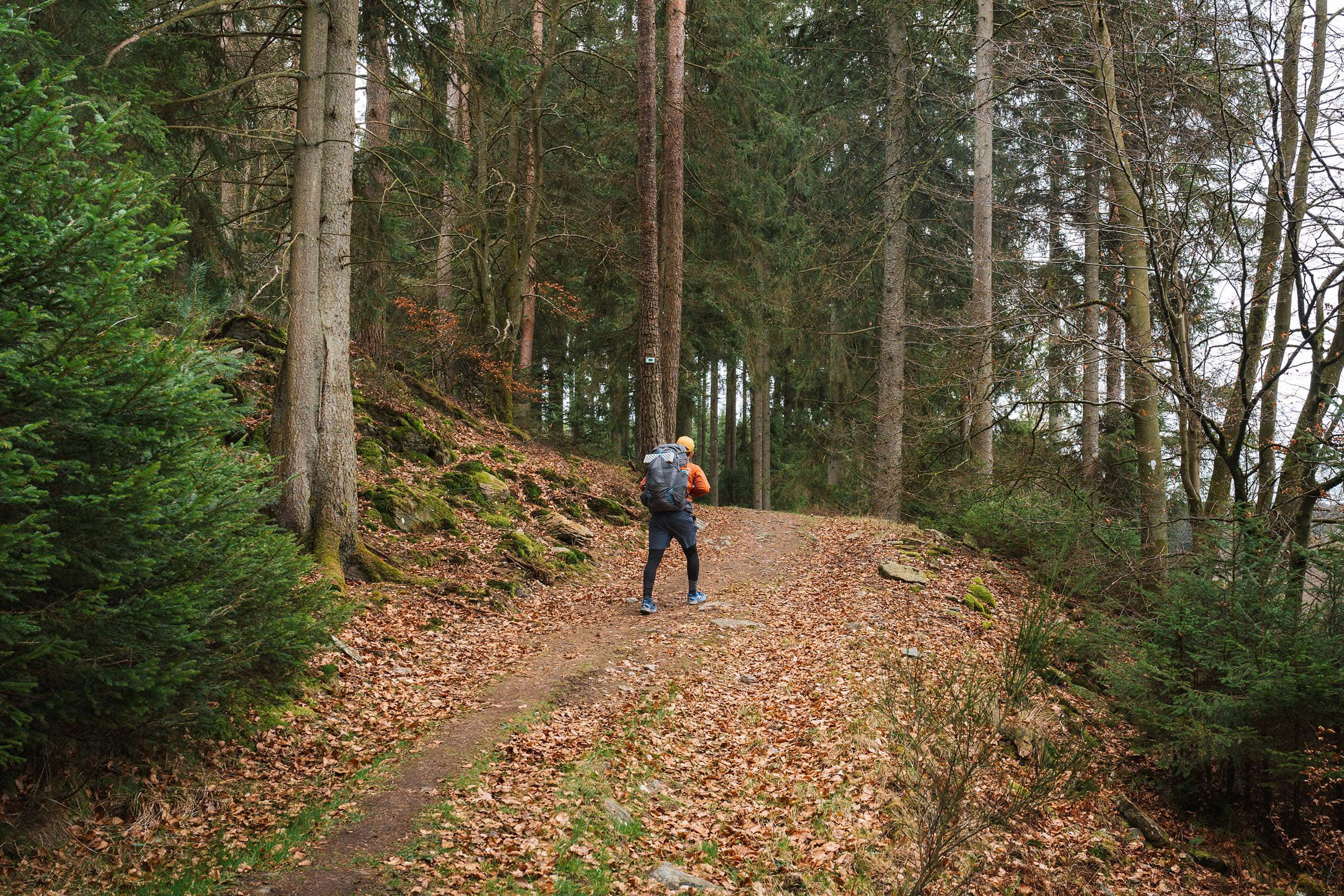
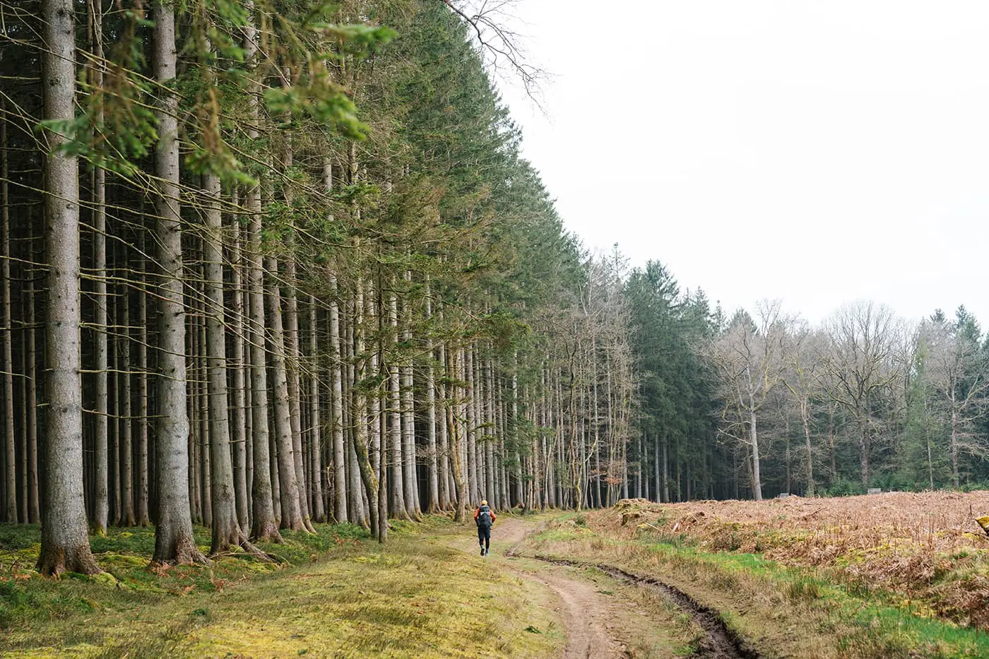
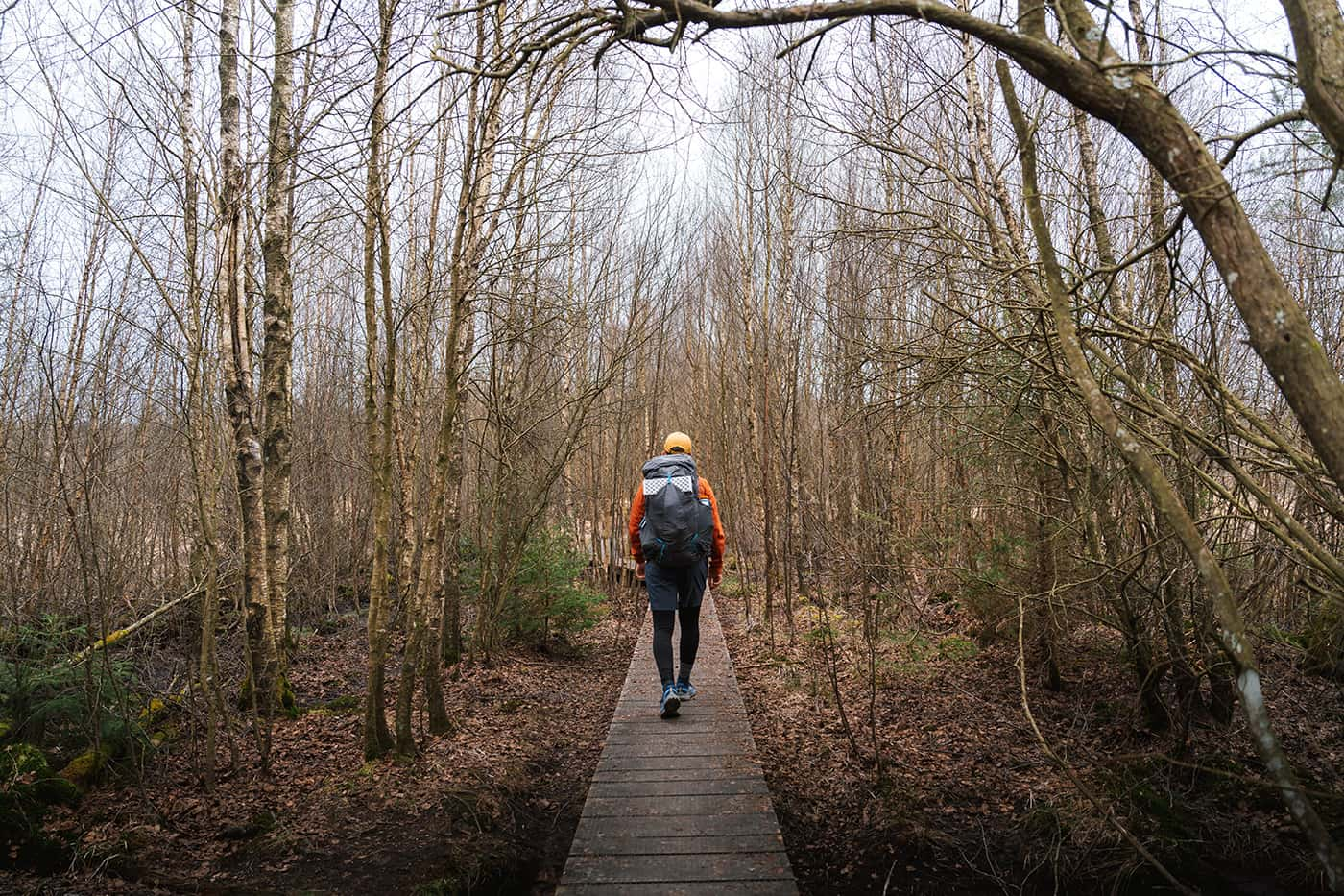
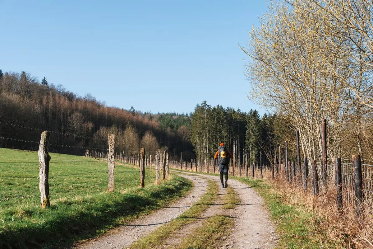
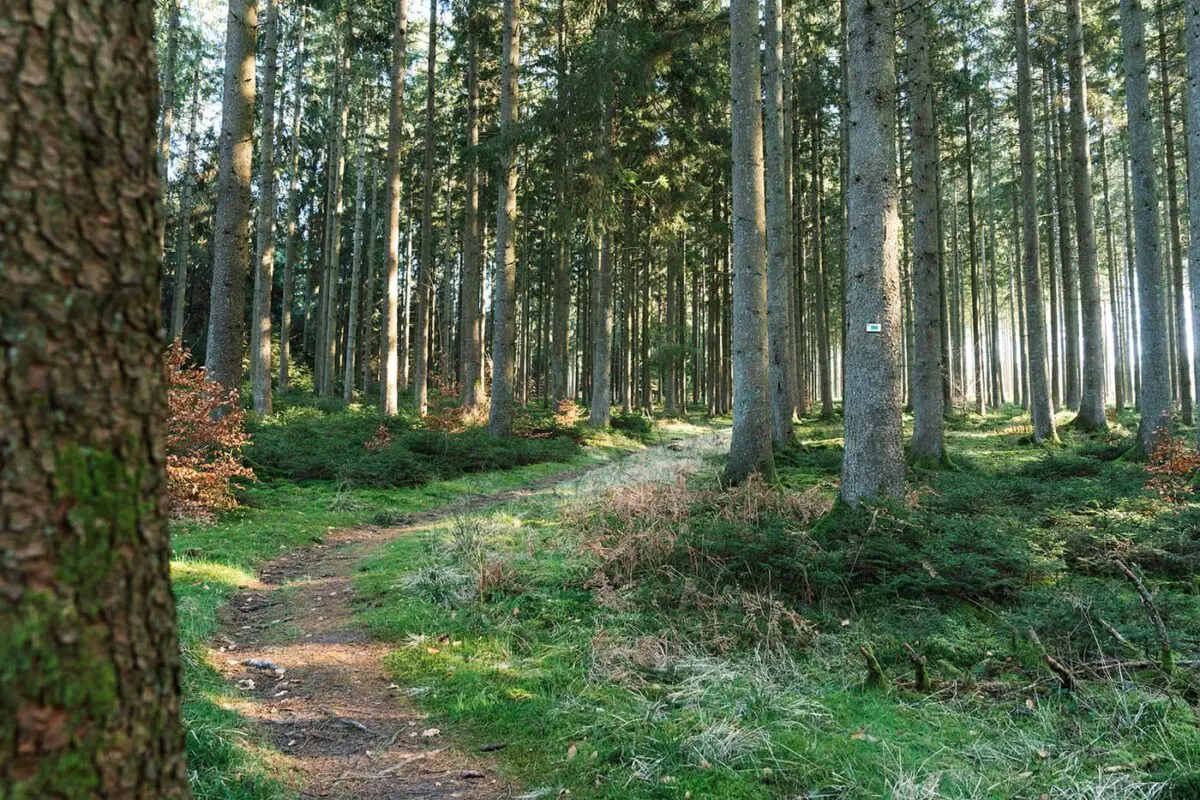
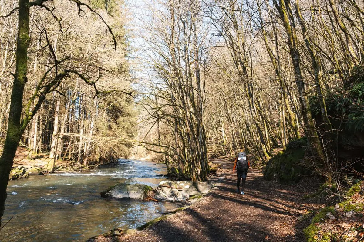
Looking for a multi-day trek through the forests with all your food and water in your backpack, encountering hardly anyone, and pitching your tent at designated bivouac sites? Look no further. This long-distance trail in the woods, Entre Lesse Lomme in the Belgian Ardennes, has it all.

In the municipality of Libin, hikers can follow on the “green” route known as Entre Lesse et Lomme, translating to “Between Lesse and Lomme,” referring to the two rivers that frame the trail. This 78-kilometer trail goes through woodlands, allowing for an approximate 25-kilometer trek each day before setting up camp.

Editor

Elmar Teegelbeckers

Passionate hiker Elmar spends months of his time on the trail. He’s usually on the lookout for hidden gems in one of his favourite countries such as Slovenia, Switzerland and Japan. He founded hiking-trails.com in need for a community and detailed information about the trails. Before this, he worked for the Alpine asscociation in the Netherlands[ (NKBV) but lost his heart to the trails.

With this website and socials, he hopes to shape an inclusive community for hikers all over world. No matter your speed, experience or level, you can get out there to enjoy the trails and connect with the heartwarming hiking community. Life is so much better outside and he hopes to inspire hikers to take their first, or next, step on the trail.

View profile

The Trail

This trail, ideal for both amateur and seasoned hikers, can challenge and reward with its terrain. Starting from the small village, Lesse, the path goes through calm landscapes, without urban noise, which gives a welcomed connection to nature. Despite the remote setting, the path is well-marked and there are strategically placed bivouac sites. The absence of nearby accommodations or eateries means you must carry provisions. This does include water, although the availability of natural water sources along the route, with the use of portable filters, removes the need to carry too much weight.

Hiking and trekking in the Belgian Ardennes offers a perfect view of one of Europe’s most diverse forestry landscapes. This region, characterized by its dense forests, green hills, and meandering rivers, presents a perfect area to discover Belgium’s hiking trails.

Stages

Stage 1:

la Virée à Chêne – Biolin, 27 km | 16.7 mi

Stage 2:

Biolin – Bané, 24 km | 15 mi

Stage 3:

Bané – la Virée à Chêne, 25 km | 15.5 mi

Accommodations

This is a bivouac trek which means that you’re allowed to camp on the designated bivouac spots. You can find three spots roughly 25 kilometers apart from each other. You can start the trail from any of the bivouac spots.

Stage 1:

Bivouac Biolin

Stage 2:

Bivouac Bané

Stage 3:

Bivouac Virée à Chêne

Best time of the year

The best time of the year to hike Entre Lesse et Lomme is from April to early October. Here you’ll have more daylight and better conditions to hike the trail. In winter it can be cold, snowy, rainy, and muddy. Keep in mind that in autumn it can be hunting season, not a great time to hike the trail. Check out the official trail website to find more information about the hunting season.

Safety & Gear

Preparation is key when you’re hiking Entre Lesse et Lomme. On this bivouac tour, you’ll need to bring all your camping gear and food while sleeping at the bivouac spots. There are no shops or accommodation on the way.

Besides that, carry your essential gear, including footwear, navigational tools, and sufficient water and food supplies. Dress in layers and be prepared for some rain. Given the remote stretches of some trails, it’s also important to have a basic first-aid kit and a way to purify water with either tablets or water filters for natural water sources encountered along the way.

Good to know

On this long-distance trail, you won’t come across any stores, restaurants, or accommodations. You’ll be completely self-sufficient, which means you’ll need to bring all your sleeping gear, such as a tent, mat, and sleeping bag, as well as your food and drink.

You can refill water from one of the streams, so always bring your water filter. You can’t drink the water directly from the river. It’s mandatory to reserve the bivouac sites in advance. You can do this on the website rando-lesse-lomme.be. From October through December, it’s hunting season, and the organization advises against hiking the trail during this period.

Route
Circuit
Highest point
498m (1634 ft)

Want to submit a trail or make this page more complete?

Comments

Be the first one to comment on this trail!

Reply to this trail

Your email address will not be published. Required fields are marked *

Reply to this trail

Log in to comment on this trail
Always read the disclaimer

Terms of Use: important to all visitors on this website. We strive to publish high quality content and information on this website. However it’s always possible that we’re missing out on some crucial information. In spite of the fact that this route, associated GPS track (GPX and maps) were prepared under diligent research by the specified contributor and/or contributors, the accuracy of such and judgement of the author is not guaranteed. Therefore, hiking-trails.com and contributors are in no way liable for personal injury, damage to personal property, or any other such situation that might happen to individuals hiking or following this route. Should you choose to hike this trail, this is always at your own risk. Check out our guidelines for safety hiking and Leave No Trace principles at the hiking 101 page.

Download GPX

Join the community!

Login or create a FREE account 😊

With an account you can:

Download GPX files

Pin trails to your wishlist

Mark trails as hiked by you

Rate hiking trails

Comment on trails, blogs and gear reviews

Happy trails!
Login

Don't have an account yet? Register here