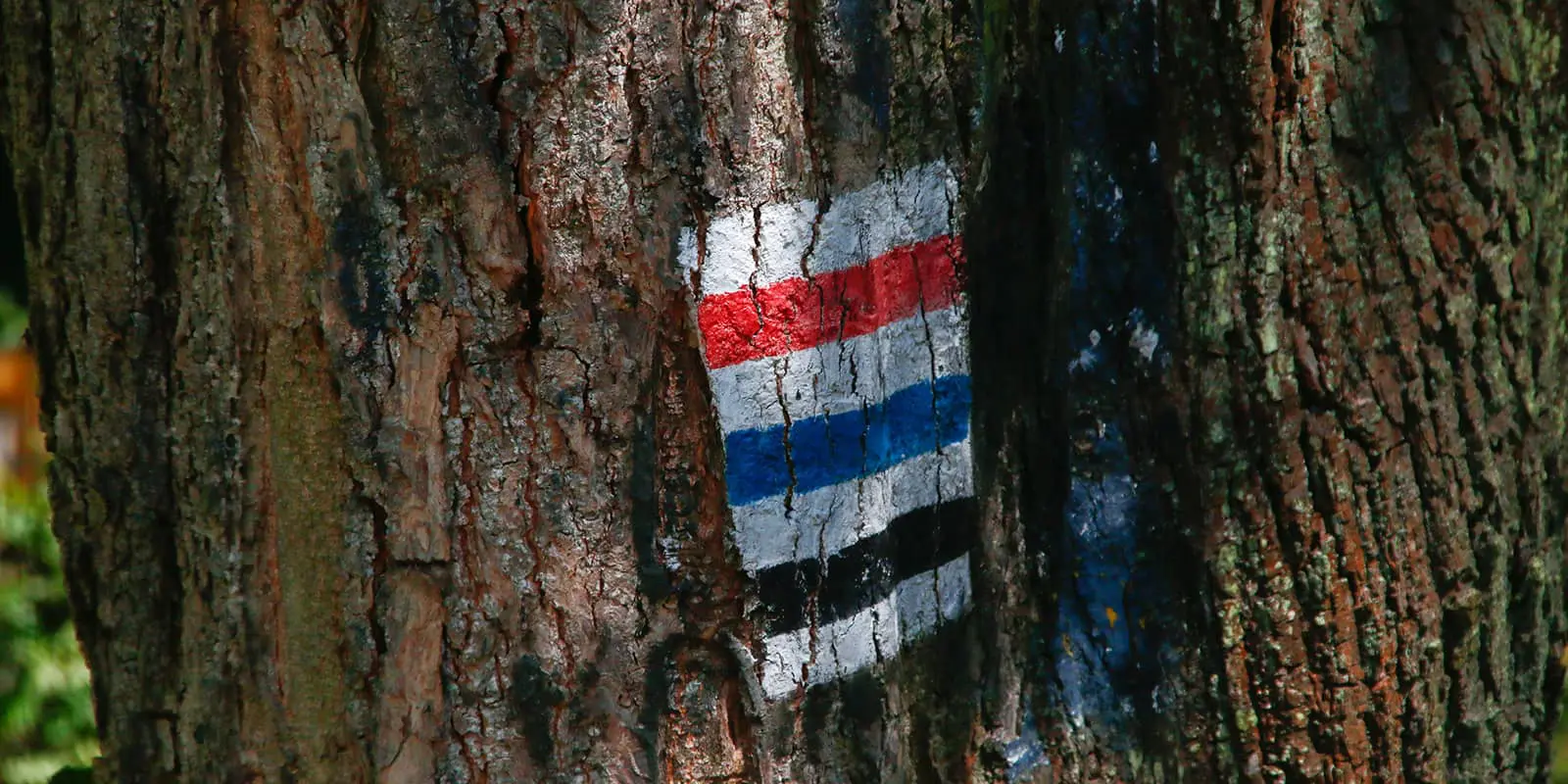
Jurassic landscape in Poland

Eagle’s Nests Trail

Szlak Orlich Gniazd

About the Eagle’s Nests Trail

country
Poland
length
164 km(102 mi)
Type of trail
Long-distance
difficulty

Difficulty is highly personal. Be aware of the weather conditions as bad weather turns easier trails in difficult trails especially in the mountains.

Moderate
accommodation

Lodging means a mix of hotels, hostels or AirBnB’s.

Lodging, Camping, Wild camping
Elevation gain
2567 m(8422 ft)
terrain
Forest, Countryside, Flat, Hills
remoteness
Some of the time
Show more

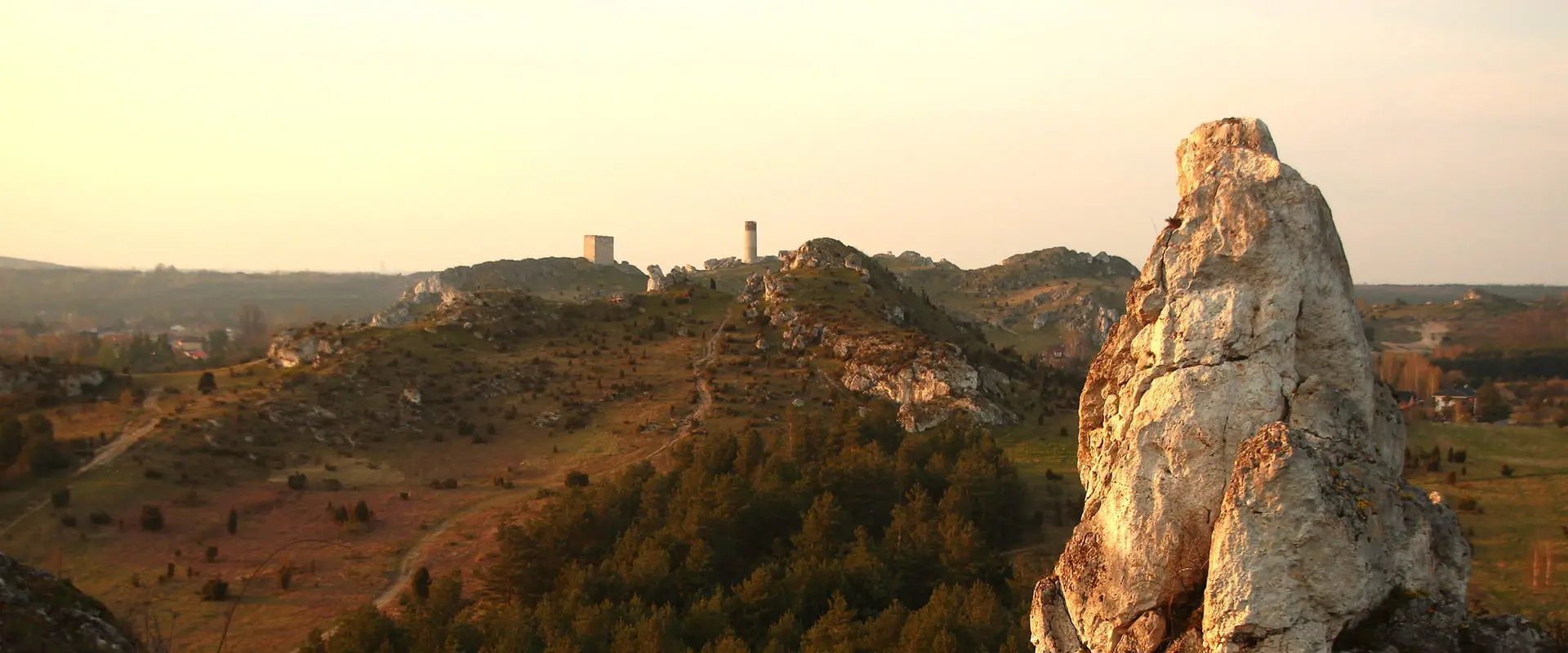
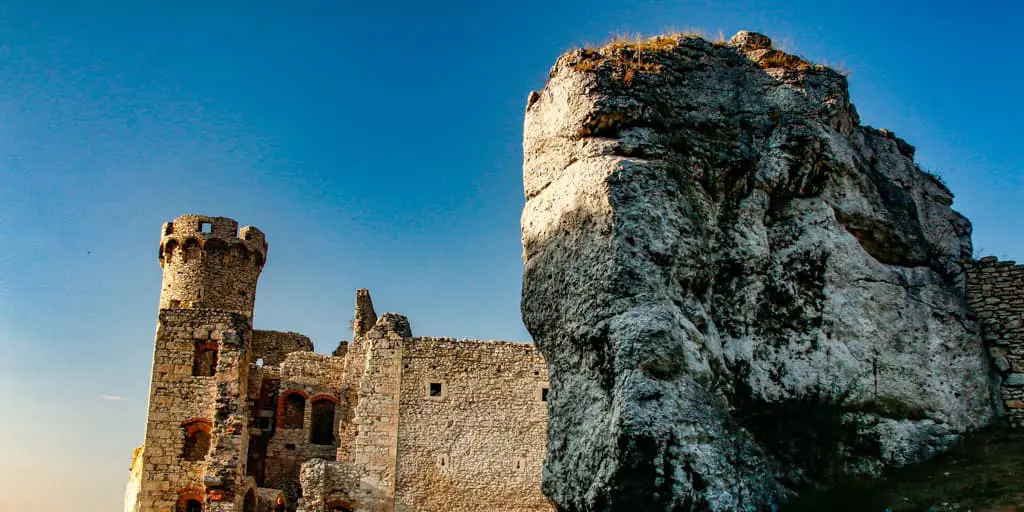
The Eagle’s Nests Trail or Trail of the Eagles Nests leads hikers through the Kraków-Częstochowa Upland. In the “Jura,” a local name for this region, there are about 700 kilometers of hiking trails, about 5000 boulders, 1700 caves, a desert, and more than 20 strongholds, fortresses, or castles. There are 12 castles (ruins, strongholds) located on the Eagle’s Nests Trail. This region is a unique experience combining history with beautiful Jurassic landscapes.

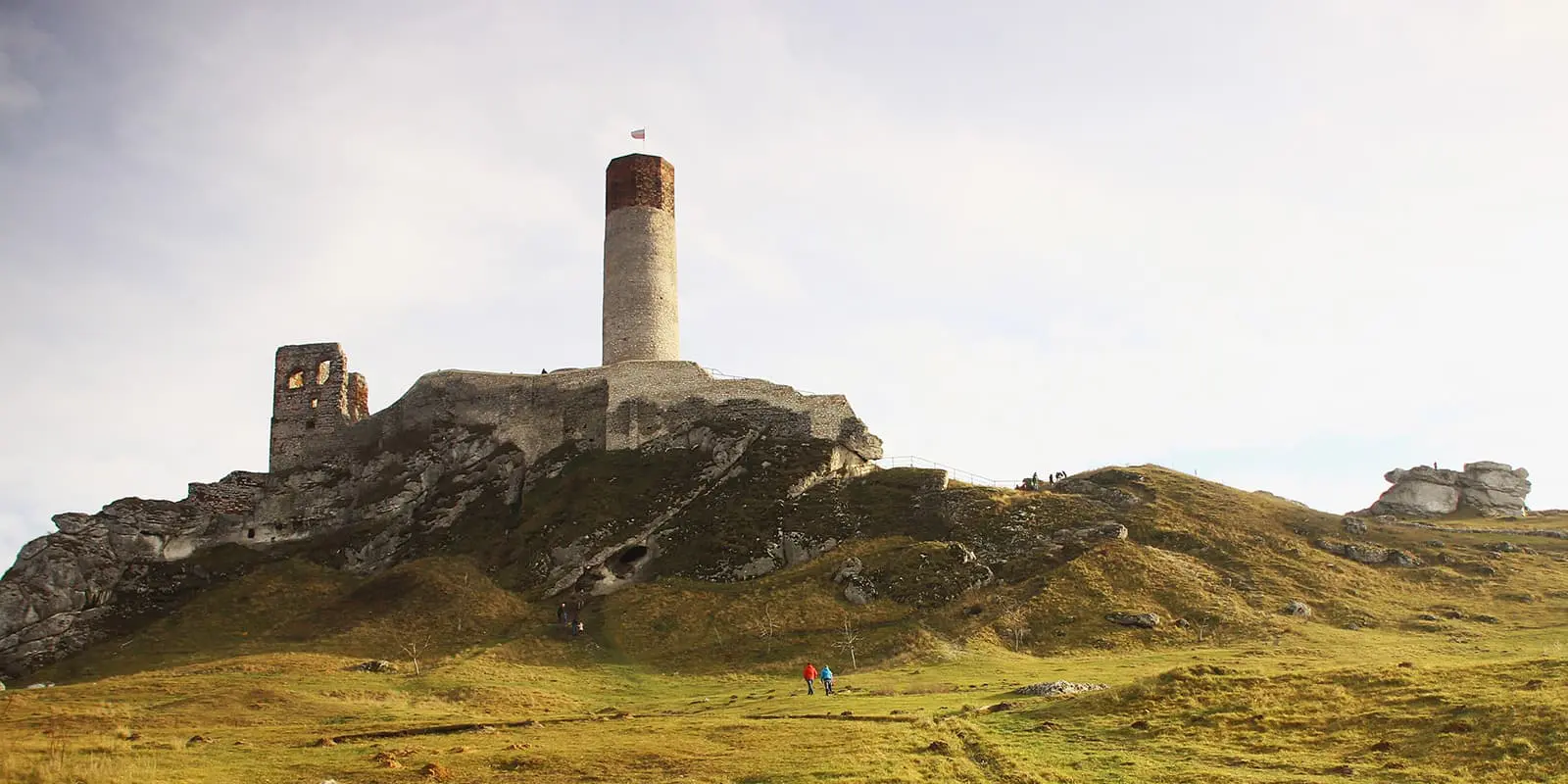
The Eagle’s Nests got their name from their location on the highest rocks, which were good observation points. It is a network of castles, fortifications, and fortresses that were built mainly in the 14th century to defend the border with the Kingdom of Bohemia (now the Czech Republic).

jakub & Monica profile picture
Author

Monika & Jakub

Monika & Jakub are a couple from Poland (Kraków) who love hiking! They are also interested in bikepacking, wild camping, and outdoor photography. They specialize in the Dinaric Alps (Balkan countries) and Polish trails. You can follow Jakub & Monika on Instagram @_bry_dzia_ & @de_moniqua

View profile

The Trail

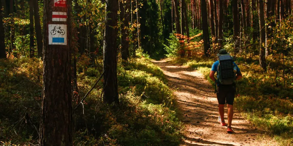
The trail itself is not technically difficult and is a good way to test yourself on long-distance trails. Although it cannot be said that it is easy – there are no available water sources (except in villages and towns), and a large part of the trail is on asphalt, which is, to put it mildly, not something you would want on trails. The route leads from Krakow to Czestochowa or vice versa. Both options are equally easy to organize. If you are not from Poland, you can choose from 2 airports – Katowice or Krakow. There are many transport connections between these cities.

If you are arriving here for the first time, it will be interesting for you to have an opportunity to do a bit of sightseeing around the castles, caves, and fortresses. If this is something you’d like to prioritize, then it is recommended to reserve at least 7 days to finish the trail.

At the beginning of the trail, as you are leaving the outskirts of Kraków, there is some construction of the city bypass (as of 2024) so a little reroute is needed. The first stage goes from the city of Kraków to the village of Sułoszowa (striped village). This part of the trail can be difficult for endurance, as it is mainly on asphalt, which, together with the distance of 36 kilometers, can be rough on the feet. But also it is very beautiful and unique as it leads through the only national park on the entire trail – Ojców National Park. There are few shops on the way so it is not necessary to stock up, but there are no water sources, so you can only buy water in stores or restaurants. On this day you will see the first 2 castles, which require an entry fee. This part is also the most “touristy” on the entire trail and runs through the most popular places in Jura.

On stage two, you will reach the third castle on the route – Rabsztyn, which was renovated a few years ago. The route on this day leads mainly through forests, countryside, and on dirt paths. There are a few stores on the way in Rabsztyn and in Bydlin.

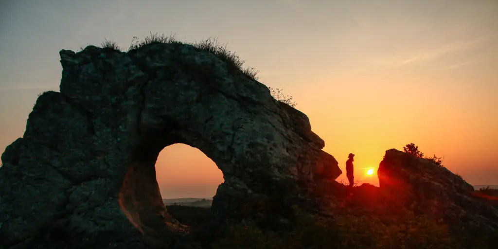
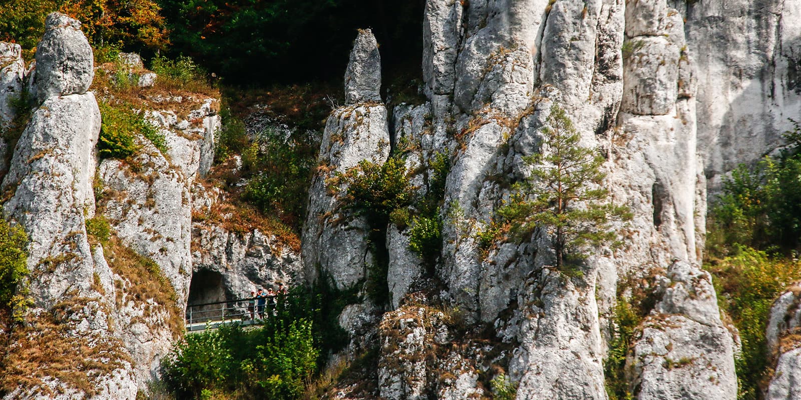
Stage three is one of the most interesting, as you will get to the largest of the eagle nests – Ogrodzieniec Castle. Also, you will see Góra Zborów, which is a beautiful site and there is a possibility to wild camp here if you desire. The views from the area are very beautiful and there are a couple of rock formations used by climbers. The highlight of this stage is Okiennik Wielki, a beautiful rock formation with a window inside that you can climb and explore. Note that it is not visible from the trail but it is just 50m from the path, so it’s worth taking a small reroute and a break.

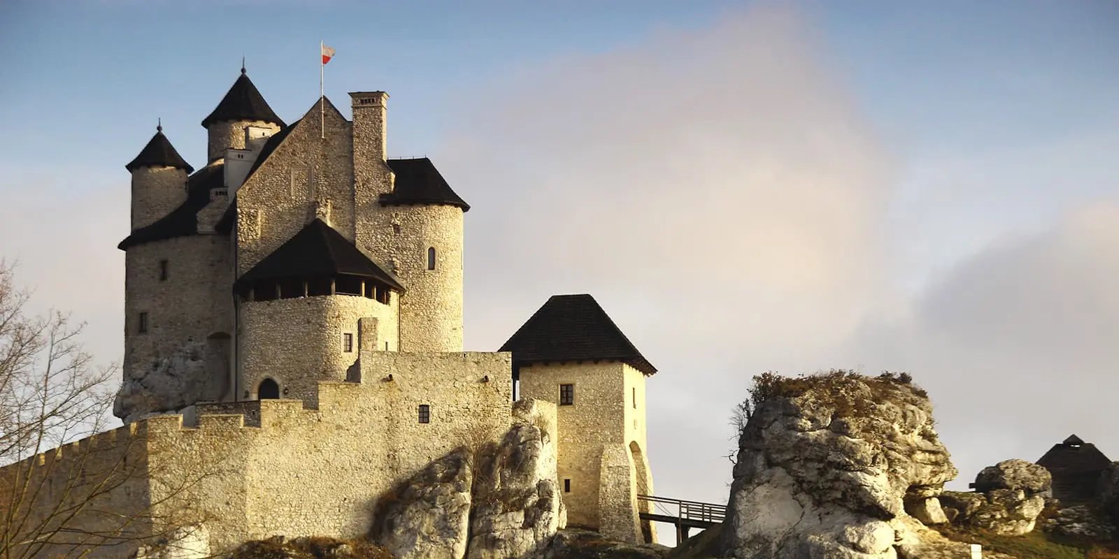
You’ll find that the fourth stage is also very interesting as you will see two twin castles built in a beautiful Jurassic landscape – Bobolice and Mirów. Both castles were renovated and there is an admission fee. Around the area, there are a couple of shops, restaurants, a hotel, and food trucks where you can try Polish fast food like“zapiekanki.” In the evening, you will get to Złoty Potok, a little town that is famous for trout breeding, so if you want there is a chance to try traditional fish dishes.

The final day is as difficult as the first day because it ends in the city, which means – a lot of asphalt surface. But before you get there, on your way there is a highlight, Olsztyn Castle, which is the second biggest after Ogrodzieniec, but less crowded.

Stages

There are no official stages for the trail, but we’ve outlined a recommended 5-day route for people who are ready to walk it through fairly quickly. If you want to stop and enjoy the castles more, you may want to add on another day or two.

5-stage itinerary

Stage 1:

Kraków –Sułoszowa, 36 km | 22 mi

Stage 2:

Sułoszowa – Góry Bydlińskie, 34 km | 21 mi

Stage 3:

Góry Bydlińskie – Okiennik Wielki, 29 km | 18 mi

Stage 4:

Okiennik Wielki – Złoty Potok,  34 km | 21 mi

Stage 5:

Złoty Potok – Częstochowa, 33 km | 20 mi

Accommodations

The recommended five stages are for wild camping, but you can easily organize a similar route with the option to sleep in lodges, agritourism, or camping sites.

On the trail, you will find a lot of agritourism, lodges, little hotels, and other accommodations. Not all of them have a website, so there will be a simple banner displayed on the gate or strung up on the building. Most of them you can find on booking.com.

Best time of the year

The best time to walk the trail would be early summer, autumn, or spring. The peak of the season might be crowded and because the trail is along asphalt roads, it might not be very pleasant to walk along if there is traffic and the attractions are crowded.

Safety & Gear

The trail is suitable for everyone. Use regular common sense and there is no need for any equipment either. There are no dangerous places on the trail.

However, it is worth remembering a huge part of the trail is led on asphalt, so it is a good idea to wear comfortable shoes with good cushioning. Also note that the infrastructure of the roads was renovated but the trail was not rerouted, so there are some places where you need to walk along a main road with traffic without a sidewalk or roadside. During the high season, the main attractions sites are crowded and the roads are as well, so you need to be very careful when crossing the streets.

If you going in the winter, take spikes and waterproof shoes as there might be a lot of snow.  It is worth installing the RATUNEK application. In the event of an accident, just press the button on your phone’s display three times and the emergency services will be informed about the need to carry out a rescue operation. The application transmits your current location to the services using GPS and the battery level in your phone. The app is free of charge, the same as all rescue operations in the Polish mountains.

Emergency numbers:

  • 999 – Emergency medical services. The call is answered directly by a medical distributor.
  • 112 – This emergency number is valid throughout the European Union. After the call, the operator notifies the appropriate services: ambulance, fire brigade, police, water rescue services, etc.
  • +48 601 100 300 GOPR – Mountain Volunteer Emergency Medical Services, emergency services in the Beskid.

Good to know

Some of the main attractions in Jura are close to the trail but you need to reroute a bit to see them. For example, the symbol of Ojców National Park, Hercules’ Club, is not visible from the trail. You need to walk 100m to see it. It is the most famous rock formation in Poland, a symbol of the entire Jurassic region, which you can see on many postcards, promotional videos, and guidebooks. So it is worth walking a hundred meters more to see it! Also, there are many attractions near Ojców, for example: “The Glove” rock and “Jaskinia Ciemna.” For all of these, you will need to add some time. All of the attractions are listed on the websites below.

There are no water sources between villages. You can only refill water in restaurants, shops, or using your accommodation. There are settlements where you can ask local people to refill. There are a few springs and rivers but you will need to have a proper water filter for these.

Most of the shops are closed on Sunday. According to the law, only private shops can be open, but the opening hours are not set.

Route
Point to point
Mountain
516m (1692 ft)

Want to submit a trail or make this page more complete?

Always read the disclaimer

Terms of Use: important to all visitors on this website. We strive to publish high quality content and information on this website. However it’s always possible that we’re missing out on some crucial information. In spite of the fact that this route, associated GPS track (GPX and maps) were prepared under diligent research by the specified contributor and/or contributors, the accuracy of such and judgement of the author is not guaranteed. Therefore, hiking-trails.com and contributors are in no way liable for personal injury, damage to personal property, or any other such situation that might happen to individuals hiking or following this route. Should you choose to hike this trail, this is always at your own risk. Check out our guidelines for safety hiking and Leave No Trace principles at the hiking 101 page.

Download GPX

Join the community!

Login or create a FREE account 😊

With an account you can:

Download GPX files

Pin trails to your wishlist

Mark trails as hiked by you

Rate hiking trails

Comment on trails, blogs and gear reviews

Happy trails!
Login

Don't have an account yet? Register here