About the Dutch Mountain Trail

country
Netherlands
length
100 km(62 mi)
Type of trail
Long-distance
difficulty

Difficulty is highly personal. Be aware of the weather conditions as bad weather turns easier trails in difficult trails especially in the mountains.

Easy
accommodation

Lodging means a mix of hotels, hostels or AirBnB’s.

Camping, Lodging
Elevation gain
1600 m(5249 ft)
terrain
Flat, Forest, Hills, Urban
remoteness
Some of the time
Show more

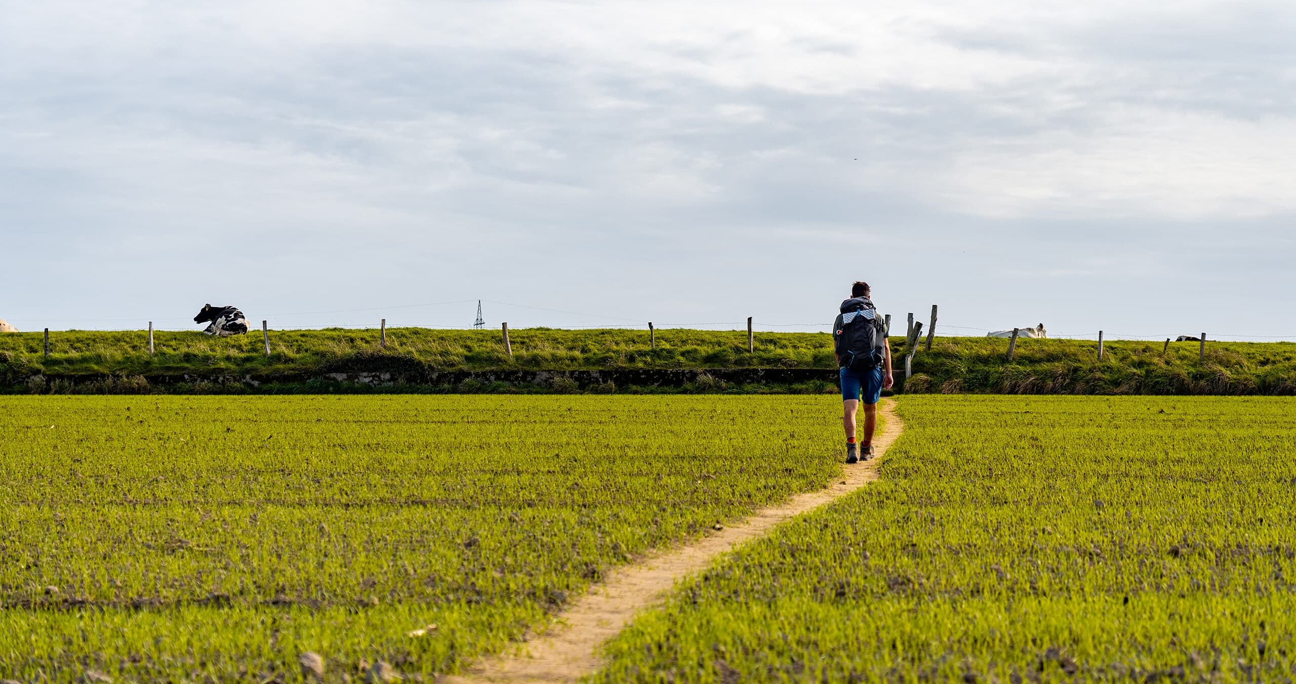
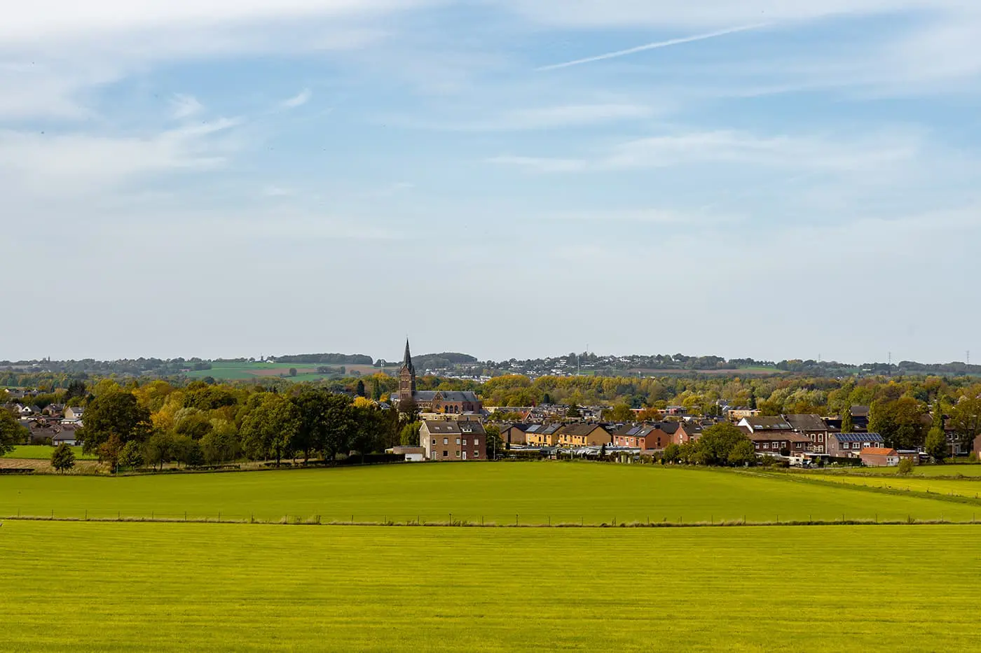
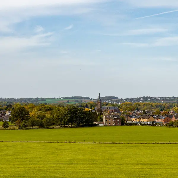
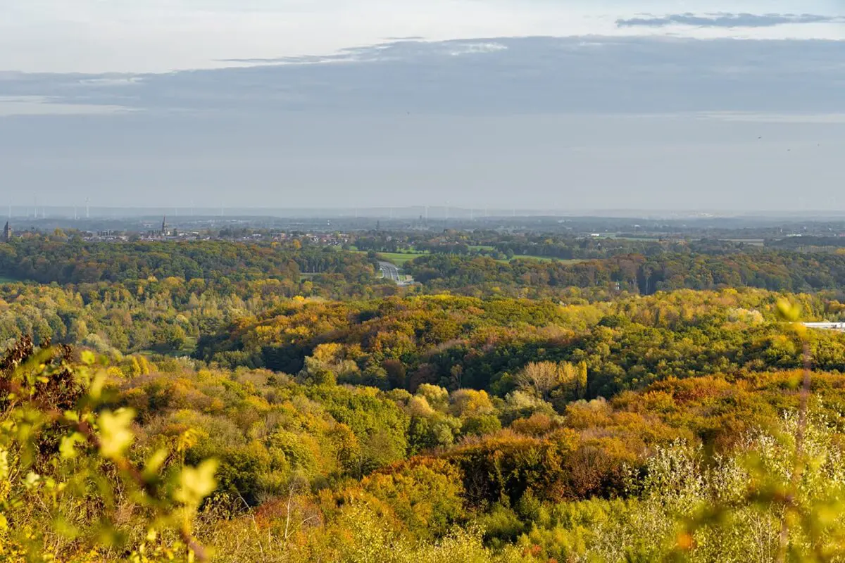
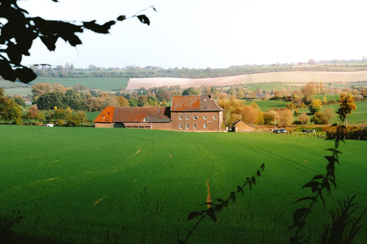
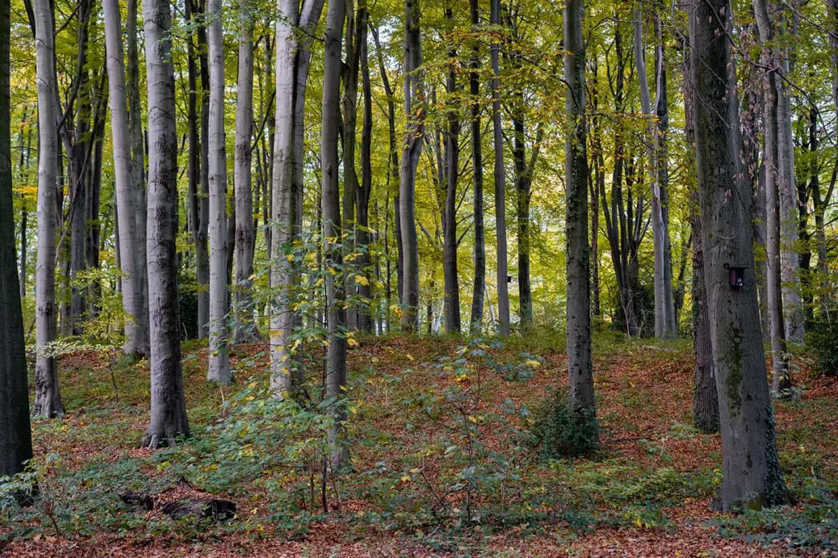
Since 2020, the Netherlands has been home to a challenging long-distance hiking trail: the Dutch Mountain Trail (DMT). This path diverges from the country’s typical flat landscapes, featuring summits, hills, quarries, and valleys instead. Stretching over 100 kilometers, it traverses the seven summits of South Limburg, including the Netherlands’ highest point, the Vaalserberg. The Dutch Mountain Trail not only showcases the rolling hills but also takes you back in time, passing by ancient mines and remnants from both World Wars, marking it as the most demanding trail in the country.
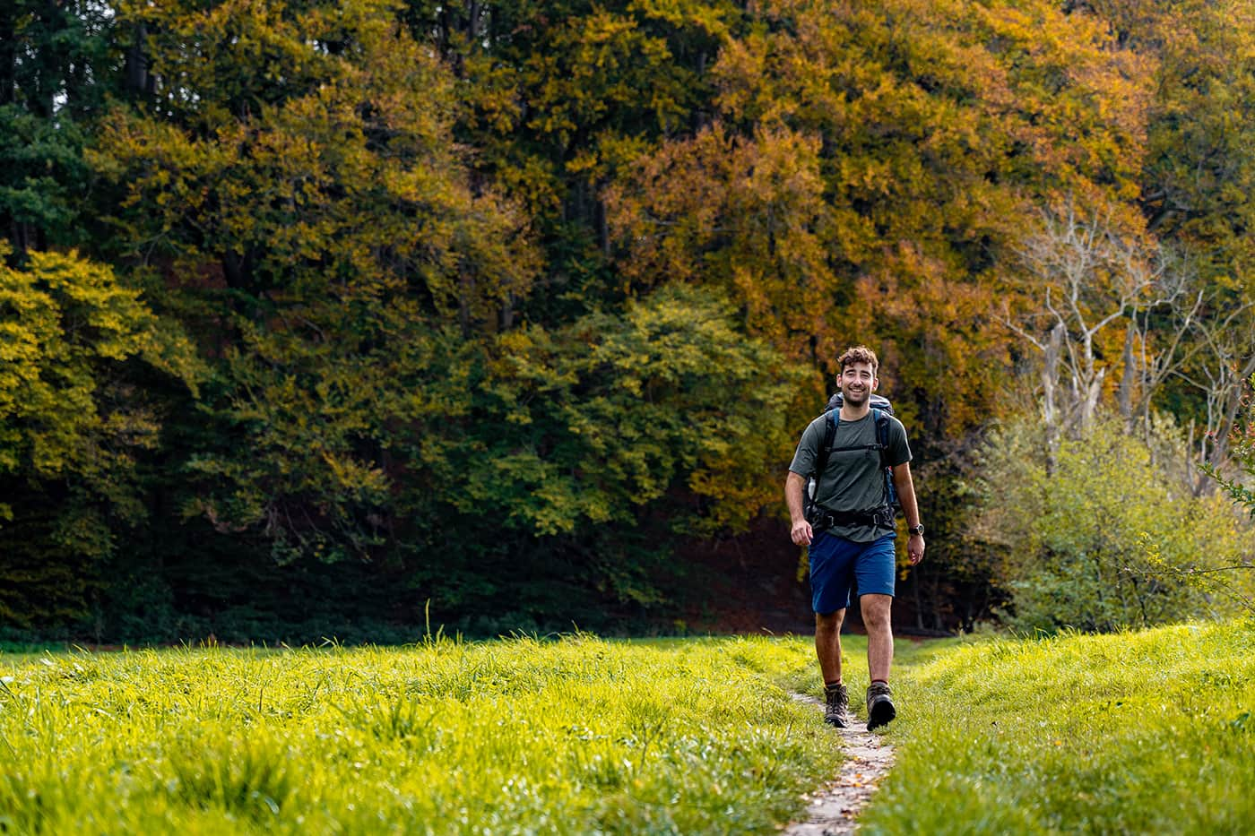
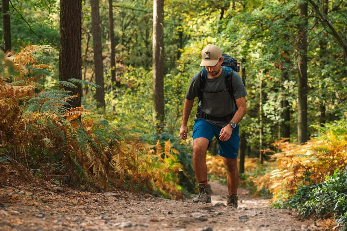
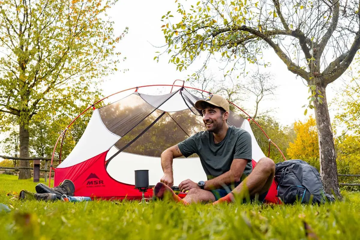
 Hikers can enjoy the Dutch “mountains” along this route.

If you are seeking more intensity, trail running is an option, with the record being just over 10 hours. Accommodations are versatile, ranging from camping at the end of each stage to staying in hotels or B&Bs, with each day’s journey ending in a village.

Editor

Elmar Teegelbeckers

Passionate hiker Elmar spends months of his time on the trail. He’s usually on the lookout for hidden gems in one of his favourite countries such as Slovenia, Switzerland and Japan. He founded hiking-trails.com in need for a community and detailed information about the trails. Before this, he worked for the Alpine asscociation in the Netherlands[ (NKBV) but lost his heart to the trails.

With this website and socials, he hopes to shape an inclusive community for hikers all over world. No matter your speed, experience or level, you can get out there to enjoy the trails and connect with the heartwarming hiking community. Life is so much better outside and he hopes to inspire hikers to take their first, or next, step on the trail.

View profile

The Trail

The trail starts at Eygelshoven station and ends in Maastricht at the train station. Typically, it takes four days to complete, with daily distances ranging between 22 and 28 kilometers.

The first stage starts at Eygelshoven station, leading to Vaals, the most famous ´mountain´ village in the Netherlands, situated on the edge of an ancient volcano. The path goes through Limburg’s hilly landscape, offering views of hills, expansive plains, and small villages, each centered around a church tower.

Along the way, the trail passes by the ‘Miljoenenlijn,’ an old railway line that once transported coal, and dragon’s teeth, large concrete blocks used during World War II to halt allied tanks. These relics are part of the Westwall, a 600-kilometer defensive line comprising bunkers, walls, and dragon’s teeth. The trail includes the ascent of the Wilhelminaberg and the crossing into Germany to climb the second mountain, the Schneeberg, offering stunning views of Vaals and its church tower. The first day ends with camping at Gastmolen.

The second day’s trek leads through the ‘high mountains’ of the Netherlands, from Vaals to Gulpen, featuring more challenging ascents. From the campground, the route climbs the highest point in the Netherlands, the Vaalserberg, at 322 meters above sea level, located at the tripoint of Belgium, Germany, and the Netherlands. This region, rich in zinc mines, has a complex history of territorial changes following the Napoleonic Wars. The day’s journey, reminding you of French countryside walks, ends after 23 kilometers in Gulpen.

The third day starts with a climb to the summit of Gulperberg, known for its steep gradient popular among cyclists, setting the tone for a 26-kilometer stage. The route includes two more of the seven summits and passes through historical and scenic landscapes, ending in Mheer.

The final day leads to Maastricht, featuring some technical sections, especially in muddy conditions where walking sticks are helpful. The last summit, D’n Observant, an artificial hill from quarrying activities, offers magnificent views over the Maas valley. The trail passes by the Enci quarry and the endpoint of another renowned long-distance trail, the Pieterpad, before concluding at Maastricht station after 101 kilometers on the Dutch Mountain Trail.

Stages

Stage 1:

Station Eygelshoven – Vaals, 28 km | 17.4 mi

Stage 2:

Vaals – Gulpen, 23 km | 14 mi

Stage 3:

Gulpen – Mheer, 26 km | 16 mi

Stage 4:

Mheer – Station Maastricht, 24 km | 15 mi

Accommodations

Every stage of the Dutch Mountain Trail ends in a small village. Here, you can choose to pitch your tent at the campsite or book accommodations such as a hotel or B&B. Wild camping is not allowed in the Netherlands.

If you want to camp at the Dutch Mountain Trail, these are the suggested campsites at the end of the stages.

Campings per stage

Best time of the year

The Dutch Mountain Trail can be walked year-round. However, the best time of the year is between May and October when the weather is the best with higher temperatures and there is less rain. In the winter months, the Dutch Mountain Trail becomes the Dutch Mud Trail.

Safety & Gear

As for every hiking trail, safety begins with good planning and preparation. Bring your essentials to the trail, layer up, and know how to navigate. As you’re hiking in The Netherlands, a town and civilization is never far away but it’s always better if you can rely on yourself. Always pack a rain jacket when hiking in the Netherlands.

Good to know

The area between the Meuse and Rhine rivers – where the mountains begin – has a rich history. Deposits from the Carboniferous and Cretaceous periods determine the subsoil. The rich coal layers gave the region a flourishing mining industry, and the marl led to the formation of caves and quarries. The soil is extremely fertile for fruit cultivation and vineyards in the territory of the badger, beaver, and kingfisher.

The Dutch Mountain Trail starts at Eygelshoven station. You can take the sprinter train from Heerlen station to Kerkrade, where you get off at Eygelshoven station. There is also a parking lot next to the station.

Route
Point to point
Highest point
322m (1058 ft)

Guidebooks

cover guidebook

Dutch Mountain Trail

View guidebook

Want to submit a trail or make this page more complete?

Comments

Be the first one to comment on this trail!

Reply to this trail

Your email address will not be published. Required fields are marked *

Reply to this trail

Log in to comment on this trail
Always read the disclaimer

Terms of Use: important to all visitors on this website. We strive to publish high quality content and information on this website. However it’s always possible that we’re missing out on some crucial information. In spite of the fact that this route, associated GPS track (GPX and maps) were prepared under diligent research by the specified contributor and/or contributors, the accuracy of such and judgement of the author is not guaranteed. Therefore, hiking-trails.com and contributors are in no way liable for personal injury, damage to personal property, or any other such situation that might happen to individuals hiking or following this route. Should you choose to hike this trail, this is always at your own risk. Check out our guidelines for safety hiking and Leave No Trace principles at the hiking 101 page.

Download GPX

Join the community!

Login or create a FREE account 😊

With an account you can:

Download GPX files

Pin trails to your wishlist

Mark trails as hiked by you

Rate hiking trails

Comment on trails, blogs and gear reviews

Happy trails!
Login

Don't have an account yet? Register here