About the Drenthepad

country
Netherlands
length
361 km(224 mi)
Type of trail
Long-distance
difficulty

Difficulty is highly personal. Be aware of the weather conditions as bad weather turns easier trails in difficult trails especially in the mountains.

Easy
accommodation

Lodging means a mix of hotels, hostels or AirBnB’s.

Lodging, Camping
Elevation gain
760 m(2493 ft)
terrain
Forest, Flat, Heathland, Sand dunes
remoteness
Some of the time
Show more

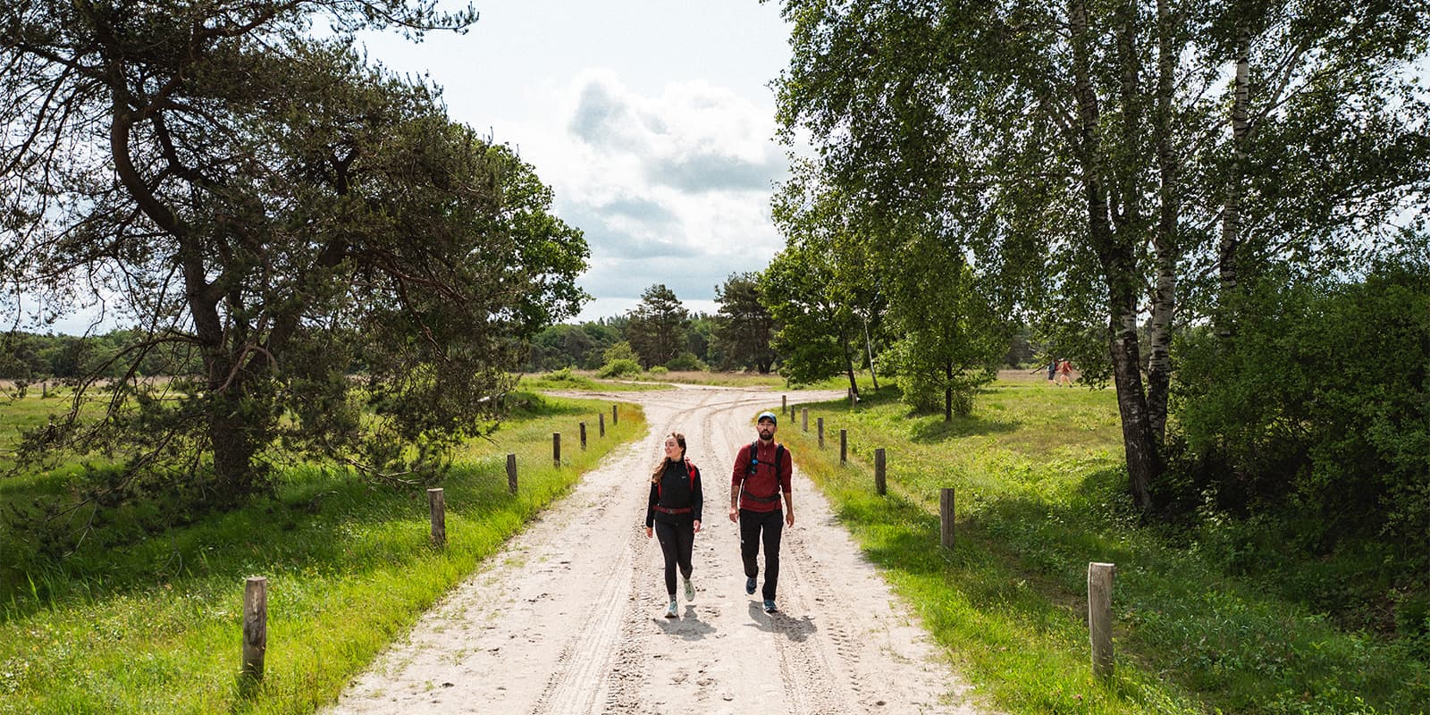
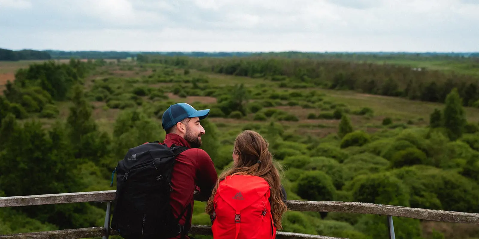
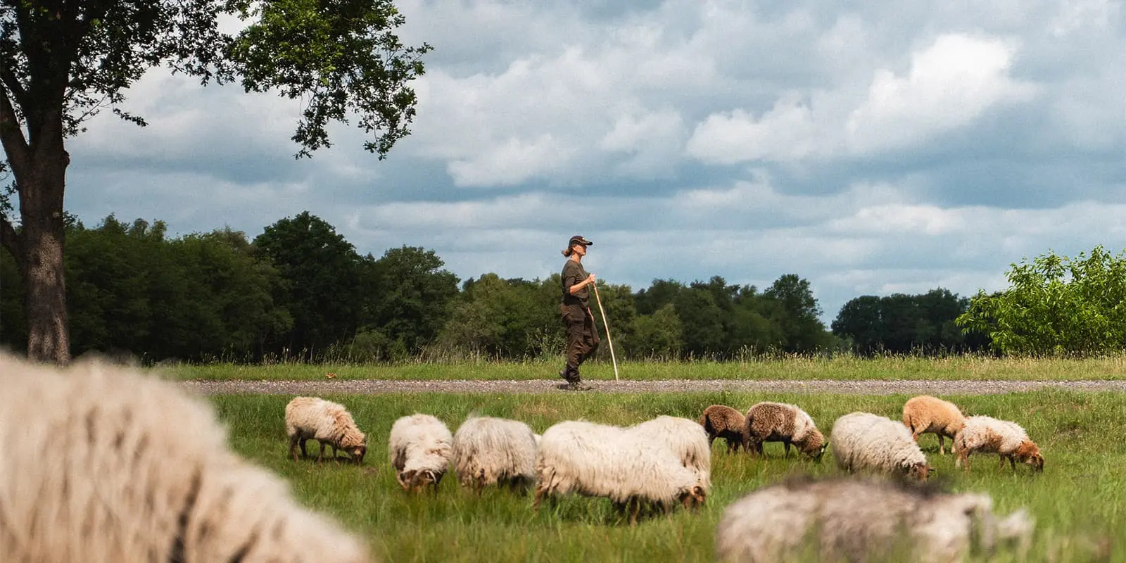
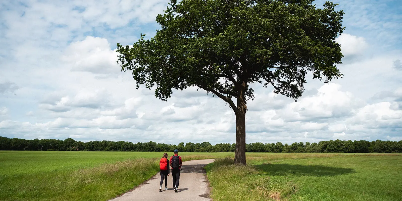
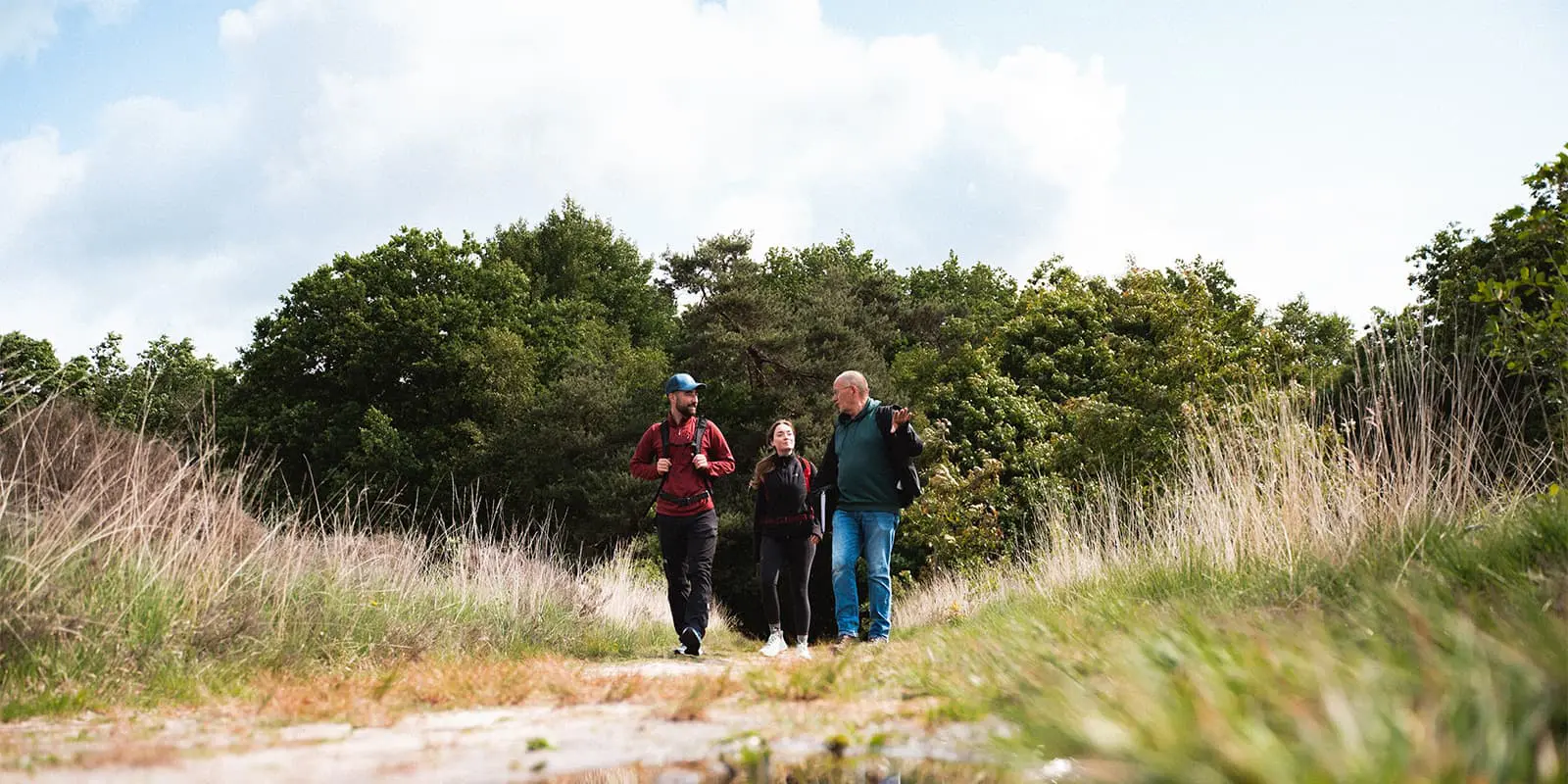
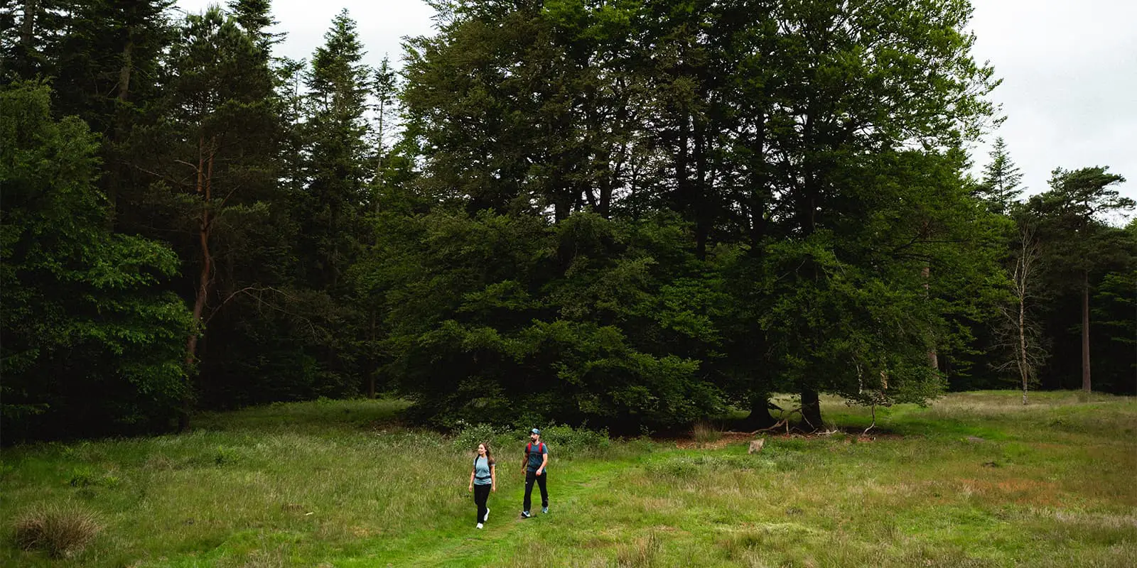
Het Drenthepad is one of the most beloved long-distance hiking trails in the Netherlands. This circular route leads through the entire province of Drenthe, offering a serene and varied trail experience through one of the country’s most historic and nature-rich landscapes.

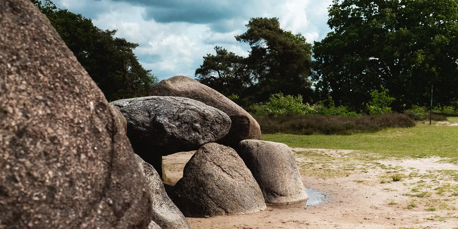
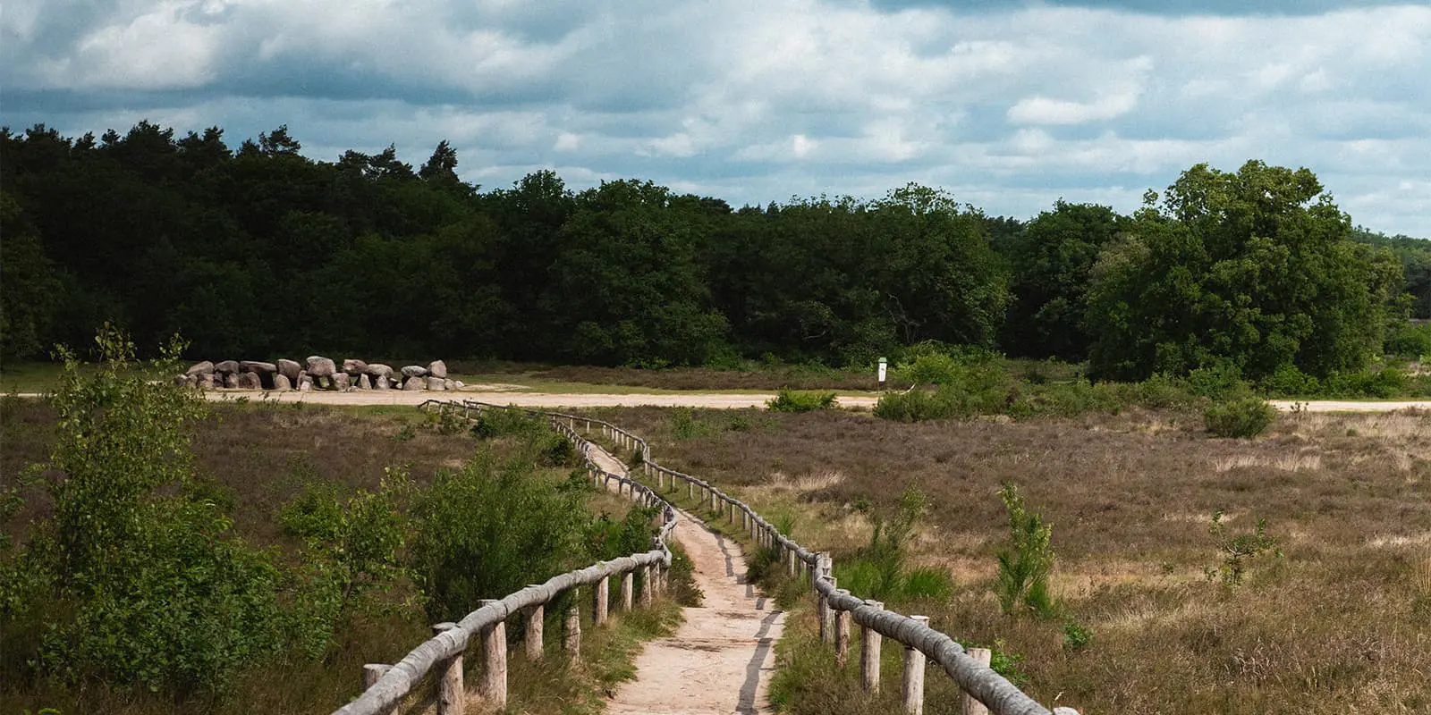
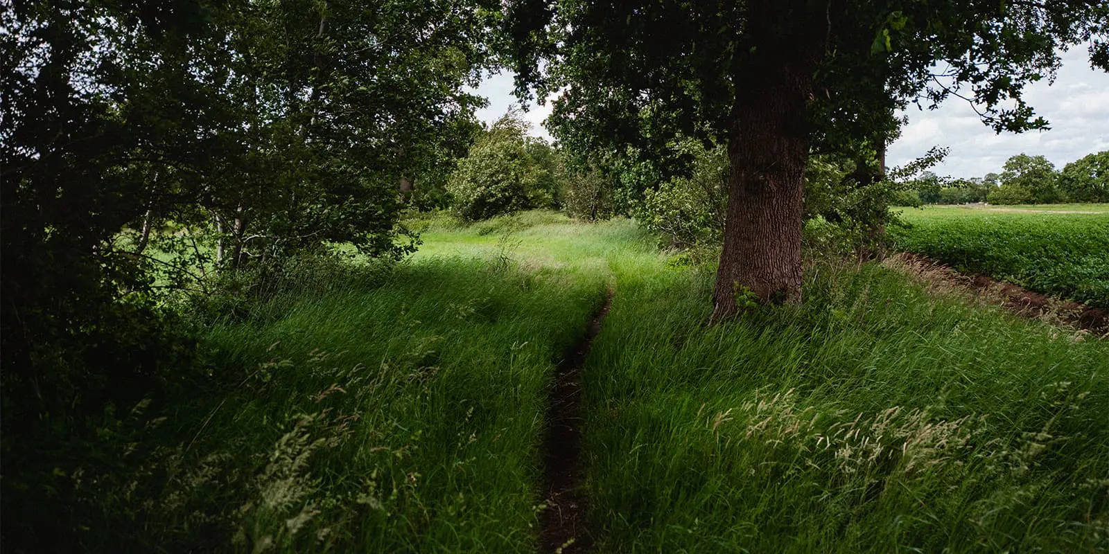
Divided into 20 stages, the Drenthepad takes you through wide heathlands, forests, sands dunes, and along farmland. What makes this trail special is the balance between natural beauty and cultural heritage. You’ll pass hunebedden (prehistoric megalithic tombs), the old peat colonies, canal systems, and the site of the former Westerbork camp. all reminders of a deep and layered past in this corner of the Netherlands.

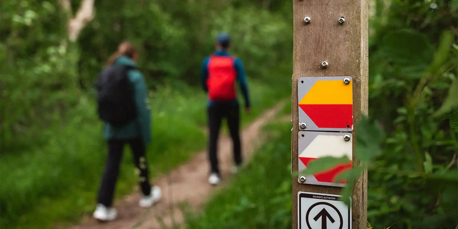
The route was developed by Nivon Natuurvrienden and is maintained in cooperation with local volunteers and walking clubs. It’s one of the long-distance LAW trails, marked clearly with yellow-red stripes, and connects seamlessly with other hiking trails in the Netherlands such as the Friese Woudenpad and Hondsrugpad.

Elmar profile picture
Editor

Elmar Teegelbeckers

Passionate hiker Elmar spends months of his time on the trail. He’s usually on the lookout for hidden gems in one of his favourite countries such as Slovenia, Switzerland and Japan. He founded hiking-trails.com in need for a community and detailed information about the trails. Before this, he worked for the Alpine asscociation in the Netherlands[ (NKBV) but lost his heart to the trails.

Not long ago, Elmar published the book (in Dutch) Hiking Trails – best long-distance trails in Europe. With this book, website and socials, he hopes to inspire and shape an inclusive community for hikers all over world. No matter your speed, experience or level, you can get out there to enjoy the trails and connect with the heartwarming hiking community. Life is so much better outside and he hopes to inspire hikers to take their first, or next, step on the trail.

You can reach Elmar at info@hiking-trails.com.

View profile

The Trail

The Drenthepad is officially 361 kilometers long and loops through the full breadth of the Drenthe province. You can start anywhere, but the trailhead at Beilen is one of the more common starting points. The loop format allows for excellent flexibility in planning and makes it convenient to do short weekend sections or a full thru-hike over two to three weeks.

The trail terrain is varied but accessible, consisting mostly of forest trails, heathland paths, gravel tracks, and rural paths. You’ll cross no fewer than three national parks: Dwingelderveld with its vast wet heaths and birdlife, Drents-Friese Wold with its sand dunes and woodlands, and Drentsche Aa with its valley landscapes and forests.

One of the things that makes the Drenthepad particularly special is its quietness. Drenthe is one of the least populated provinces in the Netherlands, and the trail often leads through areas where you can walk for hours without encountering a car or even another person.

Highlights of the Drenthepad include the prehistoric hunebedden, megalithic tombs older than the pyramids. In National Park Dwingelderveld, you’ll pass through Europe’s largest contiguous wet heathland. In Drents-Friese Wold, the shifting sands contrast beautifully with shaded pine forests.

In the north, the trail leads to Veenhuizen, once a reform colony, now a UNESCO World Heritage Site. In the east, you’ll reach the memory-laden grounds of Kamp Westerbork. And throughout the walk, you’ll pass charming villages, field systems, old canals, and cozy cafés.

Stages

The Drenthepad is divided into the following 20 stages. Find more information about the stages at: Drentepad.nivon.nl

Each stage ends in or near a village or town, usually with options for accommodation and supplies. The trail is fully signposted and also available digitally via GPX downloads from the official site.

20-stage itinerary

Stage 1:

Beilen – Ruinen, 21.3 km

Stage 2:

Ruinen – Holtingerveld, 17.0 km

Stage 3:

Holtingerveld – Diever, 17.8 km

Stage 4:

Diever – Appelscha, 23.1 km

Stage 5:

Appelscha – Veenhuizen, 14.4 km

Stage 6:

Veenhuizen – Norg, 19.0 km

Stage 7:

Norg – Roden, 18.0 km

Stage 8:

Roden – Peizermade, 23.5 km

Stage 9:

Peizermade – Glimmen, 17.1 km

Stage 10:

Glimmen – Zuidlaren, 15.6 km

Stage 11:

Zuidlaren – Gieten, 21.1 km

Stage 12:

Gieten – Borger, 16.3 km

Stage 13:

Borger – Odoornerdennen, 17.7 km

Stage 14:

Odoornerdennen – Emmen, 15.2 km

Stage 15:

Emmen – Oosterhesselen, 19.4 km

Stage 16:

Oosterhesselen – Nieuw Balinge, 14.5 km

Stage 17:

Nieuw Balinge – Westerbork, 17.0 km

Stage 18:

Westerbork – Elp, 15.5 km

Stage 19:

Elp – Hooghalen, 17.3 km

Stage 20:

Hooghalen – Beilen, 20.1 km

Accommodations

There is a wide range of accommodation options along the Drenthepad, from cozy bed & breakfasts and hotels to hostels, hiker huts (trekkershutten), Nivon Natuurhuizen and campgrounds. Most towns and villages along the route offer at least one place to stay, and hikers can generally find lodging within a day’s walk of any point on the trail.

Some of the national park areas also feature hiker-friendly campgrounds or nature camping sites, ideal for those wanting a more trail experience. During the high season or holidays, it’s recommended to book ahead.

Best time of the year

The Drenthepad can be enjoyed in all seasons, but the most popular hiking window is from April through October. In spring, the heathlands begin to bloom and the landscape is rich in birdlife. Summer offers the most stable weather. Autumn is especially beautiful in the forests, with golden leaves. Winter hiking is possible, particularly on the more sandy and forested stages, though trails can become muddy and some accommodations may be closed or operate for limited hours.

Safety & Gear

The Drenthepad is a safe and accessible route, with minimal elevation gain and well-maintained paths. However, hikers should be prepared for changing Dutch weather. Layered clothing, a wind- and waterproof jacket, sun protection, and comfortable shoes are essential. Many sections are remote and without facilities along the way, so carrying enough water and snacks is wise.

The trail is waymarked but carrying a GPX file or printed map can be helpful, especially in areas with intersecting local routes or poor weather. Also, be respectful of wildlife and protected landscapes, stay on paths and observe the leave no trace principles.

Good to know

The Drenthepad is a circular trail and can be walked in either direction. Public transport is available to most stage start and end points, with buses but it will take a while sometimes. Dogs are allowed on the trail if leashed, though some natural areas may have restrictions during nesting season. An official Dutch-language guidebook is available through Nivon on the official trail website, containing maps, background information, and practical tips.

Happy Trails!

route
Circuit
Highest point
25m

Want to submit a trail or make this page more complete?

Always read the disclaimer

Terms of Use: important to all visitors on this website. We strive to publish high quality content and information on this website. However it’s always possible that we’re missing out on some crucial information. In spite of the fact that this route, associated GPS track (GPX and maps) were prepared under diligent research by the specified contributor and/or contributors, the accuracy of such and judgement of the author is not guaranteed. Therefore, hiking-trails.com and contributors are in no way liable for personal injury, damage to personal property, or any other such situation that might happen to individuals hiking or following this route. Should you choose to hike this trail, this is always at your own risk. Check out our guidelines for safety hiking and Leave No Trace principles at the hiking 101 page.

Download GPX

Join the community!

Login or create a FREE account 😊

With an account you can:

Download GPX files

Pin trails to your wishlist

Mark trails as hiked by you

Rate hiking trails

Comment on trails, blogs and gear reviews

Happy trails!
Login

Don't have an account yet? Register here