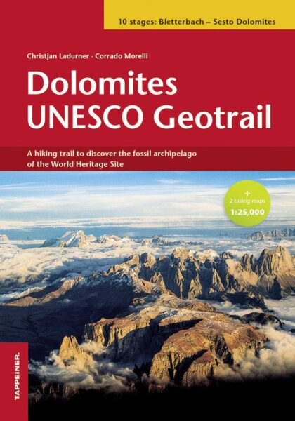
Book release!Pre-order: Hiking Trails (in English!)


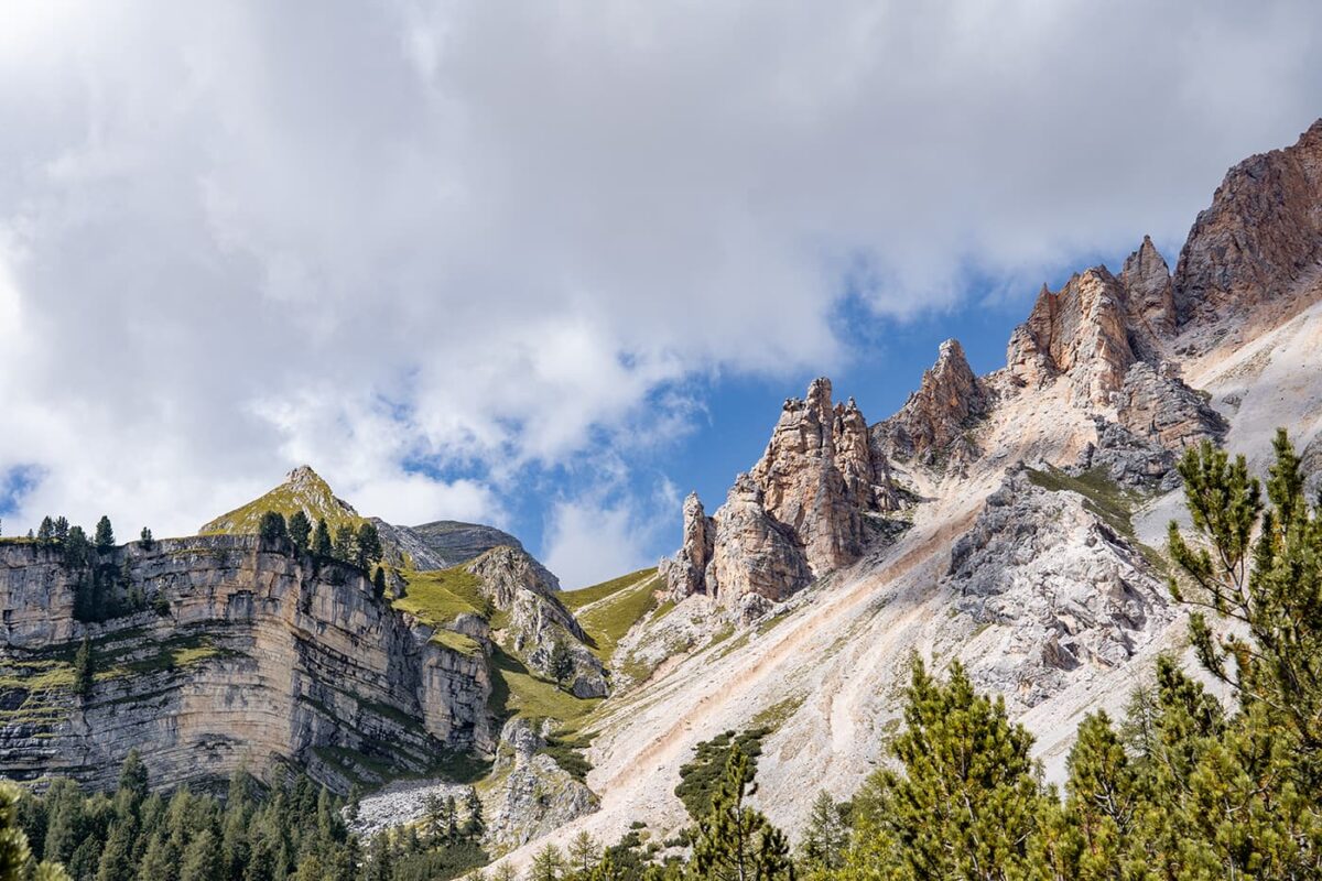
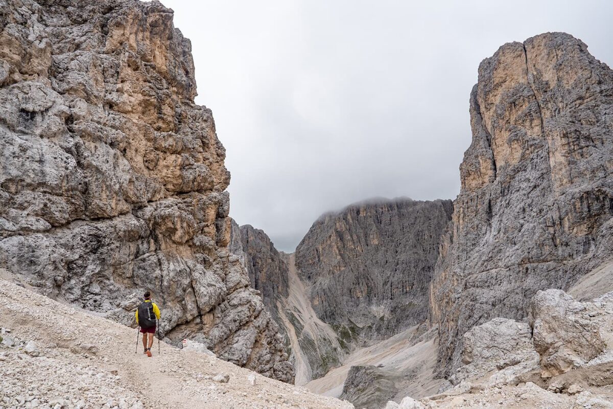
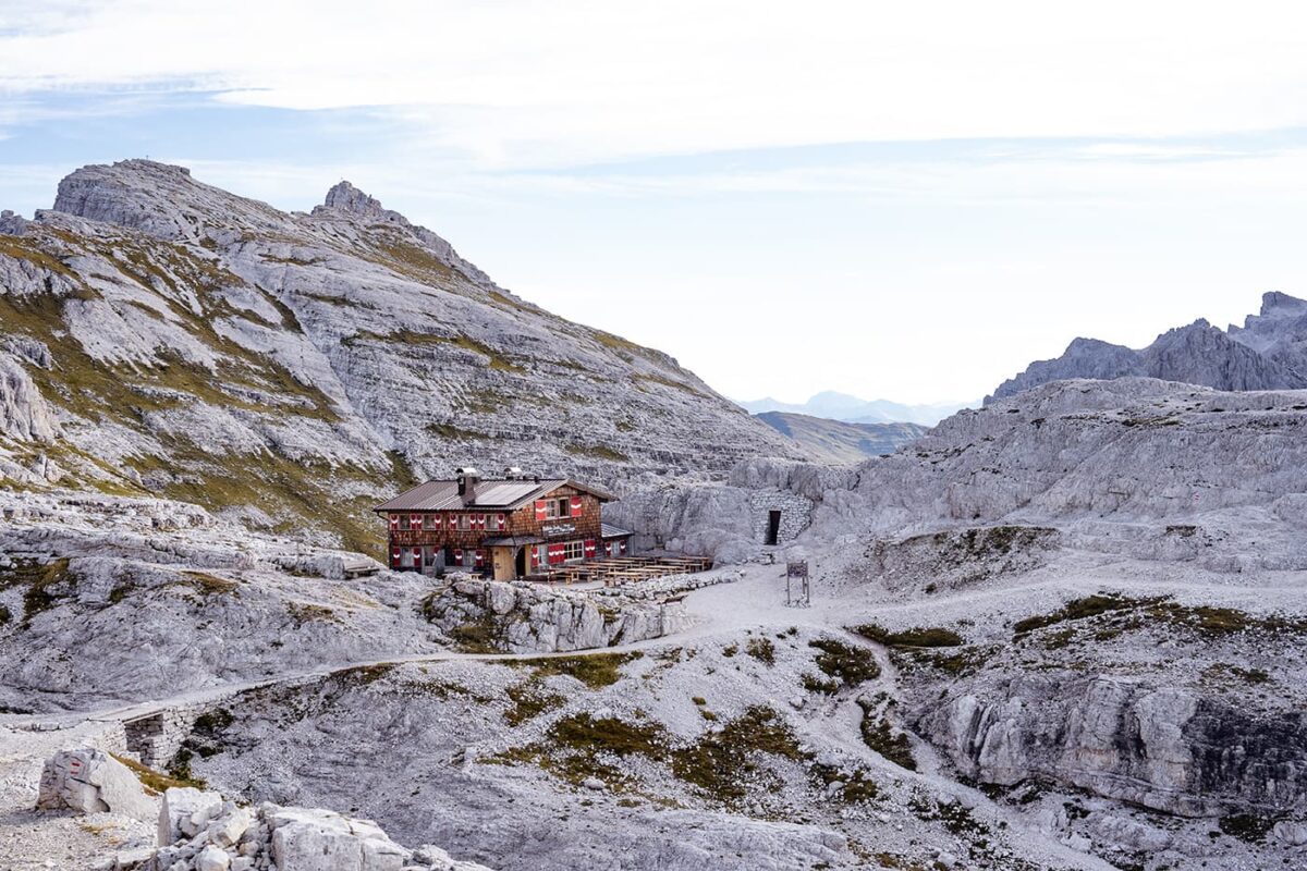
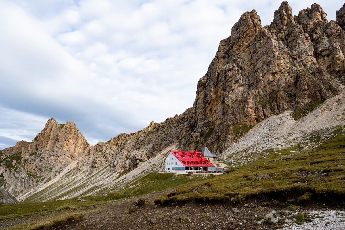
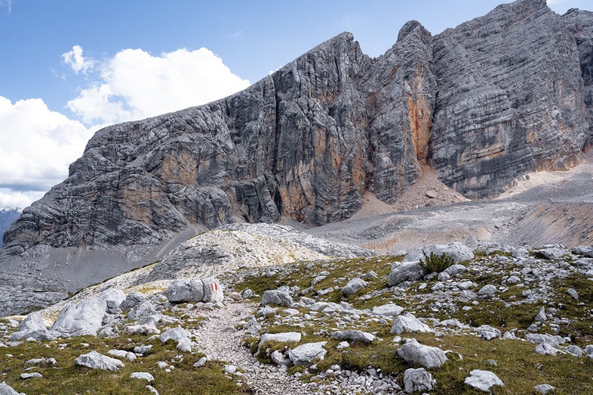
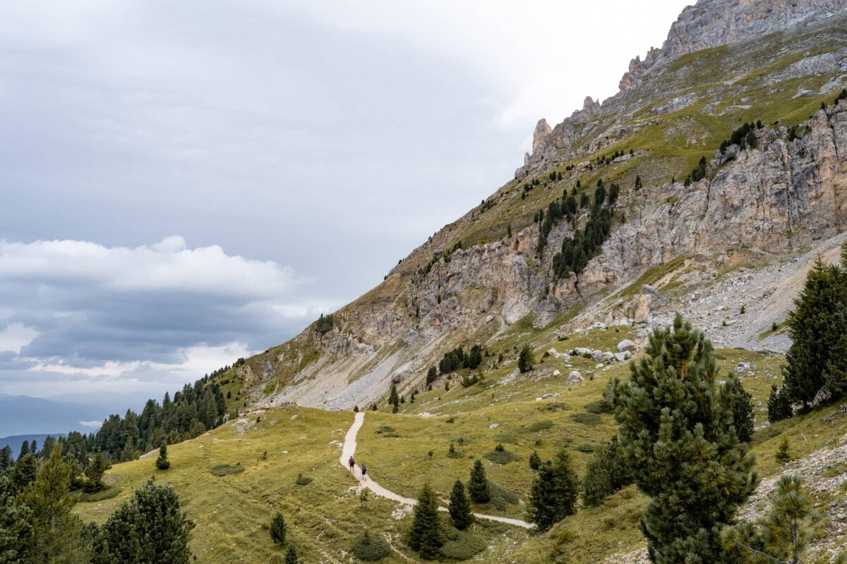
The Dolomites UNESCO Geotrail is a 176-kilometer trail through a UNESCO World Heritage site. The trail is a great chance to understand the geological history that shaped these mountains, with informative plaques and viewpoints along the way. You will hike from hut to hut, where you’ll get a full feel for the Dolomites.
The trail is difficult, and best for seasoned hikers. The Dolomites UNESCO Geotrail is a perfect trail if you want to discover the heart of one of Italy’s most spectacular mountain ranges.