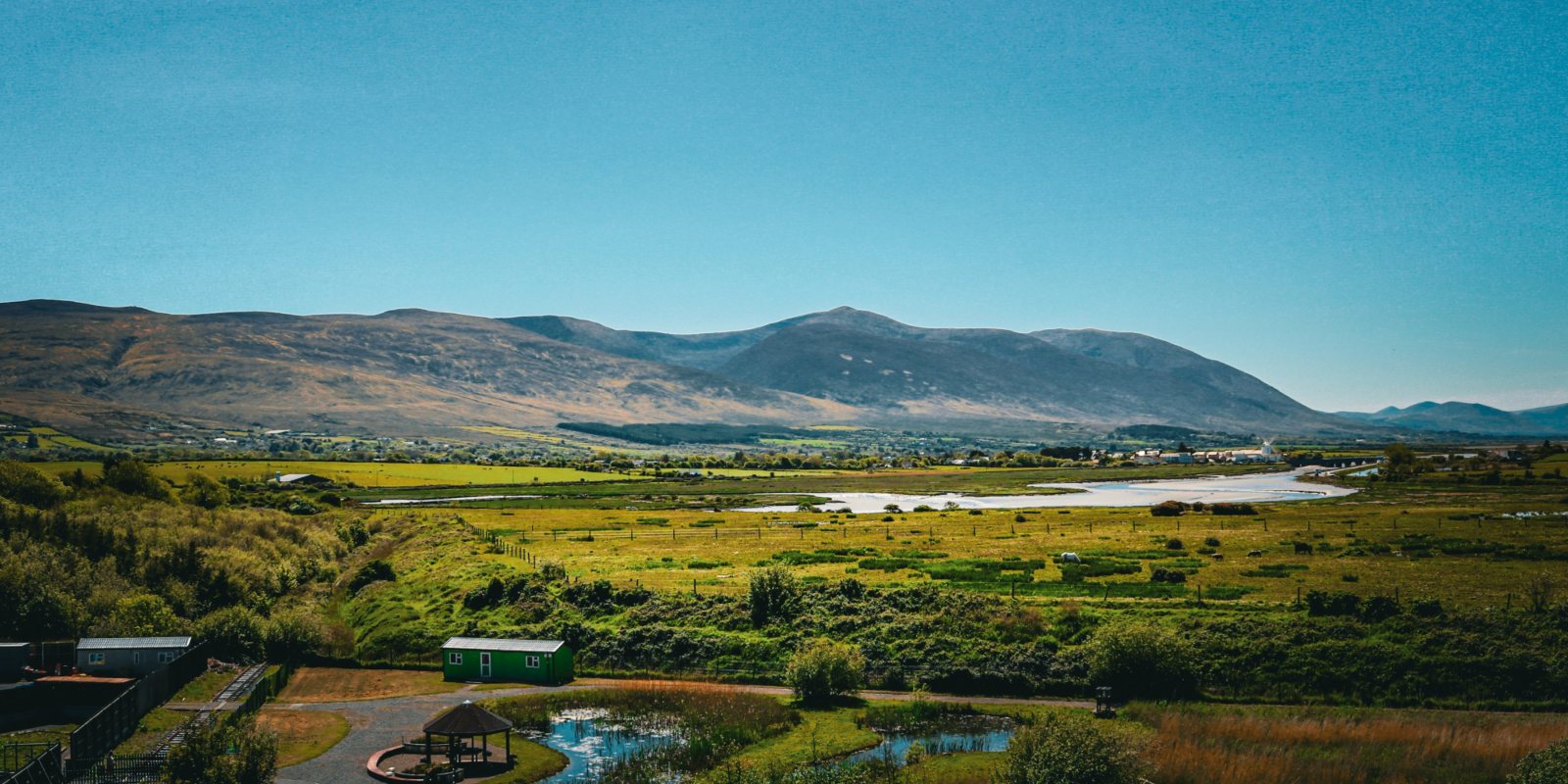
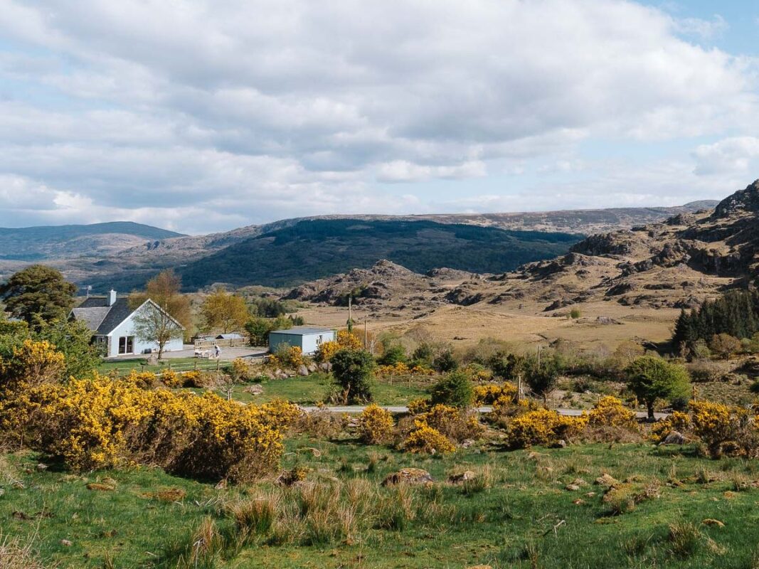
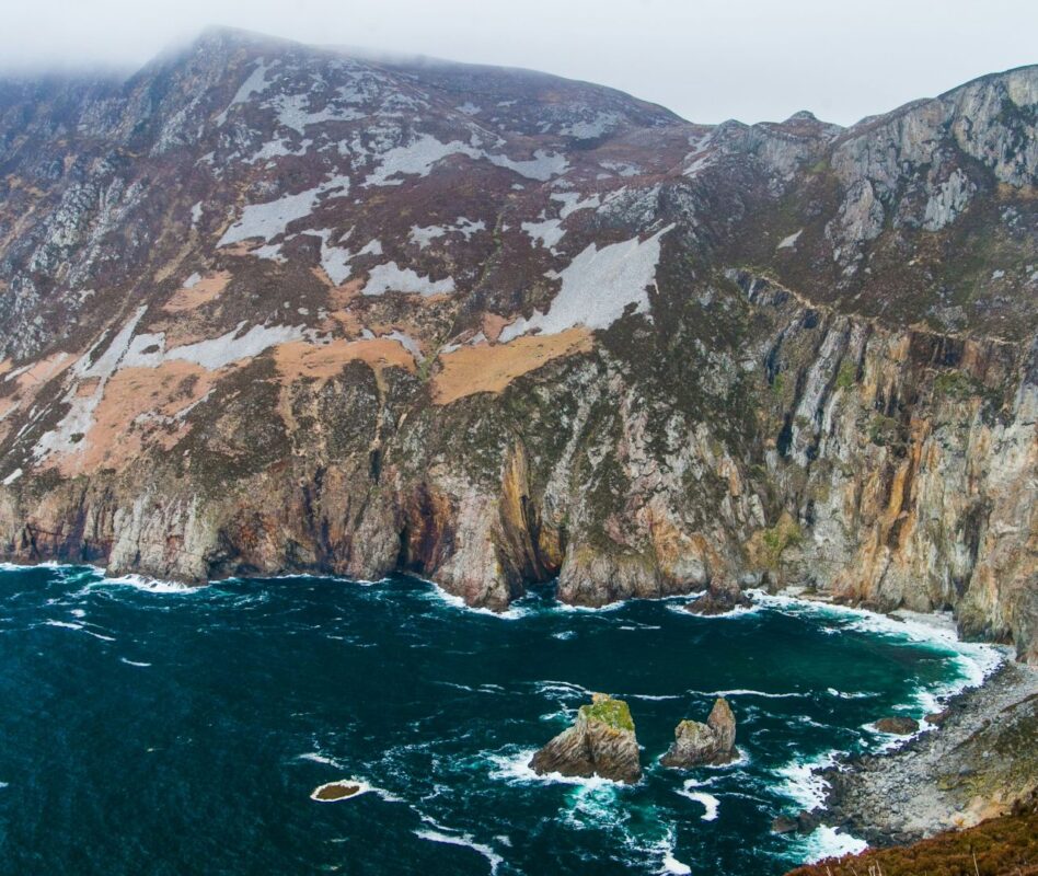
The Dingle Way begins in Tralee, the capital of County Kerry. This cozy town is well-connected and easy to reach by road, rail, or bus, making it an ideal starting point for starting the Dingle Way. From Tralee, the trail heads southwest, quickly taking you into the typical countryside of Ireland.
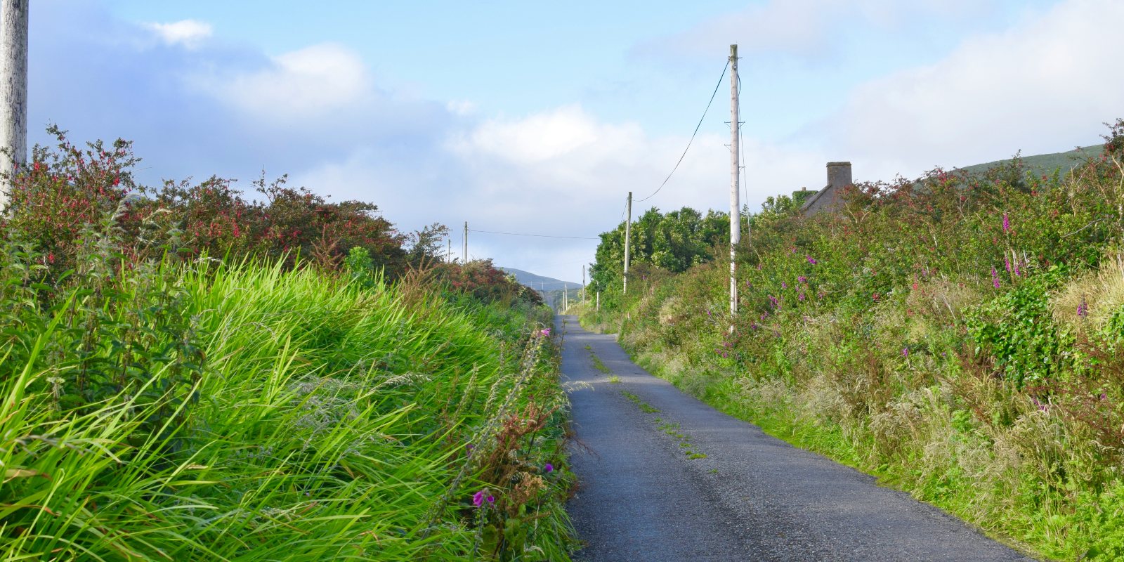
The first stage of the trail leads from Tralee to Camp, covering 18 kilometers. This relatively gentle section follows country roads and takes you through the farmland, with views over Tralee Bay and the Slieve Mish Mountains. The route is easy to follow and serves as a good warm-up for the days ahead.
Leaving Camp, the trail heads towards the small village of Annascaul, home to the famous South Pole Inn, a pub that commemorates the Antarctic explorer Tom Crean. This 17-kilometer stage passes by the stunning Inch Strand, one of Ireland’s longest beaches, offering hikers an opportunity to walk along the sand or take a break and enjoy the sea views.
The route from Annascaul to the well known town of Dingle is one of the highlights of the trail. This 22-kilometer section takes you through rolling hills and quiet roads, leading to the lively fishing town of Dingle, known for its music, food, and cultural heritage. Many hikers choose to spend an extra day or two here, exploring the town or taking a boat trip to see the famous Fungie the Dolphin.
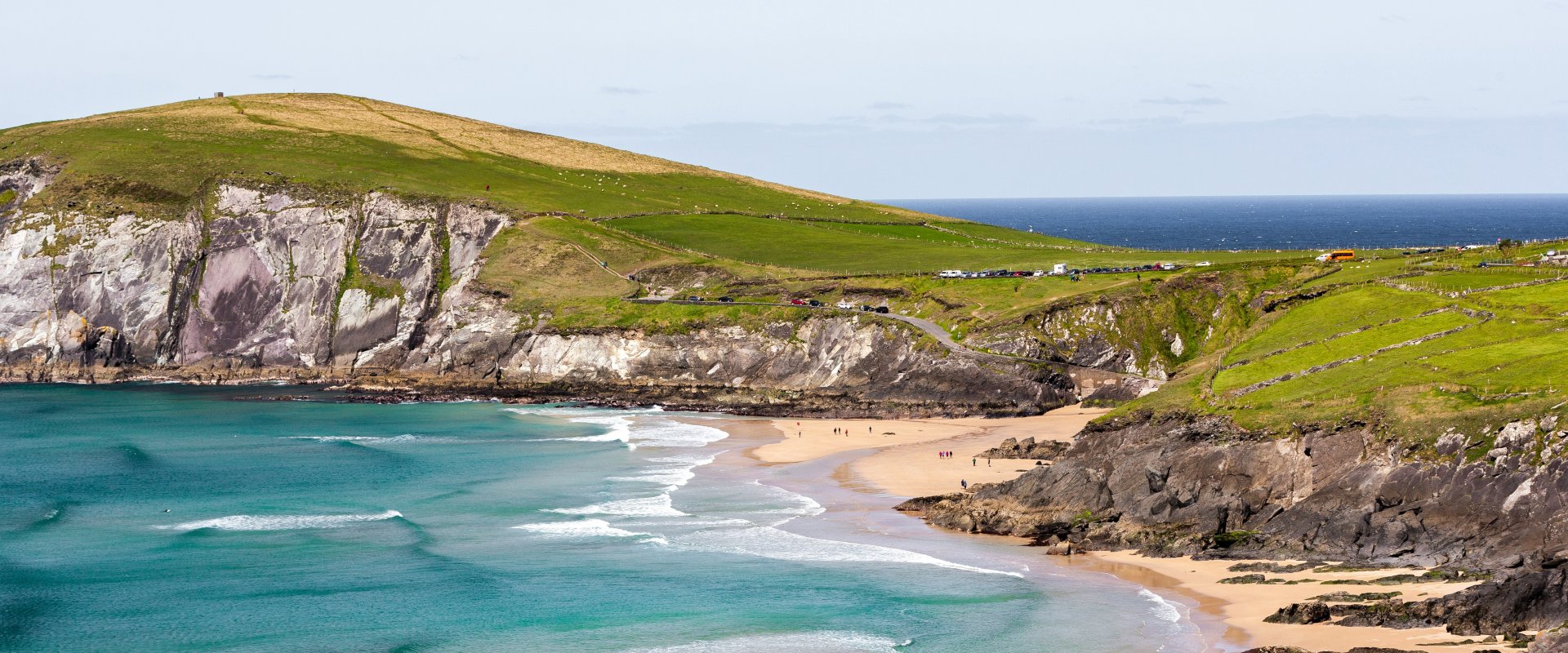
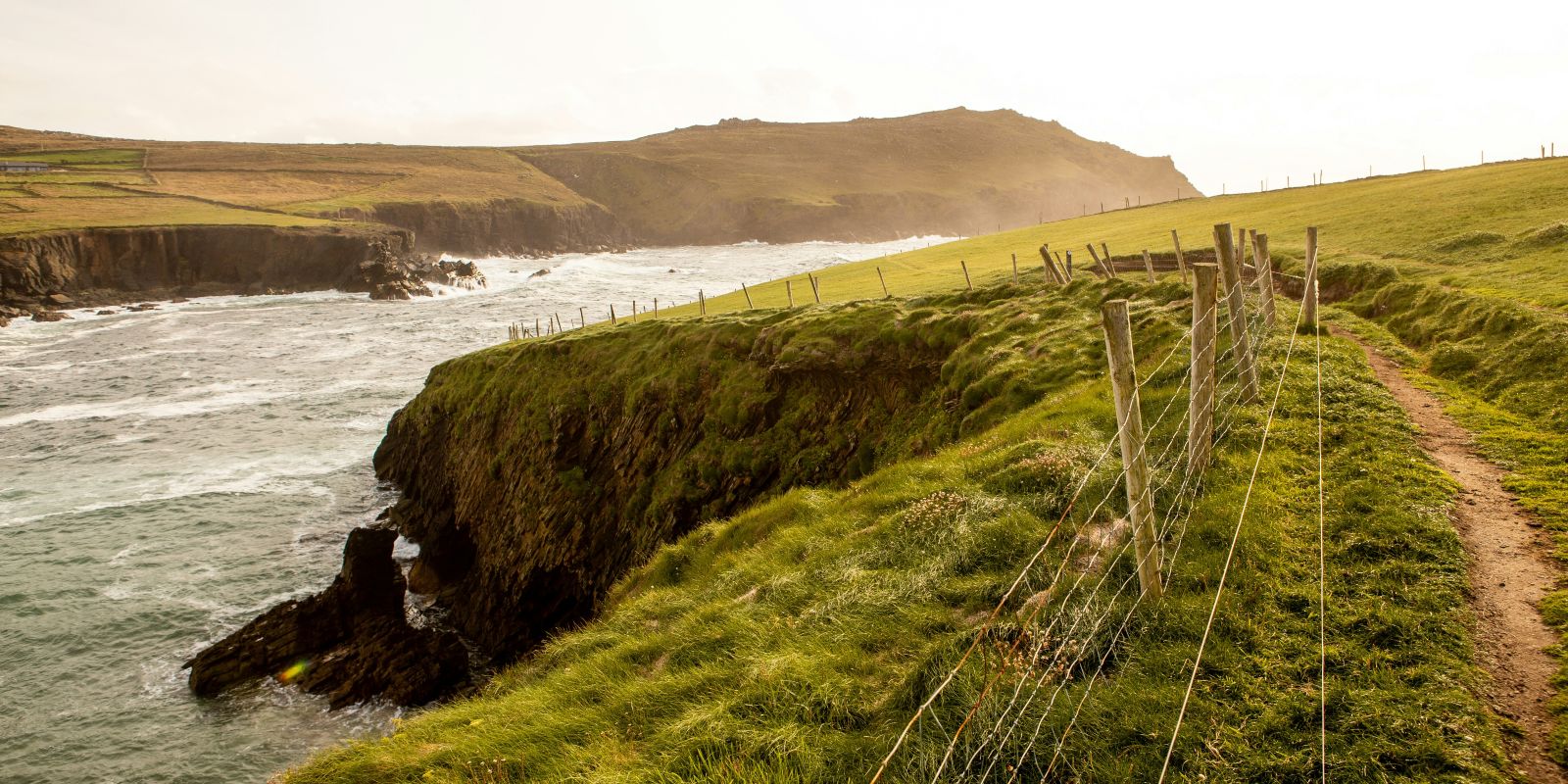
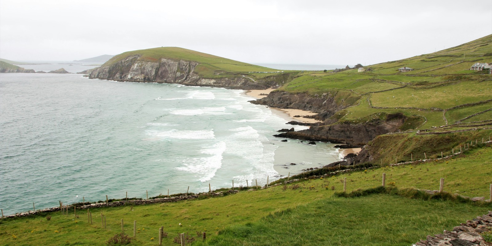
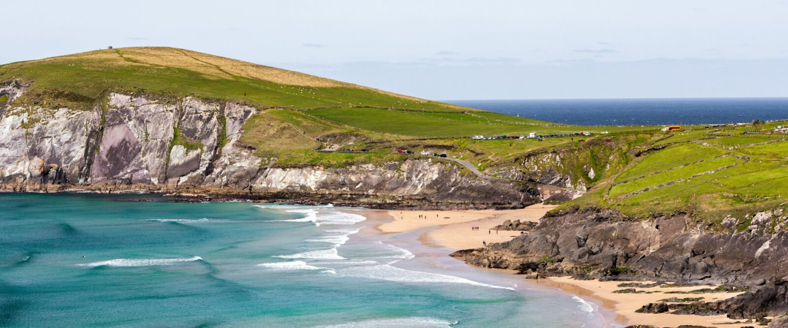
From Dingle, the trail continues westward along the coast towards Dunquin. This 20-kilometer stretch offers some of the most beautiful scenery on the entire trail, including views of the Blasket Islands and Slea Head, the westernmost point of Ireland. The trail follows country roads and coastal paths, with plenty of opportunities to stop and take in the coastal views.
The stage from Dunquin to Ballycurrane takes hikers through more remote and rugged terrain, gradually moving inland. As you approach Ballycurrane, you’ll be preparing for the ascent of Mount Brandon, the highest peak on the Dingle Way and a significant challenge.


