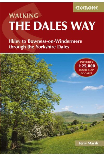
Book release!Pre-order: Hiking Trails (in English!)

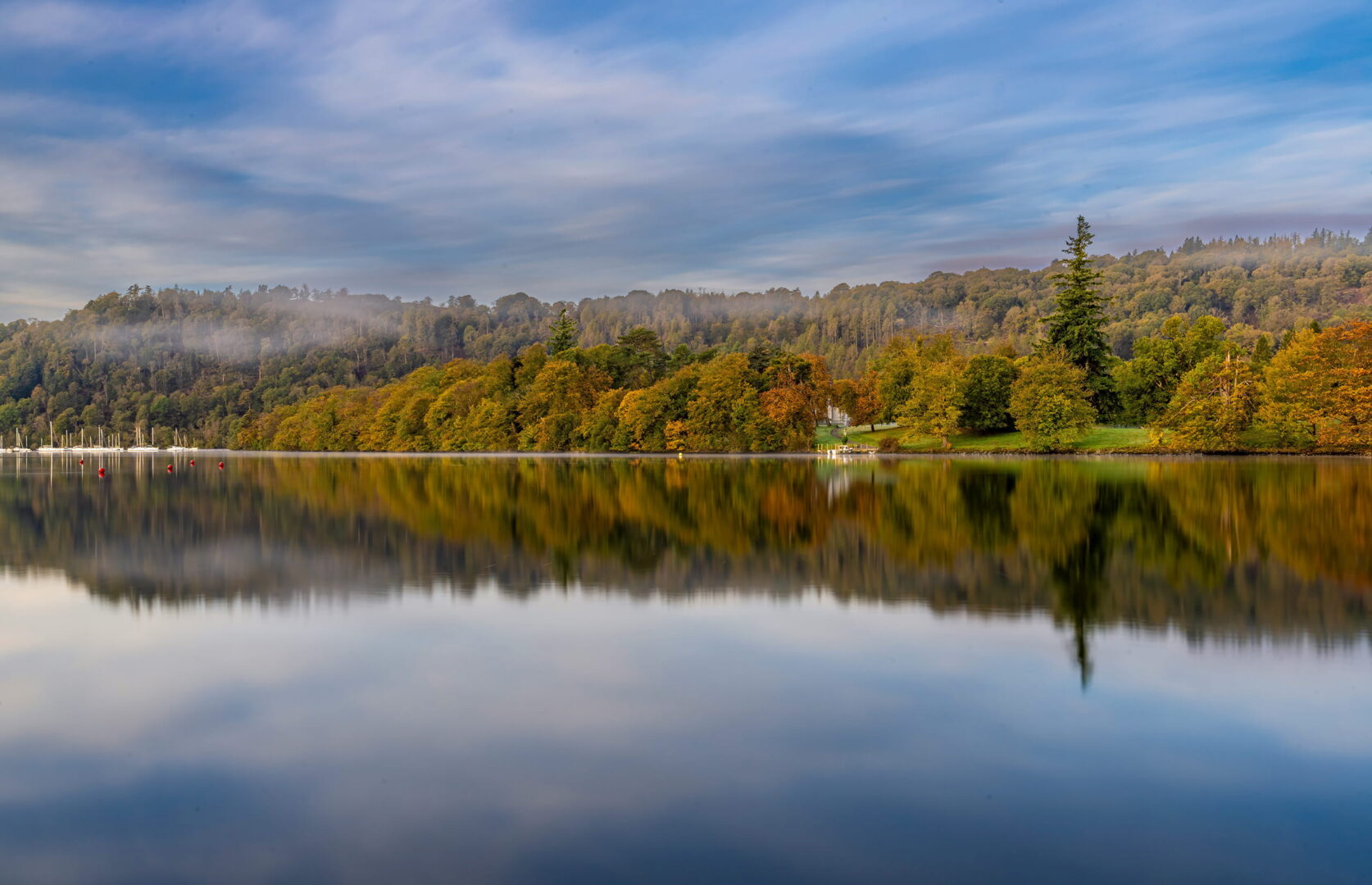
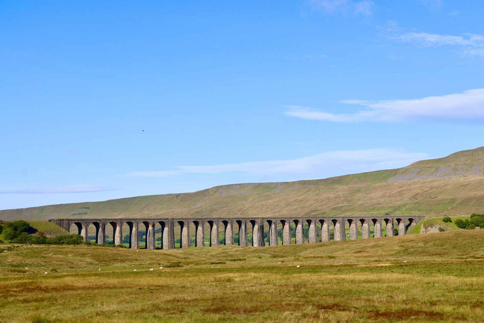
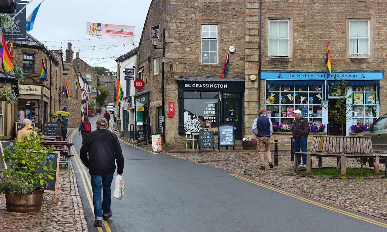
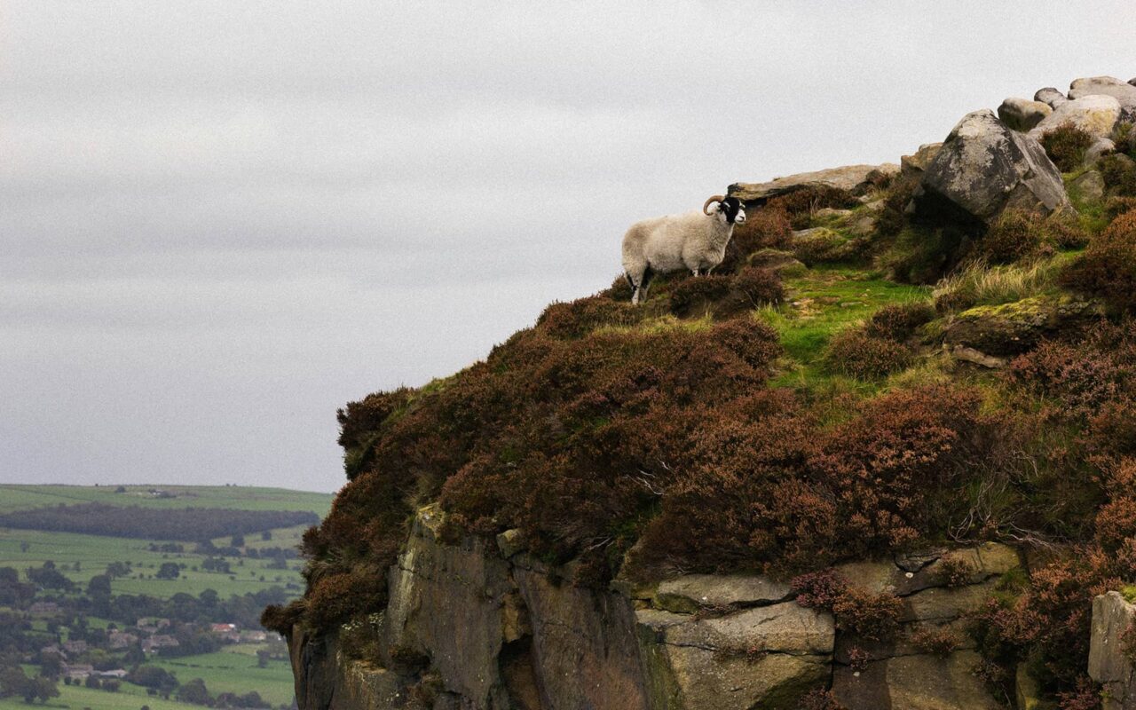
Taking you from the spa town of Ilkley in West Yorkshire to the shores of Bowness-on-Windermere in Cumbria, the Dale Way is a beautiful way to experience British culture. Originally created as a footpath in the early 1960s, the trail was officially designated as the Dale Way in 1980. Named after the picturesque valleys, or “dales,” it moves through, the trail is a great option if you want to learn about England’s rural heritage.
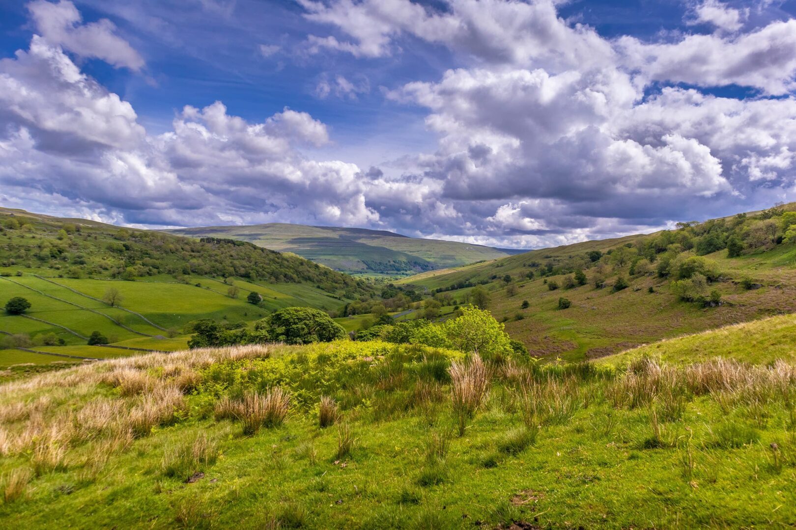
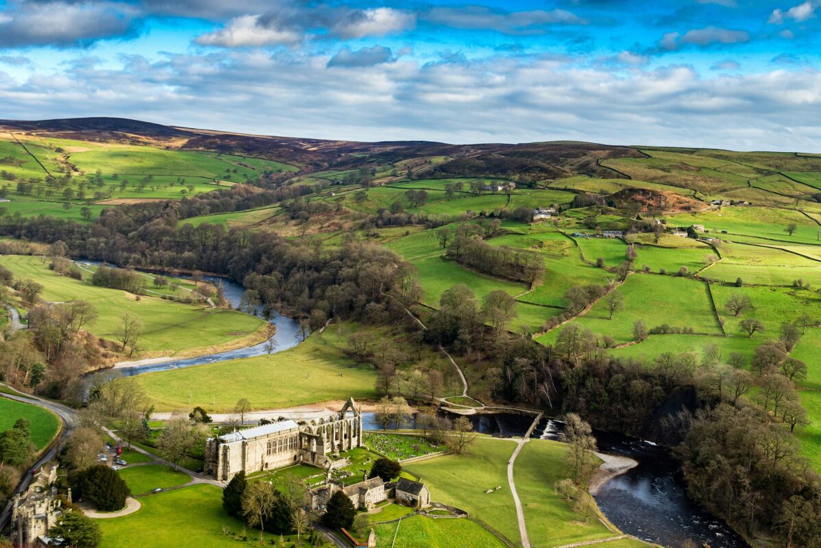
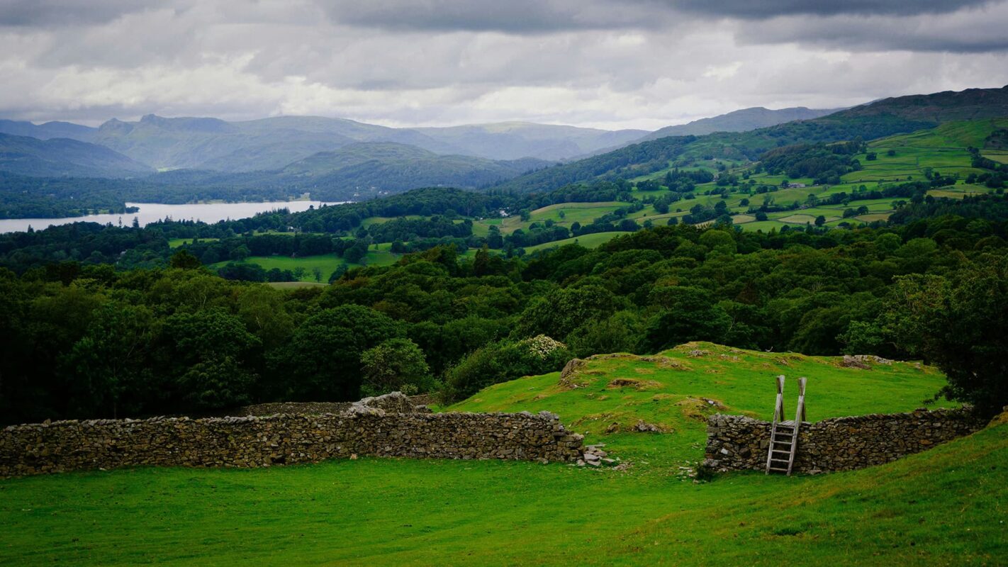
You have options to make this trail your own with a detour or stop in one of the cute towns along the way. Additionally, you can stay in local B&Bs on the trail to immerse in even more of the culture. Don’t forget to take lots of photos! This trail is gorgeous all year and will surprise you with something new every time you walk it.