About the Czech Trail

country
Czech Republic
length
2000 km(1243 mi)
Type of trail
Thru-hike, Long-distance
difficulty

Difficulty is highly personal. Be aware of the weather conditions as bad weather turns easier trails in difficult trails especially in the mountains.

Difficult
accommodation

Lodging means a mix of hotels, hostels or AirBnB’s.

Mountain huts, Camping, Lodging
Elevation gain
45000 m(147638 ft)
terrain
Mountains, Countryside, Forest
remoteness
Most of the time
Show more

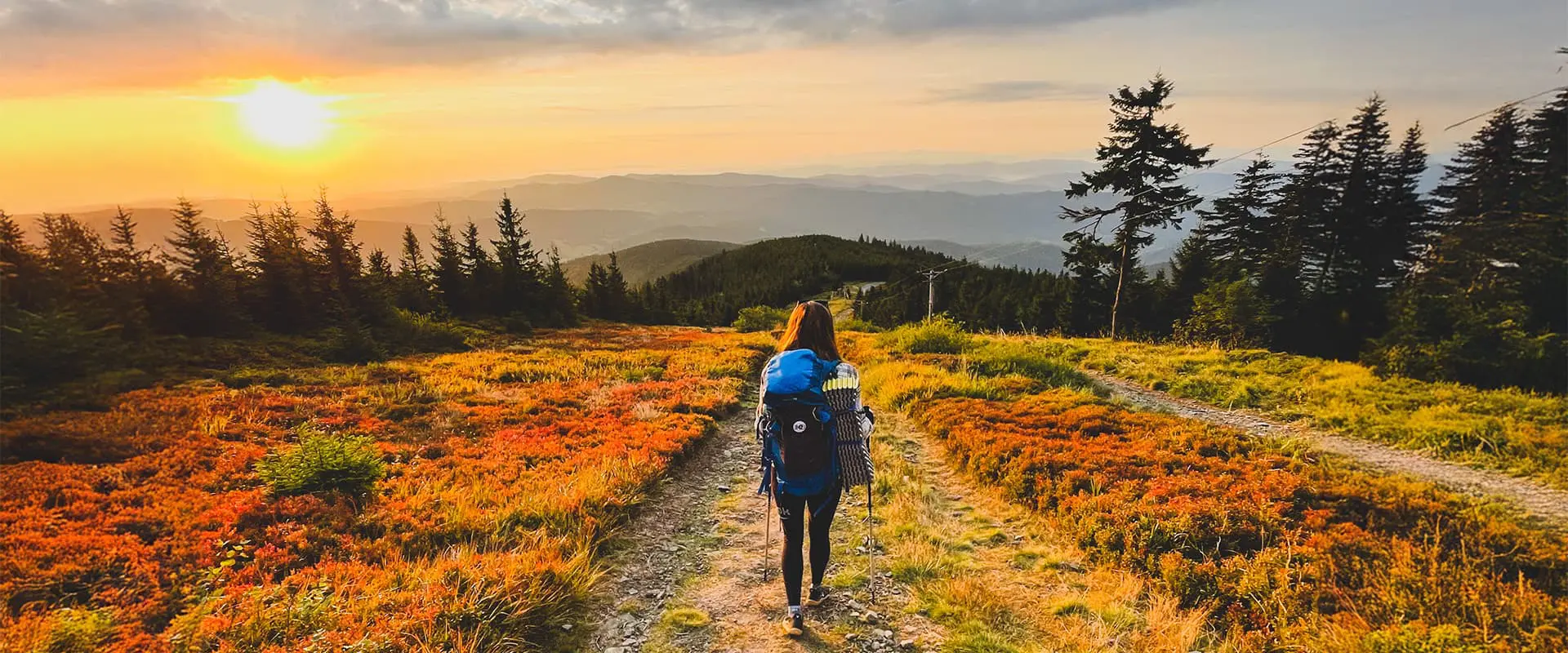
Until recently, Czechia lacked a thru-hike, but in the past few years the Czech Trail, also known as the “Stezka Českem,” was founded. Created by a group of hiking enthusiasts alongside the Czech Tourist Club, the trail was established in 2020. Divided into northern and southern routes, each stretching 1000 kilometers, it spans the entire country.

The Czech Trail is the perfect way to see the Czech Republic because it can be thru-hiked, section-hiked, or even day-hiked, weekend warrior-style. It can be completed as a hut-to-hut hike, or by camping, which means it really is suited to all styles of hikers.

Hanka profile picture

Hanka

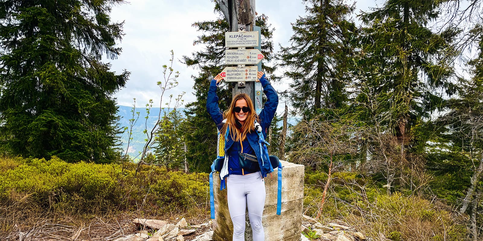
Hanka’s love affair with hiking began on the other side of the world – in New Zealand! She lived and hiked there for a year, just a woman, her van, and a backpack! Now, she’s home in the Czech Republic where she became a new mom in 2022. She wants to show to other (future) mums that hiking with a baby is a new level of adventure! Her past trails include hiking thru New Zealand, Austra, Slovakia, Italy, Slovenia, Germany, Switzerland and Tenerife.

You can follow her on instagram @haniii_z

View profile

The Trail

If you start with the Northern route, the Czech Trail begins in the farthest west of Czechia, a perfect place to bunk down for the night. These first few stages act like a warm-up, winding through the border and linking up with the Krušné hory range near Bublava. It is about 100 kilometers and doubles as a fitness check, helping you gauge your stamina and trim your gear for comfort. Check out tips on packing for thru-hikes here.

The Krušné hory stretch stretches over 150 kilometers along the main crest, offering stunning vistas on both paved and gravel paths. The terrain gradually climbs, giving you various elevations to explore. A highlight is the Labské pískovce (Elbe Sandstone Rocks) Protected Landscape Area, which is a dramatic change in scenery. This part wraps up near Děčínský Sněžník mountain, conveniently near a ferry stop, which is a solid end to this section.

From there, you’ll move into National Park České Švýcarsko, one of the best sections of the hike. As you go further, this area reveals the treasures of the unexplored Lužické hory mountain range. You’ll enjoy the unique vibe of Lužické hory with its mystical landscapes.

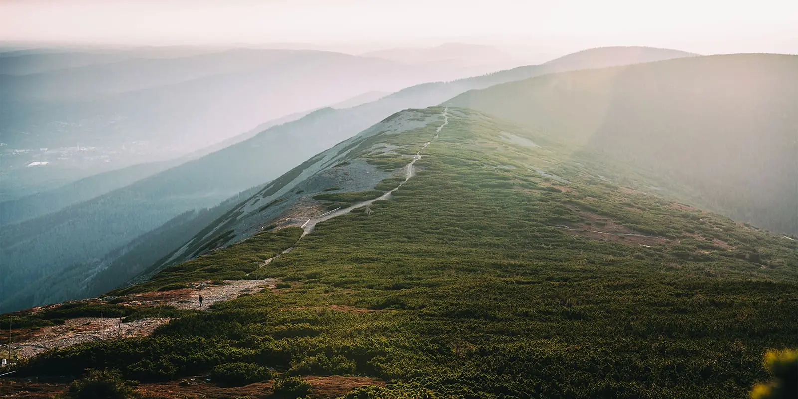
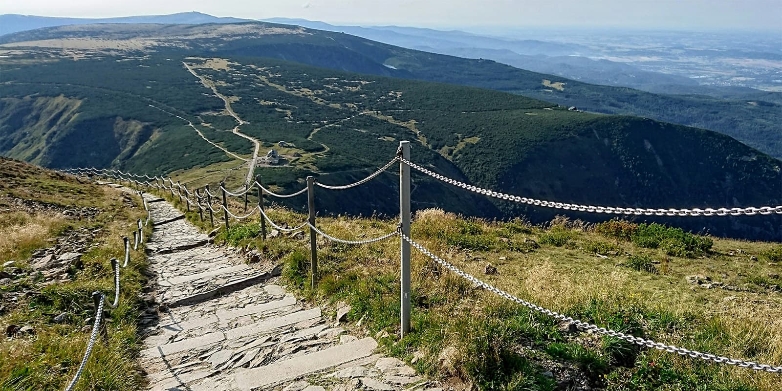
The Jizerské hory segment starts in the village of Chrastava, you will pass through beautiful forest paths and see the mountain village of Jizerka. This stage is leading you to the Krkonoše main crest. Here, you’ll come across the communist-era architecture of the Labská bouda chalet. Continuing, you follow the Cesta česko-polského přátelství (Polish-Czech Friendship Trail), to Sněžka mountain (the highest peak of the trail). To fully enjoy Krkonoše without the crowds, avoid weekends and holidays.

You’ll walk along along the Polish border to Adršpašsko-Teplické skály (rock formations), and get to play in them thoroughly. The rock formations are complemented by the Broumovská vrchovina (highlands) that are also in this section. You won’t encounter many other hikers here. The next section, Orlické hory, is great for World War II buffs, with bunkers, exhibitions, and artifacts that will leave a mark. Climbing up to the main crest, you’ll hike through meadows and villages nestled in the foothills. The crest is covered in woodlands, so you’ll want to climb up one of the local lookout towers to have a nice vista point.

Meander through the nature reserve of Králický Sněžník, alongside the Hrubý Jeseník and Nízký Jeseník ranges. Some of the major highlights in these ranges are the Králický Sněžník summit, Jeseník town, and the crest trail leading to Praděd mountain. Over 140 kilometers, this section has beautiful landscapes, solidifying its status as a main attraction along the thru-hike.

Lastly, connect the picturesque Nízký Jeseník and Beskydy ranges. This section of the Czech Trail is a great chance to recharge before the final leg. While crossing Vítkovická vrchovina (highlands) partway, it’s the only flat stretch in the entire hike, so you’ll be able to rest your legs before you begin climbing again.

Finally, you’ll finish with some tough ascents and descents, topped off by climbs to Radhošť, Smrk, and Lysá hora summits. They all pop above the woodlands you hike through, showing you the larger picture of where you’ve come from. You’ll finish the northern section at the easternmost point of Czechia.

Once you hit the eastern border, you can begin the southern section of the hike. You’ll continue in the Beskydy mountain range, which will lead into the Javorníky mountains. This section has an elevation gain of 3500 meters. After a few days, you’ll reach Moravia.

Next, the trail runs parallel to the Javorníky region. This section runs close to the Slovak border and joins the Cesta hrdinů SNP (Slovak National Uprising Heroes Trail) near Vyškovec. You’ll walk 93 kilometers through remote areas, with plenty of climbs and descents.

Next, you’ll dip into the Dolnomoravský úval valley. Near Sudoměřice, the trail shifts from the mountains to the lowlands after about 30 kilometers when you enter the Pálava nature reserve.

The good news about saying goodbye to the mountains is that you’re now entering the region around the River Dyje, which is the local wine region! The hiking is through hills and you’ll pass through Znojmo, where you’ll see Podyjí National Park, a highlight of the Southern route.

You’ll continue hiking in the hills for around 200 kilometers until you reach the central Šumava Mountains. If you need it, the Šumava National Park also has emergency overnight campsites (EOCs) for resting. You will see three stunning glacial lakes of the Šumava Mountains: Lake Laka, Black Lake, and Devil’s Lake. The final part of this section has the 1293-meter peak of Ostrý. Beyond Ostrý, the trail leads to Čerchov Peak and the Český les Natural Reserve.

Finally, you end on the Český les section. It runs along the border through quiet forests, where you’ll encounter long, straight stretches, but with firm surfaces for easy walking. After 2000 kilometers of hiking, it’ll feel like you’re running this section as you finish in the west, where you began a few months before.

Stages

Northern Section

  • Krásná – Klínovec, 110 km | 68 mi (4-5 days)
  • Krušné hory, 162 km | 101 mi (6 days)
  • České Švýcarsko and Lužické hory, 107 km | 66.5 mi (3-4 days)
  • Alternate stage – northernmost point, 80 km | 50 mi (3 days)
  • Jizerské hory and Krkonoše, 107 km | 66.5 mi (4-5 days)
  • Adršpach and Broumovsko, 98 km | 61 mi (4 days)
  • Orlické hory, 92 km | 57 mi (3-4 days)
  • Jeseníky, 143 km | 89 mi (5-7 days)
  • Alternate stage – Rychlebské hory, 37 km | 23 mi (2 days)
  • Podbeskydí, 58 km | 36 mi (2 days)
  • Beskydy, 105 km | 65 mi (4 days)

Southern Section

  • Beskydy and Javorníky, 115 km | 71.5 mi (4-5 days)
  • Bílé Karpaty, 94 km | 58.5 mi (3-4 days)
  • Dolnomoravský úval, 117 km | 73 mi (4-5 days)
  • Podyjí, 110 km | 68 mi (2-3 days)
  • Česká Kanada, 89 km | 55 mi (3 days)
  • Novohradké hory, 134 km | 83 mi (5-6 days)
  • Jižní Šumava, 80 km | 50 mi (2-3 days)
  • Šumava, 105 km | 65 mi (3-4 days)
  • Západní Šumava, 116 km | 72 mi (4-5 days)
  • Český les, 131 km | 81.5 mi (5-6 days)

Accommodations

Camping, shelters, and huts are available throughout the Czech Trail. However, it is illegal to wild camp in the Czech Republic. Here is a list of campsites and shelters.

​​Camping is completely forbidden in national parks – NP České Švýcarsko, NP Krkonoše, NP Podyjí, NP Šumava. The exception is the Šumava National Park, where you can spend the night in the emergency overnight campsites.

Best time of the year

The best time to trek the Czech Trail is May to September, when there will be no snow on the peaks and the weather will be the most stable. If you want to have a crowd-free trek, you can also go in spring or autumn. But people also go for the winter option, when the landscape is completely different and most of the accommodations are also open for the winter season. However, you should have the right equipment for autumn and winter.

Safety & Gear

In case of an emergency, the partner app Záchranka will make it easier for you to call the mountain service or contact rescue units.

There isn’t phone signal everywhere, so download offline maps just in case, or use the offline version of the FarOut app.

As far as gear goes, you will adapt your gear to the season. You can find our thru-hiking packing list here.

You’ll also need to carry cash since you won’t be able to always rely on credit cards.

Finally, please respect the principles of Leave No Trace.

Good to know

Camping in national parks is monitored by park rangers with cameras, so it is not a good idea to take risks. Always use designated places in these areas – be that campsites or accommodations.

In summer, you can count on a lot of tourists in popular areas: Krkonoše, Beskydy, Jizerské hory, and Šumava. These are the most popular areas for summer holidays and day trips.

Each stage of the Czech Trail is accompanied by a detailed itinerary (available on the web) in which you will find accommodation, trail angels, water sources, mileage, and supply options. Currently, the itineraries on the official website are not available in English. However, you can also find all the latest information (in English) in the FarOut app.

If you want to use Trail Angels, let them know in advance. You can find contact details for them in the itineraries. Don’t be afraid to use their help, there are some great people working with the trail organization.

The actual water resources are recorded in the itineraries for each stage and in the FarOut app

The Czech Trail Facebook group is a great place to ask questions and get advice as you plan your trek.

There is an official trail journal where you can record your milestones and stamps along the way on the trail. The journal is available in the eShop (only in Czech).

You can also ride the whole trail by bike, and there is a special map for the bike version.

route
Circuit
Highest point
Sněžka 1603m (5259 ft)

Want to submit a trail or make this page more complete?

Join the community!

Login or create a FREE account 😊

With an account you can:

Download GPX files

Pin trails to your wishlist

Mark trails as hiked by you

Rate hiking trails

Comment on trails, blogs and gear reviews

Happy trails!
Login

Don't have an account yet? Register here