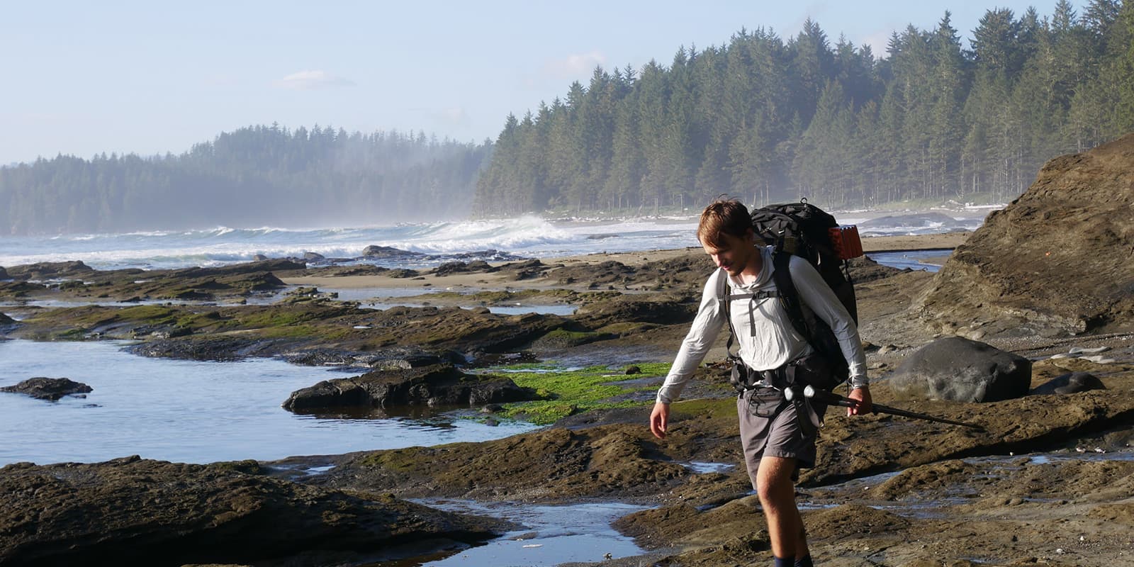
The trail splits naturally into 5 sections, with campsites or town accommodation at the end of each section, although it’s possible to complete the walk quicker (I walked it in 4 days, and wild camped throughout) or take your time if you’re exploring the surrounding fells. It is mostly well signposted with green and yellow arrow waymarkers, though these are difficult to spot in the farmland and urban sections. There is a train station at both the start and end, making this trail straightforward to access.
There are plenty of shops where you can stock up in the small town of Ulverston, and then the trail eases you in with miles of charming rural farmland, following dry stone walls and fern-lined grassy paths, the distant fells beckoning you closer. Most of the first day will be spent navigating fields as the waymarkers are scarce, but then the first tarn appears, aptly named Beacon Tarn; an oasis on a hot day.
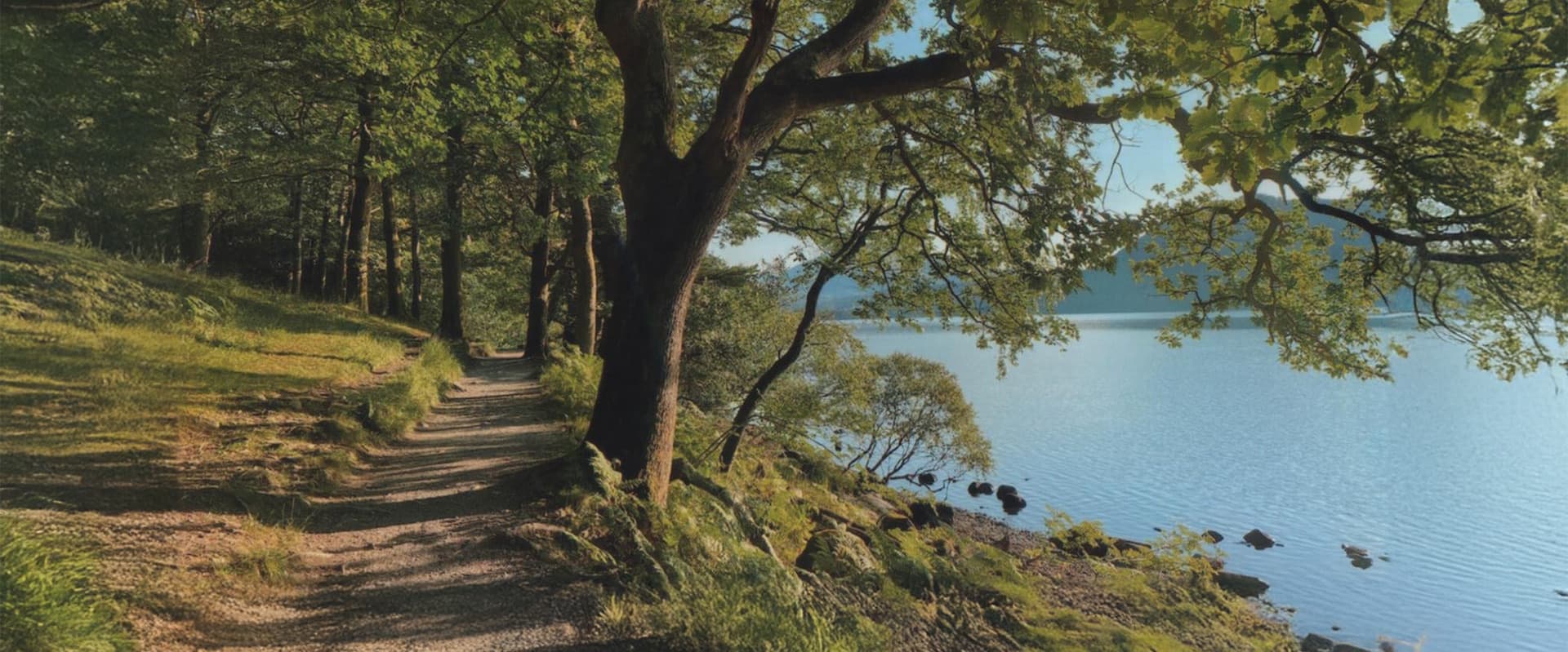
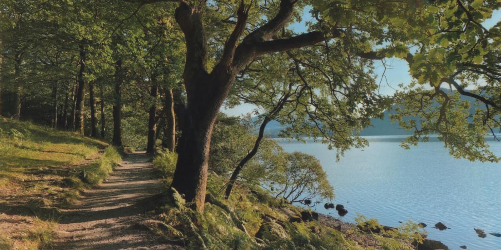
From here it’s a clear grassy path through the ferns for a few more miles, then you drop down to Coniston Water, where the Cumbria Way has the pleasure of following its shoreline under a canopy of trees. The campsites here are popular and will be busy in peak season. Coniston itself is a small town with amenities. The town is a natural stopping point, but if you wish to carry on, Tarn Hows Wood and Tarn Hows (small lake) a couple of miles further, offer potential wild camping opportunities if you pitch late and leave early.
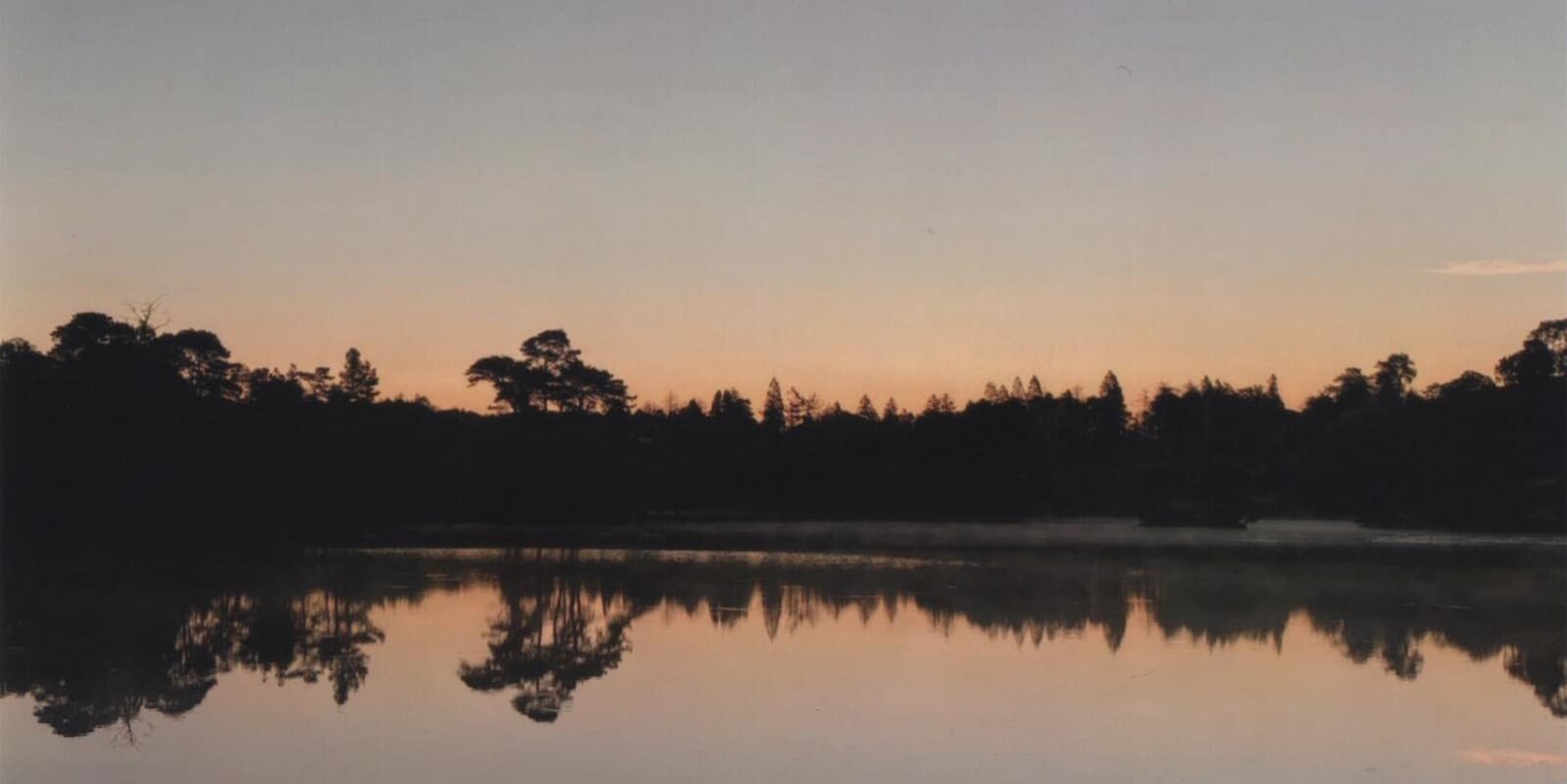
From Coniston, the trail meanders through a small woodland, and then you reach your next body of water, Tarn Hows. This is a peaceful spot, and if you’re there early in the right weather conditions, the mist hovering above the water is magical. After the tarn, it’s an easy gravel path through woodlands, passing Colwith Force waterfall and a few small farms, before reaching Elter Water, the Lake District’s smallest lake. The village of Elterwater offers some amenities, and then it’s a scenic walk following the river to Langdale, with fells all around. There are a few campsites around the Langdale area and a couple of pubs, though it is a remote area. If you’ve still got energy, this area is great for sidequests, exploring the Langdale Pikes, Dungeon Ghyll Force (waterfall), and Stickle Tarn.
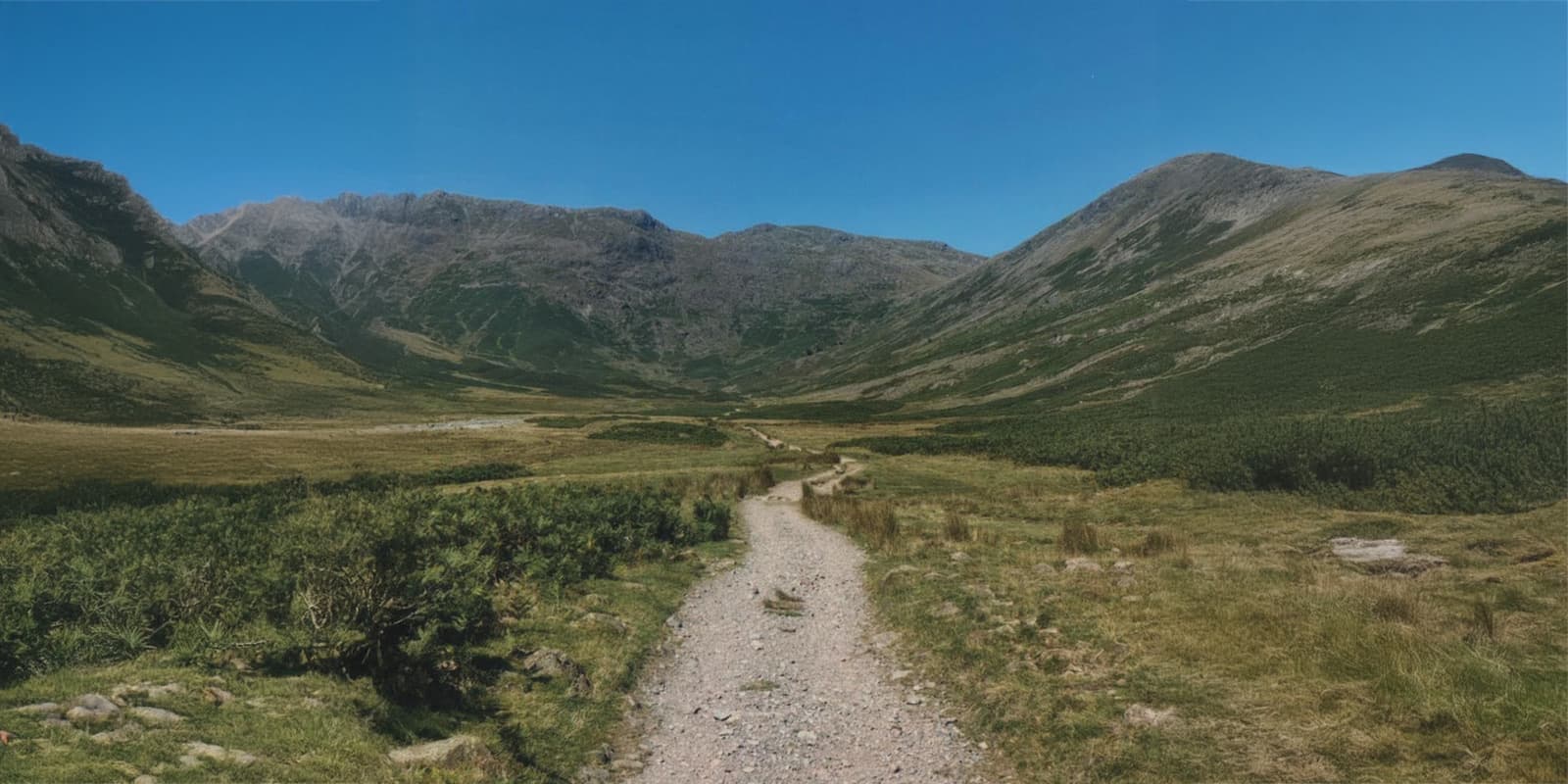
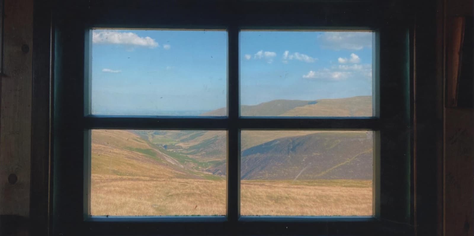
From here, stage three is probably the most scenic section of the Cumbria Way, passing through two epic but remote valleys: Mickledon and Langstrath. After Langdale, the trail is a rocky, gravel path through the valley, following Mickledon Beck, which offers a couple of beautiful dipping spots in its crystal clear water. There are no amenities for a while and the valley offers little protection from the elements. There’s a big climb up Stake Gill but you’re rewarded with an incredible vista on the other side, overlooking the next valley. You’re following the small Langstrath Beck through this valley, and it’s easier to follow if you don’t cross the river (keep it on your left). Soon, you’ll find yourself at the famous Blackmoss Pot, a very popular wild swimming area with clear water and rocks to jump from. Pools and swimming spots continue to the small village of Stonethwaite, where you’ll find an excellent pub. If you’re having a shorter day, I highly recommend Chapel Farm Campsite just around the corner.


