About the Chemin des Cols Alpins

Alps
country
Switzerland
length
45 km(28 mi)
Type of trail
Long-distance, Hut to hut
difficulty

Difficulty is highly personal. Be aware of the weather conditions as bad weather turns easier trails in difficult trails especially in the mountains.

Difficult
accommodation

Lodging means a mix of hotels, hostels or AirBnB’s.

Lodging, Mountain huts
Elevation gain
3651 m(11978 ft)
terrain
Mountains
remoteness
Most of the time
Show more

The Chemin des Cols Alpins is an alpine pass trail that brings together many of the most beautiful and impressive passes in Graubünden and the Valais Alps on a single continuous route. The result is a challenging but also exciting alpine touring route of 43 stages. From the high plateau of the Greina to the landscapes of passes and lakes at the foot of the Dents du Midi, it is only a succession of peaks.

Not all the stages can be covered in one go, but it is possible to do them section by section. This is possible because a big advantage of mountain passes is precisely the fact that one can start or stop in every valley, between two passes. 3 stages out of the total 43 cross the Trient Valley in Wallis, which are listed here.

Elmar profile picture
Editor

Elmar Teegelbeckers

Passionate hiker Elmar spends months of his time on the trail. He’s usually on the lookout for hidden gems in one of his favourite countries such as Slovenia, Switzerland and Japan. He founded hiking-trails.com in need for a community and detailed information about the trails. Before this, he worked for the Alpine asscociation in the Netherlands[ (NKBV) but lost his heart to the trails.

Not long ago, Elmar published the book (in Dutch) Hiking Trails – best long-distance trails in Europe. With this book, website and socials, he hopes to inspire and shape an inclusive community for hikers all over world. No matter your speed, experience or level, you can get out there to enjoy the trails and connect with the heartwarming hiking community. Life is so much better outside and he hopes to inspire hikers to take their first, or next, step on the trail.

You can reach Elmar at info@hiking-trails.com.

View profile

The Trail

You will begin the first stage of this section hike in Champex, from which you’ll hike to Trient. This one-day stage also overlaps with the Tour du Mont Blanc. After the Durnand Valley, a steep climb will take you to the Bovine meadow. From here, you’ll enjoy one of the best views of the Rhône Valley and Martigny.

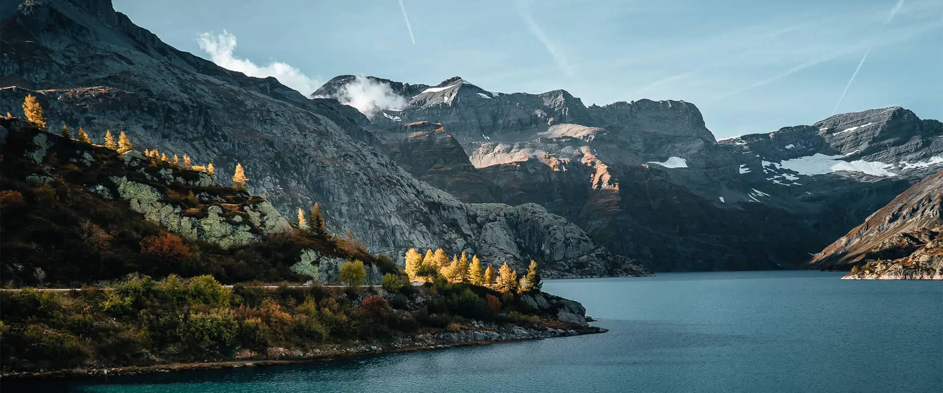
From the village of Trient, the route, which requires a good physical condition, climbs up to the Catogne mountain pasture. Descending from there, you’ll continue towards the narrow valley of the Châtelard. Next to the steepest funicular railway in the world, the path climbs up to Lake Émosson, from where you’ll enjoy a unique view of the Mont Blanc massif.

Finally, this unofficial “Haute Route” in the Lower Valais leads from Lake Emosson to Lake Salanfe via two passes, at an altitude of 1,900 to 2,500 meters. Along the way, there is a varied alternation of water, rock, flowers, and/or snow.

Stages

This trail description is concerned with the three stages of the Chemin des Cols Alpins that overlap with the Vallis region. These are the 36th, 37th, and 38th stages of the full trail.

3-day itinerary for the Chemin des Cols Alpins

Stage 1:

Champex – Trient, 16 km | 9.9 mi

Stage 2:

Trient – Lac d’Emosson, 15 km | 9.3 mi

Stage 3:

Lac d’Emosson – Cabane de Salanfe, 14 km | 8.7 mi

Accommodations

There will be many options for where to sleep, as you’ll descend into valleys each evening. Below are a few recommendations.

If you choose to sleep in a mountain hut along the way, be sure to book it far in advance. They tend to fill up early in the season, especially in popular regions like this.

Accommodation per stage

Stage 1:

Refuge le Peuty

Best time of the year

The best time of year to hike the Chemin des Cols Alpins is from June to September. This is when you’ll see the best views over several passes. The tourism period runs from July to August, so if you want to go in late summer or early fall, you’ll see fewer people and observe the fall colors. However, temperatures can drop quickly in the mountains as this hike crosses passes at an altitude of more than 2000 meters.

If you’re unsure what to do or when to go, try reaching out to the tourism board or alberges for their advice. They know the region best and will be able to advise you on the specific year’s seasons and options.

Safety & Gear

It is forbidden to bivouac in most areas of this hike. The tourism board asks you to inform yourself on this subject before considering bivouacking during your trip. Look into the reasons for this by reading the Leave No Trace principles.

In addition, it is important to take the necessary precautions because this path passes through many mountainous and isolated areas at high altitudes. You’ll need to take the appropriate equipment in case of bad weather. This means not only clothing, but downloading the GPX to your device, taking a first aid kit, and always having extra water just in case.

Difficulty

The Chemin des Cols Alpins is known as a difficult hike, and these three sections are the same. The difference in altitude is a major difficulty if you’re a new hiker. The average elevation per day is +1300m / -1,300m. Therefore, the trail is recommended for hikers with a medium to advanced level and a good physical condition. This will be necessary to comfortably link the different stages of the hike.

To train for the Chemin des Cols Alpins, try taking daily walks or hikes in your area. To train balance, walk on the side of the path where the ground is more uneven. To train strength, try taking a weighted (full) backpack with you, or using the stairmaster at the gym. To train mental endurance, try taking these hikes in bad weather. Preparing for a trail like this will make the experience all the more enjoyable.

Good to know

This section of the Alpine Pass Trail has various attractions to discover in the Trient Valley. Among them are:

  • VerticAlp Emosson: This is a good option if you want to reduce your time climbing in altitude while still getting to enjoy the views.
  • Emosson Dam: One of the highlights of the area, the dam has views of the surrounding mountains. A great place to take a break!
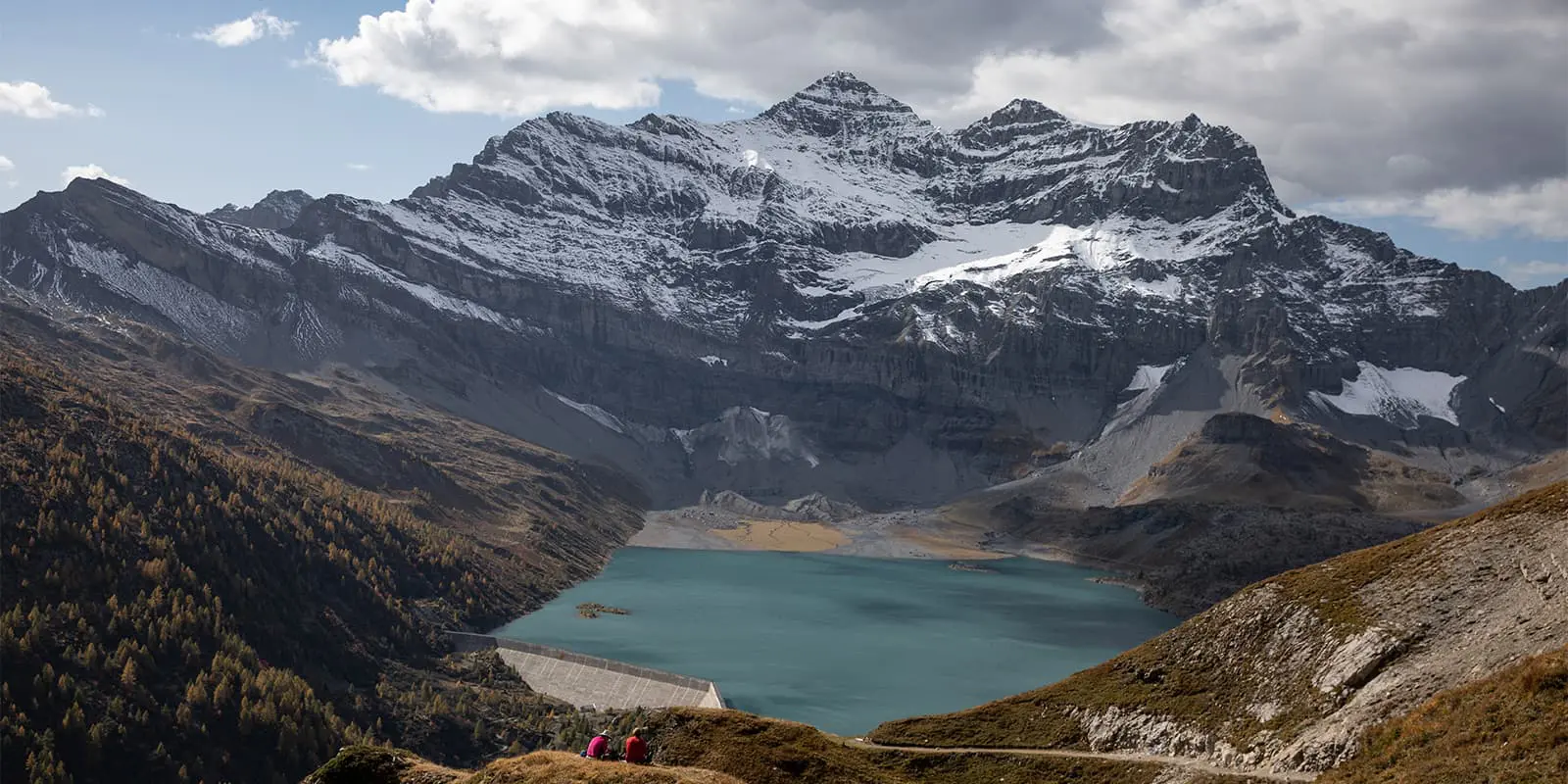
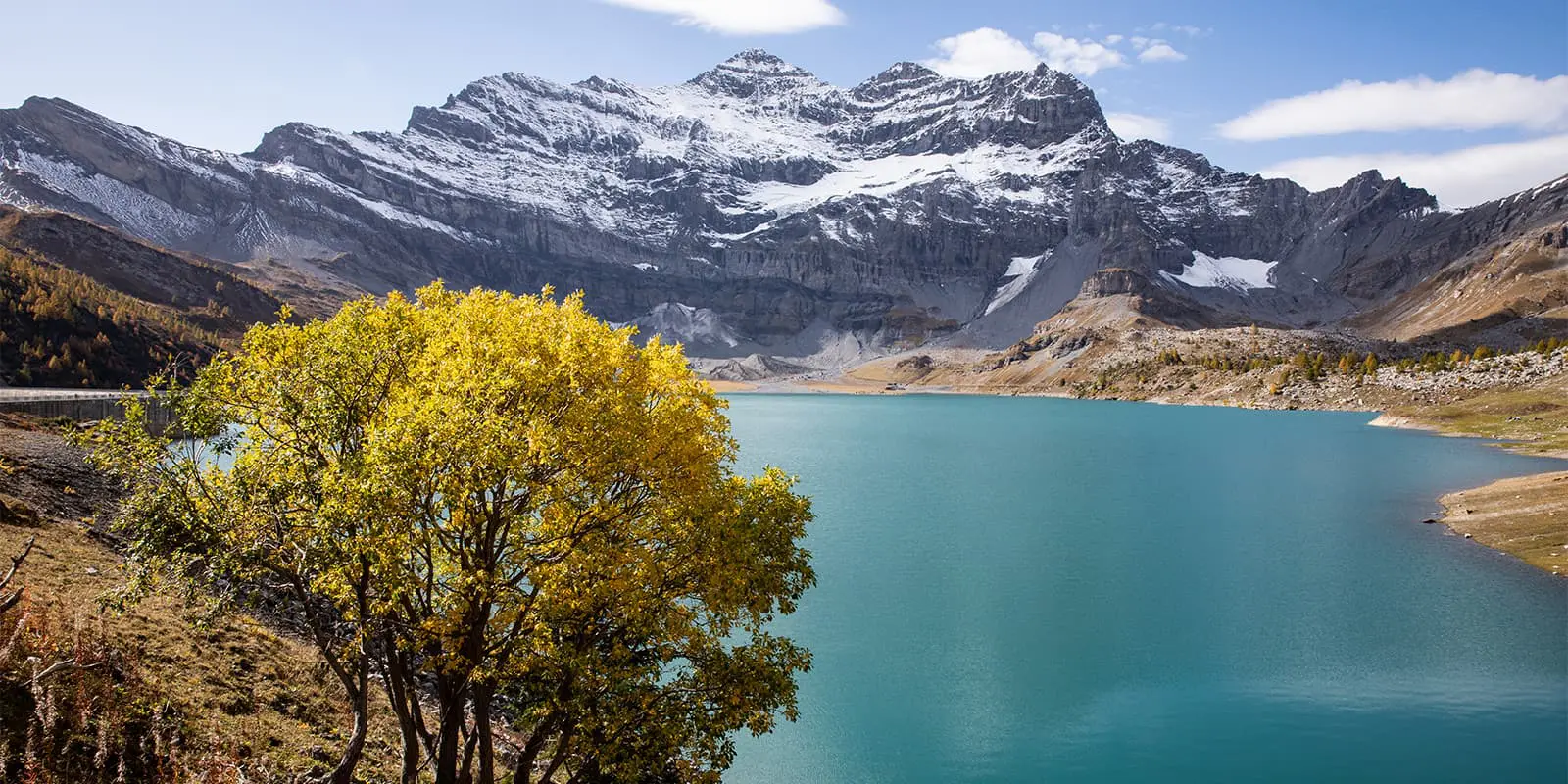
  • Salanfe Lake and Dam: Located in a natural cirque, this artificial lake is surrounded by impressive peaks such as the Dents du Midi.
  • Dinosaur tracks: Near the Emosson dam, you can discover well-preserved dinosaur footprints, which will add a prehistoric touch to your hike.
route
point-to-point
highest point
2.482m (8.143 ft)

Want to submit a trail or make this page more complete?

Always read the disclaimer

Terms of Use: important to all visitors on this website. We strive to publish high quality content and information on this website. However it’s always possible that we’re missing out on some crucial information. In spite of the fact that this route, associated GPS track (GPX and maps) were prepared under diligent research by the specified contributor and/or contributors, the accuracy of such and judgement of the author is not guaranteed. Therefore, hiking-trails.com and contributors are in no way liable for personal injury, damage to personal property, or any other such situation that might happen to individuals hiking or following this route. Should you choose to hike this trail, this is always at your own risk. Check out our guidelines for safety hiking and Leave No Trace principles at the hiking 101 page.

Download GPX

Join the community!

Login or create a FREE account 😊

With an account you can:

Download GPX files

Pin trails to your wishlist

Mark trails as hiked by you

Rate hiking trails

Comment on trails, blogs and gear reviews

Happy trails!
Login

Don't have an account yet? Register here