About the Carros de Foc

Pyrenees
country
Spain
length
73 km(45 mi)
Type of trail
Hut to hut, Long-distance
difficulty

Difficulty is highly personal. Be aware of the weather conditions as bad weather turns easier trails in difficult trails especially in the mountains.

Strenuous
accommodation

Lodging means a mix of hotels, hostels or AirBnB’s.

Mountain huts
Elevation gain
3800 m(12467 ft)
terrain
Mountains
remoteness
Some of the time
Show more

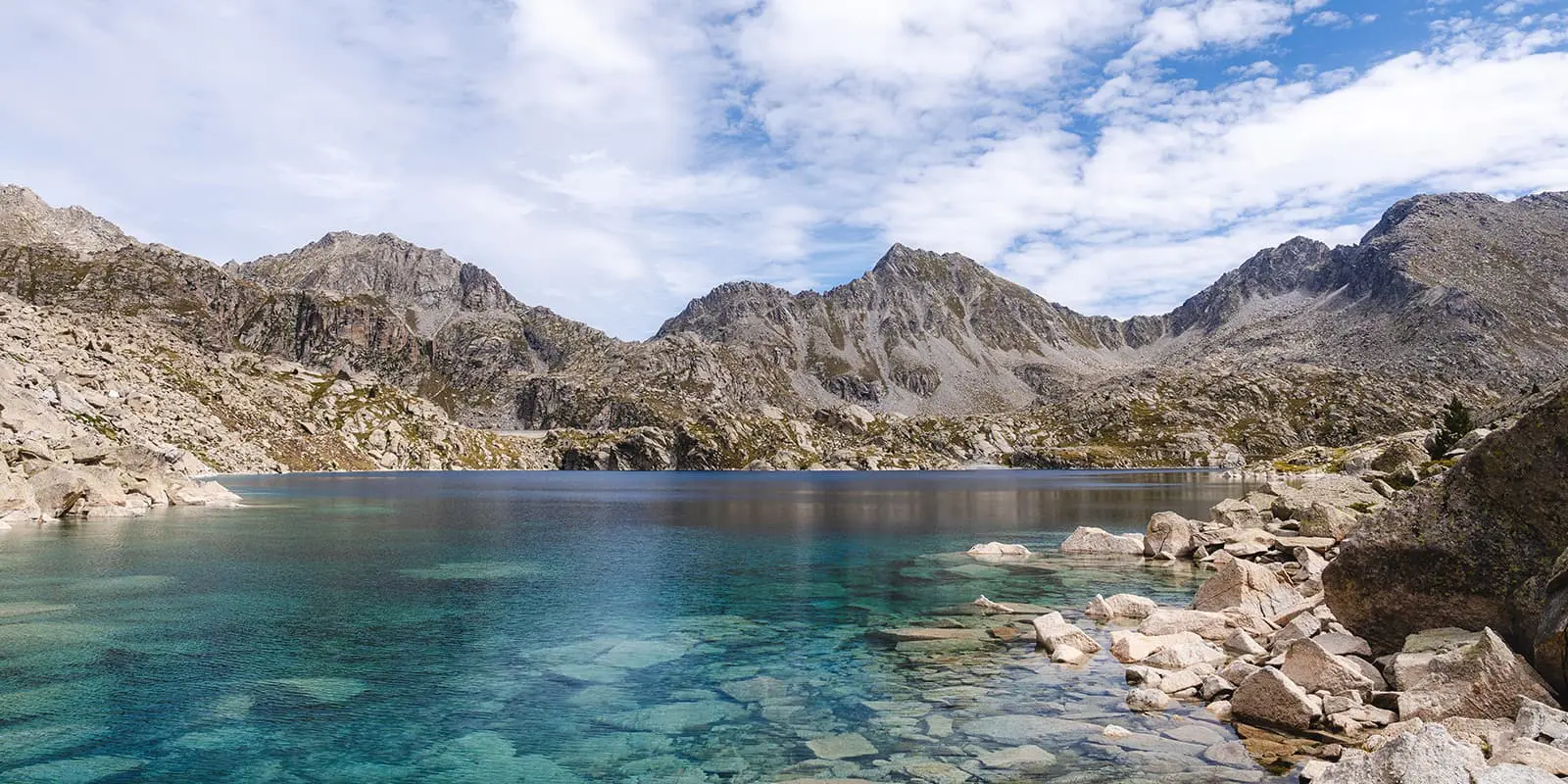
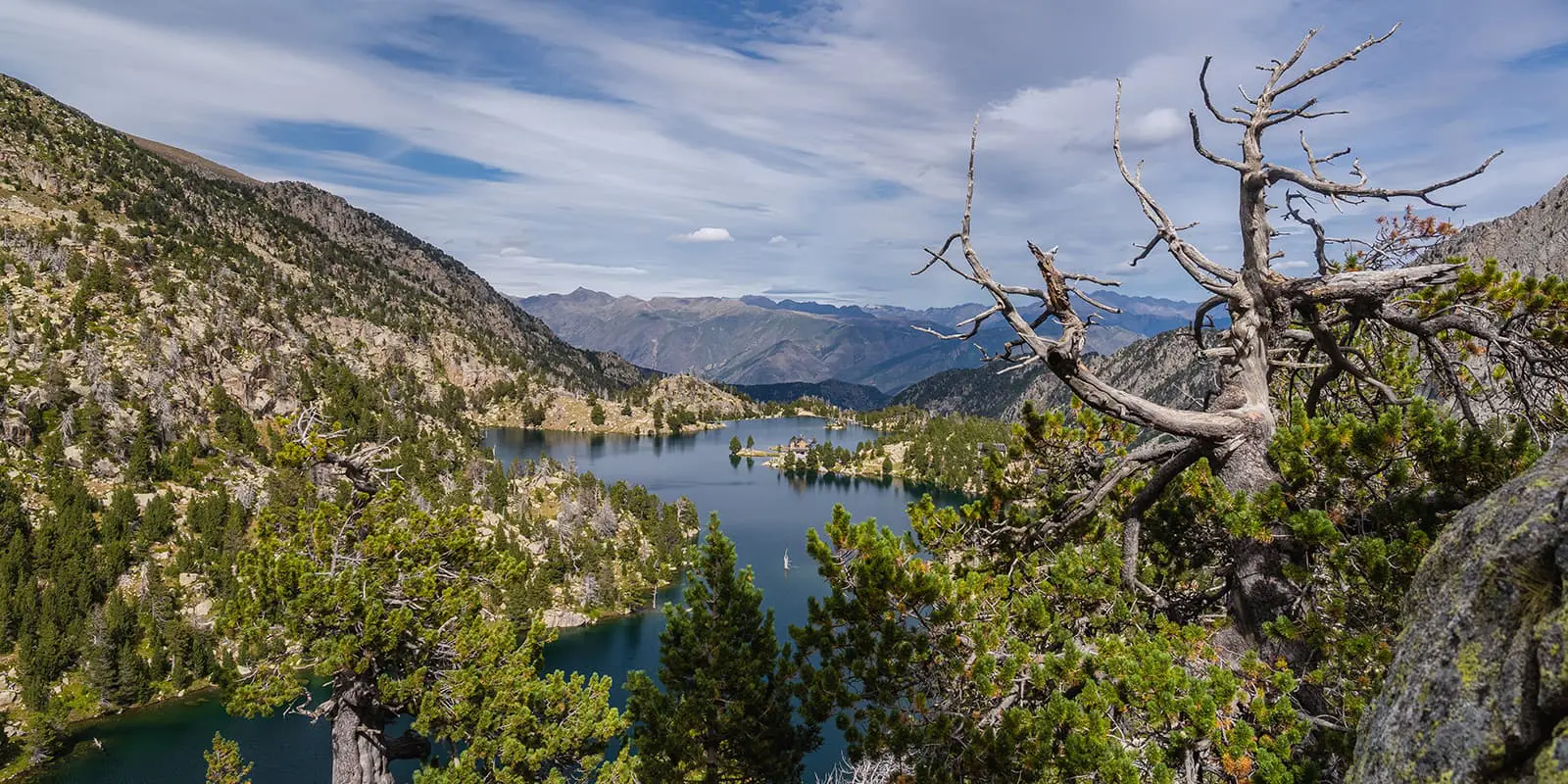
The Carros de Foc is a high-altitude hut-to-hut hike in the Aigüestortes i Estany de Sant Maurici National Park in Spain. The route connects nine mountain refuges in the Catalan Pyrenees and has become a popular challenge among hikers because of its stunning alpine landscapes and rugged terrain. The idea for Carros de Foc started in the 1980s when the refuge keepers connected their huts with this trail and now many hikers come from all over the world are hiking this trail.

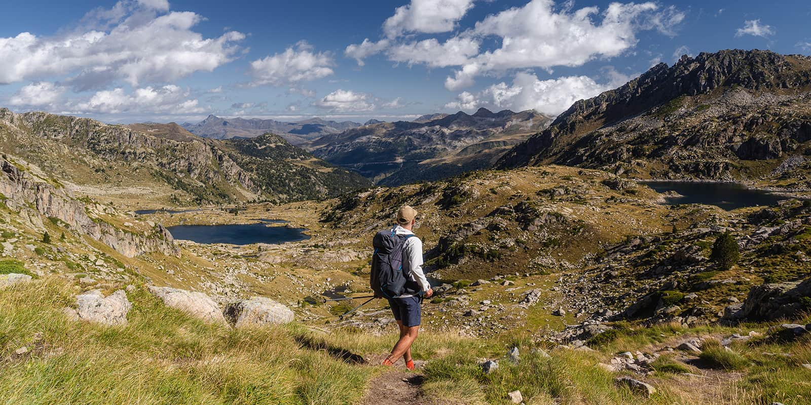
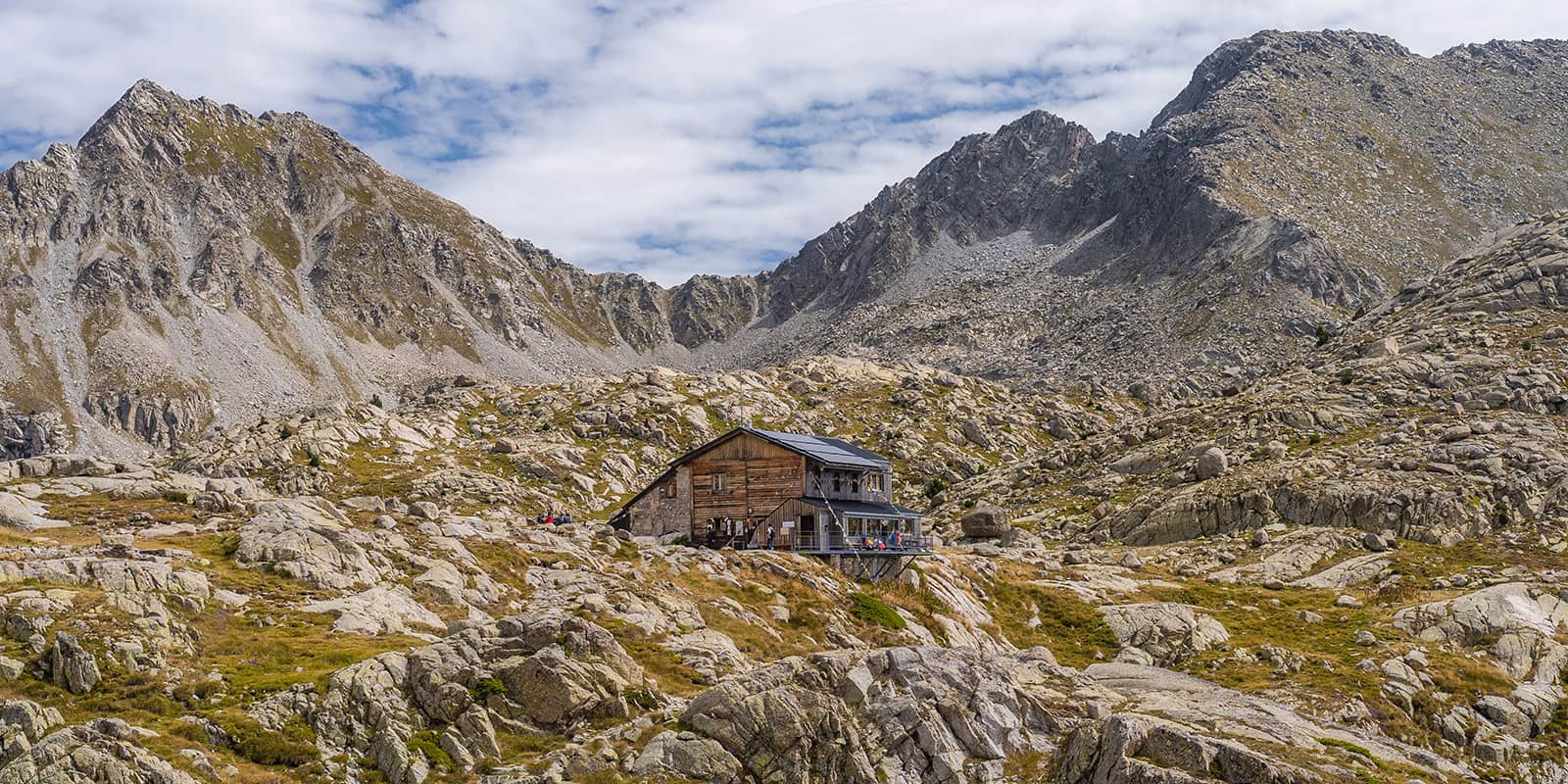
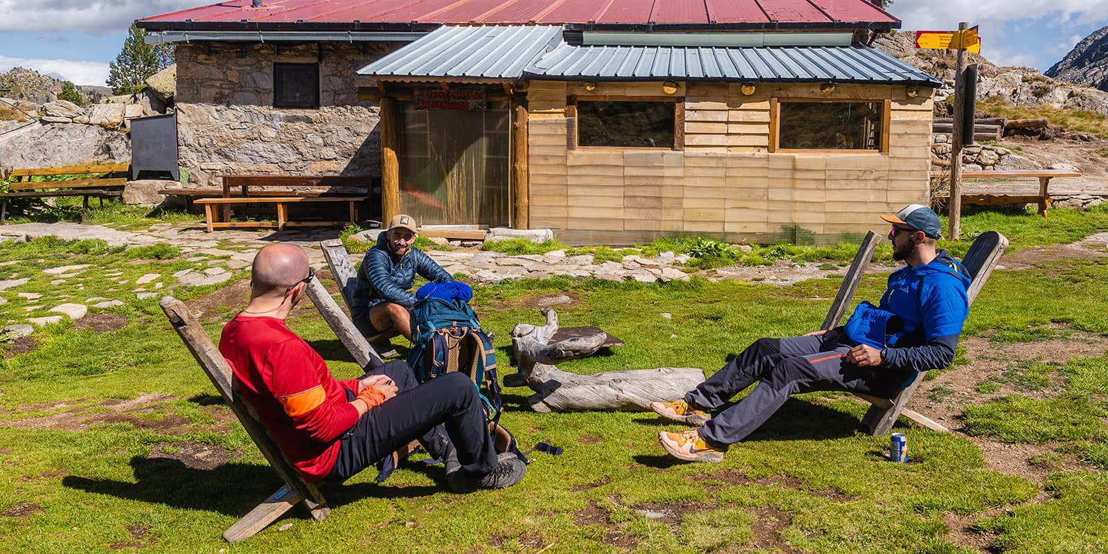
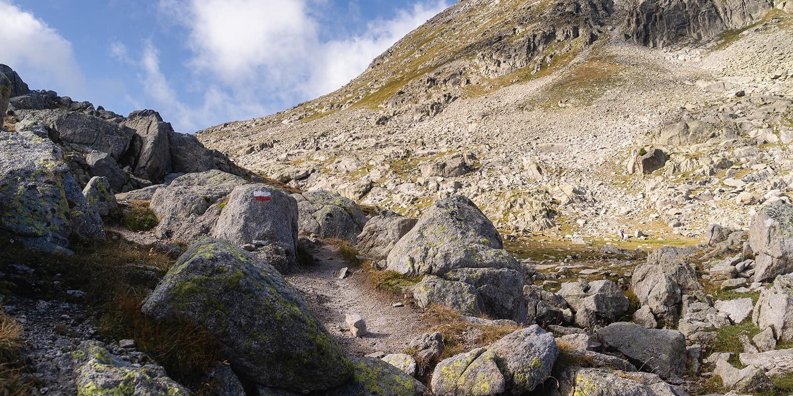
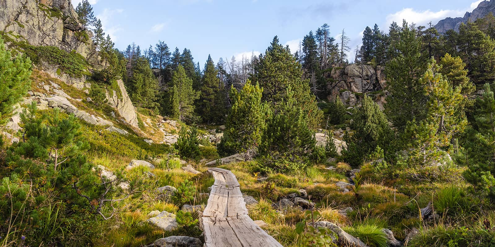
Special about the Carros de Foc is that you can start from every mountain hut. Simply hike up from the valley to the hut and start the trail. This trail is graded as difficult because of her rocky terrain and more technical paths. The waymarking is not always very clear so make sure you bring a map or download the GPX on your mobile phone.

Elmar profile picture
Editor

Elmar Teegelbeckers

Passionate hiker Elmar spends months of his time on the trail. He’s usually on the lookout for hidden gems in one of his favourite countries such as Slovenia, Switzerland and Japan. He founded hiking-trails.com in need for a community and detailed information about the trails. Before this, he worked for the Alpine asscociation in the Netherlands[ (NKBV) but lost his heart to the trails.

Not long ago, Elmar published the book (in Dutch) Hiking Trails – best long-distance trails in Europe. With this book, website and socials, he hopes to inspire and shape an inclusive community for hikers all over world. No matter your speed, experience or level, you can get out there to enjoy the trails and connect with the heartwarming hiking community. Life is so much better outside and he hopes to inspire hikers to take their first, or next, step on the trail.

You can reach Elmar at info@hiking-trails.com.

View profile

The Trail

The easiest way to the Carros de Foc route is to start in the mountain town Espot. From there, you can reach the Ernest Mallafré refuge in only two hours and this is perfect to combine with a travel day. The next day you’ll ¨really¨ start on the Carros de Foc with a stage toward Colomers.

From Mallafré to Colomers on the Carros de Foc offers stunning alpine scenery, with It ascends through forests and passes pristine alpine lakes, leading to rugged, high-altitude terrain with panoramic views. The trail ends at Refugi de Colomers, near the breathtaking lake, surrounded by peaks.

The next stage from Colomers to Ventosa via Restanca is even stunning as well. It climbs and descends through rocky terrain, passing the Refugi Restanca for a perfect lunch break and a coffee before ascending steeply to Refugi Ventosa, a very cozy mountain hut with superb views on the lake.

On day three you’ll face the most difficult stage of the trail from Ventosa to Estany Llong. Starting with a short descend and then a steep ascent on alpine trails to the Coll de Contraix, a high-altitude mountain pass which is quite challenging. It’s incredibly beautiful with all the mountain views before descending into a valley with alpine meadows and streams. The trail ends at Refugi Estany Llong, a small mountain hut in the woods.

Sometimes a trail saves the very best for last. The hike from Estany Llong to Josep Maria Blanc begins with a gentle ascent before climbing towards the next col, offering panoramic views, before descending to Refugi Josep Maria Blanc. This is by far the most idyllic spot for a mountain hut you probably have ever seen. Set beside the alpine lakes and surrounded by the peaks and beautiful trees this mountain hut is pure magic.

The last stage is quite short with a short climb and then descent to Ernest Mallafré where you’ll complete the loop and Carros de Foc. Then you’ll only need to hike two hours to Espot where you can enjoy a nice lunch at one of the many good restaurants in town.

This is a traditional hut-to-hut hike and each segment of the trail offers different terrain, with lakes and mountain passes. Some stages involve steep alpine terrain with big boulders for the real mountain experience.

Stages

The Carros the Foc crosses 9 mountain huts so you’re really flexible where you can stay. This is the classic 5-day itinerary (don’t count the first stage beneath as a real hiking day) for this trail. You can easily adapt this hut-to-hut hike to your own preferences.

Classic Carros de Foc itinerary

Stage 1:

Espot – Refugi Ernest Mallafré, 8 km | 5 mi

Stage 2:

Refugi Ernest Mallafré – Refugi Colomers, 15 km | 9 mi

Stage 3:

Refugi Colomers – Refugi Ventosa, 13 km | 8 mi

Stage 4:

Refugi Ventosa – Refugi Estany Llong, 9 km | 6 mi

Stage 5:

Refugi Estany Llong – Refugi Josep Maria Blanc, 18 km | 11 mi

Stage 6:

Refugi Josep Maria Blanc – Refugi Ernest Mallafré – Espot, 16km | 10 mi

Accommodations

Accommodation along the Carros de Foc is in mountain huts, refugis in Catalan. These refuges offer meals, beds, and basic facilities. While camping is not permitted in the national park, staying at the refuges ensures a warm meal and shelter after a long day on the trail. You’ll still want to be sure to bring a sleeping bag or liner, as they’re mandatory at the huts and a headlamp for when they turn the generators off in the evenings. These huts are a great chance to meet with other like-minded trekkers and learn more about the culture of the region.

You can start the trek from any refuge, creating your own personalized route through the park. The refuges are scattered along different terrains, from forests to high-altitude lakes, so there’s no bad place to begin this classic hut-to-hut tour.

Overnights each stage

Stage 2:

Rifugi Colomers

Stage 3:

Rifugi Ventosa

Best time of the year

The best time to hike the Carros de Foc is from June to September when the weather is best in the high mountains, and the refuges are open. Snow can linger in high sections in early summer, so you may want to try for late summer for milder conditions and safer passage.

Even in the summer, the mountains will remain quite cool, so you’ll need to remember to bring layers, and if you’re hiking in the early summer, micro-spikes for any remaining snow. You may also encounter rain, as the weather can shift suddenly, so make sure to bring a cover for your pack and rain gear for yourself.

Safety & Gear

Hiking the Carros de Foc demands good physical fitness and proper preparation. The high-altitude terrain requires good hiking shoes with grip, weatherproof clothing, and sufficient food and water. Some sections may involve snow in early summer, so trekking poles and possibly microspikes could be useful. Because the trail passes through remote areas without any mobile service, hikers should be self-sufficient and carry a map and GPS. Booking your stay in the refugis in advance is essential, as the refuges can fill up quickly during peak season as this is a popular trek.

Good to know

The Carros de Foc is not specially marked throughout. In some areas, it overlaps with the GR11, where you’ll find red and white markings. Other sections use yellow-painted wooden posts, and in many areas, the path is identified by stone cairns left by previous hikers. Because of this, you’ll need to carry a map and have up-to-date, downloaded GPX files available on your mobile phone. Please note that you’ll not have many service on the most part on this trek.

Kind of trail
Circuit
Highest point
2745M (9005 FT)

Want to submit a trail or make this page more complete?

Comments

Be the first one to comment on this trail!

Reply to this trail

Your email address will not be published. Required fields are marked *

Reply to this trail

Log in to comment on this trail
Always read the disclaimer

Terms of Use: important to all visitors on this website. We strive to publish high quality content and information on this website. However it’s always possible that we’re missing out on some crucial information. In spite of the fact that this route, associated GPS track (GPX and maps) were prepared under diligent research by the specified contributor and/or contributors, the accuracy of such and judgement of the author is not guaranteed. Therefore, hiking-trails.com and contributors are in no way liable for personal injury, damage to personal property, or any other such situation that might happen to individuals hiking or following this route. Should you choose to hike this trail, this is always at your own risk. Check out our guidelines for safety hiking and Leave No Trace principles at the hiking 101 page.

Download GPX

Join the community!

Login or create a FREE account 😊

With an account you can:

Download GPX files

Pin trails to your wishlist

Mark trails as hiked by you

Rate hiking trails

Comment on trails, blogs and gear reviews

Happy trails!
Login

Don't have an account yet? Register here