About the Carpathian Trail

country
Poland
length
440 km(273 mi)
Type of trail
Long-distance
difficulty

Difficulty is highly personal. Be aware of the weather conditions as bad weather turns easier trails in difficult trails especially in the mountains.

Moderate
accommodation

Lodging means a mix of hotels, hostels or AirBnB’s.

Camping, Lodging, Mountain huts, Shelters
Elevation gain
147390 m(483563 ft)
terrain
Forest, Countryside, Hills, Mountains
remoteness
Most of the time
Show more

Poland calls the Carpathian Trail, or Szlak Karpacki, the “end of the world,” and you can definitely feel it at certain stages. The Szlak Karpacki is Poland’s third-longest trail. At least, in theory. In the field, the trail can easily become longer for different reasons; you might go off trail for a sleeping spot or water source, you might add some distance if you are interested in the historically dense area and want to learn and discover more, or you might lose track during bushwacking, adding some extra miles.

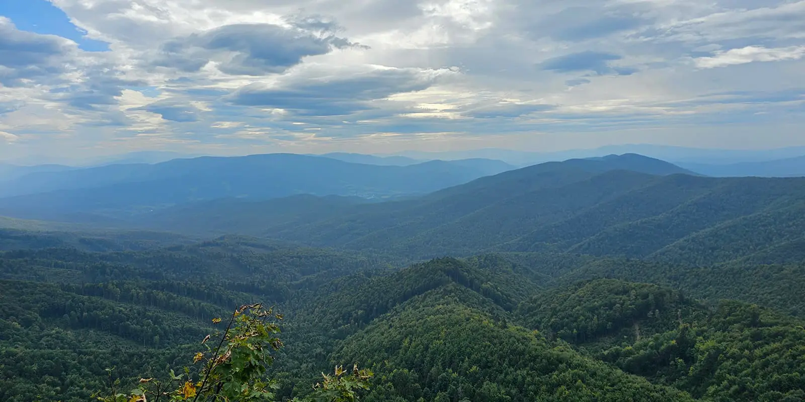
Yes, as a hidden gem, this trail takes the term quite literally. Since it is not popular (yet), you will counter some overgrown parts. Even in hot weather, you might think twice about wearing those shorts, especially on the first stages of the trail. If you fancy pure wilderness, wildlife, camping, flowers, solitude, and primeval forests…you might have found your next long-distance trail.

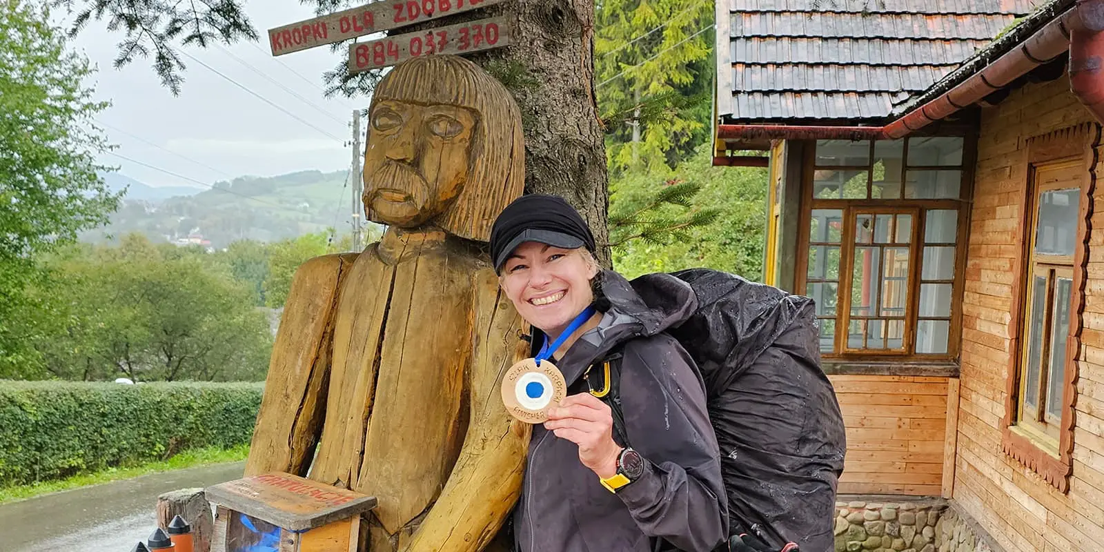
Women taking a selfie
Author

Shanna Bussink (Rayu)

Rayu is a solo hiker at heart. She has hiked in the wilds of Canada, embarked on freestyling through Montenegro and Latvia, and has also hit the beaten track of Kungsleden, Rota Vicentina and the Jordan Trail, among others. She is a certified hike & survival instructor, and also runs the all-round preparation process for the Fjällräven Classic Sweden and gives workshops. Be sure to check out her website: hikenbeginthier.nl.

View profile

The Trail

The Carpathian Trail begins outside of the city of Rzeszów at Przylasek, and you can get there by bus. You will almost directly walk into the first forest of many. Ensure you have the right trail. Since 2025, the first two stages have been changed due to too many asphalt roads, which used to be a trail back in the day. After 40 kilometers, the old trail and the new merge again, just a bit before the historic village of Dynów.

Once you cross the river San, which you’ll meet again and again on the trail, you’ll enter Pogórze Przemyskie Landscape Park. And these stages are wild. The trail is partly overgrown, with nettle and thorny bushes and lots of mud. You will also enjoy beautiful views around Huta Brzuska: some old churches, the impressive castle in Krasiczyn, and Mur Krzeczkowski, a sedimentary rock formed on the bottom of the former ocean about 100 million years ago. Around Przemysl, you’ll pass many fortifications, constructed by the Austro-Hungarian Empire in the mid-19th century.

Hiking through forests and fields with a little bit of climbing now and then, you will arrive in the 17th-century pilgrimage village of Kalwaria Pacławska. It offers an alternative to pilgrimages to Jerusalem with annual Way of the Cross processions. With 42 chapels, the basilica, the Mount of Olives, and an artificial Golgotha, the Way of the Cross of Jesus is reflected. Instead of Jerusalem, the Szlak Karpacki brings you close to the border with Ukraine and enters the Słonne Mountains (meaning ‘salt mountains’) with nine nature reserves and the Sanocko-Turczańskie mountain area. You can feel the history while hiking through desolate areas and abandoned villages.

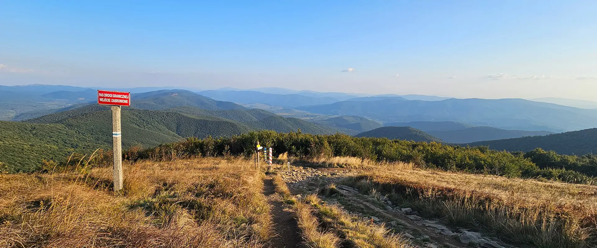
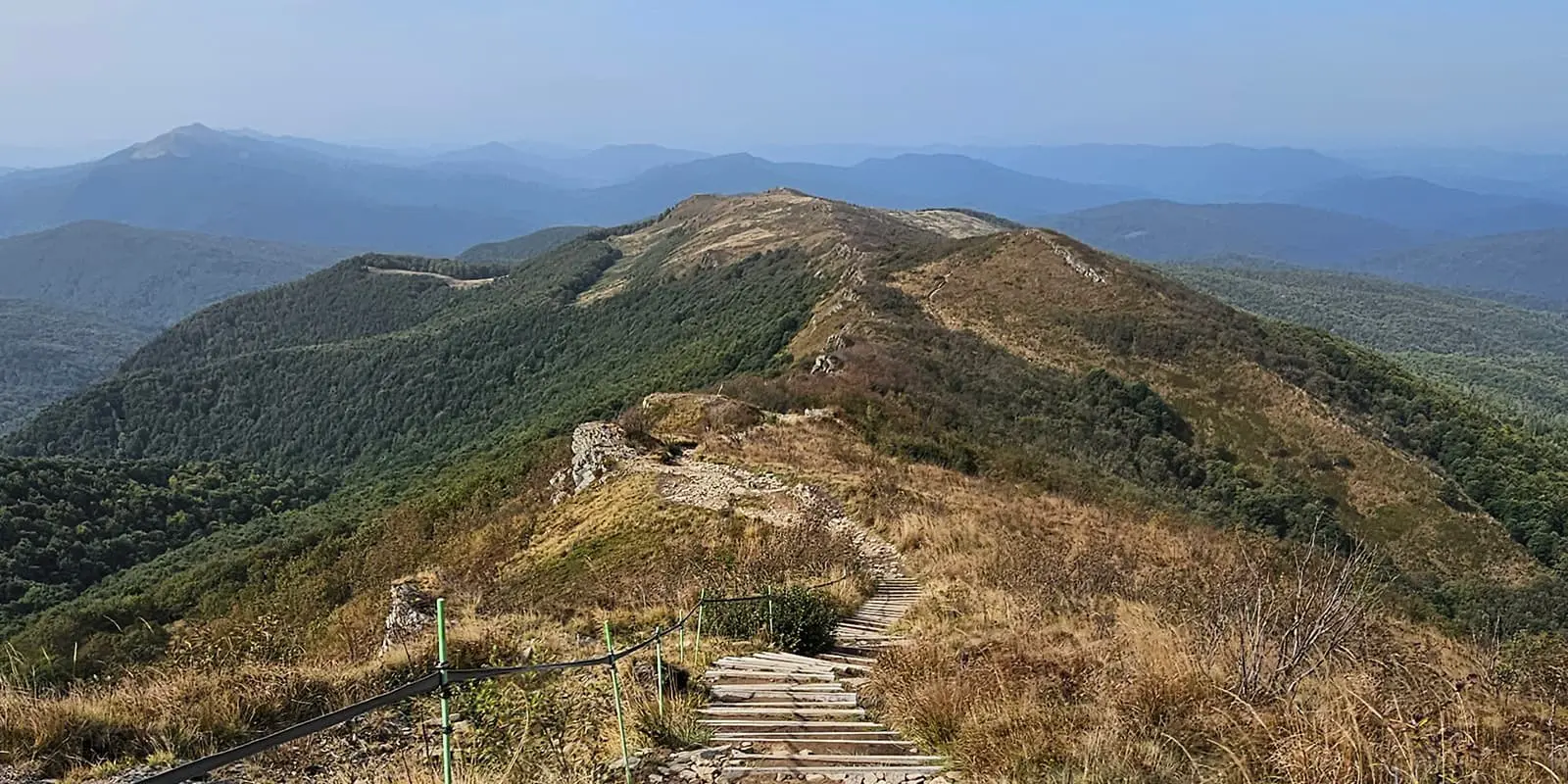
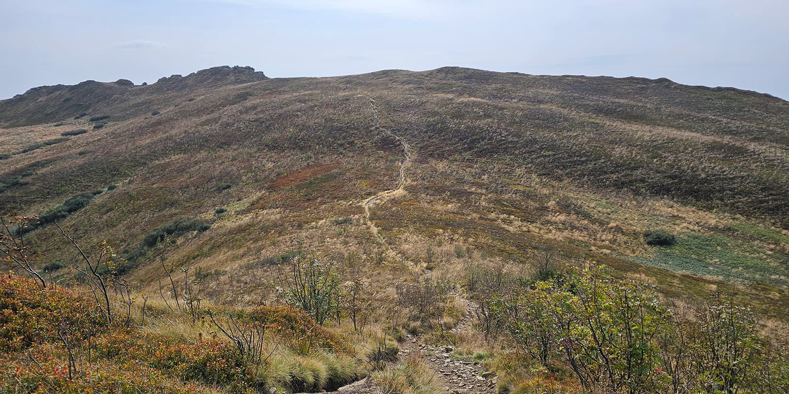
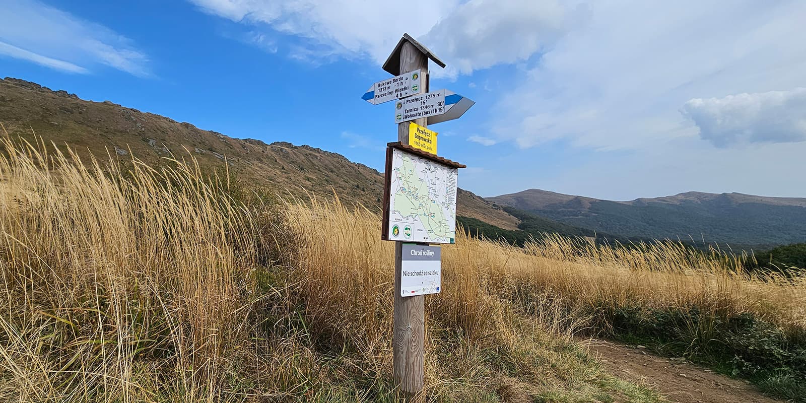
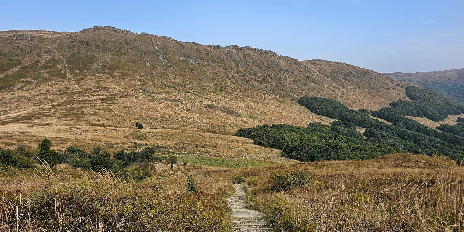
In the village of Ustrzyki Dolne, you can restock and recover a bit before heading to the southeast corner of Poland onto the trail’s highest parts. All the climbing will be worth it: this mystical mountain area, called Bieszczady, brings you amazing mountain meadows and impeccable views. Here you’ll be on the highest point of the trail; Bukowe Berdo (1311 m) or Tarnica (1346 m) if you go for the summit.

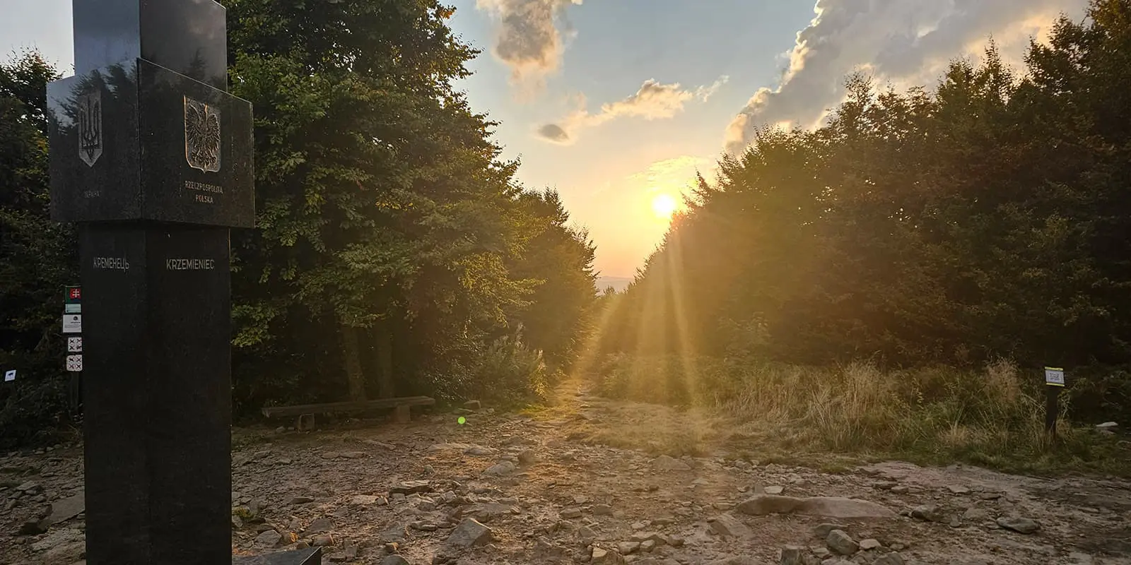
The Carpathian Trail then leads you down to Ustrzyki Górne, a small but popular village, as it is the gateway to Bieszczady’s most impressive area. Here you will cross the Main Beskid Trail, Poland’s longest trail. You’ll also be able to stock up before you go all the way up again to Krzemieniec (1221 m): the point where three countries meet: Poland, Ukraine, and Slovakia. It will be hard to get lost in the upcoming stages. If you miss a trail mark, the many border posts will show you the way, as you will be walking on the border for quite some time. Mostly in the forest, but you’ll find that the panoramic view of Riaba Skała compensates for the monotony. In this section, you will travel back in time to the historic Balnica railway station, which has had a train in operation since 1898, and in Łupków where you can stay overnight in Schronisko na Końcu Świata: ‘the hut at the end of the world.’

Now you will enter the last mountain area, Beskid Niski. These stages are filled with military history with many defenses from the late 18th century, still visible as pits and ditches along the route. There are also uninhabited villages from the Wisła operation and many cemeteries and monuments from the First World War.

On the last stages, you will pass the lake of Klimkówska, one of the artificial but charming reservoirs in the Carpathian Mountains. One more climb to the top of Chelm, a look over the landscape to say goodbye, and you’ll finish the Szlak Karpacki in the small village of Grybów.

Stages

There are no official stages on the Carpathian Trail, and you can choose to hike the other way around as well, but you could use this itinerary for inspiration.

22-day itinerary

Stage 1:

Rzeszów – Błażowa, 22 km | 13.7 mi

Stage 2:

Błażowa – Dynów, 21 km | 13 mi

Stage 3:

Dynów – Huta Brzuska, 27 km | 16.8 mi

Stage 4:

Huta Brzuska – Krasiczyn, 19 km | 12 mi

Stage 5:

Krasiczyn – Kalwaria Pacławska, 29 km | 18 mi

Stage 6:

Kalwaria Pacławska – Kwaszenina, 26 km | 16 mi

Stage 7:

Kwaszenina – Ustrzyki Dolne, 16.8 km | 10 mi

Stage 8:

Ustrzyki Dolne – Teleśnica Oszwarowa, 12.5 km | 7.5 mi

Stage 9:

Teleśnica Oszwarowa – Dwernik, 29 km | 18 mi

Stage 10:

Dwernik – Bereżki, 13.5 km | 8 mi

Stage 11:

Bereżki – Ustrzyki Górne, 24 km | 15 mi

Stage 12:

Ustrzyki Górne – Przełęcz pod Czerteżem, 17 km | 10.5 mi

Stage 13:

Przełęcz pod Czerteżem – Roztoki Górne, 19 km | 12 mi

Stage 14:

Roztoki Górne – Balnica, 16 km | 10 mi

Stage 15:

Balnica – Koniec Świata, 17 km | 10.5 mi

Stage 16:

Koniec Świata – Jasiel, 24 km | 15 mi

Stage 17:

Jasiel – Zydranowa, 26 km | 16 mi

Stage 18:

Zydranowa – Schron Baranie, 15.5 km | 9.5 mi

Stage 19:

Schron Baranie – Radocyna, 23 km | 14.5 mi

Stage 20:

Radocyna – Wysowa Zdrój, 25 km | 15.5 mi

Stage 21:

Wysowa Zdrój – Klimkówka, 24 km | 15 mi

Stage 22:

Klimkówka – Grybów, 19 km | 12 mi

Accommodations

If you like to hike flexibly, with as few reservations as possible, this trail is perfect. You will be hiking with a tent on this trail, as you are in a wilderness area, but you will also have some options for sleeping inside. Occasionally you will come across options to sleep in primitive huts or shelters and even some bed and breakfasts and lodges when you cross a village or go off the trail.

There are many more options if you go off the trail on many stages, but it can increase the distance and will take quite some extra time. If you want to stay overnight in the villages you encounter on this route, especially in Ustrzyki Górne, it is advisable to make a reservation during the high season (July and August).

Best time of the year

The best time to hike the Carpathian Trail is May-September. You can enjoy the spring on this trail in April, May, and early June and can expect hot summers, a lot of greenery, and crowds in Biezszcady and some other tourist highlights you will come across in the summer months.

But Poland is famous for its golden September, where the weather is mostly sunny and comfortable and you can see the wild forests changing their colors during your hike. October could be still possible as well, but some huts can be closed and the weather can be more changeable since you’re still in a mountainous area, although not at a high altitude.

Safety & Gear

The Carpathian Trail is well-marked for the most part, but there are sections with some bushwacking, so it is not uncommon to get lost now and then. Although chances are small, you could encounter wildlife like bears, lynxes, and wolves. Make sure you understand what wilderness and wildlife mean.

Pack your food properly and know what to do in case of an encounter. You can download the app Ratunek (choose Górne for ‘mountain area’ after downloading). Then you have an emergency button on your phone, just in case. Bring your trekking poles, as the trail can be muddy after rainy days.

Good to know

Depending on the stages and the season as well, water resources may vary. You will find it easily in villages, but on the wild stages you have to be focused: streams and sources on maps can be dried out. It is not uncommon to ask for water if you see houses. Bring a water filter and buy water if you come across a shop.

You are hiking in a wilderness area, so be aware of wildlife.

During the Russia-Ukraine war, you likely will be checked regularly by border patrol at the Ukrainian border stages. They will check your passport and make some calls, which can take some time. Also make sure your roaming on your phone is off, since the Ukraine network is expensive. Staying for the night in, or camping at, the primitive huts Chata Socjologa and Schronisko na Końcu Świata is recommended. Phones are not allowed inside, since there is only candlelight, and the white light can be disturbing.
Cell reception can be sporadic at a lot of stages.

Route
Point-to-point
Highest point
1,318m (4324 ft)

Want to submit a trail or make this page more complete?

Always read the disclaimer

Terms of Use: important to all visitors on this website. We strive to publish high quality content and information on this website. However it’s always possible that we’re missing out on some crucial information. In spite of the fact that this route, associated GPS track (GPX and maps) were prepared under diligent research by the specified contributor and/or contributors, the accuracy of such and judgement of the author is not guaranteed. Therefore, hiking-trails.com and contributors are in no way liable for personal injury, damage to personal property, or any other such situation that might happen to individuals hiking or following this route. Should you choose to hike this trail, this is always at your own risk. Check out our guidelines for safety hiking and Leave No Trace principles at the hiking 101 page.

Download GPX

Join the community!

Login or create a FREE account 😊

With an account you can:

Download GPX files

Pin trails to your wishlist

Mark trails as hiked by you

Rate hiking trails

Comment on trails, blogs and gear reviews

Happy trails!
Login

Don't have an account yet? Register here