About the Camøno Trail

country
Denmark
length
175 km(109 mi)
Type of trail
Long-distance
difficulty

Difficulty is highly personal. Be aware of the weather conditions as bad weather turns easier trails in difficult trails especially in the mountains.

Easy
accommodation

Lodging means a mix of hotels, hostels or AirBnB’s.

Shelters, Lodging
Elevation gain
750 m(2461 ft)
terrain
Coastal, Flat, Forest, Urban
remoteness
Most of the time
Show more

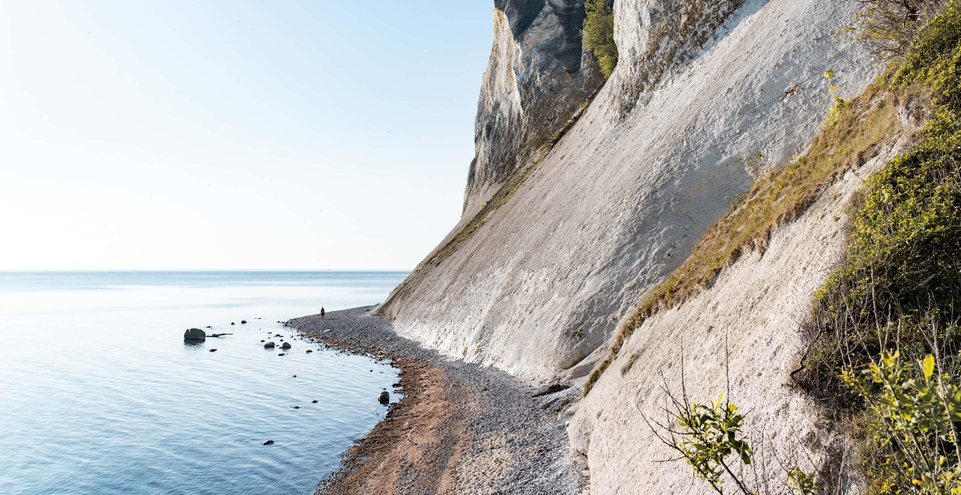
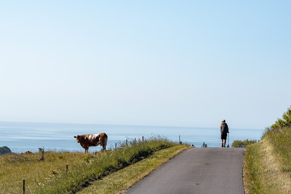
Island hopping alongside the white cliffs of Møns Klint, a UNESCO World Heritage site, on the Camøno Trail. This area offers a chance to traverse white sand beaches where, with some luck, one might discover fossils dating back 70 million years. You can find this unknown hiking trail in the northwest of Denmark, known by the Danes as Camønoen. Also named as ‘Denmark’s friendliest hiking trail,’ it’s slow travel at its best.

On the Camøno Trail, you’ll not face many other hikers for a perfect and peaceful hiki in serenity across the three islands of Møn, Bogø, and Nyord. Nyord, one of the darkest places in Europe, allows for the observation of the ‘dark sky.’ Accommodations along the route include B&Bs and shelters, facilitating a unique Danish island-hopping experience.

Elmar profile picture
Editor

Elmar Teegelbeckers

Passionate hiker Elmar spends months of his time on the trail. He’s usually on the lookout for hidden gems in one of his favourite countries such as Slovenia, Switzerland and Japan. He founded hiking-trails.com in need for a community and detailed information about the trails. Before this, he worked for the Alpine asscociation in the Netherlands[ (NKBV) but lost his heart to the trails.

Not long ago, Elmar published the book (in Dutch) Hiking Trails – best long-distance trails in Europe. With this book, website and socials, he hopes to inspire and shape an inclusive community for hikers all over world. No matter your speed, experience or level, you can get out there to enjoy the trails and connect with the heartwarming hiking community. Life is so much better outside and he hopes to inspire hikers to take their first, or next, step on the trail.

You can reach Elmar at info@hiking-trails.com.

View profile

The Trail

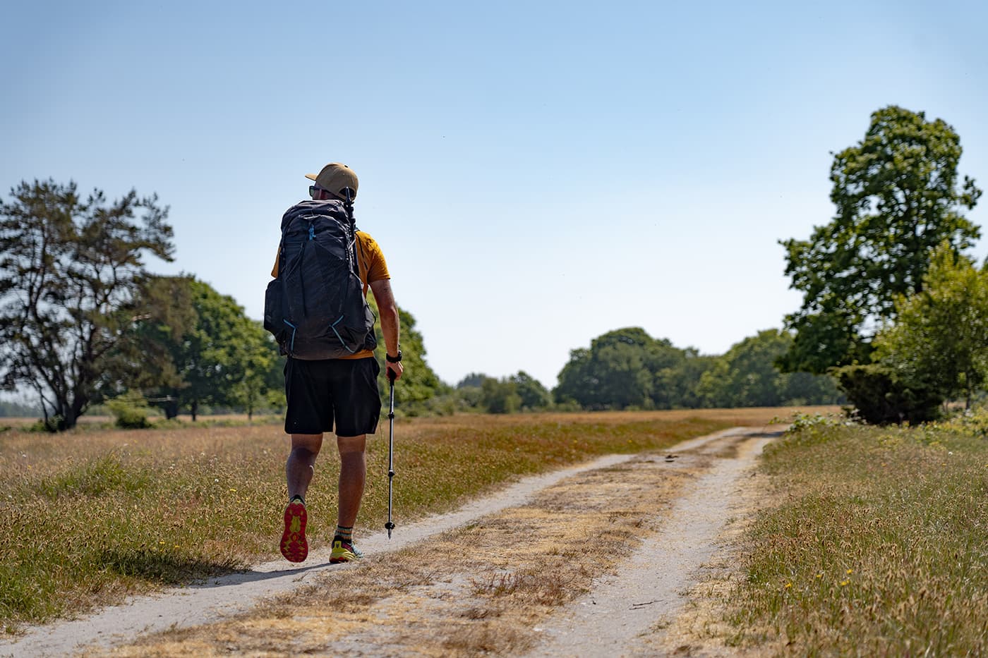
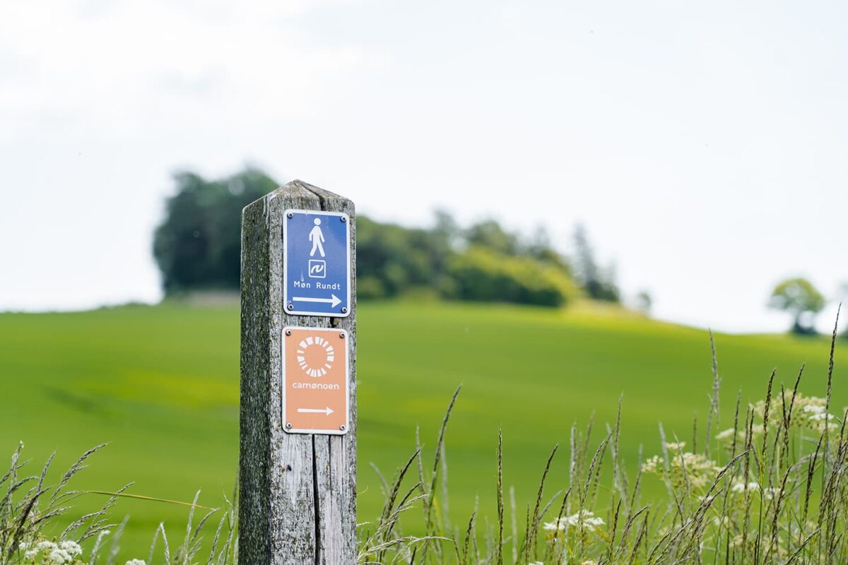
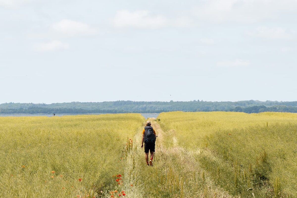
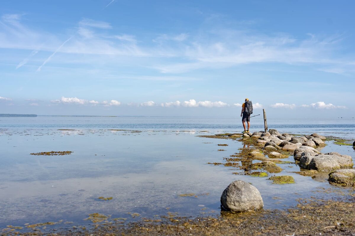
The 175-kilometer long-distance hike starts on Møn, the largest of the three islands, in the ancient trading town of Stege. A walk through the old center shows a blend of contemporary and historical architecture. The Møn Museum marks the starting point of the Camøno Trail. Here, you can sleep in a barn if you bring a sleeping mat and bag for the wooden beds. The trail is well-marked, leading towards Nyord. The route is solitary, with only the occasional angler spotted trying their luck on the bridges.

Nyord, a tiny 5 square kilometer island, is 80 percent uninhabitable marshland, regularly flooded by the Baltic Sea. Climb up the tower for panoramic views of the marshes, home to hundreds of bird species including the greenshank, avocet, lapwing, and redshank, with the potential sighting of larger predators like the sea eagle, osprey, and peregrine falcon. The inhabited portion hosts the first shelter, Hyldevang. These shelters, wooden open cottages that can sleep about four people, are freely accessible to hikers and cyclists, often equipped with a fire pit and sometimes wood for an evening fire. After settling in the shelter, a small hike to the harbor, the unique church, and through Nyord reveals picturesque old farms. Clear nights from September to March may offer views of the Milky Way in one of Europe’s darkest spots.

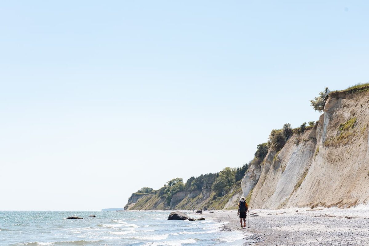
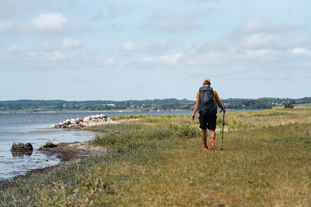
The journey continues along the coastline back to Møn. This is likely the first time on the trek that you’ll see tourists, likely enjoying a dip on a warm day. Moving inland, the white Elmelunde Kirke, a church that was once a high point in the landscape for trading ships on the Baltic Sea, stands out in the landscape with its smooth white buildings and red roofs. A B&B near the church provides accommodation, offering magical sunset views.

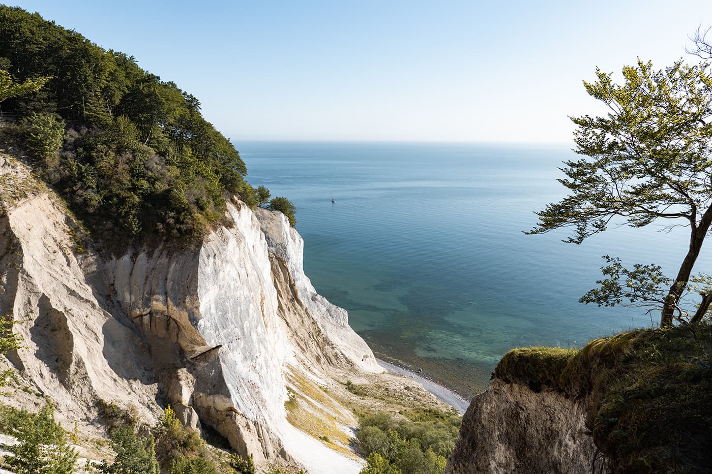
The path then leads to Møns Klint, the famous white cliffs recognized as a UNESCO World Heritage site. The kilometer-long coastline with its limestone and chalk formations presents a tropical illusion, with a unique ecosystem flourishing in the fertile soil, best viewed in early summer. Wooden staircases take you down from beech forests to the beaches, offering a spectacular view of the cliffs and a chance to discover 70-million-year-old fossils.

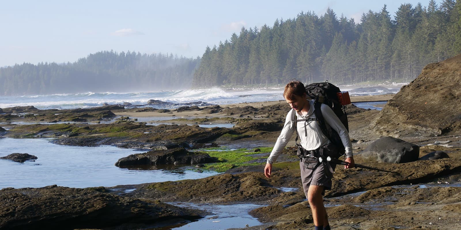
The trek proceeds to Bogø, the most challenging part of the trail because of the soft sand. Following the coastline to the next shelter near Slotshaven just before Bogø, you can finish the trail with a fireside meal as the sun sets over the sea.

Bogø, once owned by the Danish royal family, is linked by a bridge to the mainland, with bus services crossing to the harbor. Here, you can find one of Denmark’s oldest wooden ferries and a culinary gem in the harbor, where Christian, originally from Italy, bakes exceptional bread and pizzas. The Danish ‘kanelsnegle’ and evening pizzas are a delight, which you can enjoy with a view of the departing ferry.

The final stages return to Stege, ending this circuit and the 175-kilometer long-distance trail in Denmark. A campsite near the coastline provides the last night’s stay, with views of the Queen Alexandrine Bridge linking Møn to Zealand, Denmark’s largest island. This is a great long-distance trail for beginners or hikers who seek a lot of quiet on the trail.

Stages

The trail can be broken into 7 stages for a full week itinerary.

Stages of the Camøno Trail

Stage 1:

Stege – Nyord, 16 km | 10 mi

Stage 2:

Nyord – Elmehøj, 19 km | 11.9 mi

Stage 3:

Elmehøj – Møns Klint, 16 km | 10 mi

Stage 4:

Møns Klint – Slotshaven, 35 km | 21.8 mi

Stage 5:

Slotshaven – Bogø, 25 km | 15.5 mi

Stage 6:

Bogø – Mønbroen, 25 km | 15.5 mi

Stage 7:

Mønbroen – Stege, 19 km | 11.9 mi

Accommodations

While hiking the Camøno trail, you can mostly opt for sleeping in the free wooden shelters along the way and some accommodations like B&Bs and hotels when you pass a town.

Shelters

Sleeping in shelters along the Camøno trail offers a unique way to hike this trail. These shelters, often strategically placed, provide a rustic yet comfortable means of accommodation amidst the wilderness. The shelters are typically simple wooden structures, designed to offer protection from the elements while keeping you connected to the outdoors. They are set up at strategic points along the trail at the end of some stages allowing hikers to spend the night.

Best time of the year

The best time to hike the Camøno Trail is from May through October. These periods are recommended due to the mild weather conditions, which make the hiking experience more enjoyable. Spring offers the chance to see the landscape come to life, with more greenery and blooming flowers, while fall provides a beautiful backdrop of golden-red hues in the forests.

Safety & Gear

The Camøno Trail is an easy trail perfect for beginning long-distance hikers. Don’t forget to pack essentials like your camping gear, rainwear, layers, socks and underwear, a headlamp, multi-tools, and navigation stuff like a GPX on your mobile or a map of the Camøno Trail. Seasonal considerations should guide your choice of additional gear, such as sunscreen and insect repellent in the summer or thermal clothing and a warmer sleeping bag in cooler months. Always bring enough food and water with you while you start your hike.

Good to know

The Camøno Trail is a beautiful hike for anyone who loves tranquility. The paths are well-marked and not technical. The loose sand on two of the stages does require a good level of fitness. Since you pass many villages and shelters, you can always make the stages shorter or longer. Be sure to descend to the beaches of Møns Klint to view this unique UNESCO World Heritage site up close.

Route
Circuit
Water resources
in the towns along the trail

Want to submit a trail or make this page more complete?

Always read the disclaimer

Terms of Use: important to all visitors on this website. We strive to publish high quality content and information on this website. However it’s always possible that we’re missing out on some crucial information. In spite of the fact that this route, associated GPS track (GPX and maps) were prepared under diligent research by the specified contributor and/or contributors, the accuracy of such and judgement of the author is not guaranteed. Therefore, hiking-trails.com and contributors are in no way liable for personal injury, damage to personal property, or any other such situation that might happen to individuals hiking or following this route. Should you choose to hike this trail, this is always at your own risk. Check out our guidelines for safety hiking and Leave No Trace principles at the hiking 101 page.

Download GPX

Join the community!

Login or create a FREE account 😊

With an account you can:

Download GPX files

Pin trails to your wishlist

Mark trails as hiked by you

Rate hiking trails

Comment on trails, blogs and gear reviews

Happy trails!
Login

Don't have an account yet? Register here