About the Camino Del Norte

country
Spain, France
length
825 km(513 mi)
Type of trail
Pilgrimage, Long-distance
difficulty

Difficulty is highly personal. Be aware of the weather conditions as bad weather turns easier trails in difficult trails especially in the mountains.

Moderate
accommodation

Lodging means a mix of hotels, hostels or AirBnB’s.

Lodging, Camping, Shelters
Elevation gain
12300 m(40354 ft)
terrain
Countryside, Coastal, Forest, Hills
remoteness
Some of the time
Show more

The Camino consists of multiple possible routes. Originally, pilgrims would start from home, and make their way up to Santiago de Compostella in Galicia, Spain. In Spain, loads of different routes enable the hikers and pilgrims to pick the trail that best suits their needs. But starting from France or further away, 2 routes in Spain are very much more likely to be considered for the final leg: The Camino del Norte, which follows the northern coastline, and The Camino Frances, which is 150km 200km inland, but quite parallel to the coast.

This article focuses on the Camino del Norte.

Hadrien and Lisa profile picture

Hadrien & Lisa

Hadrien and Lisa weren’t born in the mountains, as they respectively come from Brittany (France) and Belgium, and live in the Netherlands. Nevertheless, over the past 10 years, they gradually gained experience and knowledge each year, ultimately leading them to Thru-hike the French Alps and the Pyrenees, as well as doing the Camino twice! You can follow Hadrien and Lisa on Instagram @the.wild.dukes

View profile

The Trail

Despite being slightly less famous than the Camino Frances nowadays, the Camino del Norte is more ancient. Indeed, during the Middle Ages, the coastal path represented a safer way to reach Santiago de Compostela while the Moorish armies pushed their way north through Spain.

Starting the Camino del Norte at the Spain/France frontier (whether in Hendaye in France, or Irun in Spain), the first leg of the journey consists in tackling the very hilly Spanish Basque country. If you have been hiking for a while already, through GR10, Via Podiensis, or Hexatrek, this week will not consist of any major challenge.

However, if you started in Irun or Hendaye on your first day, crossing the hilly (and potentially rainy and muddy) Basque country might represent the hardest part of the trail.

The trail follows the rugged coast of Biscay Bay, but not without well-deserved stops in the cities of Donostia (Basque name for San Sebastian) and then Bilbao after roughly a week. Two spots renowned for their cultural heritage, and gastronomy and also known for their world-renowned museums, it is worth planning a day off in those major cities!

Leaving Bilbao, landscapes change as you now walk through eucalyptus forests, over green fields and karst rocks cliffs. A few days later, after a full day hiking on the beach and after a quick sea crossing by boat, you’ll arrive in Santander, the capital of Cantabria. Within a few days, your next target will be Santillana del Mar, renowned for its anchovies.

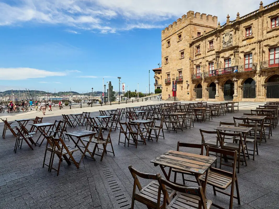
The next leg links Cantabria with Asturias, as you now head to Villaviciosa. You’ll hike the beaches, rugged cliffs, and hills of Asturias, but not without a stunning view over the Picos de Europa if weather allows. Also in this leg, you’ll now face the Asturian hórreos (granaries) quite regularly. Note their shapes and colors as those will evolve along your hike.

In Villaviciosa raises THE question most hikers will face at this point: Should I continue on the Camino del Norte and head to Gijón, or switch to the Camino Primitivo and head to Oviedo?There is no right or wrong decision at this point, as both routes have advantages. The Camino del Norte is slightly longer but enables you to follow the coastline, whereas the Primitivo is quicker and has less asphalt but also is more physically demanding.

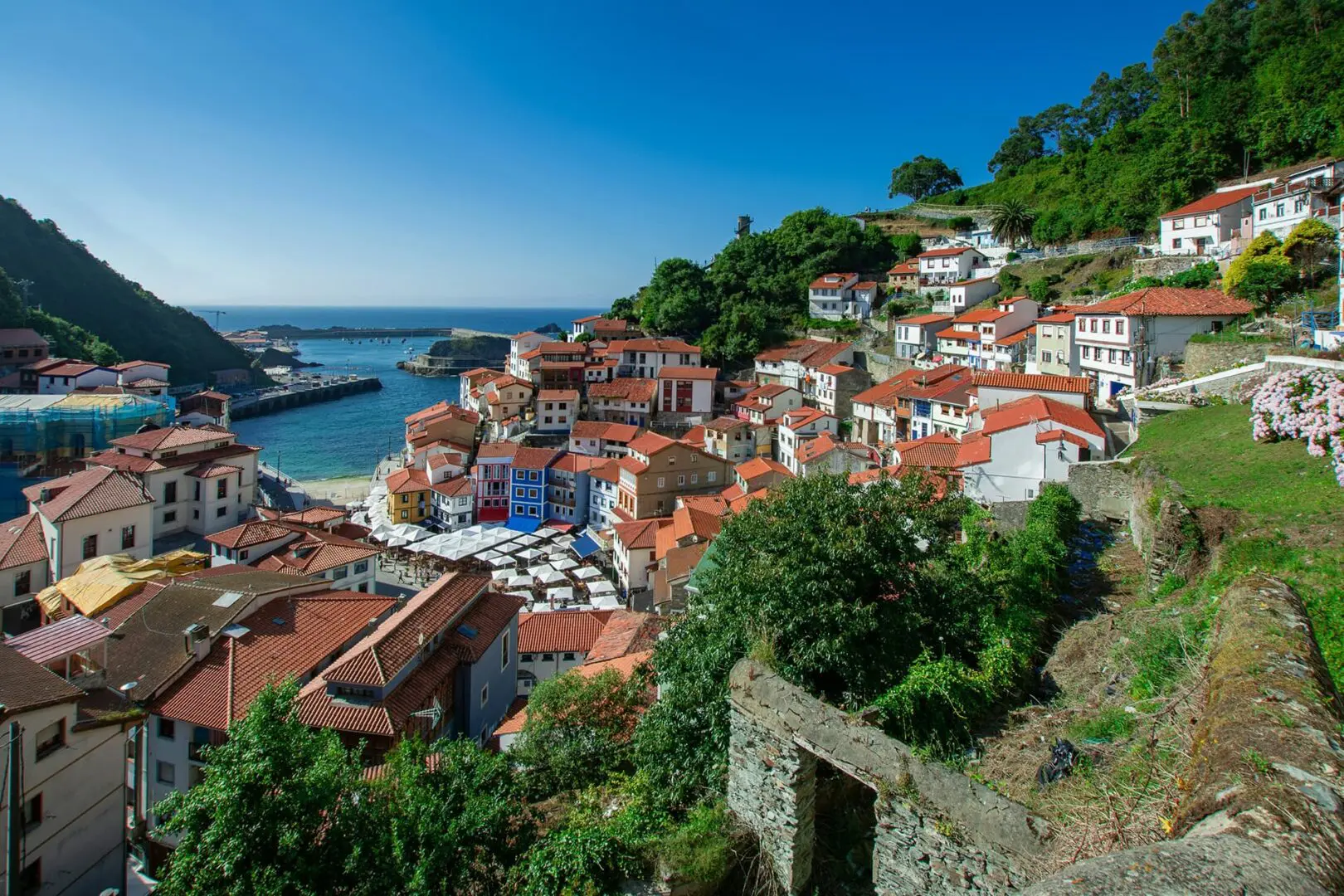
If you follow the Camino del Norte, you’ll reach Gijón within a couple of days. The trail then alternates between hidden beaches, a few seaside resorts, and fishermen villages such as Cudillero and Soto de Luiña. The trail then becomes a bit more hilly for a couple of days, not without stunning views of the seaside, until you reach Ribadeo.

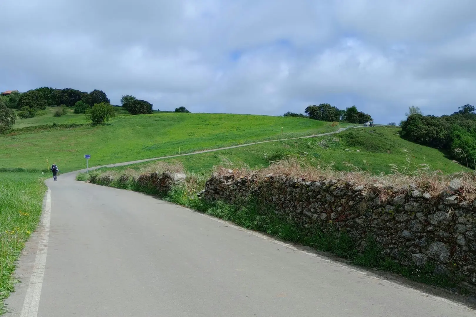
Not long after Ribadeo, you’ll leave the sea behind and head inland to Santiago. Landscapes become a bit mistier as you walk over the highlands of Galicia, hórreos are now colorful and made of granite, and within about a week, you’ll reach Arzua.

In Arzua you’ll join the Camino France for the last 2 days! For these last 2 days, we advise you to book your accommodation in advance to ease your mind! Indeed you walk along the hikers that evolved on the Camino Primitivo and the Camino Francès for 2 rather crowded days.

Finally, about 825km after your first step on the Camino, you’re in front of the cathedral in Santiago. Take a moment to enjoy the journey and visit the city – not without collecting your compostela (your pilgrim diploma).

If you’re not ready to stop yet, then lucky for you, you can continue and walk a less busy trail up to the sea. It will require up to 3 or 4 days to walk up to Fisterra, literally “the end of the world”, or to Muxía. These are a few days the authors do recommend, as after the crowded last 3 days up to Santiago, walking a less busy trail up to the sea is a charm.

Accommodations

The Camino del Norte is very well developed in terms of accommodations.
When hiking this trail, you will likely sleep in public or private Albergue. Those accommodations are legions along the way, however, please note that you will require a “credential” to sleep in Pilgrim Albergues. These credentials can be bought in churches and tourist offices along the way. Credentials can also be bought before your hike, whether online or in your local pilgrim associations.

Note that it is also possible to sleep in B&B and camping spots, however these are more spread out.

Book your accommodations at least 2 days before, if not a few months in advance, as the Camino Francés is very popular among hikers and pilgrims. Booking will give you peace of mind and ensure you have a bed at the end of the day. However, be responsible and only book a bed in a single location per night, and commit to your booking or release your booking soon enough so that other hikers/pilgrims can benefit from it.

Best time of the year

The best time of the year to hike the Camino del Norte is undoubtedly from May to the end of September. In theory, the trail is possible to hike across the whole year. Only the accommodations and services must be checked for their opening/closing dates.

As you’re hiking on the Camino be aware that there might be some challenging weather along the way, particularly in Basque Country at the beginning of your hike, and when crossing highlands of Galicia at the end of your hike.

Keep in mind that the weather in those areas can change rapidly, and it’s essential to be prepared for various conditions, including sudden rain and storms/lightning or even snow showers. Always check trail conditions, and local weather forecasts before embarking on the hike.

Safety & Gear

To be safe, please conduct thorough research on the trail. This includes assessing your ability to handle factors such as trail difficulty, length, elevation gain, and terrain. We recommend you check multiple sources to corroborate your information.

Share your itinerary with people you trust, including details like your anticipated start and end times, chosen route, and emergency contact information.

Stay informed about the weather conditions in the area where you intend to hike. Use common sense and don’t hike during severe weather conditions, including thunderstorms, heavy rainfall, or extreme heat.

Always bring enough water and snacks to stay energized and prevent dehydration and exhaustion. For most regions, this means bringing at least two liters of water with you.

Familiarize yourself with the map and carry tools such as a compass or GPS device to stay oriented and avoid getting lost.

Invest in the right hiking gear, including comfortable, supportive footwear, proper hiking clothing, such as warm base layers and a hardshell rain jacket, hiking poles, a well-fitted backpack, and essential equipment like maps, GPS devices (when needed), and a first-aid kit. Check out our comprehensive gear list for long-distance trails like this.

Respect the principles of Leave No Trace by minimizing your impact on the environment. Stick to designated trails, pack out all trash, and show respect for wildlife and natural habitats.

Good to know

The Camino del Norte is well-developed in terms of accommodations, but can also be very busy. Make sure you book accommodations at least 2 days in advance if not a few weeks/months before. Wild camping on this trail is not allowed. You’ll find many Pilgrims Albergues along the way, as well as a few camping sites and B&Bs.

Overall, there are enough water points along the way. Some specific days, especially in the hottest months of the year, will require you to carry enough water for the day. Those sections are typically highlighted in the guidebooks.

Route
Point to point
Highest point
1324m (4344 ft)

Guidebooks

cover guidebook

Camino del Norte

View guidebook

Want to submit a trail or make this page more complete?

Comments

Be the first one to comment on this trail!

Reply to this trail

Your email address will not be published. Required fields are marked *

Reply to this trail

Log in to comment on this trail
Always read the disclaimer

Terms of Use: important to all visitors on this website. We strive to publish high quality content and information on this website. However it’s always possible that we’re missing out on some crucial information. In spite of the fact that this route, associated GPS track (GPX and maps) were prepared under diligent research by the specified contributor and/or contributors, the accuracy of such and judgement of the author is not guaranteed. Therefore, hiking-trails.com and contributors are in no way liable for personal injury, damage to personal property, or any other such situation that might happen to individuals hiking or following this route. Should you choose to hike this trail, this is always at your own risk. Check out our guidelines for safety hiking and Leave No Trace principles at the hiking 101 page.

Download GPX

Join the community!

Login or create a FREE account 😊

With an account you can:

Download GPX files

Pin trails to your wishlist

Mark trails as hiked by you

Rate hiking trails

Comment on trails, blogs and gear reviews

Happy trails!
Login

Don't have an account yet? Register here