About the Camí de Ronda

Catalonia
country
Spain
length
140 km(87 mi)
Type of trail
Long-distance
difficulty

Difficulty is highly personal. Be aware of the weather conditions as bad weather turns easier trails in difficult trails especially in the mountains.

Moderate
accommodation

Lodging means a mix of hotels, hostels or AirBnB’s.

Lodging, Camping
Elevation gain
3000 m(9843 ft)
terrain
Hills, Coastal, Forest
remoteness
Some of the time
Show more

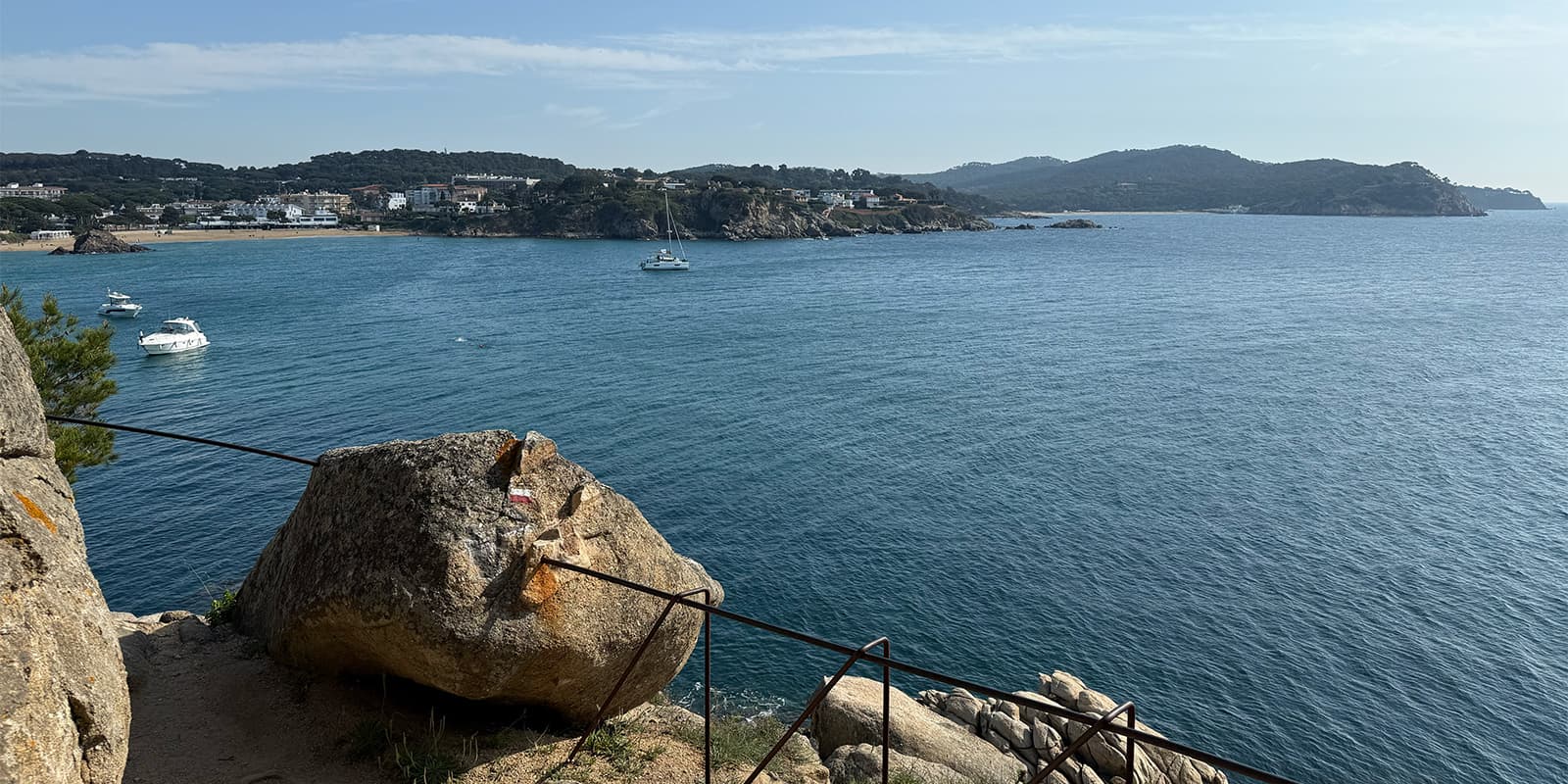
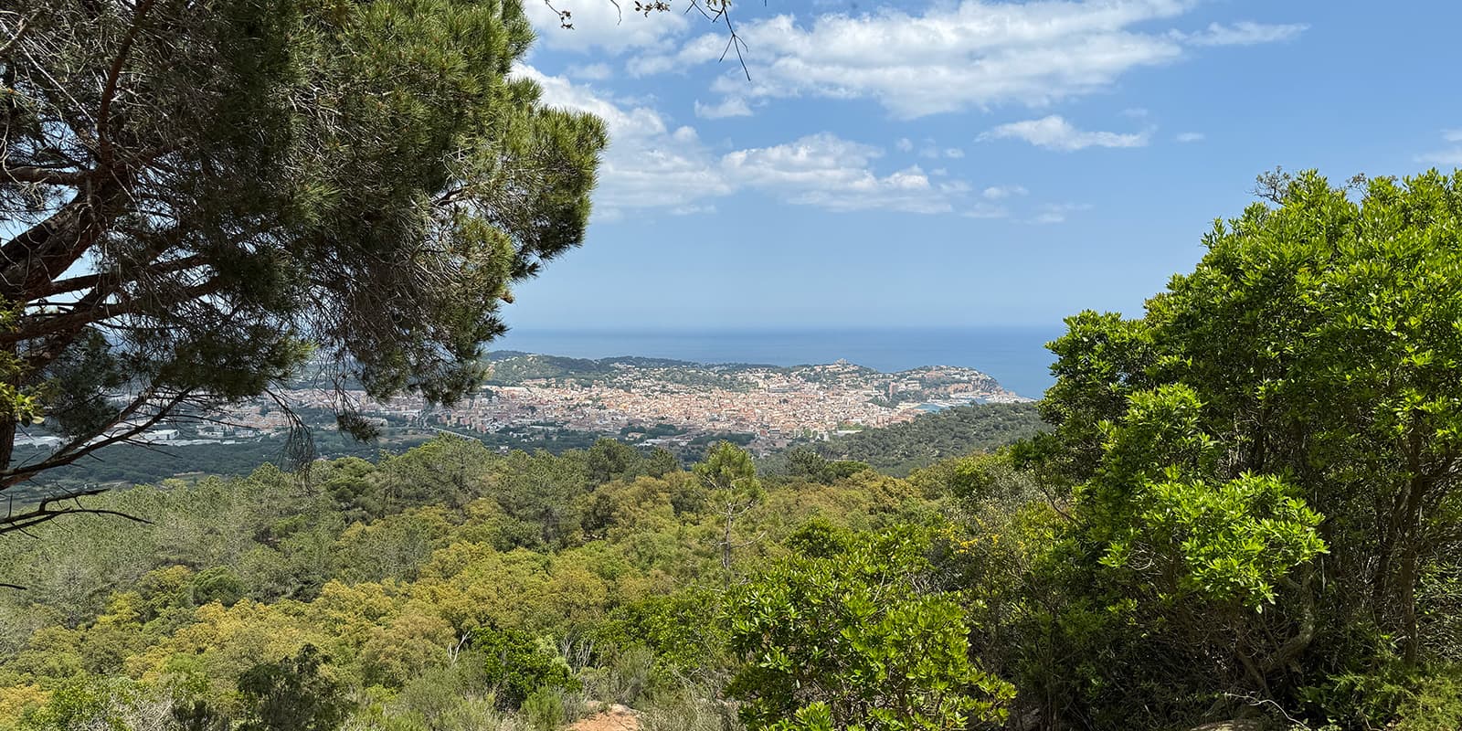
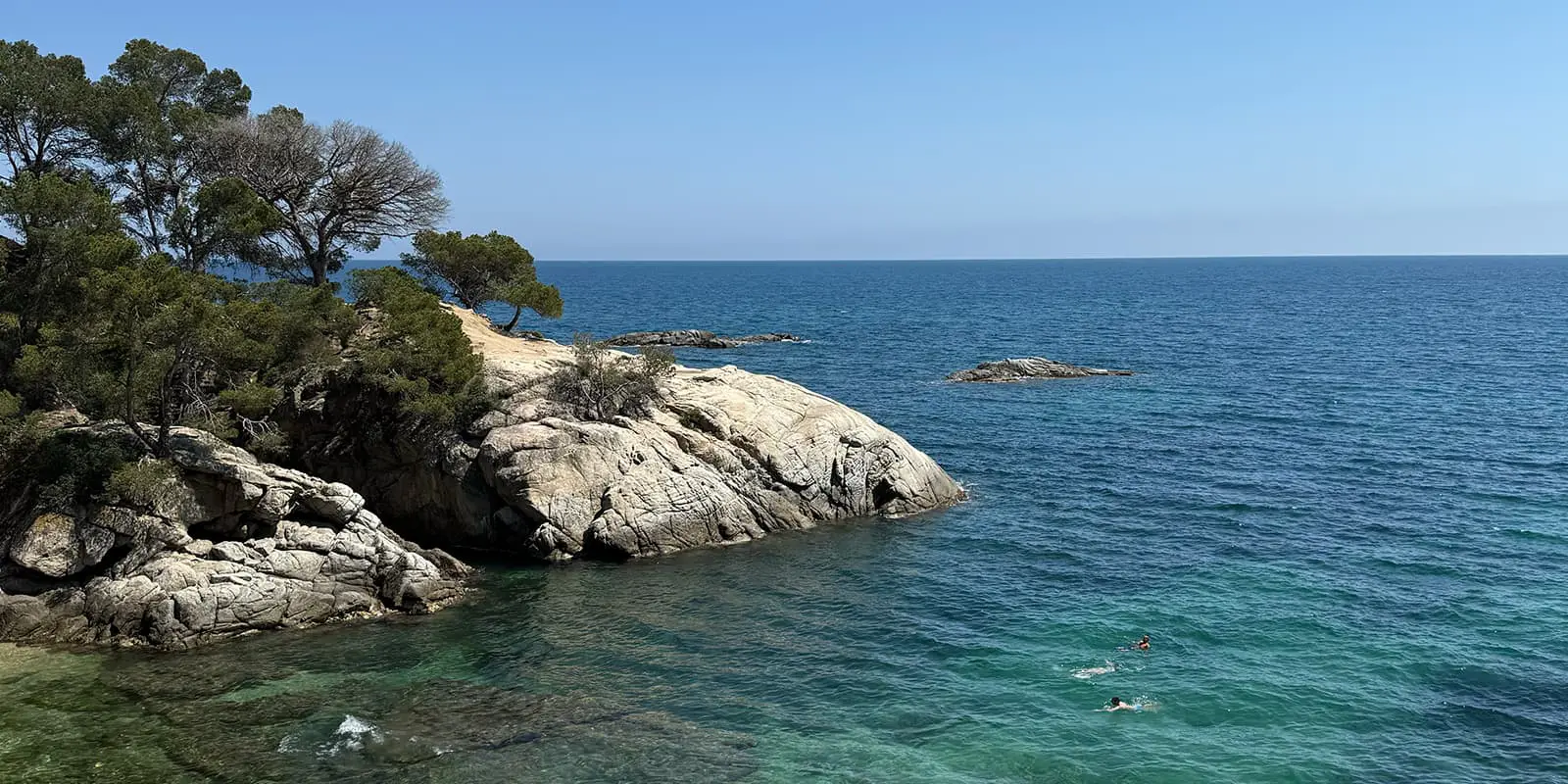
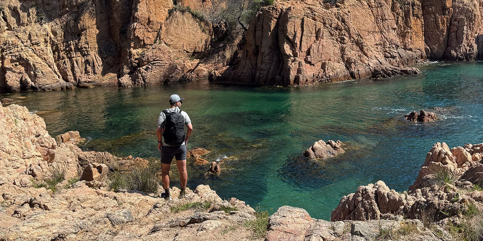
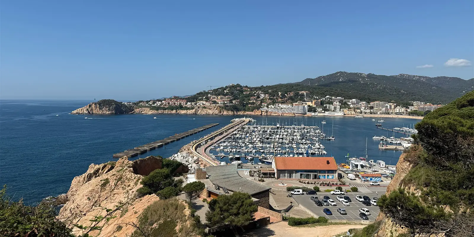
The Camí de Ronda is a coastal trail that runs along the Costa Brava in northeastern Catalonia, originally used by local patrols to monitor the coast. Today, it’s a popular hiking route that links lots of seaside towns, coves, lighthouses, and historical sites. You’ll walk along with locals enjoying a day out, holiday visitors from Spain and abroad, and others seeking several days on the coast.

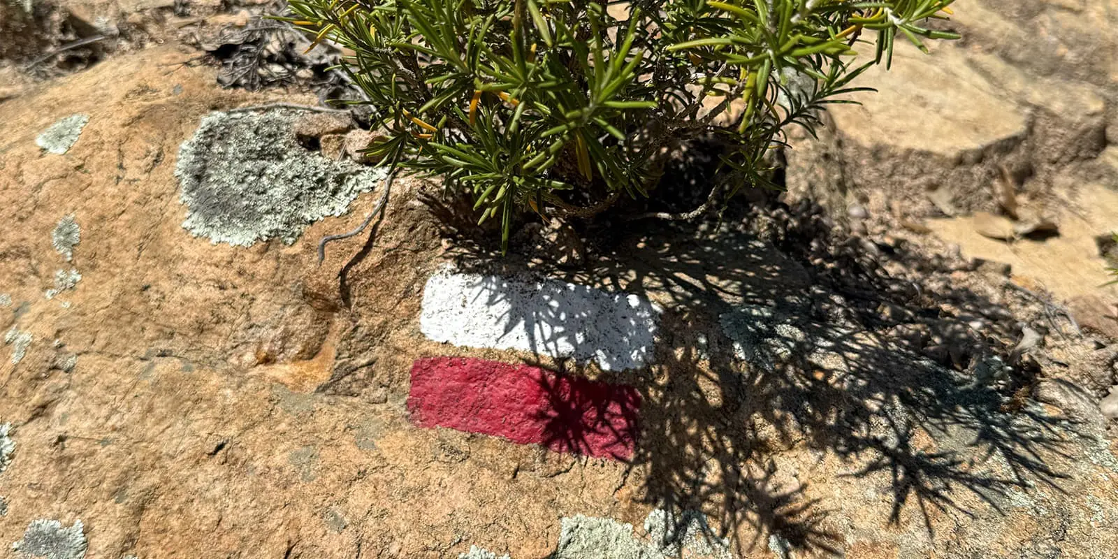
On the route, you’ll walk paths maintained by years of use, from old guard trails to small paths. Each stretch takes you from coves and fishing ports to old villages and lighthouses in landscapes that inspired famous Catalan artists.

women in blue smiling at camera
Editor

Katie Mitchell

After a whirlwind of 8 years on the road (and trail!), Katie has hiked the Camino Frances, the Peaks of the Balkans, the Fisherman’s Trail, and extensively in the United States. She is an avid trail runner and now lives in Colorado where she plays in the mountains in her free time. You can follow her adventures on Instagram.

View profile

The Trail

The circular Cami de Ronda journey starts and ends in Girona, heading east toward the coast. On stage one, you leave Girona’s city center and head toward the nearest coastal point on what will be the longest stage of 28 kilometers. From here, the trail gets easier and follows the coast, moving through small towns and fishing harbors.

Following the official route, you’ll pass through coves like Cala Canyers and come to landmarks like the Sant Sebastià lighthouse near Palafrugell. Along the coast, you move from one cove to another: some are well-known, others hidden. Mid-route, you will reach Palamós, where you can visit the Fishing Museum to learn about maritime life in the area.

Next, the path swings north into the Baix Empordà comarca. You’ll cross villages like Begur, with its tiny coves such as Sa Tuna, and reach Calella de Palafrugell. Continuing, you move on to Llafranc and up to the medieval town of Pals or Peratallada. In this area, inland side trips on rest days are common.

In the northern stretch, you’ll arrive at the Alt Empordà comarca. Here, the path nears Cadaqués and the Cap de Creus natural park before bending back toward Girona. Each day starts with breakfast in a coastal village and heads into the next, with accommodations arranged accordingly.

The trail is well-marked and supported by local infrastructure if you want to utilize luggage transports, official guides, and pre-arranged accommodation options. Each day’s section ends near services or transport links, so even though it’s a loop, you can adjust the days without needing to backtrack.

Stages

The Camí de Ronda circular route is usually hiked in 8 days. However, each stage starts and ends in a village, which makes it very easy to adjust your schedule if you want to start elsewhere, take a rest day, or travel to another region nearby before continuing the hike.

Camí de Ronda 8-stage itinerary

Stage 1:

Girona – Llagostera, 28.7 km | 17.8 mi 

Stage 2:

Llagostera – St. Feliu de Guíxols, 20.7 km | 12.9 mi 

Stage 3:

St. Feliu de Guíxols – Palamós, 17.4 km | 10.8 mi 

Stage 4:

Palamós – Llafranc, 13.1 km | 8.2 mi

Stage 5:

Llafranc – Begur, 12.5 km | 7.8 mi 

Stage 6:

Begur – La Bisbal d’Empordà, 17.4 km | 10.8 mi 

Stage 7:

La Bisbal d’Empordà – Els Àngels, 15.8 km | 9.8 mi

Stage 8:

Els Àngels – Girona, 14.4 km | 9 mi 

Accommodations

On the Camí de Ronda, most nights are spent in small hotels and guesthouses located in the villages along the route. The official offering includes hotel stays in city centers (like Girona) and coastal towns. There are also campsites near some coastal towns if you want them. If you work with a tour operator to book the trip, they will take care of finding accommodations for you and will often offer luggage transfers if you’re hoping to stay lightweight.

Best time of the year

The ideal hiking season is from late spring (May) through early autumn (September–October). During these months, you’ll find good weather and open services in coastal towns. Outside this period, some accommodations may close, and weather can be more uncertain, though winter walking is still possible if you’re prepared.

Safety & Gear

Preparing to hike the Camí de Ronda doesn’t need to be difficult. While it is a multi-day hike, it’s possible to stay at accommodations each night. This means you won’t need to pack overnight camping gear or extra food. However, you will still want to bring a first aid kit, proper clothing layers, and comfortable shoes.

Taking a backpack with ergonomic support will also be key to a successful trip. Walking for 5+ hours a day will have an impact on your body no matter what, so it’s best to make it as comfortable as possible! We have a full packing list for long-distance hikes here.

Difficulty

The Camí de Ronda circular route is a moderate trail. This is because the days can be long, usually averaging 17km and sometimes getting up to 28km, but the elevation gain isn’t too extreme. You climb about 3000 meters over 8 days, which is very gentle. You will still want to prepare for the trail, as it’s 8 days of hiking along the coast, but you won’t need to go on a long training plan before attempting it.

Good to know

The trail is circular, which means you can technically begin in any town along the route. However, it is most popular to begin and end in Girona. The city is about an hour by train from Barcelona, and the city center is well-connected and easy to reach.

route
point-to-point
highest point
453m (1486 ft)
Water resources
In villages

Want to submit a trail or make this page more complete?

Join the community!

Login or create a FREE account 😊

With an account you can:

Download GPX files

Pin trails to your wishlist

Mark trails as hiked by you

Rate hiking trails

Comment on trails, blogs and gear reviews

Happy trails!
Login

Don't have an account yet? Register here