About the Bernina Trek

Alps
country
Switzerland, Italy
length
135 km(84 mi)
Type of trail
Hut to hut, Long-distance
difficulty

Difficulty is highly personal. Be aware of the weather conditions as bad weather turns easier trails in difficult trails especially in the mountains.

Difficult
accommodation

Lodging means a mix of hotels, hostels or AirBnB’s.

Mountain huts, Lodging
Elevation gain
6186 m(20295 ft)
terrain
Mountains
remoteness
None of the time
Show more

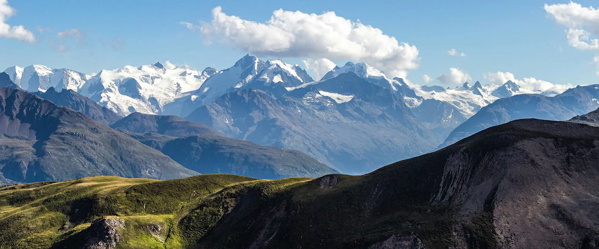
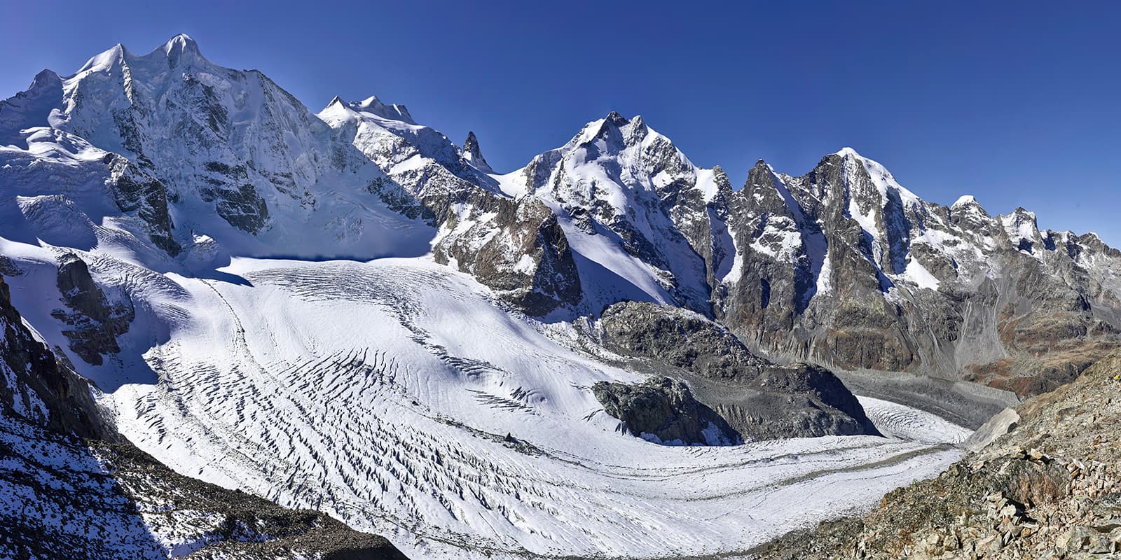
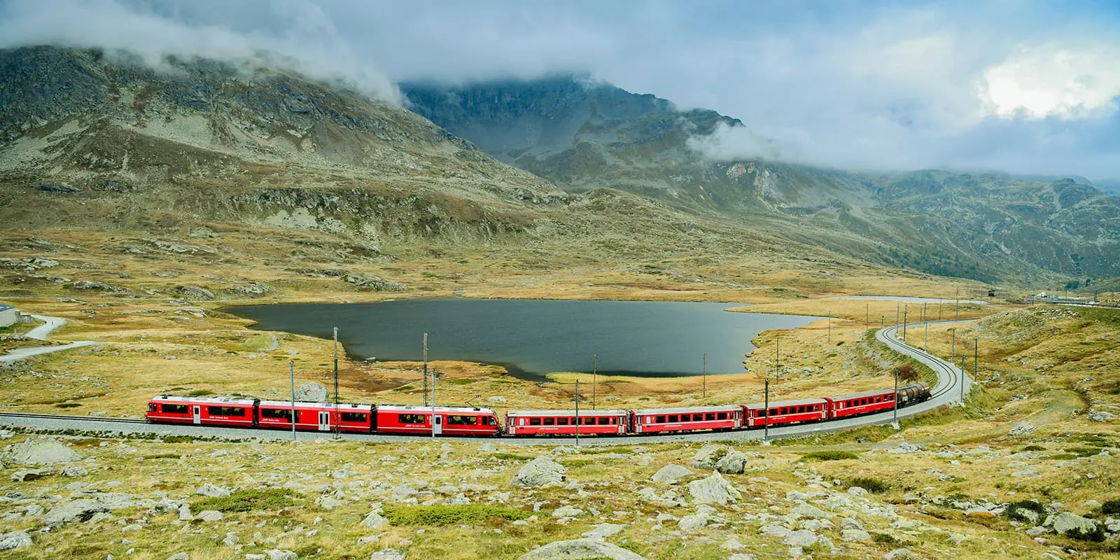
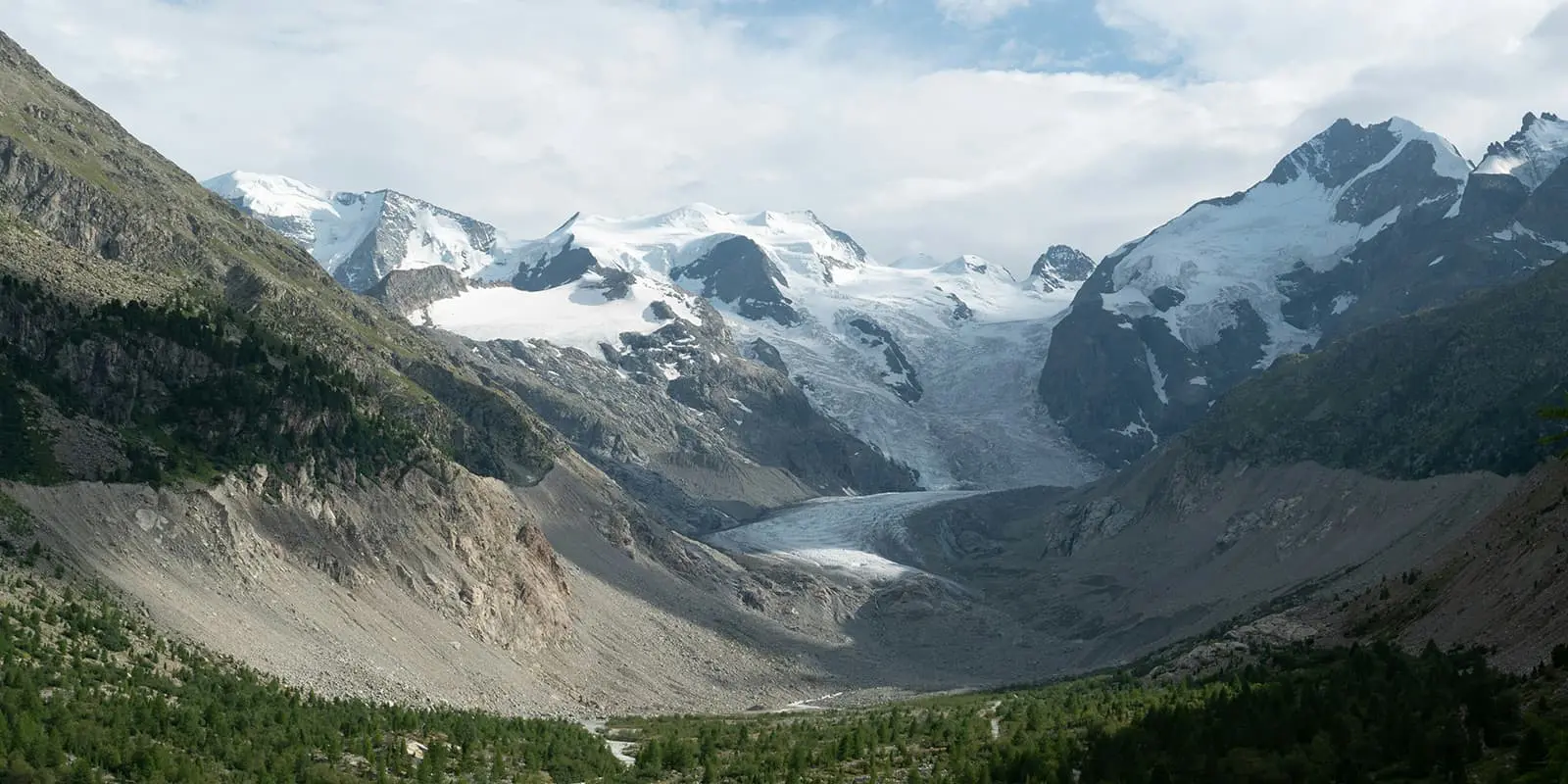
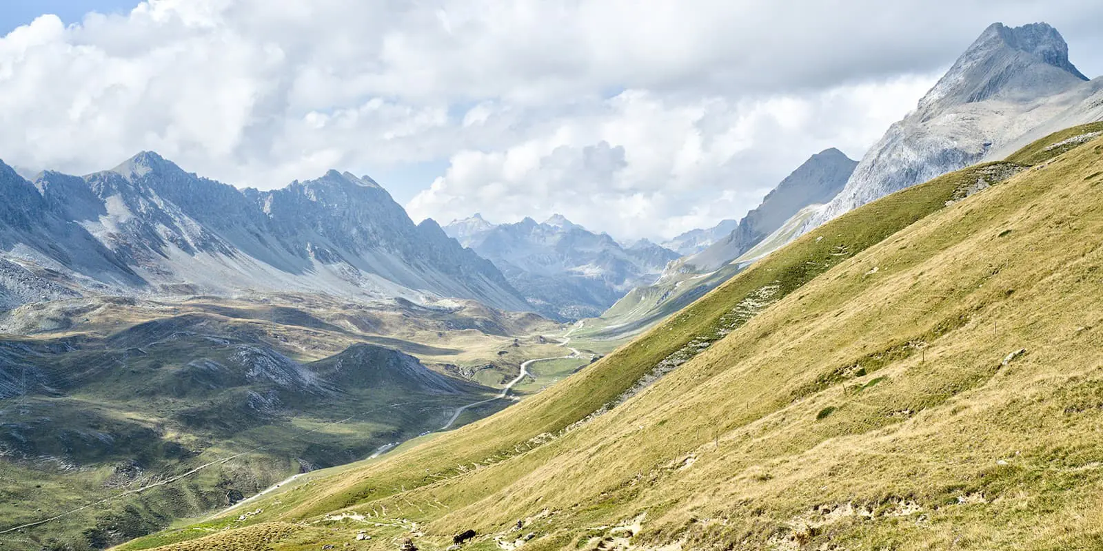
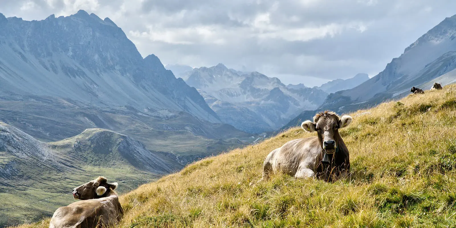
The Bernina Trek is a stunning long-distance hike through the Swiss Alps. In 7 stages it will take you from the town of Madulain through the Albularegion, by way of the Piz Kesch and the UNESCO World Heritage route of the Rhaetian Railway. It follows the Bernina Range, which is known for its dramatic landscapes, glaciers, alpine lakes, and views of the Bernina massif itself.

It ends in the Italian town of Puschlav and is a great opportunity to experience both the nature and heritage of the region. This is definitely a top choice if you’re looking for an adventurous alpine experience.

Merle profile picture

Merle Wünderling

Merle is an outdoor enthusiast who’s passionate about hiking, rock climbing, mental health, and sustainability. Born in Germany but at home in the world, she’s hiked trails in New Zealand (Abel Tasman Coast Track, Kepler Track), Europe (Rota Vicentina/ Fishermen’s Trail, Tour du Mont Blanc, GR20 Corse, Kungsleden… ), and the Balkans (Peaks of the Balkans). Over the years she became a bit of a nerd, constantly improving her gear for upcoming hikes, such as GR11 Spain, Tour des Ecrins, Te Araroa, and the Transcaucasian Trail.

You can follow Merle on Instagram @merlewunderkind.

View profile

The Trail

The ascent to the Chamanna d’Es-cha begins from Madulain train station, where the trail leads through forests and over slopes. It’s a great introduction to the trail – not too difficult to begin and gives you a chance to warm up for what’s to come.

The next day starts with a descent to the Albulapassstrasse, which picks up the pace a bit from the first day. This is followed by an ascent to Fuorcla Crap Alv, with its species-rich flower meadows, and an extended descent into Val Bever. The stage ends with a final ascent to the Chamanna Jenatsch.

From the Chamanna Jenatsch to the Chamanna Coaz, there are a few meters of altitude to conquer. Your efforts are rewarded by the panoramic trail with views of the Bernina massif.

From the Chamanna Coaz, you’ll follow one of the most beautiful high-altitude trails in the Alps. It will lead you down to the Lej da Vadret (German glacier lake) and will end at the Chamanna da Tschierva.

The fifth stage leads from Val Roseg via Pontresina to Val Morteratsch. There is a good chance of seeing chamois and marmots in the valley, so keep your eyes peeled and your camera at the ready.

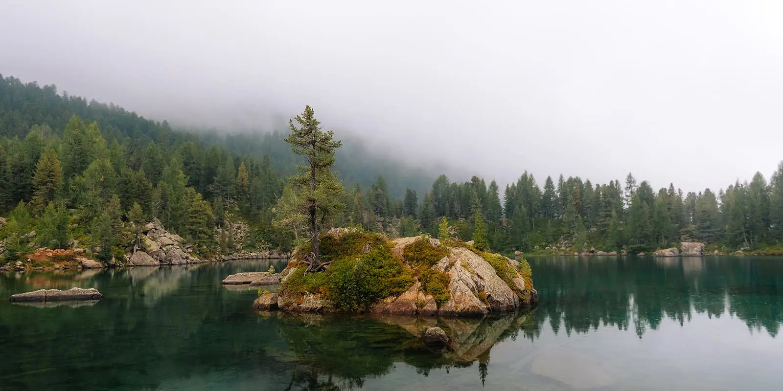
The next day leads from the glacier mountains of the Bernina group, past lakes and waterfalls, into the plant-rich Val da Camp and ends at the Rifugio Saoseo.

The last stage will take you through the Livigno Alps, with views of Piz Palü and the Palü glacier, Piz Varuna, and Pizzo Scalino. From the Rifugio Saoseo, a combination of paths and natural roads with plenty of viewpoints lead down to the village of Poschiavo. Be sure to treat yourself in one of the many restaurants before you start your return journey along the UNESCO World Heritage route of the Rhaetian Railway!

Stages

The classic Bernina Trek is hiked in 7 days. The route can be extended to include all kinds of peaks as well as shortened through transport options along the way (mountain railways, Rhaetian Railway, Postbus).

7-stage itinerary

Stage 1:

Madulain – Chamanna d’Es-cha, 5.9 km | 3.7 mi

Stage 2:

Chamannna d’Es-cha – Chamanna Jenatsch, 23.9 km | 14.9 mi

Stage 3:

Chamanna Jenatsch – Chamanna Coaz, 28.3 km | 17.6 mi

Stage 4:

Chamanna Coaz – Chamanna da Tschierva, 13.4 km | 8.3 mi

Stage 5:

Chamanna da Tschierva – Chamanna da Boval, 22 km | 13.7 mi

Stage 6:

Chamanna da Boval – Rifugio Saoseo, 28.4 km | 17.6 mi

Stage 7:

Rifugio Saoseo – Poschiavo, 14.2 km | 8.8 mi

Accommodations

There are various options for accommodation along the way, including mountain huts of the Swiss Alpine Club (SAC) as well as hotels and guesthouses. Make sure to book your accommodations far in advance, especially during the peak summer months.

Mountain huts per stage

Stage 3:

Chamanna Coaz

Stage 6:

Rifugio Saoseo

Best time of the year

The best time to hike Bernina Trek is between the end of June – the beginning of October, when there is no snow and accommodations are open. You’ll find that the huts will likely be very full throughout the middle of this time frame when most people are on holiday. If you choose to hike in the high season, be ready to swap stories and share a meal with your fellow hiking enthusiasts!

Safety & Gear

Before the hike, gather information about the route (length, altitude, difficulty, current conditions) and assess your skills realistically. The Bernina Trek is a challenging hike that requires experience in alpine terrain, surefootedness, and proper equipment.

Invest in the right hiking gear, including comfortable, supportive footwear with a good grip, proper hiking clothing, such as warm base layers and a hardshell rain jacket, hiking poles, a well-fitted backpack, and essential equipment like maps, GPS devices (or the GPX on your mobile), and a first-aid kit. Check out our comprehensive gear list for hut-to-hut hikes.

If you walk by yourself, share your plans with somebody else for your own safety.

For staying overnight in the mountain huts, bring a light sleeping bag, in addition to the provided blankets, and earplugs for a restful night.

The weather in the high mountains can change rapidly. Always check the trail conditions and local weather forecasts to be prepared for all conditions, including rain, sun, or snow. Also, pay attention to the warming of the day and the resulting increase in the risk of thunderstorms. If conditions are uncertain, alter your itinerary!

Stay properly hydrated and nourished. Ensure you have enough water and snacks to maintain energy levels and prevent dehydration and exhaustion. Bring at least two liters of water with you.

Respect the principles of Leave No Trace by minimizing your impact on the environment. Stick to designated trails, take all your trash with you, and show respect for wildlife and natural habitats (keep your distance, don’t feed them).

Difficulty

The Bernina Trek is considered to be a moderate-to-difficult trail. High-altitude passes and rugged mountain terrain require a good level of fitness and experience in alpine conditions. However, transport options along the way (mountain railways, Rhaetian Railway, Postbus) allow you to tailor the trek to your skills and comfort zone.

Good to know

Consider becoming a member of the Swiss Alpine Club (SAC) to help maintain the huts and trails and benefit from discounts on overnight stays in Swiss Alpine Club (SAC) mountain huts.

How to become a Swiss Alpine Club (SAC) member?

route
point-to-point
highest point
2,966m (9,730 ft)

Guidebooks

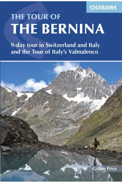
guidebook bernina trek

Tour the Bernina

View guidebook

Want to submit a trail or make this page more complete?

Always read the disclaimer

Terms of Use: important to all visitors on this website. We strive to publish high quality content and information on this website. However it’s always possible that we’re missing out on some crucial information. In spite of the fact that this route, associated GPS track (GPX and maps) were prepared under diligent research by the specified contributor and/or contributors, the accuracy of such and judgement of the author is not guaranteed. Therefore, hiking-trails.com and contributors are in no way liable for personal injury, damage to personal property, or any other such situation that might happen to individuals hiking or following this route. Should you choose to hike this trail, this is always at your own risk. Check out our guidelines for safety hiking and Leave No Trace principles at the hiking 101 page.

Download GPX

Join the community!

Login or create a FREE account 😊

With an account you can:

Download GPX files

Pin trails to your wishlist

Mark trails as hiked by you

Rate hiking trails

Comment on trails, blogs and gear reviews

Happy trails!
Login

Don't have an account yet? Register here