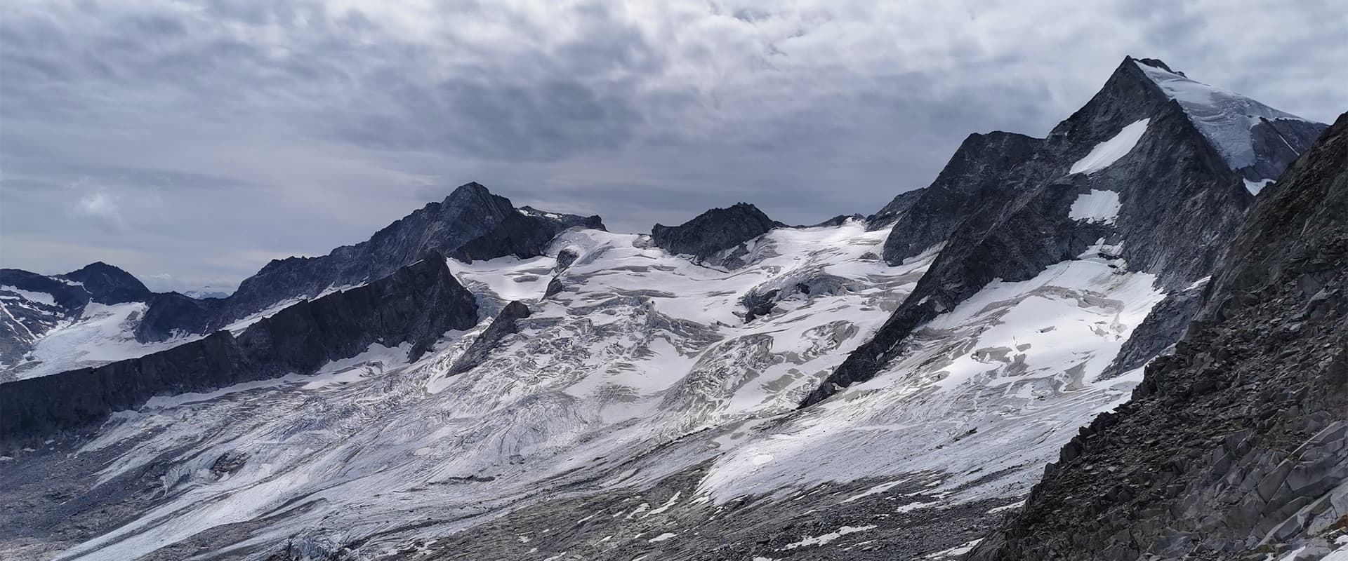
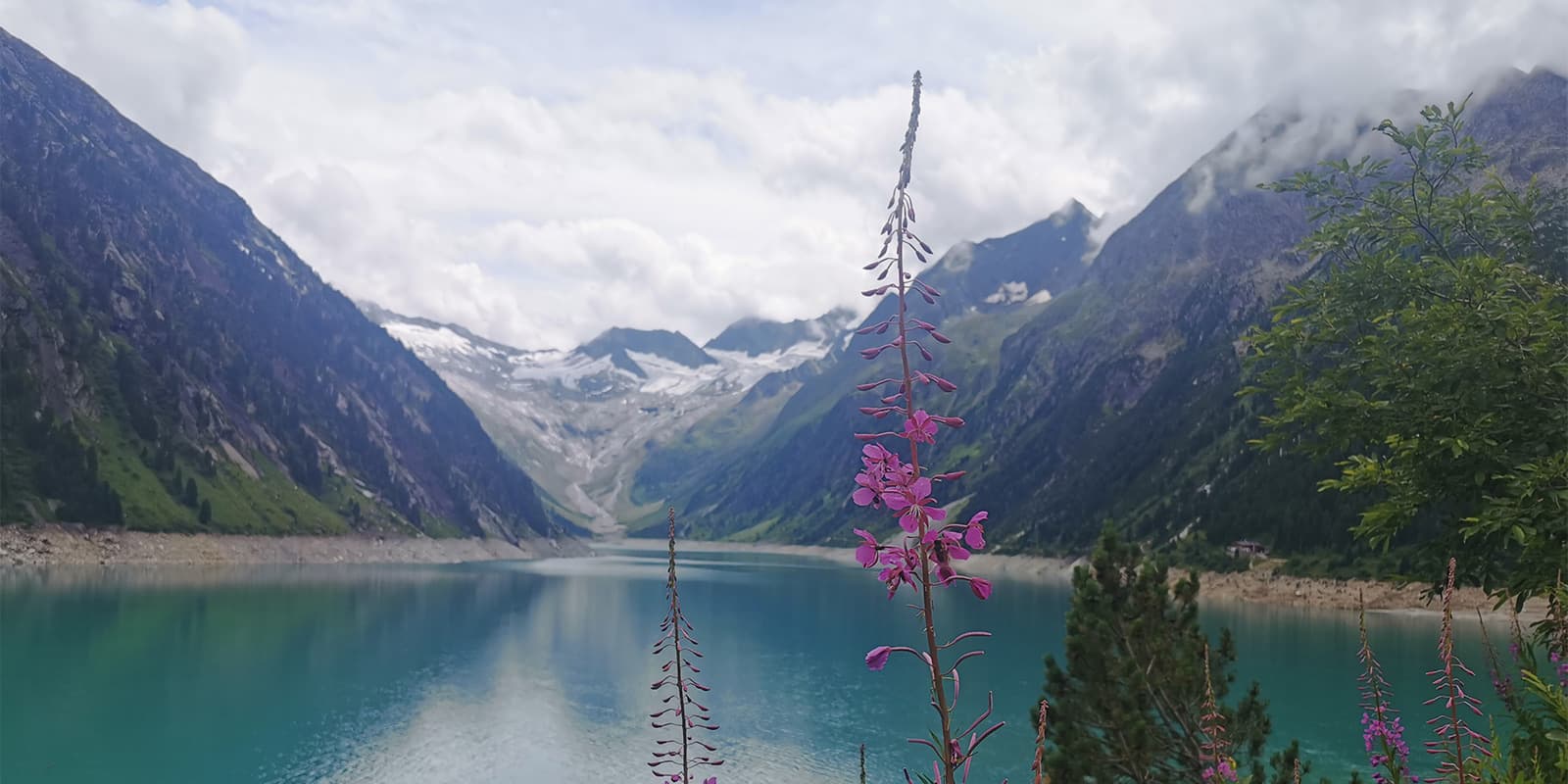
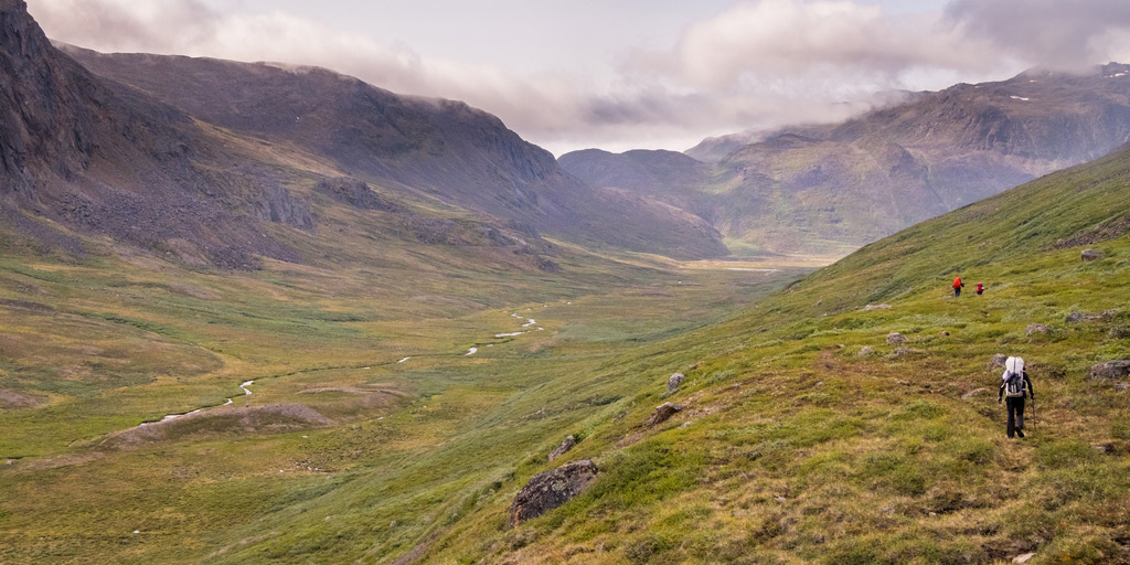
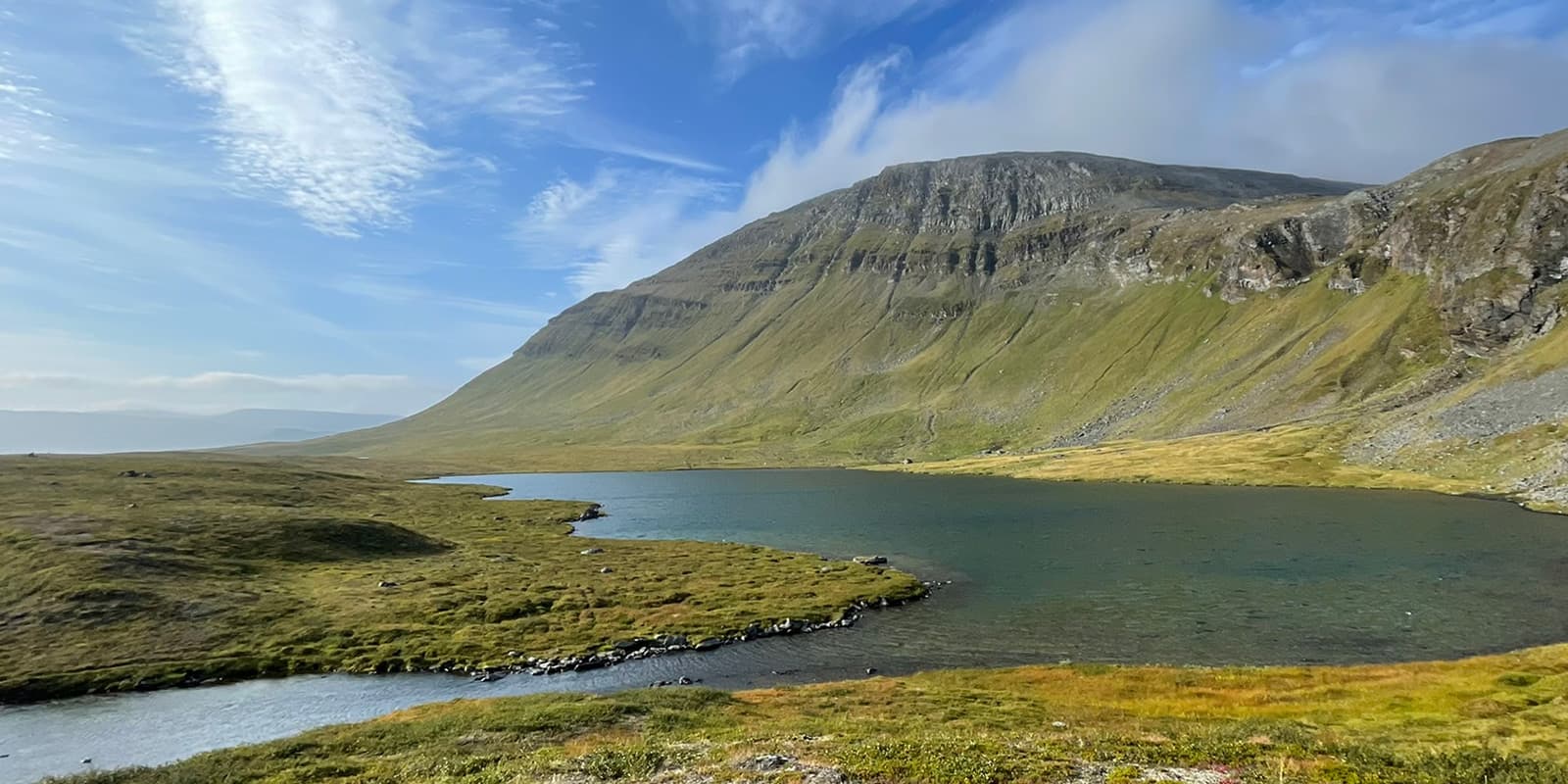
snowy peaks on Berliner Höhenweg

Berliner Höhenweg

Zillertaler Runde

About the Berliner Höhenweg

Alps
country
Austria
length
85 km(53 mi)
Type of trail
Long-distance, Hut to hut
difficulty

Difficulty is highly personal. Be aware of the weather conditions as bad weather turns easier trails in difficult trails especially in the mountains.

Difficult
accommodation

Lodging means a mix of hotels, hostels or AirBnB’s.

Mountain huts
Elevation gain
6600 m(21654 ft)
terrain
Mountains, Forest, Hills
remoteness
Some of the time
Show more

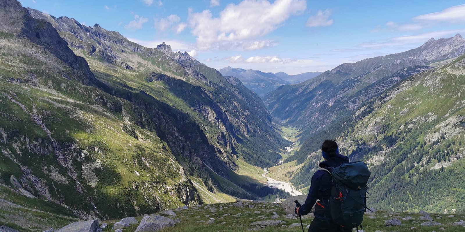
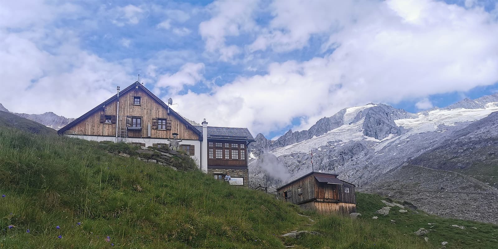
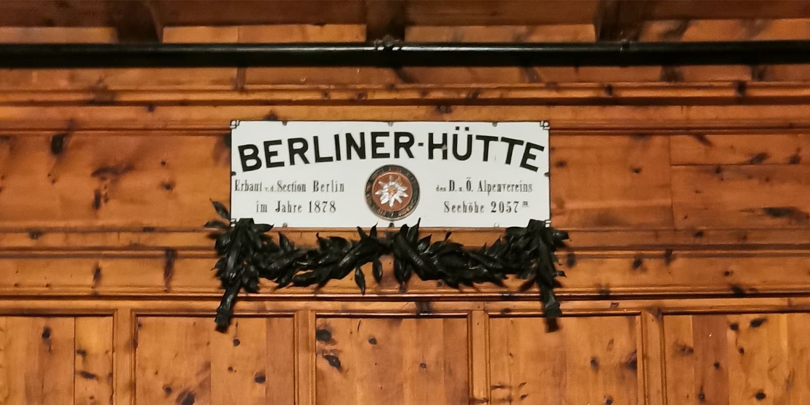
The Berliner Höhenweg isn’t located in the German capital as the name would suggest, but in the Zillertal Alps, as it is also known as Zillertaler Runde. It’s a challenging hike of 85 kilometers through high alpine terrain. However, the effort of conquering the 6,600 meters is rewarded with spectacular views of green valleys, snow-covered peaks, and stops at rustic mountain huts. A particular highlight is the listed Berliner Hütte, with its wood-paneled walls and magnificent chandeliers.

Merle profile picture

Merle Wünderling

Merle is an outdoor enthusiast who’s passionate about hiking, rock climbing, mental health, and sustainability. Born in Germany but at home in the world, she’s hiked trails in New Zealand (Abel Tasman Coast Track, Kepler Track), Europe (Rota Vicentina/ Fishermen’s Trail, Tour du Mont Blanc, GR20 Corse, Kungsleden… ), and the Balkans (Peaks of the Balkans). Over the years she became a bit of a nerd, constantly improving her gear for upcoming hikes, such as GR11 Spain, Tour de Ecrins, Te Araroa, and the Transcaucasian Trail.

View profile

The Trail

To start the hike, you’ll begin in Finkenberg and turn right behind the Teufelsbrücke (bridge) in the direction of Dornau and Brunnhaus. Shortly after the sports ground, the ascent begins via the Hermann-Hecht-Weg (No. 533). The route zigzags through the forest up to the Kraxentrager, and after about 1,000 meters of climbing, you’ll reach the Gamshütte (1,921 meters) with its unique outdoor shower.

The next day, you’ll set out via the Feldalm and Pitzenalm, to the Milchanger and Wesendlekarsee (lake) and eventually up to the Friesenberghaus (2,477 metres). In addition to breathtaking views, there’s plenty of wildlife. Next to cows and sheep, you might be able to encounter some marmots.

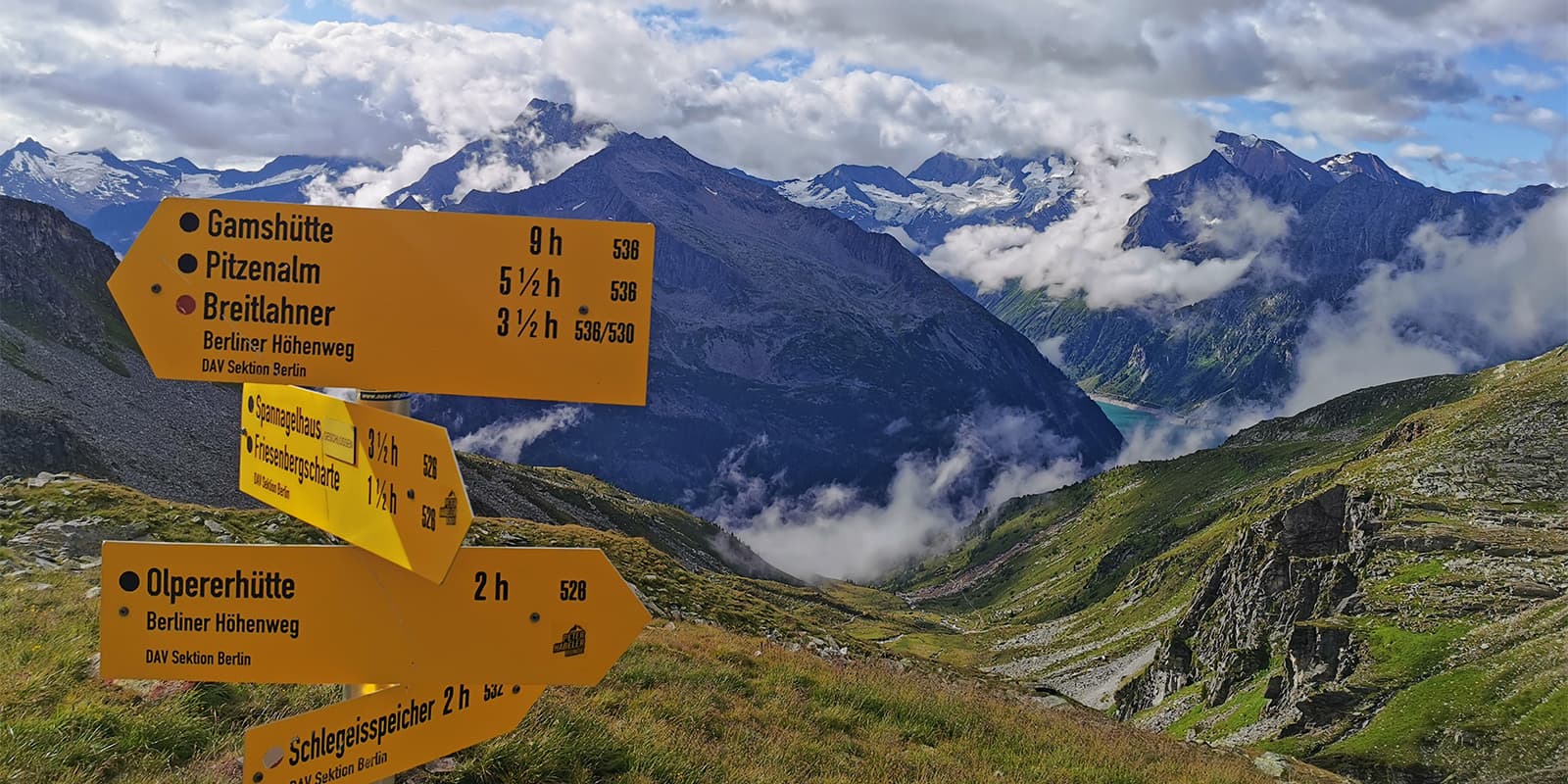
Stage 3 begins with a short descent followed by a steep climb up to Friesenbergscharte. The route then leads across green meadows to the Olpererhütte (2,389 meters) and steeply down to the turquoise-blue Schlegeisspeicher. There are restaurants along the riverside road where you can stop for refreshments. The route continues along the river until a steep path leads up to the Furtschaglhaus.

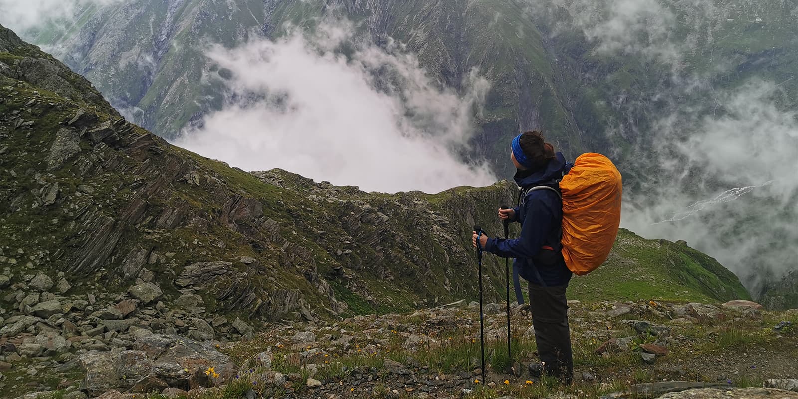
Next, you’ll experience the most challenging stage, which requires surefootedness and a strong head for heights. From the Furtschaglhaus, the route leads up to the Schönbichler Scharte (3,060 meters) over stone slabs and passages secured by wire ropes. In good weather, the summit has breathtaking views of the snow-covered peaks of the surrounding mountains. On the descent, there are more passages secured by wire ropes to overcome before continuing along the ridge to the bottom of the Garberkar and the northern lateral moraine of the Waxeggkee. From here, an ascending path leads over glacier-polished slabs to the Berliner Hütte (2,044 meters). It is both a listed building and also the largest Alpine Club hut in Tyrol.

From the Berliner Hütte, the route leads to Schwarz See, a lake, and steeply up to Rosskar and from there on to Mörchenscharte. The trail leads down to the Floitengrund and over the Floitenbach. On the other side, the ascent to the Greizer Hütte (2,227 meters) awaits, which will make the hearts of people on a vegetarian or vegan diet beat faster with the menu.

The next day, the route leads from the Greizer Hütte up to the Lapenscharte. The descent leads through the rope-secured gorge of the Eisenklamm and onwards over stone slabs, meadows, and suspension bridges to the Kasseler Hütte.

The penultimate stage continues on the Aschaffenburger Höhenweg over a challenging and quite long day’s stage to the Karl-von-Edel-Hütte.

On the descent from the Karl-von-Edel-Hütte to Mayrhofen in the Zillertal valley, there are a few more meters in altitude to conquer, which can be easily managed thanks to the serpentines.

Stages

The entire Berliner Höhenweg/ Zillertaler Runde consists of 8 stages. You’ll stay at mountain huts along the way, which means you won’t have too much flexibility for shortening or lengthening each stage. But, if you’re short on time you can decide the length of the tour for yourself as there are descents into the valley from all huts.

8-stage itinerary

Stage 1:

Finkenberg – Gamshütte, 8 km | 5 mi

Stage 2:

Gamshütte – Friesenberghaus, 14 km |  9 mi

Stage 3:

Friesenberghaus – Furtschaglhaus 14 km |  9 mi

Stage 4:

Furtschaglhaus – Berliner Hütte, 8 km | 5 mi

Stage 5:

Berliner Hütte – Greizer Hütte, 9 km | 6 mi

Stage 6:

Greizer Hütte – Kasseler Hütte, 10 km | 6 mi

Stage 7:

Kasseler Hütte – Karl-von-Edel-Hütte, 13 km | 8 mi

Stage 8:

Karl-von-Edel-Hütte – Mayrhofen, 7 km | 4 mi

Accommodations

When hiking this trail, you’ll stay in mountain huts, maintained by the German Alpine Club/ Deutscher Alpenverein (DAV), alongside the trail. Make sure to book your overnight stay in advance through the individual website of each hut.

Stage 1:

Gamshütte

Stage 2:

Friesenberghaus

Stage 3:

Furtschaglhaus

Stage 4:

Berliner Hütte

Stage 5:

Greizer Hütte

Stage 6:

Kasseler Hütte

Stage 8:

Mayrhofen

Best time of the year

The best time of the year to hike Berliner Höhenweg / Zillertaler Runde is usually from July to September when the paths are clear of snow and the huts are open.

Safety & Gear

The Berliner Höhenweg/ Zillertaler Runde is a challenging hike, that requires experience in alpine terrain, surefootedness, and proper equipment.

Invest in the right hiking gear, including comfortable, supportive footwear with a good grip, proper hiking clothing, such as warm base layers and a hardshell rain jacket, hiking poles, a well-fitted backpack, and essential equipment like maps, GPS devices (or the GPX on your mobile), and a first-aid kit. Check out our comprehensive gear list for long-distance trails like this.

To stay overnight in the mountain huts, bring a light sleeping bag, in addition to the provided blankets, and ear plugs for a restful night.

The weather in the high mountains can change rapidly. Always check the trail conditions and local weather forecasts, be prepared for all conditions, including rain, sun, or snow and alter your itinerary if needed.

Stay properly hydrated and nourished. Check that you have enough water and snacks to keep up your energy levels and prevent dehydration and exhaustion. Bring at least two liters of water with you each day.

Respect the principles of Leave No Trace by minimizing your impact on the environment. Stick to designated trails, take all your trash with you, and show respect for wildlife and natural habitats (keep your distance, don’t feed them).

Good to know

The Zillertal Alps are a popular destination among hikers all over the world. Make sure you book the mountain huts a few months in advance to secure your spots each night. The huts can be booked through their website or by sending them an email.

Also, consider becoming a member of the German Alpine Club/ Deutscher Alpenverein (DAV) to help maintain the huts and trails and benefit from discounts on overnight stays in DAV huts.

route
Point to point
Highest point
3.104m (10.183 ft)

Want to submit a trail or make this page more complete?

Always read the disclaimer

Terms of Use: important to all visitors on this website. We strive to publish high quality content and information on this website. However it’s always possible that we’re missing out on some crucial information. In spite of the fact that this route, associated GPS track (GPX and maps) were prepared under diligent research by the specified contributor and/or contributors, the accuracy of such and judgement of the author is not guaranteed. Therefore, hiking-trails.com and contributors are in no way liable for personal injury, damage to personal property, or any other such situation that might happen to individuals hiking or following this route. Should you choose to hike this trail, this is always at your own risk. Check out our guidelines for safety hiking and Leave No Trace principles at the hiking 101 page.

Download GPX

Join the community!

Login or create a FREE account 😊

With an account you can:

Download GPX files

Pin trails to your wishlist

Mark trails as hiked by you

Rate hiking trails

Comment on trails, blogs and gear reviews

Happy trails!
Login

Don't have an account yet? Register here