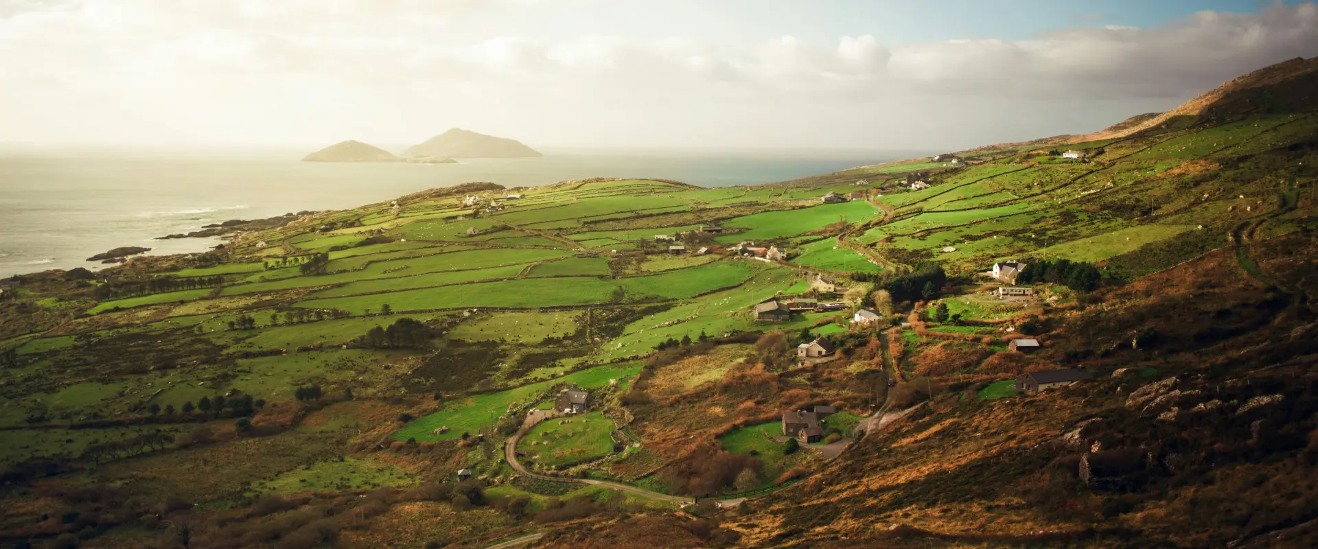
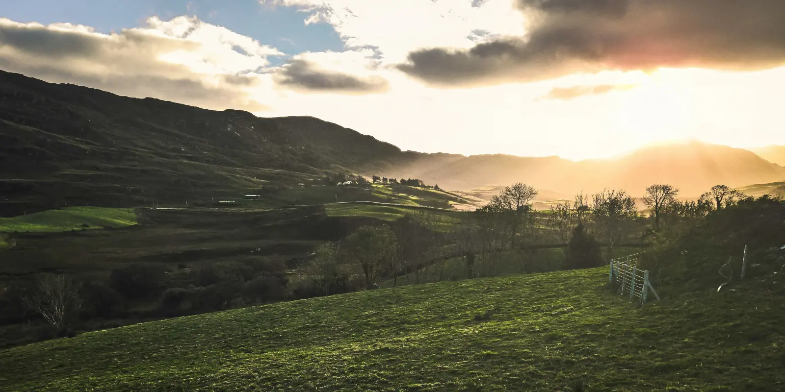
The Beara Way usually begins in Glengarriff, a small cozy village at the eastern tip of the Beara Peninsula. This village is easily accessible by road and offers a great starting point with its scenic location between mountains and the sea. Glengarriff is also a perfect spot to explore Garinish Island before starting your hike.
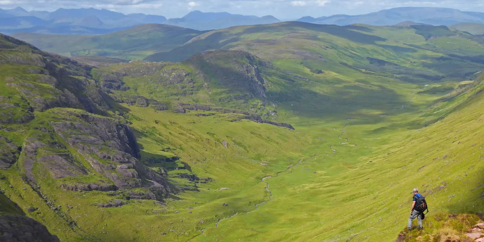
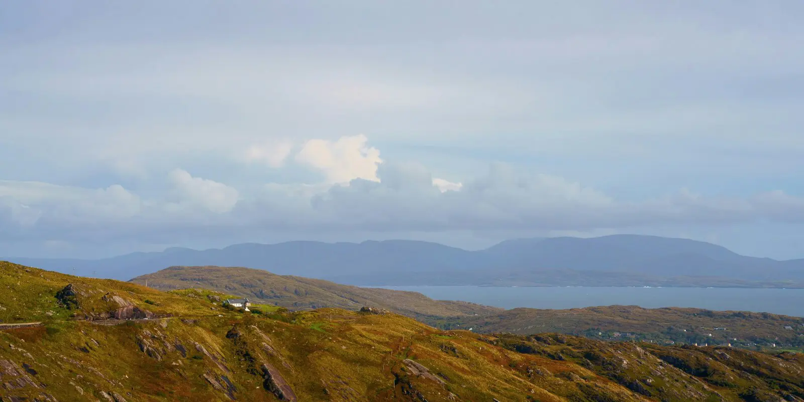
The first section of the Beara Way leads from Glengarriff to the small village of Adrigole. This stage introduces hikers to the landscape of the Beara Peninsula, with views of Bantry Bay and the Caha Mountains. The path is mostly well-marked and follows quiet country roads and mountain trails.
From Adrigole, the trail continues westward to the fishing town of Castletownbere, one of Ireland’s largest whitefish ports. This is a bit of a longer stretch than the first stage offering coastal views and passes close to Hungry Hill, the highest peak in the Caha Mountains. Castletownbere is a great place to rest and explore the local seafood and typical Irish pub scene.
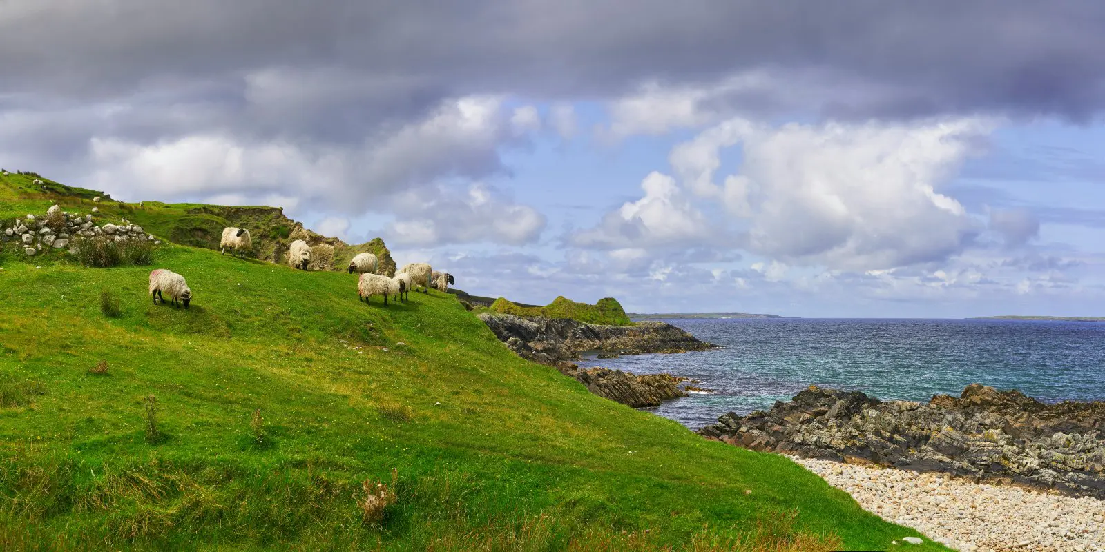
This next stage of the trail takes hikers from Castletownbere to the historic mining village of Allihies. Along the way, you’ll pass Bere Island, an optional detour via ferry, and explore the copper mines that once dominated the region. The coastal scenery on this stage is striking, with views out to the Atlantic Ocean.
Leaving Allihies, the trail leads to Eyeries, a charming village known for its brightly painted houses. This stage is relatively easy, following country roads with spectacular views of Coulagh Bay and the surrounding mountains. Eyeries is a great place to rest after a few days on the Beara Way.
The route from Eyeries to Ardgroom takes hikers through a quieter part of the peninsula, covering a lot of kilometers of coastal paths and quiet lanes. This stage offers a more remoteness, with chances to see wildlife and explore ancient stone circles and standing stones along the way.


