About the Almagell High-Altitude Trail

Saas-Fee
country
Switzerland
length
10 km(6 mi)
Type of trail
Day hike
difficulty

Difficulty is highly personal. Be aware of the weather conditions as bad weather turns easier trails in difficult trails especially in the mountains.

Moderate
accommodation

Lodging means a mix of hotels, hostels or AirBnB’s.

Mountain huts, Lodging
Elevation gain
204 m(669 ft)
terrain
Mountains
remoteness
None of the time
Show more

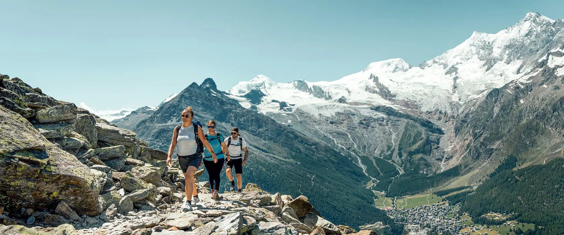
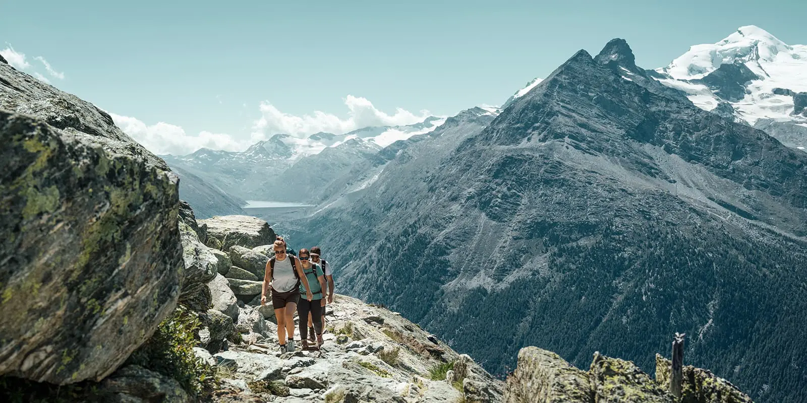
The Almagell High-Altitude Trail is a day hike from the village of Saas-Almagell, which is located in the south of the Saas Valley in the Swiss canton of Valais. It is worth a visit at any time of year! While in winter the snow-covered slopes make the hearts of winter sports enthusiasts beat faster, hikers can also get their money’s worth here all year round.

From easy day hikes to challenging long-distance hikes, there is something for everyone here. In addition, there are numerous spas and wellness baths where you can relax.

Merle profile picture

Merle Wünderling

Merle is an outdoor enthusiast who’s passionate about hiking, rock climbing, mental health, and sustainability. Born in Germany but at home in the world, she’s hiked trails in New Zealand (Abel Tasman Coast Track, Kepler Track), Europe (Rota Vicentina/ Fishermen’s Trail, Tour du Mont Blanc, GR20 Corse, Kungsleden… ), and the Balkans (Peaks of the Balkans). Over the years she became a bit of a nerd, constantly improving her gear for upcoming hikes, such as GR11 Spain, Tour des Ecrins, Te Araroa, and the Transcaucasian Trail.

You can follow Merle on Instagram @merlewunderkind.

View profile

The Trail

The Almagell High-Altitude Trail is a varied 10.4 km (6.5 mi.) day hike for the whole family. It starts at Kreuzbogen Lake and leads along the Alpine flower trail, which absolutely lives up to its name. Colorful flowers, such as edelweiss, gentian, and many more, line the way to the spectaculär Triftgrätji viewing point.

From here, the hike continues rather flat through the beautiful Almageller valley until it reaches the Almagelleralp. At this point, the Almagelleralp mountain hotel is worth a break before the Almagell High-Altitude Trail follows the stream down to Saas-Almagell. If you’re feeling like a challenge, there’s a technically more difficult alternate trail down, the Adventure Trail. It leads over two suspension bridges, ladders, and stairs to Furggstalden. However, this extension requires surefootedness as well as a head for heights.

Safety & Gear

Take as little as possible and as much as needed: Wear layers, bring sturdy footwear, and be prepared for rain and shine. You can check out our day-hiking gear list for more inspiration.

The trail is well marked but it is always wise to bring an additional map or GPX. If you walk by yourself, share your plans with somebody else for your own safety. Fill up your water before the hike and make sure to take enough drinking water for the day. Finally, taking a small first aid kit can make or break your experience if something happens, so it’s worth the extra weight.

Difficulty

The Almagell High-Altitude Trail is a moderately challenging hiking trail without technical difficulties. It is therefore suitable for the whole family. If you’re planning to hike this trail, a certain level of fitness will make it more enjoyable. Training your endurance, strength, and balance are all ways to prepare for the trail!

Good to know

The Almagell High-Altitude Trail in Saas-Fee/Saastal can be reached easily by public transport. The SBB takes you to Visp, where you change to the bus 511 towards Saas-Fee until the Bergbahnen stop in Saas-Grund.

Those who come by car take either the Furka Pass/ Furka car transport from the east or the Simplon Pass/ Simplon car transport from the south. There are parking slots at the valley station of the Hohsaas Mountain Railway.

route
point-to-point
highest point
2.522m (8.274 ft)

Want to submit a trail or make this page more complete?

Always read the disclaimer

Terms of Use: important to all visitors on this website. We strive to publish high quality content and information on this website. However it’s always possible that we’re missing out on some crucial information. In spite of the fact that this route, associated GPS track (GPX and maps) were prepared under diligent research by the specified contributor and/or contributors, the accuracy of such and judgement of the author is not guaranteed. Therefore, hiking-trails.com and contributors are in no way liable for personal injury, damage to personal property, or any other such situation that might happen to individuals hiking or following this route. Should you choose to hike this trail, this is always at your own risk. Check out our guidelines for safety hiking and Leave No Trace principles at the hiking 101 page.

Download GPX

Join the community!

Login or create a FREE account 😊

With an account you can:

Download GPX files

Pin trails to your wishlist

Mark trails as hiked by you

Rate hiking trails

Comment on trails, blogs and gear reviews

Happy trails!
Login

Don't have an account yet? Register here