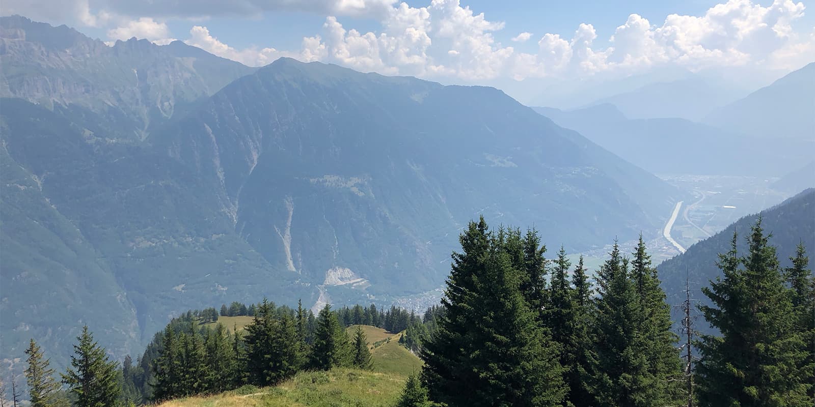
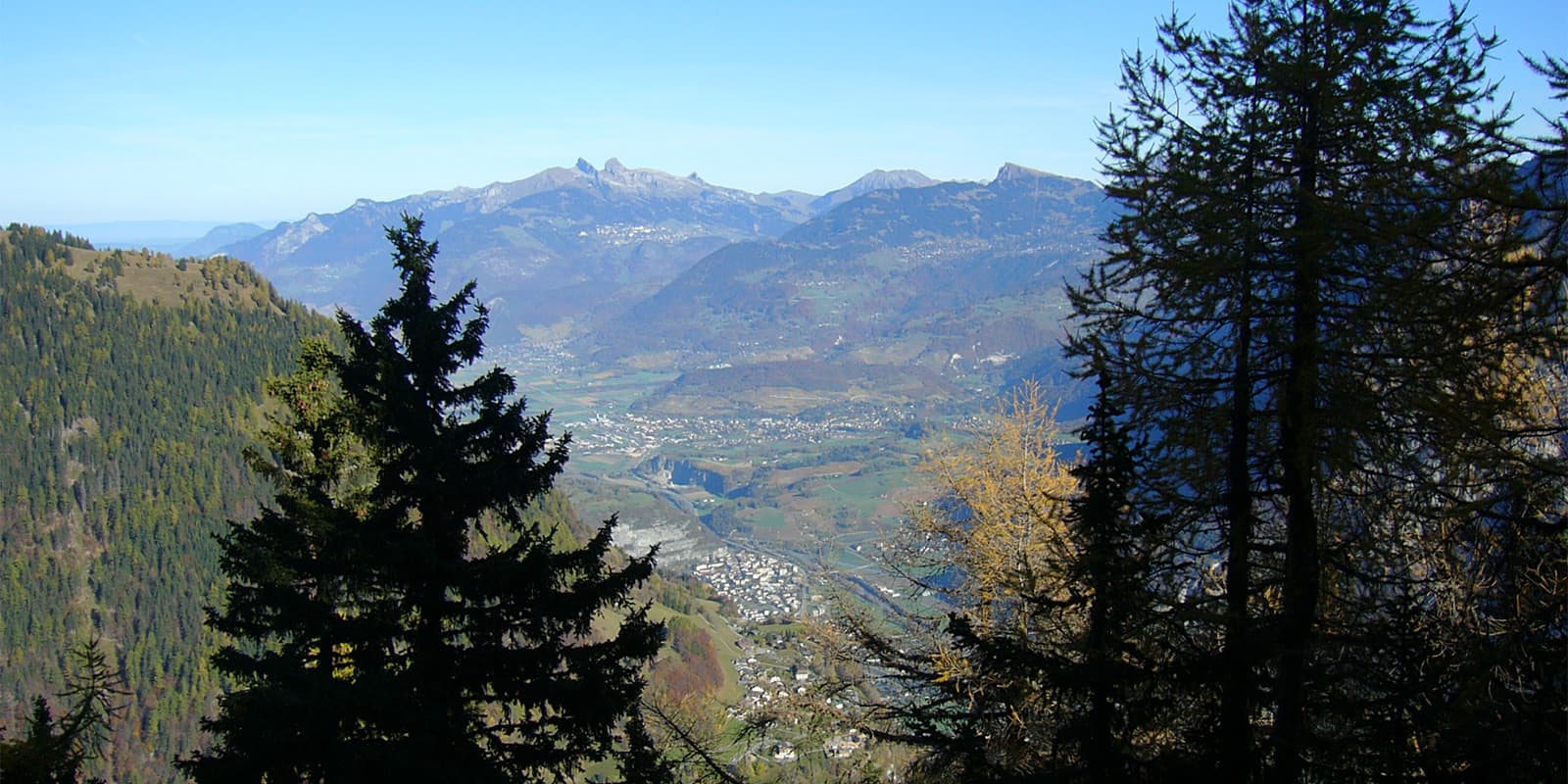
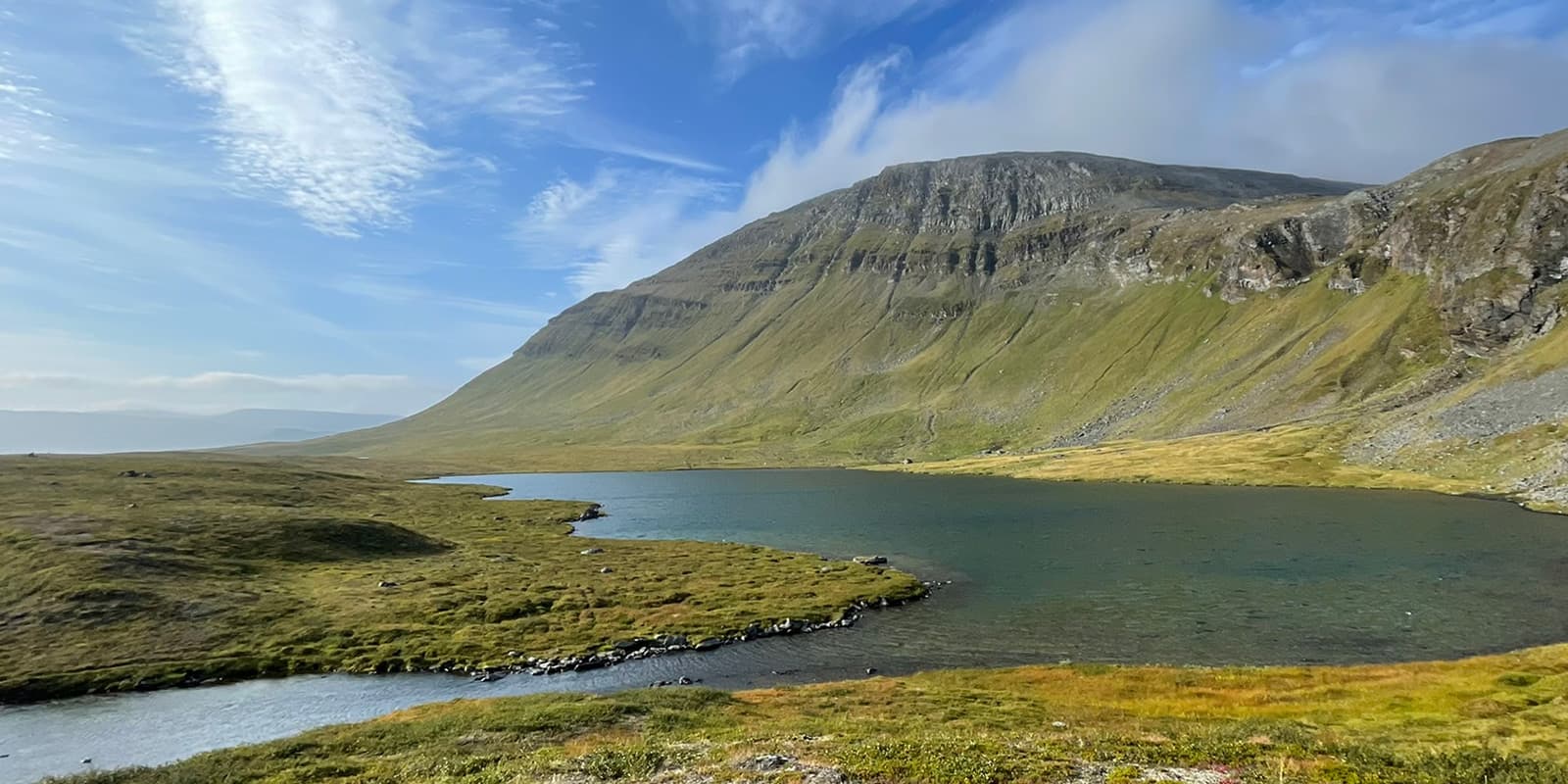
The Aiguille de Mex hike is the best way to get unobstructed views of the panorama that stretches from the Lake Geneva Basin to Mont Blanc. With its amazing perspectives of the surrounding regions on all sides, the summit is one of the most beautiful viewpoints in the entire region. Starting from the village of Mex, the climb will take you on a transition between forests and pastures.
Aiguille de Mex
The Trail
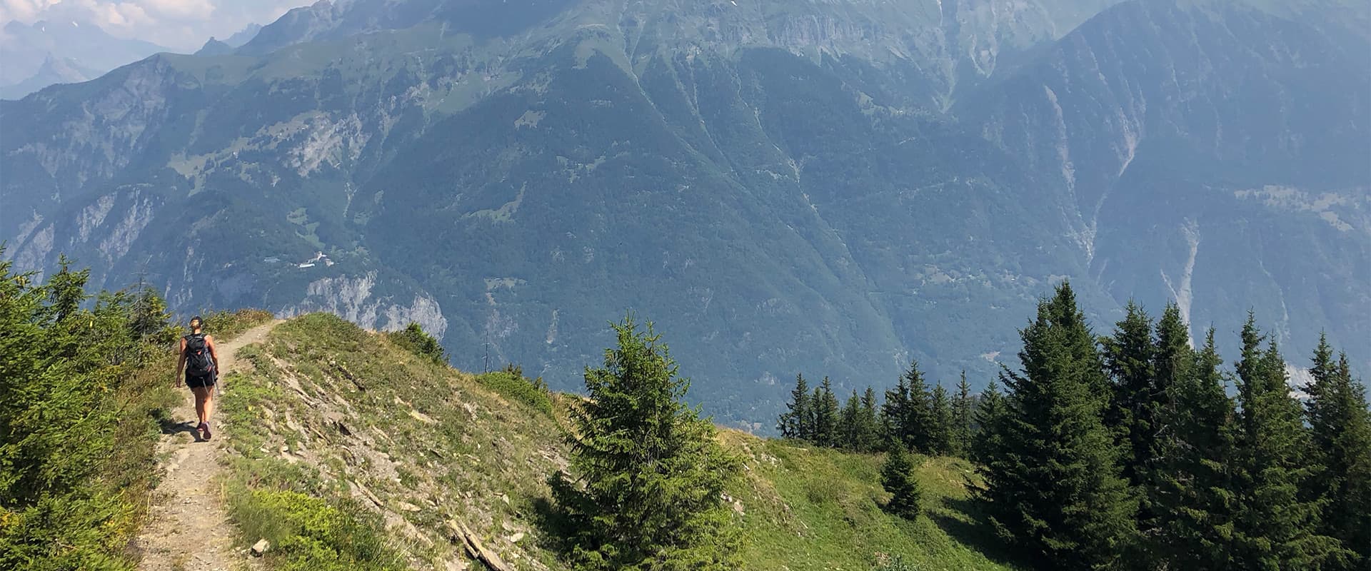
The trailhead is in the village of Mex, which is located at an altitude of 1118 meters. From the parking lot at the top of the village, you’ll follow the signs to begin a gradual climb through the forest. Continuing the ascent, you will reach the Planet’s Mountain pastures at about 1530 meters. This peaceful hamlet is surrounded by green pastures and is a great stop to catch one’s breath.
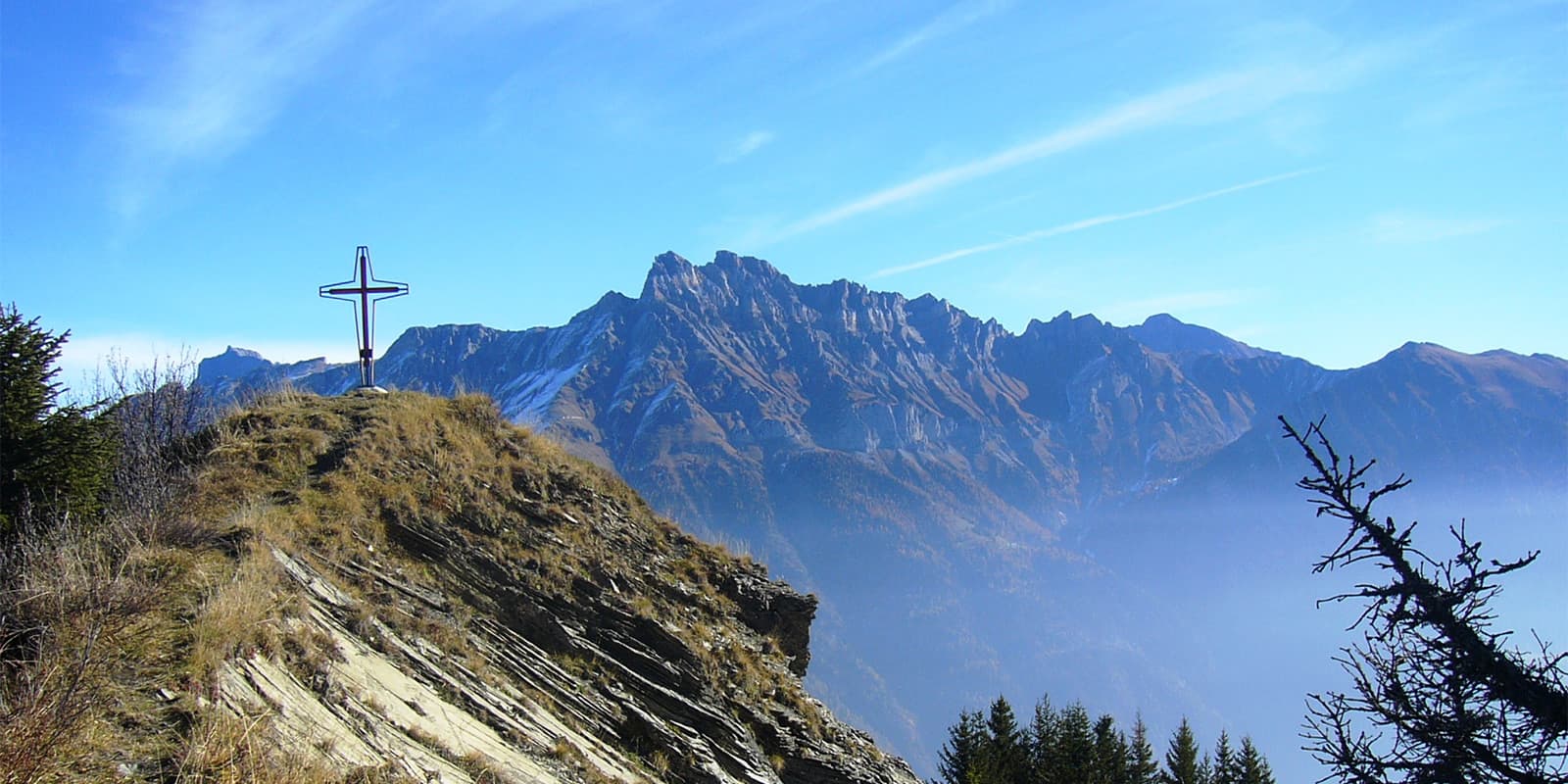
The highest point of the hike is the Aiguille de Mex, at 1866 meters above sea level. This spectacular belvedere has a 360° view of the Dents du Midi, the Dents de Morcles, and the Rhône plain. After you take your time enjoying the fruits of your labor, the return begins with a descent to the Planets. You’ll take the same path as on the way up, this time admiring a different view of the surrounding fields and woods. It’s a good chance to take a break before following along. ͏
From Les Planets, turn towards the Mayeux huts, which are about 1243 meters away. This path crosses typical forest paths and mountain pastures, showing a quiet and rural environment. The descent is easy and quiet. ͏͏Finally, you’ll return quietly to the starting point, as the loop ends in the turn back to the village of Mex by a marked pathway which winds through the forest.
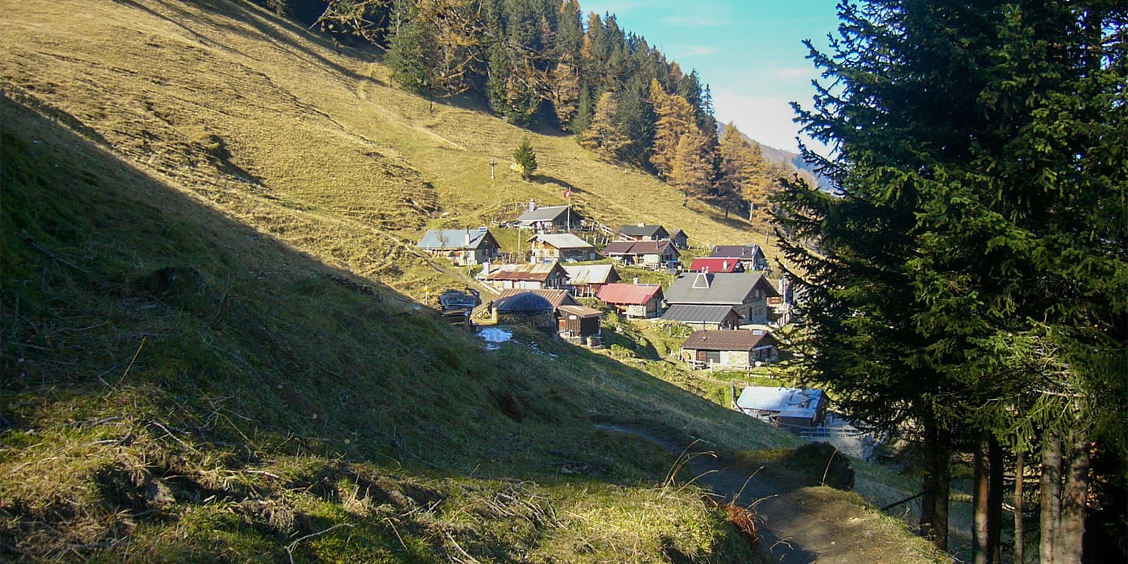
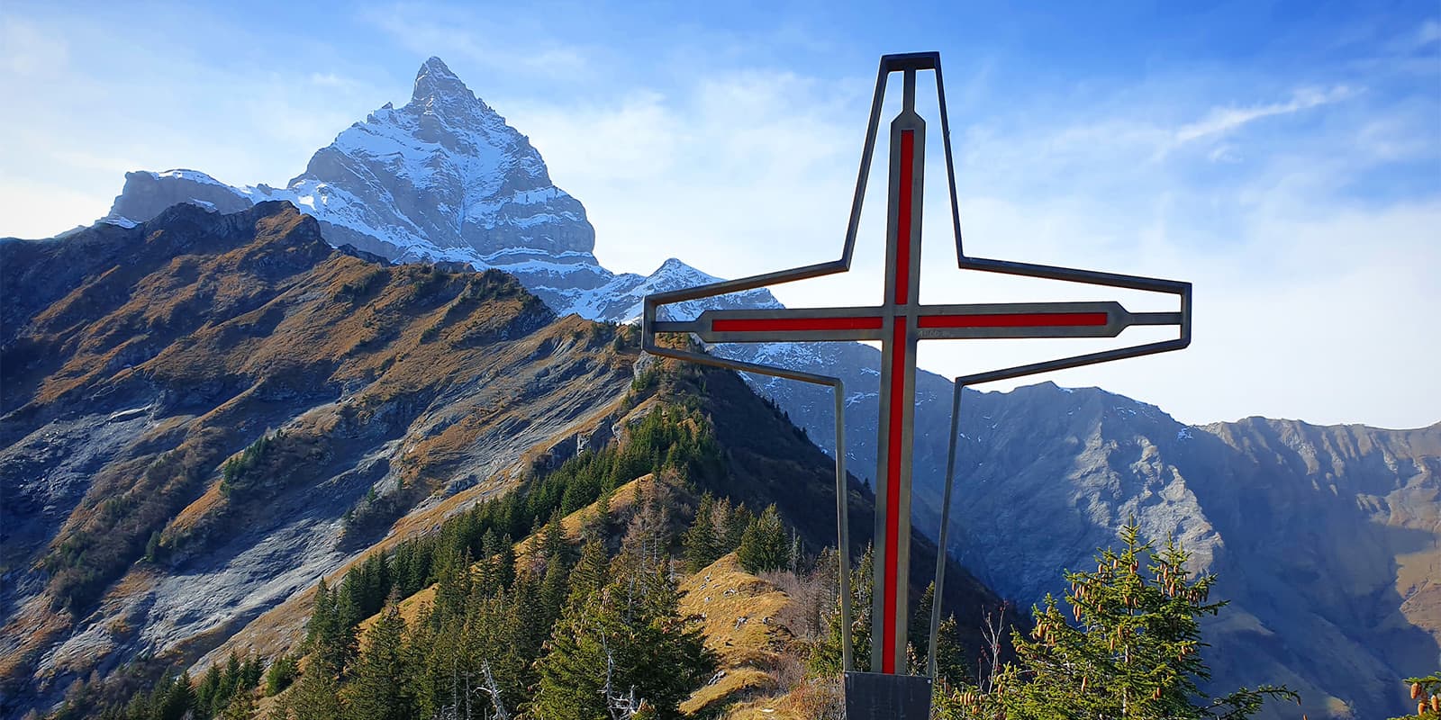
Photo gallery
Accommodations
The hike takes approximately 4 hours, which can be completed within a single day without the need for overnight lodging. However, if you wish to explore the area further, you might consider finding accommodation at the Auberge de l’Armailli.
Best time of the year
The best time to do this hike is usually from March to October. During this period, you can enjoy a landscape that changes with the seasons and will shift in ecosystem as you hike.
Weather conditions are usually more favorable during these months, making it easier to access the summit and offering the best possible panoramic views. However, it is also possible to access it in winter, provided you are well equipped for winter hikes.
Safety & Gear
The Aiguille de Mex is a moderate day-hike, which means you can prepare for it like you would prepare for any other. Make sure you bring layers, as it can be windy at the summit. Additionally, you’ll want to have the GPX downloaded offline to your device, and bring plenty of water and snacks.
Taking a first aid course before heading into the mountains can also be a good choice, just to confirm you know what to do in case of an emergency. Coupling that knowledge with a mini first aid kit is a strong bet as well. The good news is that this hike is about 4 hours round trip, so you’ll never be too far from civilization.
Difficulty
The Aiguille de Mex is rated as a moderately difficult day hike. The difference in altitude is the main difficulty for new hikers because, from the start, the path is very steep. The difficulty is classified as T2 on the SAC (Swiss Alpine Club) scale. It is a trail with an uninterrupted route and steady climbs. However, the terrain is sometimes steep, and there is a risk of falling.
To train for a hike like the Aiguille de Mex, try taking daily hikes or long walks. If you don’t live near a hilly place, then loading up a backpack for extra strength training can be helpful. And if you want to increase your training even more, try spending time on the stairmaster or treadmill at an incline. Additionally, working on balance and mental endurance will help with the long ascent.
Good to know
Dogs are welcome and can be let loose in some places. The hike is accessible by public transport from St-Maurice train station. Some parts of the hike are unsigned or unmarked; it is important to have the GPX route with you to be able to continue the climb.
Useful links
Terms of Use: important to all visitors on this website. We strive to publish high quality content and information on this website. However it’s always possible that we’re missing out on some crucial information. In spite of the fact that this route, associated GPS track (GPX and maps) were prepared under diligent research by the specified contributor and/or contributors, the accuracy of such and judgement of the author is not guaranteed. Therefore, hiking-trails.com and contributors are in no way liable for personal injury, damage to personal property, or any other such situation that might happen to individuals hiking or following this route. Should you choose to hike this trail, this is always at your own risk. Check out our guidelines for safety hiking and Leave No Trace principles at the hiking 101 page.
Download GPX


