About the Pamir Trail

country
Tajikistan
length
1297 km(806 mi)
Type of trail
Thru-hike, Long-distance
difficulty

Difficulty is highly personal. Be aware of the weather conditions as bad weather turns easier trails in difficult trails especially in the mountains.

Strenuous
accommodation

Lodging means a mix of hotels, hostels or AirBnB’s.

Wild camping, Lodging
Elevation gain
63350 m(207841 ft)
terrain
Mountains
remoteness
Most of the time
Show more

The Pamir Trail is a wild long-distance hiking route across the mountains of Tajikistan, stretching from the border of Uzbekistan in the northwest to the southern terminus on the border with Afghanistan. The Pamir Trail was completed in 2024, and a thru-hike is now possible. Some parts of the route are suitable for trekkers with some experience. Other parts are very hard with pathless terrain in extremely remote areas and therefore only recommended for very experienced thru-hikers.

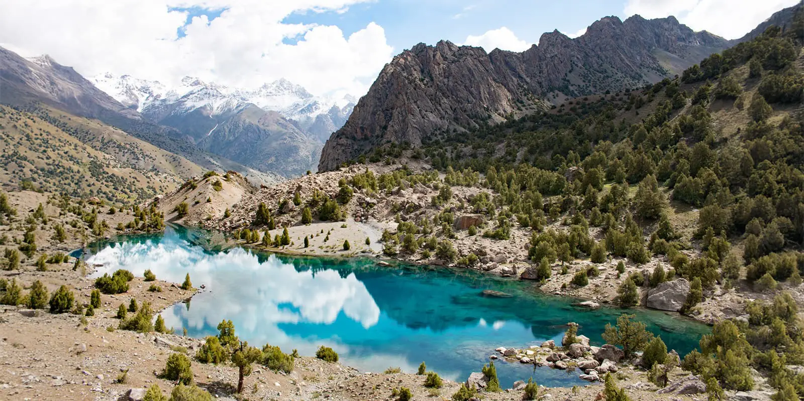
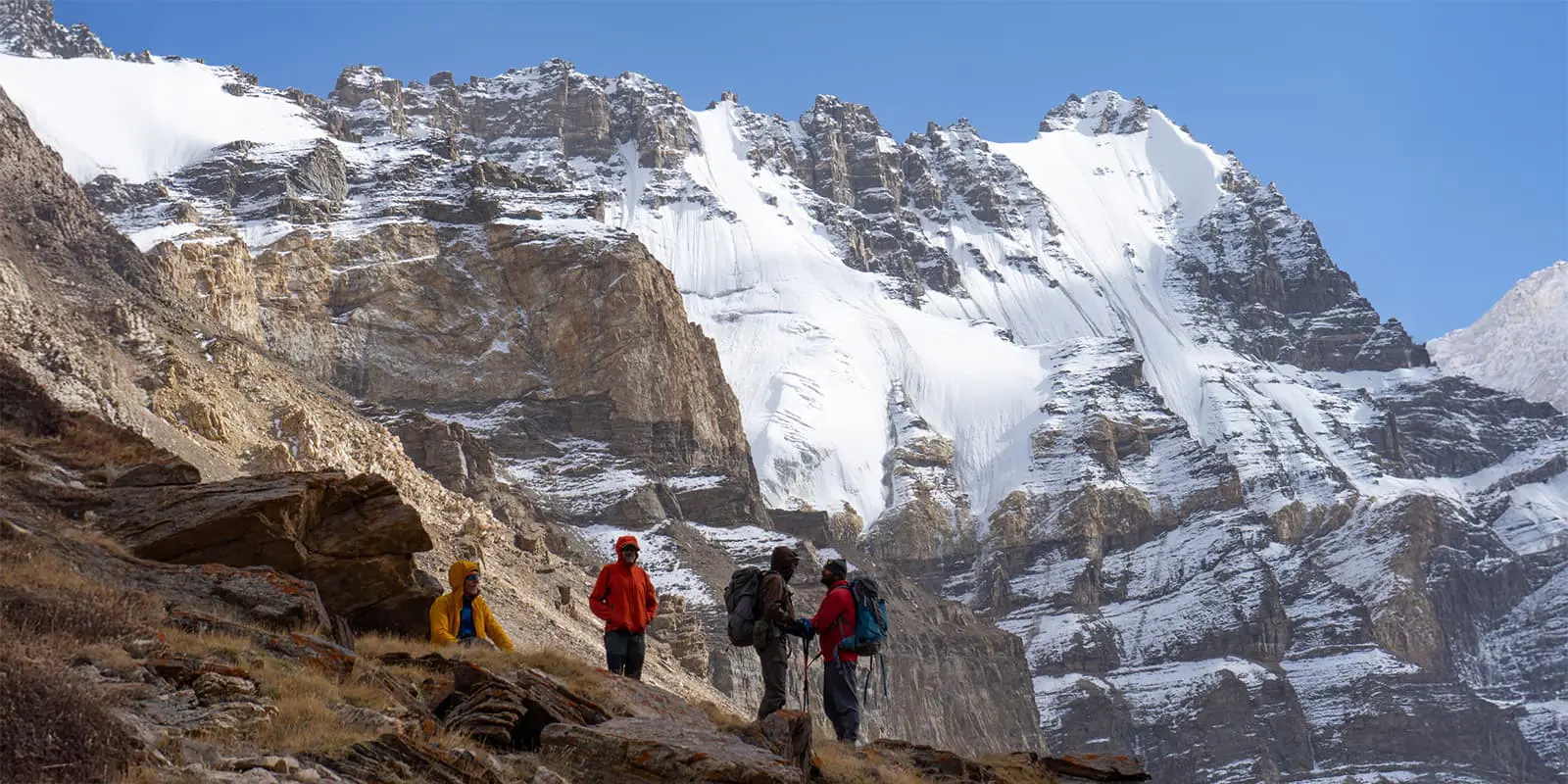
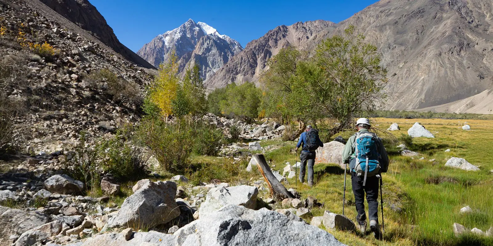
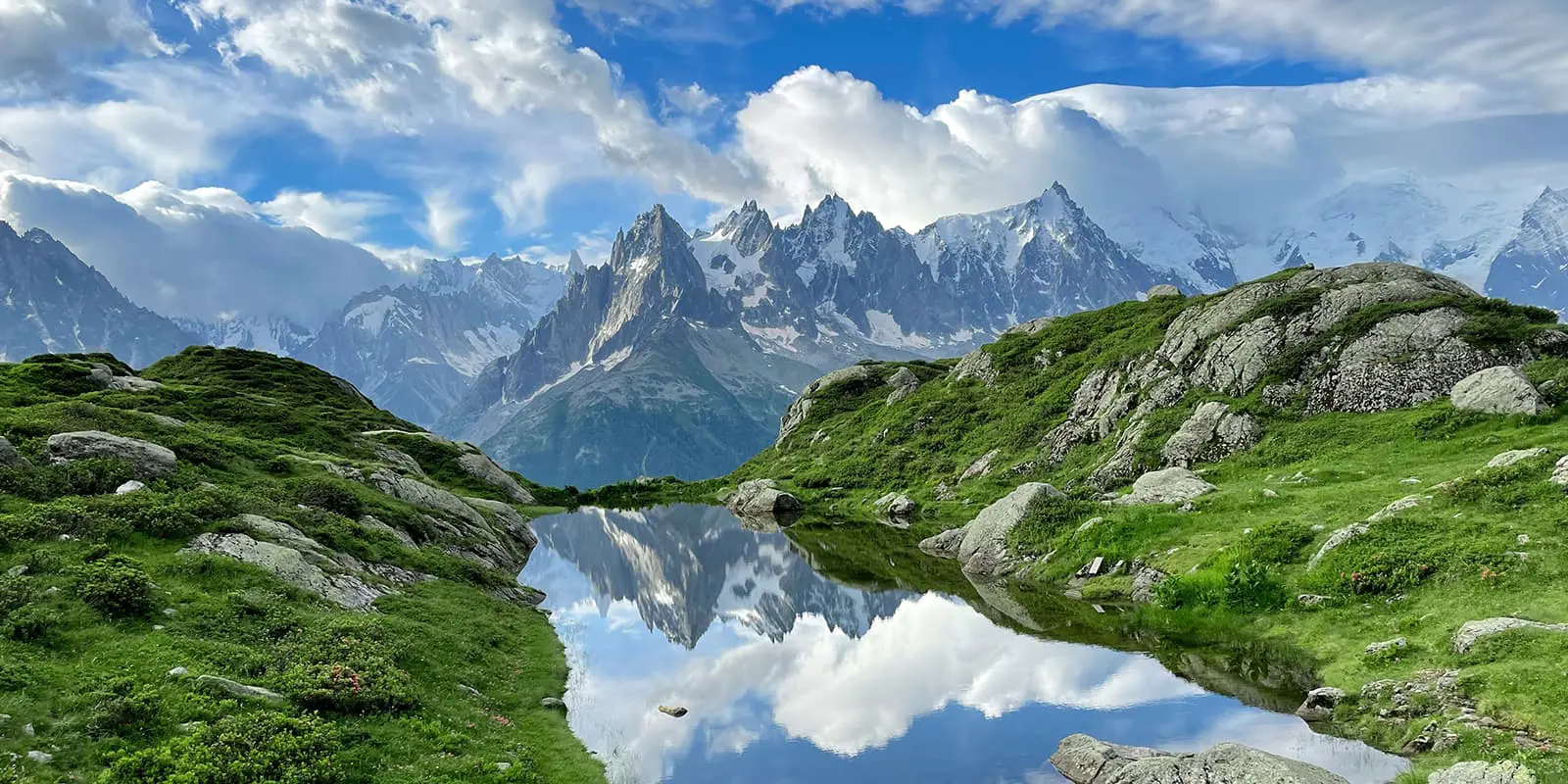
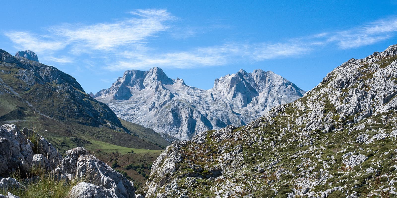
The Pamir Trail is almost 1300 kilometers (806 miles) long and divided into 9 sections. This allows you to do parts of the route, suited to the appropriate level. The landscape is very diverse, from rugged glaciated peaks above 6000 meters to high altitude desert, dotted with alpine lakes.

Jan Bakker

Jan Bakker

Jan Bakker is the founder of the Pamir Trail. He also designs and leads pioneering trekking expeditions in regions like East Africa, Iraqi Kurdistan, and the Pamirs. For Tajikistan, he has written a trekking guide, published by UK publisher Cicerone. He still dreams of creating a trail connection stitching up the Pamirs, the Hindu Kush, the Karakoram, and the Himalayas. Jan lives with his family in Uganda. Follow Jan on Instagram @jb37north.

View profile

The Trail

The mountains of Tajikistan are some of the least visited mountains in the world. While still considered one of the Greater Ranges with summits exceeding 7000 meters (23,000 feet), they lack the fame of the Himalayas and the Andes. Up until recently, it was relatively hard to visit the Tajik mountains, with red tape, poor infrastructure, and a language barrier putting up barriers for people to visit. Besides this, even avid hikers had no idea that Tajikistan even existed. In the past decade, things have changed slowly for the better. Visa regulations have been eased, roads are being improved throughout the country and the younger generation seems to be keen to speak English.

An impressive 93% of Tajikistan’s landmass is considered mountainous, making the country one of the highest countries in the world by elevation (3,186m/10,450 ft) just behind Nepal and Bhutan. The Pamir Trail crosses roughly two main mountain ranges. The Pamir-Alay in the north of Tajikistan, which connects with the Tien Shan in Kyrgyzstan, and the Pamirs in the southeast which extend into Afghanistan, China, and even a small area in Pakistan.

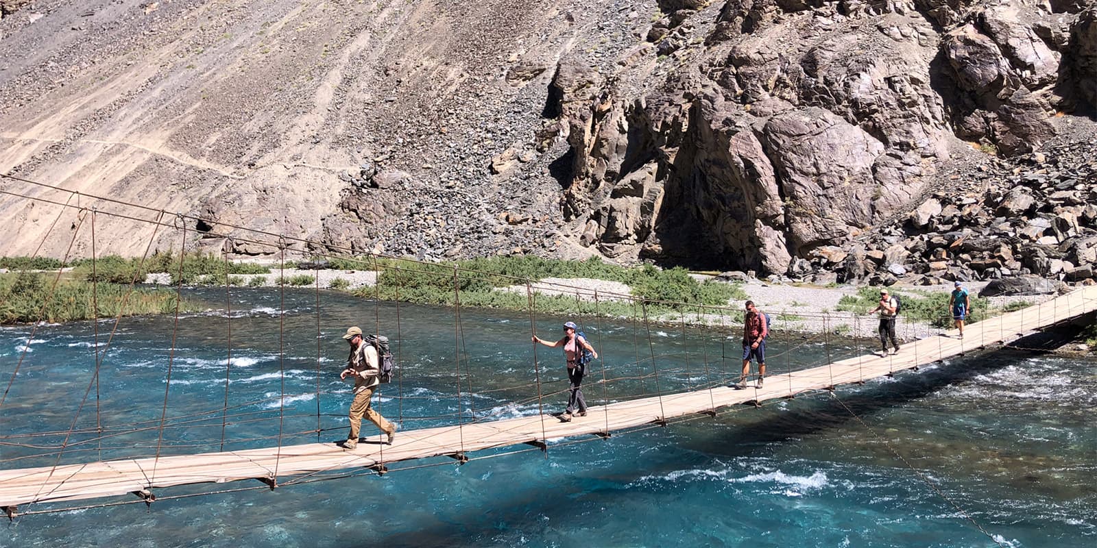
The mountains of Tajikistan are wild and rugged, but not inhabited. Besides small villages in the lower valleys, you can find many summer settlements in the higher parts. Shepherds roam to extreme elevations up to nearly 5000 meters (16,400 feet) in search of good grazing grounds for their livestock. Encounters with the shepherds are an integral part of the Pamir Trail experience, sharing bread, a bowl of homemade yogurt, and of course, a cup of tea. It helps to learn a few words of Tajik and/or Russian.

Although technically the Pamir Trail could be hiked in both directions, I recommend you hike it in a north-south direction. This has mainly to do with the timing to cross the big rivers in the northern Pamirs.

Section 1

Officially the Pamir Trail starts in the village of Shing, close to the small city of Penjikent and the border with Uzbekistan. The trail winds across the Fann Mountains, Tajikistan’s most popular trekking destination. It passes awe-inspiring peaks, stunning lakes, and little mountain villages. You’ll also scale one of the highest passes on the Pamir Trail, the 4750m high Chimtarga pass. In the early season, it may still be covered in snow.

Section 2

From Sarytag, section 2 starts with the traverse of the Hissar Range. Things become more wild in terms of terrain and lack of habitation. You need to pack supplies for 6 days until you reach Hoji Obi Garm, a famous sanatorium where you can get yourself clean and enjoy a massage. From the road, it’s only a 20-minute drive to Tajikistan’s capital Dushanbe, which is ideal for a proper resupply run. The next 3 stages are some of the hardest on the Pamir Trail, with steep, loose terrain and the need for navigation. It gets a little easier towards the end of the section at Margheb in the Yagnob Valley.

Section 3-5

Section 3 is fairly short with the tricky Ghuzn pass (4030m) as the crux. Section 4 starts in Langar in the Zerafshan Valley. After an easy start through the broad valley, the trail turns south. The Pakshif-Ghorif pass takes you to the most remote village in Tajikistan, Ghorif. Another pass, called Beob, grants access to the Rasht Valley and you’re briefly back in the land of cars, shops, and tarmac. This is a great spot to organize a food resupply. Heading further east on section 5, the landscape changes and you’ll see that the mountains are more rolling and green. On the final stage of this section, you walk on a ridge looking at what’s to come: the Pamirs!

Section 6

Section 6 traverses the northern Pamirs and is by far the hardest section on the Pamir Trail. It starts moderately crossing the beautiful foothills of the High Pamirs until you reach Langar (Rasht). A spicy glaciated pass takes you to Rogha in the Obikhinob valley. After this, you enter the Pamir wilderness, with big rivers to cross. Very experienced trekkers should only attempt this section (stages 50-54) in September and early October when river levels are lowest. Walking along the steep river bed of the Bokhud River is challenging and slow-going. To top it off, you need the Starghi glacier to be dry to cross it without roping up. You can see and avoid crevasses when there’s no snow on the glacier. If there is snow, either you need to rope up or go back. Once you reach the Vanj valley you can enjoy easy hiking and staying in the pretty villages until you reach Vanj.

Section 7

Section 7 from Vanj to Nisur is the longest section on the Pamir Trail. Having said this, about 60% of this is on dirt roads and these stages cover big distances. The Gushkhun pass after Vanj is hard. There is no reliable water supply on the approach so carry lots of water. The descent is very hard, with steep landslide terrain to cross. The section eases after this with the beautiful glaciated Odudi pass (4,450m/14,600 ft) as the highlight. From Rushan (a great spot to get your resupply from Khorog or Dushanbe) there’s a (dirt) road hike up the Bartang valley. Honestly, this will probably be the best road hike you’ve done in your life.

Section 8

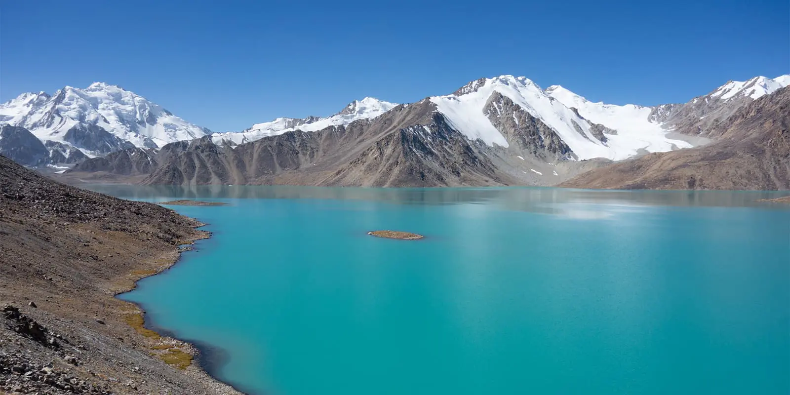
The stretch from Nisur to Bachor crosses the Rushan Range and might be the most beautiful section on the trail. It’s called the Pamir Lake District for a reason. You’ll pass Lake Sarez, a stunning sapphire blue lake formed by a huge landslide that occurred more than 100 years ago. The camp on the shores of Zarojkul at 4500m/14,760 ft is literally a highlight, being the highest camp on the trail and one of the most scenic as well. You might want to do the d-tour to the hot spring above Kauk. The section ends in the charming hamlet of Bachor, the perfect place to wind down and take a rest day (or two).

Section 9

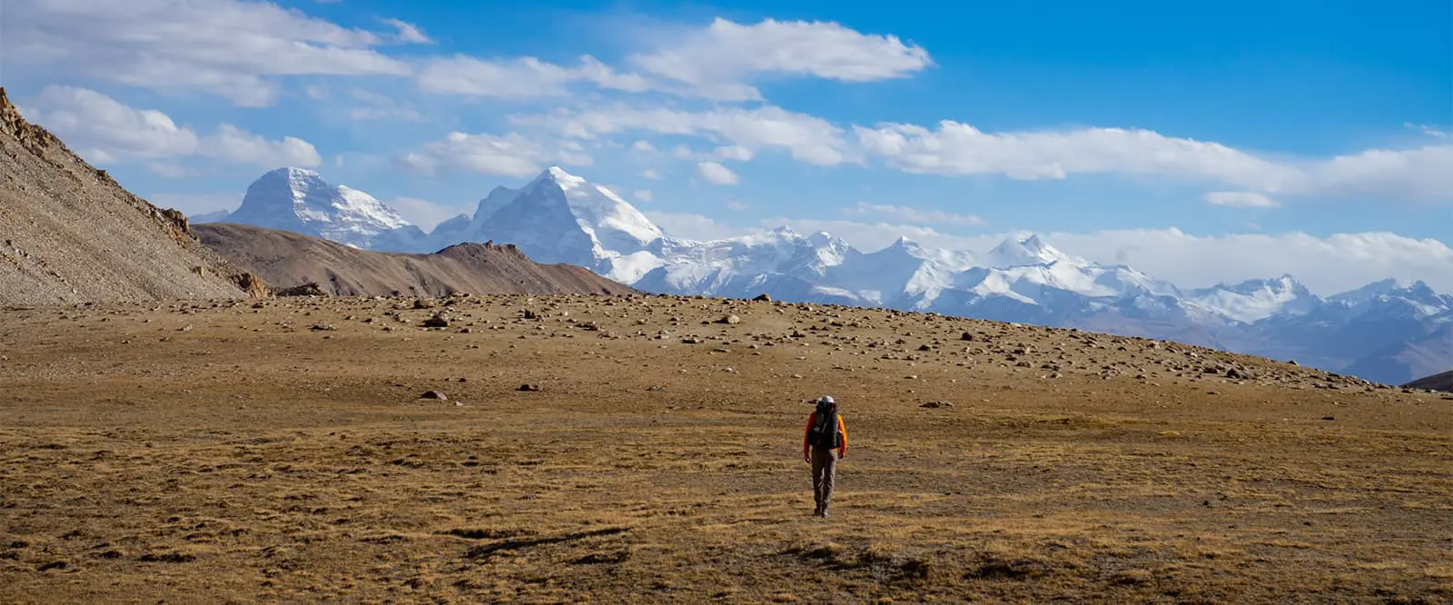
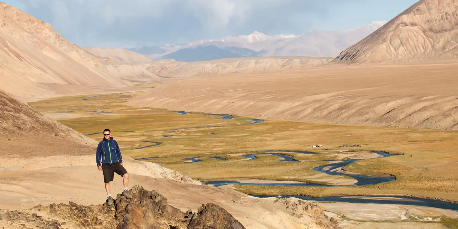
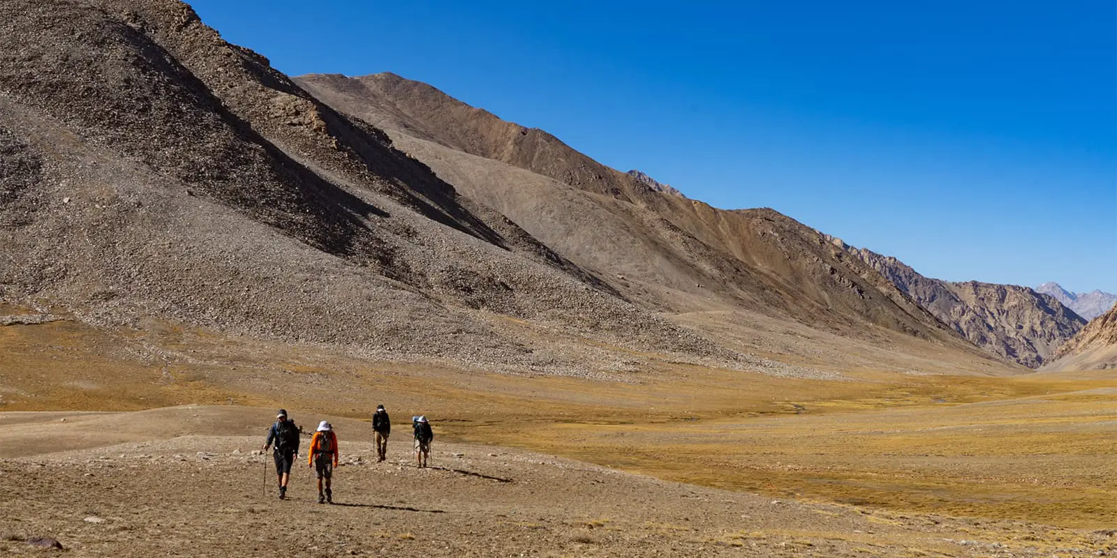
The final section takes you to the Wakhan Corridor and the border with Afghanistan. It is very different in terms of landscape. This is the western end of the Murghab plateau, a high-altitude desert-like plateau that resembles places like Ladakh and Tibet. From the Dushakhdara pass you get the full view of the final hurdle on the Pamir Trail, the Shakhdara Range. The striking peaks of Pik Engels and Pik Karl Marx stand out. The Vrang pass, with 5010m, is the highest pass on the PT and a fitting end to one of the wildest thru-hikes on the planet.

Trail difficulty

As arbitrary as trail gradings can be, the following logic is used for the difficulty of each section. On the Pamir Trail, nothing is really easy. The sections listed as moderate, 1 and 8, have 95% clear trails, multiple resupply points, and villages with accommodation. Difficult sections (3, 5, 7, 9) mostly have clear trails, but there is at least one very hard mountain pass, pathless with steep and broken terrain. The strenuous sections are very hard in every way. Extended remote stretches without trails, broken and unpredictable terrain, big river and glacier crossings, and constant navigation are needed. These stretches are only suitable for very experienced autonomous trekkers.

Stages

The Pamir Trail has 79 stages, spread across 9 sections. Below are the trailheads and ends of each section as well as the distance. The key trail beta for each stage can be found on the Pamir Trail website.

Section 1: Shing – Sarytag, 11 stages, 145.5 km | 90.4 mi, moderate

Section 2: Sarytag – Margheb, 13 stages, 180 km | 111.8 mi, strenuous

Section 3: Margheb – Langar (Zerafshan), 7 stages, 113.5 km | 70.5 mi, difficult

Section 4: Langar (Zerafshan) –Deha-i Khoja Ali, 7 stages, 122 km | 75.8 mi, strenuous

Section 5: Deha-i Khoja Ali – Jirgotol (Vahdat), 6 stages, 107 km | 66.5 mi, difficult

Section 6: Jirgotol (Vahdat) – Vanj, 12 stages, 208 km | 129.2 mi, strenuous+

Section 7: Vanj – Nisur, 9 stages, 212 km | 131.7 mi, difficult

Section 8: Nisur – Bachor, 6 stages, 91 km | 56.5 mi, moderate

Section 9: Bachor – Vrang, 8 stages, 118 km | 73.3 mi, difficult

Accommodations

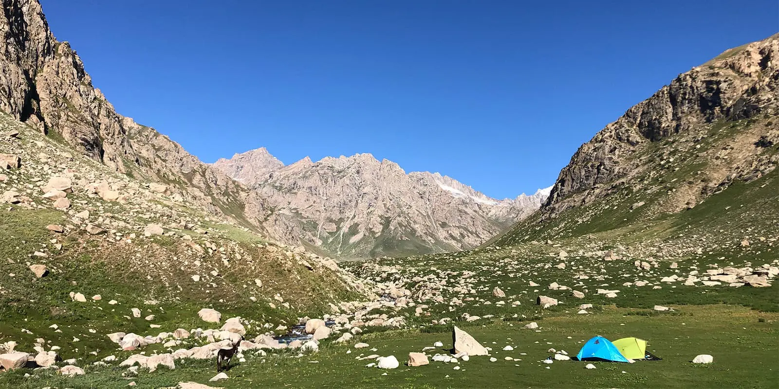
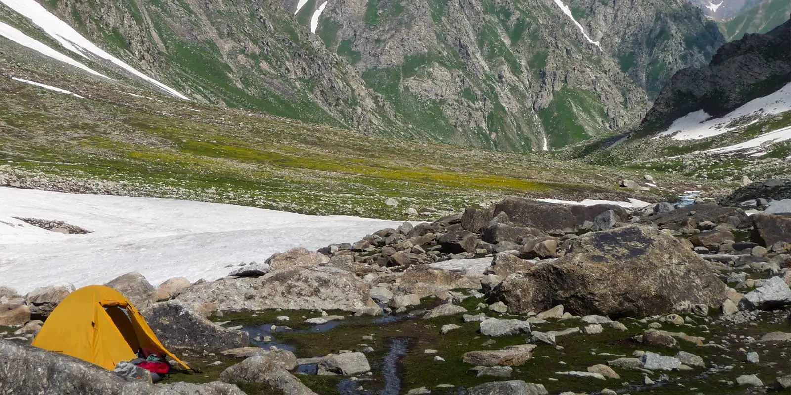
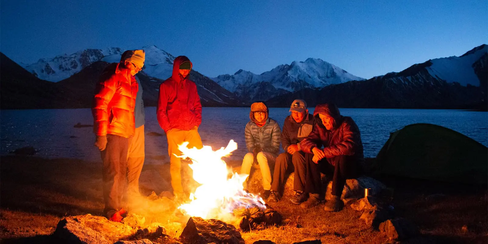
The Pamir Trail requires mostly wild camping. There are no designated places, and you can theoretically pitch your tent anywhere. Stage ends are determined by the best, most logical spots for camping in terms of water supply, flat spots, and safety. However, there are often plenty of camp spots along the stages, enabling you to shorten or lengthen a stage. Many of these in-between camp spots are marked on OSM. In the villages, you have to ask if you can camp (a lawn or backyard). It’s not ok to pitch your tent without consent.

Some sections have options to stay in homestays. These stays are authentic cultural experiences and help the local communities to benefit from tourism. Stays include breakfast and dinner, and therefore you can pack less food which saves weight (a thru-hiker’s real hobby). Accommodation is basic and costs on average $20 per person including meals. You can find most of the homestays across sections 1, 7, and 8.

Best time of the year

The Pamir Trail is best completed from north to south. Sections 1-5 can be done from mid-June to the end of September, though the highest passes may still be covered in snow in the early season. As mentioned before, the crux of the Pamir Trail is section 6. As long as there are still no bridges, this section should not be attempted before September. The rivers are too voluminous to cross the rest of the year. Aim to finish the PT by mid-October, as the weather gets changeable and temperatures drop well below freezing level.

Safety & Gear

The Pamir Trail is brand-new, unmarked, and ungroomed. This means that you need to be able to make your own educated judgments on safety on the trail. The ability to navigate is an essential skill as well as the ability to do dynamic risk analyses. Unless you hire a guide to accompany you, you have to be self-reliant. Below are the main safety factors to keep in mind.

Search and Rescue

Let’s start by mentioning Search and Rescue is a challenge in Tajikistan by all means. There is no mountain rescue like in the Alps or the Scottish Highlands. However, there have been training efforts to enhance rescue response time and facilities. Still, you’re likely to sit things out for some time, depending on where you need to be rescued. There have been successful rescue efforts recently in the High Pamirs.

Terrain

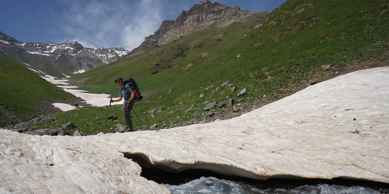
The first and main safety factor is terrain. The Tajik mountains are wild and dynamic. Each year, numerous landslides come down, mainly in late spring and early summer. There’s a small chance of getting hit by one, so it’s important to keep this in mind when pitching your tent or passing a steep slope. Landslides usually sweep away trails, creating difficult terrain to walk on. Avalanches create snow bridges in some places. These snow bridges are usually safe to cross in the early season (June and early July) but they get increasingly thinner as the summer progresses. At some point, it’s likely to collapse. If you doubt if it can hold you, don’t do it. You may get trapped underneath the snow mass and/or swept away by the river. Mud or debris flows are another terrain hazard that occurs in Tajikistan. When temperatures rise quickly, the accelerated snowmelt can cause the saturated soil to slide, taking everything that comes in its path.

Crossing glaciers

There are 8 glaciers to cross on the Pamir Trail. In trekking season these glaciers are usually dry, which means you can see the crevasses and walk around it without being roped up. Besides this, the glaciers are not that steep and most have very manageable crevasses. However, snowfall occasionally occurs in the summer and could cover the glaciers, making crevasses invisible. If this is the case, you should not cross the particular glacier, unless you rope up and know how to get out of a crevasse.

Weather

Just like on any other high-altitude mountain range, the weather in the Tajik mountains can be very changeable. July and August are the hottest months, and it gets particularly hot in the lower valleys (below 2,500m/8,200 ft). Make sure you cover your head, use sunscreen, and drink plenty of water. Starting early is a good way to beat the heat. Normally, the temperatures are a bit cooler in the Pamirs. Especially in this region, unexpected snowfall can happen in high summer above 3,500m/11,480 ft. Proper blizzards are unheard of in the Tajik summer.

Landmines

There is a small area along the Pamir Trail with landmines. This area, found on stage 46, is marked. Stay on the trail.

Political violence and terrorism

In some regions such as Rasht and Badakhshan, there is a big resentment against the Tajik central government. Without getting into the specifics of Tajik politics, it is good to keep in mind that violent uprisings occur once in a while. These are rarely directed at foreigners. Before you set out, check the latest security situation on for example the FCO website with travel advice. And always follow up on local advice, even if this means you can’t continue your hike. Terrorism in Tajikistan is rare, but it is a threat, just like in most places in other parts of the world.

Essential equipment and tools

Equipment is always personal, and some trekkers are more geeky than others about what to put in your rucksack. Essential clothing includes long trousers, a breathable rain jacket, long thermal underwear, and an insulated jacket. Headwear should include a wooly hat, brimmed cap, and Buff. Boots or trail runner? The Pamir Trail is doable on trail runners, but some bits are a bit too rough. However, an experienced thru-hiker can probably get away with it. Take light gloves for brisk mornings, a pair of category 3 sunglasses, and a water filter. Finally, bring crampons or micro-spikes for some sections. For the confident trekker, those, in combination with walking poles, should be sufficient to cross the glaciers. Micro-spikes are very useful on the steep, hard-mud river banks.

Bring a smartphone with a Tajik SIM card to use for navigation. OSM-based apps, such as Mapy.cz (my favorite), Outdoor Active, and the like, are very reliable and the OSM contributors have helped shape the PT. Bring a power bank and/or solar charger as there are not many charging points along the route.

For the complete equipment list, check the Pamir Trail website. Always take travel insurance that covers high-altitude trekking and search and rescue.

Good to know

Although Tajikistan has come a long way, there are still many things to consider compared to Europe, North America, and Australia. Logistics can be a challenge as public transport is infrequent or non-existent at all. The duration of tourist visas is limited and staying healthy is not always easy. Below are the main considerations for a trekker in Tajikistan.

(Thru) hiking the Pamir Trail presents a few logistical challenges. Postal services don’t work and marshrutkas (mini-buses) and shared taxis are infrequent and don’t cover very remote areas. Getting to and from the trail requires a little patience but is normally not an issue. Resupply drops are harder to organize. These are needed as there are not many shops along the route, and if there are, the choice is very basic. It helps if you speak the language a little. If you have some extra budget and time you could rent a car to drop food and equipment in the most remote spots. The Pamir Trail team will publish ideas on how to do this in the spring of 2025.

An e-visa lasts 60 days, so if you want to hike the entire PT, you will have to go for a visa run to Uzbekistan. The most logical point to do this is after section 5. You can take public transport to Dushanbe and the border with Uzbekistan and get your second visa. An overstay is a serious violation that may cost you dearly.

One of the highlights of the Pamir Trail is the encounters with the Tajik and Pamiri people. The people are very welcoming and generous and you’ll be invited into their homes and shepherd camps all the time. It’s important to learn about cultural considerations. Tajikistan is predominantly Muslim, and especially rural communities are conservative. On the Pamir Trail website, you can find a detailed chapter on cultural dos and don’ts.

There are few restrictions in the Tajik mountains in terms of access. You may be asked to pay a fee around Alaudin Lake for natural conservation. More formally, you will have to pay a daily national park fee on some stretches of the Pamir Trail on sections 6,7 and 8. That’s $10 per day, but you can negotiate the number of days. Lake Sarez is the only restricted area and you will need to apply for a permit to pass. The people working for the Pamir Trail can help you with this.

Cell phone coverage is improving in the lower valleys and on rural roads. However, once you’re in the mountains, there is nothing. A satellite messenger or phone is therefore highly recommended. Most trekkers tend to use Garmin InReach and this has proven to work for rescue calls.

There are plenty of water resources on the Pamir Trail. The only places where you need to carry at least four litres are stages 42 and 56 as springs dry out quickly in summer. Most water sources are mapped on OSM.

Last but not least, keep the impact of your hike as low as possible. Don’t burn your trash but hike it out to the next village/town. Make sure human waste is dealt with away from waterways and camps. Limit the campfires to a minimum and only use yak dung or dead wood. Use biodegradable soap (or no soap at all!). If you work with a local outfitter, make sure they practice low-impact trekking as well. That’s also your responsibility!

route
Point-to-point
Highest point
5010m (16,437 ft) Vrang Pass (stage 77)

Guidebooks

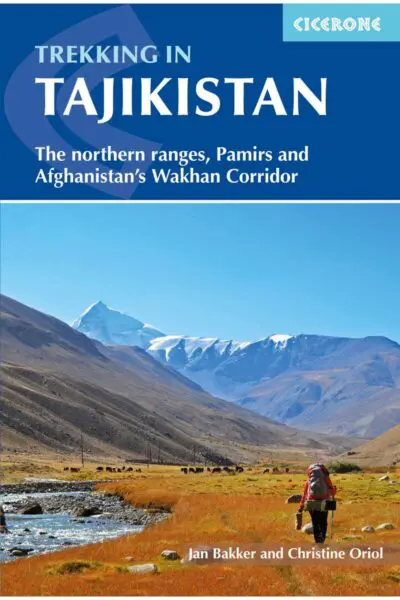
Trekking in Tajikistan

View guidebook

Want to submit a trail or make this page more complete?

Always read the disclaimer

Terms of Use: important to all visitors on this website. We strive to publish high quality content and information on this website. However it’s always possible that we’re missing out on some crucial information. In spite of the fact that this route, associated GPS track (GPX and maps) were prepared under diligent research by the specified contributor and/or contributors, the accuracy of such and judgement of the author is not guaranteed. Therefore, hiking-trails.com and contributors are in no way liable for personal injury, damage to personal property, or any other such situation that might happen to individuals hiking or following this route. Should you choose to hike this trail, this is always at your own risk. Check out our guidelines for safety hiking and Leave No Trace principles at the hiking 101 page.

Download GPX

Join the community!

Login or create a FREE account 😊

With an account you can:

Download GPX files

Pin trails to your wishlist

Mark trails as hiked by you

Rate hiking trails

Comment on trails, blogs and gear reviews

Happy trails!
Login

Don't have an account yet? Register here