About the Hermannsweg

country
Germany
length
156 km(97 mi)
Type of trail
Long-distance
difficulty

Difficulty is highly personal. Be aware of the weather conditions as bad weather turns easier trails in difficult trails especially in the mountains.

Moderate
accommodation

Lodging means a mix of hotels, hostels or AirBnB’s.

Lodging
Elevation gain
4096 m(13438 ft)
terrain
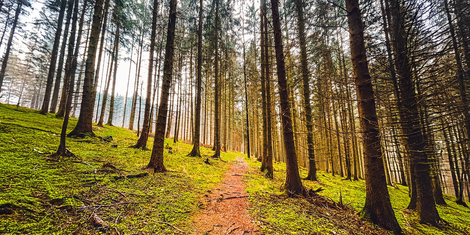
Forest, Hills
remoteness
Some of the time
Show more

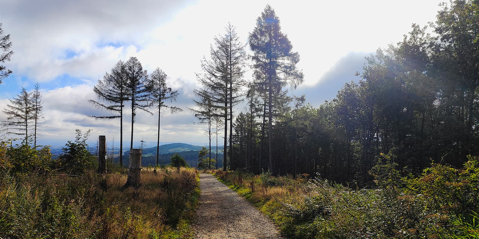
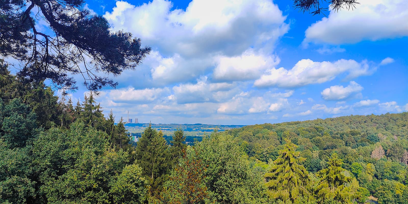
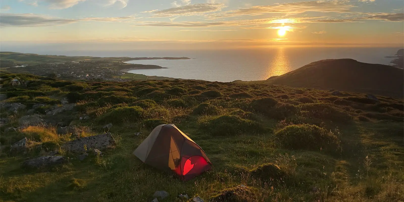
The Hermannsweg, stretching over 156 kilometers, is one of Germany’s most scenic high-altitude hiking trails. It follows the ridge of the Teutoburg Forest, going through two nature parks: TERRA.vita and the Teutoburg Forest/Egge Mountains. The trail derives its name from Hermann the Cheruscan, a Germanic chieftain who famously defeated the Roman commander Varus in 9 AD, destroying three Roman legions in the process. This historical event has left a lasting legacy on the region and adds a layer of historical significance to the natural beauty along the trail.

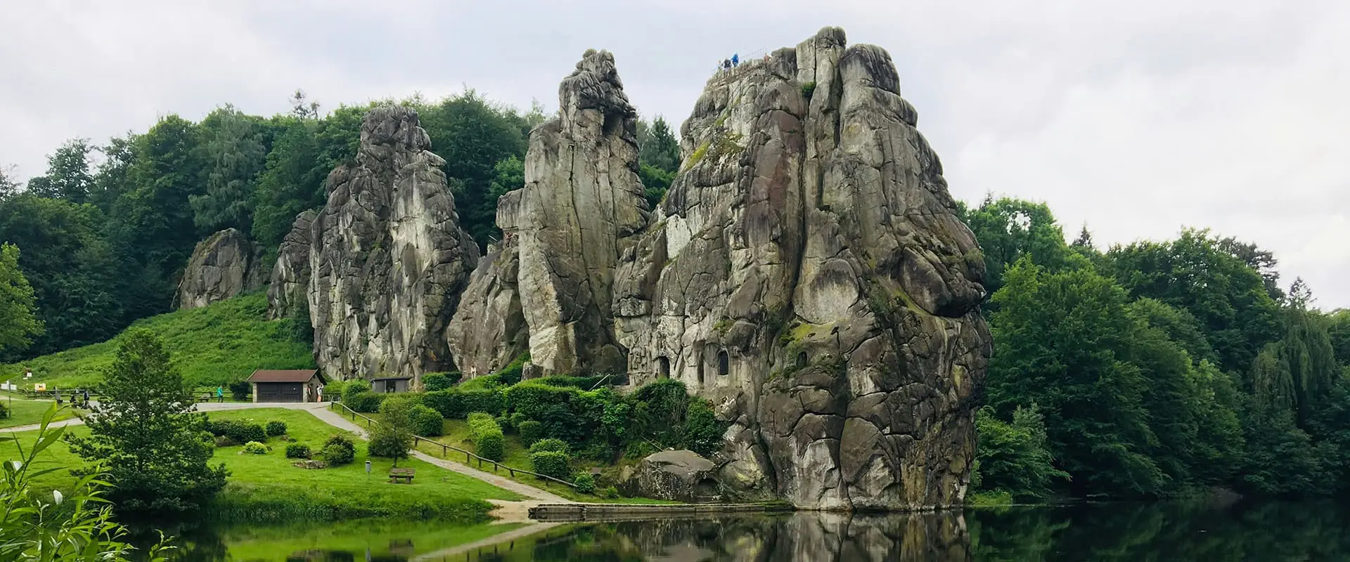
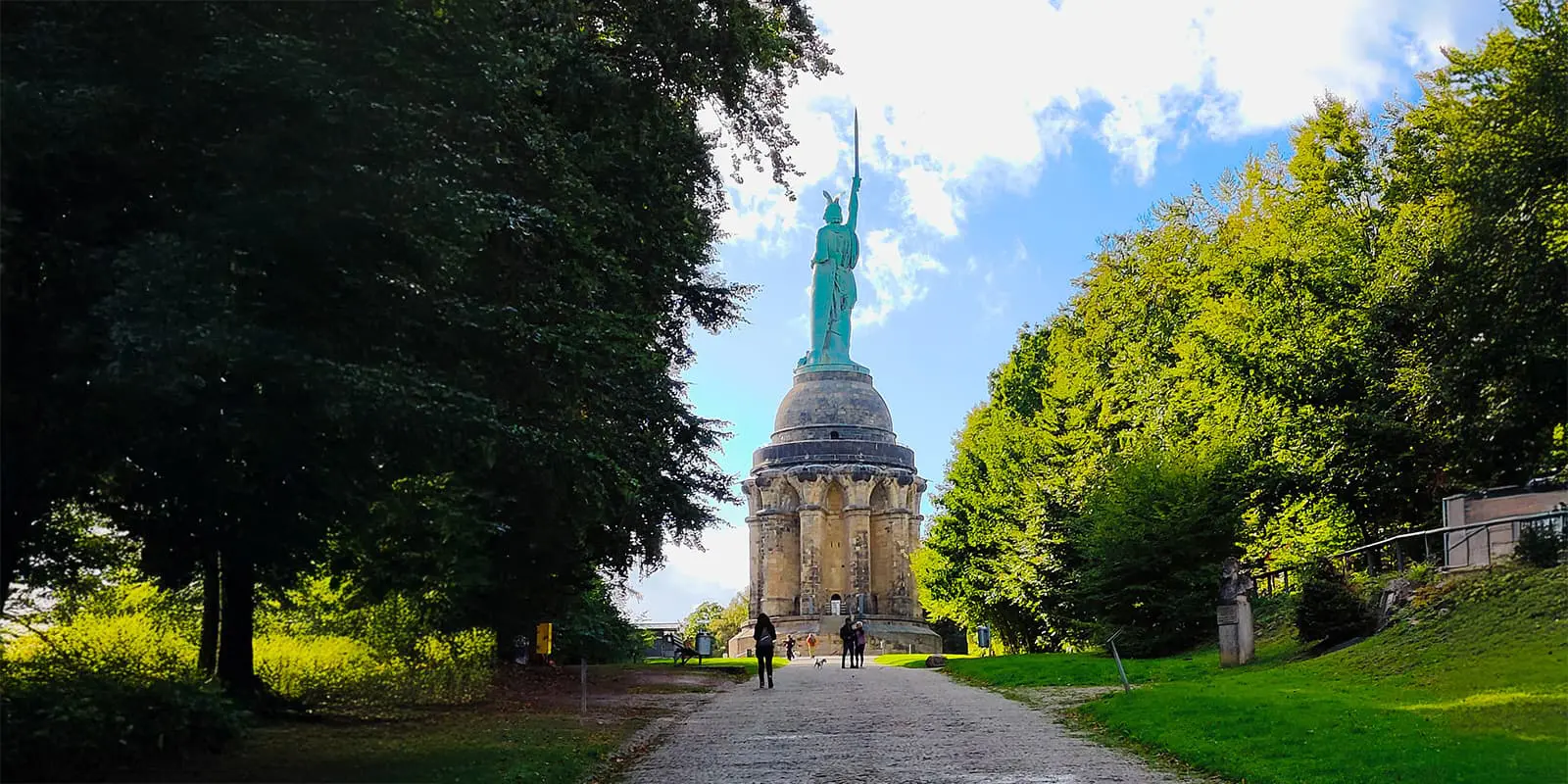
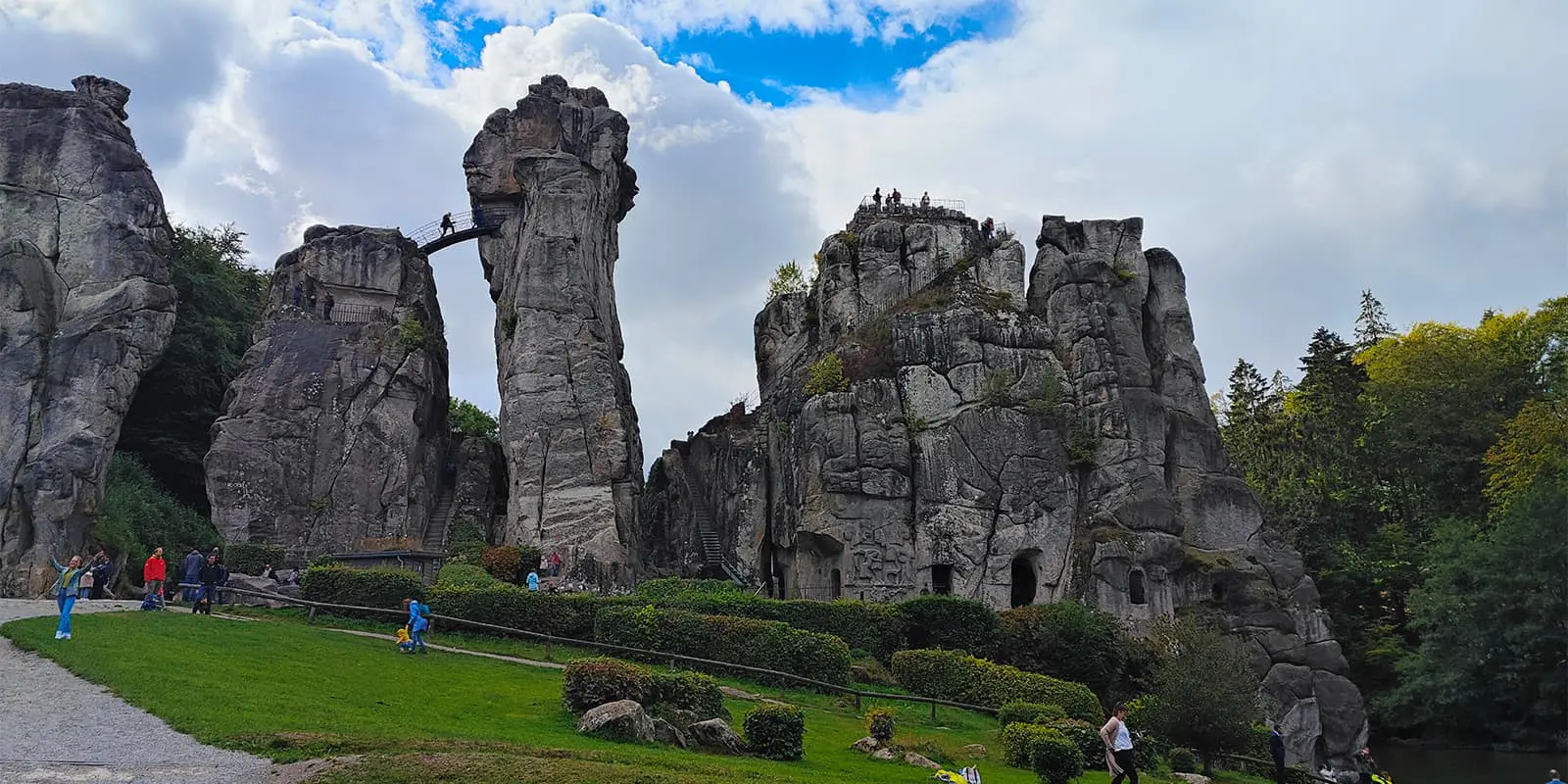
Along the route, hikers encounter historic sites like the Hermannsdenkmal monument and Externsteine rock formations. The trail’s well-maintained paths and varied terrain accommodate a range of hiking skill levels, making it a favored destination for outdoor enthusiasts and history lovers alike.

Henk Jan profile picture
Author

Henk-Jan Kienhuis

Henk-Jan was born in the Netherlands and has been hiking from a young age. He walks a lot in the Netherlands, including day and long-distance walks. A few times a year he walks for a long weekend with friends. For a couple of years, he walked long distances in Germany, the Netherlands, and Belgium. In 2024 he walked the S;t Olavsleden in Sweden. You can follow Henk-Jan on Instagram @henkjankienhuis.

View profile

The Trail

The hike along the Hermannsweg begins in the park landscape of Münsterland, specifically in Rheine. From there, the trail takes you to elevations ranging from 100 to 400 meters, ultimately concluding in Horn-Bad Meinberg. The endpoint of the trail is the Lippische Velmerstot, a rock formation standing 441 meters high, which has a breathtaking view of the surrounding area. The route is not just a feast for the eyes, but also a walk through history, with the Hermann Monument standing as a powerful reminder of the past. This monument, one of the many attractions along the way, commemorates Hermann’s victory over the Romans, symbolizing the freedom of the Germanic tribes.

In addition to the Hermann Monument, the Hermannsweg is lined with numerous other sights that make the hike a great experience. Among these are the Dörenther Klippen, a striking series of rock formations, and the Externsteine, a group of towering sandstone pillars. The trail also passes by the Sparrenburg in Bielefeld, a grand medieval castle, and the Adlerwarte Berlebeck, one of Europe’s oldest and largest bird of prey centres.

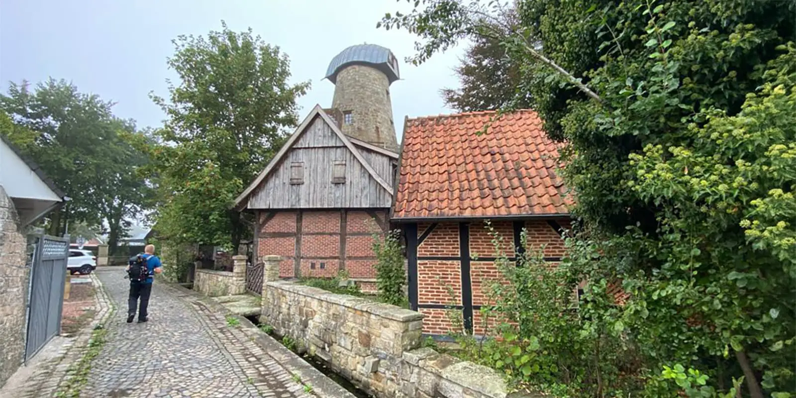
As you continue along the Hermannsweg, you’ll not only see some incredible feats of nature but also the remnants of a diverse history. The trail is dotted with historic city centres, castles, monasteries, and museums, each telling its own story of the region’s past. For instance, Ravensberg Castle stands as a symbol of the area’s medieval history, while the historic city centers of Tecklenburg and Bad Iburg are a look into the architectural styles and urban planning of earlier eras.

The Hermannsweg is more than just a challenging and scenic hike. Whether you choose to hike the trail for its historical significance, its cultural landmarks, or its landscapes, the Hermannsweg will be an unforgettable experience.

Stages

Stage 1:

Rheine – Hörstel , 19.2 km | 12 mi

Stage 2:

Hörstel – Tecklenburg, 20.4 km | 12.7 mi

Stage 3:

Tecklenburg – Bad Iburg, 21 km | 13 mi

Stage 4:

Bad Iburg – Dissen, 16.3 km | 10.2 mi

Stage 5:

Dissen – Halle Westfalen, 19 km | 11.8 mi

Stage 6:

Halle Westfalen – Bielefeld, 16.5 km | 10.2 mi

Stage 7:

Bielefeld – Oerlinghausen, 14.8 km | 9.2 mi

Stage 8:

Oerlinghausen – Hermannsmonument, 17.9 km | 11.2 mi

Stage 9:

Hermannsmonument – Leopoldstal, 17.2 km | 10.7 mi

Stage 10:

Leopoldstal – Bad Driburg, 14.4 km | 9 mi

Stage 11:

Bad Driburg – Willebadessen, 16 km | 10 mi

Stage 12:

Willebadessen – Blankenrode, 19.5 km | 12 mi

Stage 13:

Blankenrode – Obermarsberg, 14.1 km | 8.8 mi

Accommodations

Along the Hermannshöhen, there are plenty of accommodation options, whether directly on the route or just a short detour away. The choices range from luxurious hotels to budget-friendly bed and breakfasts (B&Bs). Whether you’re looking for a place to rest in the heart of nature, or prefer the comforts of a more urban setting, there’s something for everyone.

Best time of the year

Walking the Hermannshöhen is best done from April through October when the weather is most favorable. The trail is well-maintained, which makes it accessible for people of various skill levels. During these months, you can enjoy the beauty of the landscape in full bloom, with lush greenery and vibrant flowers lining the path.

Safety & Gear

This tour has far more than 500 waypoints. Please make sure that the track is displayed in full when using a GPS device! You can also find shorter stage suggestions for the Eggeweg in the TEUTO_Navigator.

Please take sun protection and drinks with you. Many formerly wooded stretches now have little shade due to clearing. Unfortunately, there are no places to stop for refreshments along the way – except in Willebadessen and Bad Driburg.

Good to know

For this tour we recommend good hiking boots, a camera and weatherproof clothing. There are few places to stop for refreshments along the route, so make sure you take plenty of provisions with you!

route
Point to point
Highest point
400m (1312 ft)

Want to submit a trail or make this page more complete?

Always read the disclaimer

Terms of Use: important to all visitors on this website. We strive to publish high quality content and information on this website. However it’s always possible that we’re missing out on some crucial information. In spite of the fact that this route, associated GPS track (GPX and maps) were prepared under diligent research by the specified contributor and/or contributors, the accuracy of such and judgement of the author is not guaranteed. Therefore, hiking-trails.com and contributors are in no way liable for personal injury, damage to personal property, or any other such situation that might happen to individuals hiking or following this route. Should you choose to hike this trail, this is always at your own risk. Check out our guidelines for safety hiking and Leave No Trace principles at the hiking 101 page.

Download GPX

Join the community!

Login or create a FREE account 😊

With an account you can:

Download GPX files

Pin trails to your wishlist

Mark trails as hiked by you

Rate hiking trails

Comment on trails, blogs and gear reviews

Happy trails!
Login

Don't have an account yet? Register here