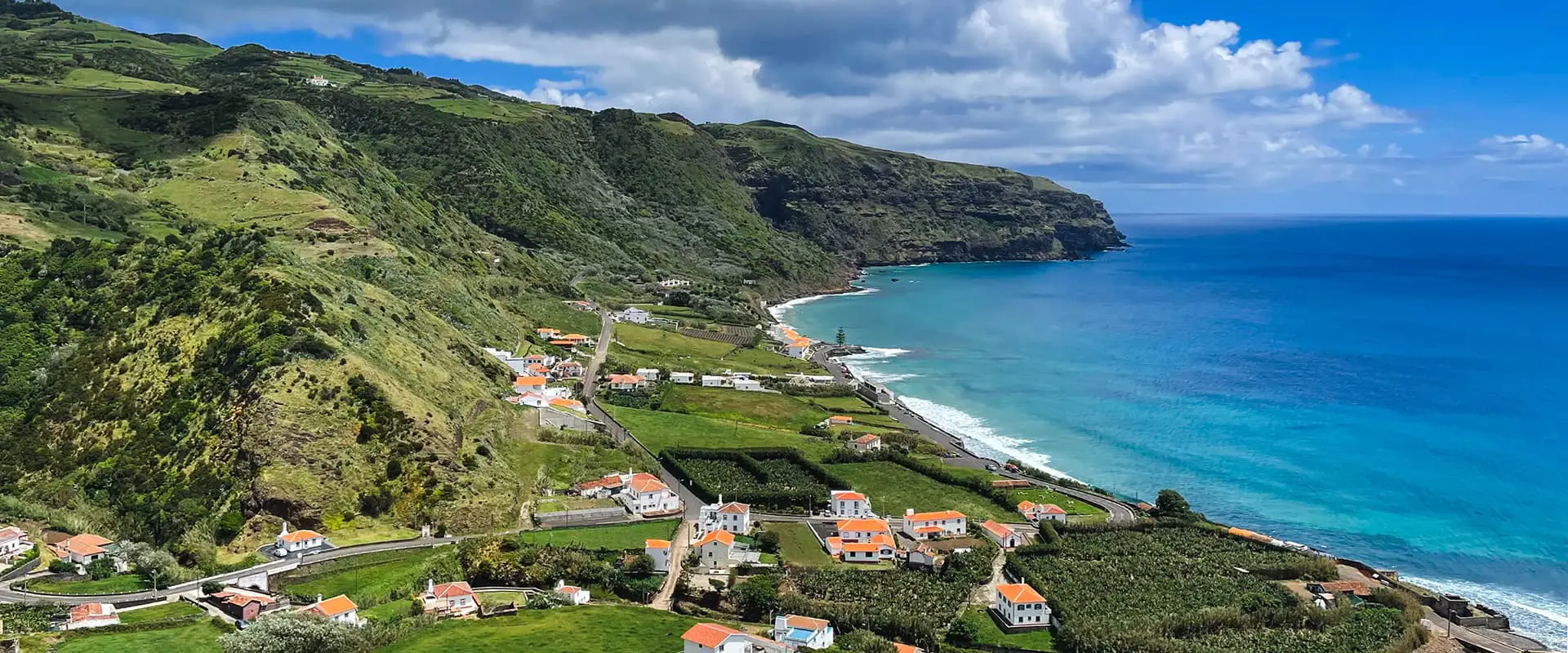
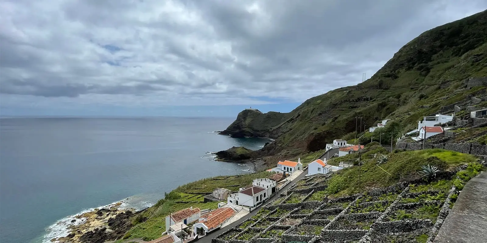
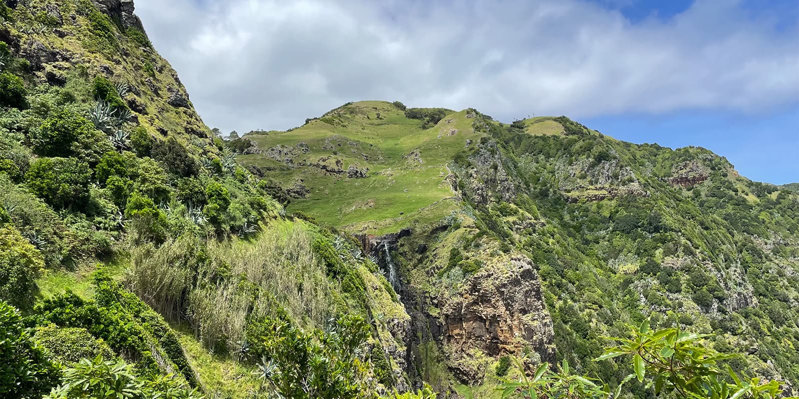
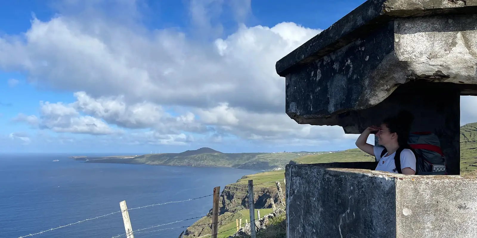
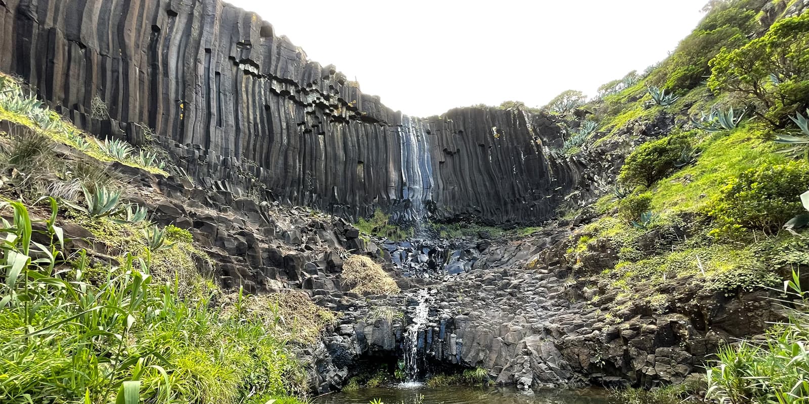
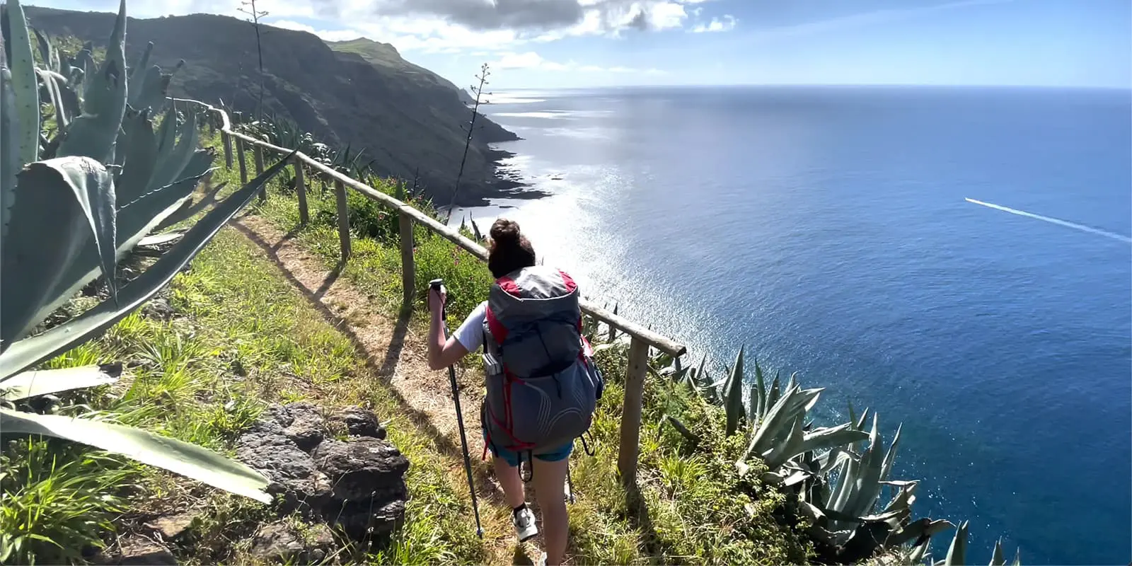
On the third day, you will find yourself calming down a bit after two days of hiking with a lot of elevation. From here, the trail gets easier so you’ll cover more distance each day. You follow the trail up north where you’ll walk mainly inland and some more tarmac roads as well. The charming villages of Santo Espirito and Santa Barbara are good places to rest and resupply. On this part of the trail, it’s also possible to do a lot of detours to waterfalls or nearby caves. A little further to the north you’ll come across the beautiful bay of São Lourenço, with its turquoise water and numerous vineyards pasted on the steep green hills. After walking through the village the trail leads up a narrow rocky path through the vineyards which is a demanding climb. When you’re almost at the top you can enjoy an incredible viewpoint.
After that, the trail leads to Norte before leading back inland to the village of Santa Barbara. This is a picturesque town where time has stood still and life is quiet. There’s a bar with a little shop across the church where you can resupply. After this town you’ll soon head for the highest point of the island, Pico Alto. Its only 587 meters tall, but the top provides you with a 360-degree view over the island, if you’re lucky with the weather and the summit is not covered in mist.
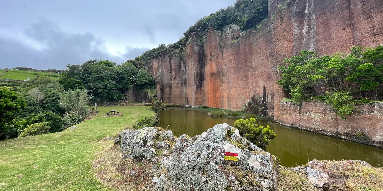
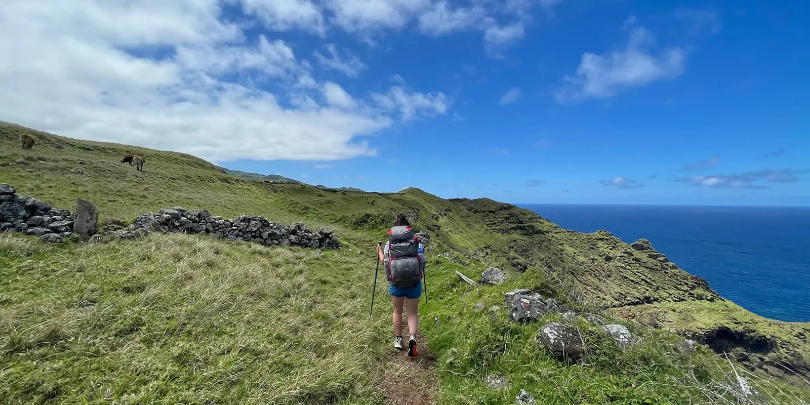
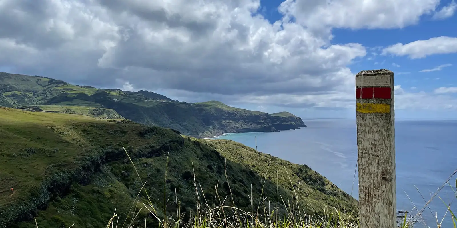
The last part of the trail is also the least exciting. The trail continues along the north coast of the island where the coastline is much more rugged and more abandoned as well. There are fewer villages here and you’ll find cattle to be your only company. Nevertheless, the views are still mesmerizing. At Raposo, you come across Barreiro da Faneca, another protected area that consists of an arid and clayey landscape formed during the Pliocene, unique to the island and all of Portugal. Leaving the red soil behind, you will quickly pass the last village on the trail which is Anjos. After that, you are mainly walking around the outside of the airport alongside the coastline all the way back to Vila do Porto. A long last stretch before you can enjoy a well-deserved meal and a cold beer after completing the trail!
Trail difficulty Grand Route 01 Santa Maria
Due to the big changes in elevation and the fact that you face some steep ascends, this trail can be quite challenging. The first two stages in particular are high in elevation and some paths have loose or slippery rocks which can be tricky at times. Also, navigation can be difficult if the waymarks have been blown over, so a map or guidebook can be helpful. Nevertheless, this trail is moderate because it has pleasant temperatures all year round (15 – 25 degrees). It never gets blazing hot during the day or really cold at night, which makes the Grand Route a great trail to hike.


