About the Kempentocht

country
Belgium
length
64 km(40 mi)
Type of trail
Long-distance
difficulty

Difficulty is highly personal. Be aware of the weather conditions as bad weather turns easier trails in difficult trails especially in the mountains.

Easy
accommodation

Lodging means a mix of hotels, hostels or AirBnB’s.

Camping, Lodging
Elevation gain
70 m(230 ft)
terrain
Countryside, Flat
remoteness
Some of the time
Show more

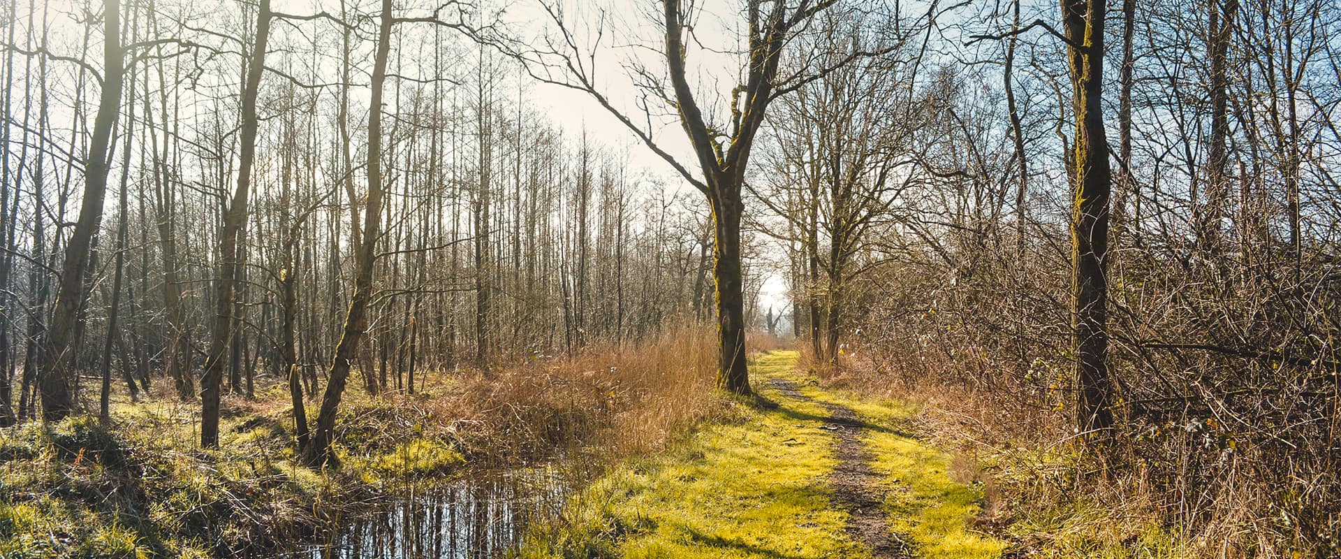
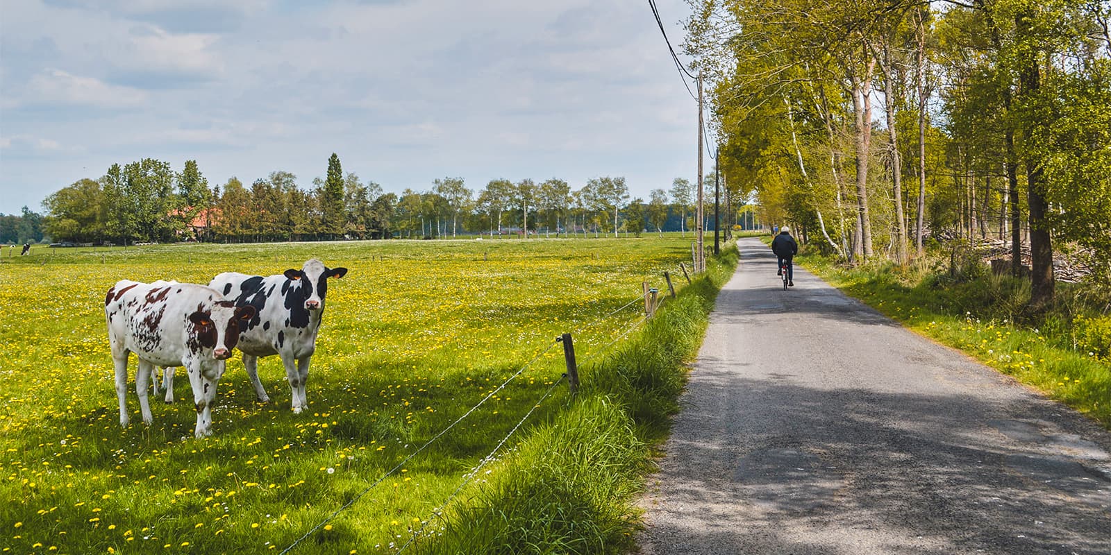
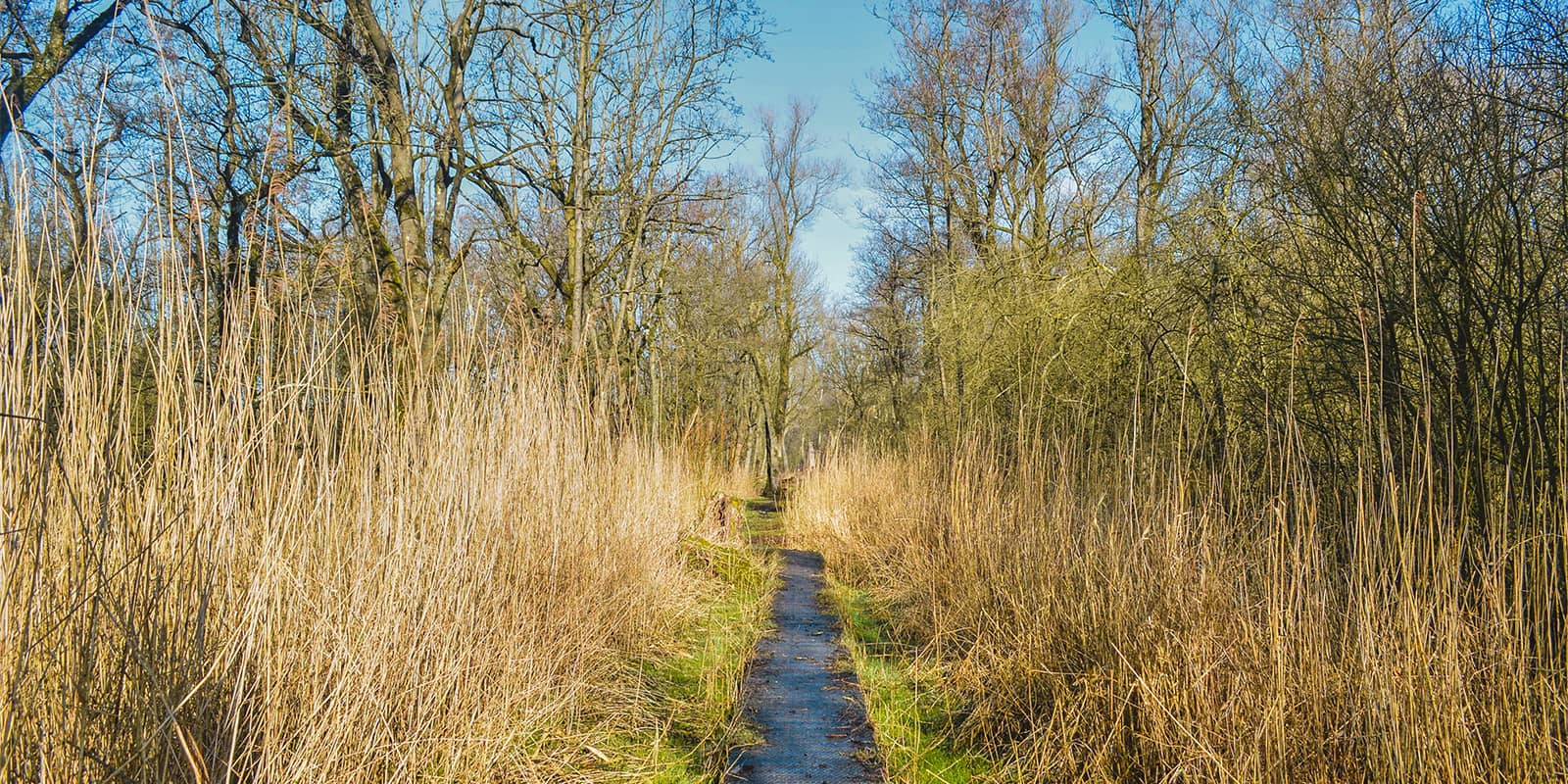
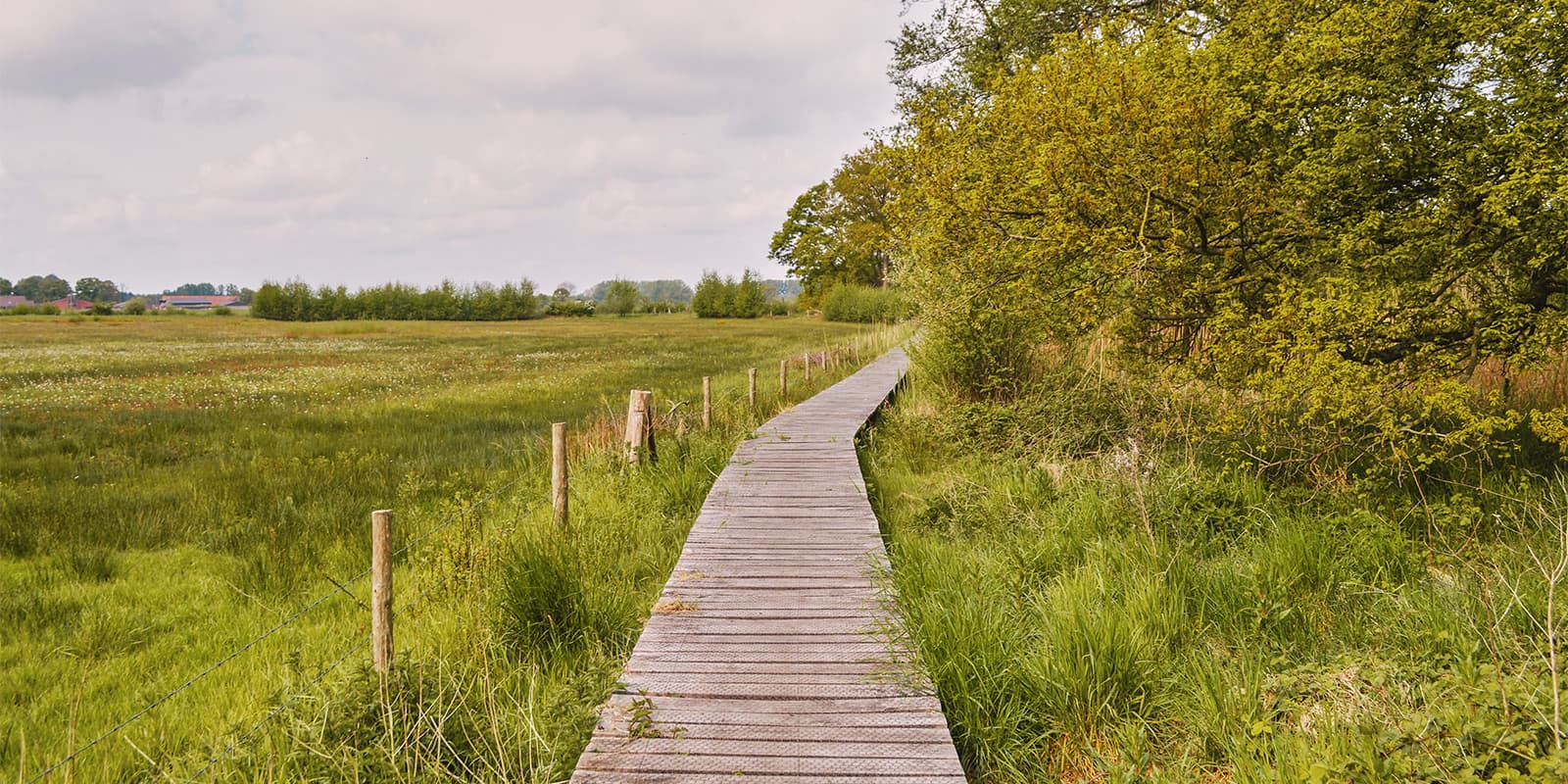
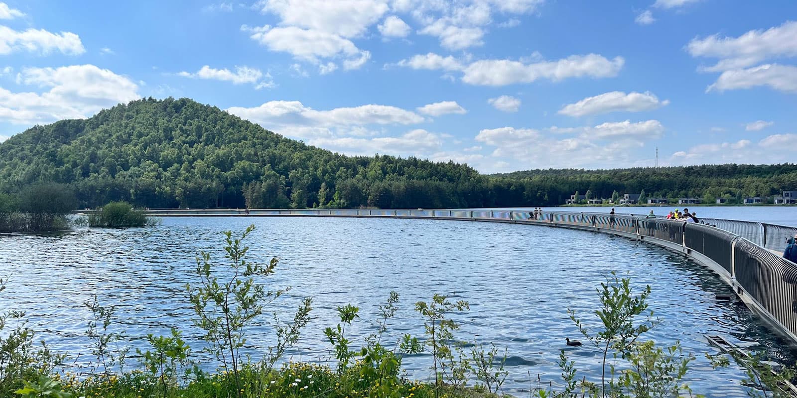
High up north in Belgium, situated in the region ‘Antwerpse Kempen’ or ‘Noorderkempen,’ lies the ‘Kempentocht.’ A 63.5-kilometer circular trail connecting 3 unique sites: Turnhouts Vennegebied, World Heritage site Koloniën van Weldadigheid, and Vallei het Merkse. The region Noorderkempen is filled with forests, meadows, and fens. When hiking the Kempentocht one will experience the tranquility and peace whilst being surprised by the refreshing combination of nature and culture.

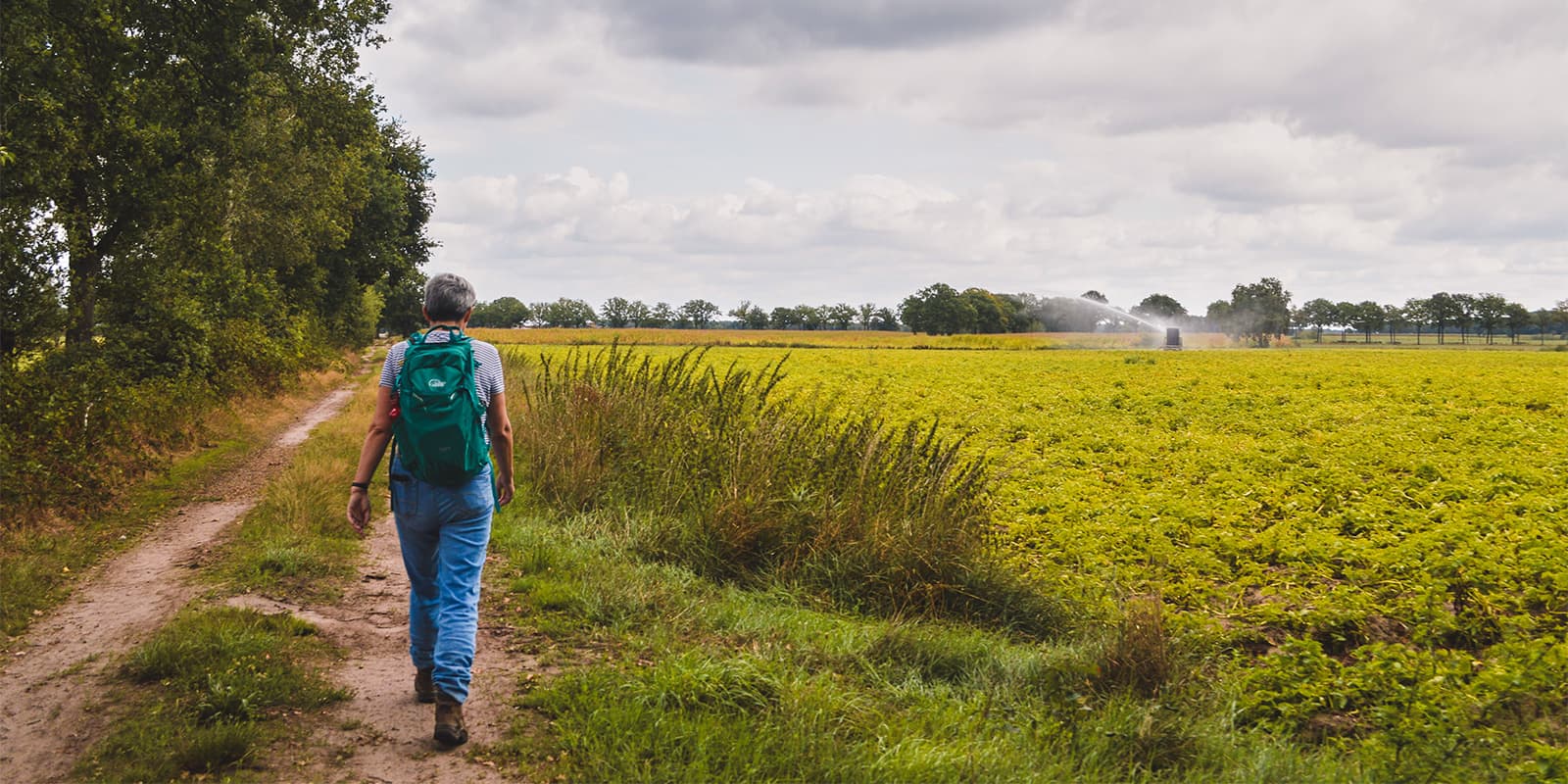
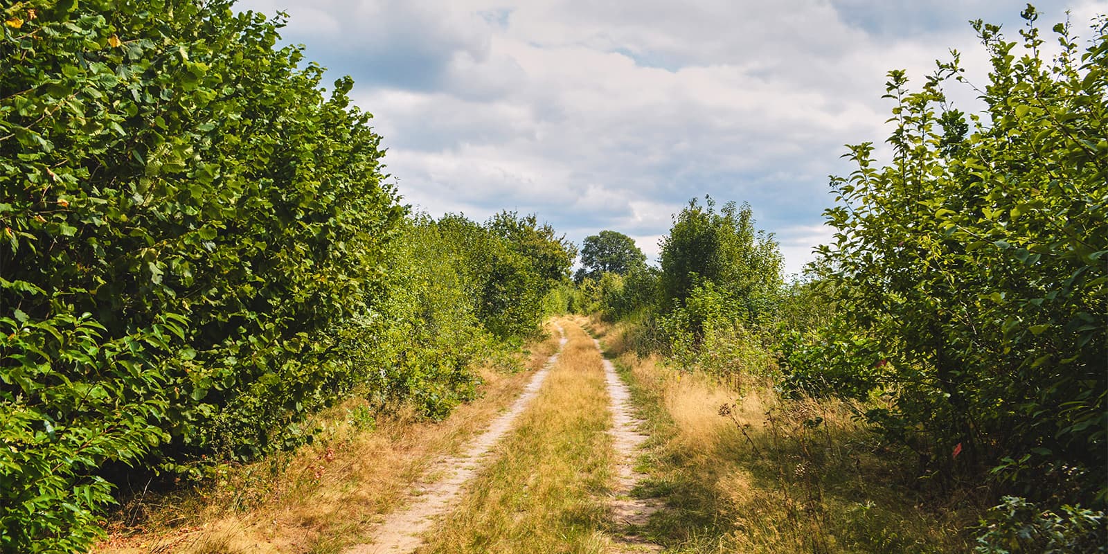
Nearly 75% of this trail runs along unpaved paths, which makes this the perfect trail for anyone looking for a hike filled with nature and away from the bustling cities. The trail officially starts at Bezoekerscentrum Klein Engelandhoeve, just above the city of Turnhout (and therefore easy to reach by public transport). However, the Kempentocht is a circular route which means one can start this hike at any point.

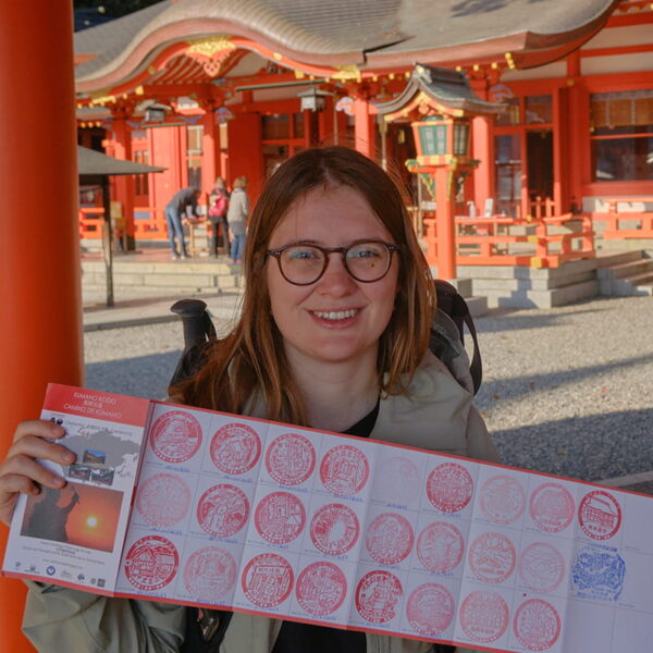
Women holding hiking pasport
Author

Hanne Govaerts

Hanne Govaerts is a Belgian outdoors enthusiast. During the week she works a full-time office job but every moment of spare time she tends to spend outdoors, on trail. Her passion for hiking started at the early age of 16, when she impulsively went on a summer camp hiking the Wicklow Way in Ireland. Ever since, her holidays have been filled with hiking trips such as the Matterhorn Trek in Switzerland and the Kumano Kodo Nakahechi Route in Japan. Hanne’s main goal is to hike all the Belgian long-distance trails. With its +/- 10.000 kilometers of trails throughout the country, it’s a challenge that should not be taken lightly. You can follow her hiking adventures on her Instagram account @hannehikes.

View profile

The Trail

When starting from Bezoekerscentrum Klein Engelandhoeve, the trail immediately leads through Turnhouts Vennengebied. A nature reserve that once was part of one big fen territory covering the northern part of Belgium. Whilst admiring this unique and diverse landscape with lots of bio-diversity, the trail continues up north to the nature reserve of Vallei van het Merkske, which covers the area around the small river Merkske. It is mostly characterized by its wet meadows and diversity of plants. If you’re lucky you might spot one of Belgium’s indigenous species; a deer, tawny owl, or a shepherd with their herd.

In this specific region, the trail also encounters a reminder of the Dodendraad or ‘Wire of Death’. This seemingly innocent part of barbed wire on the side of the road takes people back to World War I when it was used as a border. The wires carried a deadly 2.000 Volts, stopping any unfortunate soul trying to cross it. There’s a 38-kilometer-long cycling route dedicated to the history of the ‘Wire of Death,’ which is also worth a visit.

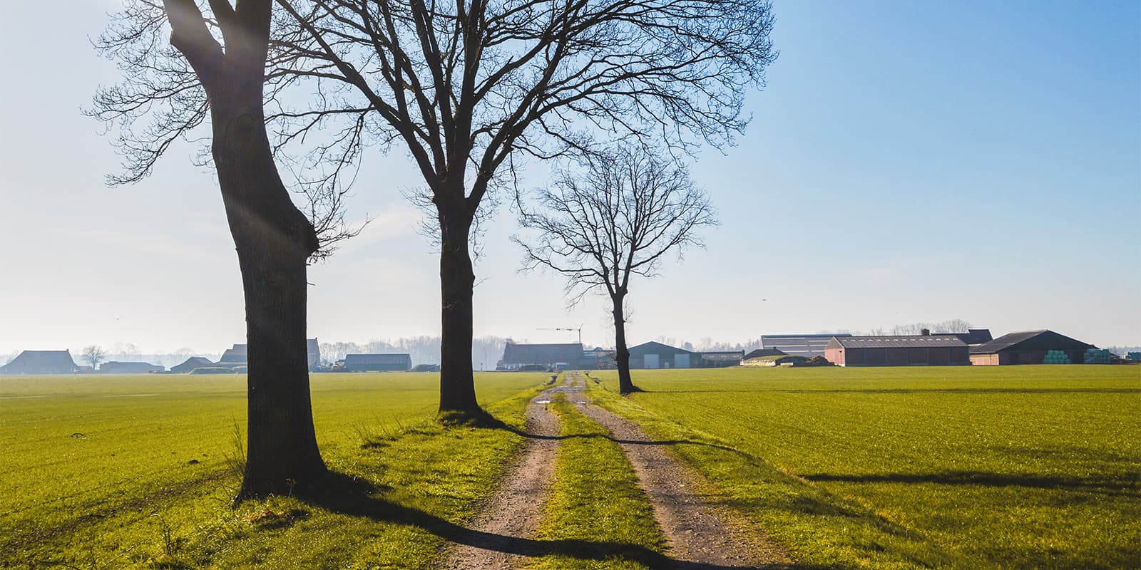
Lastly, the trail will take you to the Koloniën van Weldadigheid. This area was created in the 19th century as a social experiment where poor city dwellers were relocated to work as farmers to cultivate the land. After Belgium became independent, the two colonies of Merksplas and Wortel were used as a place to (mandatorily) send beggars and vagabonds. The area is known for its long avenues and stately buildings. There’s a visitor’s center located in Merksplas Kolonie where one can learn more about the history of this peculiar place.

Stages

Stage 1:

Bezoekerscentrum Klein Engelandhoeve, Turnhout – Bezoekerscentrum Vallei van het Merkske, Wortel, 37 km | 23 mi

Stage 2:

Bezoekerscentrum Vallei van het Merkske, Wortel – Bezoekerscentrum Klein Engelandhoeve, Turnhout, 27 km | 16 mi

Accommodations

When hiking the Kempentocht, we would advise you to sleep in a tent since the bivouac is close to the trail and it’s free of use. However, there’s also the possibility to sleep at a B&B if preferred.

Lodging:
Stage 1: B&B De Grote Plaats

Camping:
Stage 1:  Bivakzone Wortel Kolonie

Best time of the year

Belgium has moderate temperatures year-round. Therefore this trail can be walked any time of year. During the winter, around December through February/March, it can be cold and occasionally snowy. During the summer months, from June through September, the temperatures are higher. However, the weather can be unpredictable so one should always be prepared for rain.

Safety & Gear

The Kempentocht is located in a very flat landscape. The trail is not technically or physically demanding. That’s why it’s a perfect trail for beginners. However, do plan the stages to your own fitness level. Wear comfortable hiking shoes and a good backpack to avoid any injuries.

The trail is not marked and therefore it’s important to bring the GPX file and the numbers of the node-to-node walking network (see ‘Good to Know’). Do make sure you’ve downloaded the GPX file offline since not all nature reserves have cellular reception.

Good to know

This trail uses the node-to-node walking network to navigate yourself. The node-to-node walking network is a network of short paths in Belgium and the Netherlands. The intersection of these paths forms nodes, designated by their own number. Here you find a pole that indicates the number of this node and the direction of the neighboring ones. To hike a route, simply bring the node numbers and follow the markings.

For the Kempentocht you’ll need the following numbers to hike the trail:

Node-to-node walking network day 1:

52 – 90 – 54 – 6 – 6 – 7 – 73 – 67 – 72 – 8 – 70 – 5 – 4 – 3 – 2 – 96 – 97 – 41 – 75 – 74 – 74 – 74 – 54 – 87 – 52 – 26 – 51 – 15 – 53 – 17 – 20 – 21 – 22 – 22 – 33 – 33 – 35 – 34 – 51 – 51 – 51 – 79 – 56 – 55 – 58 – 57 – 62 – 80 – 15 – 57 – 56 – 96 – 95 – 97 – 75 – 74 – 76 – 6 – 7 – 7 – 7 – 9 – 8 – 10 – 12 – 13 – 14 – 1

Node-to-node walking network day 2:

1 – 18 – 17 – 16 – 21 – 31 – 49 – 49 – 76 – 76 – 75 – 74 – 56 – 55 – 54 – 52 – 53 – 50 – 72 – 71 – 74 – 10 – 70 – 69 – 79 – 77 – 51 – 52 – 56 – 55 – 53 – 53 – 54 – 68 – 69 – 70 – 96 – 90 – 72 – 74 – 74 – 75 – 40 – 95 – 94 – 93 – 50 – TP – 92 – 89 – 91 – 51 – 52

route
Circuit
Highest point
30m (98 ft)

Want to submit a trail or make this page more complete?

Always read the disclaimer

Terms of Use: important to all visitors on this website. We strive to publish high quality content and information on this website. However it’s always possible that we’re missing out on some crucial information. In spite of the fact that this route, associated GPS track (GPX and maps) were prepared under diligent research by the specified contributor and/or contributors, the accuracy of such and judgement of the author is not guaranteed. Therefore, hiking-trails.com and contributors are in no way liable for personal injury, damage to personal property, or any other such situation that might happen to individuals hiking or following this route. Should you choose to hike this trail, this is always at your own risk. Check out our guidelines for safety hiking and Leave No Trace principles at the hiking 101 page.

Download GPX

Join the community!

Login or create a FREE account 😊

With an account you can:

Download GPX files

Pin trails to your wishlist

Mark trails as hiked by you

Rate hiking trails

Comment on trails, blogs and gear reviews

Happy trails!
Login

Don't have an account yet? Register here