About the Wales Coast Path

country
Wales
length
1400 km(870 mi)
Type of trail
Long-distance
difficulty

Difficulty is highly personal. Be aware of the weather conditions as bad weather turns easier trails in difficult trails especially in the mountains.

Moderate
accommodation

Lodging means a mix of hotels, hostels or AirBnB’s.

Camping, Lodging, Wild camping
Elevation gain
28246 m(92671 ft)
terrain
Coastal, Countryside, Hills
remoteness
Some of the time
Show more

The Wales Coast Path covers the entirety of the Welsh coast from the England/Wales borders of Chester in the north to Chepstow in the south (depending on which direction you walk). If you feel like making this challenge even longer, it links to Offa’s Dyke path (285 km / 177 mi) which runs along the England/Wales border, meaning you could circumnavigate the whole of Wales.

The Wales Coast Path is well-waymarked and maintained, and you’re never too far from a village, but its wild views and serenity make this a very peaceful path that you’ll often have all to yourself. The trail can be walked continuously as a long-distance walk, or completed in sections. Depending on your level of fitness and average mileage, the long-distance walk should take around 8 weeks.

Nicola-whitbread profile picture
Author

Nicola Whitbread

Nicola Whitbread is a U.K.-based long-distance walker and cheerful soul, slowly exploring the rich variety of trails this country has to offer. She loves the challenge of solo adventures, being responsible for her safety, navigation, and problem-solving, and the simple bliss of reading a book in her tent after a long day of hiking.

Nicola works a 9-5 but makes full use of national holidays and annual leave, sometimes splitting a longer trail into section hikes and completing over a few weekends. She finds confidence, freedom, and peace on the trail and it is very much her happy place.

You can follow Nicola on Instagram @nicola.navigates

View profile

The Trail

The Wales Coast Path is far from a stroll along a beach. This diverse trail is an epic adventure of rugged cliffs, hidden coves, seaside towns, industry – both old and new, ports, wide sandy beaches, winding estuaries, agricultural land, incredible rock formations, dunes, and even neolithic burial grounds. It will certainly use all your leg muscle groups, varying from flat and easy promenades to steep ascents and descents into every little cove. The trail closely follows the coast for most of the route, but there are inland sections to circumnavigate estuaries and private land. Though minimal, there is some road walking.

The first section eases you into the trail, with miles of flat straightforward path following the River Dee. It’s a good section to run if you’re interested in fastpacking. The start itself is somewhat in the middle of nowhere, right on the England/Wales border along the River Dee but it’s a lovely 3.2-kilometer / 2-mile canal walk from Chester city center to reach the official start. Once the River Dee reaches the sea, you’ll enjoy beach and dune walking before reaching the seaside resorts of the North Wales coast, starting with Prestatyn. You’ll follow a flat promenade for miles before reaching the first hilly section: the Great Orme, a limestone headland. On the other side is the charming castle town of Conwy, with the rest of this section a flat and simple path between the train line and the sea. Note – despite this section being popular with tourists, there are very few campsites as most ‘campsites’ are for holiday park homes and don’t allow tent pitches.

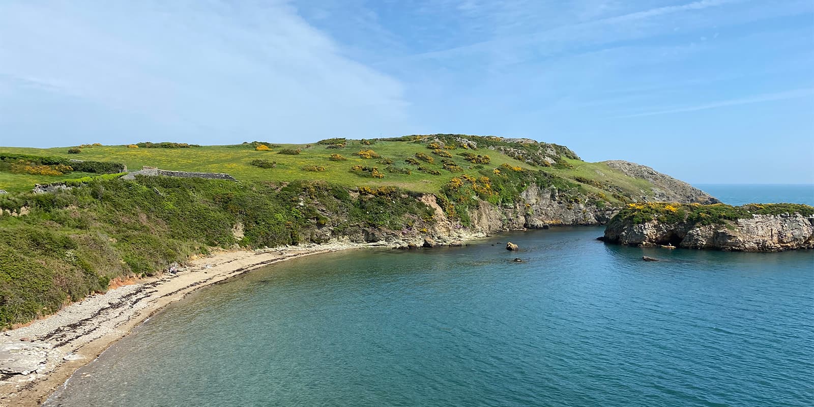
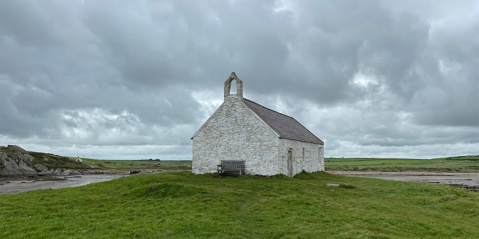
The second section starts after urban Bangor, crossing the striking Menai Bridge. It will take you to the Isle of Anglesey where you can follow either the official WCP dragon shell waymarkers or the IoACP blue tern (bird) waymarker – both follow the same route. The Anglesey section is quiet with a wild feel – different from the built-up North Wales section. Here, you’ll find wide, empty beaches, wildflower-lined paths, hidden coves, sleepy harbors, lighthouses, churches, grassy headlands, and signs of the old mining industry. It’s a quiet and very beautiful section. A mix of campsites and wild camping will be needed here, and away from Menai Bridge and Holyhead, there is little public transport.

The third section is beautiful and underrated, continuing the wild feel of Anglesey. Flat and easy paths to begin, and passing through the quirky arty castle town of Caernarfon. There are some good, long, beach walking sections on the Llyn Peninsula, but some long road sections too – although for a lot of these sections, you can continue along the beach instead of following the ‘official’ road route. The Llyn Peninsula also becomes quite hilly, with the sudden steepness around Yr Eifl as a surprise! This is a great section for wild camping and wildlife, from wild goats to seals basking on beaches.

After Porthmadog, the Llyn Peninsula turns inland into Meirionnydd, the western border of Eryri (Snowdonia National Park). Meirionnydd is mostly farmland and only meets the coast a few times. Here, wild camping will be difficult – though landowners may permit you to pitch on their land. This section finishes in the arty town of Machynlleth, which also has great transport routes.

The fourth section of Ceredigion is a varied part of the WCP. Starting inland, it takes a day to return to the coast again and enjoy cliff coastline paths and harbor towns – this section is a mix of rugged and bustle, with extensive views of the whole coastline from Llyn to Pembrokeshire. The main roads running next to the coast path have buses connecting the towns (though no trains apart from Aberystwyth) and a mix of campsites and wild camping.


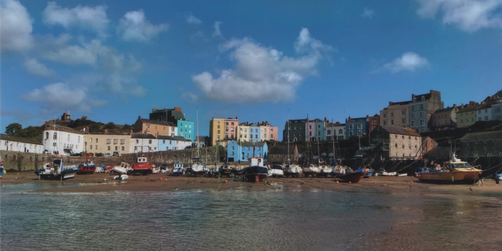
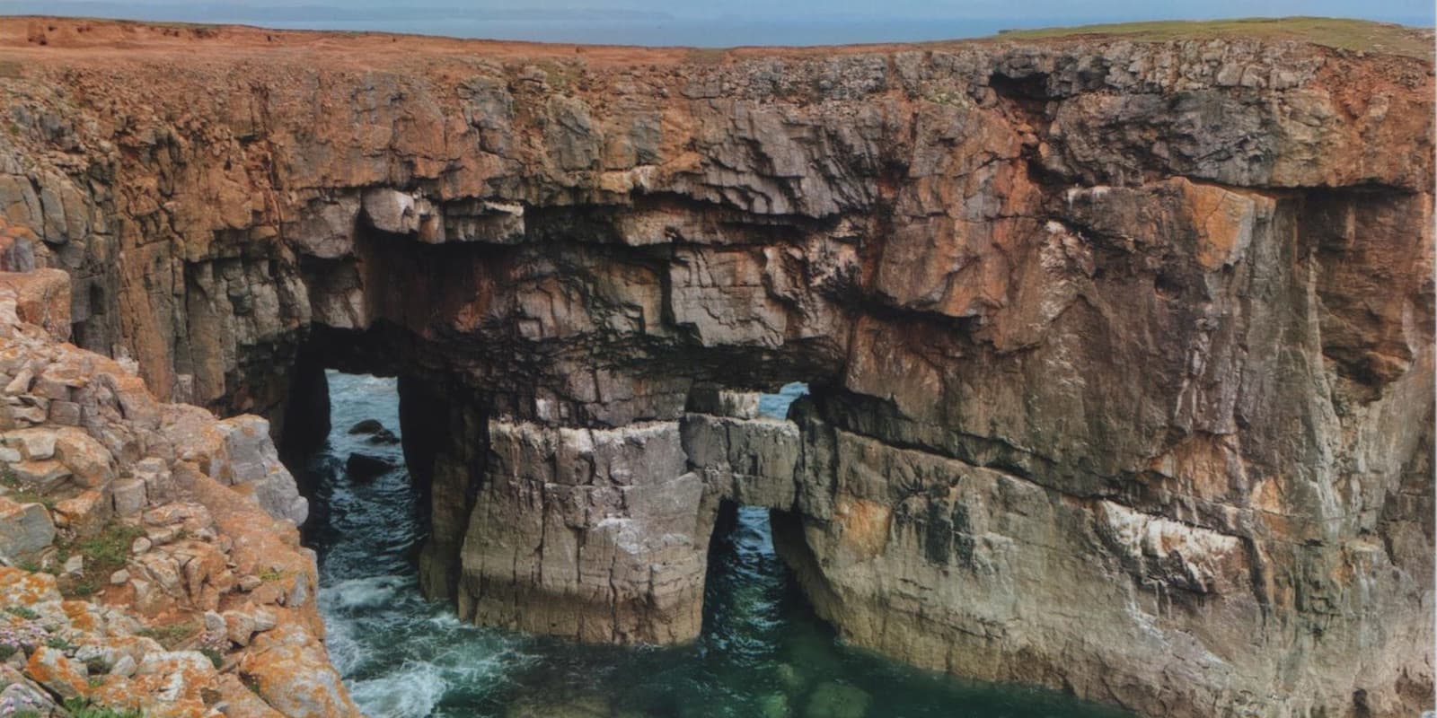
The fifth section is one of the most loved sections of the WCP on account of its beauty and varied geology. Apart from the odd urban area, it’s still a quiet section to walk. Lots of ascent and descent, the path hugs the coastline very closely – which means going up and down into every cove. In this section, you can expect long wild beaches, rocky cliffs, and natural sea arches. It’s also a good mix of remote (make sure you have enough water around Strumble Head) and bustling port towns, so plenty of resupply options, as well as campsites and wild camping opportunities. Note – there are some protected areas in this section, e.g., Barafundle Bay. Please don’t wild camp here.

If you are walking in early summer, a detour to Bosherton lily ponds is recommended – it’s a short and beautiful walk from Broad Haven South. Also, look out for St Govans Chapel – it’s built into the rock and very easy to miss, but is a highlight of this section. There are also dangers to be aware of in this section, please see the ‘Good to Know’ section below, noting tidal crossings and the Castlemartin military firing range.

The sixth section in Carmarthenshire starts strong as a continuation from Pembrokeshire, but this section in general doesn’t stick to the coast and there is a large amount of inland walking. The tantalizing beach past Pendine is blocked by a military firing range and the route detours inland. There are also some long inland and estuary sections following the Afon Tywi to Carmarthen. Lots of countryside walking – fields, woodlands, and villages, with services at the villages. There are buses and even ferries to cross between Llansteffan and Ferryside to skip a day’s walking if you’re not a purist. If section hiking the WCP, it is often combined with the Gower & Swansea Bay section.

The seventh section through the Gower peninsula is a particular highlight of the southern section of the Wales Coast Path. Extensive views, huge golden sand beaches, rugged cliffs and coves, and charming villages, before reaching the busy city of Swansea at the end, an ideal place to restock and rest (though bear in mind you’ll need to find non-camping accommodation). The Gower is one of the last ‘wild’ places of the WCP as the southern section becomes more industrialized, though it’s also well-serviced by little villages, good bus routes, and camping options.

Finally, section eight is the most urban/industrialized section of the Wales Coast Path, taking in three large cities of Swansea, Cardiff, and Newport, though you don’t venture into the cities themselves. There are industrial works, power stations, etc., but there are seaside resorts still, and plenty of areas of countryside and wetlands joining it. This is a built-up area, so plenty of options for food, buses, and trains, though camping becomes sparse. You venture down the mouth of the River Severn, edging closer to the coast of England, and eventually reaching the Wales/England border in Chepstow, beside the tidal River Wye.

Stages

The Wales Coast Path is divided into 8 sections.

Section 1: North Wales Coast & Dee Estuary, 132 km | 81 mi 

Section 2: Isle of Anglesey, 217 km | 135 mi

Section 3: Llyn Peninsula & Meirionnydd (Snowdonia Coast), 264 km | 167 mi 

Section 4: Ceredigion, 119 km | 75 mi 

Section 5: Pembrokeshire Coast Path, 291 km | 182 mi 

Section 6: Carmarthenshire, 108 km | 68 mi 

Section 7: Gower & Swansea Bay, 111 km | 69 mi 

Section 8: South Wales Coast & Severn Estuary, 157 km | 97 mi

Accommodations

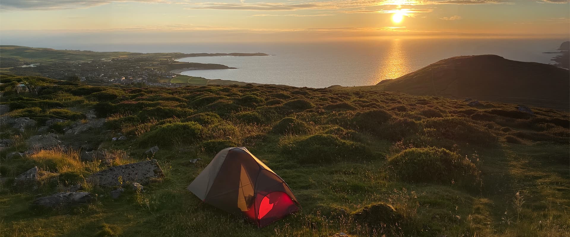
There are many campsites along this trail, but it’s not always guaranteed that you’ll find a campsite at the right time, or may need to take a detour inland, so wild camping will also be required. There are many empty beaches, so sand pegs for your tent are recommended to make full use of those sandy sunrises, but make sure you check the tide times.

There are some built up/urban sections such as Millford Haven – Pembroke and most of the southern section around Swansea where no camping is available and you’ll need to stay in a B&B or hotel. If you are wild camping, please be aware that wild camping is not permitted in Wales, but it is accepted if you are respectful and pitch late, pitch unseen, and leave no trace. If you are asked to move on you should abide by this. Although throughout the whole trail, I was never asked to move on.

Best time of the year

The Wales Coast Path is open all year but the best time to walk it is summer, when the weather is more stable – though in Wales, it can rain any time and you must be prepared with waterproof clothing. Certain seaside resort areas such as Colwyn Bay will be busy but it doesn’t take long to reach a peaceful place again. I walked the Anglesey Coast Path over sunny summer weekends and national holidays, and was surprised by how few people I saw.

Safety & Gear

This is considered a safe path but there are risks to be aware of. The path can cut close to crumbling cliffs, so you’ll need to be aware of crack lines and keep clear. Do not camp around these areas, and don’t pitch on beaches under cliffs. If you are camping on beaches, be aware of tide times (you can Google these by searching [place name] + tide times) and look out for a line of seaweed on the beach to show where the tide rises to, although spring tides can be much higher. You’ll need to be aware of tide times for tidal crossings too, more about this in the ‘good to know’ section below. In an emergency, dial 999 and ask for the coastguard.

There is a military firing range at Castlemartin (Pembrokeshire) and that section of the path will be closed if there is a firing scheduled (more about this in the ‘good to know’ section below). If the range is closed to the public, there will be red flags flying. Under no circumstances enter this section if it is closed.

Welsh wildlife is harmless but take care around cows – the path may cut through agricultural land. Cows are curious creatures, if you run, they will follow. If you find yourself being followed by cows, do not run. Stop and face them, wave your arms around and make noise – they are scared and will likely flee.

The weather changes fast so be prepared with your gear – take waterproof clothing, warm layers, and spare socks. It can also get surprisingly hot – wear a hat and take suncream.

Lastly, I hiked this trail as a woman alone. I applied common sense and never felt concerned for my personal safety. Pre-book accommodation in advance in urban areas for peace of mind.

Good to know

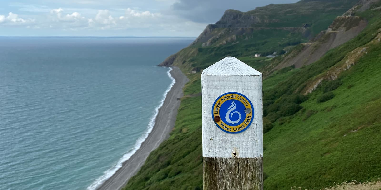
The trail is well waymarked, with cheerful yellow and blue ‘dragonshell’ waymarkers. The same waymarker may appear in red, to note an alternative route (e.g., an inland route for high tides). Certain sections have their own waymarkers, such as the ‘acorn’ of the Pembrokeshire Coast Path (the acorn is the sign of a U.K. national trail) as well as the WCP waymarker. They will both follow the same route.

Resupplying is possible throughout the trail; you shouldn’t need to carry more than four days worth of food. Some areas may only be serviced by a small village shop or post office, so there may not be much choice. Popular areas, such as resorts or towns, will have plenty of choices for shops, pubs, cafes etc.

There are populated areas and cafes/pubs to refill along the route, but there are also many remote sections. A water filter is recommended to refill at streams or in public toilets, but be aware that most of the streams will run off from agricultural land. It should be enough to carry about 2L of water.

Overall, this trail is moderate-difficulty – some sections are almost completely flat, such as the North Wales Coast & Dee Estuary, and urban South Wales. However, others are very hilly – the Pembrokeshire Coast Path has a total ascent and descent of 11,000m (35,000ft) – which is greater than Everest, and trekking poles are recommended to support your knees! However, it’s an excellent long-distance or section hike for new long-distance hikers with a fair level of fitness, due to its clear waymarkers making navigation more straightforward, although you will still want a GPX file to keep you on track.

There are two tidal crossings both on the Pembrokeshire section, one at the Gann near Dale and the other at Sandy Haven. The path will be covered by the tide for over six hours, and can only be crossed two and a half hours each side of low tide. There is an alternative inland route which is about four miles and mostly road walking for both, if you miss low tide. Access to Shell Island (Llanbedr) on the Llyn Peninsula may also be impassable at high tide.

The Castlemartin firing range is on the Pembrokeshire section and if it is closed, it will not be possible to walk from Castlemartin to Broad Haven South beach without taking a very long and boring inland detour along roads. The Castlemartin – Broad Haven South section is one of the most beautiful parts of the Pembrokeshire Coast Path, so it is worth planning this section around scheduled firing. The Government website does post advance notice of firing. It’s a remote section with very limited public transport so don’t wait until you get there to find out if it’s closed.

Certain areas have excellent public transport links – the North Wales section for example has regular trains running to most of the seaside towns. Other areas have bus services, though the more remote, the more limited. Taxis are rarely available in remote areas or small villages.

route
Point to point
Highest point
352m (1,155 ft)

Guidebooks

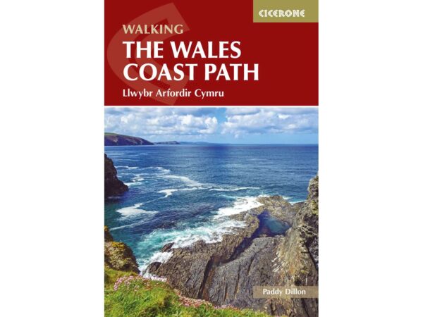
guidebook wales coast path

Wales Coast Path

View guidebook

Want to submit a trail or make this page more complete?

Always read the disclaimer

Terms of Use: important to all visitors on this website. We strive to publish high quality content and information on this website. However it’s always possible that we’re missing out on some crucial information. In spite of the fact that this route, associated GPS track (GPX and maps) were prepared under diligent research by the specified contributor and/or contributors, the accuracy of such and judgement of the author is not guaranteed. Therefore, hiking-trails.com and contributors are in no way liable for personal injury, damage to personal property, or any other such situation that might happen to individuals hiking or following this route. Should you choose to hike this trail, this is always at your own risk. Check out our guidelines for safety hiking and Leave No Trace principles at the hiking 101 page.

Download GPX

Join the community!

Login or create a FREE account 😊

With an account you can:

Download GPX files

Pin trails to your wishlist

Mark trails as hiked by you

Rate hiking trails

Comment on trails, blogs and gear reviews

Happy trails!
Login

Don't have an account yet? Register here