About the Nendaz Trekking

Alps
country
Switzerland
length
55 km(34 mi)
Type of trail
Hut to hut, Long-distance
difficulty

Difficulty is highly personal. Be aware of the weather conditions as bad weather turns easier trails in difficult trails especially in the mountains.

Moderate
accommodation

Lodging means a mix of hotels, hostels or AirBnB’s.

Mountain huts
Elevation gain
2340 m(7677 ft)
terrain
Mountains
remoteness
Some of the time
Show more

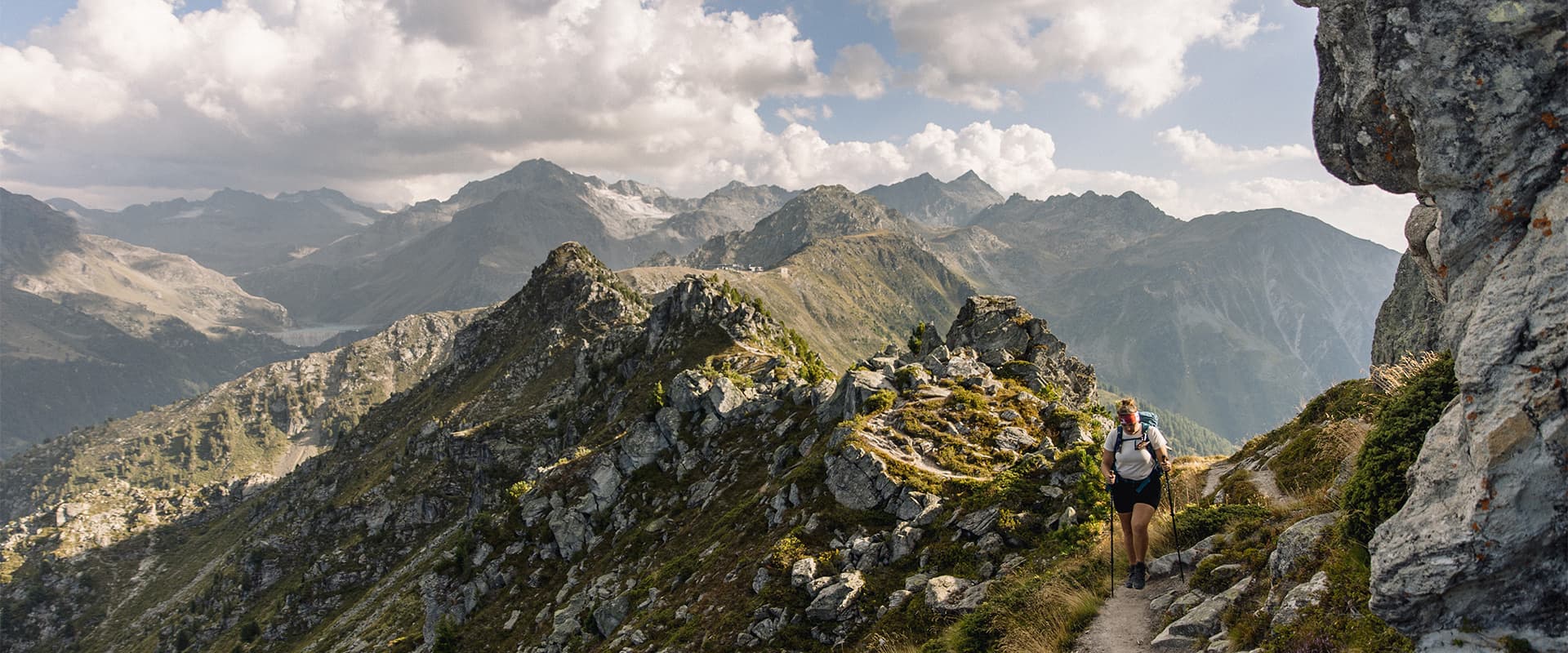
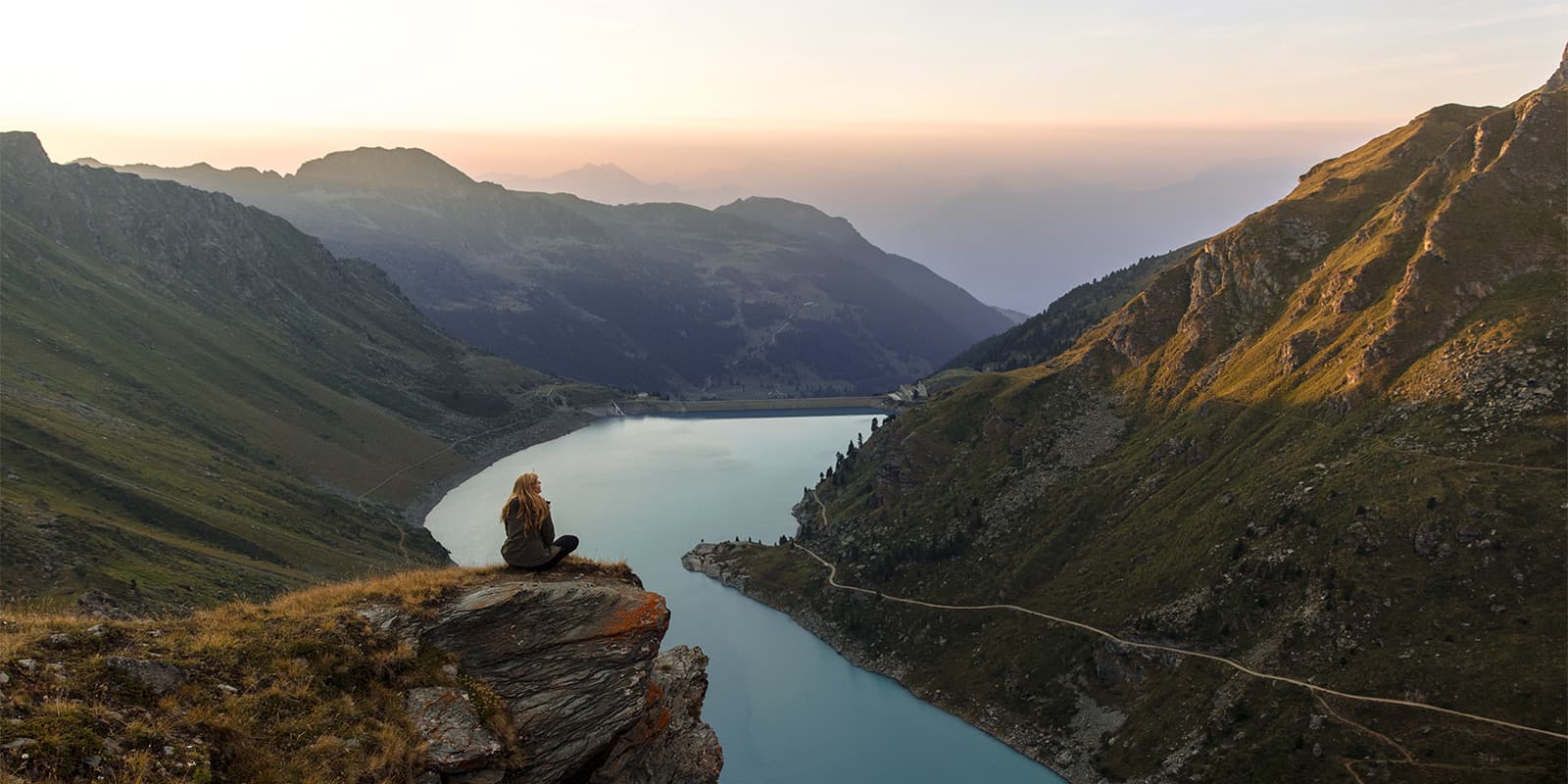
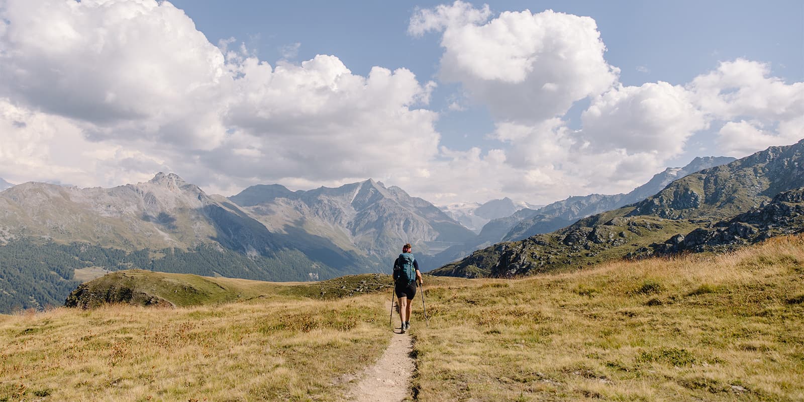
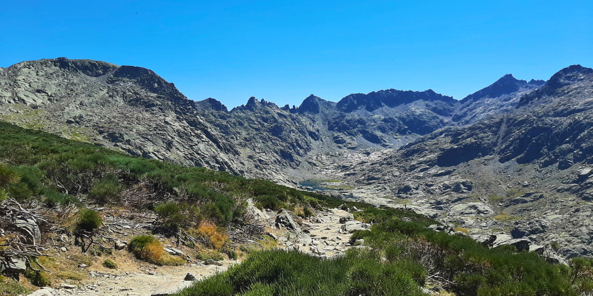
Views on the Walliser Alps, a buffet of blueberries along narrow tracks, and a lake so blue it looks like someone went crazy in Photoshop. The Nendaz Trekking is not very intense and not very technical, but the mountain landscapes are spectacular. The landscape seems to change every few kilometers, showing you more in 13 kilometers than you might see in 20 kilometers in another area.

The Nendaz Trekking offers an immersive alpine adventure through Switzerland’s Val de Nendaz, including stays in three cozy mountain huts.

paulien profile picture
Author

Paulien van der Werf

Paulien van der Werf has loved camping from a young age, but her love for long-distance trails grew when she was 23. That hiking trip in Scotland ignited a love for hiking, wild camping, and remote areas so strong that she left her job and apartment behind to become a full-time hiker and – later – cyclist. You can follow her adventures on Instagram @outdoorinspiratie.

View profile

The Trail

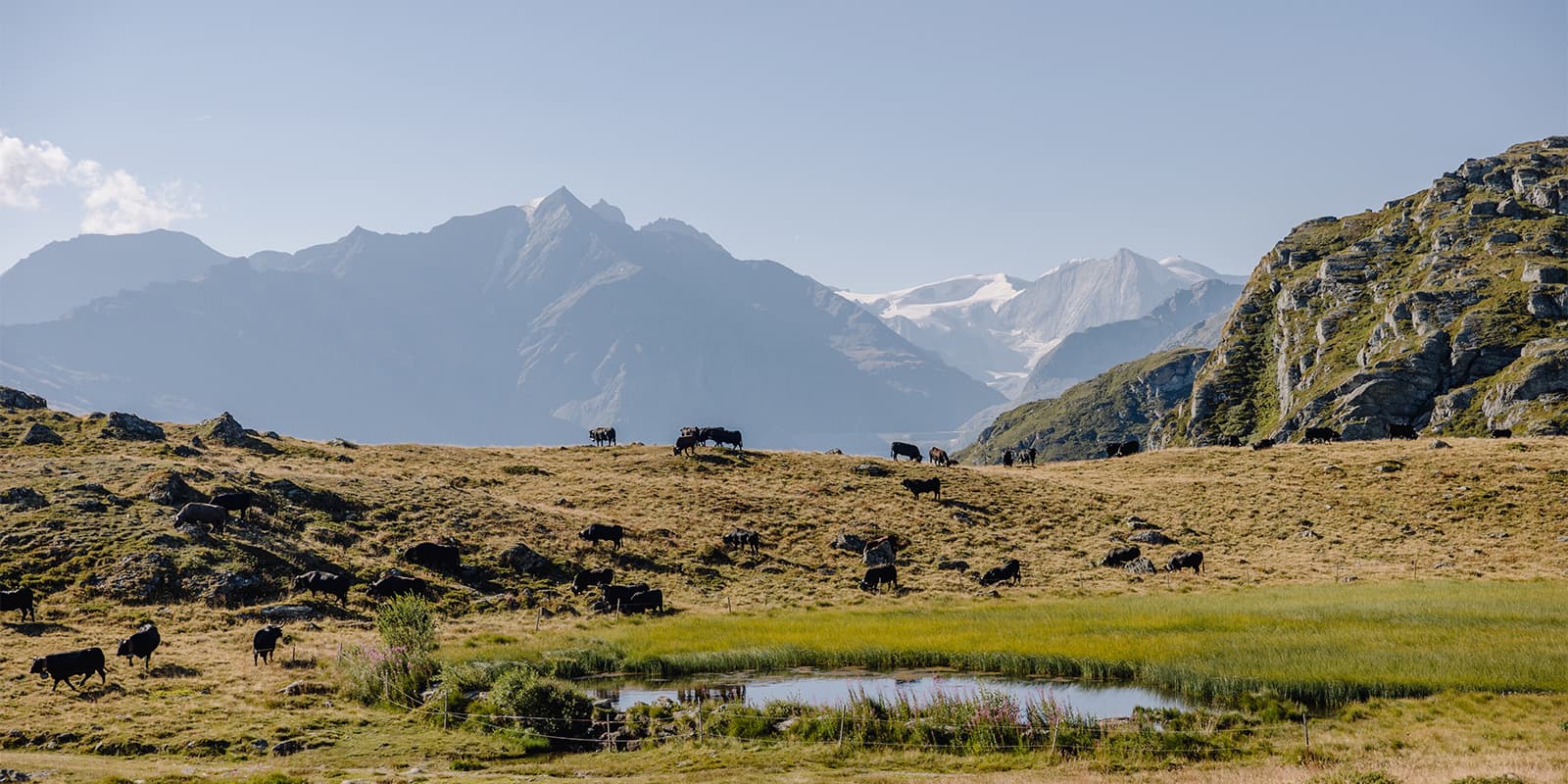
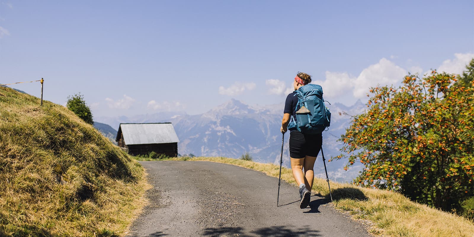
The Nendaz Trekking starts in the small town of Veysonnaz. Here, it’s time to use your map reading skills, because the route is not waymarked apart from a few yellow waymarkers helping you find your way to different places along the route. You’ll walk uphill through a fairytale forest, with impressive pine trees on a bed of high grass. From here, the trail passes through the wintersports-town Thyon, which is very quiet in summer. If you are already feeling quite hot by now, this is a good stop to eat some ice cream while looking at the Jungfrau, Matterhorn, and their neighbors on the horizon. The route continues on singletracks through open landscapes, with blueberries, mountain lakes, and herds of big, black cattle that are typical for the region.

After a night in the cozy Cabane d’Essertze, you cross the pass near Mont Rouge. Here, at the wooden cross, you enjoy mountain panoramas on two sides. Try to descend on the much greener slope on the other side, where you might spot baby marmots looking curiously from their holes in the ground. Here you will follow the Bisse de Chervé, an old irrigation channel. There are many of these on the south-facing slopes above Nendaz. The hot climate and the burning sun make these slopes very dry, and the channels were used to treat the village to water transported from higher altitudes. Follow the mountain path until you see the very blue mountain of Lac de Cleuson, which exists because of a 420-meter wall. The ascent here is relatively steep to Cabane Saint-Laurent. Funnily enough, the best view of the lake will be near the outdoor toilets.

If you wake up feeling energetic, visit the Lac du Grand Désert in the mountain valley above the hut. It is a beautiful lake that is worth the extra ascent and descent. Afterward, you will descend to the Lac de Cleuson, following the shore and crossing the dam. Peek inside the white little church and walk through the larch forest. The final ascent of the day will take you to the col Basso d’Alou. Here, you can choose between the vertigo-friendly path through young larch trees or walking the exposed ridge to the Dent de Nendaz. The paths are narrow and exposed to steep depths, and there is some scrambling involved. This adventure takes you to a cross, from which you look over the valley of the Rhône-river. A truly delicious dinner will await you on the panoramic terrace of Cabane de Balavaux.

The last day of the Nendaz Trekking is very climatic. You start your walk between the up to 800-year-old larch trees on the Balavaux pasture. These trees belong to the biggest of the Alps and have an impressive perimeter. Another irrigation channel, the Bisse de Saxon, will guide you to the Pra da Dzeu. This sunny pasture is perfect for a picnic with views of the mountains and is perfect for an afternoon nap. The Bisse Vieux will guide you to the town of Haute Nendaz, where nice restaurants and hotels make sure you get your well-deserved rest.

Stages

4-stage itinerary

Stage 1:

Veysonnaz – Cabane d’Essertze, 13.4 km | 8.3 mi

Stage 2:

Cabane d’Essertze – Cabane Saint-Laurent, 13.6 km | 8.9 mi

Stage 3:

Cabane Saint-Laurent – Cabane de Balavaux, 14.6 km | 9.1 mi

Stage 4:

Cabane de Balavaux – Haute Nendaz, 13.8 km | 8.6 mi

Accommodations

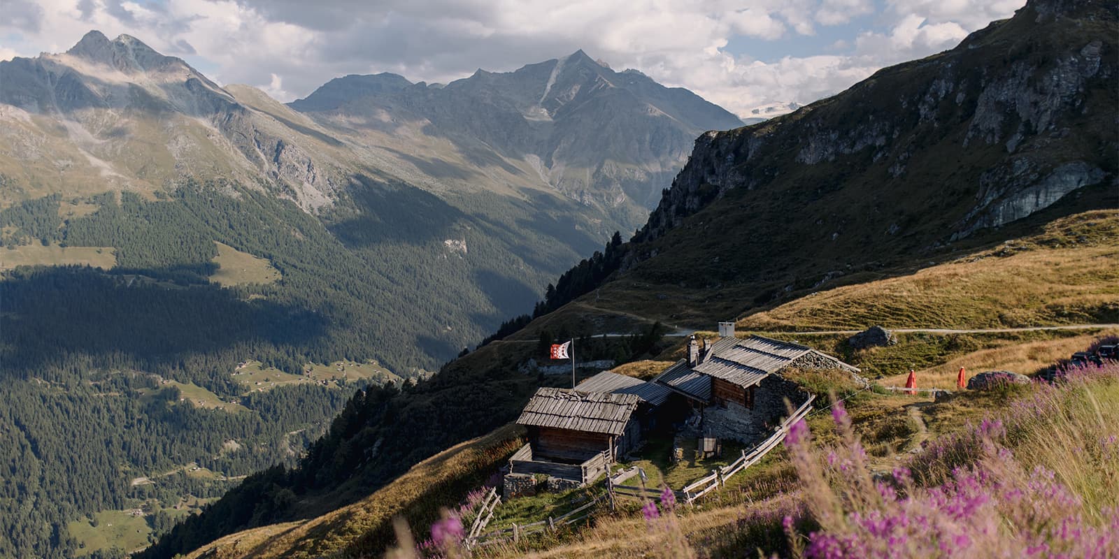
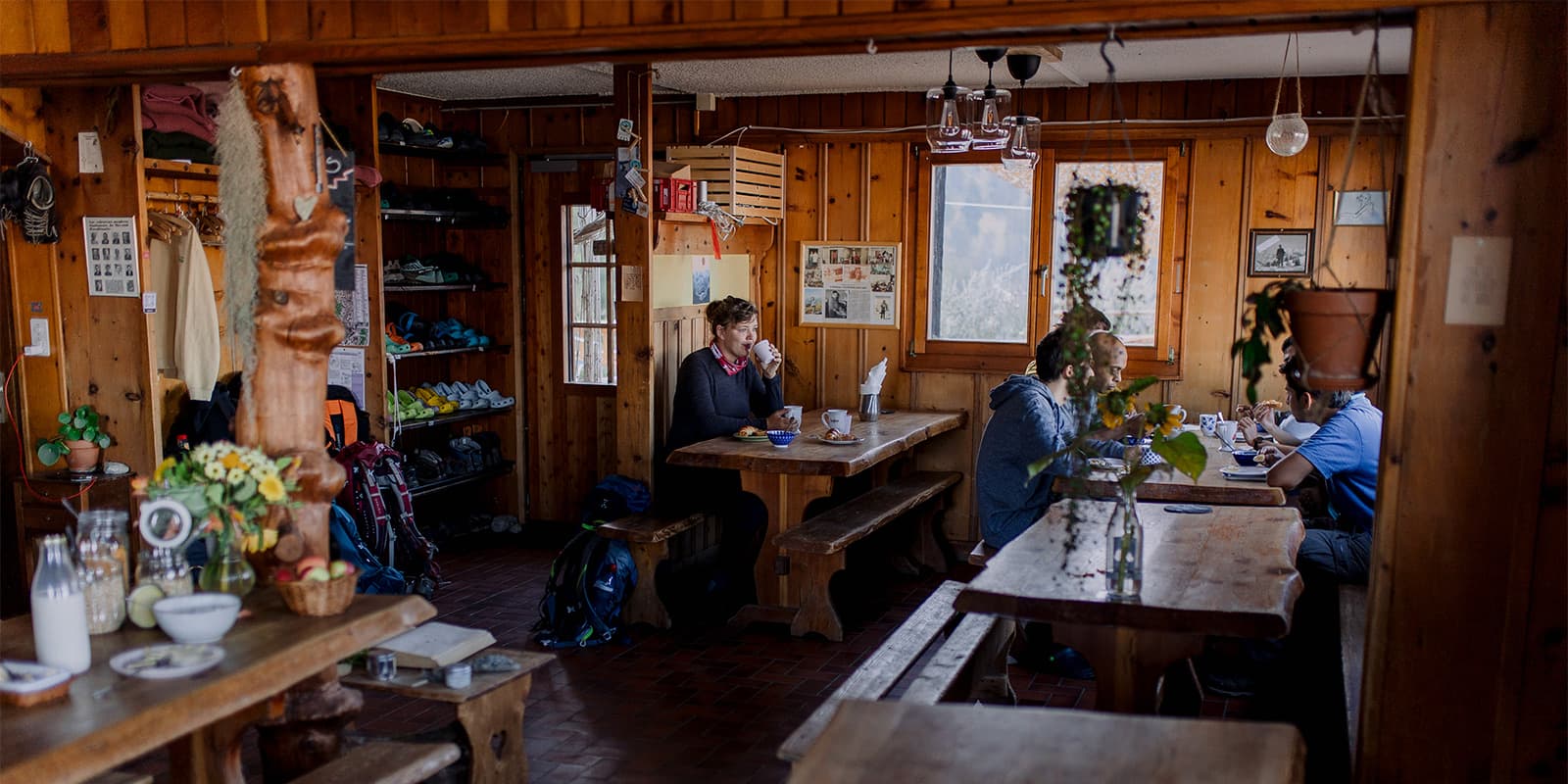
Along the Nendaz Trekking, there are three very diverse mountain huts. They are all relatively small and authentic. All of them have great views, including views of the Milky Way at night. I loved Cabane d’Essertze for the cozy atmosphere, Cabane Saint-Laurent for the views over the lake, and Cabane de Balavaux for the delicious food. It is possible to eat vegetarian meals in each of the huts, but you should mention this preference in your booking. For July and August, it’s wise to book the huts a few months in advance. June and early September are in lower demand, but here you risk hut closure due to late or early snow. Do consider staying a night in Haute-Nendaz after your last stage. There, you find a spa with an infinity pool and restaurants with delicious Swiss meals like Nendaz cheese fondue.

Mountain huts per stage

Best time of the year

The best time of the year to hike the Nendaz Trekking is in summer, between early June and early September. You can start in June as soon as the snow fields have melted. If the first snow falls early in autumn, the huts will be closed. The people at the Nendaz Tourist Information are very helpful and can provide you with details on the current snow conditions.

Although the Nendaz Trekking is not a technically challenging trail, keep in mind that you are in alpine terrain, meaning weather conditions can change rapidly. There is not much shelter on the stretches between mountain huts. Check the weather forecast before you set off, or ask the hut staff for advice.

Safety & Gear

You don’t need any mountaineering gear for the Nendaz Trekking. The ridge on day 3 is narrow at times, but it’s not via ferrata and not so exposed that someone with basic mountain hiking skills can’t do it. People with vertigo should take the detour to avoid this exposed stretch. The alternative route is a beautiful hike through a larch forest, so there’s no disappointment.

The Nendaz Trekking is not waymarked, and you don’t want to solely depend on your phone. It’s recommended to buy a hiking map at the tourist office in Haute-Nendaz. The route is not drawn in on the map, so take your time to do that before you set off. Boulangerie Pâtisserie La Nendette is the perfect place to sit down, study the map, and enjoy coffee and breakfast.

Take boots or shoes with proper grip and be prepared for changing weather conditions. Evenings can be pretty cold, even in the height of summer, while days can be hot. Bring sun protection and plenty of water, especially on the warmer days.

Good to know

It is recommended to book all huts in advance since they are not very big and the Nendaz Trekking is becoming better known by hikers. It is possible to book the Nendaz Trekking as a package including nights, full board (all meals), a hiking map with the route drawn, and a shuttle service to the starting point. This is not much more expensive than booking yourself and can be very convenient.

route
point to point
highest point
2470m (8104 ft)

Want to submit a trail or make this page more complete?

Always read the disclaimer

Terms of Use: important to all visitors on this website. We strive to publish high quality content and information on this website. However it’s always possible that we’re missing out on some crucial information. In spite of the fact that this route, associated GPS track (GPX and maps) were prepared under diligent research by the specified contributor and/or contributors, the accuracy of such and judgement of the author is not guaranteed. Therefore, hiking-trails.com and contributors are in no way liable for personal injury, damage to personal property, or any other such situation that might happen to individuals hiking or following this route. Should you choose to hike this trail, this is always at your own risk. Check out our guidelines for safety hiking and Leave No Trace principles at the hiking 101 page.

Download GPX

Join the community!

Login or create a FREE account 😊

With an account you can:

Download GPX files

Pin trails to your wishlist

Mark trails as hiked by you

Rate hiking trails

Comment on trails, blogs and gear reviews

Happy trails!
Login

Don't have an account yet? Register here